The best walks and hikes around Valtournenche
4.6
(2158)
13,030
hikers
290
hikes
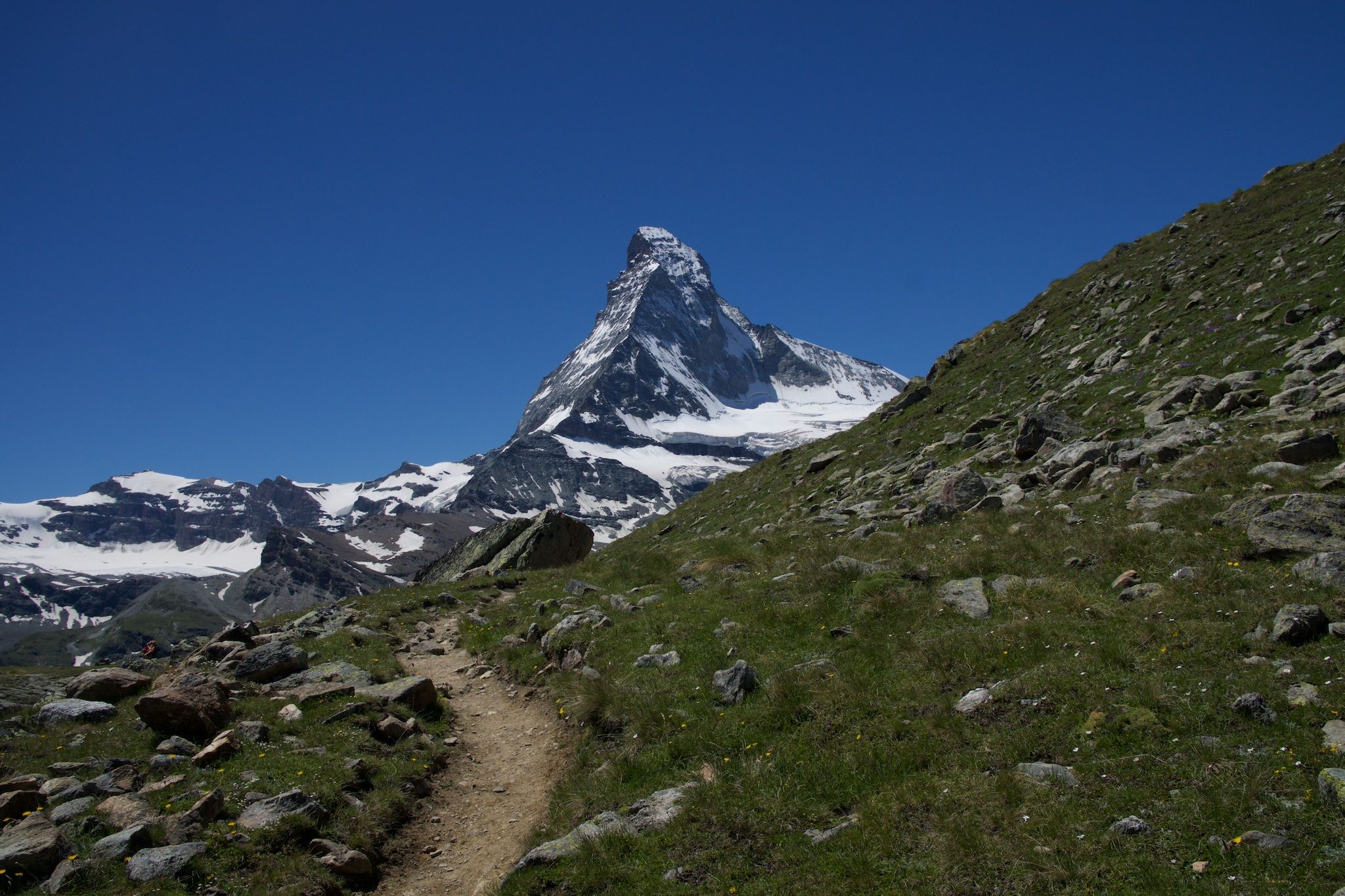
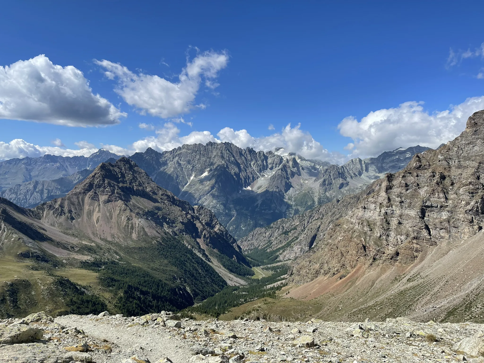
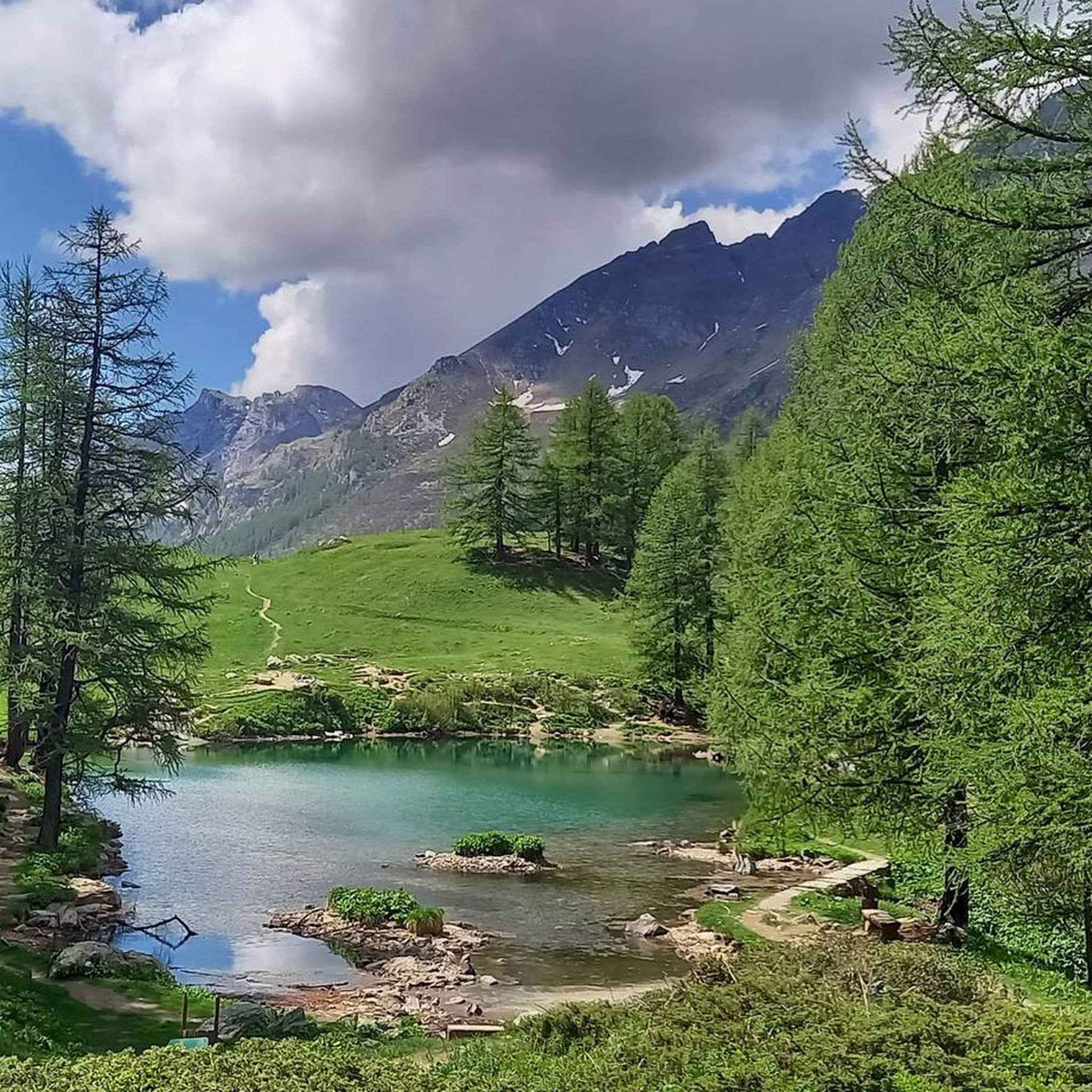
Hiking around Valtournenche offers diverse terrain at the foot of the Matterhorn in Italy's Aosta Valley. The region is characterized by imposing peaks, numerous alpine lakes such as Blue Lake and Cignana Lake, and the Marmore stream carving through the landscape. Expansive green meadows and dense forests cover the valley and mountain slopes, providing varied environments for exploration. Glaciers and snow-capped summits are also prominent features of this high-alpine area.
Best hiking trails around Valtournenche
- The most popular hiking route is Ascent to Rifugio Oriondé – Circular Tour, a 7.7 miles (12.4 km) trail that takes 4 hours 55 minutes to complete. This challenging route offers panoramic views of the surrounding peaks and valleys.
- Another top favourite among local hikers is Trail to Rifugio Duca degli Abruzzi (via Route 13), a difficult 5.7 miles (9.2 km) path. This trail ascends through alpine landscapes, leading to a mountain refuge with expansive vistas.
- Local hikers also love the Plan Maison and Goillet dam lake – Loop tour, a 6.5 miles (10.5 km) trail leading through high-alpine meadows and past the Goillet dam lake, often completed in about 4 hours 7 minutes.
- Hiking around Valtournenche is defined by the iconic Matterhorn, pristine alpine lakes, and extensive green meadows. The network offers options for various ability levels, from accessible paths to challenging high-altitude ascents.
- The routes in Valtournenche are highly rated by the komoot community with an average score of 4.6 stars from over 1,900 reviews. More than 11,800 hikers have used komoot to explore Valtournenche's varied terrain.
Last updated: August 17, 2026
4.8
(68)
456
hikers
12.4km
04:55
780m
780m
The Ascent to Rifugio Oriondé – Circular Tour is a difficult hike in the Pennine Alps, offering a significant alpine experience. This challenging route covers 7.7 miles (12.4 km) with a substantial elevation gain of 2556 feet (779 metres), typically taking around 4 hours and 55 minutes to complete. As you hike, you'll immerse yourself in an alpine landscape, with options for a wide dirt road or steeper shortcuts. A key part of the journey is the narrow ridge trail leading to the Rifugio Duca degli Abruzzi all'Oriondé. From the refuge, you can see the iconic Matterhorn from its south side, the surrounding valleys, and the vast Plateau Rosà. Along the way, you will also pass the charming Chiesa degli Alpini and a picturesque waterfall.
This hard hike demands good fitness, sure-footedness, and sturdy shoes. You should have prior alpine experience, as some sections may involve technical or hazardous terrain, potentially requiring specialist equipment. The ascent to the refuge from Breuil-Cervinia involves about 800 to 900 meters of climbing, typically taking two and a half hours. Remember to prepare for a substantial elevation gain and ensure you are well-equipped for alpine conditions.
The Rifugio Duca degli Abruzzi all'Oriondé is a historic mountain hut, built in 1929, perched at 2,802 meters. It serves as a vital base for mountaineers and is a well-known starting point for the Matterhorn's Italian normal route. For hikers, it offers comfortable accommodation with 22 beds, modern amenities, and a restaurant serving traditional Aosta Valley cuisine. A further 30-minute walk from the refuge leads to the Carrel Cross, providing an even wider view of the surrounding peaks. Keep an eye out for local wildlife, such as mountain goats, during your hike.
4.8
(81)
573
hikers
9.21km
04:38
850m
850m
Prepare for a challenging hike on the Trail to Rifugio Duca degli Abruzzi (via Route 13), a difficult route that climbs 2785 feet (849 metres) over 5.7 miles (9.2 km). As you ascend, you'll leave behind village streets for rugged mountain paths, with the sound of cascading water from Torrente Porteiller waterfalls accompanying your climb. The trail offers increasingly dramatic views of the Matterhorn, culminating in a spectacular panorama from the rifugio.
This route typically takes around 4 hours and 38 minutes to complete, so plan your day accordingly. You can begin your journey from Cervinia's center, following the yellow trail markers for Route 13. If you are driving, parking is available on side streets off Via Circonvallazione in Cervinia, making for convenient access to the trailhead. Always check local conditions before you set out, especially for a hike of this difficulty.
This trail is often called the "gateway to the Matterhorn," offering a unique perspective on the iconic peak. Along the way, you'll pass the small Alpini Chapel, a memorial with excellent views of the Matterhorn. Once you reach Rifugio Duca degli Abruzzi, you can enjoy homemade tiramisu and coffee, or continue further to Croce Carrel, a memorial and viewpoint honoring the legendary guide Jean Antoine Carrel.

Sign up for free
4.3
(38)
124
hikers
10.5km
04:07
620m
620m
Embark on the Plan Maison and Goillet dam lake – Loop tour, a moderate hike that takes about 4 hours and 7 minutes to complete. This route covers 6.5 miles (10.5 km) with an elevation gain of 2021 feet (616 metres), offering diverse terrain from accessible paths to rocky slopes. You will experience breathtaking alpine scenery, with granite peaks and vibrant mountain flowers in summer, and the iconic Matterhorn often reflected in the clear waters of Lake Goillet.
To plan your visit, note that the recommended period for hiking is from July to September. The trail starts from Plan Maison, which you can reach by cable car from Breuil-Cervinia. While the full loop is moderate, requiring good fitness and sure-footedness, there are also shorter, easier options available, such as a 0.75-mile (1.2 km) walk to Lake Goillet, suitable for families. Be aware that direct passage over the dam crest is not possible, so you might need to descend a rocky slope and climb the opposite side.
This loop is notable for its exceptional close-up views of the Matterhorn, especially its reflection in the man-made Lake Goillet. This artificial reservoir, created between 1939 and 1948 for hydroelectric power, holds 12 million cubic meters of water. You can also see the impressive dam structure, 48.60 meters high and 368 meters long, with old railway tracks from its construction still visible. The trail traverses a beautiful alpine environment, including lush larch woods, providing a quintessential mountain hiking experience in the Aosta Valley.
4.7
(29)
301
hikers
17.0km
06:36
1,260m
1,260m
The Climb to Rifugio Teodulo is a difficult hike, demanding very good fitness and alpine experience for its 10.6 miles (17.0 km) and significant 4139 feet (1261 metres) of elevation gain. You should expect to spend around 6 hours and 35 minutes on the trail. As you ascend, you will be treated to spectacular panoramic views, including close-up vistas of the iconic Matterhorn and the impressive Grandes Murailles chain, culminating at the historic Theodul Pass.
This challenging route often involves alpine and rocky sections. If you plan to hike early in the season or extend your journey towards Zermatt, be aware that some parts may require a guide and specialized gear like crampons and ropes due to unmarked glacier crossings. While some sections are accessible, others demand sure-footedness and sturdy shoes, so prepare accordingly for the varied terrain.
Rifugio Teodulo and the pass hold rich historical significance, having served as a vital inter-valley passage between Italy and Switzerland for centuries. The refuge itself sits directly on the international border, marked by both Italian and Swiss flags. It is also a key point along the long-distance Tour Monte Rosa trail and offers a warm resting place, embodying the unique "rifugio culture" with food, drink, and a panoramic lounge overlooking the Matterhorn.
4.8
(37)
236
hikers
19.1km
08:10
1,310m
1,310m
If you are looking for a difficult hike with significant rewards, the Climb to Lago Cicagna and Rifugio Jeam Barmasse loop tour is a challenging option in the Cervino Valley. This 11.9-mile (19.1 km) route takes you through diverse alpine terrain, including pastures and wooded areas, with a substantial elevation gain of 4314 feet (1315 metres). You will need sure-footedness for some steep and uneven sections, but the paths around Lago di Cignana are generally not very technical. Expect to spend around 8 hours and 9 minutes completing this loop, which includes crossing an artificial dam and possibly a wooden walkway. From the Cignana Window, you can enjoy a wide panorama of Lago di Cignana, surrounding peaks, and the Monte Rosa glacier. You will also pass through the Falegnon Alpine Hamlet, with its traditional huts and green meadows.
This loop tour is rated as difficult, requiring very good fitness due to its length and considerable elevation changes. The recommended period for hiking in this area is typically from June to September, when conditions are most favorable. While the research does not specify trailhead access or parking details, planning for an early start is always wise for an 8-hour hike. Be prepared for varied terrain and ensure you have appropriate gear for a full day in the mountains.
The trail's primary highlights are Lago di Cignana and Rifugio Jean Barmasse. The Rifugio, located on the shores of Lake Cignana at 2,200 meters, offers a great base for summer excursions and provides well-equipped facilities. Lago di Cignana itself is one of the largest artificial lakes in the Aosta Valley, created for hydroelectric power, and offers scenic views nestled among the mountains. You might even spot local wildlife like marmots, ibexes, and chamois in this peaceful setting. The Cignana Window is also a notable viewpoint, featured in other regional trails, underscoring its importance.
Get access to more routes and recommendations from other explorers.
Sign up for free
Already have an account?
Our route recommendations are based on thousands of hikes, rides, and runs completed by other people on komoot.
Start today with a free account
Your next adventure awaits.
Login or Signup
Popular around Valtournenche

Alta Via n. 1 of the Aosta Valley — a walk among Italian giants
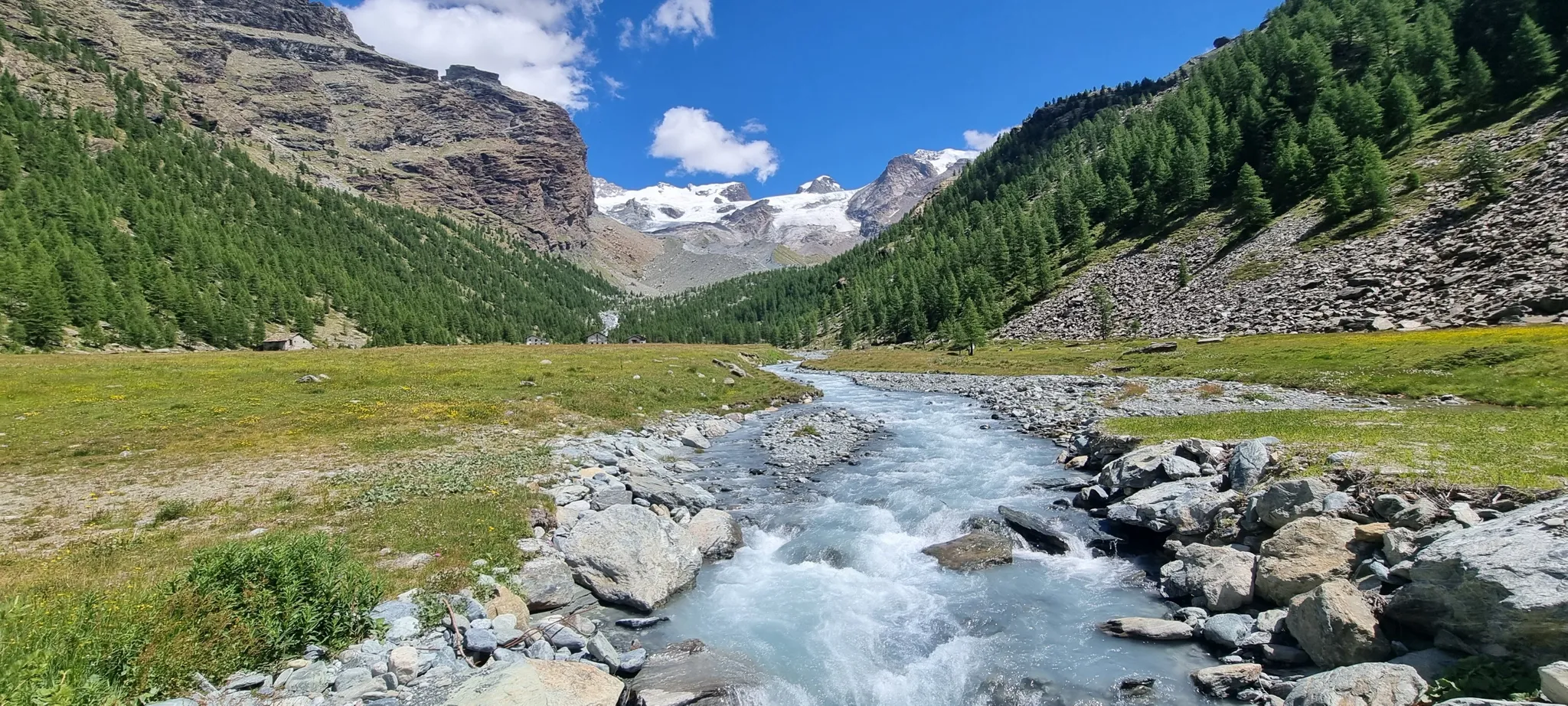
Majestic peaks and wild nature – Champoluc to Cervinia loop
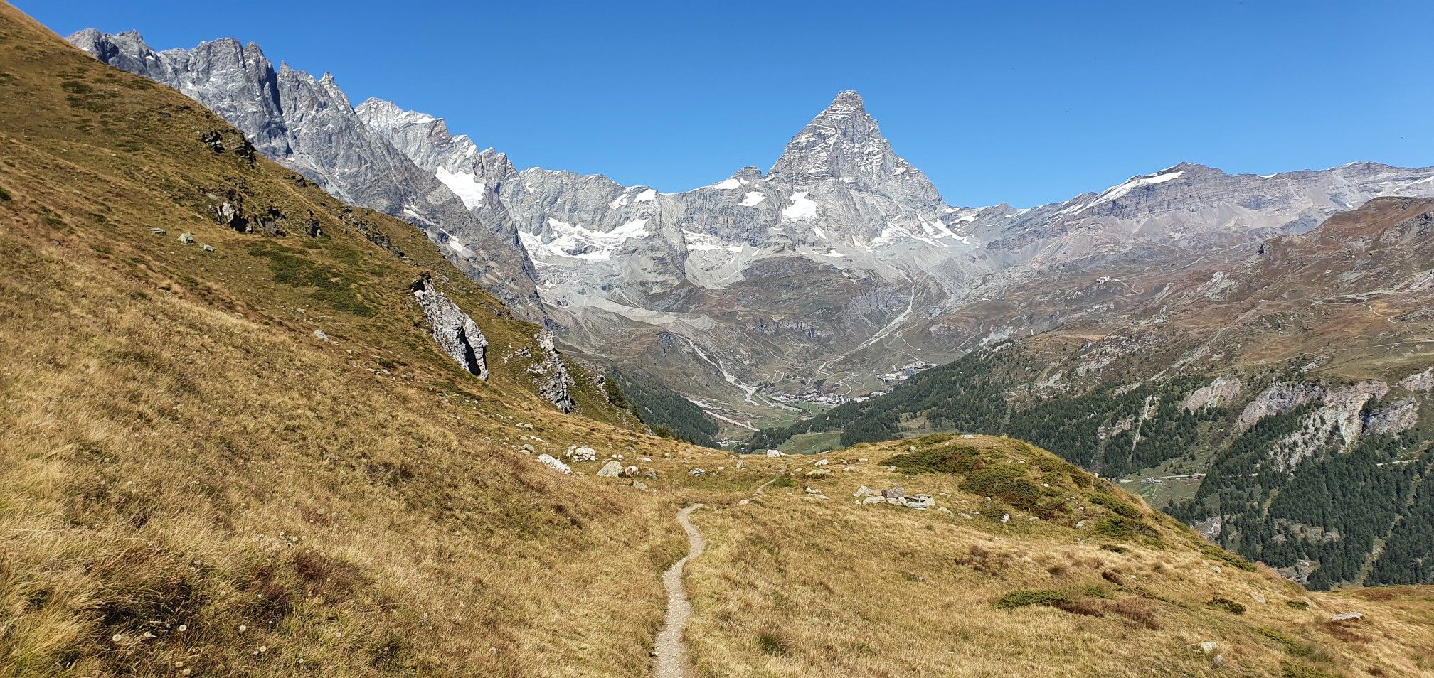
A breath away from the king — Grand Balcony of the Matterhorn

A walk among Italian giants — Aosta Valley High Route 1
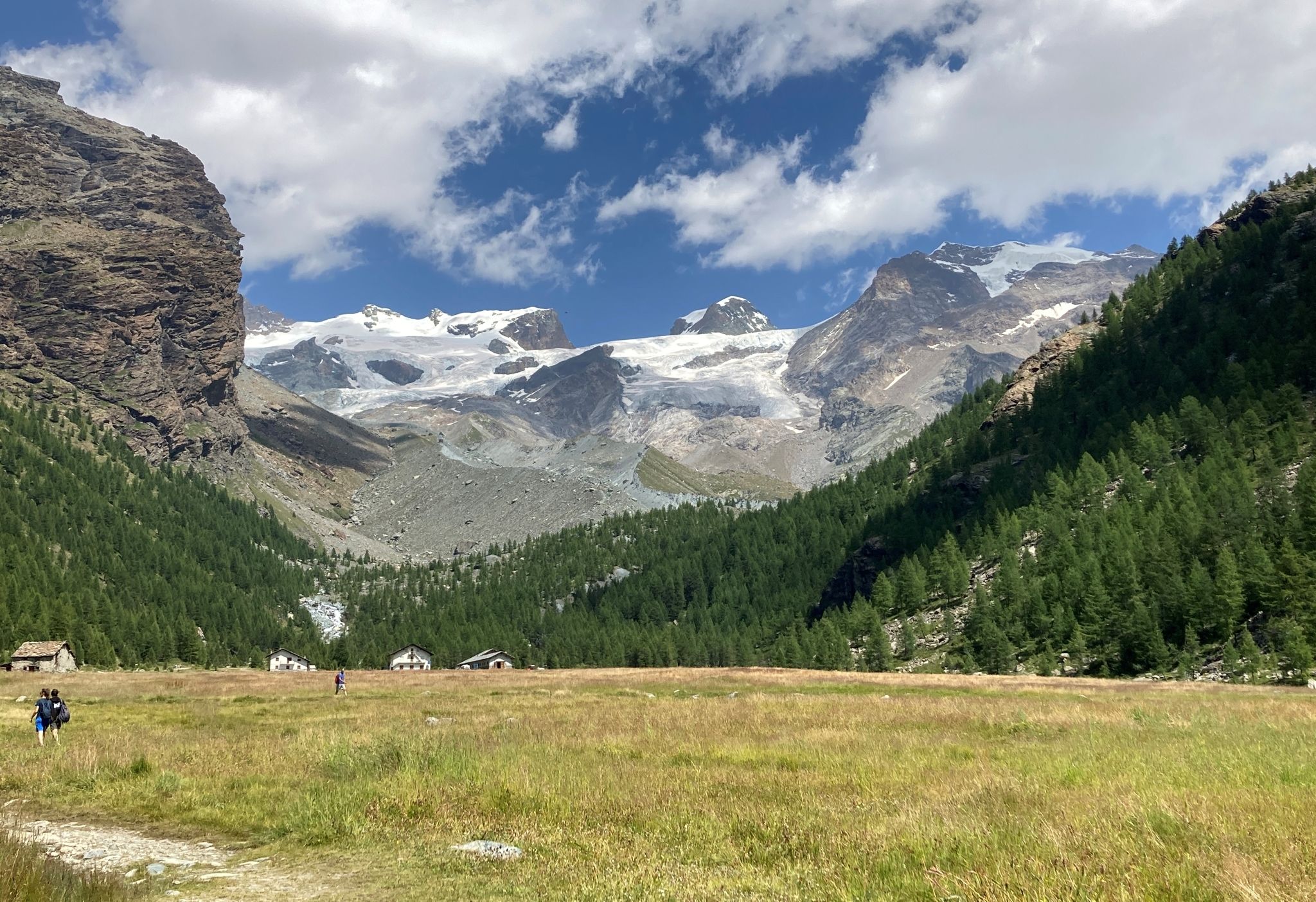
Tour of Monte Rosa – a trek among the Giants between Italy and Switzerland
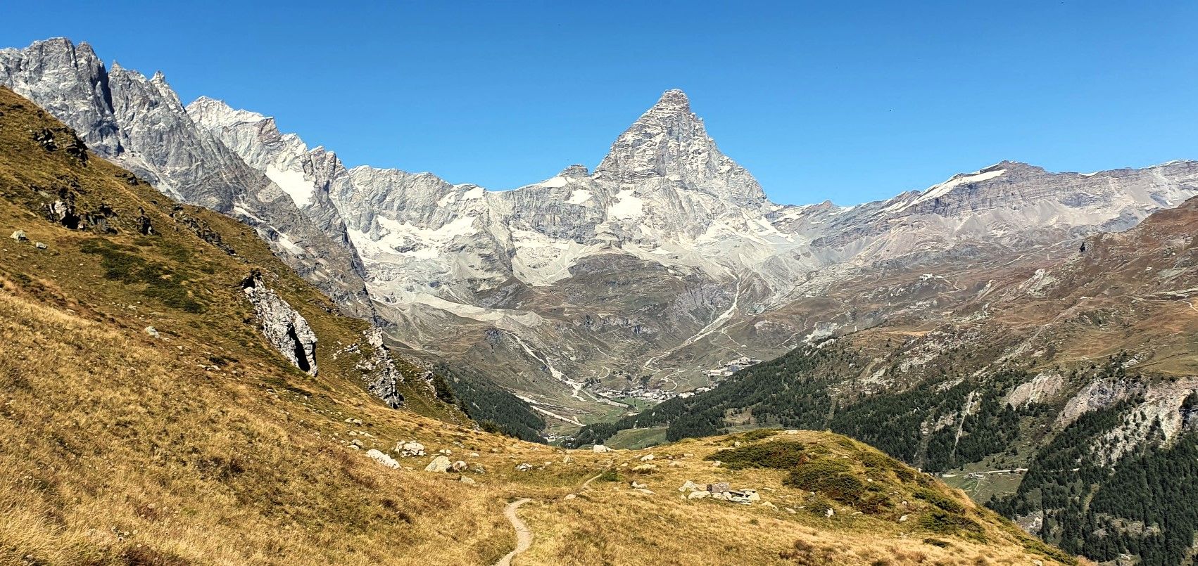
Running with the King – Great Balcony of the Matterhorn
On the noble rock of the Alps – Cervino Matterhorn Ultra Race
Running between the giants of the Alps – Tor des Géants
MTB Trails around Valtournenche
Running Trails around Valtournenche
Other adventures around Valtournenche


Tips from the Community

Chavannon is a small hamlet in the territory of La Thuile, immersed in woods and alpine landscapes with an authentic character. On the clearest days, from this area, you can also glimpse the unmistakable profile of the Matterhorn in the distance, one of the most iconic symbols of the Alps.
1
0

Tourist location with bar and restaurants, and starting point of the cable car
0
0

During wintertime you can come here and start hiking from this point along the ski-tracks. At that time it is not the quietest place because of the many skiers.
0
0

Spectacular view of Lake Cignana and the 3000m crown that surrounds it.
0
0

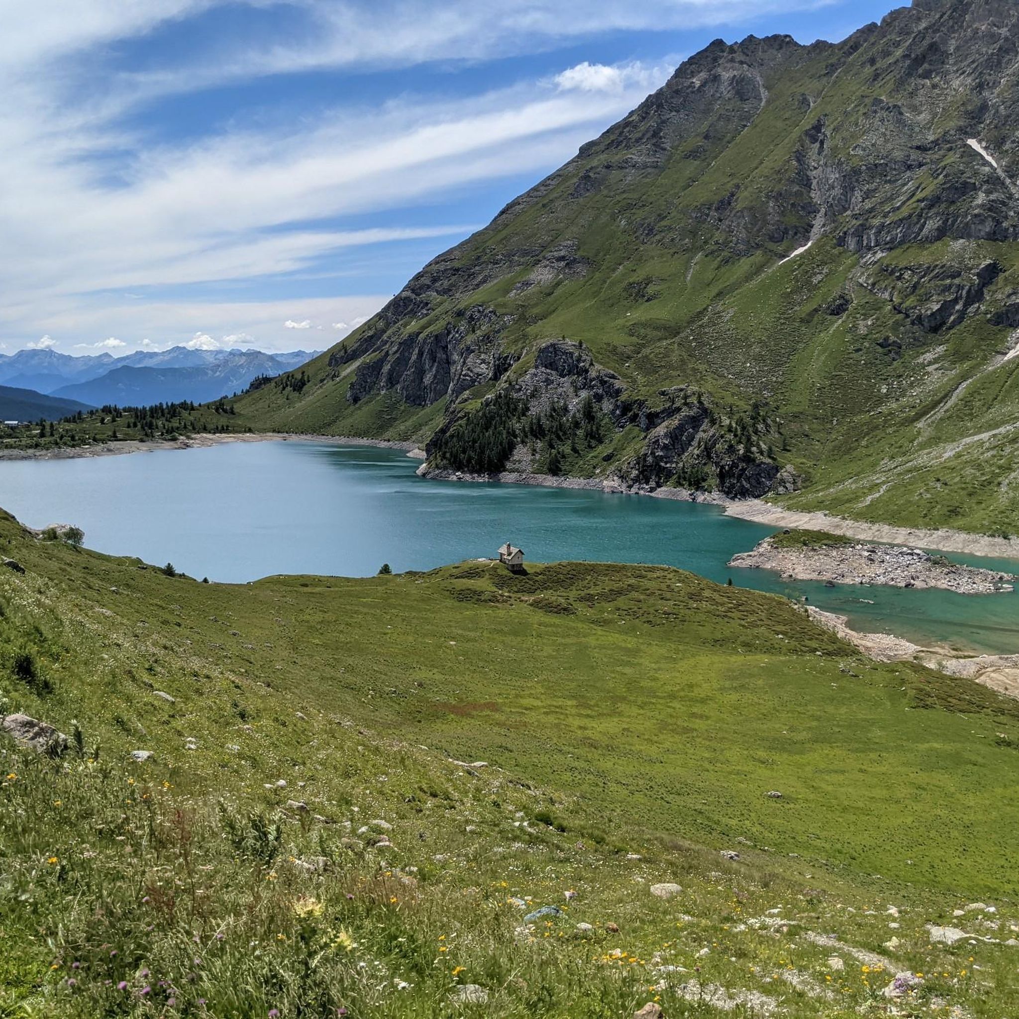
The presence of the dam, majestic and well integrated into the landscape, adds a touch of engineering charm to this corner of uncontaminated nature. Lake Cignana is an Alpine body of water that enchants with its crystalline beauty, nestled between the mountains of Valtournenche. Surrounded by imposing peaks and green meadows, the lake offers an atmosphere of peace and serenity, perfect for a regenerating break during excursions.
1
0
Rifugio Jean Barmasse, at 2,169 meters above sea level in Valtournenche, is a welcoming refuge that welcomes hikers looking for tranquility and breathtaking views. Immersed in a unique natural setting, it offers a rustic and warm atmosphere, perfect for recharging your batteries after a day on trails and Alpine lakes. Its strategic position makes it an ideal starting point for exploring the wonders of Alta Via 1 and the surrounding mountains.
1
0
The Cignana Lake Dam stands majestically at over 2,100 meters above sea level, creating a suggestive body of water framed by the mountains of Valtournenche. This impressive engineering work not only regulates the course of the water, but enriches the Alpine landscape with its austere charm. Reachable via a pleasant path, the lake and the dam offer an ideal destination for those seeking a walk among nature, history and spectacular views.
1
0
The Cignana Lake Dam stands majestically at over 2,100 meters above sea level, creating a suggestive body of water framed by the mountains of Valtournenche. This impressive engineering work not only regulates the course of the water, but enriches the Alpine landscape with its austere charm. Reachable via a pleasant path, the lake and the dam offer an ideal destination for those seeking a walk among nature, history and spectacular views.
1
0
Frequently Asked Questions
How many hiking trails are available in Valtournenche?
Valtournenche offers over 270 hiking trails, catering to a wide range of abilities. You'll find everything from easy strolls to challenging high-alpine ascents amidst stunning mountain scenery.
Are there easy or family-friendly hiking options in Valtournenche?
Yes, Valtournenche has over 20 easy trails suitable for families and beginners. Many paths are pleasant and accessible, such as the walk to the Blue Lake, known for its vibrant color, or the pedestrian-naturalistic trail connecting the hamlets of Perrères and Promoron.
What kind of natural features and landmarks can I expect to see while hiking in Valtournenche?
The region is dominated by the majestic Matterhorn, offering spectacular views from various points. You'll also encounter numerous pristine alpine lakes like the Blue Lake, Cignana Lake, and Lake Lod. The Marmore stream carves through the landscape, creating the impressive Gouffre des Busserailles with its waterfalls. Expansive green meadows, dense forests, and glaciers are also prominent features.
Are there any circular hiking routes in Valtournenche?
Yes, Valtournenche offers several circular routes. A popular option is the Plan Maison and Goillet dam lake – Loop tour, which takes you through high-alpine meadows and past the Goillet dam lake. Another challenging loop is the Ascent to Rifugio Oriondé – Circular Tour, offering panoramic views of the surrounding peaks.
What is the best time of year for hiking in Valtournenche?
The best time for hiking in Valtournenche is typically from late spring to early autumn (June to September) when trails are clear of snow and the weather is generally mild. Summer offers lush green meadows and access to high-altitude routes. Some trails may be accessible in winter for snowshoeing, but conditions can be challenging.
Are there any challenging hikes for experienced trekkers?
Absolutely. For experienced hikers, there are demanding routes like the Climb to Rifugio Teodulo, which provides breathtaking views. Another challenging option is the Climb to Lago Cicagna and Rifugio Jeam Barmasse — Loop tour, which involves significant elevation gain.
What do other hikers enjoy most about hiking in Valtournenche?
The area is highly rated by the komoot community, with an average score of 4.6 stars from over 1,900 reviews. Hikers often praise the stunning views of the Matterhorn, the pristine alpine lakes, and the diverse terrain that offers something for every skill level.
Are there mountain huts or refugios along the trails in Valtournenche?
Yes, Valtournenche has several mountain huts (rifugios) that provide welcoming stopovers for hikers. Notable ones include Rifugio Oriondé, Rifugio Duca degli Abruzzi, Rifugio Jean Barmasse, and Rifugio Teodulo, offering tranquility and stunning views.
Can I bring my dog on the hiking trails in Valtournenche?
Many trails in Valtournenche are dog-friendly, but it's always recommended to keep your dog on a leash, especially in areas with livestock or wildlife. Be sure to check specific trail regulations before you go, and always carry water for your pet.
Are there any trails that lead to viewpoints of the Matterhorn?
Many trails in Valtournenche offer spectacular views of the Matterhorn. The Trail to Rifugio Duca degli Abruzzi (via Route 13), for example, ascends through alpine landscapes to a mountain refuge with expansive vistas of the iconic peak.
What are the options for parking at trailheads in Valtournenche?
Parking is generally available at or near many popular trailheads and villages throughout Valtournenche. Specific parking availability can vary by location, so it's advisable to check local signage or information for your chosen starting point.
Are there any long-distance treks that pass through Valtournenche?
Yes, Valtournenche serves as a starting point or a segment of renowned long-distance trails. These include the Alta Via 1 of the Aosta Valley, a spectacular journey through the Alps, and sections of the Tour du Cervin (Tour of the Matterhorn) and the Tour of Monte Rosa, which spans Italy and Switzerland.
Most popular routes around Valtournenche
Most popular attractions around Valtournenche

Get inspired with the komoot mobile app


Explore more
Browse the best Hikes in other regions.
