The best running trails around Valtournenche
4.0
(17)
1,442
runners
105
runs
Jogging around Valtournenche offers routes through high-altitude alpine terrain, characterized by significant elevation changes and panoramic mountain views. The region features challenging trails that traverse rocky paths and open valleys, providing a demanding experience for runners. These routes often lead through landscapes shaped by glacial activity, with some paths offering views of distant peaks. The terrain is predominantly mountainous, requiring good physical condition.
Best jogging routes around Valtournenche
- The most popular jogging route is Race to Bivacco Bobba from Cervina — Ring tour, a 5.5 miles (8.8 km) trail that takes 2 hours 15 minutes to complete, featuring a challenging ascent to a high-altitude bivouac.
- Another top favourite among local runners is Jean Antoine Carrel Trail Loop, a difficult 6.5 miles (10.4 km) path. This route offers varied terrain through alpine landscapes with notable elevation gain.
- Local runners also love the Running loop from Breuil-Cervinia, a 7.5 miles (12.0 km) trail leading through mountain valleys and past scenic viewpoints, often completed in about 1 hour 49 minutes.
- Jogging around Valtournenche is defined by alpine peaks, high-altitude trails, and challenging ascents. The network offers options for various ability levels, from moderate to difficult alpine runs.
- The routes in Valtournenche are highly rated by the komoot community with an average score of 4.2 stars from 10 reviews. More than 1300 runners have used komoot to explore Valtournenche's varied terrain.
Last updated: August 17, 2026
11
runners
8.82km
02:16
710m
710m
Hard run. Very good fitness required. Sure-footedness, sturdy shoes and alpine experience required.
1
runners
10.4km
01:42
590m
590m
Jog the difficult 6.5-mile Jean Antoine Carrel Trail Loop, gaining 1945 feet in 1h 42m, with stunning Matterhorn views.

Sign up for free
85
runners
7.37km
01:42
680m
680m
Hard run. Very good fitness required. Sure-footedness, sturdy shoes and alpine experience required.
4.6
(5)
111
runners
16.4km
02:27
690m
690m
Hard run. Very good fitness required. Sure-footedness, sturdy shoes and alpine experience required.
48
runners
7.22km
00:49
140m
140m
Hard run. Good fitness required. Sure-footedness, sturdy shoes and alpine experience required.
Get access to more routes and recommendations from other explorers.
Sign up for free
Already have an account?
Our route recommendations are based on thousands of hikes, rides, and runs completed by other people on komoot.
Start today with a free account
Your next adventure awaits.
Login or Signup
Popular around Valtournenche
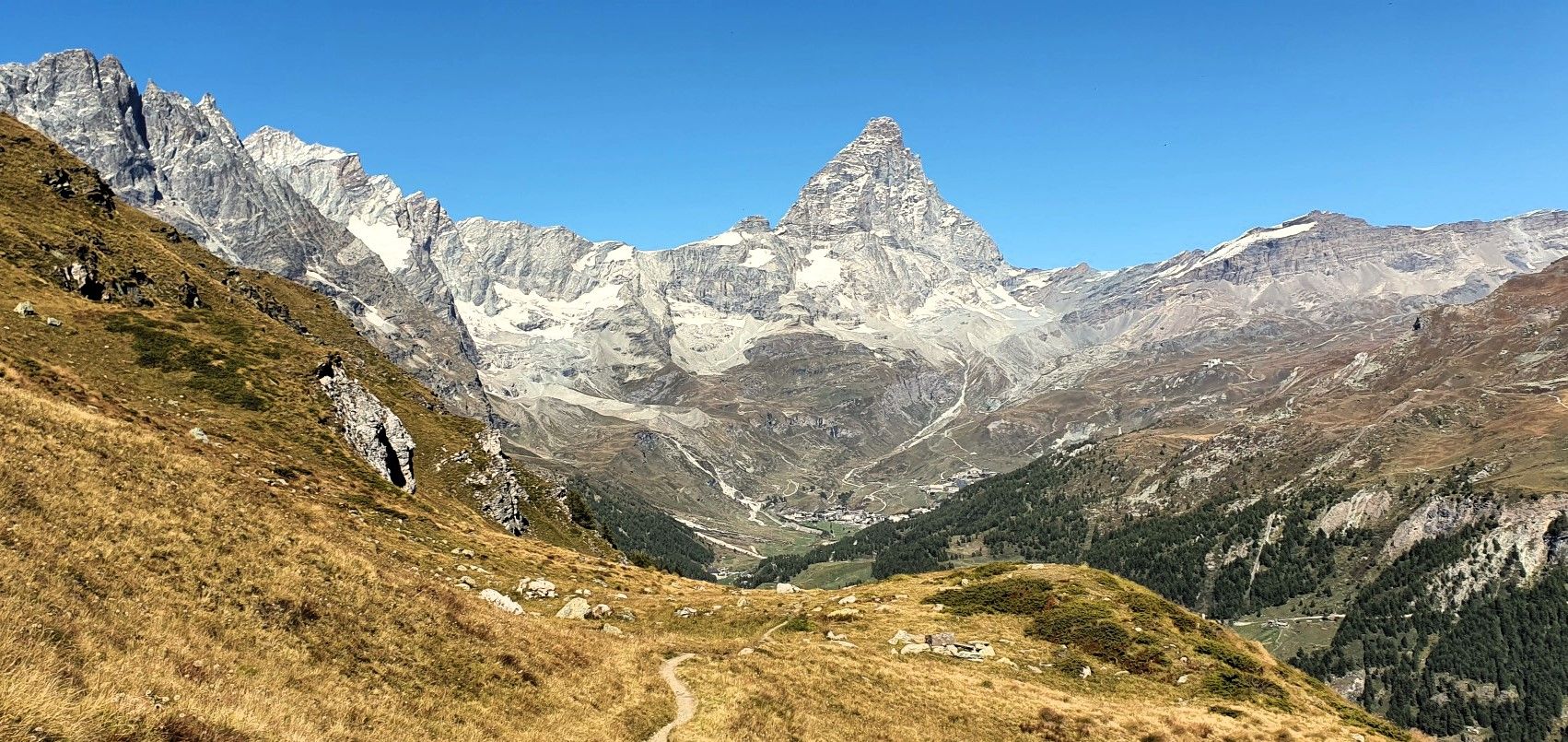
Running with the King – Great Balcony of the Matterhorn
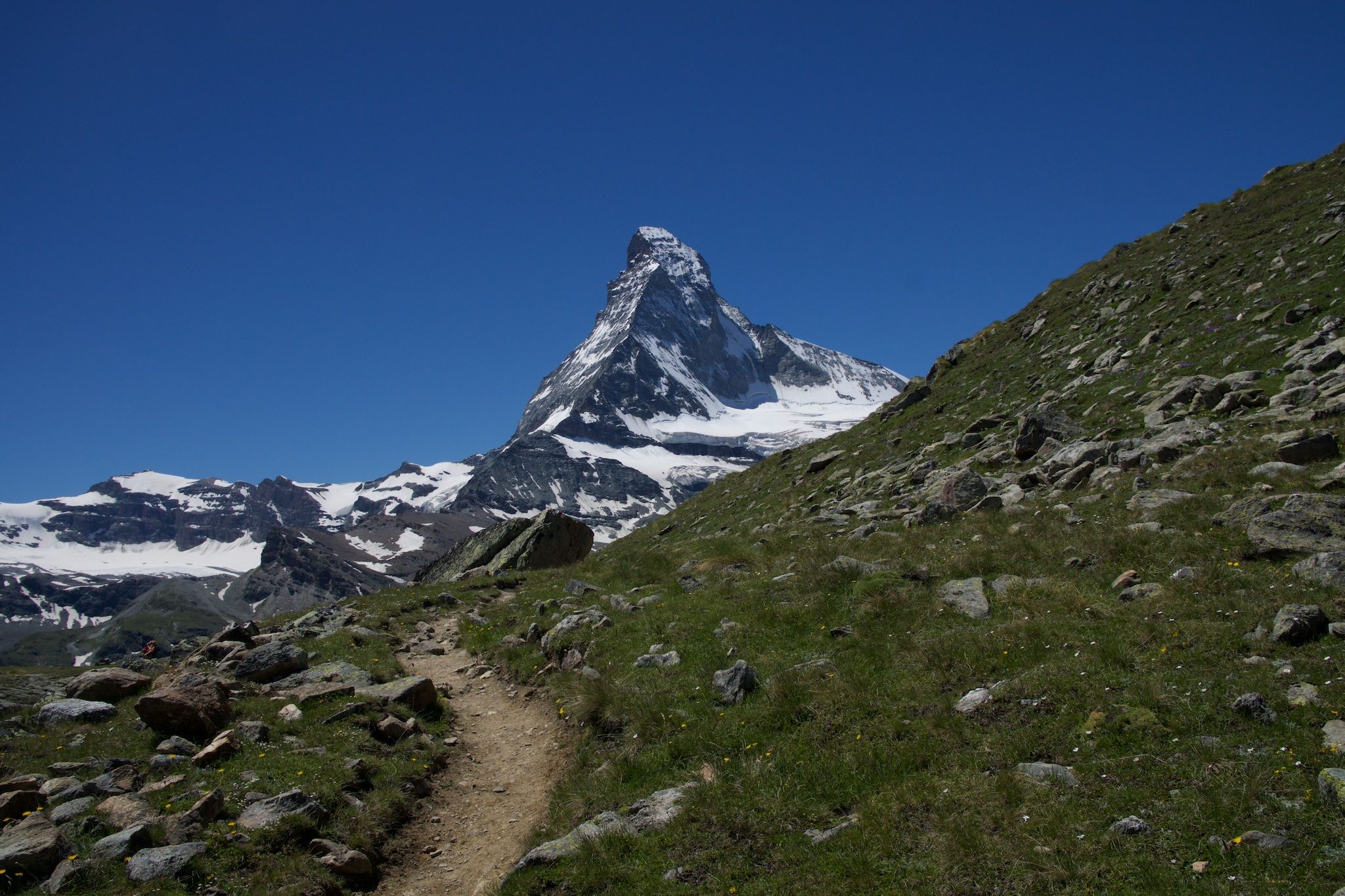
On the noble rock of the Alps – Cervino Matterhorn Ultra Race
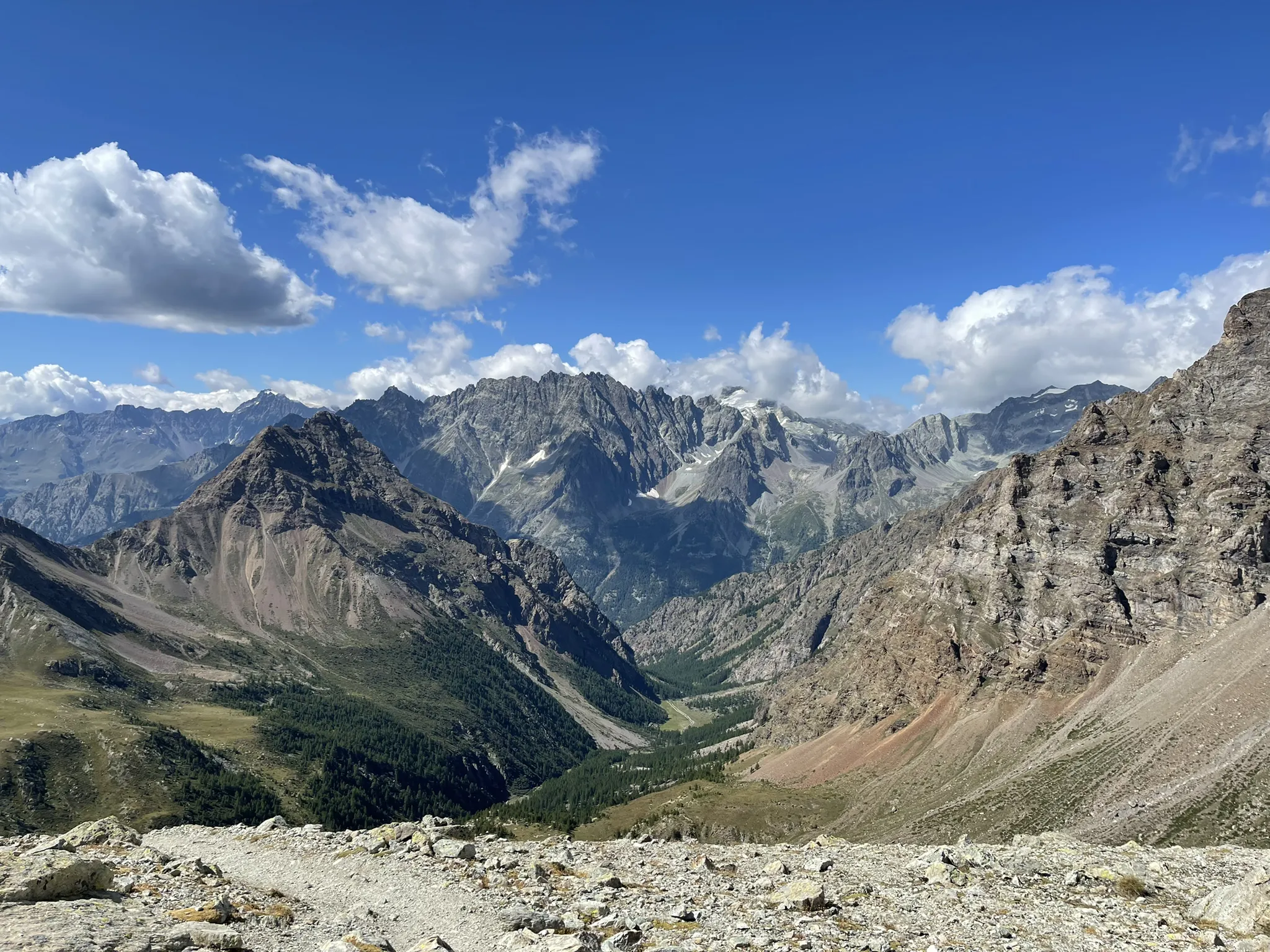
Running between the giants of the Alps – Tor des Géants

Alta Via n. 1 of the Aosta Valley — a walk among Italian giants
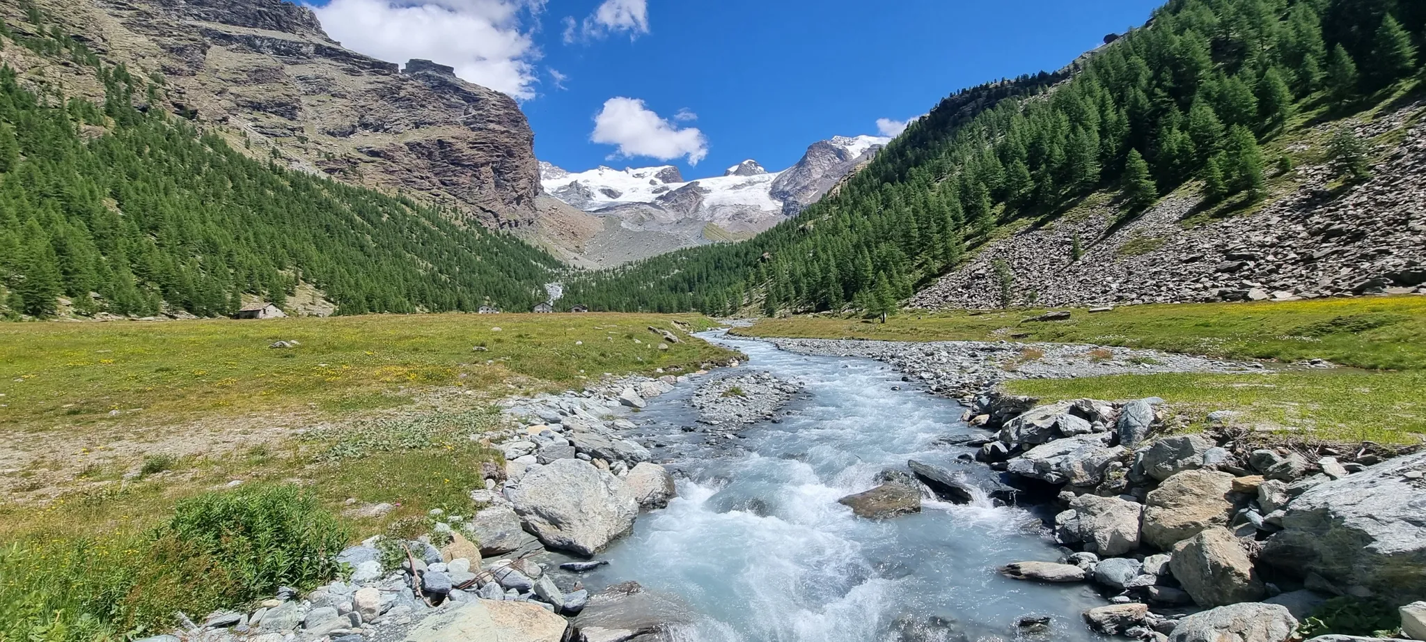
Majestic peaks and wild nature – Champoluc to Cervinia loop
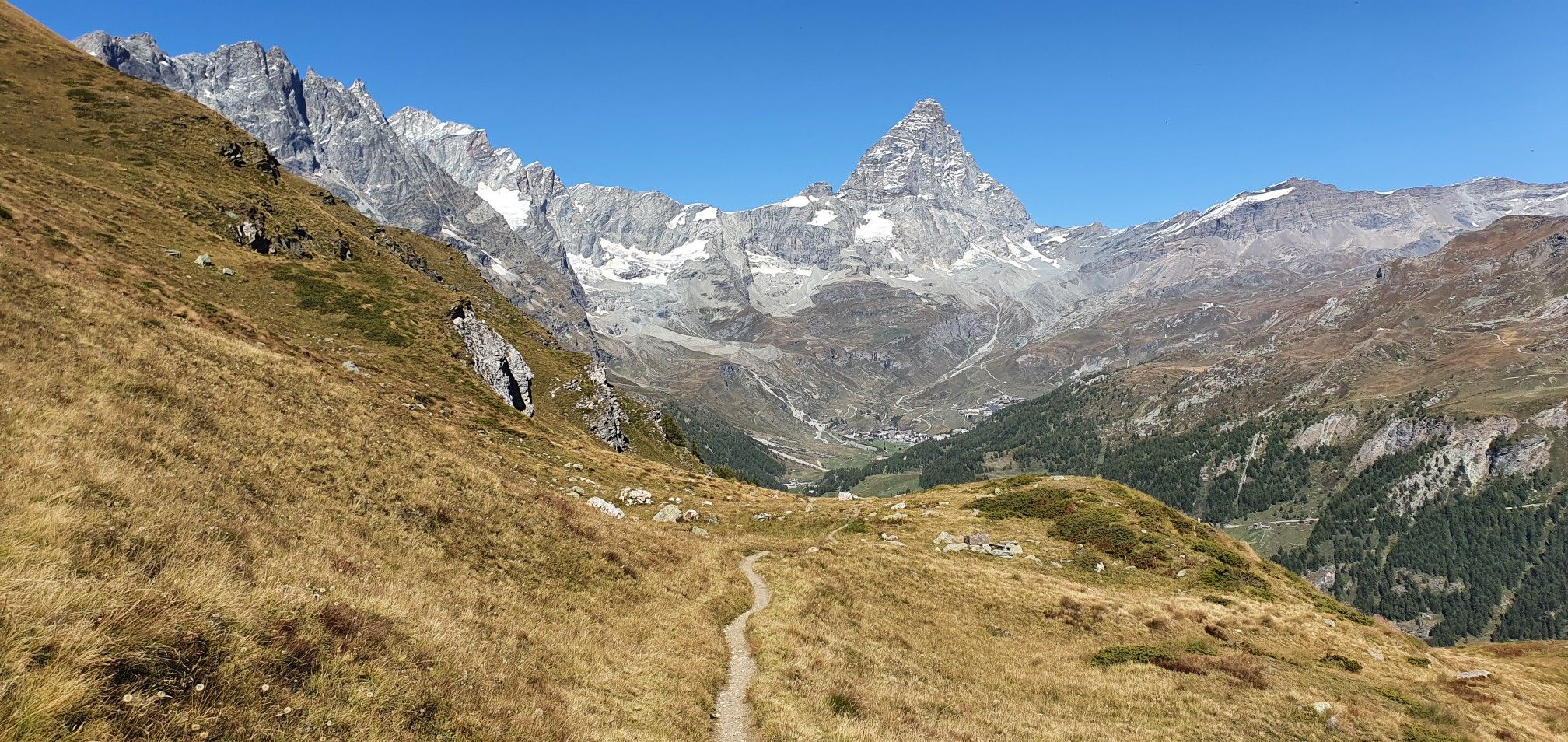
A breath away from the king — Grand Balcony of the Matterhorn

A walk among Italian giants — Aosta Valley High Route 1
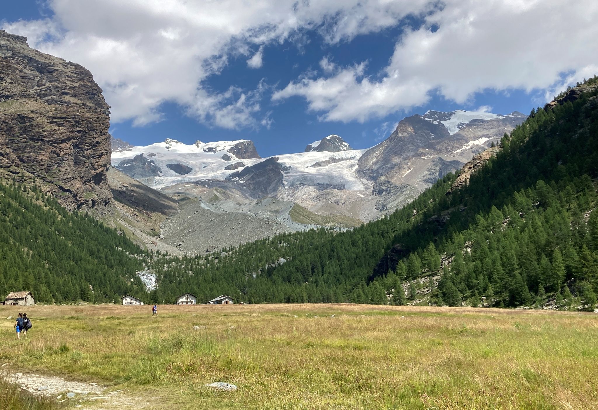
Tour of Monte Rosa – a trek among the Giants between Italy and Switzerland
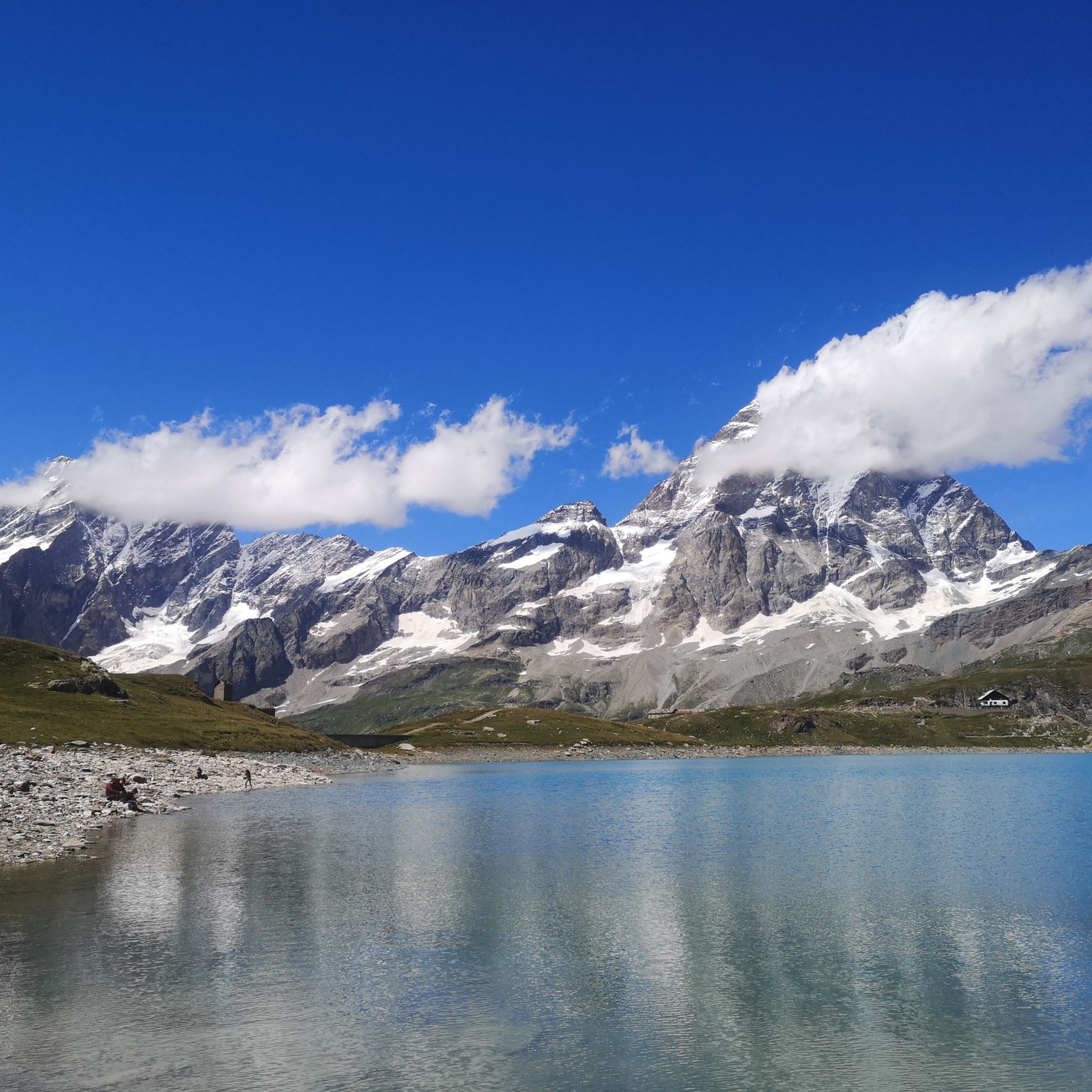
Hiking around Valtournenche
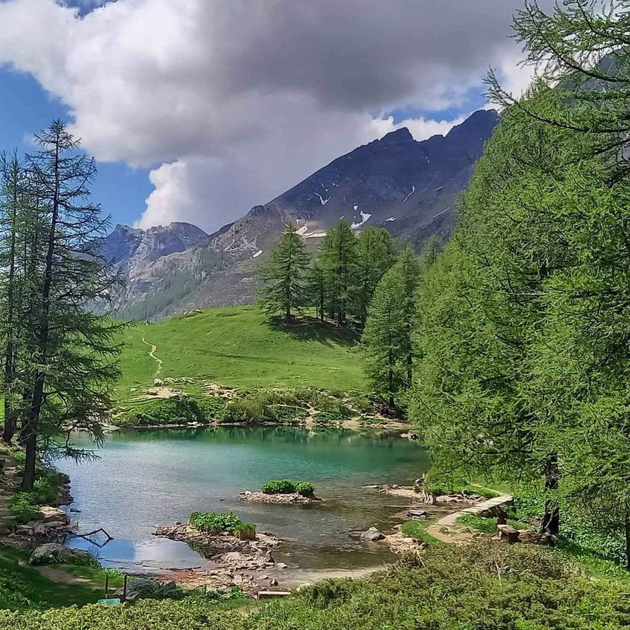
MTB Trails around Valtournenche


Tips from the Community

The village itself is not particularly characteristic but is undoubtedly set in a privileged natural environment. Look around to feel embraced by the valley
0
0

The presence of the dam, majestic and well integrated into the landscape, adds a touch of engineering charm to this corner of uncontaminated nature. Lake Cignana is an Alpine body of water that enchants with its crystalline beauty, nestled between the mountains of Valtournenche. Surrounded by imposing peaks and green meadows, the lake offers an atmosphere of peace and serenity, perfect for a regenerating break during excursions.
1
0
The Cignana Lake Dam stands majestically at over 2,100 meters above sea level, creating a suggestive body of water framed by the mountains of Valtournenche. This impressive engineering work not only regulates the course of the water, but enriches the Alpine landscape with its austere charm. Reachable via a pleasant path, the lake and the dam offer an ideal destination for those seeking a walk among nature, history and spectacular views.
1
0
Falegnon is a mountain pasture located at 1,914 meters above sea level in Valtournenche. This small mountain village, once a lively center of pastoral activity, today features a combination of abandoned and renovated huts, immersed in a panoramic landscape characterized by large green meadows. Falegnon is an ideal crossing point for excursions to Lake Cignana or the Jean Barmasse Refuge, offering an authentic experience of traditional Alpine life.
1
0

a great scenery when you come around the bend
0
0
Finding a locomotive with a railway line up there is something special 😄
0
0

Traveling along this wide and welcoming dirt road you can admire the Matterhorn from very close. The mountain has been the scene of legendary adventures, including the solo ascent of Walter Bonatti, from the north face, with which he said goodbye to extreme mountaineering. The view is truly enchanting and able to give unique emotions.
1
0

Frequently Asked Questions
How many running routes are available in Valtournenche?
Valtournenche offers a wide selection of running routes, with over 80 trails available for exploration. While the majority are challenging, there are a few moderate and easy options to suit different fitness levels.
Are there any easy jogging routes in Valtournenche suitable for beginners?
While Valtournenche is known for its challenging alpine terrain, there is at least one designated easy running route. For those new to high-altitude running, it's advisable to start with shorter distances and less elevation gain to acclimatize.
What is the best time of year for jogging in Valtournenche?
The prime season for jogging in Valtournenche is typically from late spring through early autumn (June to September) when trails are clear of snow and weather conditions are most favorable. During winter, many high-altitude trails become inaccessible or require specialized gear due to snow and ice.
Are there any circular running routes in Valtournenche?
Yes, Valtournenche features several circular running routes. An example is the Lago di Cignana loop from Valtournenche, which offers a scenic 4.6-mile (7.4 km) run with significant elevation changes, providing a rewarding experience through alpine landscapes.
What kind of views can I expect on the running trails around Valtournenche?
Jogging routes in Valtournenche are renowned for their panoramic mountain views, often featuring vistas of distant peaks and landscapes shaped by glacial activity. You'll experience high-altitude alpine scenery, rocky paths, and open valleys.
Are there any notable natural attractions or landmarks along the running routes?
Yes, the region around Valtournenche is rich in natural beauty. You can find stunning waterfalls like the Porteiller Stream Waterfall or the Mascognaz Waterfall. The area also features impressive gorges and valleys, such as the Gorner Gorge and the Saint-Barthélemy Valley, offering diverse sights during your run.
What do other runners enjoy most about jogging in Valtournenche?
The running routes in Valtournenche are highly rated by the komoot community, with an average score of 4.2 stars. Runners frequently praise the challenging ascents, the breathtaking high-altitude trails, and the unparalleled alpine scenery that defines the region.
Are there any longer, more challenging running routes for experienced runners?
Absolutely. For experienced runners seeking a significant challenge, the Theodul Pass – Plan Maison loop from Breuil-Cervinia is an excellent option. This difficult route spans approximately 11 miles (17.8 km) and involves substantial elevation gain, leading through demanding alpine terrain.
Is Valtournenche suitable for trail running with dogs?
Valtournenche's natural environment is generally dog-friendly, but specific trail regulations can vary. It's always recommended to keep dogs on a leash, especially in protected areas or near livestock, and to ensure they are fit enough for the challenging alpine conditions and elevation changes.
What are the typical distances and durations for running routes in Valtournenche?
Running routes in Valtournenche vary significantly in length and duration due to the challenging terrain. You can find routes ranging from around 4.6 miles (7.4 km) like the Lago di Cignana loop, which can take over an hour, to longer, more demanding trails such as the Theodul Pass – Plan Maison loop, which is about 11 miles (17.8 km) and can take several hours to complete.
Most popular routes around Valtournenche
Most popular attractions around Valtournenche

Get inspired with the komoot mobile app


Explore more
Browse the best Running Trails & Routes in other regions.
