The best running trails around Davagna
4.4
(427)
11,429
runners
181
runs
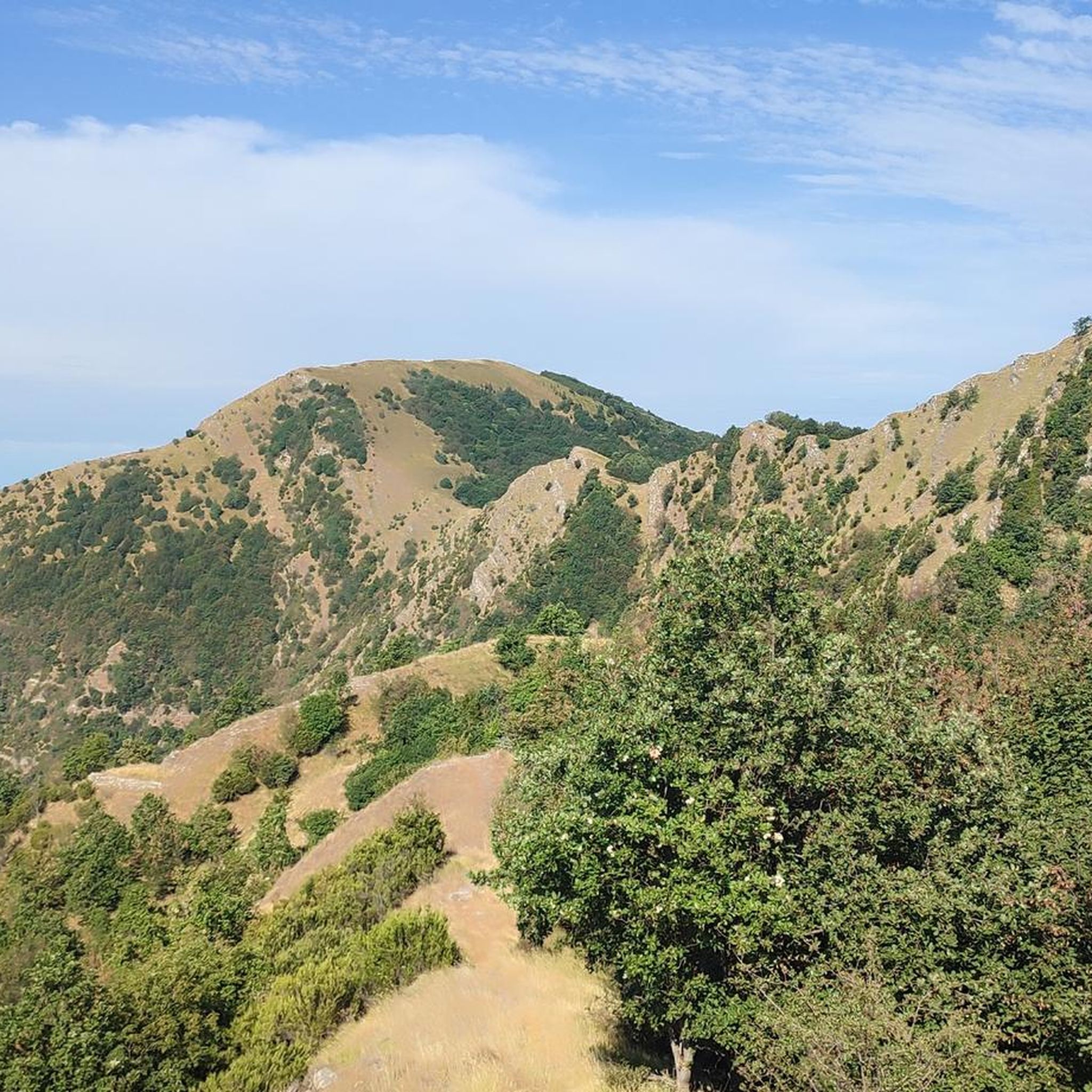
Jogging around Davagna offers diverse landscapes within the Metropolitan City of Genoa, set against the backdrop of the Ligurian Apennines. The region features mountainous terrain with varied elevations, historical trails, and natural features like forests and grasslands. Runners can explore paths that include sections of the ancient Historic Aqueduct of Genoa Trail and segments of the Alta Via dei Monti Liguri. These running routes provide a mix of challenging ascents and more gentle paths through Mediterranean scrub and dense woods.
…Last updated: August 25, 2026
39
runners
10.5km
01:09
180m
180m
Moderate run. Good fitness required. Mostly paved surfaces. Suitable for all skill levels.
38
runners
12.9km
01:24
180m
190m
Moderate run. Good fitness required. Mostly paved surfaces. Suitable for all skill levels.

Sign up for free
26
runners
8.35km
00:55
150m
150m
Moderate run. Good fitness required. Mostly paved surfaces. Suitable for all skill levels.
20
runners
6.48km
00:44
130m
130m
Moderate run. Good fitness required. Mostly paved surfaces. Suitable for all skill levels.
16
runners
6.48km
00:42
120m
120m
Moderate run. Good fitness required. Mostly paved surfaces. Suitable for all skill levels.
Get access to more routes and recommendations from other explorers.
Sign up for free
Already have an account?
Our route recommendations are based on thousands of hikes, rides, and runs completed by other people on komoot.
Start today with a free account
Your next adventure awaits.
Login or Signup
Tips from the Community

May 14, 2025 Crossed today. Unfortunately, the bridge is very dirty and was closed at the end. However, you can get off via a ladder that leads to the road.
1
1

The Rio Torbido Canal Bridge crosses the stream of the same name and is over 100 m long and more than 35 m high. It is part of the seventeenth-century extension of the aqueduct.
0
1
Circular tower built in the early 1800s by the Sardinian Royal Corps of Engineers to improve the defense of Forte Quezzi.
0
0

It is one of the two best-known bridges of the Historic Aqueduct, which crosses the Geirato stream in the Molassana district. The association that manages it guarantees that it is open every second Saturday of the month from 10 to 17, but to be more certain, simply contact the Sertoli Cultural Recreational Club (333 3208182 / 347 0012499).
3
1

Ruins of an old defense tower in the Bisagno valley. From here you have a beautiful view. The ascent by bike from the north is worth seeing.
0
0

The Quezzi tower, as well as the Ratti fort, were built a long time ago as a watchtower to avoid enemy attacks
0
0

Frequently Asked Questions
What types of running routes can I find around Davagna?
Davagna offers a diverse range of running routes, from mostly flat sections along historical paths to challenging mountainous terrains with significant elevation changes. You'll find paths through oak and chestnut forests, Mediterranean scrub, and open grasslands, catering to various fitness levels.
Are there any easy or beginner-friendly running trails in Davagna?
Yes, while many routes are moderate to difficult, there are options suitable for beginners. For example, the Quarto – Monument Area loop from Quarto dei Mille is a moderate 6.4 km path with minimal elevation gain, offering a gentler introduction to running in the area.
What are some notable natural features or landmarks I might encounter on a run?
Runners in Davagna can explore historical structures like the ancient Historic Aqueduct of Genoa Trail, which offers scenic views through forests. You might also pass through significant mountain passes such as Passo della Scoffera, providing panoramic vistas of the Ligurian Apennines. Other highlights include the View of Barbagelata and the Summit of Monte Caucaso.
Are there any circular running routes available in Davagna?
Yes, many of the running paths around Davagna are designed as loops. For instance, the Monument to the Thousand of Quarto – Priaruggia Beach loop from Quarto dei Mille is a popular 10.5 km circular route that combines coastal scenery with historical landmarks.
Can I bring my dog on the running trails in Davagna?
Many trails in the Davagna area are dog-friendly, especially those through natural parks and less populated areas. It's always recommended to keep your dog on a leash, especially in protected areas or near wildlife, and to check specific trail regulations if available.
What is the best time of year to go running in Davagna?
The spring and autumn months generally offer the most pleasant conditions for running in Davagna, with milder temperatures and vibrant natural scenery. Summer can be warm, especially at lower elevations, while winter runs might require appropriate gear for higher, potentially snowy, mountain paths.
How challenging are the running routes in Davagna?
The routes vary significantly in difficulty. While there are a few easy options, the majority of the 159 routes are classified as moderate (62 routes) or difficult (93 routes), often featuring considerable elevation gain due to the mountainous Ligurian Apennines terrain. For example, the From Torriglia to Monte Antola route involves over 900 meters of elevation gain.
Are there any running routes suitable for families with children?
For families, look for routes with lower difficulty ratings and less elevation gain. The Historic Aqueduct of Genoa Trail, accessible from areas like Cavassolo, offers mostly flat sections that are suitable for a leisurely run or walk with children, allowing them to enjoy the historical and natural surroundings.
Where can I find parking for the running trails in Davagna?
Parking availability varies by trailhead. For routes starting in or near towns like Torriglia or Quarto dei Mille, you can often find public parking areas. For more remote trails, it's advisable to check specific route details on komoot for recommended starting points and parking information.
What do other runners say about the trails in Davagna?
The running routes in Davagna are highly regarded by the komoot community, boasting an average rating of 4.5 stars from over 290 reviews. Runners frequently praise the diverse landscapes, the historical significance of paths like the Aqueduct Trail, and the rewarding views from the mountainous sections.
Can I access these running routes using public transport?
Access to some trailheads, particularly those closer to Genoa or larger towns like Torriglia, may be possible via local bus services. However, many routes in the more remote Ligurian Apennines might require private transport. It's best to research specific public transport options for your chosen starting point.
Are there any coastal running options near Davagna?
While Davagna itself is inland in the Apennines, nearby coastal areas offer excellent running opportunities. The Quezzi Tower – Fort Ratti loop from Cimitero Monumentale di Staglieno, for example, provides a mix of urban and historical coastal views, offering a different running experience from the mountain trails.
Most popular attractions around Davagna

Get inspired with the komoot mobile app


Explore more
Browse the best Running Trails & Routes in other regions.
