The best walks and hikes around Carro
4.5
(2603)
10,734
hikers
10
hikes
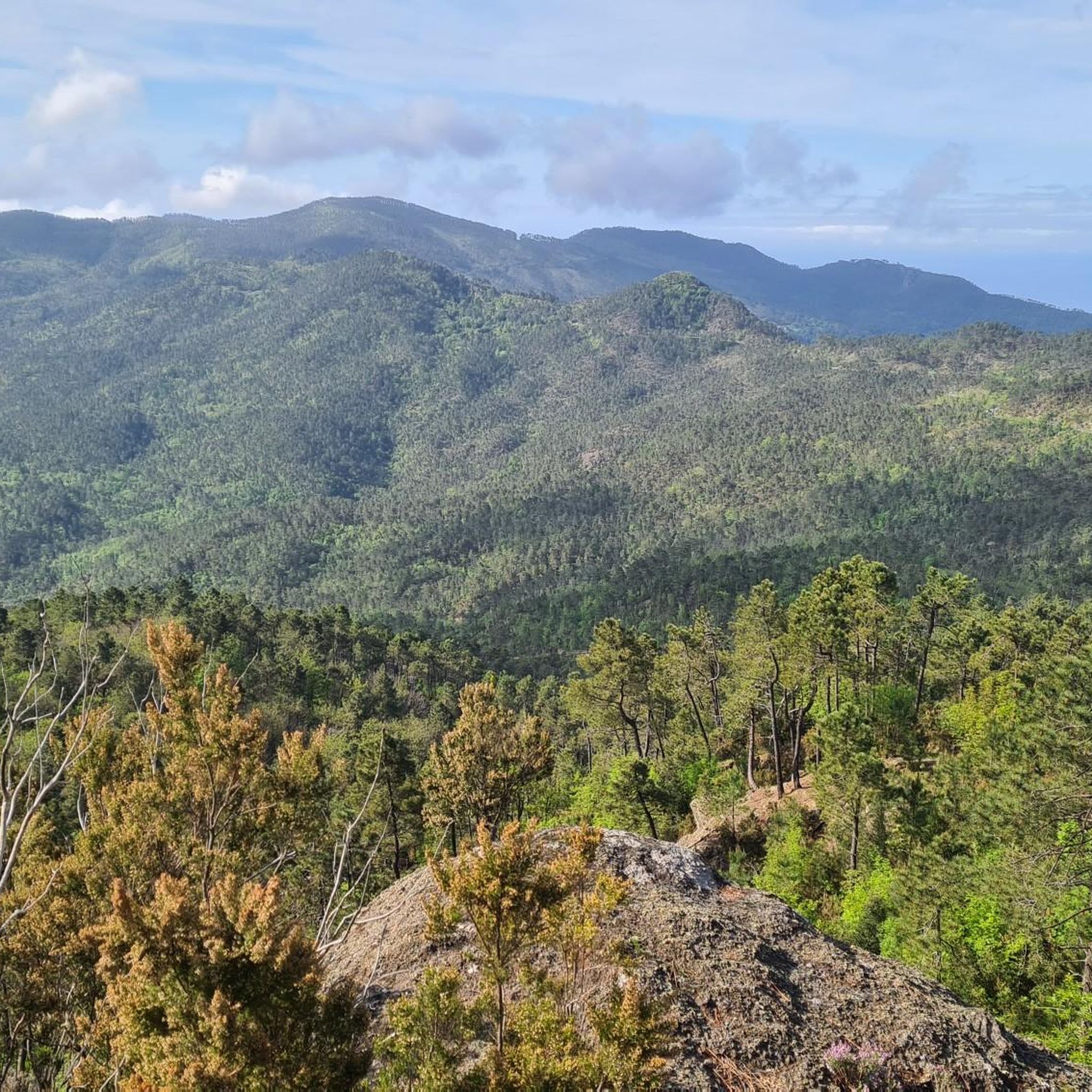
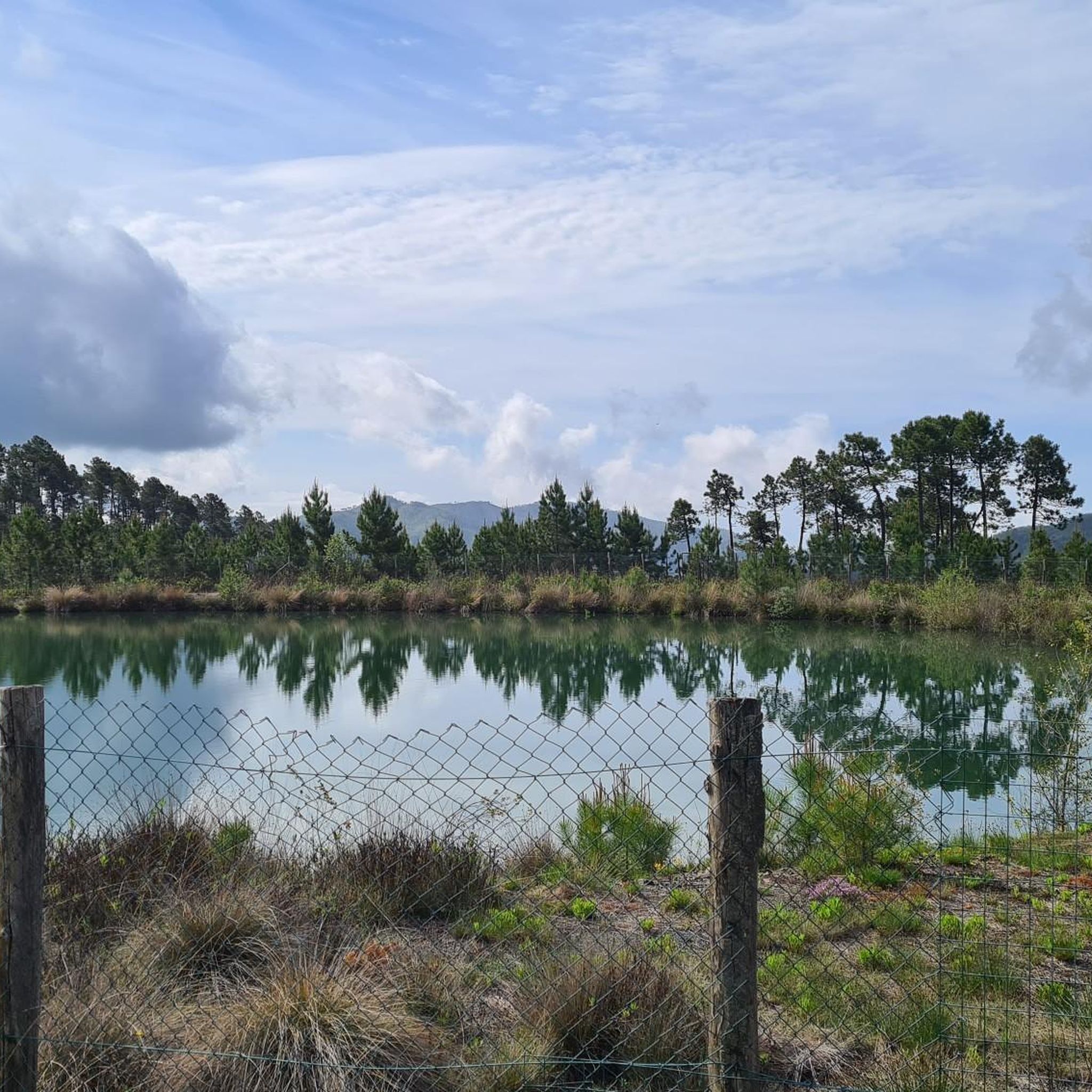
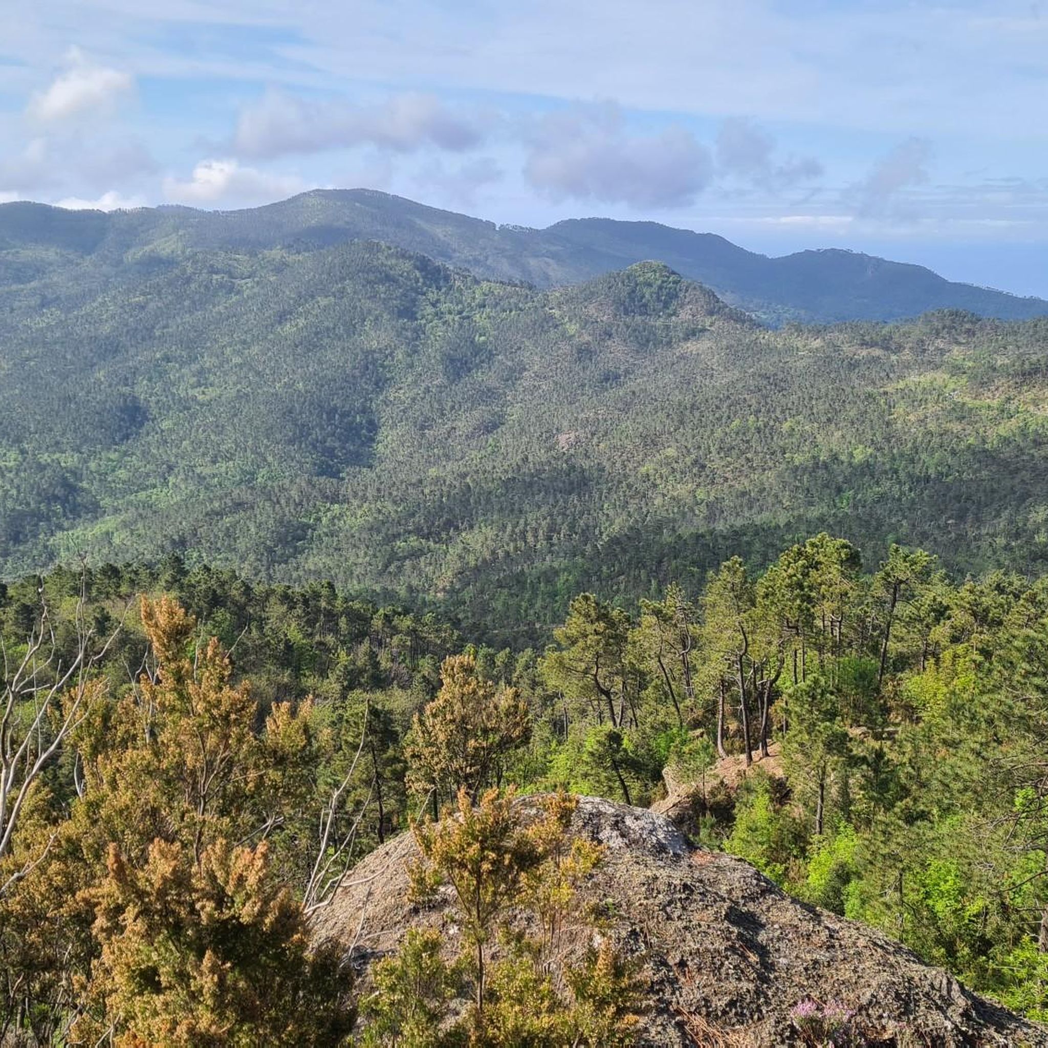
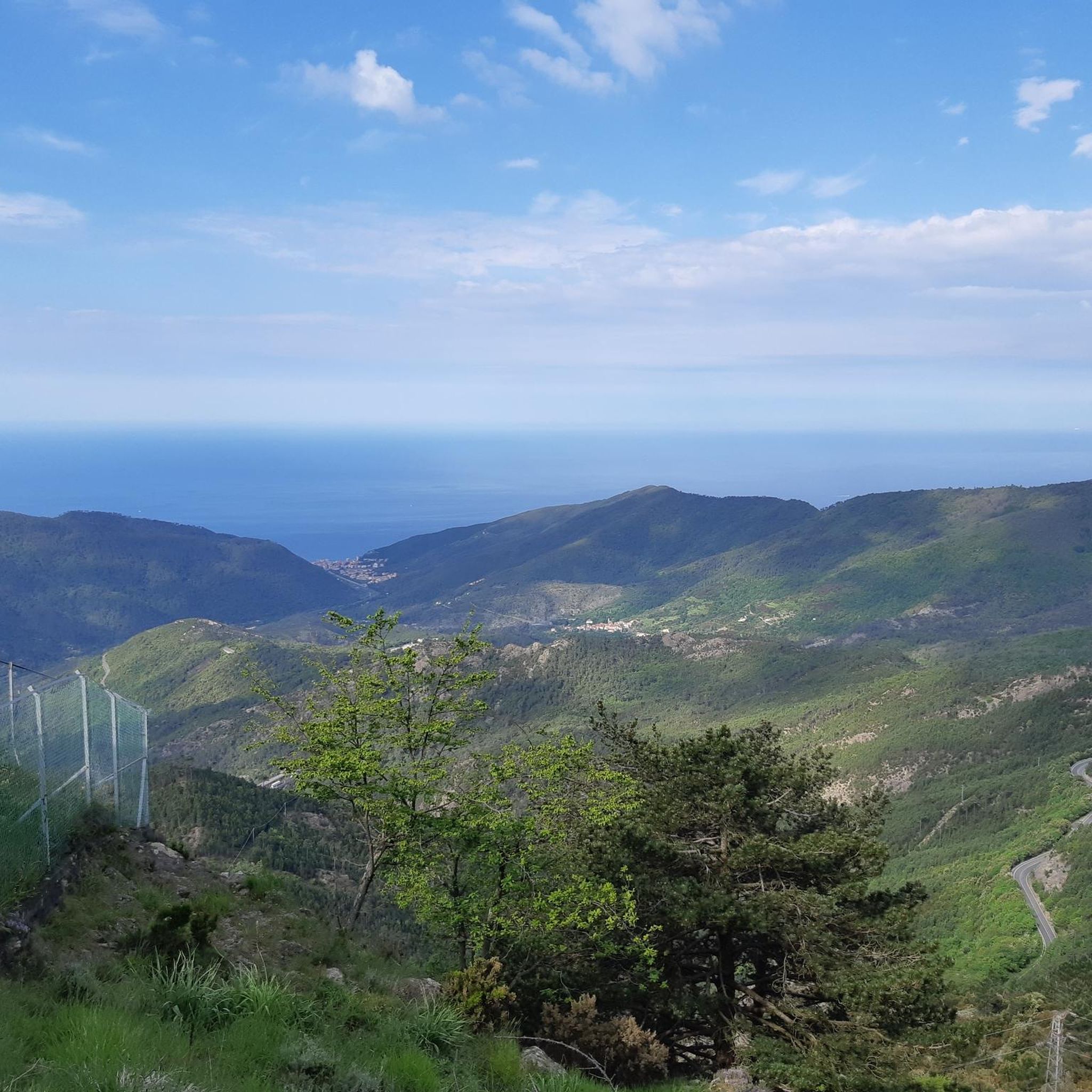
Hiking around Carro offers routes through varied terrain, characterized by hilly landscapes and valleys. The region features trails that traverse forested areas and lead to natural points of interest, including water features. Hikers can expect a mix of ascents and descents, providing diverse experiences within the local environment.
Best hiking trails around Carro
- The most popular hiking route is Pavareto – La Mola – Sella Monte Stronzi Trail, a 7.4 miles (11.9 km) trail that takes 4 hours 6…
Last updated: July 7, 2026
5.0
(2)
5
hikers
11.9km
04:06
440m
440m
Moderate hike. Good fitness required. Mostly accessible paths. Sure-footedness required.
2
hikers
9.78km
02:53
290m
290m
Moderate hike. Good fitness required. Easily-accessible paths. Suitable for all skill levels.

Sign up for free
1
hikers
14.6km
04:45
670m
670m
Moderate hike. Good fitness required. Mostly accessible paths. Sure-footedness required.
9.44km
03:15
530m
530m
Moderate hike. Good fitness required. Easily-accessible paths. Suitable for all skill levels.
12.4km
03:40
360m
360m
Moderate hike. Good fitness required. Mostly accessible paths. Sure-footedness required.
Get access to more routes and recommendations from other explorers.
Sign up for free
Already have an account?
Our route recommendations are based on thousands of hikes, rides, and runs completed by other people on komoot.
Start today with a free account
Your next adventure awaits.
Login or Signup
Frequently Asked Questions
What kind of terrain can I expect when hiking around Carro?
Hiking around Carro features diverse terrain, primarily characterized by hilly landscapes and valleys. You'll find trails traversing forested areas and experiencing a mix of ascents and descents, offering varied experiences within the local environment.
Are there any trails with waterfalls near Carro?
Yes, one notable route is the Pavareto to Colle Gruzze Waterfall Trail. This moderate 6.1-mile (9.8 km) path leads directly to a scenic waterfall, providing a beautiful natural highlight.
How long do hikes around Carro typically take?
The duration of hikes in Carro varies depending on the route and your pace. For example, the Pavareto – La Mola – Sella Monte Stronzi Trail, which is 7.4 miles (11.9 km), typically takes around 4 hours and 6 minutes. Longer routes like the Carro - Valdiamaro - Piano Craviola Trail (9.1 miles / 14.6 km) can take about 4 hours and 44 minutes.
What are the difficulty levels of hiking trails in Carro?
The hiking network in Carro offers routes ranging from moderate to difficult ability levels. There are no easy routes listed, with the majority being moderate and a few challenging options available for experienced hikers.
What do other hikers say about the trails in Carro?
The routes in Carro are highly rated by the komoot community, with an average score of 4.5 stars from over 2,400 reviews. Hikers often praise the varied local landscapes, forested sections, and the engaging mix of ascents and descents.
Are there any interesting landmarks or natural features to see near the hiking trails?
Yes, beyond the trails themselves, you can explore several natural attractions. For instance, you might visit the La Francesca Cliffs and Dog Beach, or enjoy panoramic views from the Colle del Lago Panoramic Picnic Area. The Monte Gottero Summit also offers a significant natural landmark.
Are there any circular hiking routes available in Carro?
Many of the trails in Carro are designed as circular routes, allowing you to start and finish at the same point. For example, the Pavareto – La Mola – Sella Monte Stronzi Trail is a popular circular option.
Can I find trails that lead to viewpoints or scenic overlooks?
Yes, the hilly terrain of Carro naturally provides many opportunities for scenic views. Routes like the Pavareto – La Mola – Sella Monte Stronzi Trail offer views of the surrounding hills, and the Colle del Lago Panoramic Picnic Area is a dedicated viewpoint nearby.
What is the best time of year to go hiking in Carro?
While specific seasonal details are not provided, the region's hilly and forested nature suggests that spring and autumn would offer pleasant temperatures and vibrant scenery. Summer can also be suitable, though some routes might be more exposed to the sun.
Are there any trails suitable for families with children?
The guide primarily lists moderate to difficult trails, which may be challenging for very young children. However, families with older, experienced children might enjoy some of the moderate routes. Always check the distance and elevation gain for suitability.
Are dogs allowed on the hiking trails in Carro?
While specific regulations for dogs on trails are not detailed, many natural areas in Italy are dog-friendly, especially on leash. It's always advisable to check local signage or park regulations upon arrival. The nearby La Francesca Cliffs and Dog Beach indicates dog-friendly areas exist in the vicinity.
How many hiking routes are available in the Carro area?
There are 10 distinct hiking routes available in the Carro area, offering a variety of experiences through its hilly landscapes and forested sections.
Most popular attractions around Carro

Get inspired with the komoot mobile app


Explore more
Browse the best Hikes in other regions.
