The best running trails around Carasco
4.5
(85)
5,535
runners
199
runs
Jogging around Carasco, located in Italy's Liguria region, offers a diverse landscape for runners. The area is situated within the Val Fontanabuona, characterized by the confluence of the Sturla and Graveglia valleys, providing riverine environments with flatter sections. Surrounding hills and the Ligurian Apennines offer more challenging routes with elevation. This combination ensures a range of running experiences from gentle riverside paths to more demanding ascents.
Best jogging routes around Carasco
- The most popular jogging route is Entella River loop…
Last updated: June 29, 2026
4.7
(7)
214
runners
10.8km
01:11
50m
50m
Moderate run. Good fitness required. Mostly paved surfaces. Suitable for all skill levels.
66
runners
21.3km
02:16
90m
90m
Hard run. Very good fitness required. Mostly paved surfaces. Suitable for all skill levels.

Sign up for free
14
runners
12.0km
01:59
700m
700m
Hard run. Very good fitness required. Sure-footedness, sturdy shoes and alpine experience required.
5
runners
7.83km
00:50
80m
80m
Moderate run. Good fitness required. Mostly paved surfaces. Suitable for all skill levels.
6
runners
25.4km
04:44
1,430m
1,430m
Hard run. Very good fitness required. Sure-footedness, sturdy shoes and alpine experience required.
Get access to more routes and recommendations from other explorers.
Sign up for free
Already have an account?
Our route recommendations are based on thousands of hikes, rides, and runs completed by other people on komoot.
Start today with a free account
Your next adventure awaits.
Login or Signup

Tips from the Community

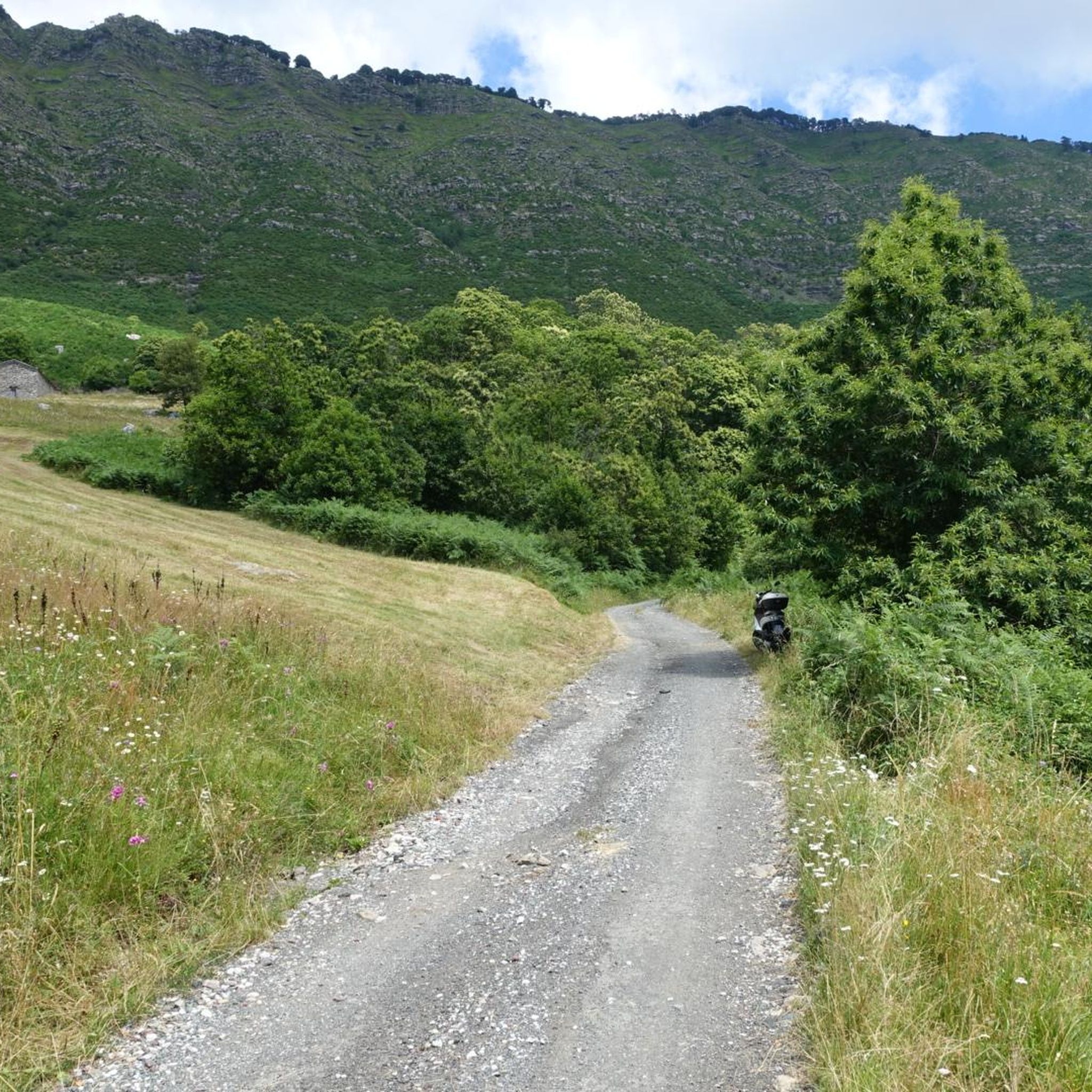
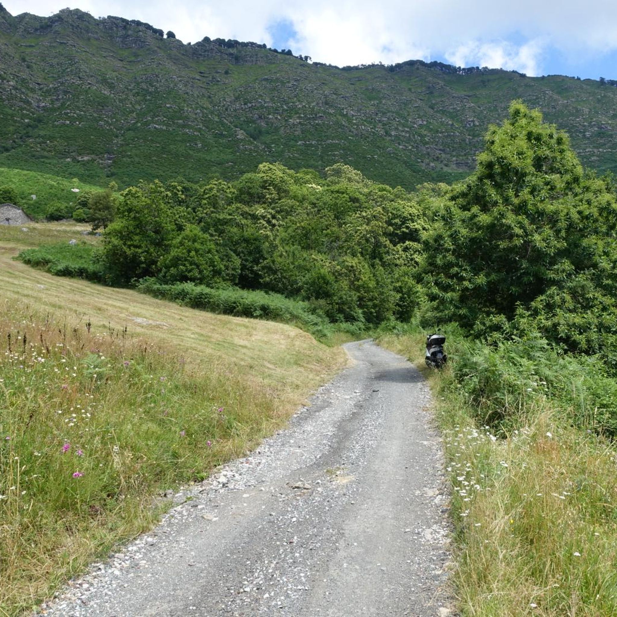
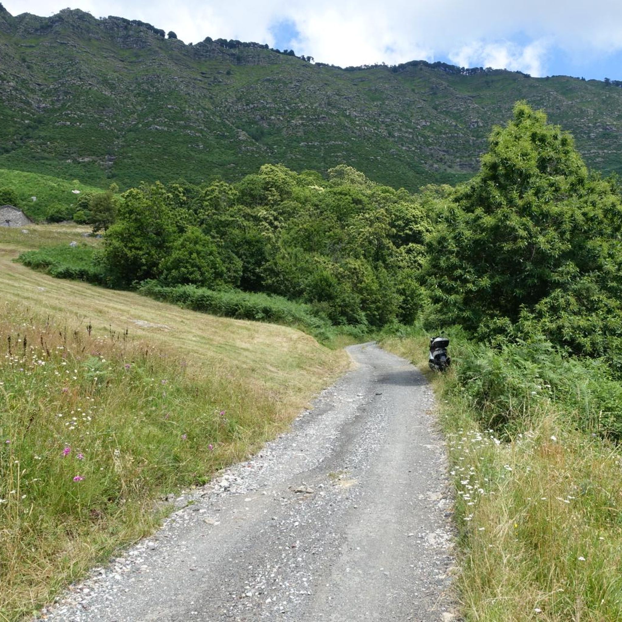
Above the municipality of Cogorno, in the metropolitan city of Genoa, walking on the ridge of Mount Le Rocchette is certainly one of the best experiences that those who walk in these areas can have. In ancient times, slate, a metamorphic rock of sedimentary origin, was extracted in these areas.
1
1


Climbing Monte San Giacomo, despite being only 530 m above sea level and a few km of climb, is never trivial from any of the three sides. One for the other they have slopes of up to 15% and decidedly narrow streets, in particular the one from Via Renda. Furthermore, the one from Tolceto has a decidedly bad surface. The descents are more difficult than the climbs: it is easy to find damp and treacherous curves and cars in narrow passages!
0
0

To follow if you want to get to the sea
0
0

The Entella river is a watercourse that originates from the Sturla, Graveglia and Lavagna streams at the height of Carasco. The river bed divides the municipality of Chiavari from that of Lavagna. Along its banks you can see gulls, geese, ducks, swans, mallards, coots and many other species of sedentary or passing birds. For this reason, since 1988 the Entella River has been a protected Oasis by the Province of Genoa and has become part of the Natura 2000 Network of the European Union.
0
0
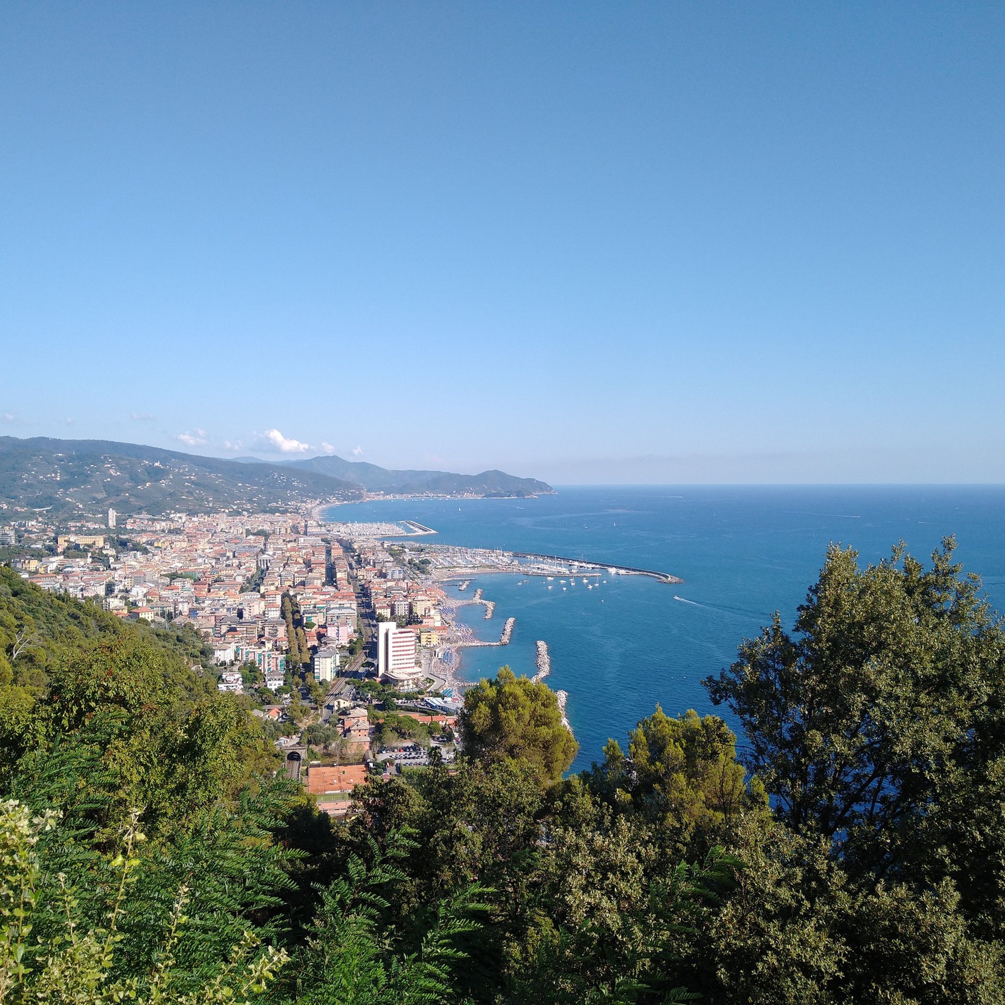
The Chapel of San Giacomo is a Catholic place of worship built on the homonymous mountain at a height of 538 meters above sea level. Here starts the path that leads to the top of Monte Capenardo along which you can enjoy a broad view of the Gulf of Tigullio.
0
0

Going up from Croce di Orero, follow the signs for Ramaceto. At the top there is a small chapel and a breathtaking view
0
0
Trail of the Alta Via dei Monti Liguri that leads to the summit of Monte Ramaceto on the ridge. A real watershed from where you can admire the sea (from Sestri Levante to Portofino) on one side and the Val d'Aveto on the other
0
0
Frequently Asked Questions
How many running routes are available around Carasco?
Carasco offers a wide variety of running experiences with over 180 routes. These include a good mix of easy, moderate, and challenging trails to suit different fitness levels and preferences.
What kind of terrain can I expect on jogging trails in Carasco?
The region around Carasco provides diverse terrain for runners. You'll find flat, easy-paced paths along the river valleys, such as those following the Entella, Sturla, and Graveglia torrents. For those seeking more challenge, the surrounding Ligurian Apennines and the Val Fontanabuona offer hilly and mountainous trails with significant elevation gains.
Are there any easy or beginner-friendly jogging routes in Carasco?
Yes, Carasco has several easy routes perfect for beginners or a relaxed run. A great option is the Entella River loop from Carasco, which is an easy 2.6-mile (4.2 km) trail following the scenic river with a gentle gradient.
Where can I find more challenging running routes near Carasco?
For a more demanding run, the hilly terrain around Carasco offers excellent options. Consider the Church of Maxena loop from Crocetta, an 8.9-mile (14.4 km) trail with significant elevation, or the Chapel of St. James loop from Lavagna, a challenging 4.5-mile (7.3 km) route with over 500 meters of ascent.
Are there any circular jogging routes in the Carasco area?
Yes, many routes around Carasco are designed as loops, allowing you to start and finish in the same location. For example, the Entella River loop from Carasco is a popular easy circular route, and the Chiavari Old Town and Arcades – Colonia Fara, Chiavari loop from Carasco offers a moderate circular experience combining urban and coastal views.
What are some scenic viewpoints or landmarks I can see while running in Carasco?
The region offers beautiful scenery. While running, you might encounter historical sites like the Ruins of the Church of Sant'Anna, which can offer views of Sestri Levante and the Gulf of Tigullio. The nearby Aveto Regional Natural Park also features stunning natural elements like lush forests and glacial lakes, providing breathtaking panoramic views on many trails.
Are there any family-friendly running paths suitable for all ages in Carasco?
Yes, the flatter sections along the river valleys are generally suitable for families. The Entella River loop from Carasco is an easy route with a gentle gradient, making it a good choice for families looking for a pleasant outdoor activity.
What do other runners enjoy most about jogging in Carasco?
The running routes in Carasco are highly rated by the komoot community, with an average score of 4.3 stars from over 80 reviews. Runners often praise the diverse landscape, which offers everything from serene riverside paths to challenging hilly ascents, and the beautiful natural surroundings of the Ligurian region.
Are there any running routes that pass by lakes or natural monuments?
While jogging directly through the Aveto Regional Natural Park, you might encounter natural features like glacial lakes such as Lame Lake and Giacopiane Lake. Additionally, the region has natural monuments like the Megalithic Face of Borzonasca, which could be points of interest on longer runs or nearby explorations.
What is the best time of year for jogging in Carasco?
Carasco, being in the Liguria region, generally enjoys a mild Mediterranean climate. Spring and autumn typically offer the most pleasant temperatures for jogging, avoiding the heat of summer and the cooler, potentially wetter days of winter. However, the diverse terrain means you can find suitable routes year-round, with riverside paths being more accessible in various conditions.
Are there any routes that combine urban exploration with natural scenery?
Yes, some routes offer a blend of urban and natural environments. The Chiavari Old Town and Arcades – Colonia Fara, Chiavari loop from Carasco is a moderate route that allows you to explore Chiavari's old town and coastal views before returning to the natural landscapes around Carasco.
Most popular attractions around Carasco

Get inspired with the komoot mobile app


Explore more
Browse the best Running Trails & Routes in other regions.
