The best walks and hikes around Angrogna
4.3
(577)
3,421
hikers
61
hikes
Hiking around Angrogna, nestled in the Cottian Alps within the metropolitan city of Turin, Italy, offers diverse landscapes for outdoor activities. The region is characterized by expansive forests, alpine pastures, and prominent mountain peaks such as Punta Freidour and Mount Vandalino. Trails often provide scenic valley views and traverse varied terrain, including notable rock faces.
Best hiking trails around Angrogna
- The most popular hiking route is Angrogna Valley Trail to Colletto Souiran (via Route 150A), a 5.1 miles (8.2…
Last updated: June 23, 2026
4.7
(31)
126
hikers
8.16km
03:01
400m
400m
Moderate hike. Good fitness required. Mostly accessible paths. Sure-footedness required.
4.8
(13)
71
hikers
16.9km
08:11
1,420m
1,420m
Hard hike. Very good fitness required. Mostly accessible paths. Sure-footedness required.

Sign up for free
5.0
(4)
25
hikers
13.9km
05:00
730m
730m
Hard hike. Very good fitness required. Mostly accessible paths. Sure-footedness required.
4.1
(7)
41
hikers
7.20km
03:09
510m
510m
Hard hike. Good fitness required. Sure-footedness, sturdy shoes and alpine experience required.
4.0
(2)
17
hikers
8.84km
03:15
560m
570m
Moderate hike. Good fitness required. Easily-accessible paths. Suitable for all skill levels.
Get access to more routes and recommendations from other explorers.
Sign up for free
Already have an account?
Our route recommendations are based on thousands of hikes, rides, and runs completed by other people on komoot.
Start today with a free account
Your next adventure awaits.
Login or Signup
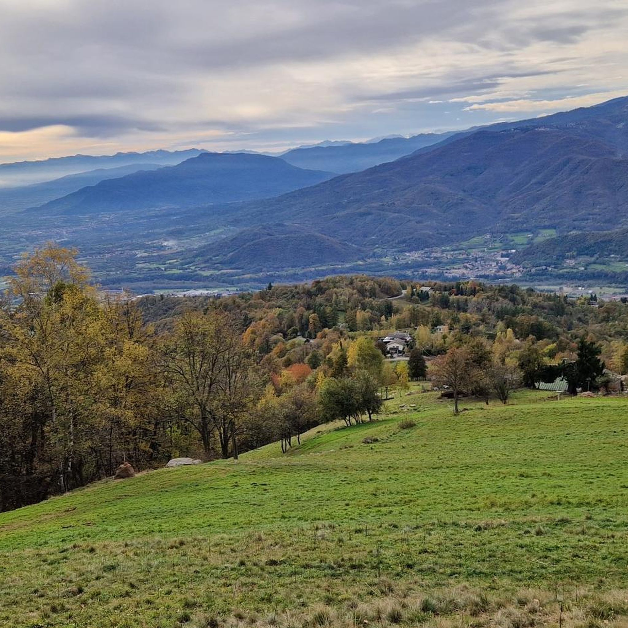
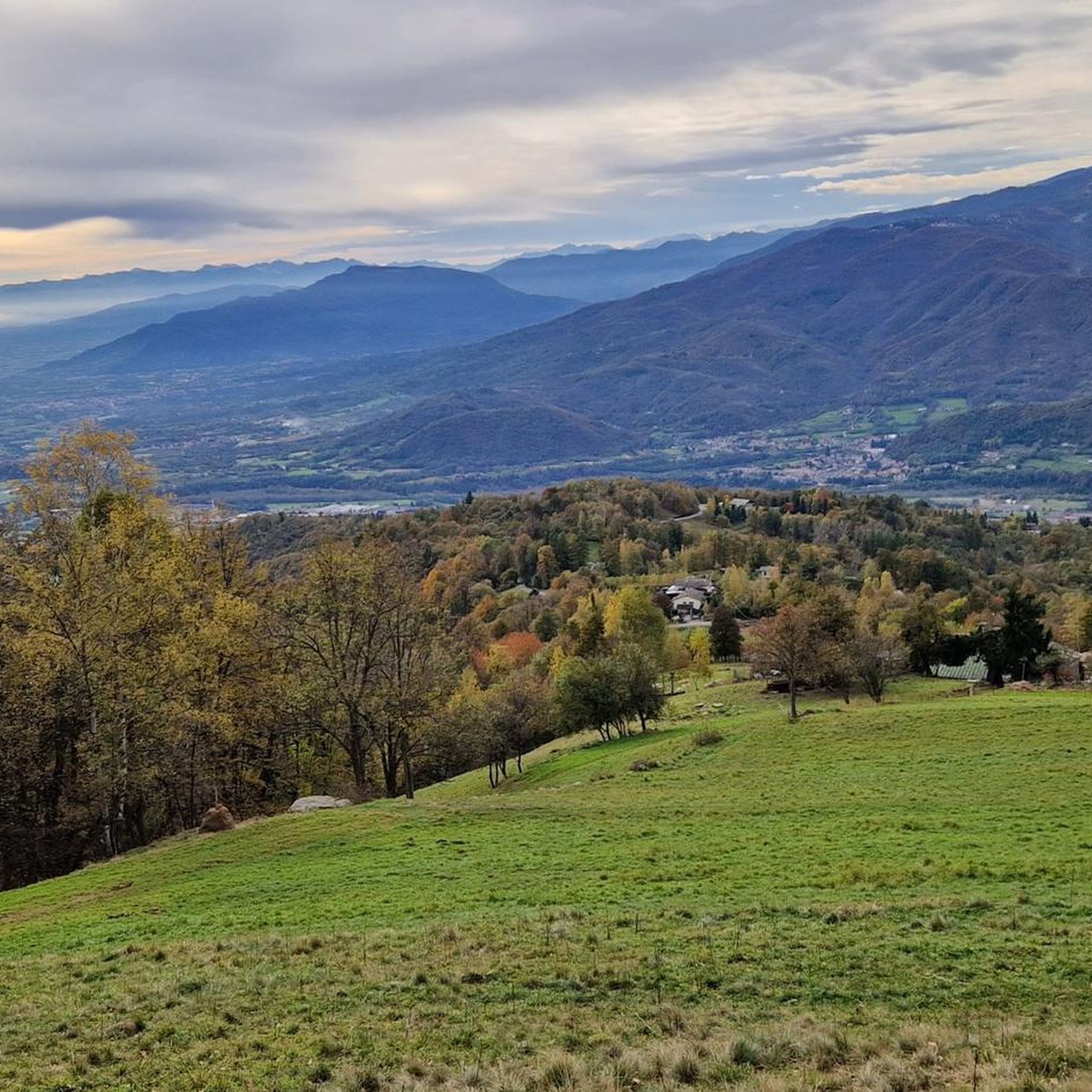
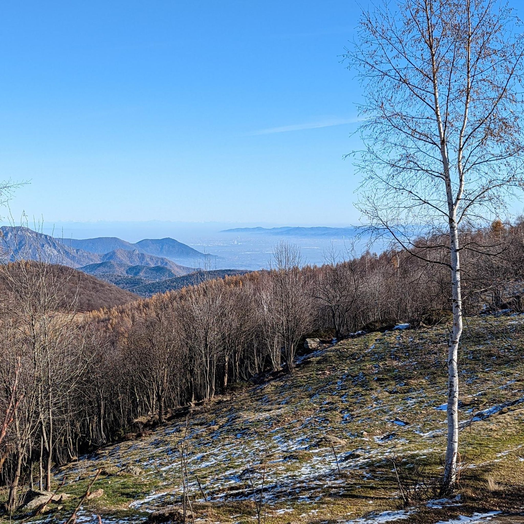
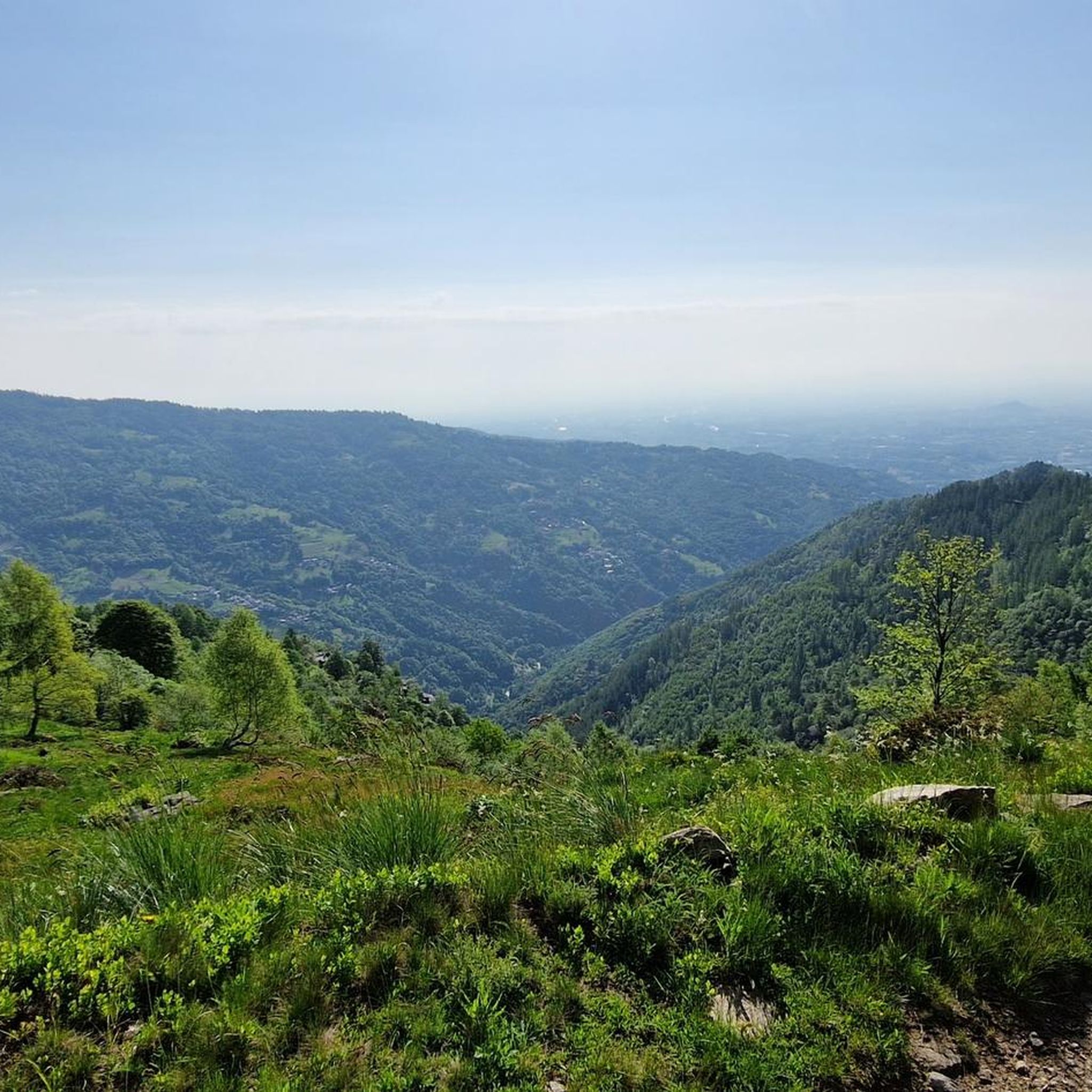

Tips from the Community

located along the dirt road and slightly downhill, you need to be careful to see it
0
0

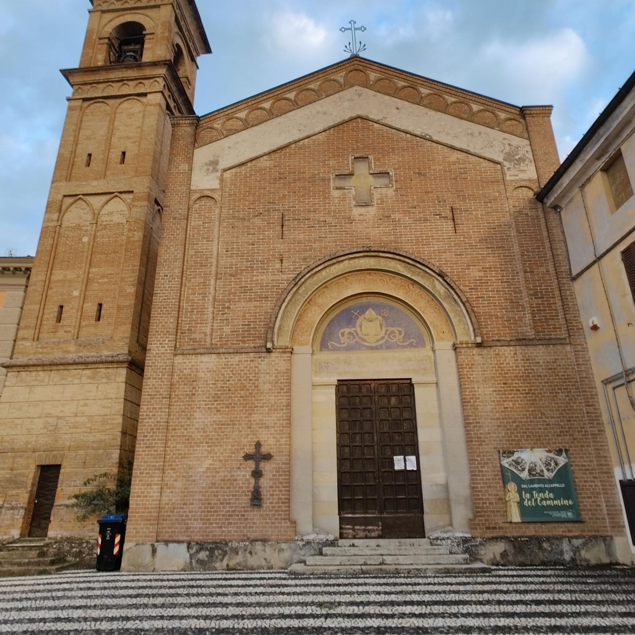
The historical heart of the Waldensian faith. A simple and austere temple, like all Protestant temples: here one comes to pray, not to show off that we are richer than our neighbors. Nevertheless, the structure is very beautiful. Panoramic position, with a beautiful view of the valley (and of the Catholic church further down). The fountain in front of the entrance is beautiful and convenient. The WC (always open) on the valley side is also convenient. Access to the structure is protected by a small gate, which is however always open - remember to close it after passing. [Attention when entering on the right: currently (May 2026) one of the retaining walls of the embankment has collapsed, and the terrace towards the mountain is widely roped off, you can barely pass.] The actual temple, however, is normally closed, because it's fine to trust, but there's a limit. The tombstones on the walls of the entrance vestibule are interesting. You really breathe an air of a sacred place, which I have found in few other places.
0
0

Beautiful panoramic point from Colle Vaccera
0
0

360 degree view!
0
0

This Rifugio is only open during the weekends and in the summer season. If you're not certain of its availability, bring something to eat with you. 🌯
0
0

Panoramic terrace over the entire plain 🤩
1
0
Giant bench 383. Placed on September 24, 2024 on Monte Castelletto (1500 m). Fantastic view
1
0

It's a very panoramic place, 360°
0
0
Frequently Asked Questions
How many hiking trails are available around Angrogna?
There are over 50 hiking trails in the Angrogna area, catering to various skill levels. You'll find a good mix of easy, moderate, and difficult routes to explore the diverse landscapes of the Cottian Alps.
What types of terrain can I expect on hikes in Angrogna?
Hikes in Angrogna traverse a variety of terrains, from lush forests and picturesque alpine pastures to more challenging mountain paths leading to prominent peaks like Punta Freidour and Mount Vandalino. You may also encounter notable rock faces, such as the Falesia del Bagnour.
Are there any easy hiking routes suitable for beginners in Angrogna?
Yes, Angrogna offers several easy hiking routes. Out of the over 50 trails, 12 are classified as easy, providing gentle walks through the valley and lower alpine areas, perfect for those new to hiking or looking for a relaxed outing.
What are some notable viewpoints or natural features to see on the trails?
Many trails offer stunning valley views and panoramic vistas. For a truly breathtaking experience, Monte Castelletto provides a 360-degree panoramic view, complete with a 'Giant bench' at 1500 meters. The Colle Vaccera pass is another significant point, offering authentic balcony views over the Pinerolese area.
Are there any circular hiking routes in Angrogna?
Yes, Angrogna features several circular routes. For example, the Monte Castelletto – loop tour in the province of Torino is a challenging 13.9 km circular hike. Another option is the Paths of the Resistance: Rifugio Barfè Loop, a moderate 5.5-mile route rich in history.
What is the best time of year to go hiking in Angrogna?
The best time to hike in Angrogna is generally from late spring through early autumn (May to October) when the weather is mild, and the alpine pastures are in full bloom. Summer offers warmer temperatures, while autumn brings vibrant foliage. Some lower-altitude trails may be accessible in winter, but higher routes can be snow-covered.
Are there any family-friendly hiking options in Angrogna?
Angrogna has several easy and moderate trails that are suitable for families. These routes often wind through forests and offer gentle ascents, allowing for an enjoyable experience for all ages. Look for trails with shorter distances and less elevation gain.
Can I bring my dog on the hiking trails in Angrogna?
Most hiking trails in Angrogna are dog-friendly, allowing you to explore the beautiful landscapes with your canine companion. However, it's always recommended to keep your dog on a leash, especially in areas with livestock or wildlife, and to follow local regulations regarding pet access.
Are there any historical sites or cultural landmarks along the hiking routes?
Angrogna is rich in Waldensian history, and many trails trace the paths where these communities once sought refuge. The Historic Waldensian trail from Pra del Torno and the Angrogna Valley Trail to Colletto Souiran are examples of routes that immerse you in this heritage, passing through significant historical areas.
What do other hikers enjoy most about hiking in Angrogna?
The Angrogna area is highly rated by the komoot community, with an average score of 4.3 stars from over 500 reviews. Hikers often praise the diverse landscapes, the blend of natural beauty with rich Waldensian history, and the variety of trails suitable for different fitness levels.
Are there any refuges or places to get refreshments along the trails?
Yes, the region offers refuges that provide hospitality and refreshments. Rifugio Jumarre, located at 1,450 meters above sea level along the path to Colle della Vaccera, is a key reference point for hikers, offering local dishes and information on surrounding itineraries.
Is public transport available to reach the hiking trailheads in Angrogna?
While specific public transport options directly to all trailheads might be limited, Angrogna is accessible within the metropolitan city of Turin. It's advisable to check local bus schedules or consider driving to reach the starting points of many popular hikes.
Most popular routes around Angrogna
Most popular attractions around Angrogna

Get inspired with the komoot mobile app


Explore more
Browse the best Hikes in other regions.
