The best mountain hikes around San Tomaso Agordino
4.8
(59)
443
hikers
19
hikes
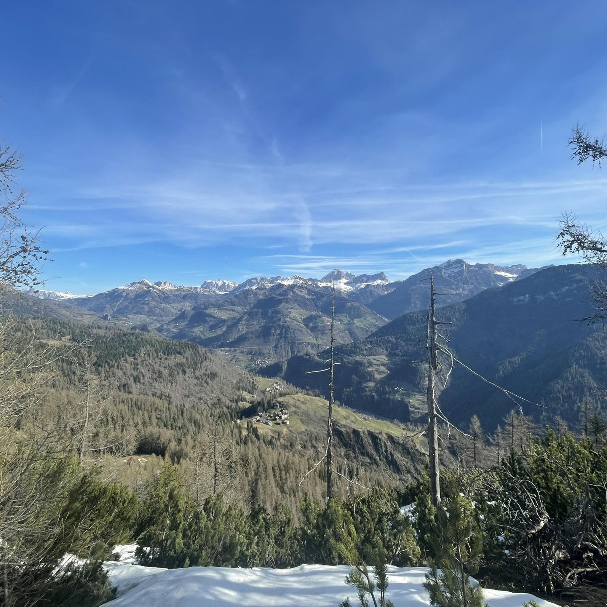
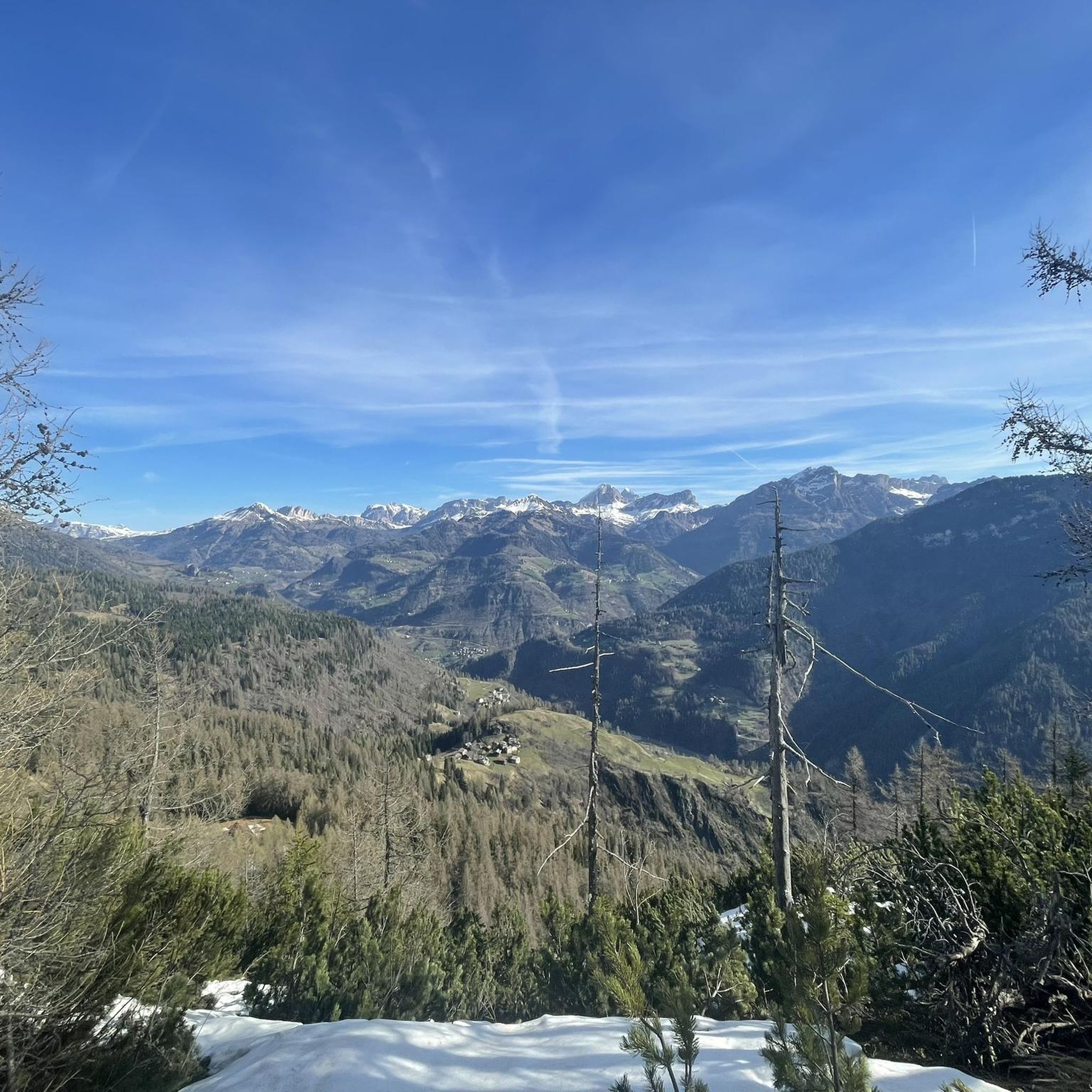
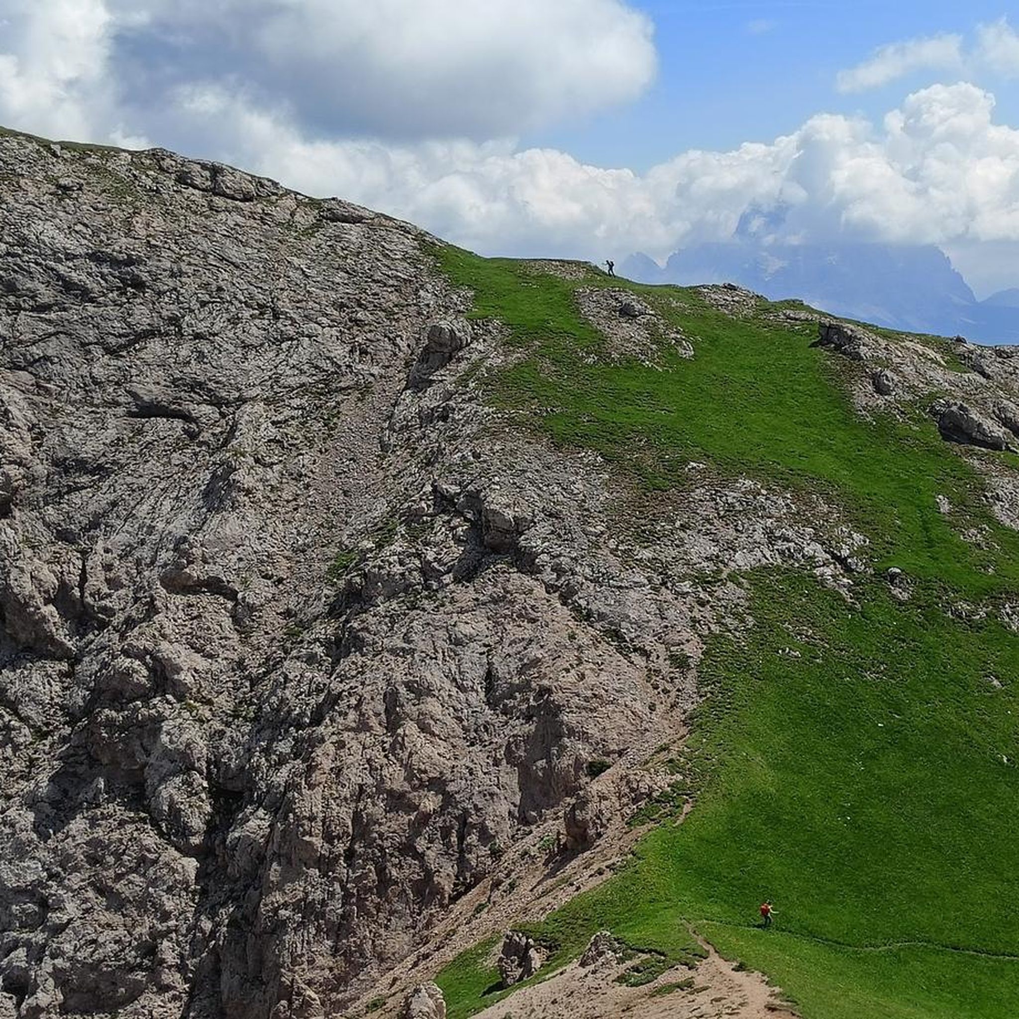
Mountaineering routes San Tomaso Agordino are set within the heart of the Italian Dolomites, a UNESCO World Heritage site. The region is characterized by prominent limestone and dolomite peaks, including Monte Civetta and Marmolada, offering diverse and challenging terrain. Steep slopes, alpine lakes, and dense woods define the landscape, with hamlets situated between 852 and 1367 meters above sea level. This environment provides a unique setting for mountaineering.
Best mountaineering routes around San Tomaso Agordino
- The most popular mountaineering route…
Last updated: October 8, 2026
5.0
(7)
67
hikers
10.3km
05:06
650m
650m
Hard mountaineering route. Very good fitness required. Sure-footedness, sturdy shoes and alpine experience required.
4.6
(5)
38
hikers
15.8km
06:37
950m
950m
Hard mountaineering route. Very good fitness required. Sure-footedness, sturdy shoes and alpine experience required.

4.2
(6)
41
hikers
18.0km
07:58
1,220m
1,220m
Hard mountaineering route. Very good fitness required. Mostly accessible paths. Sure-footedness required.
4.5
(2)
14
hikers
11.4km
08:57
1,530m
1,530m
Hard mountaineering route. Very good fitness required. Sure-footedness, sturdy shoes and alpine experience required.
4.7
(3)
19
hikers
15.5km
07:03
1,130m
1,130m
Hard mountaineering route. Very good fitness required. Sure-footedness, sturdy shoes and alpine experience required.
Get access to more routes and recommendations from other explorers.
Already have an account?
Our route recommendations are based on thousands of hikes, rides, and runs completed by other people on komoot.
Start today with a free account
Your next adventure awaits.

Tips from the Community

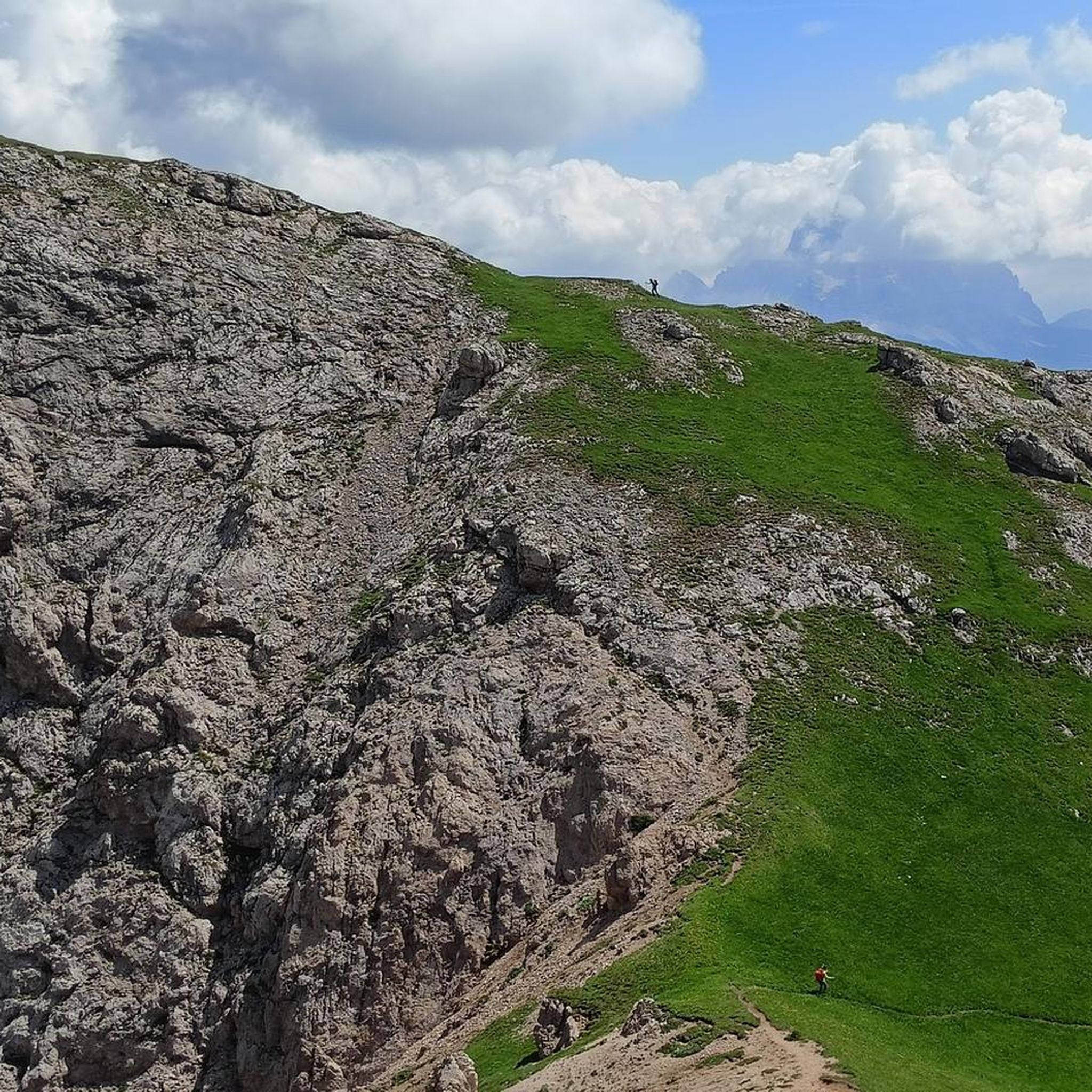
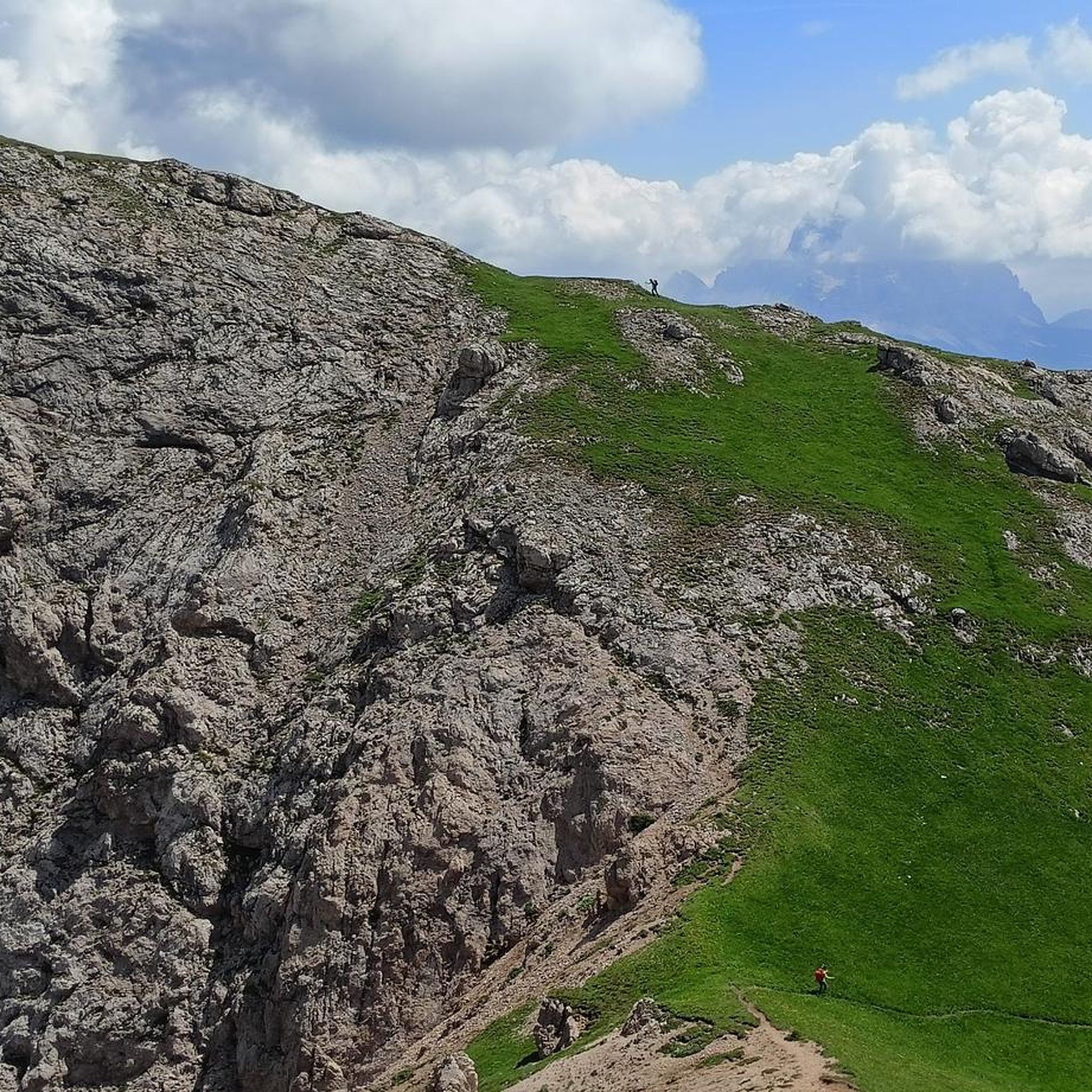
The Ferrata Tissi is often descended in conjunction with the descent via the normal route from Civetta, for example after first climbing to Civetta via the Ferrata Alleghesi. It is classified as C/D, which is slightly more difficult than the Ferrata Alleghesi (C) and is more pleasant to descend than to ascend, as you can go a lot on friction. In addition, you have a longer scree field on the descent, which you would otherwise have to overcome laboriously on the ascent. But of course, you could also ascend the Tissi. Between the start of the via ferrata and the rest, there is usually a snowfield to cross.
0
0

Lake Fedaia is an artificial lake at the foot of the Marmolada
1
0

View of Pelmo from the path leading up to Lake Coldai
0
1

Cima Coldai, at an altitude of 2,400 meters, offers spectacular views of some of the most famous peaks, including Pelmo and the nearby Civetta. The view of the lake from above—what more can I say? A summit that's worth a visit, but be careful, as the ascent involves scrambling over unprotected rocks. Not a summit for everyone, but it's worth the effort.
0
0

The reservoir lies between the northern slope of the Marmolada and the Padon ridge running north of the lake. The SS 641 "del Passo Fedaia" state road runs along the northern shore of the lake from Canazei to Rocca Pietore. The Avisio River, which originates in the glacial area of the Marmolada and flows further through the Fassa Valley, is dammed, as are several smaller streams, such as the Torrente Vernel and the Torrente Ombretta. The water from the Torrente Obretta, which lies below the reservoir, is collected and pumped into the lake.[3]
0
0

You have to be careful on the last 100m of altitude on the Cima di Coldai, it is very steep.
1
0

The hut is part of the Alta Via No. 1 and is located on the trail between Rifugio Coldai and Rifugio Vazzoler. A visit is not to be missed. The view from the nearby Col Rean to Lago Alleghe, almost 1,000 meters below, and the northwest face of the Civetta are particularly impressive.
0
0

The Palafavera Refuge is located in the eponymous village in the municipality of Val di Zoldo, along the SP 251 provincial road, at the foot of the slopes of the Ski Civetta area. With a simple mountain atmosphere, it offers double, twin, triple, and one quadruple room. All rooms have private bathrooms, some have balconies, others overlook the slopes. The facility includes a restaurant, bar, and panoramic terrace, as well as ski storage and rental. In the summer, it is a strategic location for excursions to Mount Pelmo or Mount Civetta. https://www.palafavera.com/it/
1
0
Frequently Asked Questions
What is the general difficulty level of mountaineering routes in San Tomaso Agordino?
The mountaineering routes in San Tomaso Agordino are predominantly challenging. Out of 23 available routes, 17 are rated as difficult, and 6 are moderate. There are no easy mountaineering routes listed in this area, indicating a focus on more experienced climbers.
Are there any circular mountaineering routes in San Tomaso Agordino?
Yes, several mountaineering routes in the area are circular. For example, the Lake Fedaia – Via Ferrata delle Trincee loop from Lago di Fedaia - Lech de Fedaa is a difficult 10.3 km loop. Another option is the Lake Coldai loop from Alleghe, a difficult 12.5 km route. For a longer challenge, consider the Lake Coldai – Attilio Tissi Hut loop from Alleghe, which spans 18.3 km.
What kind of views can I expect on mountaineering routes in San Tomaso Agordino?
Mountaineering in San Tomaso Agordino offers extensive panoramic views of the Dolomites, a UNESCO World Heritage site. You can expect dramatic limestone and dolomite peaks such as Marmolada, Civetta, Pelmo, and Agnèr. Routes often feature stunning vistas of alpine lakes like Lake Coldai and Lake Fedaia, as well as high alpine terrain.
Are there any routes that lead to prominent summits?
Yes, the region is known for its iconic peaks. The Monte Civetta Summit – Monte Civetta Summit loop from Malga Grava is a challenging 11.3 km route that ascends to the summit of Monte Civetta, offering breathtaking 360-degree views. Other notable summits in the vicinity include Punta Penia (Marmolada Summit) and Col dei Baldi.
What are some interesting natural features or landmarks along these routes?
Beyond the majestic peaks, you'll encounter several natural features. Many routes pass by beautiful alpine lakes such as Lake Coldai and Lake Fedaia. The area is also characterized by dense woods and unique geological formations typical of the Dolomites. You might also find themed paths like the "Dolomiti in Miniatura" trail, which features large rock sculptures.
What do other mountaineers say about the routes in San Tomaso Agordino?
The mountaineering routes in San Tomaso Agordino are highly regarded by the komoot community, with an average rating of 4.7 stars from over 65 reviews. Mountaineers often praise the challenging ascents, the stunning Dolomite views, and the diverse limestone terrain.
Are there any routes that include a Via Ferrata?
Yes, the Lake Fedaia – Via Ferrata delle Trincee loop from Lago di Fedaia - Lech de Fedaa is a difficult route that features a demanding Via Ferrata, offering stunning Dolomite views. This route is 10.3 km long and typically takes around 5 hours and 7 minutes to complete.
Are there any routes that pass by mountain huts?
Yes, the Lake Coldai – Attilio Tissi Hut loop from Alleghe is a challenging 18.3 km route that leads past the picturesque Lake Coldai and provides access to a mountain hut, offering a potential stop or overnight stay for mountaineers.
What is the highest point accessible on a mountaineering route in this guide?
While specific route elevations vary, the region provides access to some of the highest peaks in the Dolomites. The Monte Civetta Summit – Monte Civetta Summit loop from Malga Grava ascends to Monte Civetta Summit at 3220 meters. The highest peak in the Dolomites, Punta Penia (Marmolada Summit) at 3,343 meters, is also nearby and offers challenging climbs.
How many mountaineering routes are available in San Tomaso Agordino?
There are 23 mountaineering routes available in San Tomaso Agordino, catering primarily to experienced climbers with a mix of moderate and difficult trails.
Are there any routes suitable for high-altitude trekking or introductory mountaineering?
The area offers opportunities for high-altitude trekking and introductory mountaineering experiences, where individuals can learn basic alpinism concepts. Routes like the Bivacco Marco Dal Bianco – Marmolada South Face loop from Malga Ciapela, a difficult 17.1 km route, provide a challenging high-alpine environment for those seeking such experiences.
What is the longest mountaineering route mentioned in this guide?
The longest mountaineering route mentioned in this guide is the Lake Coldai – Attilio Tissi Hut loop from Alleghe, which covers a distance of 18.3 km and is rated as difficult.
Most popular routes around San Tomaso Agordino
Most popular attractions around San Tomaso Agordino

Get inspired with the komoot mobile app


Explore more
Browse the best Mountain Hikes & Routes in other regions.
