The best running trails around Briga Alta
4.6
(27)
1,414
runners
80
runs
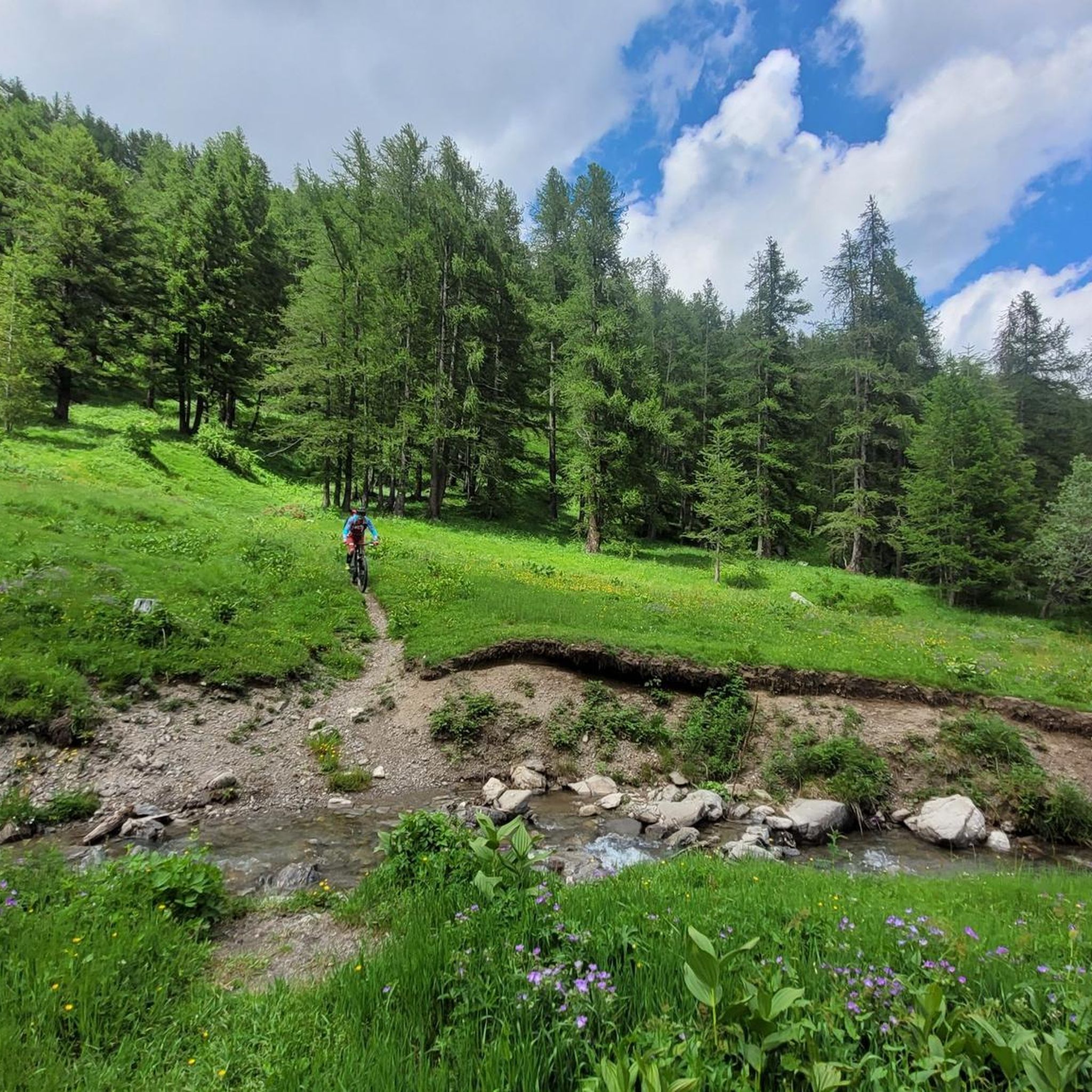
Jogging routes Briga Alta traverse a diverse landscape within the Italian Alps, characterized by extensive beech, fir, and larch woods, alongside rugged peaks and serene alpine meadows. The region is part of the Natural Park of Marguareis, offering a variety of environments from tranquil valleys to more challenging mountain ascents. Joggers can explore routes through deep gorges and past picturesque lakes, with terrain ranging from forest paths to open pastures. This area provides a natural setting for running, with varied…
Last updated: July 7, 2026
3
runners
5.87km
01:18
490m
490m
Hard run. Very good fitness required. Sure-footedness, sturdy shoes and alpine experience required.
11.1km
02:47
1,160m
1,160m
Grand Italian Trail - Stage E03 is a difficult 6.9-mile (11.1 km) route in Parco Naturale del Marguareis, with 3822 feet (1165 metres) of el

Sign up for free
52
runners
40.6km
07:34
2,560m
2,560m
Hard run. Very good fitness required. Sure-footedness, sturdy shoes and alpine experience required.
46
runners
13.9km
02:03
680m
680m
Hard run. Very good fitness required. Sure-footedness, sturdy shoes and alpine experience required.
11
runners
18.6km
02:52
970m
970m
Hard run. Very good fitness required. Sure-footedness, sturdy shoes and alpine experience required.
Get access to more routes and recommendations from other explorers.
Sign up for free
Already have an account?
Our route recommendations are based on thousands of hikes, rides, and runs completed by other people on komoot.
Start today with a free account
Your next adventure awaits.
Login or Signup


Other adventures around Briga Alta

Tips from the Community

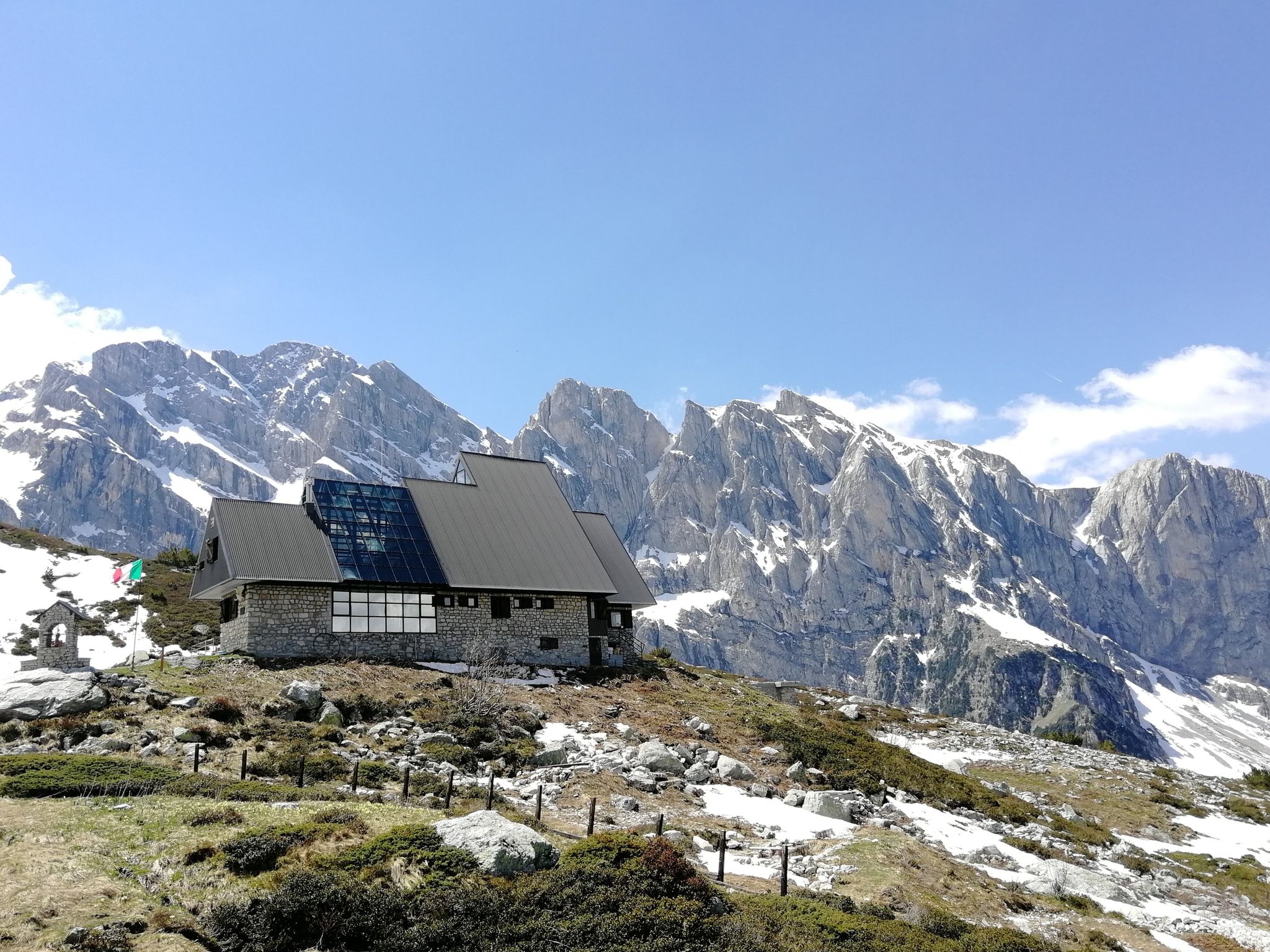
Refuge-hotel located in a very panoramic position
0
0

Very panoramic on certain days you can see the sea!
0
0

Beautiful and direct ascent from Don Barbera
0
0

It is the other name to define the Porta Sestrera, which separates the Pesio valley from the Ellero valley
0
0
High point at 2225 metres above sea level that connects the Pesio valley with the Ellero valley, and in about 2 hours of walking the path that passes through here connects the Piero Garelli refuge with the Havis de Giorgio refuge
0
0

For the bottom I recommend the opposite, marmotte-monesi
1
0

From Monesi to Col di Tenda the road is very long. The name of this place is not correct. This is simply the start of the Via del Sale with the ascent from Monesi.
1
0

the climb from the east from the Passo delle Saline is almost all on scree, if you are able I find it much better to get to the top by going through Colle del Pas + Cima Pian Ballaur (the route gets longer) or from the Canale delle Masche (easy mountaineering)
1
0
Frequently Asked Questions
How many running routes are available in Briga Alta?
There are over 70 running routes available in Briga Alta, offering a wide range of options for different skill levels and preferences. The area is part of the Natural Park of Marguareis, providing diverse environments for your runs.
Are there any easy running routes suitable for beginners in Briga Alta?
While Briga Alta is known for its challenging alpine terrain, most of the routes are rated as difficult. However, the region's diverse landscapes, including alpine meadows and forest paths, offer sections that can be more accessible. It's advisable to check the elevation profiles for specific routes to find paths that match your fitness level.
Can I find circular jogging routes in the Briga Alta area?
Yes, there are several circular routes available. For a significant challenge, consider the Rifugio Don Barbera – Rifugio Piero Garelli loop from Carnino Superiore, which is 25.3 miles long. Another option is the Monesi di Triora – Pas du Tanarel loop from Piaggia, covering 13.9 miles.
What kind of landscapes can I expect to see while running in Briga Alta?
Briga Alta offers breathtaking and varied landscapes. You'll jog through extensive beech, fir, and larch woods, across expansive alpine meadows like Pian delle Vette, and past rugged peaks. The region is characterized by deep gorges, tranquil valleys, and diverse ecosystems within the Natural Park of Marguareis.
What do other runners say about the trails in Briga Alta?
The running routes in Briga Alta are highly rated by the komoot community, with an average score of 4.8 stars from over 10 reviews. More than 1000 runners have used komoot to explore the varied terrain, often praising the untouched mountain landscape and the challenging yet rewarding ascents.
Are there any specific attractions or landmarks I can visit along the running trails?
Yes, many routes offer views of or pass by interesting features. You might encounter historical architecture in hamlets like Upega and Carnino. Notable natural landmarks include mountain passes like Colle della Boaria Hairpin on the Via del Sale and Pas du Tanarel. You can also find historical sites such as Fort Central.
Are the running routes in Briga Alta suitable for families?
While many routes in Briga Alta are challenging, some sections through alpine meadows or less strenuous paths can be suitable for families looking for a leisurely jog or walk. It's best to check individual route descriptions for difficulty and elevation to ensure they align with your family's capabilities.
Can I bring my dog on the jogging trails in Briga Alta?
Briga Alta is an outdoor-focused region within the Italian Alps, and many trails are generally dog-friendly. However, always ensure your dog is on a leash, especially in protected areas like the Natural Park of Marguareis, and be mindful of wildlife and other trail users. Check specific park regulations if you plan to enter sensitive areas.
What are some longer running challenges in Briga Alta for experienced runners?
For experienced runners seeking a challenge, the Rifugio Don Barbera – Rifugio Piero Garelli loop from Carnino Superiore is a demanding 25.3-mile trail. Another option is the Grand Italian Trail - Stage E03, a difficult 6.9-mile path with notable ascents.
Are there routes that offer panoramic views in Briga Alta?
Absolutely. Many routes in Briga Alta provide spectacular panoramas. Paths through alpine meadows like Pian delle Vette offer wide-open vistas. Ascents towards peaks such as Monte Visentino, or routes near the Passo Tanarello on the Italian-French border, are known for their stunning views of the surrounding Alps.
What is the best time of year to go jogging in Briga Alta?
The best time for jogging in Briga Alta is typically from late spring to early autumn (May to October) when the weather is milder and trails are clear of snow. During these months, alpine meadows are in bloom, and the conditions are ideal for exploring the diverse landscapes. Winter jogging is possible on lower elevation paths, but higher routes will be snow-covered and require specialized gear.
Are there any routes that pass by lakes or water features?
Yes, Briga Alta's natural beauty includes several serene lakes. You can find picturesque backdrops for your runs around lakes such as Lago dei Noci, Lake Terrasole, Lago della Brignola, and Lago delle Scalette. The Valle dell'Agliè also features turquoise lakes and waterfalls.
Where can I find parking for the running routes in Briga Alta?
Parking availability varies by trailhead. Many trailheads in Briga Alta, especially near popular starting points for hikes and runs, will have designated parking areas. For routes starting from hamlets like Carnino Superiore or near mountain refuges, you can often find parking facilities. It's recommended to check specific route details or local information for the most convenient parking options.
Most popular attractions around Briga Alta

Get inspired with the komoot mobile app


Explore more
Browse the best Running Trails & Routes in other regions.
