The best walks and hikes around Orte
4.3
(525)
2,351
hikers
94
hikes
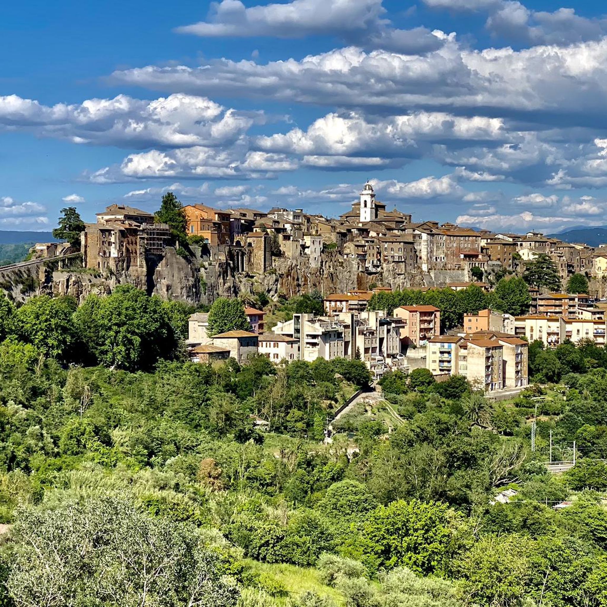
Hiking around Orte offers diverse landscapes characterized by the Tiber and Nera river valleys, rolling hills, and historical sites. The region features a mix of forested areas, open countryside, and ancient Roman and Etruscan ruins. Trails often follow riverbanks or ascend gentle slopes, providing varied terrain for exploration. This area in central Italy provides opportunities to combine outdoor activity with cultural discovery.
Best hiking trails around Orte
- The most popular hiking route is La Finestraccia – Etruscan Pyramid of Bomarzo loop from Mugnano in Teverina, a 8.4 miles (13.5 km) trail that takes 4 hours 12 minutes to complete. This difficult route explores ancient Etruscan sites and offers significant elevation changes.
- Another top favourite among local hikers is Ocriculum Roman Baths – The Great Substructures loop from Otricoli, an easy 2.9 miles (4.7 km) path. This trail leads through historical Roman ruins and offers a relatively flat walking experience.
- Local hikers also love the Nera River – Tunnel of the Former Railway loop from San Liberato, a 16.3 miles (26.3 km) trail leading through the Nera River valley and an old railway tunnel, often completed in about 6 hours 53 minutes.
- Hiking around Orte is defined by river valleys, historical ruins, and varied forest paths. The network offers options for different ability levels, from easy walks to more challenging routes.
- The routes in Orte are highly rated by the komoot community with an average score of 4.3 stars from over 400 reviews. More than 2000 hikers have used komoot to explore Orte's varied terrain.
Last updated: October 26, 2026
4.7
(3)
6
hikers
Easy hike. Easily walkable paths.
5.0
(3)
10
hikers
15.4km
04:21
330m
330m
Moderate hike. Good fitness required. Easily walkable paths.

3
hikers
7.70km
02:12
180m
180m
Moderate hike. Good fitness required. Easily walkable paths.
3
hikers
5.29km
01:21
20m
20m
Easy hike. Easily walkable paths.
3
hikers
7.66km
02:17
240m
230m
Moderate hike. Good fitness required. Easily walkable paths.
Get access to more routes and recommendations from other explorers.
Already have an account?
Our route recommendations are based on thousands of hikes, rides, and runs completed by other people on komoot.
Start today with a free account
Your next adventure awaits.
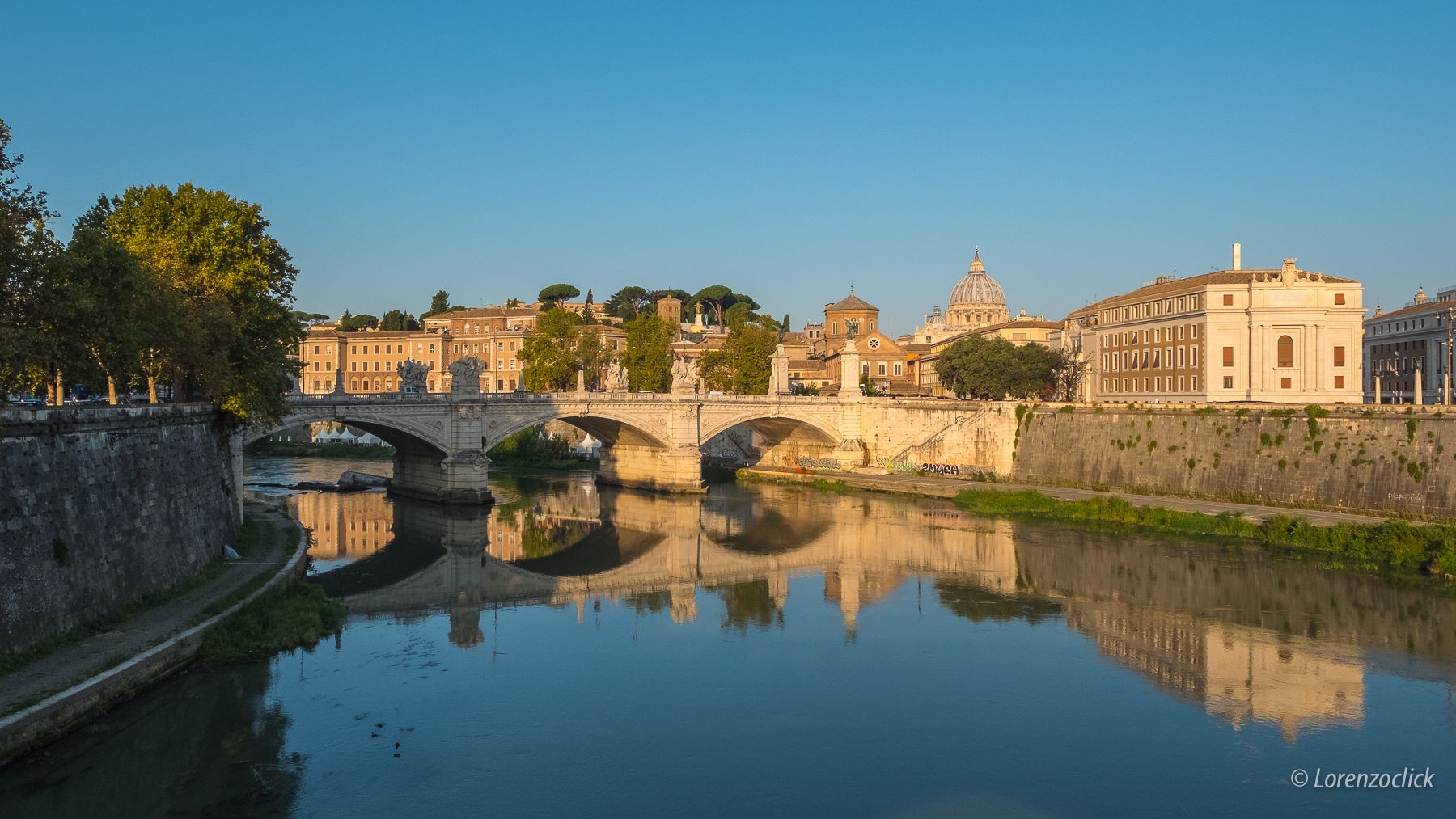
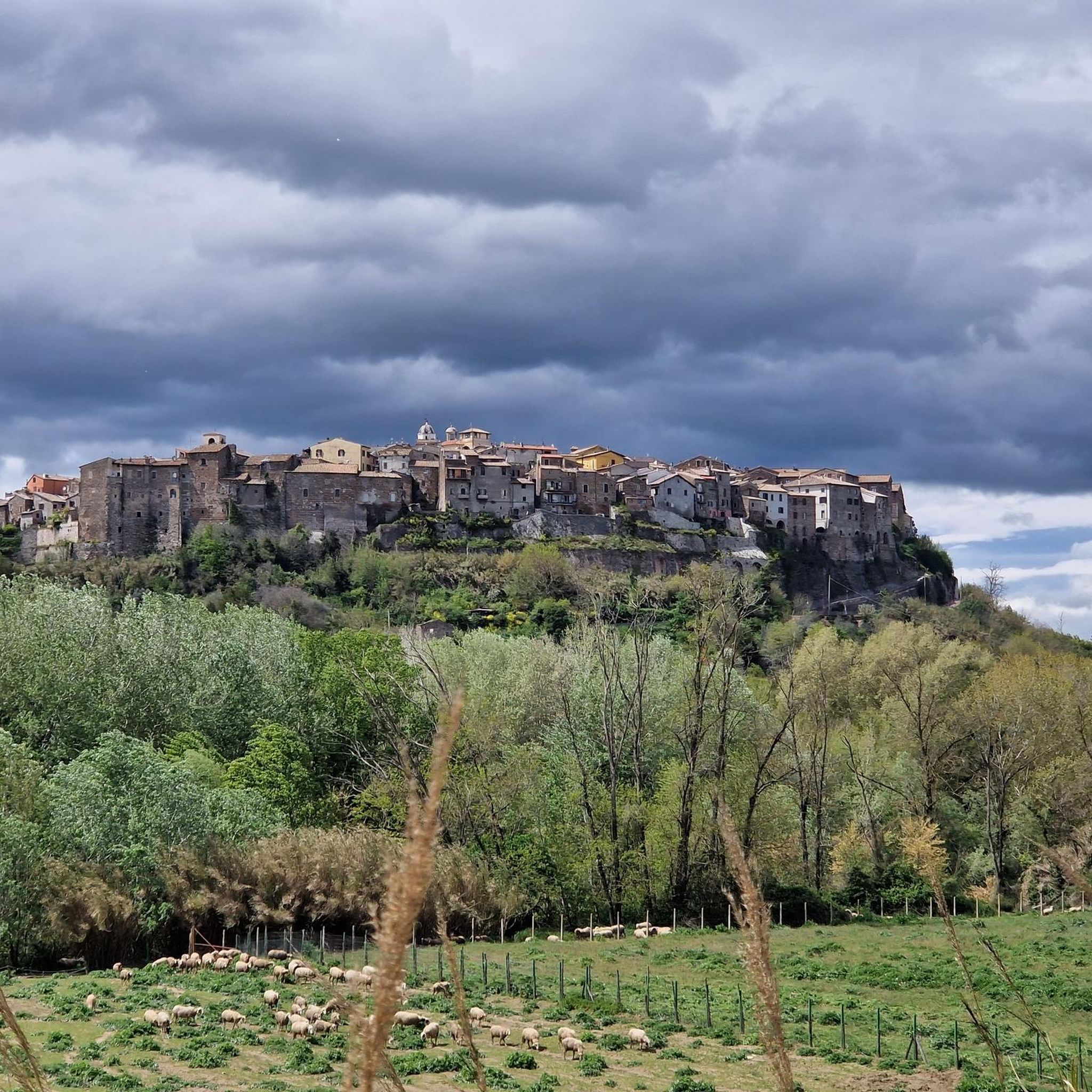
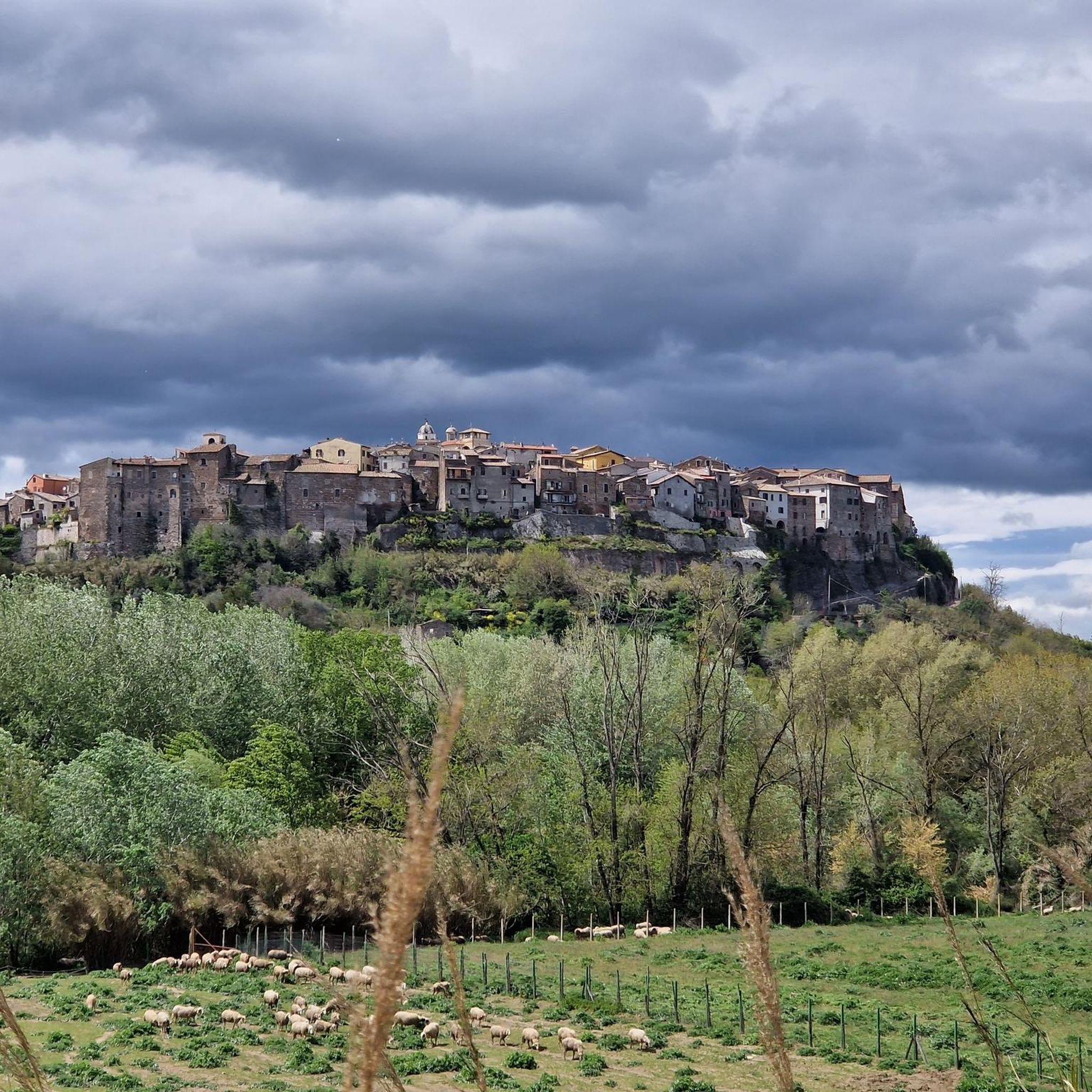

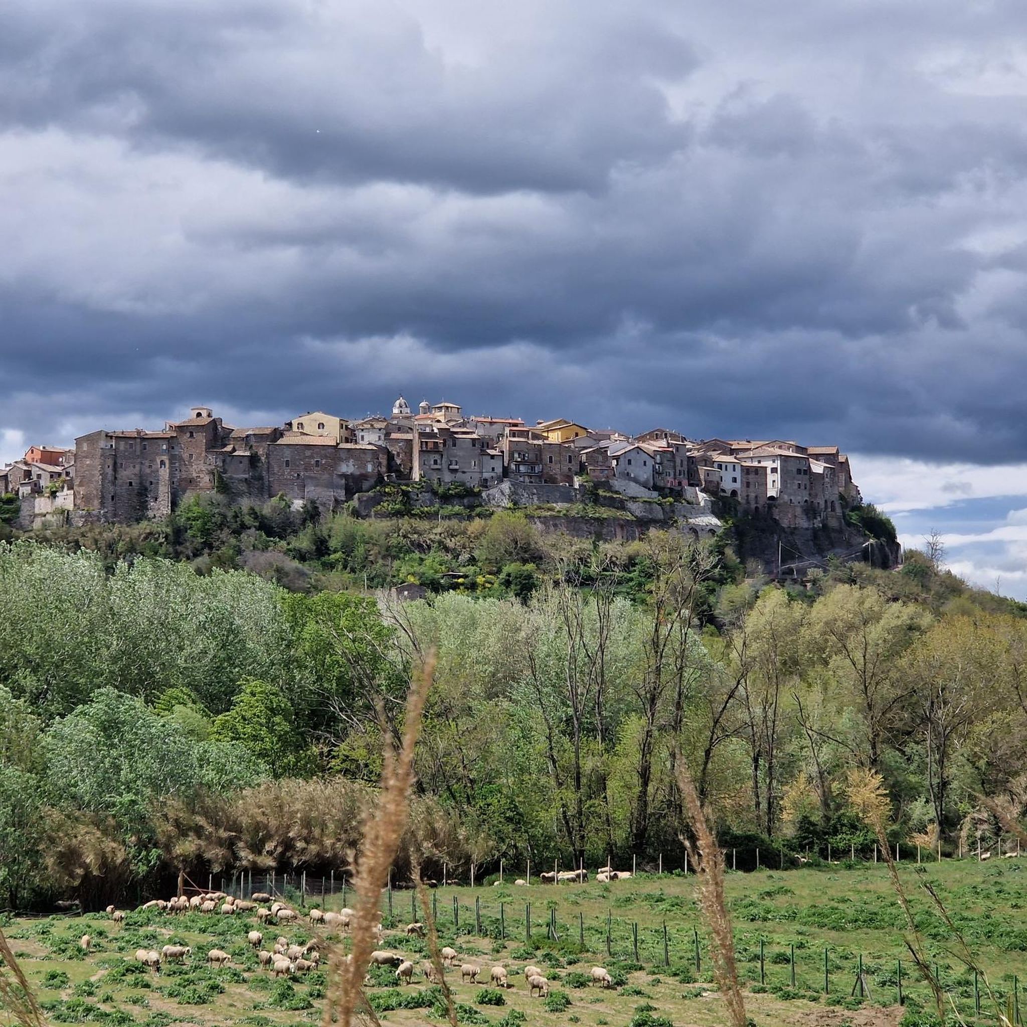
Other adventures around Orte

Tips from the Community

There was a huge problem with my tour. They let you through onto the grounds, but the routes through are blocked. I was just lucky that an employee was driving over the dam and I just made it back to freedom through the large gate. It's an operating area, after all. No idea who suggests a tour through here. On the other hand, about 15 km detour on rough gravel would have been the alternative for me. The lake, well. There are many waterfowl.
0
0

The remains of the ancient Roman city, crossed by the Via Flaminia and lapped by a bend of the Tiber, are set in a natural landscape of remarkable beauty, a perfect synthesis of archeology and nature with a centuries-old history.
0
0

This splendid archaeological park from the Roman era can be visited all year round for free. The park extends for 36 hectares from the nearby bend of the Tiber to under the modern Otricoli. Right on the Tiber river there are still the remains of the used Oil Port active until the 16th century. The remains of what were once thermal baths, amphitheaters and villas are perfectly preserved and extraordinarily integrated into the natural context of the area.
2
0
Penna in Teverina in the province of Terni, is located on a hill overlooking the Tiber valley. The name derives from the Latin "pinna", which means top or crown. Excellent place to look for a trattoria to stop for lunch.
1
0

nice from late spring to early autumn
0
0
Lovely place inside a archeologica park with a lovely view of the Tiber
2
0

Lake San Liberato is an artificial basin located in the territory of the municipality of Narni in Umbria, in the province of Terni and not far from the border with Lazio. It is obtained from the damming of the Nera river. Its humid and marshy environment and its ecosystem made up of numerous aquatic and migratory fauna are of particular interest.
4
0

The Roman Ocriculum In addition to Carsulae, Ocriculum is one of the most important archaeological sites in the region. The imposing remains of the Roman city of Ocriculum (not far from present-day Otricoli) can today be visited along a route in an area of about 11 hectares along the Tiber. You can see temples, spas (2nd century BC), the theater (1st century BC) and numerous tombs. Many of the Otricoli finds are found in the Vatican Museums, including the beautiful floor mosaic from the Baths and Jupiter from Otricoli. Not far from the town hall is a museum with finds from the archaeological site. Information: Tel. 0744.719628 - Infoline 199.194.114 e-mail: comuneotricoli@tin.it http://cms.provincia.terni.it/on-line/de/Home/TourismusTerni/Orte/Ausgrabungsstatten/Ausgrabungsstatten-GebietNarni.html
0
0
Frequently Asked Questions
How many hiking trails are available around Orte?
There are over 80 hiking trails around Orte, offering a wide variety of options for different skill levels and interests. The region's diverse landscape, characterized by river valleys and historical sites, provides ample opportunities for exploration.
Are there easy hiking trails suitable for beginners or families in Orte?
Yes, Orte offers many easy trails perfect for beginners or families. For instance, the Ocriculum Roman Baths – The Great Substructures loop from Otricoli is an easy 2.9-mile (4.7 km) path that leads through historical Roman ruins, offering a relatively flat and accessible walking experience.
What kind of historical sites or natural attractions can I see while hiking in Orte?
Hiking in Orte often combines natural beauty with rich history. You can explore ancient Roman and Etruscan ruins, such as those found along the La Finestraccia – Etruscan Pyramid of Bomarzo loop from Mugnano in Teverina. The region is also known for its impressive natural features like the Stifone and the Nera Gorges, or the unique Vie Cave of Corchiano, ancient Etruscan pathways carved into rock.
Are there any challenging or long-distance hikes in the Orte area?
For those seeking a challenge, Orte has several difficult and longer routes. The Nera River – Tunnel of the Former Railway loop from San Liberato is a demanding 16.3-mile (26.3 km) trail that takes you through the Nera River valley and an old railway tunnel, typically requiring about 7 hours to complete.
Are there circular hiking routes available around Orte?
Yes, many of the trails around Orte are designed as circular routes, allowing you to start and end at the same point. Examples include the The Great Substructures – Ocriculum Archaeological Park loop from Guadamello, a moderate 9.7-mile (15.6 km) hike, and the The Great Substructures – Roman Theatre of Ocriculum loop from Otricoli, an easy 3-mile (4.8 km) option.
What do other hikers enjoy most about the trails in Orte?
The hiking trails in Orte are highly rated by the komoot community, with an average score of 4.3 stars from over 400 reviews. Hikers often praise the region's unique blend of historical exploration and natural beauty, particularly the well-preserved ancient ruins and the scenic river valleys.
Are there any specific viewpoints or scenic spots along the hiking trails?
While specific named viewpoints are not detailed for every trail, the routes often follow riverbanks and ascend gentle slopes, providing panoramic views of the Tiber and Nera river valleys. Trails exploring areas like the Nera Gorges offer particularly scenic vistas.
Is it possible to find hikes that include caves or gorges in the Orte region?
Absolutely. The Orte area is rich in geological features. You can explore impressive natural gorges like the Carchiano Gorges or discover fascinating underground sites such as the Narni Sotterranea (Narni Underground) and the Rock-Cut Cave Dwellings of Corviano.
What is the best time of year to go hiking in Orte?
The region around Orte, being in central Italy, generally offers pleasant hiking conditions during spring and autumn when temperatures are mild. Summer can be warm, making early morning or late afternoon hikes preferable, while winter offers a quieter experience, though some trails might be muddy after rain.
Are there hiking routes around Orte that are suitable for dogs?
Many trails in the Orte region are suitable for dogs, especially those that traverse open countryside and forested areas. It's always recommended to keep dogs on a leash, especially near historical sites or in areas with wildlife, and to carry water for both yourself and your pet.
Where can I find parking for hiking trailheads in Orte?
Parking availability varies by trailhead. For routes starting from towns like Otricoli or Mugnano in Teverina, you can often find public parking in or near the village centers. For more remote trailheads, roadside parking might be available. It's advisable to check specific route details on komoot for parking suggestions.
Most popular attractions around Orte

Get inspired with the komoot mobile app


Explore more
Browse the best Hikes in other regions.
