The best mountain hikes around Vinadio
4.7
(3)
60
hikers
5
hikes
Mountaineering routes around Vinadio are situated in the Cuneo province of the Italian Alps, characterized by rugged mountain terrain, deep valleys, and high-altitude lakes. The region offers a diverse landscape for mountaineers, with significant elevation changes and varied natural features. This area provides opportunities for exploring alpine environments, from challenging ascents to scenic loops through mountainous passes.
Best mountaineering routes around Vinadio
- The most popular mountaineering route is Vens Lakes loop from Santuario di Sant'Anna di Vinadio, a 6.2…
Last updated: July 8, 2026
5.0
(1)
22
hikers
11.1km
07:44
1,450m
1,450m
Hard mountaineering route. Very good fitness required. Sure-footedness, sturdy shoes and alpine experience required.
8
hikers
15.3km
07:18
1,180m
1,180m
Hard mountaineering route. Very good fitness required. Sure-footedness, sturdy shoes and alpine experience required.

Sign up for free
5.0
(1)
8
hikers
15.5km
07:58
1,330m
1,330m
Hard mountaineering route. Very good fitness required. Sure-footedness, sturdy shoes and alpine experience required.
6
hikers
18.4km
07:50
1,160m
1,160m
Hard mountaineering route. Very good fitness required. Sure-footedness, sturdy shoes and alpine experience required.
6
hikers
4.79km
03:53
750m
750m
Hard mountaineering route. Good fitness required. Sure-footedness, sturdy shoes and alpine experience required.
Our route recommendations are based on thousands of hikes, rides, and runs completed by other people on komoot.
Start today with a free account
Your next adventure awaits.
Login or Signup
Popular around Vinadio

GTA South Piedmont — Hiking in Italy's Occitan valleys
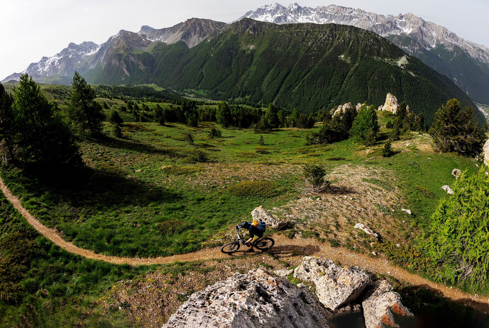
The STONE KING Route – adventure enduro from High Alps to the Med
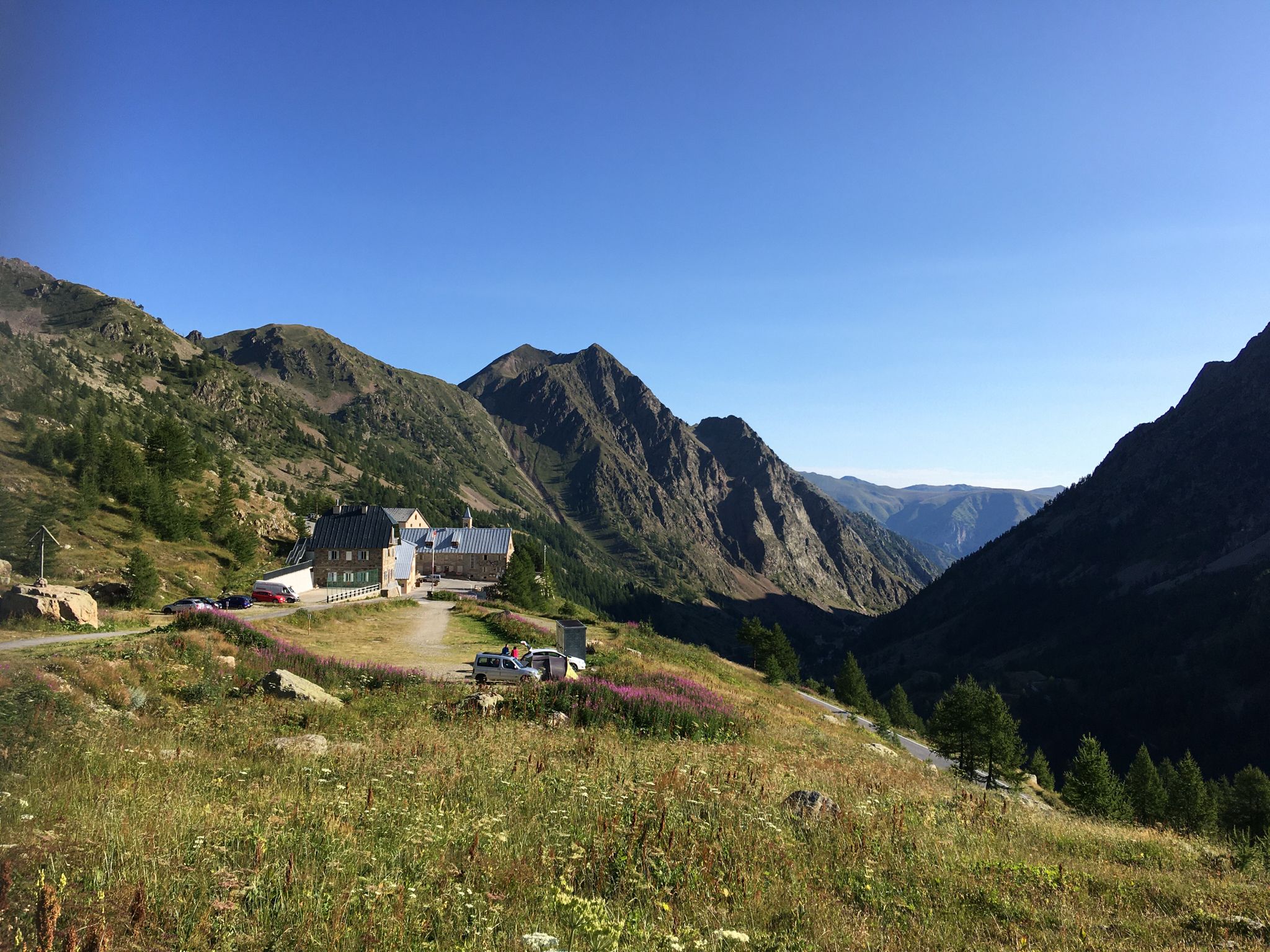
Italy’s Way of Saint Anne – a journey through faith and tradition

MigrAction – Generations in Motion
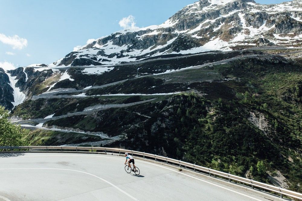
Off to the clouds on slick asphalt
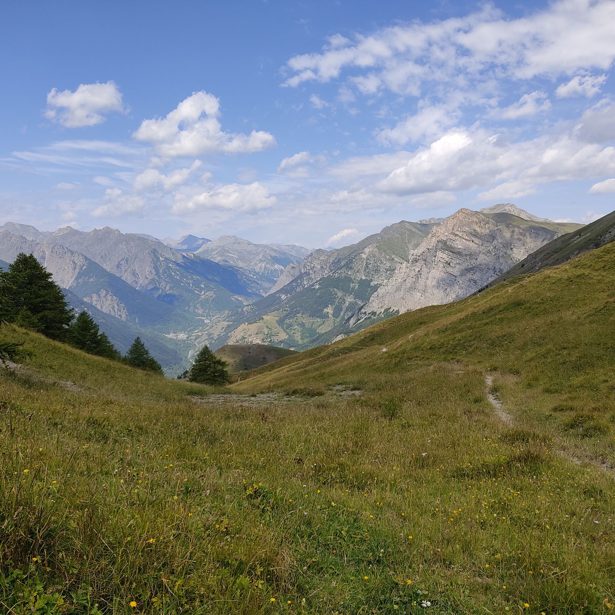
Hiking around Vinadio
MTB Trails around Vinadio
Road Cycling Routes around Vinadio
Cycling around Vinadio
Running Trails around Vinadio
Other adventures around Vinadio


Tips from the Community

The truly spectacular Rocca Mejia
0
0

Another beautiful lake in the series, definitely worth the climb.
0
0

Spectacular setting 👍 Maira Valley highly recommended
1
0
You can also reach the refuge by e-bike
1
0

Beautiful walk using the path that branches off from the dirt road
0
0

For dog lovers...you are in a park...dog on a leash...good luck 🍻
1
0
A beautiful plateau...where sadly there was fighting...barracks and barbed wire are a reminder...all surrounded by splendid mountains and a beautiful colony of ibex. Be careful not to park on the grass...it rains fines
2
0

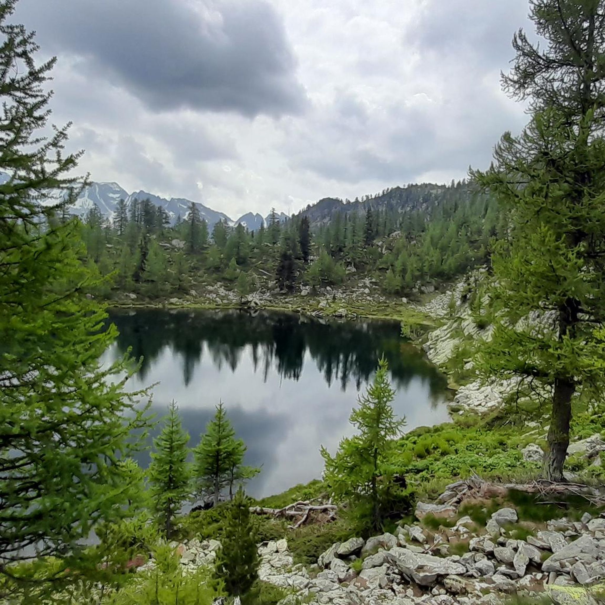
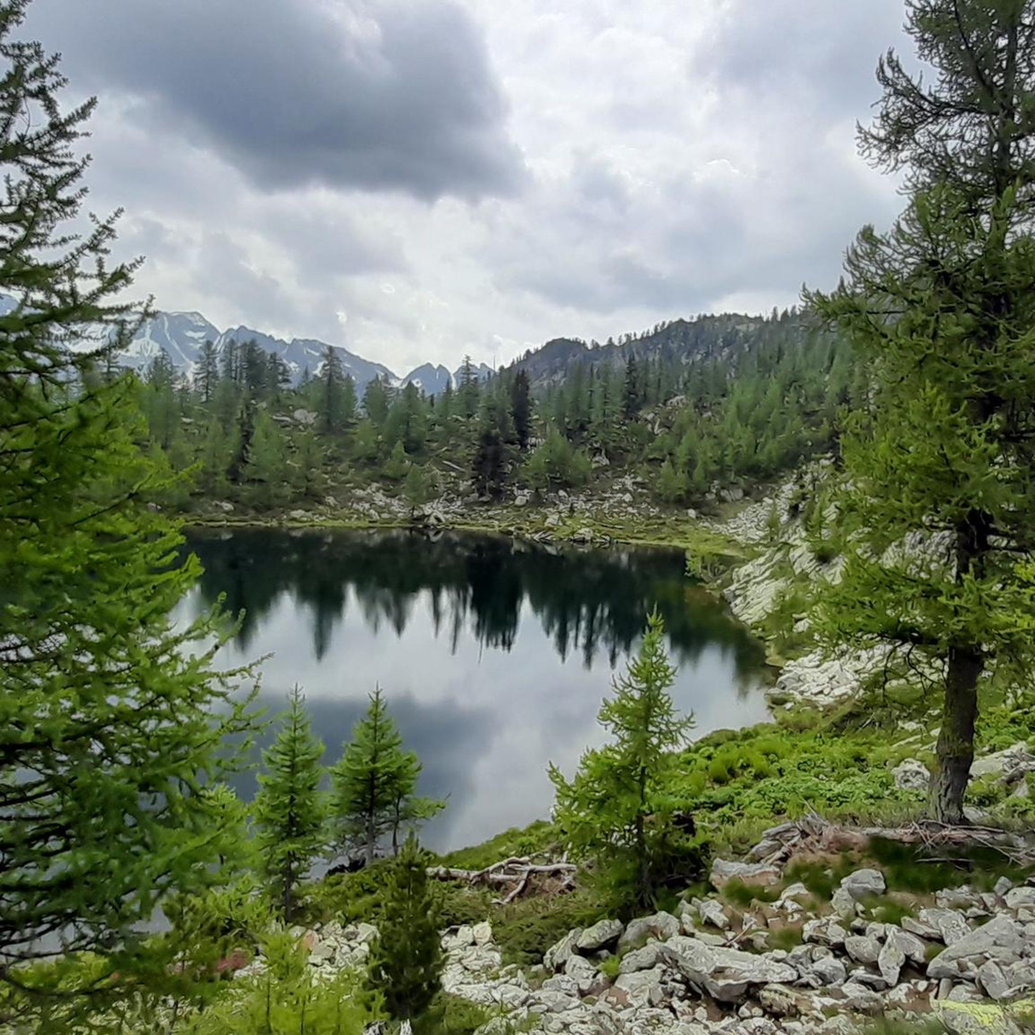
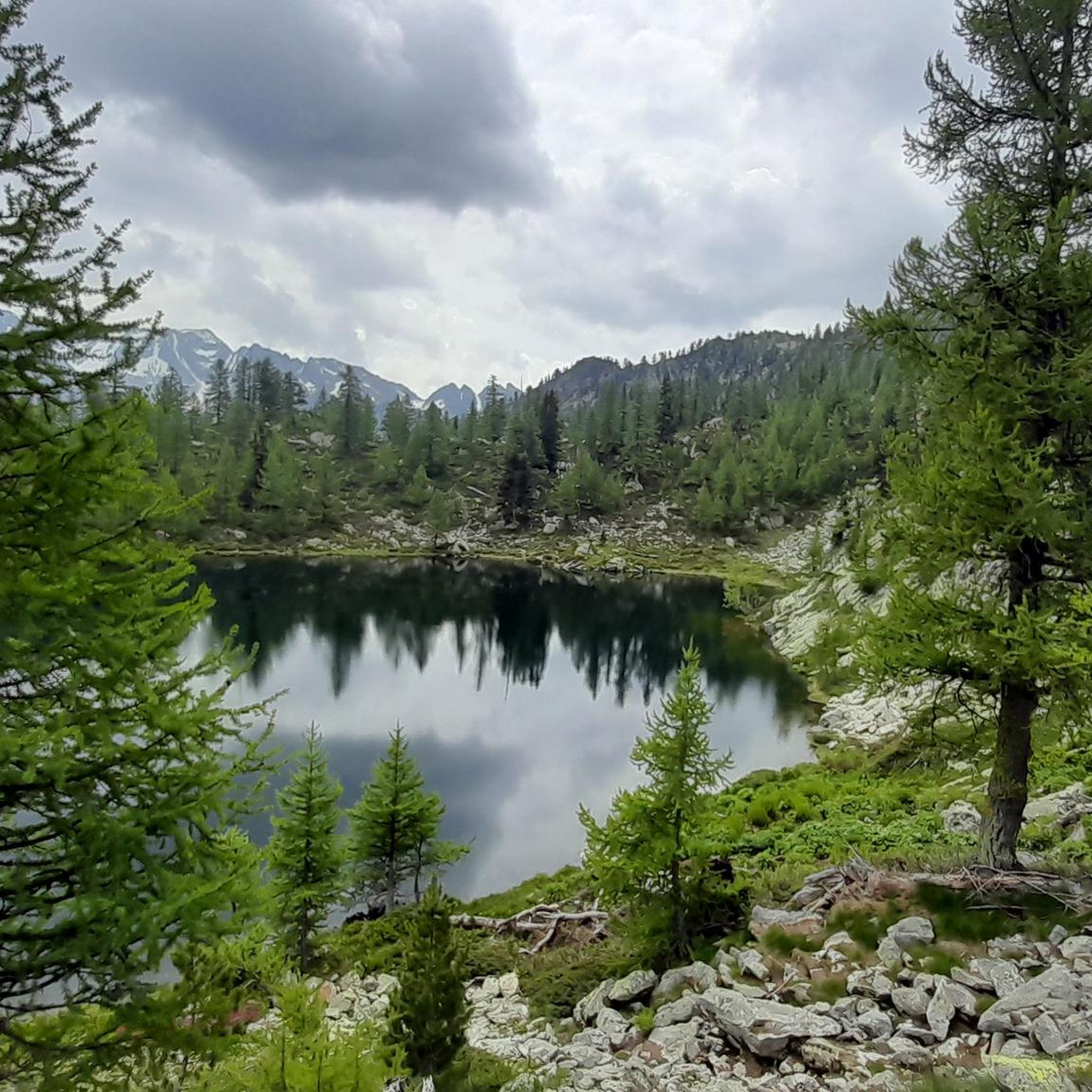
Small lake (easily accessible from various directions) particularly beautiful for the reflection of Rocca la Meja
1
0
Frequently Asked Questions
What are the typical difficulty levels for mountaineering routes around Vinadio?
The mountaineering routes in Vinadio primarily cater to those seeking a challenge. You'll find 3 moderate routes and 9 difficult routes, offering significant elevation changes and rugged terrain. There are no easy routes listed for mountaineering in this area.
What is the average duration for mountaineering tours in Vinadio?
Mountaineering tours in Vinadio vary in length, with many requiring a substantial time commitment. For example, the Vens Lakes loop from Santuario di Sant'Anna di Vinadio takes around 3 hours 26 minutes, while more challenging routes like the Lago di Nasta – Cima del Baus loop from Valle della Valletta can take over 7 hours to complete.
Are there any circular mountaineering routes in Vinadio?
Yes, several mountaineering routes in Vinadio are designed as loops, allowing you to start and end at the same point. Popular options include the Vens Lakes loop from Santuario di Sant'Anna di Vinadio, the Mountaineering loop from Pian Della Casa del Re, and the Bassa del Druos loop from Col de la Lombarde / Colle della Lombarda.
What kind of natural features can I expect to see on mountaineering routes in Vinadio?
The Vinadio region is characterized by rugged alpine landscapes. You'll encounter stunning high-altitude lakes, such as those on the Vens Lakes loop and the Lago di Nasta – Cima del Baus loop. The routes also traverse challenging mountain passes and offer panoramic views of the Cuneo province.
What do other mountaineers say about the routes in Vinadio?
The mountaineering routes in Vinadio are highly regarded by the komoot community, holding an impressive average rating of 4.8 stars from 10 reviews. Over 112 mountaineers have explored this area using komoot, often praising the challenging terrain and the beauty of the alpine lakes and mountain passes.
Are there any waterfalls near the mountaineering routes in Vinadio?
Yes, the Vinadio area is home to several beautiful waterfalls that can be explored. Notable ones include the Valasco Stream Waterfall, Pisciai Waterfall, and The Waterfall - Torrent de Vens. These natural attractions offer scenic detours or points of interest during your mountaineering adventures.
What kind of mountain passes can I explore in the Vinadio region?
Vinadio is surrounded by several significant mountain passes that are integral to its mountaineering landscape. You can explore passes like Preit Pass, Col de la Lombarde, and Colle Fauniera. These passes often offer breathtaking views and challenging ascents.
Are there any particularly challenging mountaineering routes for experienced climbers?
For experienced mountaineers seeking a significant challenge, routes like the Lago Sottano di Fremamorta – Cima Fremamorta loop from Rifugio Bozano offer demanding ascents and high-altitude terrain. This particular route covers 16.1 km with over 1000 meters of elevation gain, making it a strenuous undertaking.
What is the best time of year for mountaineering in Vinadio?
Given the high-alpine nature of Vinadio's routes, the best time for mountaineering is typically during the warmer months, from late spring to early autumn (June to September). During this period, snowmelt is generally complete at lower elevations, and weather conditions are more stable, though alpine weather can change rapidly. Always check local forecasts and trail conditions before heading out.
Are there any religious or historical landmarks near the mountaineering routes?
Yes, the region offers some cultural points of interest. For example, the Sanctuary of San Magno is a notable religious building in the vicinity of some mountain passes, offering a glimpse into the local heritage amidst the natural beauty.
What should I wear for mountaineering in Vinadio?
When mountaineering in Vinadio, it's crucial to be prepared for varied alpine conditions. Layered clothing is recommended, including moisture-wicking base layers, insulating mid-layers, and a waterproof/windproof outer shell. Sturdy mountaineering boots, a hat, gloves, and sun protection are also essential. Always carry enough water and food, and consider bringing trekking poles for stability on uneven terrain.
Most popular routes around Vinadio
Most popular attractions around Vinadio

Get inspired with the komoot mobile app


Explore more
Browse the best Mountain Hikes & Routes in other regions.
