Top 11 Mountain Passes around Levanto
Best mountain passes around Levanto offer diverse routes through the Ligurian landscape. This region, situated near the Cinque Terre, features a network of mountain passes and scenic trails. The area provides opportunities to explore historical connections and natural beauty, with routes suitable for various activities. The passes often present panoramic views of the Ligurian coast and the hinterland.
Best mountain passes around Levanto
- The most popular mountain passes is Bracco Pass, a mountain pass renowned for its well-maintained asphalt,…
Last updated: June 26, 2026
Bracco Pass
Highlight • Mountain Pass
Translated by Google •
Tip by

Marco Pantani Fountain, Guaitarola Pass
Highlight • Monument
Translated by Google •
Tip by

Sign up now to discover places like this
Get recommendations on the best single tracks, peaks, & plenty of other exciting outdoor places.
Sign up for free
Panoramic Road from Levanto to Passo del Bracco
Highlight (Segment) • Trail
Translated by Google •
Tip by

Sanctuary of Our Lady of the Guard at Colle di Velva
Highlight • Religious Site
Translated by Google •
Tip by
Termine Pass
Highlight • Viewpoint
Translated by Google •
Tip by
Sign up for free to discover even more mountain passes around Levanto.
Sign up for free
Already have an account?
Start today with a free account
Your next adventure awaits.
Login or Signup
Popular around Levanto
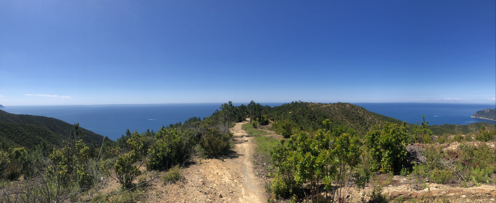
Via della Costa – A breathtaking hike along the Italian Riviera
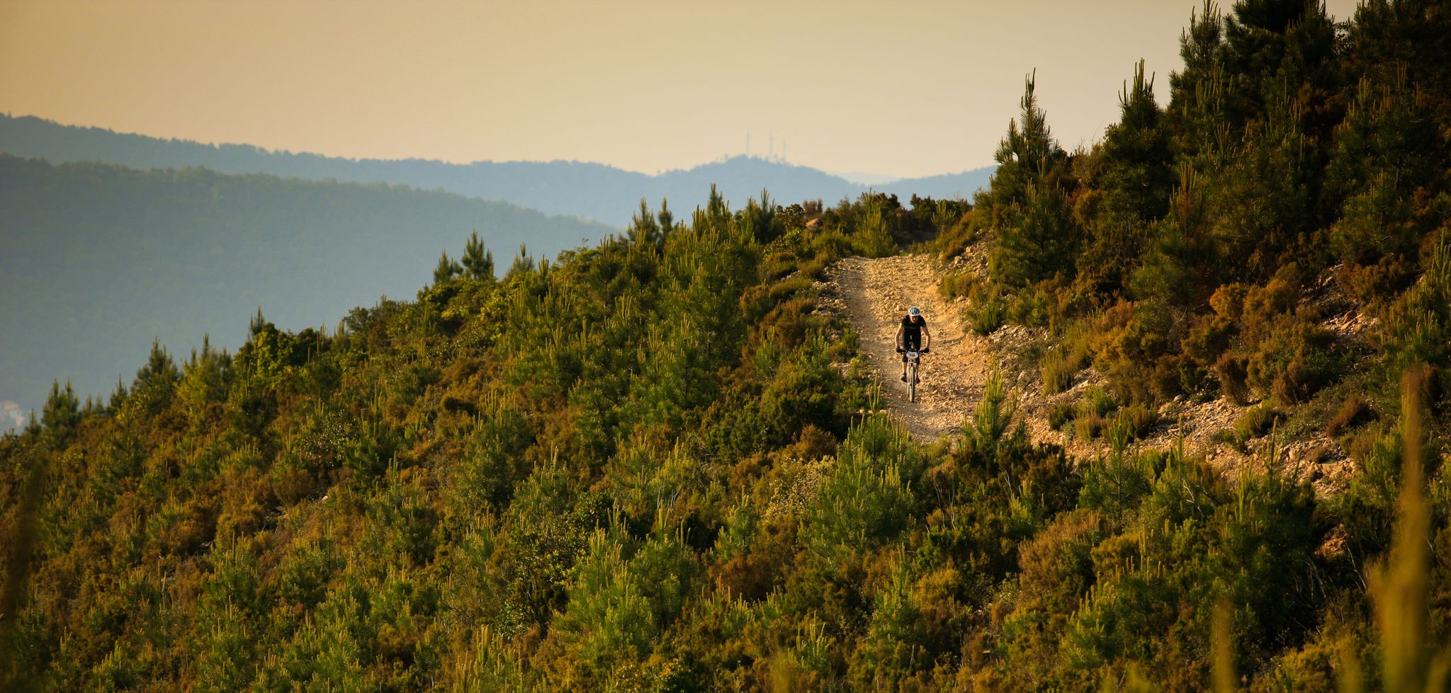
Steep cliffs and old military roads — Italy’s Liguria by mountain bike
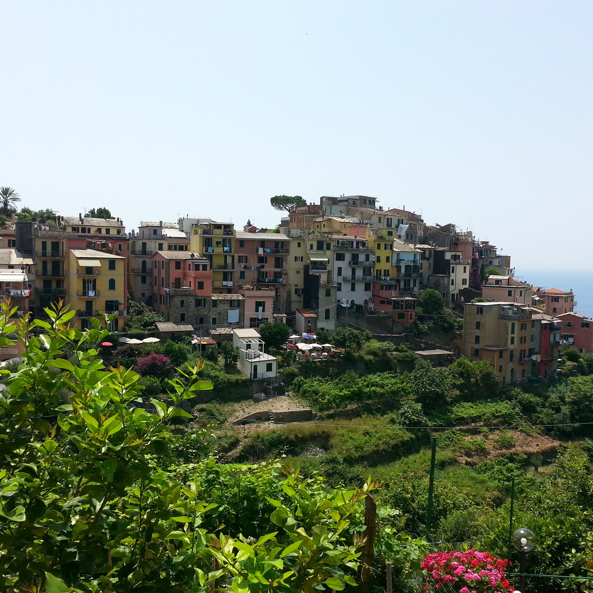
Hiking around Levanto
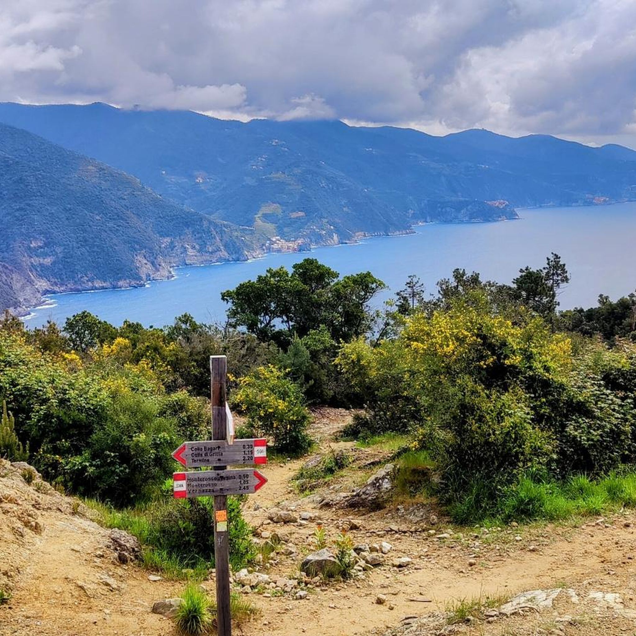
MTB Trails around Levanto
Cycling around Levanto
Road Cycling Routes around Levanto
Running Trails around Levanto

Mountain Hikes around Levanto
Gravel biking around Levanto


Tips from the Community

After the fork from Bracco towards Levanto..very fresh water..🤩
0
0

Refreshingly cold fountain water and a small shrine in homage to Marco Pantani; definitely worth a detour
0
0

Road panorama out of season with little traffic
1
0

One of several picturesque towns.
1
0

The closure of the Velva tunnel (for about six months) meant that almost the entire route to the Colle was asphalted. Now the descents are a spectacle. And now that they have reopened the tunnel the traffic is scarce and therefore.... make way for cyclists!!!!
1
0

locality La Baracca
1
0

89 steps that are worth it if you have a clear view. Old ruins with great impressions
2
0

Passo del Termine is located at 548 meters above sea level along the coastal road, with a spectacular view of the village of Monterosso, part of the Cinque Terre national park. The panoramas that follow one another towards La Spezia from here are exceptional.
1
0
Frequently Asked Questions
What makes Passo del Bracco a popular choice for cyclists and motorcyclists?
Passo del Bracco is highly regarded for its well-maintained asphalt, wide road, and a series of curves that offer a fantastic driving and riding experience. The climb from Sestri Levante is about 15 kilometers with moderate gradients, making it a long yet manageable ascent. It also provides panoramic views of the Ligurian coast before winding through a landscape of conifers and chestnut trees. Visitors often praise its pleasant climbs and fun descents, as noted in tips for Bracco Pass.
Are there mountain passes near Levanto that offer extensive panoramic views?
Yes, Mola Pass (650 m) is known for its expansive views. On clear days, you can see north to the French Maritime Alps and south to the Apuan Alps. Additionally, from Passo del Colletto, paths lead to Monte Rossola, which boasts spectacular 360-degree panoramic views of the Val di Vara, the Apuan Alps, the Ligurian coast, and even the Maritime Alps and France on a clear day.
What historical significance do the mountain passes around Levanto hold?
Passo del Bracco, situated on the historic Via Aurelia, served as a crucial connection between La Spezia, the Cinque Terre, Tigullio, and Genoa. Another pass with historical significance is Guaitarola Pass, which gained recognition for being part of the 2006 Giro d'Italia cycling race. A small fountain, the Marco Pantani Fountain, Guaitarola Pass, commemorates this event.
Are there good hiking opportunities near the mountain passes around Levanto?
Absolutely. The region offers several notable hiking trails. The Alta Via di Cinque Terre (AV5T), a long-distance trail, traverses the mountains high above the Cinque Terre, connecting Levanto to Portovenere and offering unparalleled views. Passo del Colletto also serves as a significant crossroads for various hiking routes, with paths diverging to the village of Lavaggiorosso and connecting to the Alta Via delle Cinque Terre. For more hiking options, you can explore the Hiking around Levanto guide.
What kind of terrain can I expect on the mountain passes and trails near Levanto?
The terrain varies, ranging from well-maintained asphalt roads popular with cyclists and motorcyclists, such as Passo del Bracco, to winding paths and stone steps on hiking trails. The landscape includes conifers, chestnut trees, holly oak forests, olive groves, vineyards, and Mediterranean vegetation, offering diverse natural beauty.
Are there any less crowded alternatives to popular routes near Levanto?
Yes, Mola Pass (650 m) serves as an alternative route to the parallel Passo del Bracco, often being much less busy while still offering great views. For hiking, the Alta Via di Cinque Terre (AV5T) provides a way to experience the rugged beauty of the region often away from the more crowded coastal paths.
What are some recommended cycling routes that incorporate mountain passes in the Levanto area?
The Panoramic Road from Levanto to Passo del Bracco is highly recommended for its wonderful views. The Ascent to Passo del Bracco from Sestri Levante is a 15-kilometer climb with moderate gradients, making it a popular and enjoyable route for cyclists. The region also offers various MTB trails; you can find more details in the MTB Trails around Levanto guide.
When is the best time to visit the mountain passes for clear views?
While specific seasonal recommendations are not detailed, the region research indicates that on 'clear days,' many passes, such as Mola Pass (650 m), offer expansive views reaching as far as the French Maritime Alps and the Apuan Alps. Similarly, the Alta Via di Cinque Terre provides views of Corsica and the Alps on exceptionally clear days, suggesting good visibility is key.
Are there any family-friendly spots or activities near the mountain passes?
The Marco Pantani Fountain, Guaitarola Pass is categorized as family-friendly, offering a point of interest with fresh spring water. While specific family activities directly on the passes are not detailed, the diverse landscape and moderate sections of some routes could be suitable for families looking for scenic drives or gentle walks.
What kind of natural features can I observe while exploring the mountain passes?
The mountain passes wind through diverse natural settings. You can expect to see landscapes of conifers and chestnut trees, particularly around Passo del Bracco. The hiking trails, like the Alta Via di Cinque Terre, feature holly oak forests, vibrant flowers, and aromatic shrubs. The coastal trails also showcase olive groves, vineyards, and Mediterranean vegetation, with intermittent glimpses of gulfs and inlets shaped by the Ligurian Sea.
What are some challenging hiking trails in the mountains near Levanto?
The Alta Via di Cinque Terre (AV5T) is a challenging long-distance trail, approximately 40 kilometers in length, with an overall elevation gain of about 1,300 meters. It reaches altitudes of up to 800 meters and is considered accessible to trained and experienced hikers. Another challenging option is the Sentiero Verde Azzurro - Punta Mesco Loop, which is rated as difficult. You can find more challenging routes in the Hiking around Levanto guide.
Most popular attractions around Levanto

Get inspired with the komoot mobile app


Explore more
See even more epic mountain passes by checking out these guides around Levanto:
