The best walks and hikes around Su Masu/Elmas
4.3
(540)
4,610
hikers
153
hikes
Hiking trails around Su Masu/Elmas offer diverse landscapes, from urban paths to historical sites and coastal features within the broader Sardinia region. The area is characterized by varied terrain, including ancient mining routes and geological formations. Hikers can explore a range of environments, from easy strolls through urban areas to more challenging treks in natural settings. The region provides opportunities to experience both cultural heritage and natural beauty.
Best hiking trails around Su Masu/Elmas
- The most popular hiking route is…
Last updated: July 8, 2026
5.0
(1)
16
hikers
Easy hike. Great for any fitness level. Easily-accessible paths. Suitable for all skill levels.
14
hikers
7.56km
02:02
100m
100m
Moderate hike. Good fitness required. Easily-accessible paths. Suitable for all skill levels.

Sign up for free
5.0
(1)
11
hikers
2.92km
00:50
70m
70m
Easy hike. Great for any fitness level. Easily-accessible paths. Suitable for all skill levels.
9
hikers
Moderate hike. Good fitness required. Easily-accessible paths. Suitable for all skill levels.
4.0
(2)
7
hikers
2.01km
00:34
50m
50m
Easy hike. Great for any fitness level. Easily-accessible paths. Suitable for all skill levels.
Get access to more routes and recommendations from other explorers.
Sign up for free
Already have an account?
Our route recommendations are based on thousands of hikes, rides, and runs completed by other people on komoot.
Start today with a free account
Your next adventure awaits.
Login or Signup
Tips from the Community

The old bastion was a defensive structure that was removed in the 19th century and converted into a neoclassical square. From there, you can enjoy another expansive view of Cagliari, as the viewing platform is located on the aforementioned hill in the old town. You can also easily reach the platform by elevator, avoiding the marble staircase. Also worth seeing on the old bastion is the triumphal arch, damaged in World War II but subsequently rebuilt.
0
1
Cagliari's Palazzo Civico, the seat of the Sardinian capital, rises like a bastion of white stone, elegant in its shapes and colors, a clear sail to the sea. It hasn't always stood where it stands today: at 145 Via Roma, or more precisely, it hasn't always been the seat of the city administration. Its original location was in the heart of Castello, in the upper, fortified part of the city, where it could be best defended: in Piazza Palazzo. It was the intuition of Ottone Bacaredda, the far-sighted mayor of a Cagliari that, although still in the 19th century, was already looking toward the next, to move the headquarters of the city's most important institution to a geographically opposite location: to Via Roma, in the Marina district, so popular but already striving for elegance, a bourgeois salon, overlooking the sea, facing outwards rather than protected from it as it had been until then.
4
0

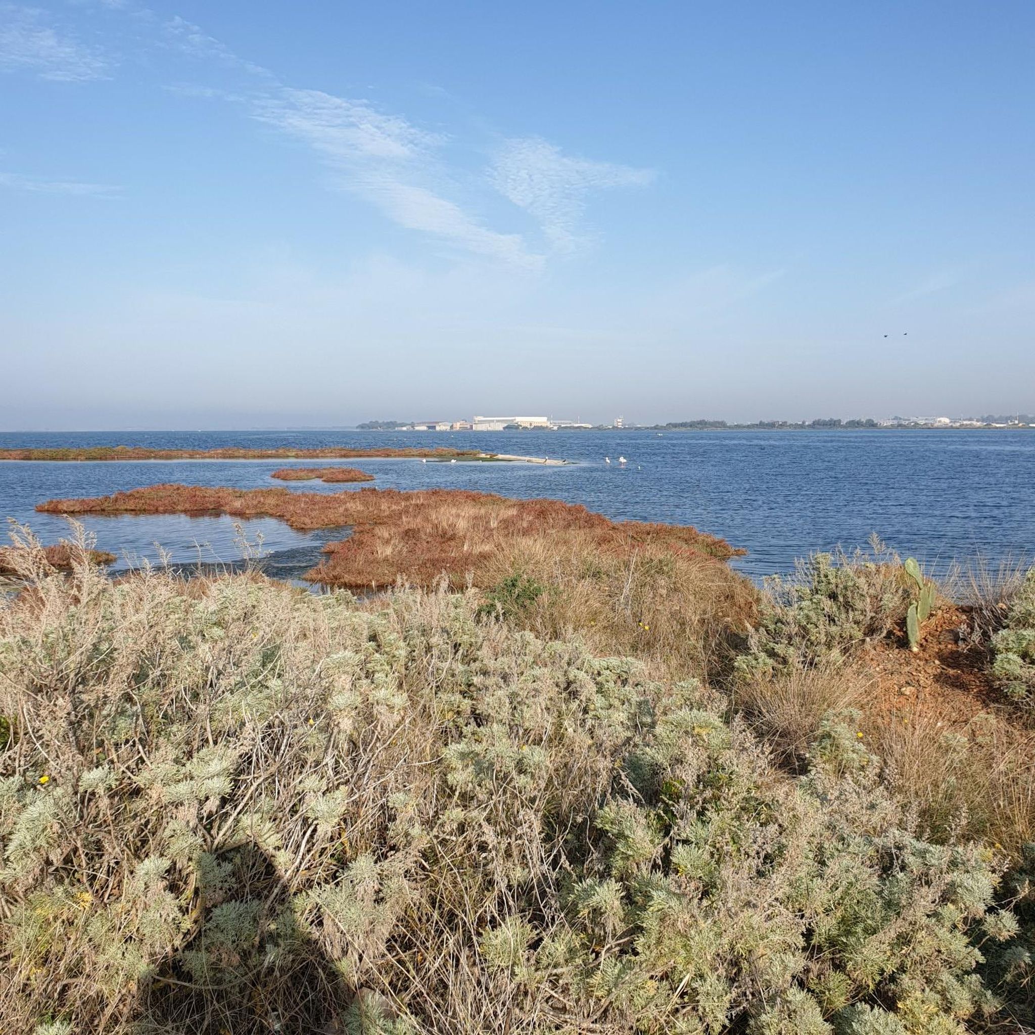
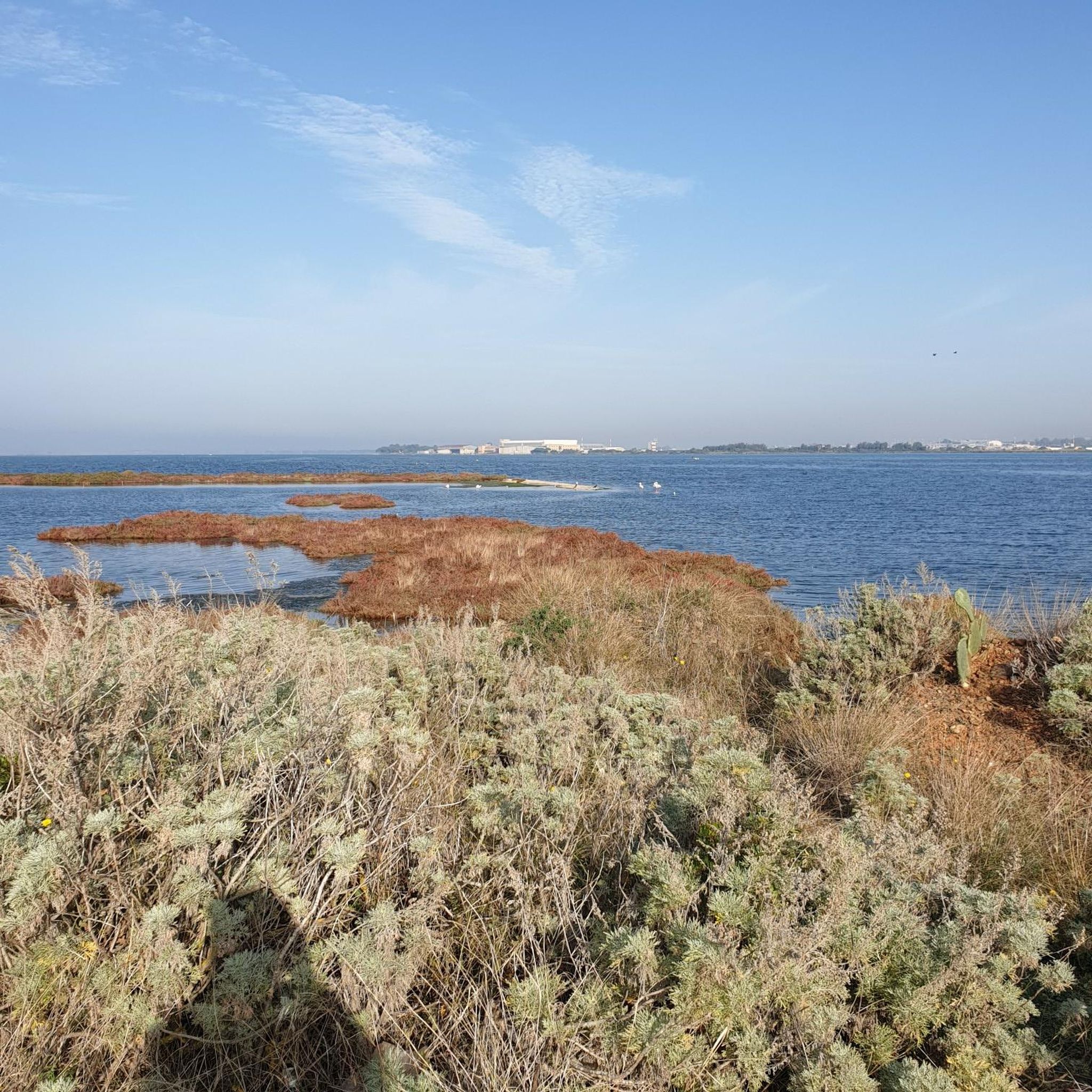
Panorama of the castle and 360 degree view of Cagliari and its wetlands
0
0

Close to the center of Cagliari
3
1
Municipal headquarters of the Sardinian capital
2
0

The Bastione di Saint Remy is one of Cagliari's most iconic landmarks. Constructed between 1896 and 1902, it was built on the ancient defensive walls of the city and named after the first Piedmontese Viceroy, Baron of Saint Remy. The structure boasts a magnificent neoclassical design, featuring white and yellow limestone columns with Corinthian capitals, and it includes a monumental double-ramped staircase leading up to the Umberto I Terrace. The terrace offers stunning panoramic views of the city and the surrounding sea, making it a popular spot for both tourists and locals. The underlying gallery, known as Passeggiata Coperta, has served various purposes over the years—from an elegant banquet hall to a refuge for displaced people during World War II. The Bastione was severely damaged during the Allied bombings in 1943, which also destroyed many other significant buildings in Cagliari. After the war, the Bastione was carefully restored and continues to be a vital cultural and exhibition space in the city today.
4
1
The Porto di Cagliari is a vibrant and historic port that serves as a crucial maritime hub in the Mediterranean. Located just 11 miles from the Gibraltar-Suez sea route, it is divided into two main areas: the historic port and the canal port. The historic port, with its 5,800-meter-long quay, handles commercial traffic, ro-ro (roll-on/roll-off) ships, and passenger/cruise ships, while the canal port, extending over 1,600 meters, offers five berths for commercial activities and also supports petrochemical/oil docks in the nearby Sarroch area. One interesting historical fact about the Porto di Cagliari is its strategic importance since ancient times. It has been a pivotal maritime gateway for various civilizations, including the Phoenicians, Romans, and Byzantines, who utilized its advantageous position for trade and military purposes. 🚢✨
2
0
Frequently Asked Questions
How many hiking trails are available around Su Masu/Elmas?
There are over 140 hiking trails around Su Masu/Elmas, offering a wide variety of experiences. This includes 95 easy routes, 47 moderate trails, and 7 more challenging options for experienced hikers.
What is the best time of year to go hiking in Su Masu/Elmas?
The region of Sardinia, including Su Masu/Elmas, is ideal for hiking during the spring (April-May) and autumn (September-October) months. During these periods, the weather is typically mild and pleasant, avoiding the intense heat of summer and the cooler, wetter conditions of winter. This allows for comfortable exploration of both coastal and inland trails.
What interesting landmarks or natural features can I explore on hikes around Su Masu/Elmas?
Hikes in the area can lead you to a variety of fascinating sites. You can explore historical landmarks such as the Bastion of Saint Remy or the Castello district in Cagliari. For nature lovers, the Molentargius–Saline Regional Natural Park offers opportunities to see flamingos at the Molentargius Salt Pans, and the Elmas Lagoon is known for beautiful sunsets. Further afield, the dramatic coastal scenery of Masua features the impressive Pan di Zucchero sea stack and the historical mining port of Porto Flavia.
Are there any circular hiking routes in the area?
Yes, many routes around Su Masu/Elmas are designed as loops. For example, you can take the San Michele Castle loop from Pirri, an easy 1.9-mile path offering views of historical castle grounds. Another option is the San Michele Castle loop from Su Planu, a moderate 4.7-mile trail through urban and historical landscapes.
Are there family-friendly hiking options around Su Masu/Elmas?
Absolutely. Many of the 95 easy routes are suitable for families. Trails like the San Michele Castle loop from Pirri are short and relatively flat, making them enjoyable for all ages. These routes often explore urban areas or historical sites, providing points of interest for children.
Can I find historical sites along the hiking trails?
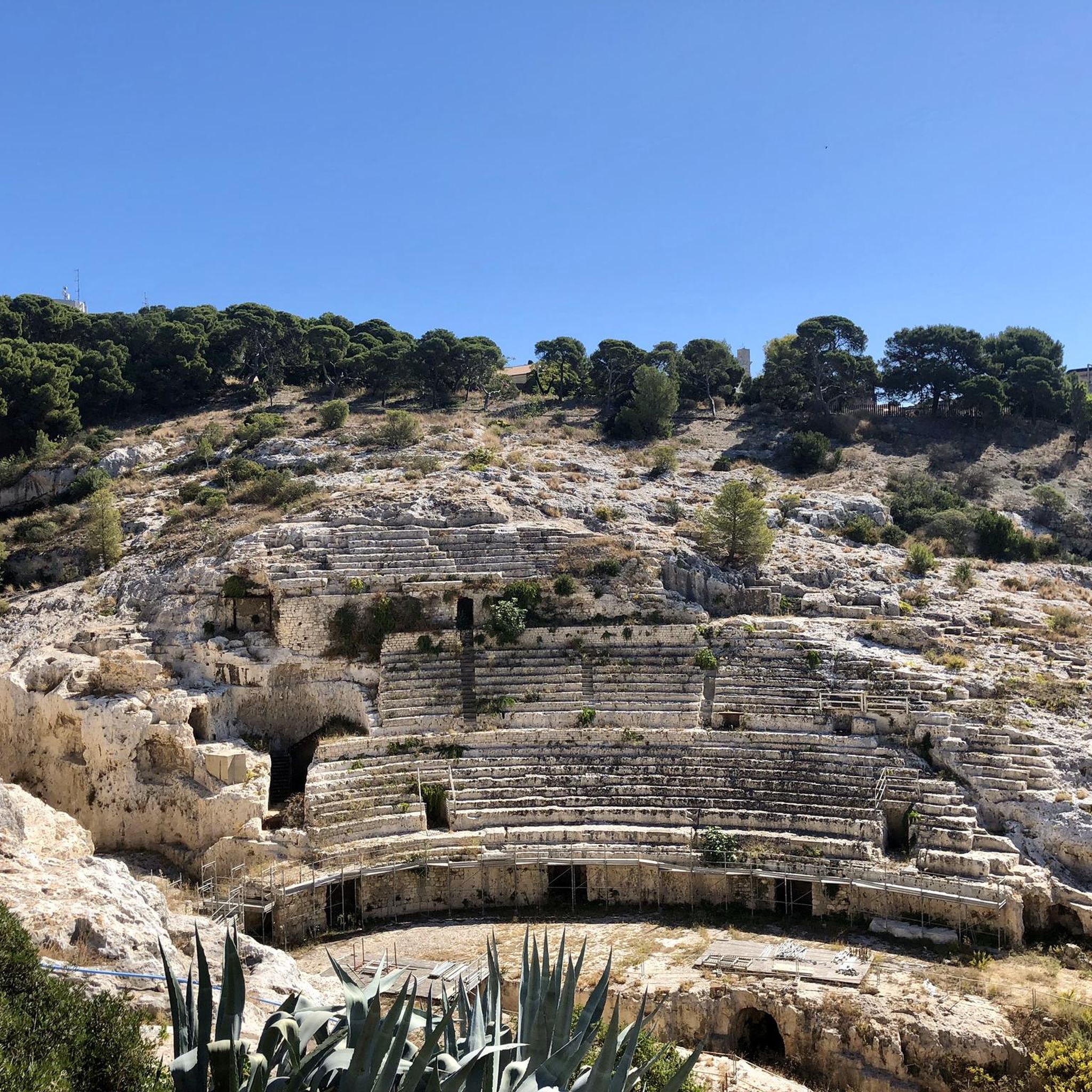
Yes, the region is rich in history. Several trails incorporate historical elements, such as the San Pancrazio Tower – Bastion of Saint Remy loop from Is Mirrionis. The broader Sardinian context also includes ancient mining paths like the Cammino Minerario Di Santa Barbara and archaeological sites such as Su Tempiesu, offering a journey through thousands of years of history.
What do other hikers enjoy most about hiking in Su Masu/Elmas?
The hiking trails around Su Masu/Elmas are highly rated by the komoot community, with an average score of 4.5 stars from over 600 reviews. Hikers frequently praise the diverse landscapes, which range from urban paths to historical sites and natural coastal features, offering a unique blend of cultural heritage and natural beauty.
Are there any coastal hikes with scenic views?
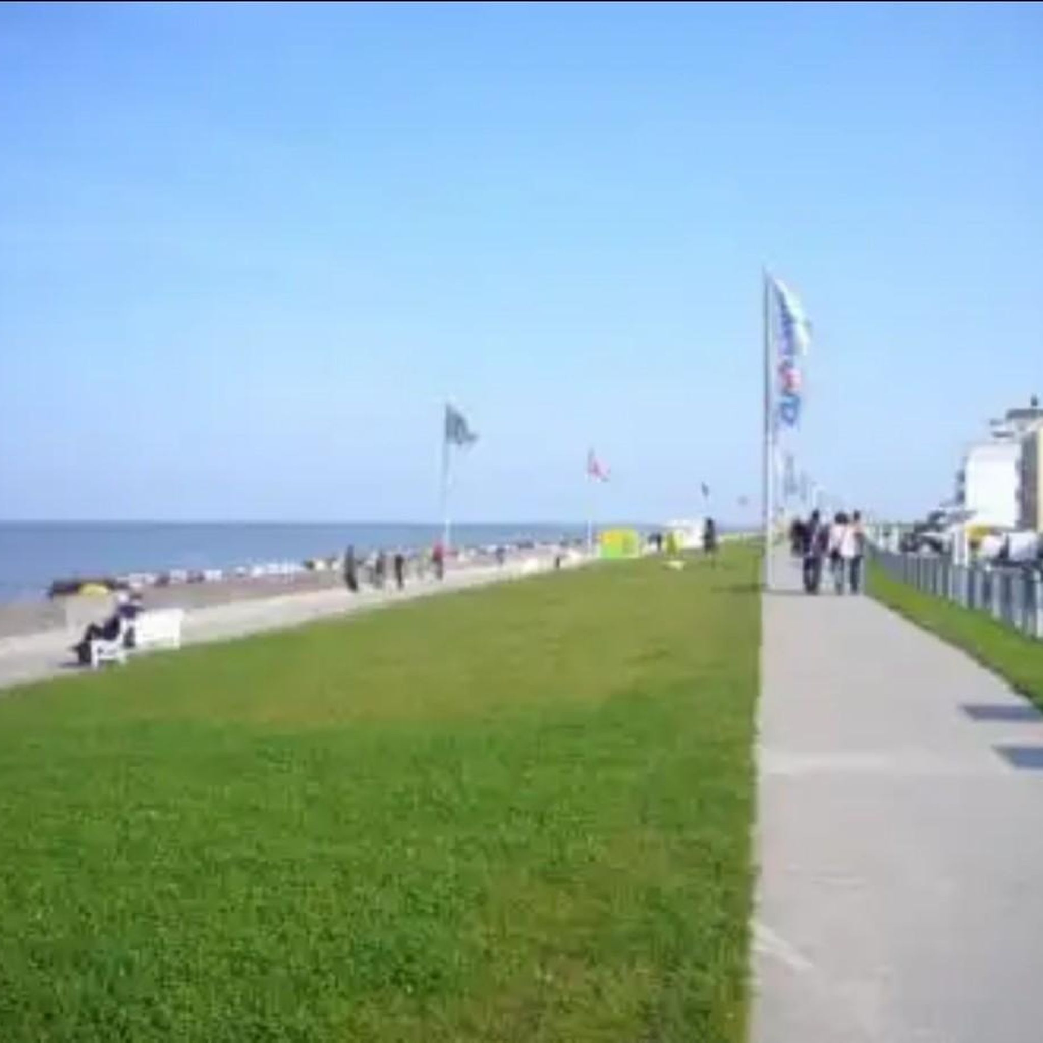
While Su Masu/Elmas itself is more inland, the broader region of Sardinia offers stunning coastal hikes. The Masua area, for instance, is renowned for its dramatic coastal scenery, including the iconic Pan di Zucchero sea stack and the crystal-clear waters of Masua Beach. The west coast of Sardinia, in general, provides diverse natural backdrops for scenic walks and beautiful sunsets over the sea.
Are dogs allowed on the hiking trails in Su Masu/Elmas?
Generally, dogs are welcome on many hiking trails in Sardinia, especially in natural areas, provided they are kept on a leash and owners clean up after them. However, specific rules may apply in protected areas like the Molentargius–Saline Regional Natural Park. It's always best to check local regulations for any specific trail or park you plan to visit.
Are there opportunities for wildlife spotting during hikes?
Yes, particularly in natural reserves. The Molentargius–Saline Regional Natural Park is a significant wetland area known for its birdlife, including flamingos at the Molentargius Salt Pans. Hikers might also encounter various Mediterranean species in the more natural and less urbanized sections of trails.
Where can I find parking for hiking trails in Su Masu/Elmas?
For trails starting within urban areas or near historical sites, parking is often available in designated public parking lots or on street parking, similar to general city parking. For routes that venture into more natural or less developed areas, it's advisable to check the specific route details on komoot, as some trailheads may have small, informal parking areas or require parking in nearby villages.
Are there cafes or places to eat near the hiking trails?
Given that many trails around Su Masu/Elmas traverse or begin in urban and suburban areas, you will find cafes, restaurants, and shops readily available, especially near the starting points of routes like the Drinking Water Fountain loop from National Institute of Statistics or those around San Michele Castle. For trails further afield in natural settings, it's recommended to carry your own provisions.
Most popular routes around Su Masu/Elmas
Most popular attractions around Su Masu/Elmas

Get inspired with the komoot mobile app


Explore more
Browse the best Hikes in other regions.
