The best running trails around Cartignano
4.6
(39)
1,413
runners
171
runs
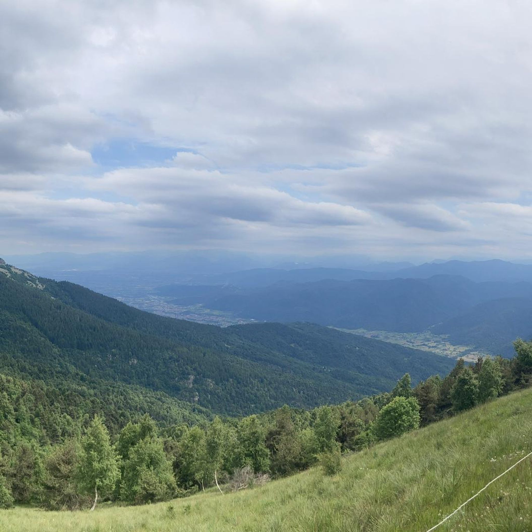
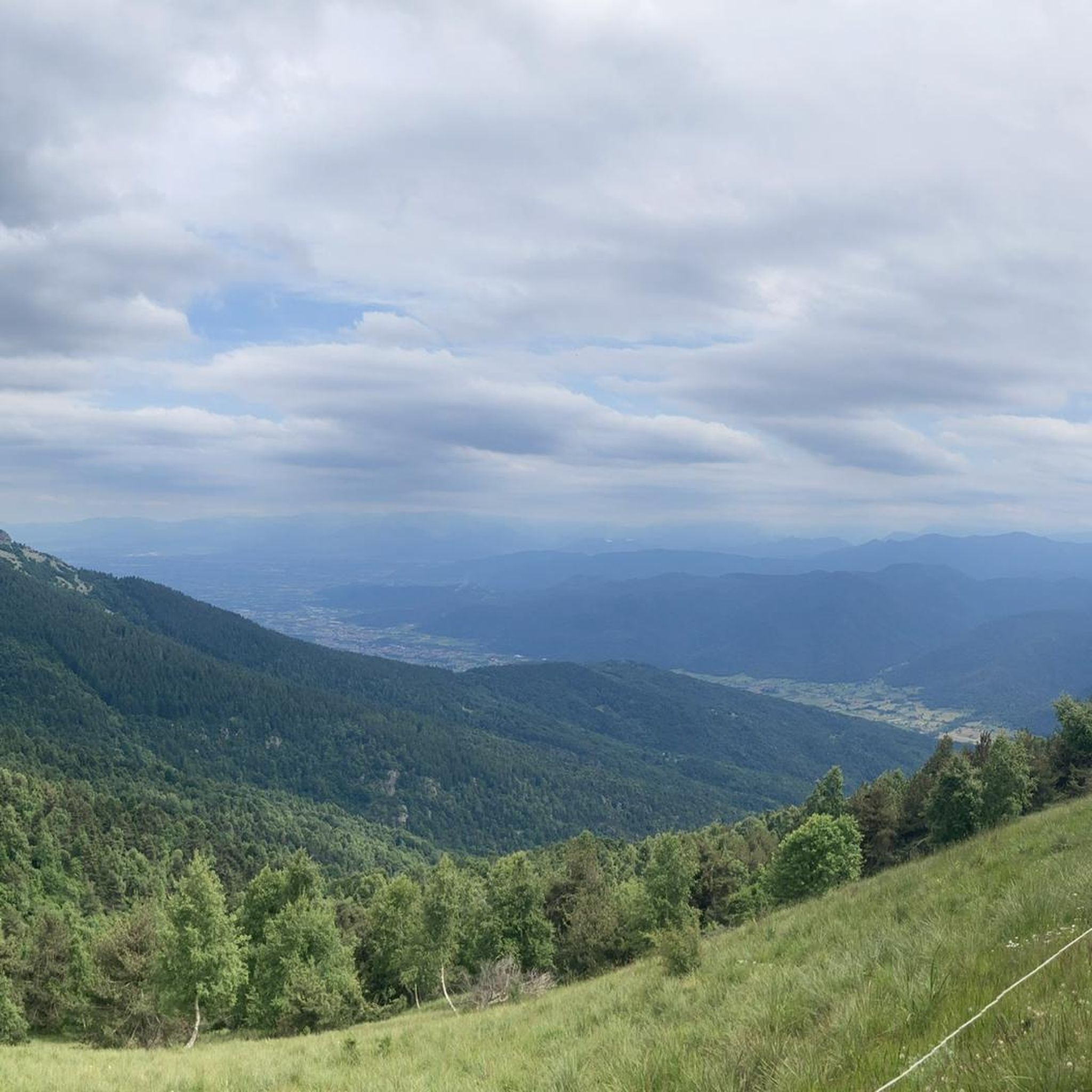
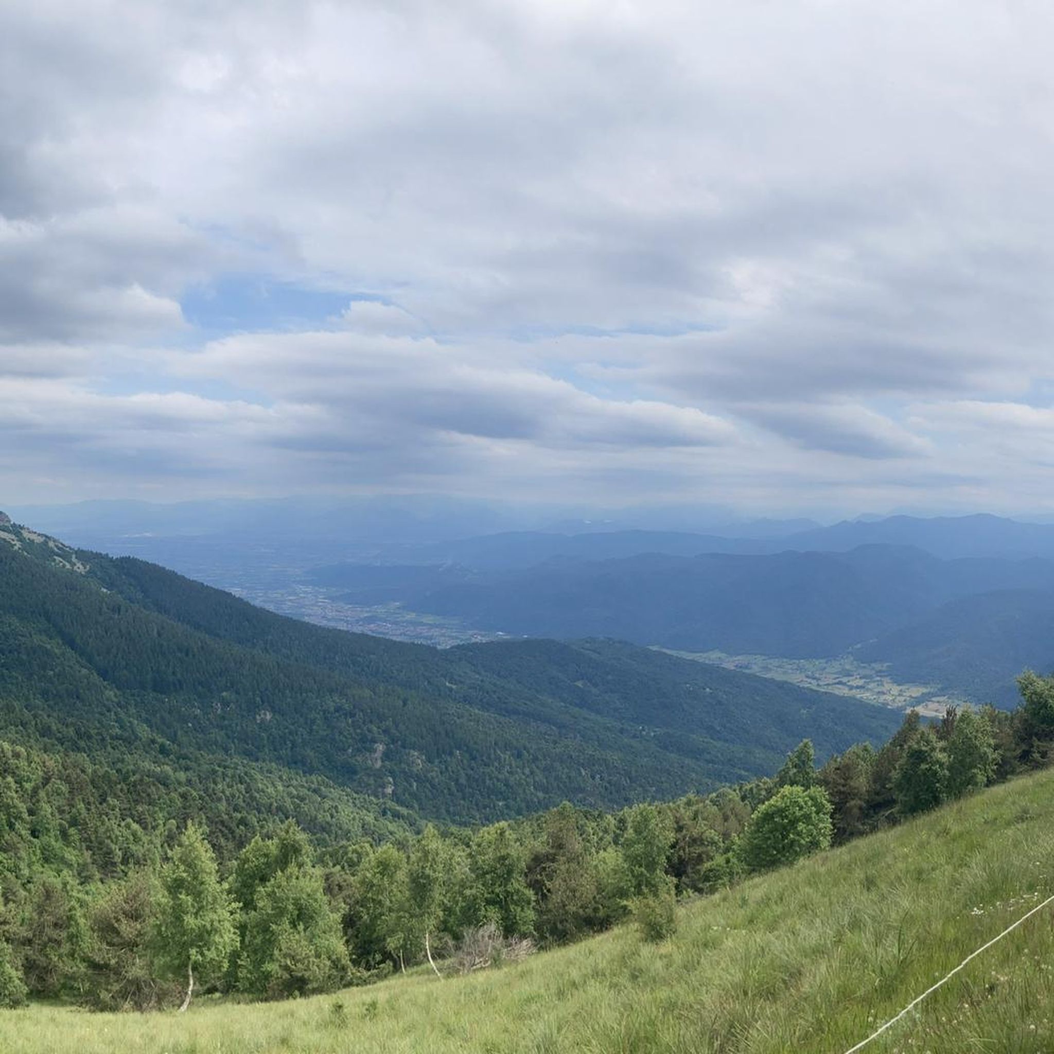
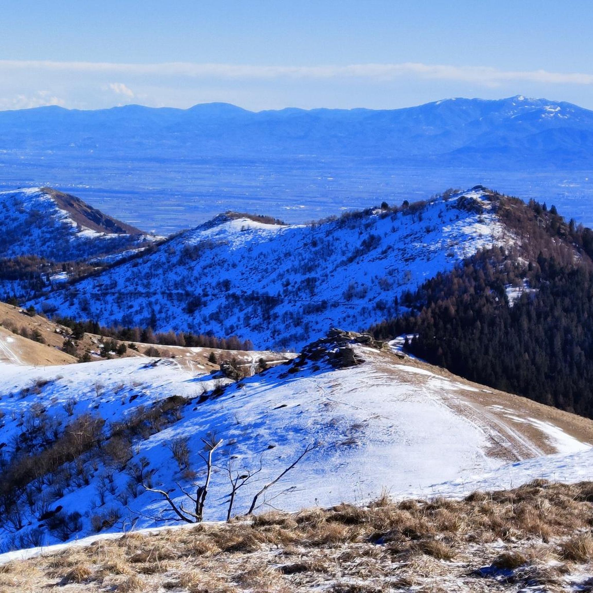
Jogging routes around Cartignano are predominantly characterized by mountainous terrain, featuring significant elevation changes and forested areas. The region offers a network of trails that traverse valleys and ascend to various peaks, providing a challenging environment for runners. The landscape is defined by its natural, undeveloped character, with routes often winding through dense woodlands and along mountain slopes.
Best jogging routes around Cartignano
- The most popular jogging route is Colle di Melle – Monte della Ciabra loop from Sant'Anna,…
Last updated: July 8, 2026
39
runners
21.1km
03:30
1,070m
1,070m
Hard run. Very good fitness required. Sure-footedness, sturdy shoes and alpine experience required.
13
runners
16.4km
01:48
220m
220m
Hard run. Very good fitness required. Mostly paved surfaces. Suitable for all skill levels.

Sign up for free
16
runners
12.8km
01:45
590m
590m
Hard run. Very good fitness required. Mostly paved surfaces. Suitable for all skill levels.
2.0
(1)
11
runners
29.3km
04:23
1,420m
1,420m
Hard run. Very good fitness required. Sure-footedness, sturdy shoes and alpine experience required.
15
runners
Hard run. Very good fitness required. Mostly paved surfaces. Suitable for all skill levels.
Get access to more routes and recommendations from other explorers.
Sign up for free
Already have an account?
Our route recommendations are based on thousands of hikes, rides, and runs completed by other people on komoot.
Start today with a free account
Your next adventure awaits.
Login or Signup
Tips from the Community

Main church of the village of San Damiano Macra, clearly visible on the provincial road and opposite the square and the old covered market shed. Impossible to miss.
0
0


The Sanctuary of Sant'Anna di Roccabruna is closely linked to the partisan history of the Maira Valley. During the Resistance, the village of Sant'Anna was a constant garrison for the 104th Garibaldi Brigade, thanks to its strategic position that offered a panoramic view of the Dronero plain. Today, the sanctuary is the starting point for numerous paths that allow you to retrace the local history and the events of the partisan struggle.
1
0
The Sanctuary of Sant'Anna di Roccabruna is closely linked to the partisan history of the Maira Valley. During the Resistance, the village of Sant'Anna was a constant garrison for the 104th Garibaldi Brigade, thanks to its strategic position that offered a panoramic view of the Dronero plain. Today, the sanctuary is the starting point for numerous paths that allow you to retrace the local history and the events of the partisan struggle.
1
0
The Strada dei Cannoni is an iconic military road, built in the 18th century on the watershed between the Maira Valley and the Varaita Valley. The intent was to facilitate the passage of men and military vehicles, but - despite its name - it was never used for military purposes and today remains an exciting route for mountain bike lovers. Here, in fact, you can pedal with the fresh air caressing your face and letting yourself be enchanted by the magnificent panorama that ranges from the Maritime Alps to the Cottian Alps.
2
0
The Sanctuary of Sant'Anna di Roccabruna is closely linked to the partisan history of the Maira Valley. During the Resistance, the village of Sant'Anna was a constant garrison for the 104th Garibaldi Brigade, thanks to its strategic position that offered a panoramic view of the Dronero plain. Today, the sanctuary is the starting point for numerous paths that allow you to retrace the local history and the events of the partisan struggle.
1
0

Beautiful sanctuary with ample parking. Several signs indicate all the trails that can be walked nearby.
0
0
Frequently Asked Questions
What kind of terrain can I expect on running routes around Cartignano?
Running routes in Cartignano are primarily characterized by mountainous terrain. You'll encounter significant elevation changes, dense forested areas, and trails winding along mountain slopes and through valleys. The landscape is largely natural and undeveloped, offering a challenging yet rewarding experience for runners.
Are there any easy running paths available in Cartignano?
While many routes in Cartignano are rated as difficult due to the mountainous terrain, there are a few options for easier runs. The region offers 7 routes classified as easy, providing less strenuous alternatives for those looking for a gentler pace or shorter distances.
What do other runners say about the trails in Cartignano?
The running trails in Cartignano are highly regarded by the komoot community, boasting an average rating of 4.7 stars from 31 reviews. Over 1000 runners have explored the varied terrain, often praising the challenging ascents, panoramic views, and the natural, undeveloped character of the routes.
Are there any circular running routes in Cartignano?
Yes, many of the running routes in Cartignano are designed as loops, allowing you to start and finish at the same point. Examples include the challenging Colle di Melle – Monte della Ciabra loop from Sant'Anna, which covers 20.8 km, or the slightly shorter Monte della Ciabra loop from Sant'Anna at 10.2 km.
What are some of the longer, more challenging running routes in the area?
For experienced runners seeking a significant challenge, Cartignano offers several long and difficult routes. The Colle di Melle loop from San Damiano Macra is a substantial 28.8 km trail with considerable elevation gain, typically taking over 4 hours to complete. Another demanding option is the Mount Roccerè – Valmala Pass loop from Sant'Anna, an 18.8 km path known for its panoramic high-altitude views.
Can I find any shorter running trails for a quick workout?
Absolutely. If you're looking for a shorter run, the Fun trail in the woods loop from San Damiano Macra is a great option. This route is approximately 6.8 km long and offers a good workout through forested areas, even though it's still rated as difficult due to the terrain.
What kind of sights or landmarks can I see while running in Cartignano?
The region around Cartignano offers a mix of natural beauty and historical points of interest. You might encounter stunning viewpoints like Liretta Pass or the View from Castello di Montemale. There are also several historic castles such as Berardi Castle and Castel Savio that add a cultural dimension to your run.
Are there any mountain passes accessible from the running routes?
Yes, the mountainous landscape means you can incorporate several passes into your runs. Notable passes in the vicinity include Birrone Pass and Priest Pass. These often provide challenging climbs and rewarding views.
How many running routes are available in total around Cartignano?
Cartignano offers a comprehensive network of over 130 running routes. This extensive selection ensures a wide variety of options for different fitness levels and preferences, from shorter loops to long-distance mountain challenges.
What is the typical elevation gain on running trails in Cartignano?
Given the mountainous nature of the region, runners in Cartignano should expect significant elevation gains. Many routes feature ascents well over 500 meters, with some, like the Colle di Melle loop from San Damiano Macra, involving over 1400 meters of climbing, making them quite demanding.
Is Cartignano a good destination for advanced runners?
Absolutely. With 83 routes classified as difficult, Cartignano is an excellent destination for advanced runners. The challenging mountainous terrain, significant elevation changes, and long distances provide ample opportunities for intense training and endurance building.
Are there any specific trails or paths known for their scenic beauty?
Many trails in Cartignano offer breathtaking scenery, particularly those that ascend to higher altitudes. Routes like the Mount Roccerè – Valmala Pass loop from Sant'Anna are renowned for their panoramic views across the high-altitude landscapes, making them popular choices for those seeking scenic beauty.
Most popular routes around Cartignano
Most popular attractions around Cartignano

Get inspired with the komoot mobile app


Explore more
Browse the best Running Trails & Routes in other regions.
