The best road cycling routes around Thallwitz
4.6
(275)
2,830
riders
397
rides
Road cycling routes around Thallwitz are characterized by diverse landscapes within the Porphyry Land Geopark. The region features scenic floodplain landscapes and the Mulde River, providing generally flat and picturesque routes. The nearby Hohburg Mountains offer varied terrain, including some climbs for road cyclists seeking more challenging options. Thallwitz is situated on the Mulde Cycle Path, which offers well-maintained surfaces suitable for road bikes.
Best road cycling routes around Thallwitz
- The most popular road cycling route is Mulde River –…
Last updated: November 1, 2026
4.3
(3)
30
riders
34.9km
01:29
100m
100m
Moderate road ride. Some segments of this route may be unpaved and difficult to ride.
4.0
(1)
29
riders
62.8km
02:29
150m
150m
Moderate road ride. Good fitness required. Mostly well-paved surfaces and easy to ride.

5.0
(2)
26
riders
47.9km
01:53
110m
110m
Easy road ride. Mostly well-paved surfaces and easy to ride.
27
riders
Moderate road ride. Some segments of this route may be unpaved and difficult to ride.
5.0
(3)
22
riders
66.0km
02:38
180m
180m
Moderate road ride. Good fitness required. Some segments of this route may be unpaved and difficult to ride.
Get access to more routes and recommendations from other explorers.
Already have an account?
Our route recommendations are based on thousands of hikes, rides, and runs completed by other people on komoot.
Start today with a free account
Your next adventure awaits.
Tips from the Community

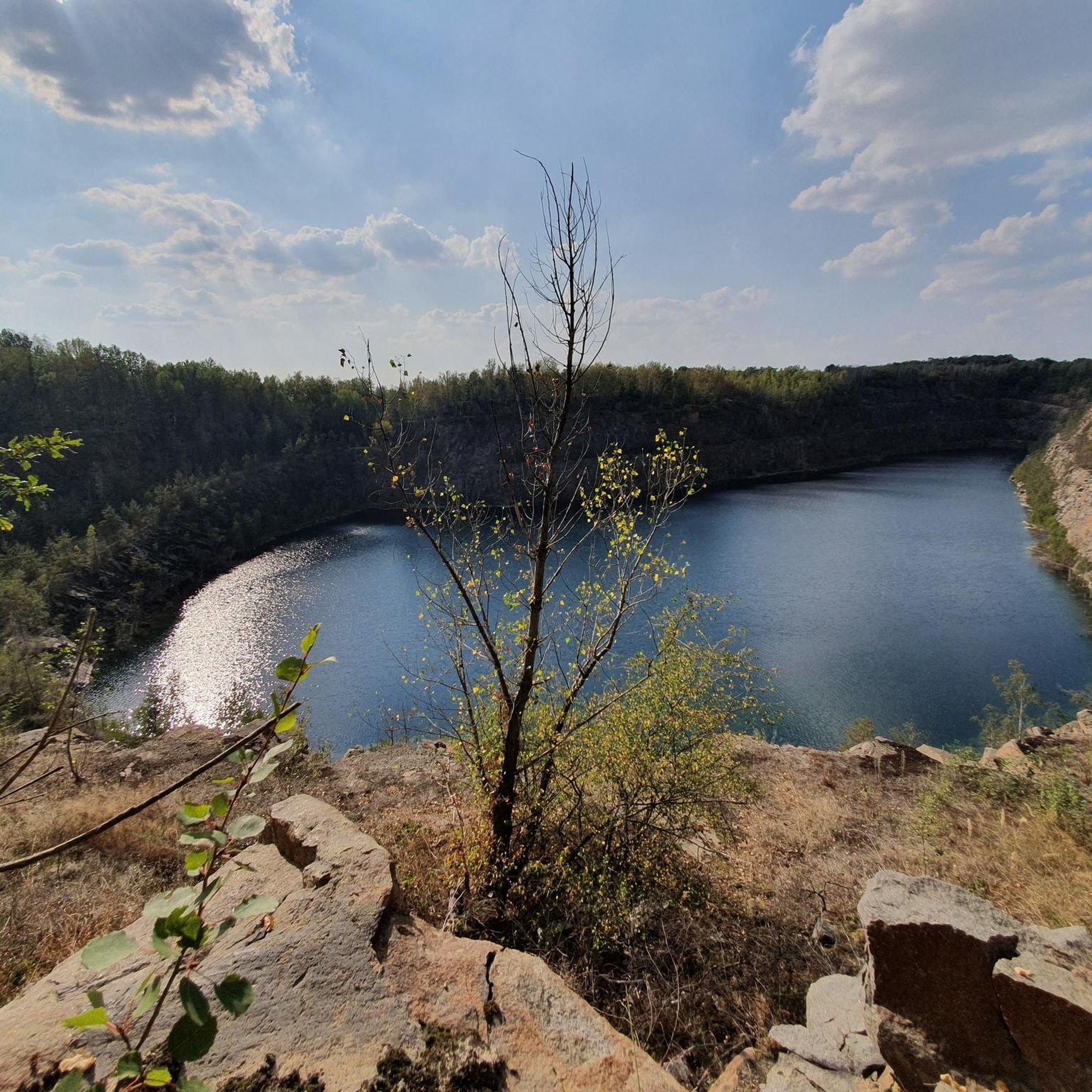
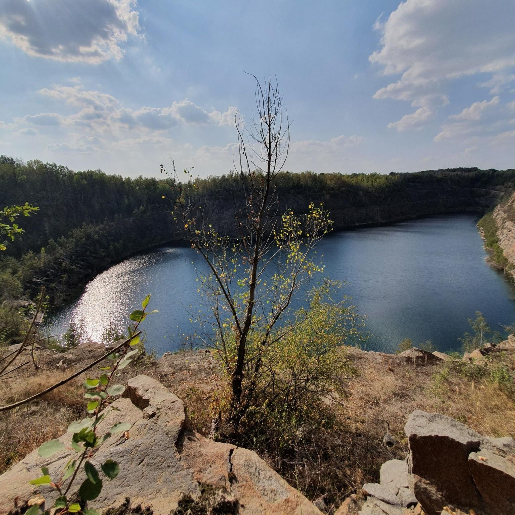
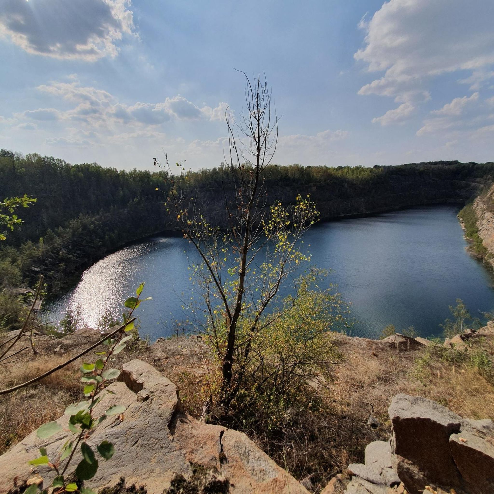
If you want to spend a relaxing day by the lake, it is best to visit the Schladitz Lake, between Leipzig and Delitzsch. Both experienced hikers and those seeking relaxation will find suitable trails for them. Lace up your hiking boots and discover the beauty of the Schladitz Lake on your tours!
0
0

You can't expect crystal clear bathing water in this moorland area.
6
0

wonderfully quiet and tree-lined
0
0
great surface through great nature!
0
0

The Mulde flows exclusively in the North German Plain, initially through the Saxon Uplands, and passes Grimma, Nerchau, and Trebsen. Approximately near Wurzen, on the western edge of which it flows, the Mulde reaches the Elbe-Mulde Lowland. It then flows through Eilenburg and Bad Düben and shortly thereafter leaves Saxon territory. The remaining course to its mouth is covered by the Mulde in Saxony-Anhalt. Further downstream, until 1975, the Mulde flowed west of the two places Pouch and Friedersdorf in the area of today's Goitzschesee. Since then, it has been dammed up east of the two places in the Muldestausee – a former open-cast mine. Subsequently, the Mulde flows past Muldenstein, Jeßnitz, Raguhn, and Dessau and flows into the Elbe between Dessau and Roßlau after 147 km.[2] The revitalization project "Wilde Mulde" for the lower course in Dessau was recognized in November 2018 as an official project of the UN Decade of Biodiversity.[11][12] Source https://de.wikipedia.org/wiki/Mulde_(Fluss)#Hochwasser
4
0
Although the confluence of the two source rivers takes place at approximately half the total length of the Mulde, the Freiberger Mulde and Zwickauer Mulde already contribute over 80% of the total water volume. This is due to the shape of the catchment area, which is very wide in the Ore Mountains and narrows towards the Elbe, and also to the higher precipitation in the mountains and simultaneously higher proportion of runoff water. The shape of the catchment areas also means that the longer Zwickauer Mulde is the smaller of the two source rivers at the confluence. The hydrologically strongly dominating main branch of the Freiberger Mulde river system is the Zschopau. In its upper catchment area, it is again a named tributary, the Flöha, that contributes the larger water flow and is thus the actual source river of the Mulde. Along this main flow path, the Mulde is approximately 267 kilometers long, and along the longest flow path (Zwickauer Mulde) a good 314 kilometers.[3] The Mulde catchment area shows total drops of 600 to 900 meters for many important flow paths, so that exceptionally high flow velocities prevail here for Northern Germany. The Mulde is sometimes even referred to as the fastest flowing river in Central Europe.[10] Source https://de.wikipedia.org/wiki/Mulde_(Fluss)#Hochwasser
4
0
The Mulde, also known as Vereinte Mulde or Vereinigte Mulde, is a left-hand, non-navigable tributary of the Elbe. It is formed southeast of Leipzig near Sermuth (Saxony) by the confluence of two large headwaters, the longer Zwickauer Mulde and the Freiberger Mulde, which drains a larger catchment area with a greater discharge. The river's catchment area covers large parts of Saxony and, in particular, by far the largest part of the northern slopes of the Ore Mountains. With a water flow of approximately 73 m³/s at its mouth[8], it is the fourth largest tributary of the Elbe. The old name for the Mulde, Milda, is translated by linguists as "the water-rich one".[9] The word component Mel, referring to grinding, is sometimes associated with the name in view of the large number of mills previously operated on the river, which overlooks the fact that river names represent the oldest, often Slavic or Celtic, geographical name layer.
4
0
In the western facade half facing the market square is the round-arched entrance portal with its rusticated surround. It is preceded by a terrace, which is accessible via a wide side staircase. The stair landing, clad in Rochlitzer Porphyr, has an upward-closing cornice. The entrance to the Ratskeller is located west, below the terrace. The plinth level is provided with a grey rendered groove, which is interrupted by the external staircase and partly by the bay window. A plinth cornice forms the separation to the ground and first floors. The windows on these floors have a repeating profiled surround. In the ground floor, on the outer western facade, there is a bay window supported by two consoles. The bay window, framed by ashlar, is crowned by the Eilenburg town coat of arms, which in turn is flanked by two volutes and bordered at the top by a triangular pediment. Between the first and second floors runs a string course, which, as a former roof cornice, marks the height of the roof edge of the predecessor building. This string course offsets the dormer with a round-arched gable, which projects from the second floor. In this projection, there is a small balcony, and above it – separated again by a cornice – the town hall clock. The window surrounds of the second floor, which was added in 1949, are based on the design of the lower floors, but are not further profiled. The facade is finished by a massive roof cornice, which is interrupted by the projecting dormer. The high roof has four small shed dormers facing the market square. The high gables were rebuilt after the war, preserving their Renaissance character. They have a horizontal division with two cornices. Pilasters, which on the outside in the tapering gable rise to a capital crowned by a sphere, represent the vertical division. On the rear facade facing Nikolaiplatz, there is a single-storey extension from the reconstruction period. This is designed so that a small courtyard is created behind the town hall, which is accessible from Nikolaiplatz via a gate entrance.
4
0
Frequently Asked Questions
How many road cycling routes are available around Thallwitz?
There are over 400 road cycling routes around Thallwitz, offering a wide variety of options for different skill levels and preferences. The komoot community has explored these routes over 3,000 times.
What kind of terrain can I expect on road cycling routes near Thallwitz?
The region around Thallwitz, situated within the Porphyry Land Geopark, offers diverse terrain. You'll find scenic floodplain landscapes and routes along the Mulde River, which are generally flat and picturesque. For those seeking more challenge, the nearby Hohburg Mountains provide varied terrain with some climbs.
Are there routes suitable for beginners or less experienced road cyclists?
Yes, Thallwitz offers a good selection of routes for beginners. Approximately 130 routes are classified as easy, providing gentle rides through the scenic Muldental. An example of an easy route is the Görschlitz Village Church – Eilenburg–Eisenberg Road loop from Eilenburg Ost Bk Hp, which takes you through rural landscapes.
What historical sites or landmarks can I see along road cycling routes in Thallwitz?
Many routes offer opportunities to explore historical sites. You can pass by impressive structures like Thallwitz Castle or the Ritterburg Ruin Machern. Other castles in the vicinity include Machern Castle and Püchau Castle, which can be incorporated into your rides.
Are there any natural attractions to explore while road cycling?
Absolutely. The region is rich in natural beauty. You can cycle along the Mulde River, through floodplain landscapes, and discover unique geological formations within the Porphyry Land Geopark. Highlights include the Schwarzer Bruch Quarry Lake and the Mulde Weir Kollau.
Is the Mulde Cycle Path suitable for road bikes?
Yes, the Mulde Cycle Path, which runs through Thallwitz, is well-maintained and features perfectly paved sections, making it ideal for road cycling. It offers pleasant rides along the banks of the Mulde River through the scenic Muldental.
Are there any circular road cycling routes around Thallwitz?
Yes, many routes around Thallwitz are designed as loops, allowing you to start and end at the same point. For example, the popular Mulde River – Mulde Bridge, Eilenburg loop from Eilenburg is a moderate 38.8-mile route that follows the Mulde River.
What do other road cyclists say about the routes in Thallwitz?
The road cycling routes around Thallwitz are highly rated by the komoot community, with an average score of 4.6 out of 5 stars from over 270 reviews. Cyclists often praise the diverse landscapes, well-maintained paths, and the blend of natural scenery with cultural points of interest.
Can I find longer, more challenging road cycling routes in the area?
Yes, for those seeking longer and more challenging rides, Thallwitz offers options that extend into the Hohburg Mountains or cover greater distances. The Mulde Bridge, Eilenburg – Through the Dahlener Heide loop from Eilenburg is a moderate 50.9-mile route with significant elevation gain, providing a good challenge.
What is a good route for experiencing the Muldental and local landmarks?
A great option is the Mulde Bridge, Eilenburg – View of Eilenburg Castle loop from Groitzsch. This moderate 26-mile path provides beautiful views of Eilenburg Castle and the surrounding Muldental, offering a scenic and culturally rich ride.
Are there routes that include lakes or water features?
Yes, some routes incorporate local lakes. For instance, the Lake Schladitz – Schladitzer Lake Loop loop from Eilenburg is a moderate 41-mile route that takes you around Lake Schladitz, offering pleasant lakeside cycling.
What is the best time of year for road cycling in Thallwitz?
Spring and autumn generally offer the most pleasant conditions for road cycling in Thallwitz, with milder temperatures and beautiful scenery. Summer can also be excellent, though it's advisable to start earlier in the day to avoid the midday heat. Winter cycling is possible, but routes may be affected by snow or ice.
Most popular attractions around Thallwitz

Get inspired with the komoot mobile app


Explore more
Browse the best Road cycling routes in other regions.
