The best walks and hikes around Comano
4.6
(388)
1,691
hikers
45
hikes
Hiking around Comano offers access to diverse landscapes situated between the Brenta Dolomites and Lake Garda in Trentino, Italy. The region is characterized by Alpine meadows, dense woods, and expansive pastures, forming part of the Adamello Brenta Natural Park. Hikers can explore varied terrain ranging from lower-altitude forests to higher rocky areas, with several lakes and rivers contributing to the natural features. Monte Casale provides panoramic views of the surrounding mountains and Lake Garda.
Best hiking trails around Comano
- The…
Last updated: June 23, 2026
4.4
(23)
78
hikers
13.4km
04:57
580m
580m
Embark on a moderate hike around Monte Acuto, starting from the Lagastrello Dam. This 8.3-mile (13.4 km) loop takes about 4 hours and 56 minutes to complete, with a total…
4.7
(10)
31
hikers
12.2km
05:13
710m
700m
Embark on the difficult Monte Bocco and Monte Malpasso Loop, a challenging hike that spans 7.6 miles (12.2 km) with a significant elevation gain of 2319 feet (707 metres). This…

Sign up for free
2
hikers
7.94km
03:55
700m
700m
Glacial valley hike through Barbarossa's legendary path to Apennine peaks with Apuan Alps views.
9.48km
04:21
750m
750m
Rocky ridge climb past a WWII prisoner hut to Monte Alto's summit overlooking the Tyrrhenian Sea.
4.6
(30)
93
hikers
9.16km
04:03
660m
660m
Moderate hike. Good fitness required. Mostly accessible paths. Sure-footedness required.
Get access to more routes and recommendations from other explorers.
Sign up for free
Already have an account?
Our route recommendations are based on thousands of hikes, rides, and runs completed by other people on komoot.
Start today with a free account
Your next adventure awaits.
Login or Signup

Tips from the Community

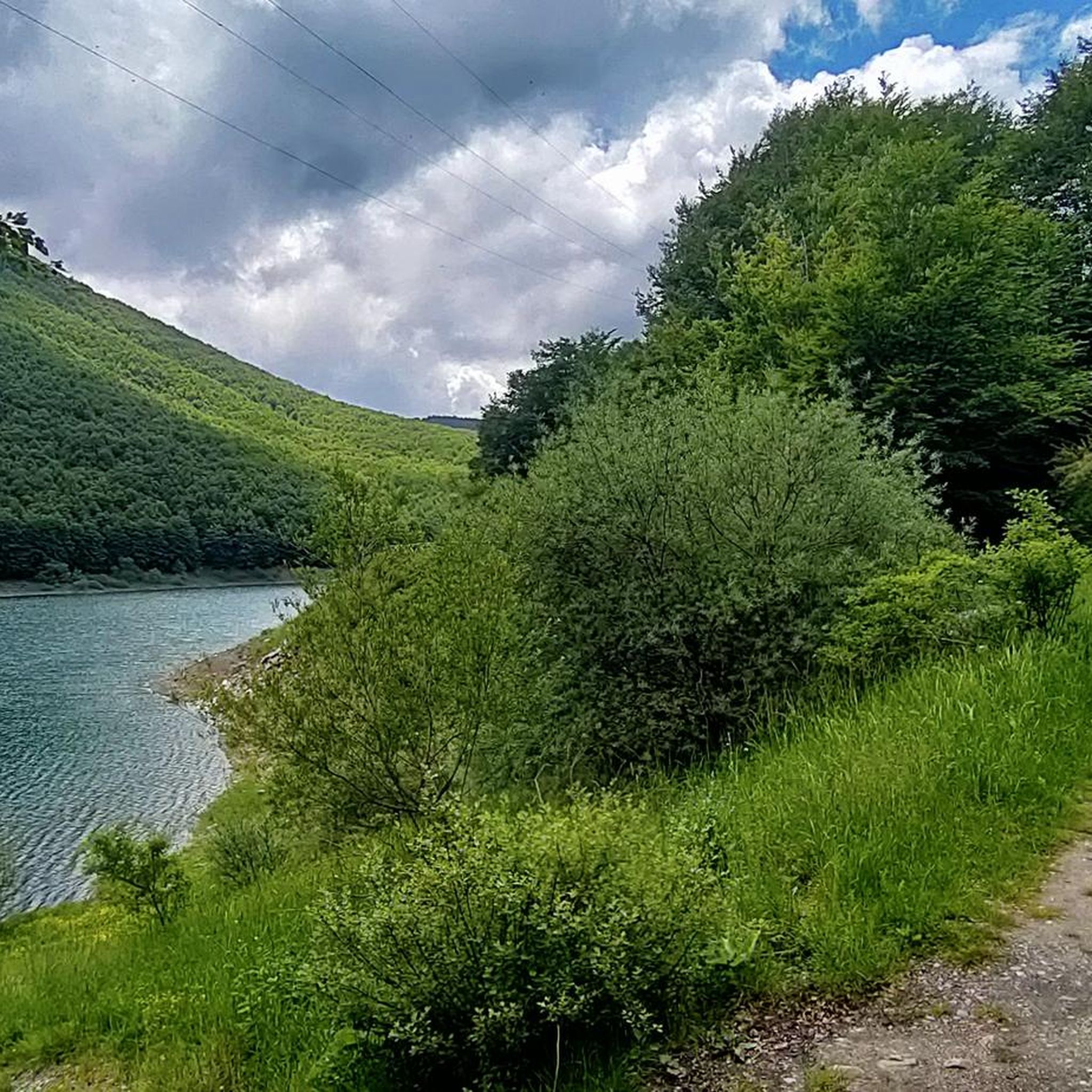
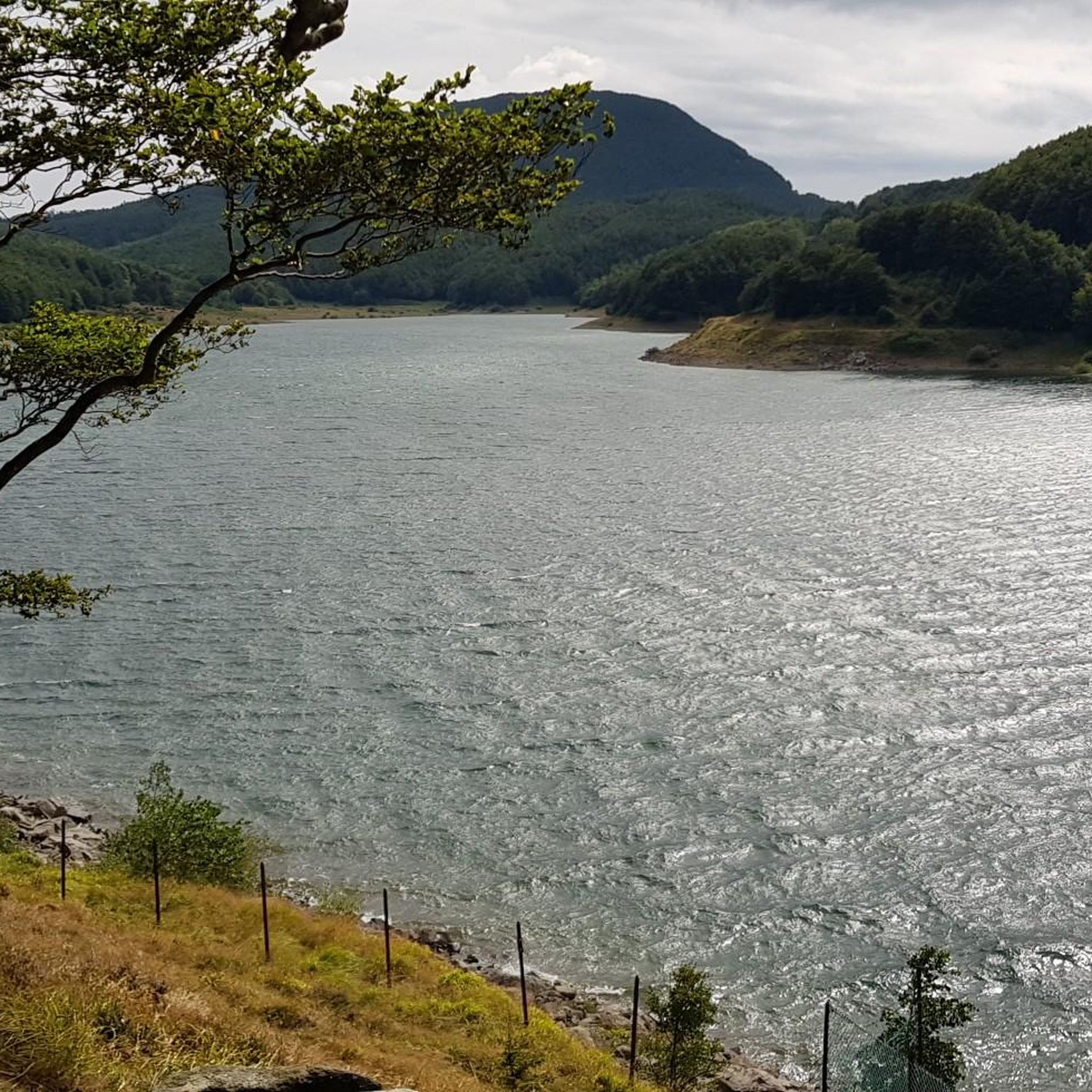
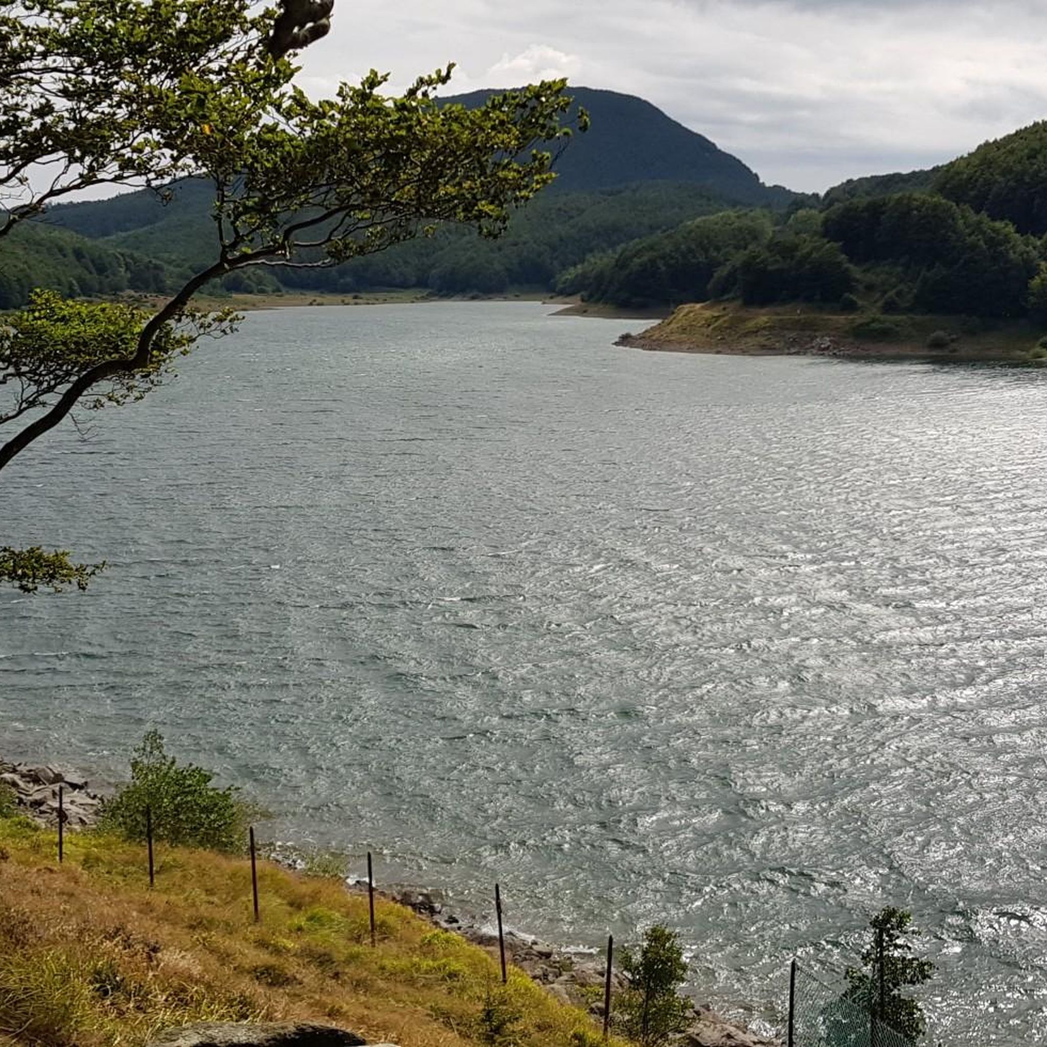
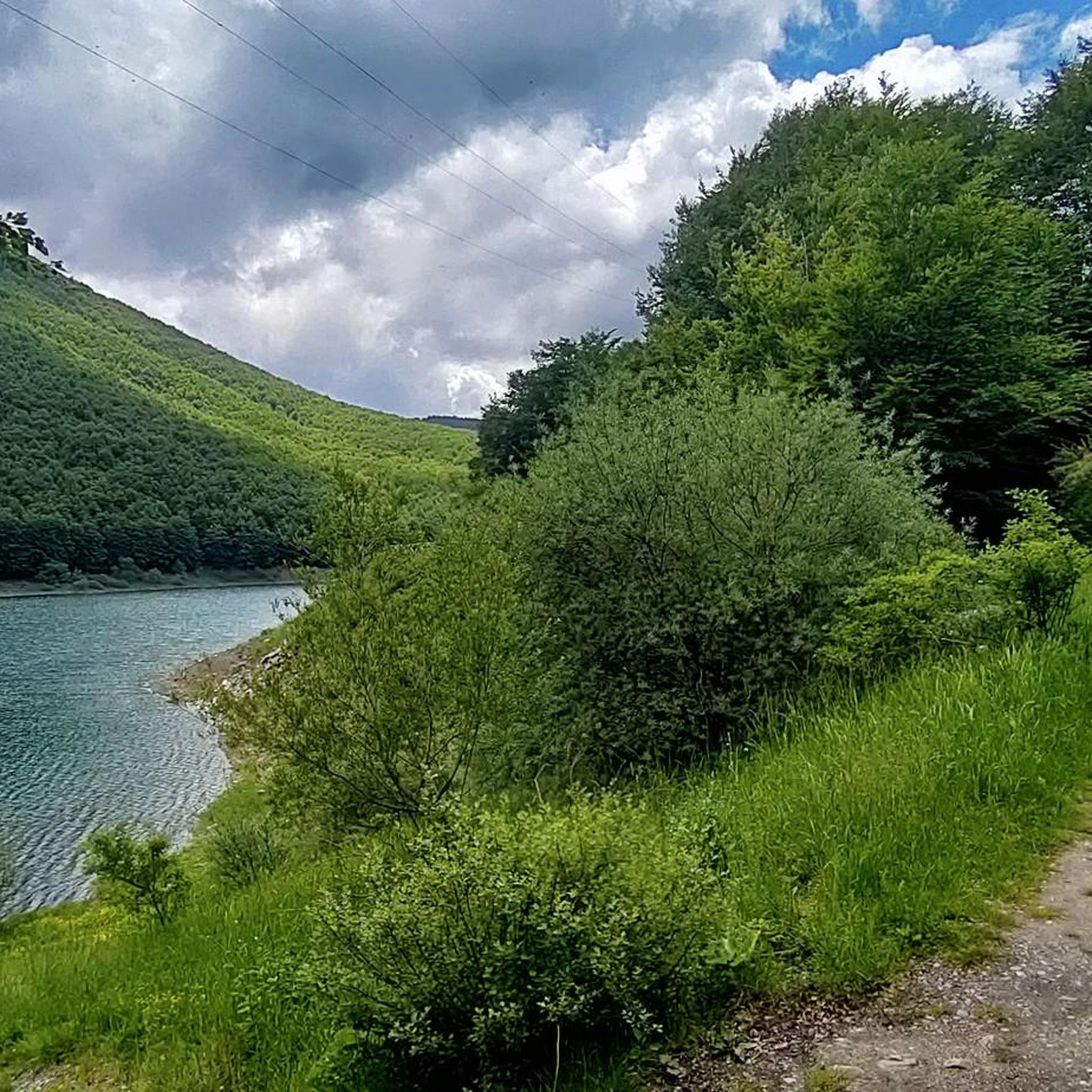
The Diga del Lagastrello (officially called Diga di Lago Paduli) is an artificial dam located in the Tuscan-Emilian Apennines, at an altitude of about 1,157 meters in the municipality of Comano (Massa-Carrara), very close to the Passo del Lagastrello which separates Tuscany from Emilia-Romagna. Built between 1906 and 1910 for hydroelectric purposes by damming the Enza stream, it creates the Lago Paduli, an artificial basin that collects over 3 million cubic meters of water. From an engineering point of view, it is a notable example of an earth-fill dam with a central impermeable clay core. In December 1909, during the final stages of its construction, it suffered a partial and disastrous collapse that devastated the underlying Val Cedra, fortunately without causing any casualties.
0
0

The Rifugio is closed (June 2026)
0
0

Beautiful route, with a stunning summit panorama
1
0


There is a strange magic in this beautiful meadow
0
0

Please note that this walk is less suitable for people with a fear of heights.
1
0

right at the signpost there is a perfect spot of Lake Palo, recommended for those who do the tour of the lake and pass through the Canuti saddle
0
0
Frequently Asked Questions
How many hiking trails are available in Comano?
Comano offers a wide selection of hiking opportunities, with over 40 routes available. These trails cater to various skill levels, ranging from easy strolls to challenging mountain ascents.
What kind of terrain can I expect on hikes around Comano?
The terrain around Comano is incredibly diverse, situated between the Brenta Dolomites and Lake Garda. You'll find a mix of Alpine meadows, dense woods, and expansive pastures. Higher up, the trails lead into rocky, mountainous landscapes within the Adamello Brenta Natural Park. The region also features beautiful lakes and rivers, adding to the varied scenery.
Are there easy hiking trails suitable for families or beginners in Comano?
Yes, Comano offers several easy hiking options perfect for families or those seeking a relaxed walk. There are 3 easy routes available, often leading through gentle meadows or along lake shores. For example, the area around Lake Nembia provides easy circular trails for leisurely walks amidst vibrant green waters.
Are there any circular hiking routes in Comano?
Yes, Comano features several circular hiking routes. One popular option is the Monte Acuto Loop from Lagastrello Dam, a moderate 13.4 km trail offering scenic mountain views. Another is the more challenging Monte Bocco and Monte Malpasso Loop from Passo Lagastrello, covering 12.2 km with significant elevation gain.
What are some notable natural features or landmarks I can see while hiking in Comano?
Comano is rich in natural beauty and landmarks. You can explore the majestic Brenta Dolomites, a UNESCO World Heritage site, or the unspoiled landscapes of the Adamello Brenta Natural Park. Monte Ventasso Summit offers panoramic views, while Lagastrello Dam and Lake Calamone are also points of interest. The region also boasts beautiful lakes like Molveno and Nembia, and picturesque waterfalls formed by its many rivers and streams.
What do other hikers enjoy the most about hiking in Comano?
The hiking trails in Comano are highly regarded by the komoot community, with an average rating of 4.6 stars from over 300 reviews. Hikers frequently praise the diverse landscapes, from Alpine meadows to Dolomitic peaks, and the well-maintained network of trails that cater to all abilities.
Are there any challenging hikes for experienced trekkers in Comano?
Absolutely. For experienced hikers, Comano offers 14 difficult routes with significant elevation gain and rugged mountain terrain. Trails like the Alpe di Succiso Summit Trail from Passo dell'Ospedalaccio (via Route 671) and Monte Alto Summit Trail (via Route 673) provide demanding ascents and rewarding views.
What is the best season for hiking in Comano?
The best season for hiking in Comano is generally from late spring to early autumn (May to October). During these months, the weather is typically mild, and the trails are clear of snow, allowing full access to the Alpine meadows, forests, and higher mountain paths. Summer offers lush greenery, while autumn brings vibrant colors to the forests.
Are there any historical or archaeological sites accessible via hiking trails?
Yes, Comano offers opportunities to combine hiking with cultural exploration. The Fiavé Natural-Archaeological Park features a reconstructed Bronze Age pile-dwelling village, providing a unique historical context to a nature walk. Ancient castles, such as Stenico Castle, also offer interesting excursions that can be combined with outdoor activities.
Can I find accommodation or places to eat near the hiking trails in Comano?
Comano and its surrounding valleys offer various accommodation options, from hotels to guesthouses, catering to hikers. You'll also find cafes and restaurants in the villages, particularly in Comano Terme, where you can enjoy local cuisine and refreshments after your hike. Some trails might also pass by mountain refuges or farmsteads offering food.
Is public transport available to reach hiking trailheads in Comano?
While specific public transport details for every trailhead can vary, the Trentino region generally has a public transport network that connects towns and villages. It's advisable to check local bus schedules or regional transport services for routes that can take you closer to your desired hiking starting points. Some popular areas might have dedicated shuttle services during peak season.
What are the typical elevation gains on hikes in Comano?
Elevation gains in Comano vary significantly depending on the trail's difficulty. Easy routes might have minimal gain, while moderate trails can see ascents of around 500-600 meters, such as the Monte Acuto Loop with 576 meters. Difficult routes, like the Monte Bocco and Monte Malpasso Loop, can involve over 700 meters of climbing, challenging even experienced hikers.
Most popular attractions around Comano

Get inspired with the komoot mobile app


Explore more
Browse the best Hikes in other regions.
