The best running trails around Comano
4.6
(5)
347
runners
45
runs
Jogging around Comano offers routes through varied terrain, characterized by mountainous landscapes and forested paths. The region features significant elevation changes, with routes often traversing mountain passes and offering views of surrounding peaks. Running trails in Comano provide opportunities to explore both challenging ascents and more moderate paths through natural environments.
Best jogging routes around Comano
- The most popular jogging route is Cotto Village Pathway loop from Fivizzano, a 18.5 miles (29.8 km) trail that takes 4 hours 2…
Last updated: July 5, 2026
23
runners
30.0km
04:03
1,110m
1,110m
Hard run. Very good fitness required. Mostly paved surfaces. Suitable for all skill levels.
18
runners
44.4km
06:46
2,030m
2,030m
Hard run. Very good fitness required. Sure-footedness, sturdy shoes and alpine experience required.

Sign up for free
17
runners
11.4km
01:20
340m
340m
Hard run. Very good fitness required. Mostly paved surfaces. Suitable for all skill levels.
11
runners
10.2km
01:52
610m
610m
Hard run. Very good fitness required. Sure-footedness, sturdy shoes and alpine experience required.
8
runners
11.1km
01:54
570m
570m
Hard run. Very good fitness required. Sure-footedness, sturdy shoes and alpine experience required.
Get access to more routes and recommendations from other explorers.
Sign up for free
Already have an account?
Our route recommendations are based on thousands of hikes, rides, and runs completed by other people on komoot.
Start today with a free account
Your next adventure awaits.
Login or Signup

Tips from the Community

The Passo del Cerreto is an important pass in the Tuscan-Emilian Apennines, located at an altitude of 1,261 meters. It separates Tuscany from Emilia-Romagna, connecting the province of Massa-Carrara (municipality of Fivizzano) with that of Reggio Emilia (municipality of Ventasso). The pass is entirely crossed by the State Road 63 (SS 63).
0
0

There are no free parking spaces, the only parking lot belongs to the bar and is reserved for customers.
0
0


A stunning mountain from which you can enjoy a view of the entire Parma Apennines and, on a clear day, you can also see the Gulf of La Spezia.
0
0

One of the most "magical" places in the park of 100 lakes
1
0


very panoramic tour within everyone's reach
1
0
Frequently Asked Questions
How many running routes are available around Comano?
There are over 40 dedicated running routes around Comano, offering a variety of experiences for those looking to explore the mountainous terrain. These routes are highly rated by the komoot community.
Are there any easy jogging routes in Comano suitable for beginners?
The running routes around Comano are primarily characterized by significant elevation changes and challenging terrain. While there are 14 moderate routes, the majority (29) are classified as difficult, making the area more suited for experienced runners. There are no routes specifically rated as easy.
What kind of terrain can I expect on the jogging trails in Comano?
The trails in Comano feature varied terrain, including mountainous landscapes and forested paths. Runners should expect significant elevation changes, with routes often traversing mountain passes and offering views of surrounding peaks. The paths are generally natural and can be quite demanding.
Are there any circular running routes in the Comano area?
Yes, many of the running routes around Comano are circular, allowing you to start and finish at the same point. For example, the Cotto Village Pathway loop from Fivizzano and the Rosario Bivouac – Mount La Nuda loop from Fivizzano are popular circular options.
What are some of the longer running trails around Comano?
For those seeking longer distances, the Rosario Bivouac – Mount La Nuda loop from Fivizzano is a challenging 27.6 miles (44.4 km) path. Another substantial option is the Cotto Village Pathway loop from Fivizzano, which covers 18.5 miles (29.8 km).
Are there any scenic viewpoints or natural attractions along the running routes?
Many routes offer extensive mountain scenery and panoramic views of surrounding peaks. You can also find natural attractions nearby, such as Lake Calamone and Lake Pranda. The Rosario Bivouac – Mount La Nuda loop from Fivizzano, for instance, ascends Mount La Nuda, providing stunning vistas.
What do other runners say about the trails in Comano?
The running routes in Comano are highly rated by the komoot community, with an average score of 5.0 stars. Over 300 runners have used komoot to explore the varied terrain, often praising the challenging ascents and the natural beauty of the forested paths and mountain scenery.
Is the Passo di Pietra Tagliata route suitable for running?
Yes, the Passo di Pietra Tagliata – Passo dell'Ospedalaccio loop from Passo del Cerreto is a popular running route. It's a difficult 6.3 miles (10.2 km) trail with significant elevation gain, offering a challenging experience through mountain passes.
Are there any running trails that pass by lakes or water features?
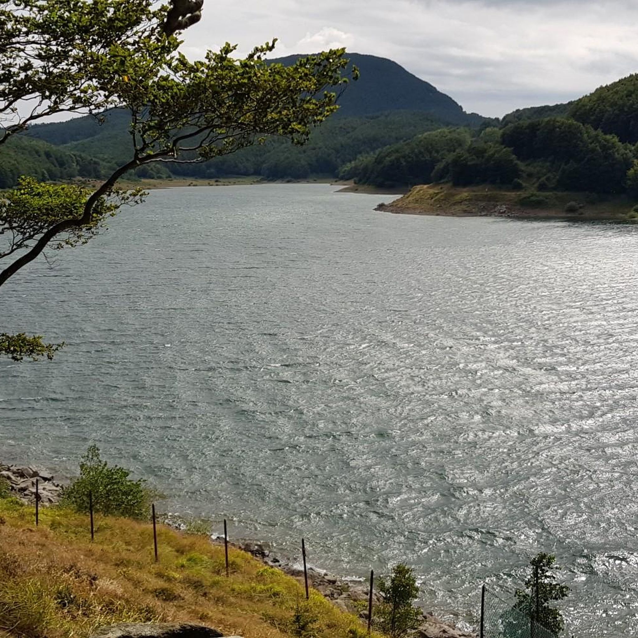
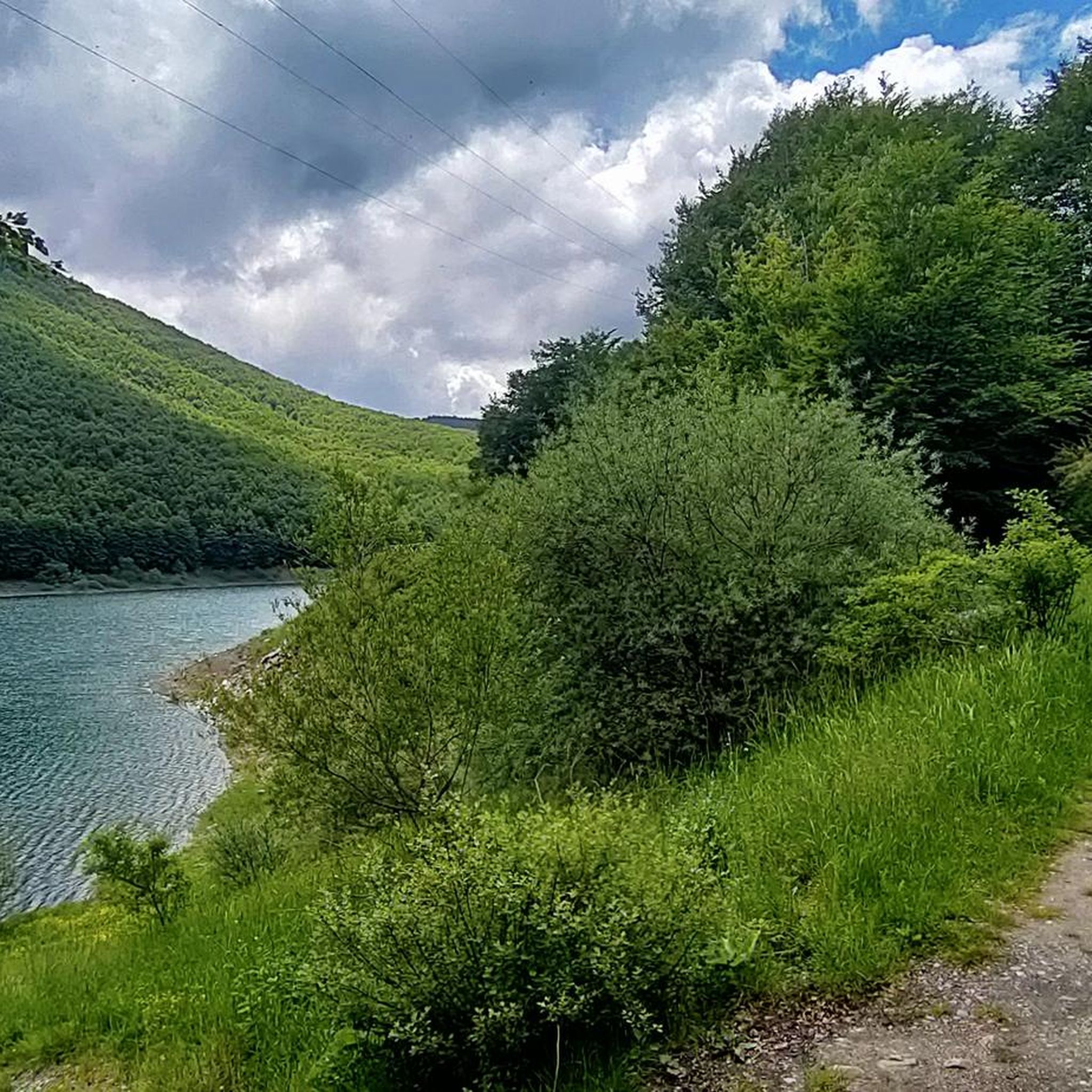
While specific routes may not directly hug lake shores, the region is home to several beautiful lakes. You might consider exploring routes near Lake Calamone or Lake Pranda for opportunities to combine your run with water views. The Lagastrello Dam is also a notable water feature in the area.
What is the typical duration for a running route in Comano?
The duration varies significantly depending on the route's length and difficulty. For example, the Conce loop from Fivizzano, a 7.3 miles (11.7 km) trail, typically takes about 1 hour 23 minutes. Longer, more difficult routes like the Rosario Bivouac – Mount La Nuda loop from Fivizzano can take over 6 hours.
Can I find running routes that offer views of Mount La Nuda?
Absolutely. The Rosario Bivouac – Mount La Nuda loop from Fivizzano is a challenging route specifically designed to ascend Mount La Nuda, providing extensive mountain scenery and panoramic views from its slopes. Another option is the Mount La Nuda – Passo del Cerreto loop from Passo del Cerreto.
Are there any facilities or points of interest for mountain bikers near the running trails?
While focused on running, the Comano area also caters to mountain bikers. You can find facilities like the Mountain Bike Assistance Point and Trailhead Information Board, and specific trails such as the Fil di Gresta Trail and La Fola Singletrack (Route 23), which might be in proximity to some running paths.
Most popular attractions around Comano

Get inspired with the komoot mobile app


Explore more
Browse the best Running Trails & Routes in other regions.
