The best road cycling routes around Unterhaching
4.5
(8996)
122,762
riders
18
rides
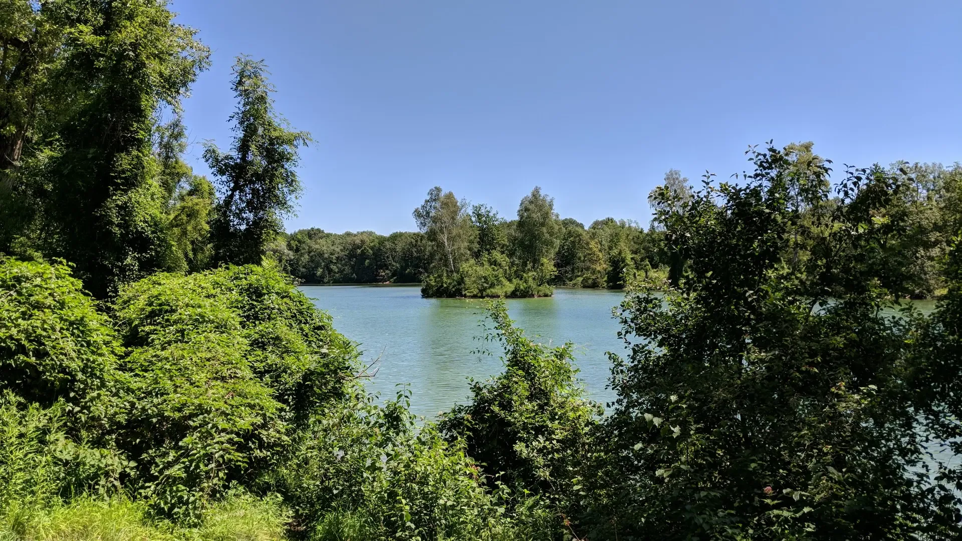
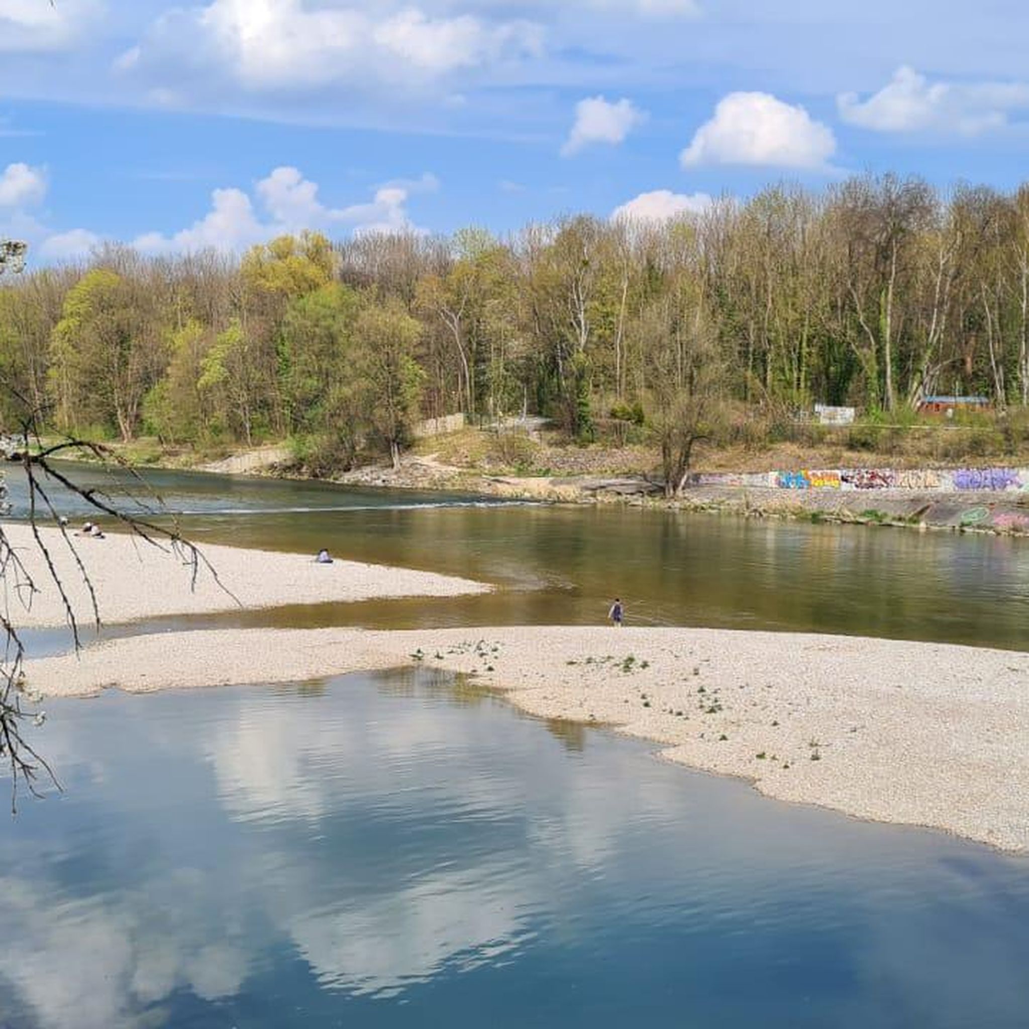
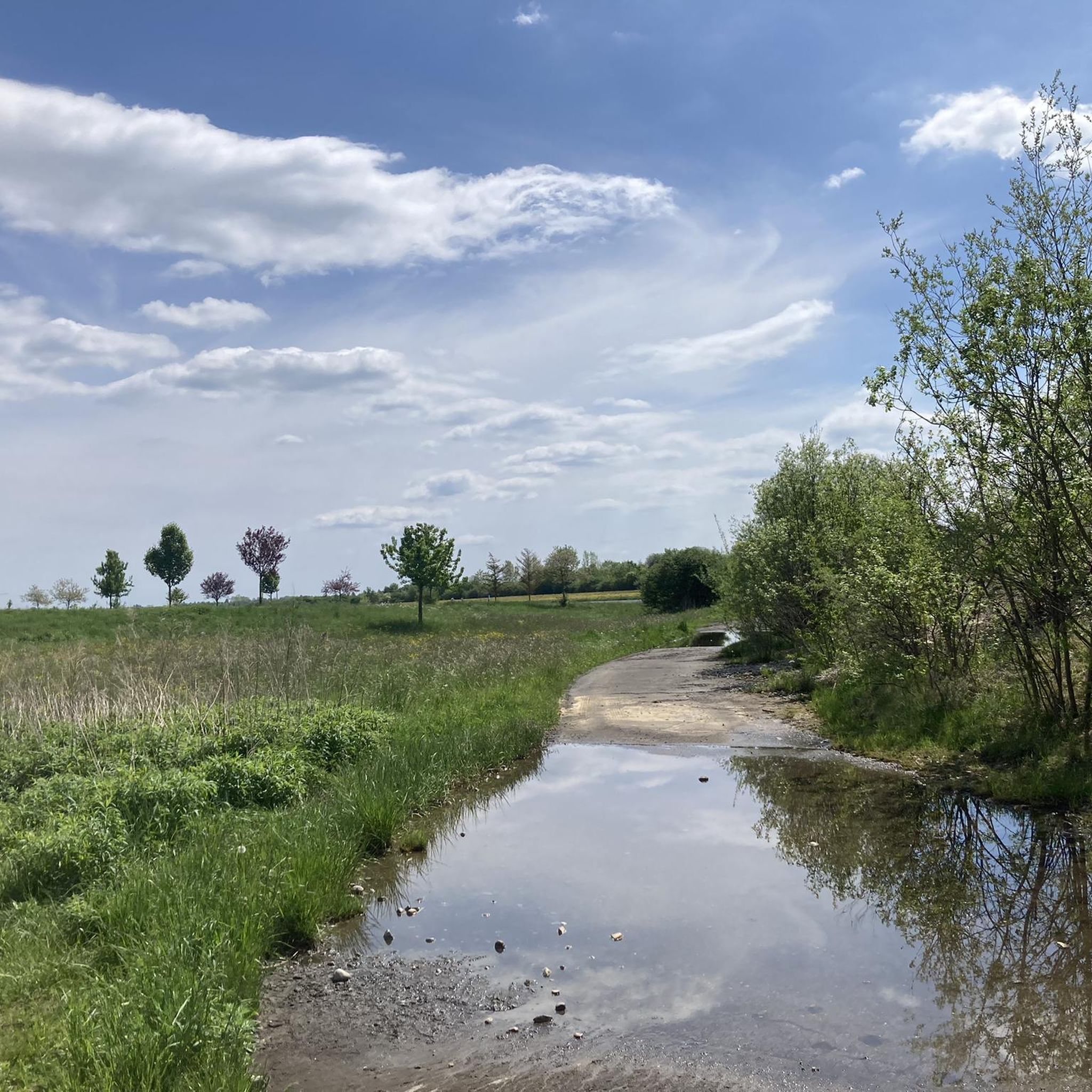
Road cycling around Unterhaching features varied terrain, from extensive woodlands and serene river meadows to picturesque lakes. Many routes provide views stretching towards the Alps and through the Isar valley. The Perlacher Forst, a large forest area, offers well-marked paths for cyclists. This region provides a network of routes suitable for different fitness levels.
Best road cycling routes around Unterhaching
- The most popular road cycling route is Möschenfeld–Harthausen Cycle Path – Dürrnhaar–Egmating Road loop from Unterhaching, a 32.0 miles…
Last updated: October 7, 2026
4.8
(19)
219
riders
Easy road ride. Great for any fitness level. Mostly well-paved surfaces and easy to ride.
3.3
(3)
67
riders
Moderate road ride. Good fitness required. Mostly well-paved surfaces and easy to ride.

4.5
(4)
48
riders
24.4km
00:58
70m
70m
Easy road ride. Great for any fitness level. Mostly well-paved surfaces and easy to ride.
40
riders
98.7km
04:06
650m
650m
Moderate road ride. Good fitness required. Mostly well-paved surfaces and easy to ride.
5.0
(2)
25
riders
Moderate road ride. Good fitness required. Mostly well-paved surfaces and easy to ride.
Get access to more routes and recommendations from other explorers.
Already have an account?
Our route recommendations are based on thousands of hikes, rides, and runs completed by other people on komoot.
Start today with a free account
Your next adventure awaits.
Other adventures around Unterhaching

Tips from the Community

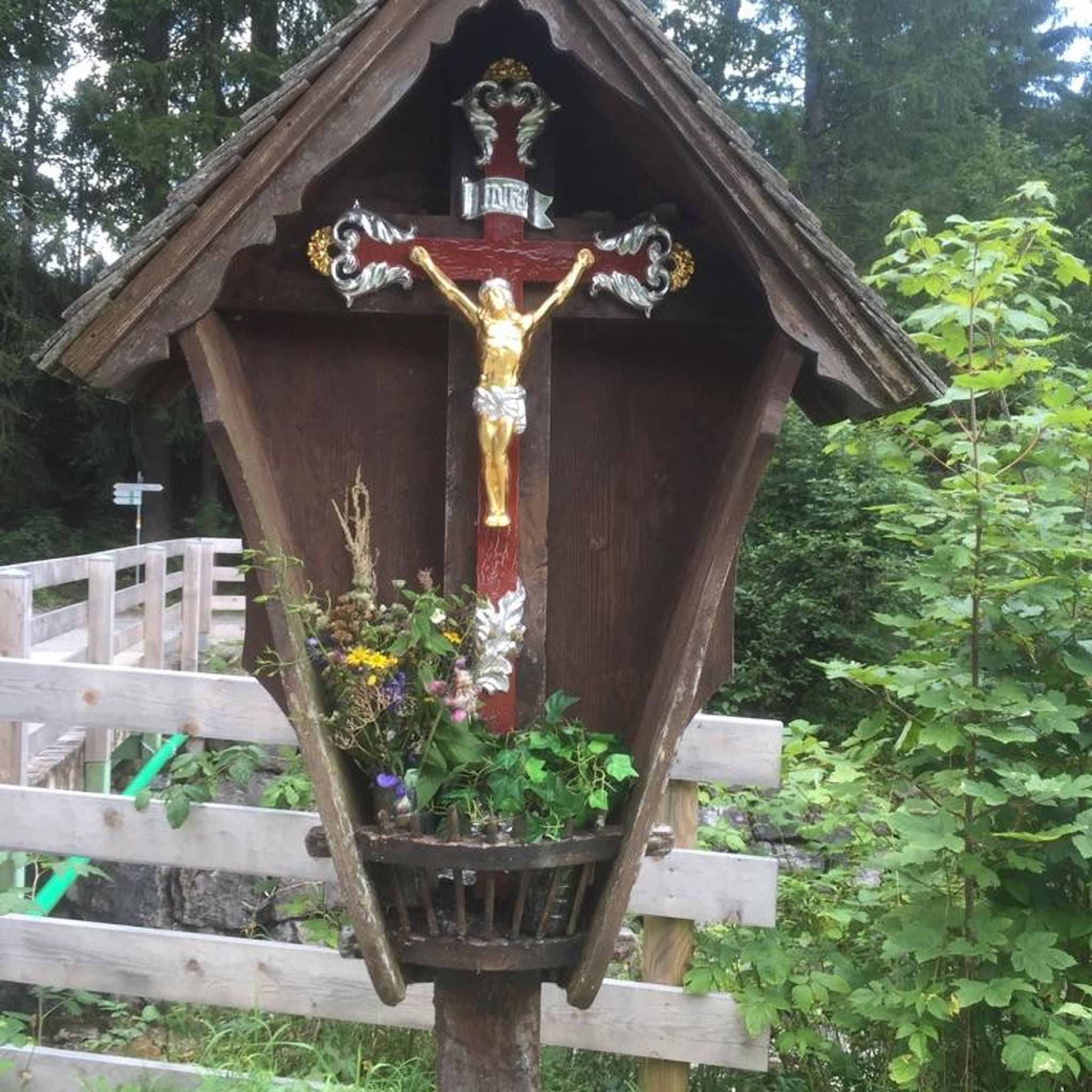
Forsthaus Wörnbrunn with game enclosure
2
0

Superb view of a magnificent mountain panorama
0
0

Great cycle path, magnificent landscape
0
0

Fast section. But it's always gloomy in the forest, better to have a light with you, or at least a white helmet ;)
0
0
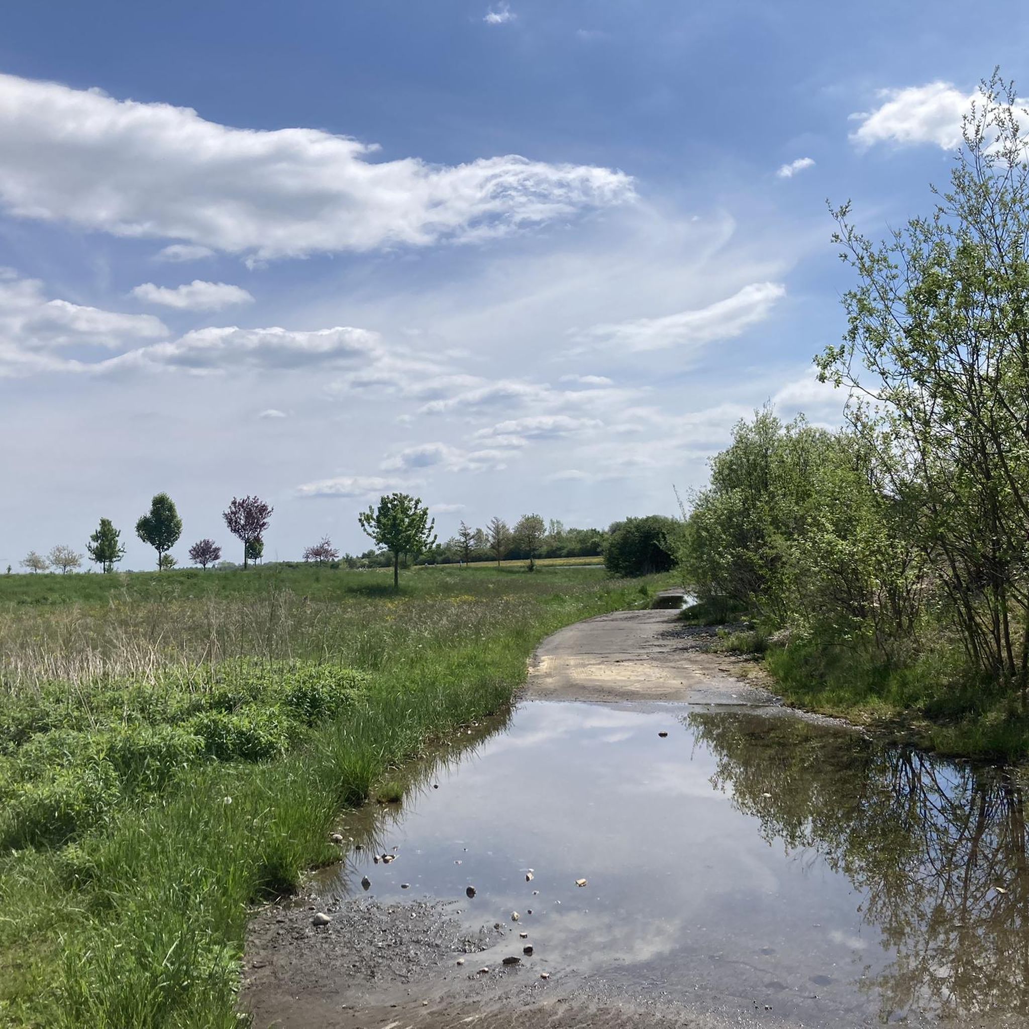
Beautiful fields and hills. Like a picture book.
0
0

The Schindergraben Bump is currently a construction site (as of July 17, 2026). It looks impassable, but there is a pedestrian bridge over the Schindergraben, which you can use to push your bike if you overcome the barriers beforehand.
0
0
Beautiful path through the Perlacher Forst
1
0

@Theo That's the water tower of Unterhaching
1
0
Frequently Asked Questions
How many road cycling routes are available around Unterhaching?
There are over 20 dedicated road cycling routes around Unterhaching, offering a diverse range of experiences for different fitness levels. You'll find options from easy rides to more challenging routes with significant elevation gain.
What kind of landscapes and terrain will I encounter on road cycling routes in Unterhaching?
Road cycling around Unterhaching offers a varied landscape, from extensive woodlands like the Perlacher Forst to serene river meadows along the Hachinger Bach stream. Many routes provide picturesque views of lakes, the Isar valley, and even distant Alpine panoramas. You'll also cycle through charming small villages on quiet roads.
Are there easy road cycling routes suitable for beginners or more relaxed rides?
Yes, Unterhaching offers several easy road cycling routes. For instance, the Forest Cycle Path Near Munich – Perlacher Forst Bike Path loop from Unterhaching is an easy 16.1-mile path that leads through dense forests, providing a refreshing ride. Another easy option is the Deisenhofen railway line – Sauerlacher Straße loop from Unterhaching, which takes you through quiet roads and green meadows.
What are the best times of year for road cycling in Unterhaching?
The best seasons for road cycling in Unterhaching are spring, summer, and autumn. During these months, the weather is generally mild, and nature is in full bloom, making for pleasant rides through the region's diverse landscapes.
Are there any notable landmarks or attractions along the road cycling routes?
Yes, several routes offer access to interesting sights. You might encounter the Großhesseloher Bridge, a pedestrian and cycle bridge over the Isar, offering great views. The Perlacher Forst Bike Path itself is a highlight, and you can also find natural features like the Isar at the Flauchersteg.
Can I find circular road cycling routes around Unterhaching?
Many of the road cycling routes around Unterhaching are designed as loops, allowing you to start and end in the same location. Examples include the popular Möschenfeld–Harthausen Cycle Path – Dürrnhaar–Egmating Road loop from Unterhaching and the Cows by the Meadow Road – Red-Leaved Tree on Heidenweg loop from Unterhaching.
What do other road cyclists enjoy most about the routes in Unterhaching?
The road cycling routes in Unterhaching are highly rated by the komoot community, with an average score of 4.4 stars from over 50 reviews. Cyclists often praise the varied terrain, the refreshing rides through dense forests like the Perlacher Forst, and the quiet roads winding through charming Bavarian villages.
Are there options for longer road cycling tours from Unterhaching?
Yes, for those seeking longer rides, routes like the Möschenfeld–Harthausen Cycle Path – Dürrnhaar–Egmating Road loop from Unterhaching offer a moderate 32-mile (51.5 km) experience. The region's extensive network also allows for connecting various paths to create extended tours, potentially reaching the foothills of the Alps for more challenging distances.
How accessible are the road cycling routes by public transport?
Unterhaching is well-connected to Munich's public transport network, making it convenient to reach the starting points of many routes. The S-Bahn (commuter train) allows for bicycle transport, providing flexibility for cyclists to access routes further afield or return after a long ride.
Are there any road cycling routes that offer views of the Alps?
Yes, many cycling routes in and around Unterhaching are known for offering expansive views that stretch as far as the Alps, particularly on clear days. These routes often traverse the Isar valley or lead towards the foothills, providing impressive panoramic vistas.
Can I find cafes or pubs along the road cycling routes for a break?
While specific cafes are not listed for every route, many routes wind through charming small villages with old farmhouses, such as those found in the Sauerlach and Dietramszell districts. These villages often provide opportunities for refreshment stops at local establishments.
Most popular routes around Unterhaching
Most popular attractions around Unterhaching

Get inspired with the komoot mobile app


Explore more
Browse the best Road cycling routes in other regions.
