The best MTB trails around Oreye
4.2
(166)
1,246
riders
190
rides
Mountain bike trails around Oreye traverse a diverse landscape characterized by a lovely rolling terrain, hedged farmland, and valleys. The region, situated in the Walloon countryside, offers varied experiences through its network of paths, including singletracks and old tramways. This area provides an undulating environment suitable for mountain biking, with elevations that contribute to dynamic routes. Forests and rural expanses are common features, contributing to a preserved natural setting for outdoor exploration.
Best mountain bike trails around Oreye
- The most…
Last updated: October 21, 2026
3.8
(6)
28
riders
27.8km
01:41
230m
230m
Moderate mountain bike ride. Advanced riding skills necessary.
4.0
(4)
30
riders
30.6km
01:58
210m
210m
Moderate mountain bike ride. Advanced riding skills necessary.

3.3
(3)
7
riders
28.9km
01:41
170m
170m
Easy mountain bike ride.
5.0
(1)
9
riders
30.0km
01:48
150m
150m
Easy mountain bike ride.
3.0
(1)
5
riders
34.0km
01:58
250m
250m
Easy mountain bike ride.
Get access to more routes and recommendations from other explorers.
Already have an account?
Our route recommendations are based on thousands of hikes, rides, and runs completed by other people on komoot.
Start today with a free account
Your next adventure awaits.

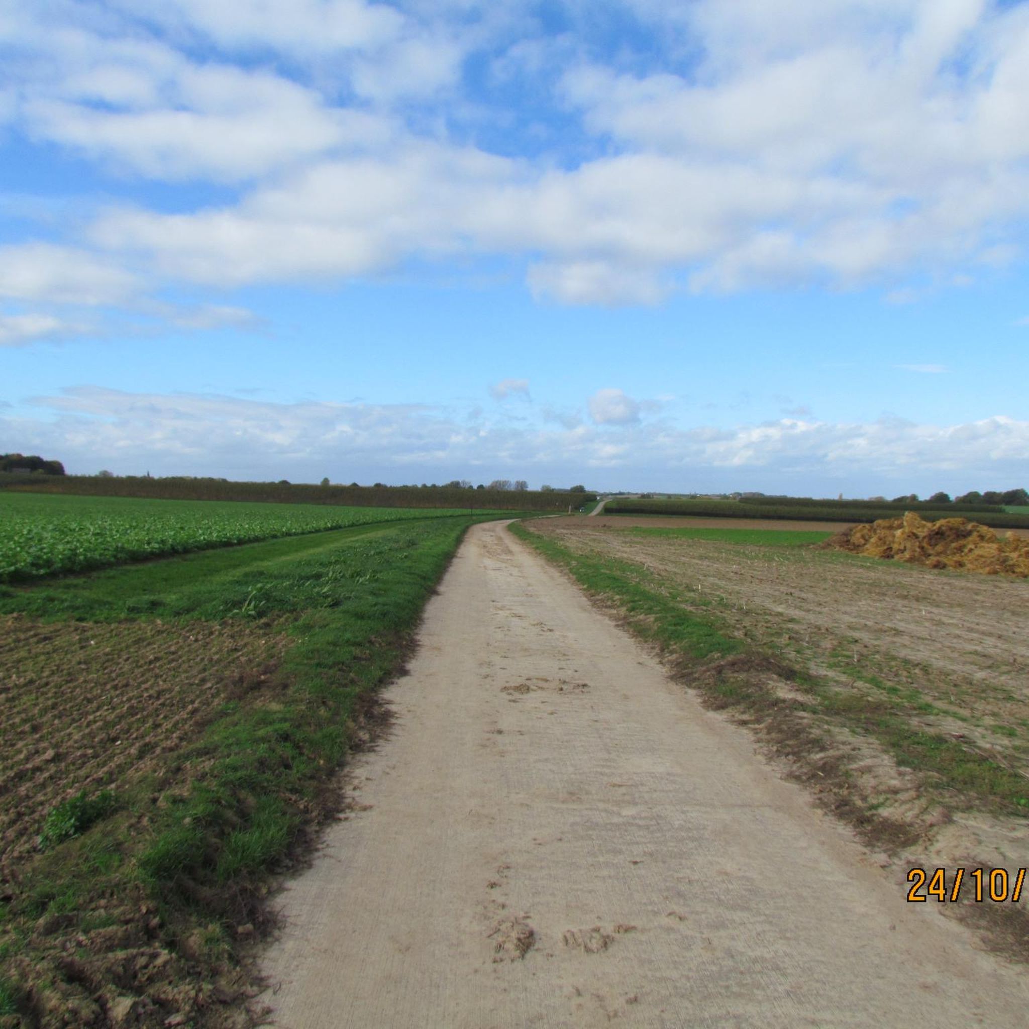
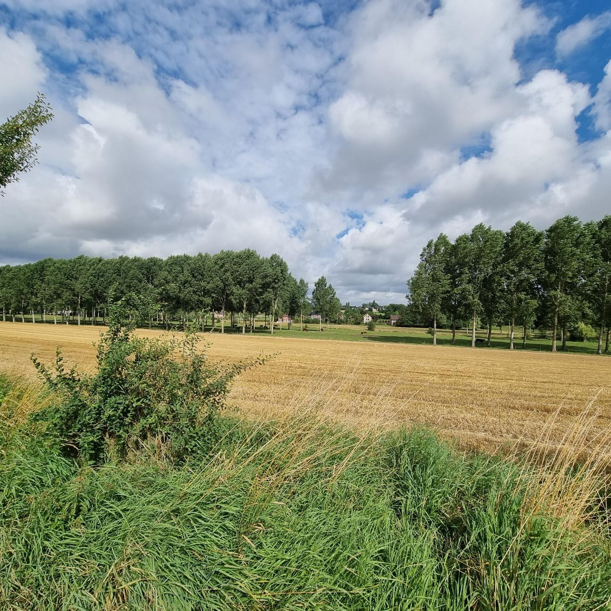
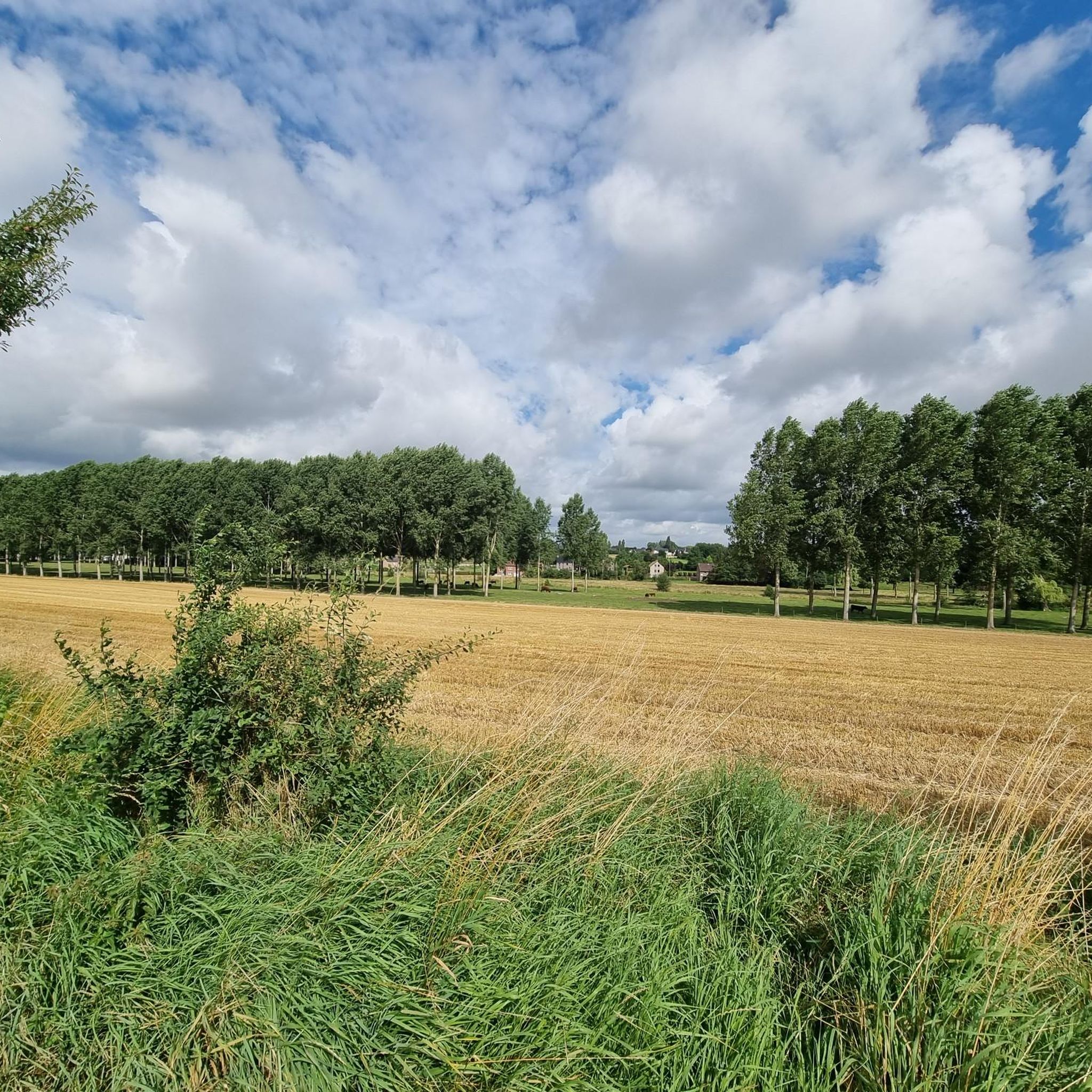
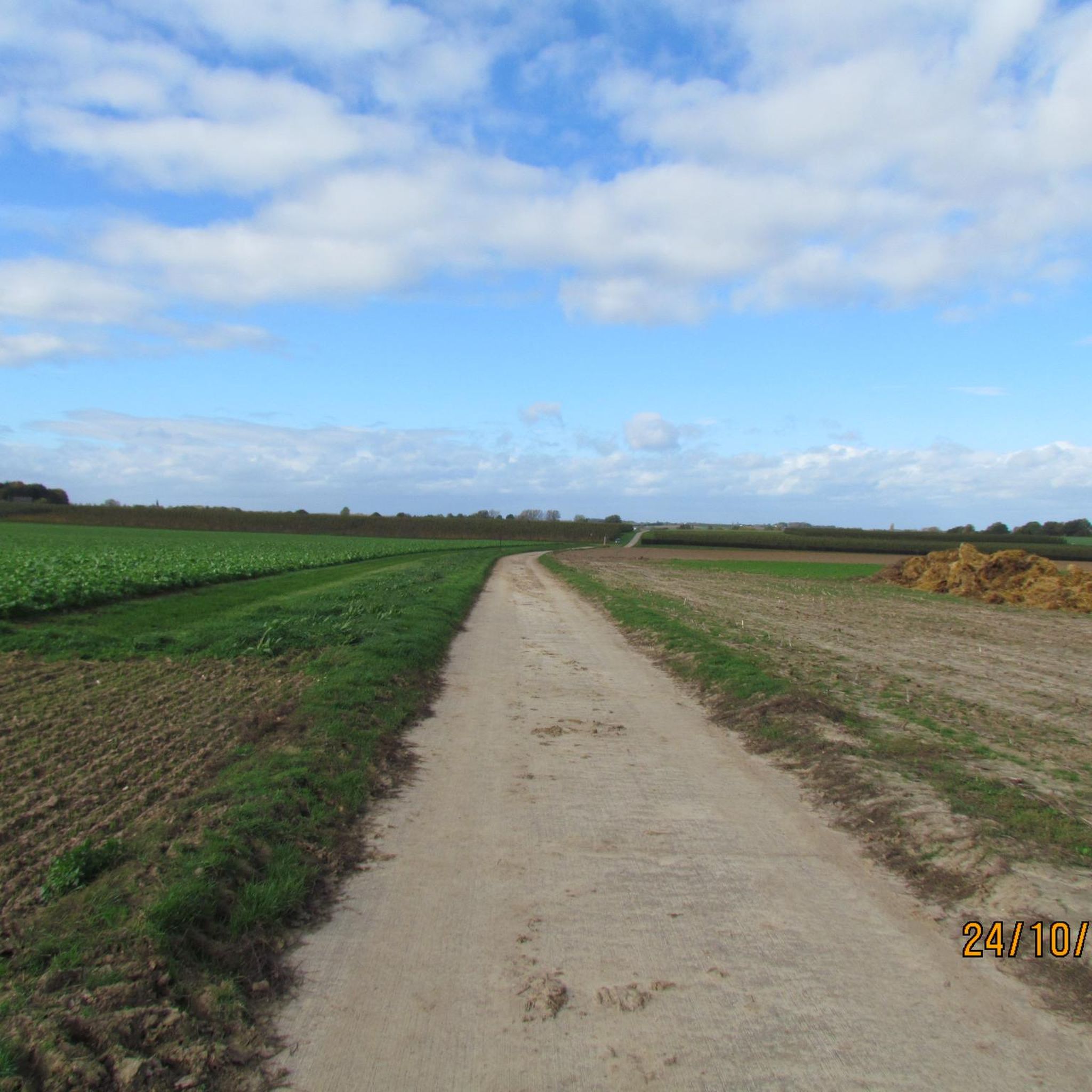
Tips from the Community

Dying night in the dawn
0
0

The beguinage of Borgloon originated around the chapel of the Knights Hospitaller in Graethem, near the city gate. This chapel is the burial place of Louis I († 1171), Count of Loon, and his wife Agnes, who is mentioned twice in the Legend of Saint Servatius by Hendrik van Veldeke. The tomb remained preserved until around 1860. In 1174, Agnes, now a widow, donated the hospital and all its dependent goods to the Abbey of Villers; she endowed it with her lands in Heks. After some time, beguines began to settle around the hospital; in 1258 or 1259, a beguinage was definitively established. The Abbey of Villers retained the right of patronage of the chapel and the right to appoint the nine beguines. In 1582, this right passed to the Saint Lambert Chapter of Liège. From 1500 onwards, the city council appointed a master of the house in the hospital. In 1654, the nine beguinage houses were burned down by Lorraine troops during the siege of the city. The beguines rebuilt their houses with the income from their prebends and the alms of the Cathedral of Liège. Around 1714, the hospital had deteriorated so much that it was moved to the other side of the road; in 1784, it was taken over by the city's poor relief board. By decree of 25 November 1797, the beguinage came under the administration of the Bureau of Weldadigheid (Bureau of Charity). In 1802, the beguinage was converted into a retirement home; there were still four beguines living there at the time. In 1814, the chapel was opened for public worship. Between 1836 and 1844, the construction of the old men's home began; an enlargement took place between 1868-1872, a later enlargement in 1891 and 1896, designed by E. Serrure. In 1846, a girls' school was added to this complex; the latter, under the leadership of the Sisters of Charity, functioned there only until 1849, when it was transferred to the old Brigittine convent. In 1911, a new chapel was built next to the elder's home. Reportedly, the beguinage chapel was used as a classroom for a few more years.
2
0

A green hill with colorful flowers...
3
0
The Tjenneboom commemorates Tjenne the witch, who is said to have been burned at the stake at this location more than three centuries ago. The location is typical for a pyre or gallows, namely on the outskirts of a village and at the highest point in the area. The tree is located on the border of four former municipalities, Helshoven, Gotem, Mettekoven and Voort, and can thus also be considered a border tree. Finally, the tree marks the route of the Roman Road, the historical Roman connection between Bavay and Tongeren. It is already the third tree at this location, planted in 1970. The location has also been laid out as a meeting place. The solitary white poplar is an important landmark in the landscape. Due to its location, at the highest point in an open agricultural landscape, it is visible from the surrounding area. Moreover, it has a beautiful, representative growth form. @https://inventaris.onroerenderfgoed.be/aanduidingsobjecten/9752
3
0

Friendly people. Relaxed and cozy atmosphere. Beautiful location.
0
0
A hollow way or grub(be) is a road that has been eroded by rainwater runoff or by frequent use (by livestock or vehicles), causing the road to lie between two slopes.
4
0
Striking color...
2
2

Frequently Asked Questions
How many mountain bike trails are available around Oreye?
There are over 170 mountain bike trails around Oreye, offering a wide range of options for different skill levels. You'll find everything from easy routes to more challenging rides through the region's diverse landscapes.
What kind of terrain can I expect on mountain bike trails around Oreye?
The terrain around Oreye is characterized by hilly and rolling landscapes, typical of the Hesbaye region, often referred to as "Belgium's granary." You'll encounter hedged farmland, river valleys, woodlands, and paths along old tramways. Some routes feature singletracks, providing a dynamic riding experience.
Are there easy mountain bike trails suitable for beginners or families in Oreye?
Yes, Oreye offers many easy mountain bike trails perfect for beginners or families. For example, the Old Tramway Path – Route Along the Jeker loop from Crisnée is an easy 30.0 km route that follows an old tramway path alongside the Jeker river. Another great option is the Jesseren Station – Heks Castle loop from Heers, an easy 34.0 km trail through rolling landscapes.
What are some notable landmarks or natural features I can see while mountain biking near Oreye?
Many trails offer glimpses of the region's rich history and natural beauty. You might pass by the ancient Roman Road, historical structures like the 17th-century castle in Otrange, or the Saint-Clément church. Natural features include the Geer River, which waters the village, and the ecologically rich Oreye Nature Reserve. You can also explore highlights like Heks Castle or the Grootloon High-Stem Orchards.
Are there any circular mountain bike routes in Oreye?
Yes, many mountain bike routes around Oreye are designed as loops, allowing you to start and finish in the same location. Examples include the Heks Castle – Roman Road loop from Vechmaal and the Ruined Stone Building – Old Tramway Path loop from Oreye. These circular routes make planning your ride convenient.
What is the best time of year to go mountain biking in Oreye?
The best time for mountain biking in Oreye is generally during the spring, summer, and early autumn months when the weather is milder and the trails are dry. The region's rolling landscapes and woodlands are particularly scenic during these seasons. While some trails may be accessible in winter, wet conditions can make certain paths muddy.
Is it possible to reach mountain bike trails in Oreye using public transport?
While Oreye is a rural area, some trails might be accessible via regional bus services or by combining train travel to nearby towns with a short ride to the trailhead. However, public transport options directly to all trailheads might be limited, so planning your journey in advance is recommended. Bringing your bike on public transport may also have restrictions.
Are there specific parking areas for mountain bikers near the trails in Oreye?
Parking availability varies by trailhead. Many routes start from villages or small towns like Oreye, Crisnée, Heers, or Vechmaal, where you can often find public parking. It's advisable to check the specific route details on komoot for information on recommended starting points and parking facilities.
What do other mountain bikers enjoy most about mountain biking in Oreye?
The mountain bike trails around Oreye are highly rated by the komoot community, with an average score of 4.1 stars. Reviewers often praise the diverse and undulating terrain, the scenic views of the Walloon countryside, and the well-maintained paths that cater to various skill levels. The blend of natural beauty and historical elements also adds to the appeal.
Are there any mountain bike trails that pass by unique art installations or cultural sites?
Yes, the region offers a blend of nature and culture. While not directly on every trail, the unique "Reading Between the Lines" (See-Through Church) near Borgloon is a distinctive attraction reachable via cycling routes from Oreye. You might also encounter other historical elements like the Roman Road or traditional farmhouses along your ride.
Most popular attractions around Oreye

Get inspired with the komoot mobile app


Explore more
Browse the best MTB trails in other regions.
