The best walks and hikes around Vahlberg
4.6
(6485)
23,768
hikers
829
hikes
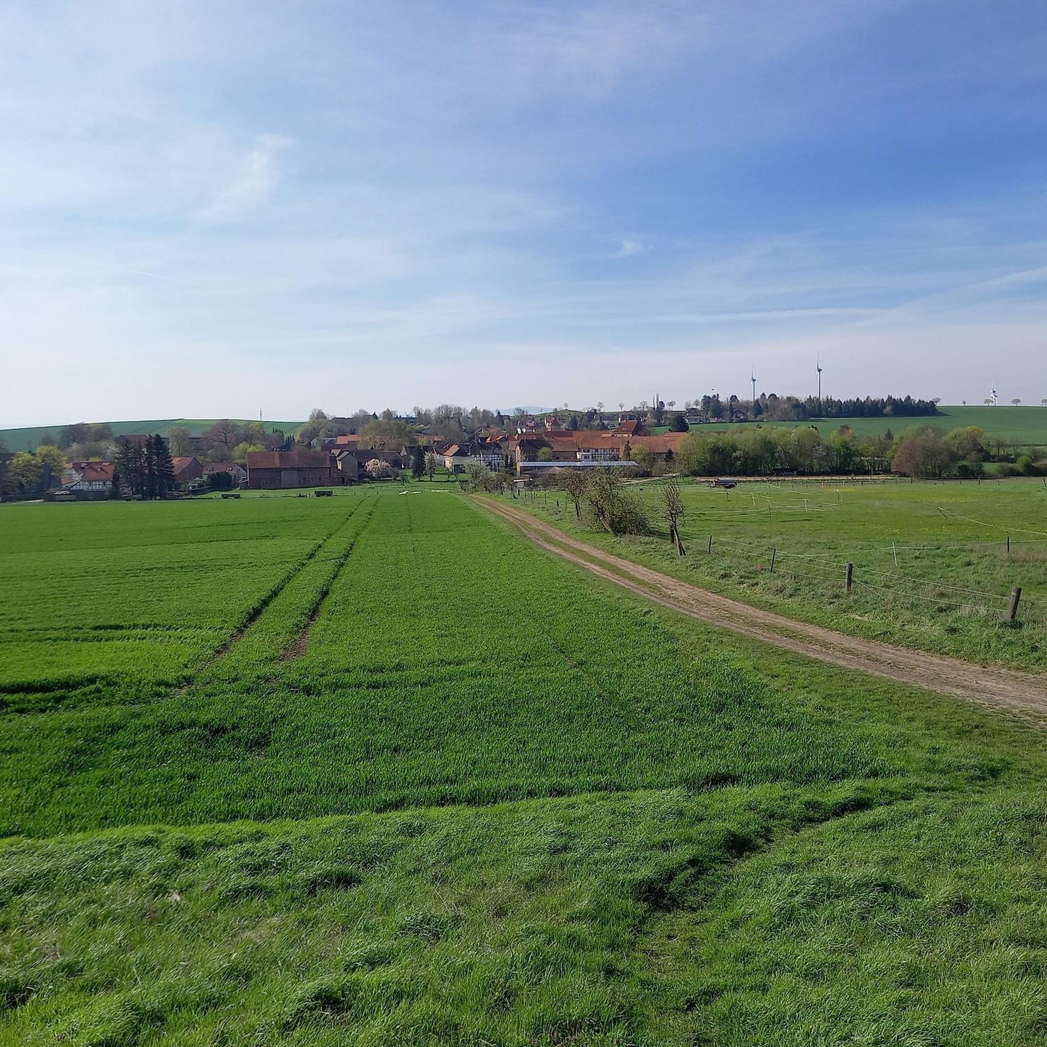
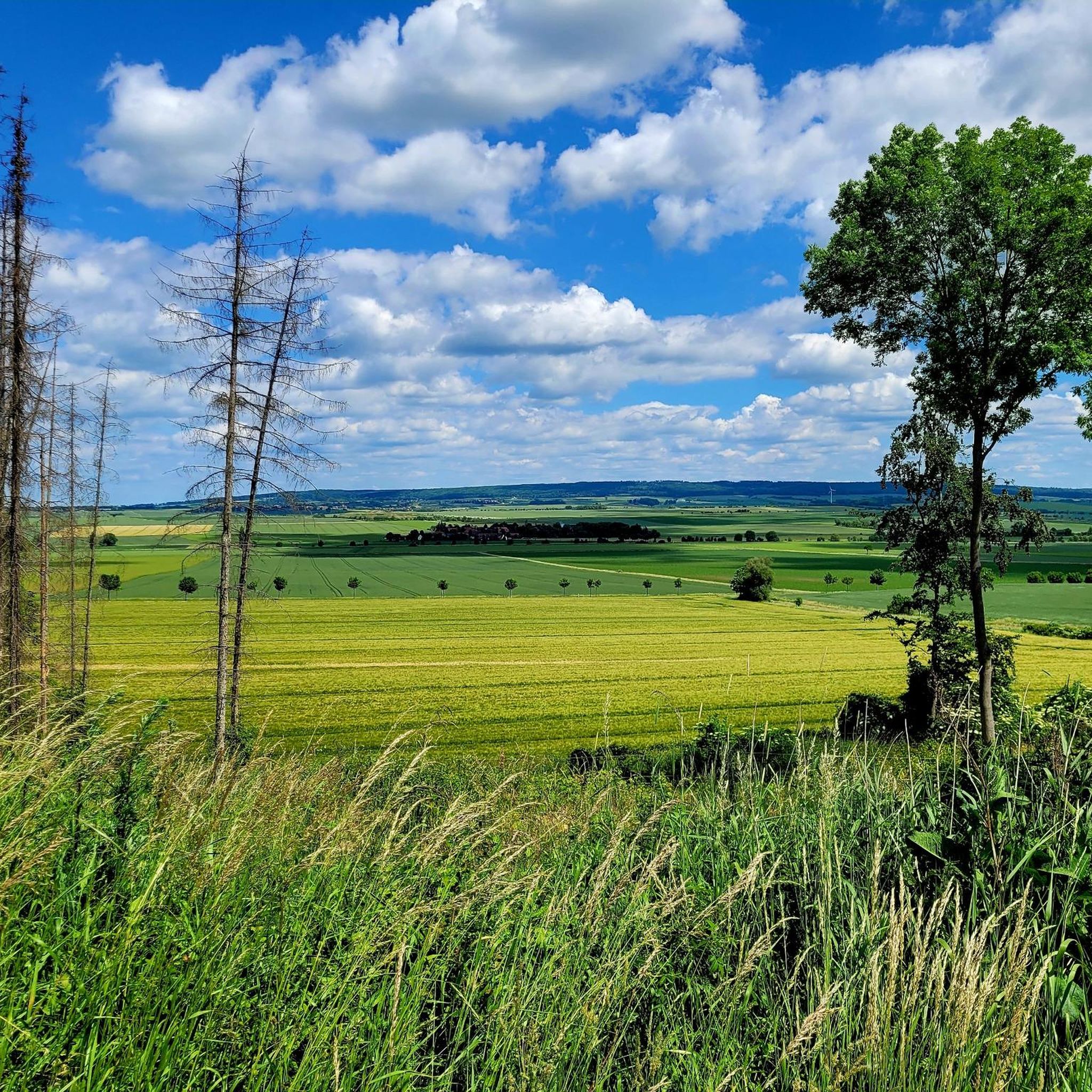
Hiking around Vahlberg offers diverse trails within the Elm-Asse region, characterized by the Asse hills and the Wolfenbüttel district. The landscape features a mix of natural areas like pond biotopes and wetlands, alongside historical landmarks such as castle ruins. Hikers can explore orchard meadows and enjoy views across the varied terrain.
Best hiking trails around Vahlberg
- The most popular hiking route is Asseburg Castle Ruins – View of the Brocken loop from Landkreis Wolfenbüttel, a moderate 5.5 miles (8.8…
Last updated: September 29, 2026
4.8
(20)
75
hikers
Moderate hike. Good fitness required. Mostly accessible paths. Sure-footedness required.
4.9
(15)
73
hikers
Easy hike. Great for any fitness level. Easily-accessible paths. Suitable for all skill levels.

4.7
(10)
52
hikers
Easy hike. Great for any fitness level. Easily-accessible paths. Suitable for all skill levels.
4.9
(8)
41
hikers
Easy hike. Great for any fitness level. Easily-accessible paths. Suitable for all skill levels.
4.9
(8)
36
hikers
9.16km
02:36
200m
200m
Moderate hike. Good fitness required. Easily-accessible paths. Suitable for all skill levels.
Get access to more routes and recommendations from other explorers.
Already have an account?
Our route recommendations are based on thousands of hikes, rides, and runs completed by other people on komoot.
Start today with a free account
Your next adventure awaits.
Tips from the Community

The stamp arrived today.
0
0

Beautiful bench on the hillside path with a view of Groß Denkte.
1
0

2. Stamp station of the Northern Harz Foreland leisure stamp pass (broken) The Asseburg ruins were one of the largest hilltop castles in northern Germany. It was 185 m long and 35 - 50 m wide and was considered impregnable. It was built by Gunzelin in 1218 and destroyed by fire in 1492. (Source: https://www.noerdliches-harzvorland.com)
0
3
With this adventure trail, the Ostfalen Open Air and Adventure Museum (FEMO), the Asse collective municipality and the Lower Saxony Elm Forestry Office want to bring the natural and cultural history of the Asse closer to visitors in an exciting and diverse way. We invite you to enter the landscape, relax and enjoy nature. The hike begins at the "Waldhaus Asse" car park above Wittmar. The path leads through the Liebes-Allee to the Bismarck Tower and Asseburg, then back to the "Waldhaus Asse" inn. It is also possible to hike around the Röhrberg to the northern Muschelkalk ridge and return to the "Waldhaus Asse" via the Teichweg and the site of the former Asse I mine. 9 experience points explain aspects of geology, history, prehistory and early history, botany and mycology and highlight the connections between these disciplines. (Source: https://www.elm-asse.de)
0
0
The campsite has been there since 1970. This year, the Wolfenbüttel district youth welfare office and the Wolfenbüttel city youth welfare office each held three-week holiday camps as a suburban recreational activity for the first time. In 1974, the Wolfenbüttel district acquired the site and since then the "Asselager" has been held there. A 14-day children's camp at the beginning of the summer holidays for children aged 6 to 12. (Source: https://www.hva-asse.de)
1
1
The Brocken (popularly known as the Blocksberg) is the highest mountain in the Harz Mountains, in Saxony-Anhalt and in all of northern Germany at 1141.2 m above sea level. It is located in the Schierke district of the town of Wernigerode in the Harz district. The mountain and its surroundings in the Harz National Park are one of the most popular tourist destinations in Germany. The Brocken is the most dominant mountain in Germany. From the Brocken summit, when visibility is good, you can see the Großer Inselsberg in Thuringia, the Köterberg in the Weserbergland, the Petersberg north of Halle (Saale) and the Magdeburg Cathedral, 79 km away. When visibility is very good, the Rothaargebirge (164 km away) and the Rhön (152 km) are also visible. In excellent conditions, the Fichtelberg, about 224 km away, and the neighboring Keilberg (227 km) in the Czech Republic can also be seen. The narrow-gauge Brocken Railway has been running to the summit since 1899, apart from interruptions due to destruction in the Second World War and later due to the division of Germany. The transmitters on the Brocken, which have been in place since the 1930s, have a large technical range due to their exposed location in the High Harz. (Source: Wikipedia)
0
2

Unfortunately, the stamp was missing today (07.07.2024).
0
1

Unfortunately the stamp is gone. I was so angry.
0
1
Frequently Asked Questions
How many hiking trails are available around Vahlberg?
Vahlberg offers a wide selection of hiking opportunities, with over 800 trails recorded on komoot. These routes cater to various skill levels, from easy strolls to more challenging ascents within the Elm-Asse region.
Are there family-friendly hiking options around Vahlberg?
Yes, Vahlberg is very suitable for families. More than 500 of the trails are rated as easy. A great option is the Asseburg Castle Ruins – Lovers' Avenue loop, an easy 1.9-mile (3.0 km) path that provides a gentle walk around historic castle ruins, perfect for all ages.
Can I bring my dog on the hiking trails in Vahlberg?
Generally, dogs are welcome on hiking trails in the Vahlberg area, especially on the numerous forest and nature paths. However, it's always advisable to keep dogs on a leash, particularly in nature reserve areas or near wildlife. Please be mindful of local regulations and other hikers.
Are there good circular hiking routes in Vahlberg?
Many of the trails around Vahlberg are designed as circular routes, allowing you to start and end at the same point. For example, the popular Asseburg Castle Ruins – View of the Brocken loop is a moderate 5.5-mile (8.8 km) circular trail offering expansive views. Another option is the NAJU Wolfenbüttel Pond Biotope – Asse II mine loop, a 2.8-mile (4.5 km) loop through natural wetland areas.
What natural features or landmarks can I see while hiking in Vahlberg?
The Vahlberg area is rich in natural beauty and historical sites. You can explore pond biotopes and wetlands, such as those found on the NAJU Wolfenbüttel Pond Biotope loop. Historical landmarks include the Asseburg Castle Ruins, which are central to several routes like the Lovers' Avenue loop. You might also encounter orchard meadows and enjoy views across the varied terrain of the Asse hills.
Where can I find parking for hiking trails in Vahlberg?
While specific parking areas are not detailed for every trail, most popular trailheads and points of interest in the Elm-Asse region, especially near attractions like the Asseburg Castle Ruins or the NAJU Wolfenbüttel Pond Biotope, typically have designated parking facilities. Look for signs indicating 'Wanderparkplatz' (hiker's parking) upon arrival.
What is the best time of year to go hiking in Vahlberg?
The Vahlberg region is beautiful year-round. Spring brings blooming orchard meadows, while summer offers lush greenery. Autumn provides stunning foliage in the forests of the Asse hills. Even winter hiking can be enjoyable, especially on cleared paths, though conditions may vary. Always check local weather forecasts before heading out.
Which trails offer the best views in Vahlberg?
For expansive vistas, the Asseburg Castle Ruins – View of the Brocken loop is highly recommended. This moderate trail offers broad views across the landscape, potentially even reaching the distant Brocken on clear days. The rolling hills of the Asse region generally provide numerous scenic viewpoints.
Are there places to eat or stay near the hiking trails in Vahlberg?
Yes, there are amenities for hikers in the vicinity. You can find places like the Assewirtschaft — Waldhaus at the Asse, which serves as a restaurant. For shelter or a break, there are huts like the Dieter Hauschild hut on the Drachenberg and the Köte Shelter. The nearby town of Schöppenstedt also offers various amenities.
What do other hikers enjoy the most about hiking in Vahlberg?
The Vahlberg area is highly rated by the komoot community, with an average score of 4.6 stars from over 5,700 reviews. Hikers frequently praise the diverse terrain, which includes rolling hills, natural biotopes, and historical sites. The well-maintained paths and the variety of routes suitable for different abilities are also often highlighted.
How long are the typical hikes around Vahlberg?
Hikes around Vahlberg vary significantly in length. You can find short, easy walks like the Asseburg Castle Ruins – Lovers' Avenue loop, which is about 1.9 miles (3.0 km) and takes around an hour. Longer, moderate routes, such as the Lovers' Avenue – Orchard meadow with sheep loop, can be up to 5.7 miles (9.1 km) and take over 2.5 hours to complete.
Most popular routes around Vahlberg
Most popular attractions around Vahlberg

Get inspired with the komoot mobile app


Explore more
Browse the best Hikes in other regions.
