The best cycling routes around Estaimpuis
4.4
(1703)
14,253
riders
16
rides
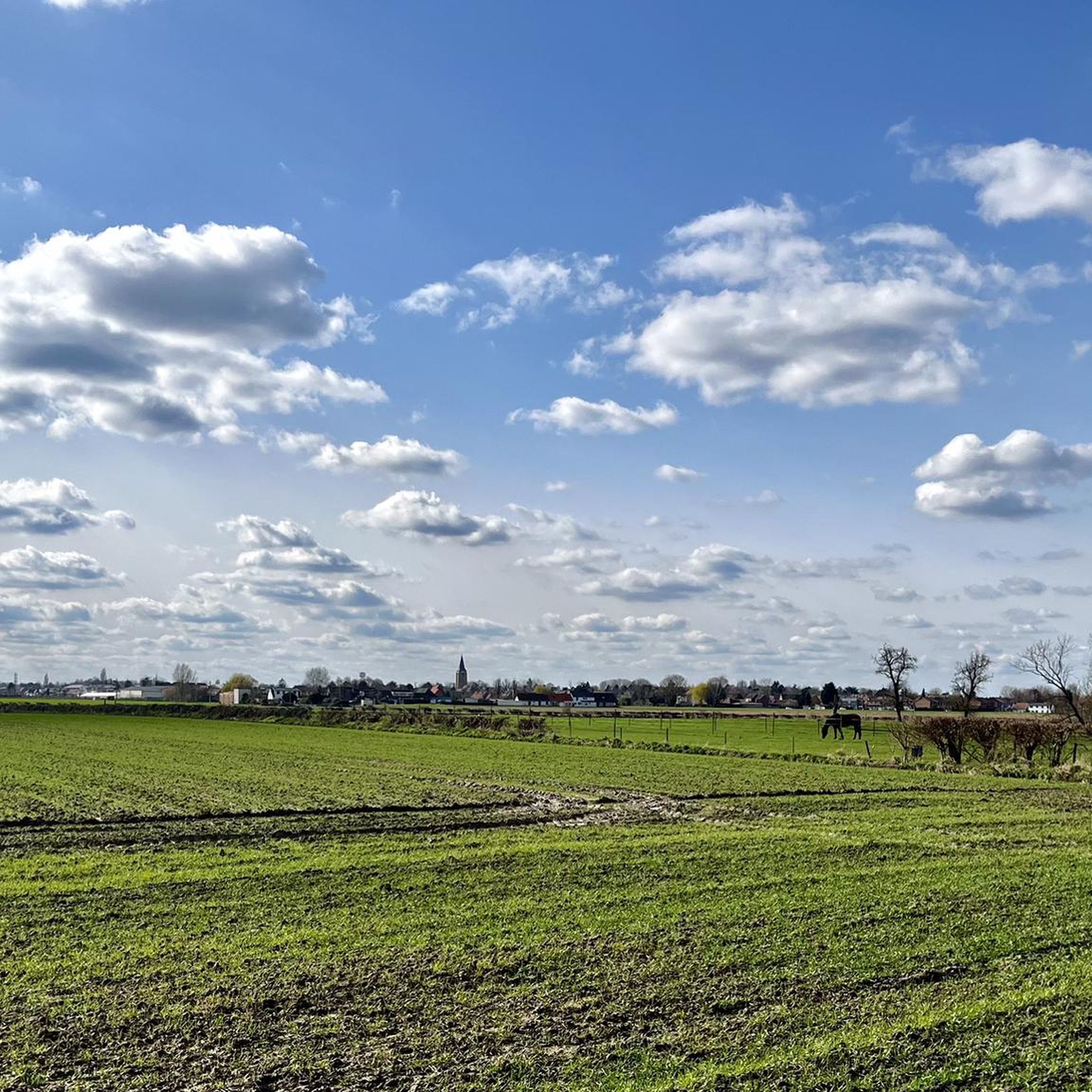
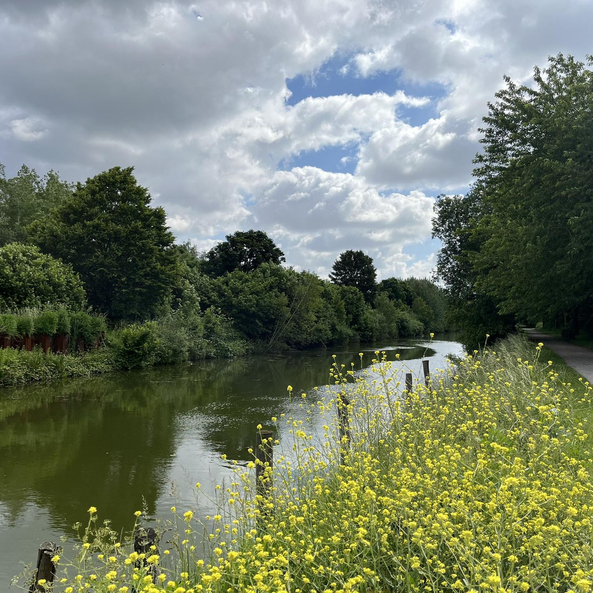
Touring cycling around Estaimpuis offers routes through a landscape characterized by canals, rivers, and gently rolling terrain. The region features a network of paths often following waterways, providing a generally flat to mildly undulating profile suitable for cycling. Some routes may include views of distant hills or pass through small forested areas, contributing to varied scenery.
Best touring cycling routes around Estaimpuis
- The most popular touring cycling route is Bois d'Infière Boardwalk – As the water flows loop from Toufflers…
Last updated: August 25, 2026
4.5
(2)
16
riders
Easy bike ride. Great for any fitness level. Mostly paved surfaces. Suitable for all skill levels.
5.0
(2)
10
riders
31.8km
02:03
60m
60m
Moderate bike ride. Good fitness required. Mostly paved surfaces. Suitable for all skill levels.

Sign up for free
15
riders
42.0km
02:24
130m
130m
Moderate bike ride. Good fitness required. Mostly paved surfaces. Suitable for all skill levels.
4.0
(2)
15
riders
13.0km
00:47
20m
20m
Easy bike ride. Great for any fitness level. Mostly paved surfaces. Suitable for all skill levels.
13
riders
46.4km
03:00
170m
170m
Moderate bike ride. Good fitness required. Mostly paved surfaces. Suitable for all skill levels.
Get access to more routes and recommendations from other explorers.
Sign up for free
Already have an account?
Our route recommendations are based on thousands of hikes, rides, and runs completed by other people on komoot.
Start today with a free account
Your next adventure awaits.
Login or Signup

Tips from the Community

Traverse the field completely, hold on, it's bumpy!
0
0

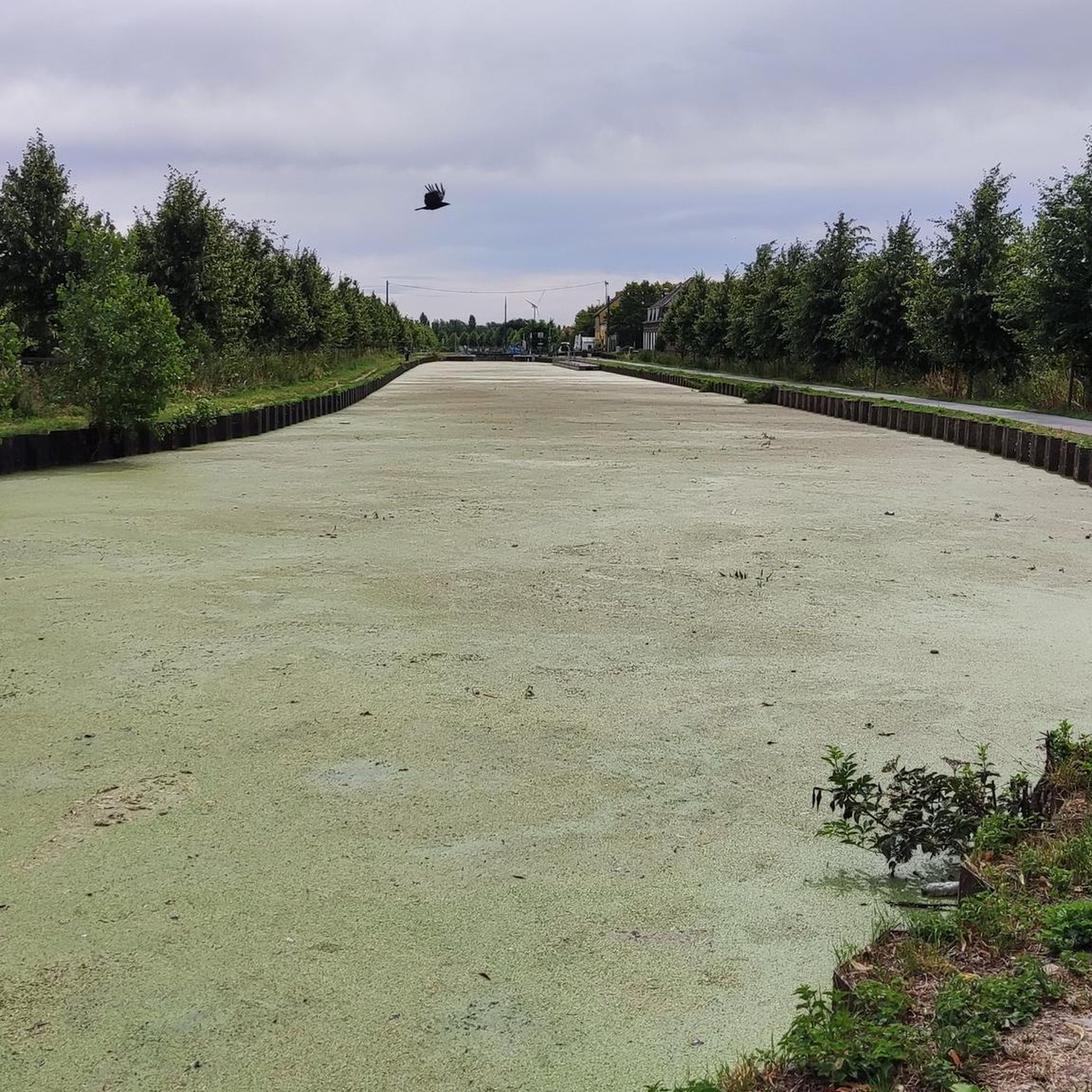
Smooth tarmac, but be carefull as nothing will stop you to fall into the canal, particularly for new skateboarders. One part of the track is halas closed for some months now.
0
0

Super nice when there are no others to be seen. And doubly pleasant when you have the wind at your back.
0
0

This is not the Vertain mill. It's on the Templeuve side.
0
0

The Roubaix indoor velodrome, located next to the legendary Vélodrome André Pétrieux, is officially called the Jean-Stablinski Regional Indoor Velodrome, also known as "Le Stab." The velodrome was built between 2010 and 2012. It is named after Jean Stablinski, a French cyclist who became the world road race champion in 1962. Source: Wikipedia
4
0
Until 1983, the last 300 meters of line 271 000, Roubaix-Wattrelos, ran here. At the other end, it connected to Belgian line 85 to Leupegem, Oudenaarde. The only 3.6 km long and never electrified line 271 000 no longer carried passenger trains after 1932.
3
0
The Canal de Roubaix connects the Deûle River to the Scheldt via the Espierres Canal. Plans for this canal date back to 1821, and it was deemed necessary to supply water and coal to the rapidly developing textile industries in Roubaix and Tourcoing. The first section of the canal begins at the Deûle and includes the canalization of part of the Marque River. This section opened in 1831. The connection from Roubaix to the Belgian-French border was also completed in 1843. The section through Belgium to the Scheldt, the Espierres Canal, was also opened at that time. A watershed existed between the two sections of the canal (between the Lys and the Scheldt), and a tunnel was planned, but this led to difficulties and delays. Therefore, an alternative route was chosen further north, also serving Tourcoing. This more northerly section opened in 1877. A branch of this section of the canal is the Canal de Tourcoing. This was completed in 1893. In 1985, the canal was closed due to dilapidated infrastructure. However, it was restored as an industrial heritage site and reopened to shipping in 2010. The canal is 20 km long and has 12 locks. Source: Wikipedia
3
0
The Mauroy Bridge is one of three movable bridges spanning the canal at Saint-Léger. Each bridge had a bridge keeper's house, where the bridge keeper lived, responsible for opening and closing the bridge each time a ship passed. These houses were often also cafés... or still are, as here. Just beyond the bridge, the old Mauroy farm bordered an imposing castle, the Mauroy Castle, designed by Sanderus in 1644. In 1504, the castle and the Mauroy estate belonged to Arnould de Maulde, a lord of the manor. Source: brochure "Promenade Saint-Léger"
3
0
Frequently Asked Questions
What is the general difficulty level of touring cycling routes in Estaimpuis?
Estaimpuis offers a variety of touring cycling routes suitable for different skill levels. You'll find 9 easy routes, 6 moderate routes, and 2 more challenging routes, making it accessible for beginners and experienced cyclists alike. The terrain is generally flat to mildly undulating, often following canals and rivers.
Are there circular touring cycling routes available in Estaimpuis?
Yes, many touring cycling routes in Estaimpuis are designed as loops, allowing you to start and end at the same point. For example, the Espierres Canal – Spierre-Helkijn Bridge loop from Leers-Nord is an easy 19.5-mile circular path that follows the canal and crosses bridges.
What are the typical distances for touring cycling routes in Estaimpuis?
The touring cycling routes in Estaimpuis vary in length. You can find shorter rides like the La Maison du Canal – Leers-Nord Lock loop from Leers at 12.8 miles (20.6 km), up to longer options such as the Bois d'Infière Boardwalk – As the water flows loop from Toufflers, which is 26.6 miles (42.8 km).
Are the touring cycling routes in Estaimpuis suitable for families?
Absolutely. Many of the routes, particularly the easy ones that follow canal-side paths, are well-suited for families. The generally flat terrain and scenic waterways provide a pleasant and safe environment for cyclists of all ages. The Mauroy Drawbridge – Petit Preux Drawbridge loop from Pecq is an easy 13.6-mile option that families might enjoy.
What natural sights can I see while touring cycling in Estaimpuis?
The region offers several natural attractions along its routes. You might encounter areas like Vert Bois de Blandain, a forest, or the serene Heron Lake. Some routes also offer views of distant hills, such as Mont-Saint-Aubert.
Are there any historical landmarks or castles to explore near the cycling routes?
Yes, Estaimpuis and its surroundings are dotted with historical sites. You could cycle past the Ruins of la Royère castle, or discover the elegant Château de La Fontaine. These offer interesting stops and photo opportunities during your ride.
What is the best time of year for touring cycling in Estaimpuis?
The most pleasant times for touring cycling in Estaimpuis are typically spring, summer, and early autumn. During these seasons, the weather is generally mild, and the natural landscapes along the canals and rivers are at their most vibrant. Always check the local weather forecast before heading out.
Are there options for more advanced touring cyclists seeking a challenge?
While much of the terrain is gentle, there are a couple of more difficult routes for those seeking a greater challenge. These routes may feature longer distances or slightly more varied elevation changes compared to the predominantly flat canal paths. The View of Mont-Saint-Aubert – Mont-Saint-Aubert loop from Bailleul, for instance, includes more significant elevation gain.
Is parking available near the starting points of the touring cycling routes?
Yes, parking is generally available in the towns and villages that serve as starting points for many of the touring cycling routes. Look for public parking areas in places like Leers-Nord, Toufflers, or Pecq, which are common access points for these trails.
What do other touring cyclists enjoy most about cycling in Estaimpuis?
The touring cycling experience in Estaimpuis is highly rated by the komoot community, with an average score of 4.4 stars from over 1,200 reviews. Cyclists often praise the peaceful canal-side paths, the gentle terrain suitable for all levels, and the charming scenery that defines the region.
Can I find places to eat or drink along the touring cycling routes?
Yes, as many routes pass through or near small towns and villages, you will often find opportunities to stop for refreshments. These local establishments offer a chance to experience regional hospitality and refuel during your ride.
Most popular routes around Estaimpuis
Most popular attractions around Estaimpuis

Get inspired with the komoot mobile app


Explore more
Browse the best Cycling routes in other regions.
