The best mountain hikes around Forsand
4.4
(9)
66
hikers
7
hikes
Mountaineering routes around Forsand offer dramatic landscapes and unique natural features in Fjord Norway. The region is characterized by its mountainous terrain, deep fjords, and rugged cliffs, providing a challenging environment for outdoor activities. Iconic attractions such as Preikestolen (Pulpit Rock) and Kjeragbolten are prominent natural features, drawing mountaineers to explore the varied elevation and terrain. This area provides a stunning backdrop for a wide array of mountaineering experiences.
Best mountaineering routes around Forsand
- The most popular mountaineering route is View of Edlandsvatnet – Preikestolen (Pulpit Rock) loop from Vatne, a 5.2 miles (8.4 km) trail that takes 3 hours 23 minutes to complete. This route offers panoramic views of the Lysefjord from the iconic Preikestolen.
- Another top favourite among local mountaineers is Kjeragbolten – Lysefjord Viewpoint loop from Venekvævtjørna, a difficult 12.1 miles (19.5 km) path. This route features significant elevation gain and leads to the famous Kjeragbolten boulder and stunning Lysefjord viewpoints.
- Local mountaineers also love the Eikelitjørna – Sokkanuten loop from Levik, a 2.9 miles (4.7 km) trail leading through varied terrain, often completed in about 1 hour 46 minutes.
- Mountaineering around Forsand is defined by dramatic landscapes, mountainous terrain, and deep fjords. The network offers options for different ability levels, from easier paths to challenging ascents.
- The routes in Forsand are highly rated by the komoot community with an average score of 4.5 stars from over 130 reviews. More than 700 mountaineers have used komoot to explore Forsand's varied terrain.
Last updated: July 12, 2026
4.5
(4)
32
hikers
17.6km
06:00
620m
620m
Hard mountaineering route. Very good fitness required. Sure-footedness, sturdy shoes and alpine experience required.
5.0
(1)
9
hikers
4.45km
01:42
300m
300m
Easy mountaineering route. Great for any fitness level. Easily-accessible paths. Suitable for all skill levels.

Sign up for free
3
hikers
19.5km
07:29
750m
750m
Hard mountaineering route. Very good fitness required. Sure-footedness, sturdy shoes and alpine experience required.
7
hikers
5.36km
03:18
530m
530m
Hard mountaineering route. Good fitness required. Sure-footedness, sturdy shoes and alpine experience required.
4.0
(2)
6
hikers
4.17km
01:34
250m
250m
Hard mountaineering route. Great for any fitness level. Sure-footedness, sturdy shoes and alpine experience required.
Get access to more routes and recommendations from other explorers.
Sign up for free
Already have an account?
Our route recommendations are based on thousands of hikes, rides, and runs completed by other people on komoot.
Start today with a free account
Your next adventure awaits.
Login or Signup
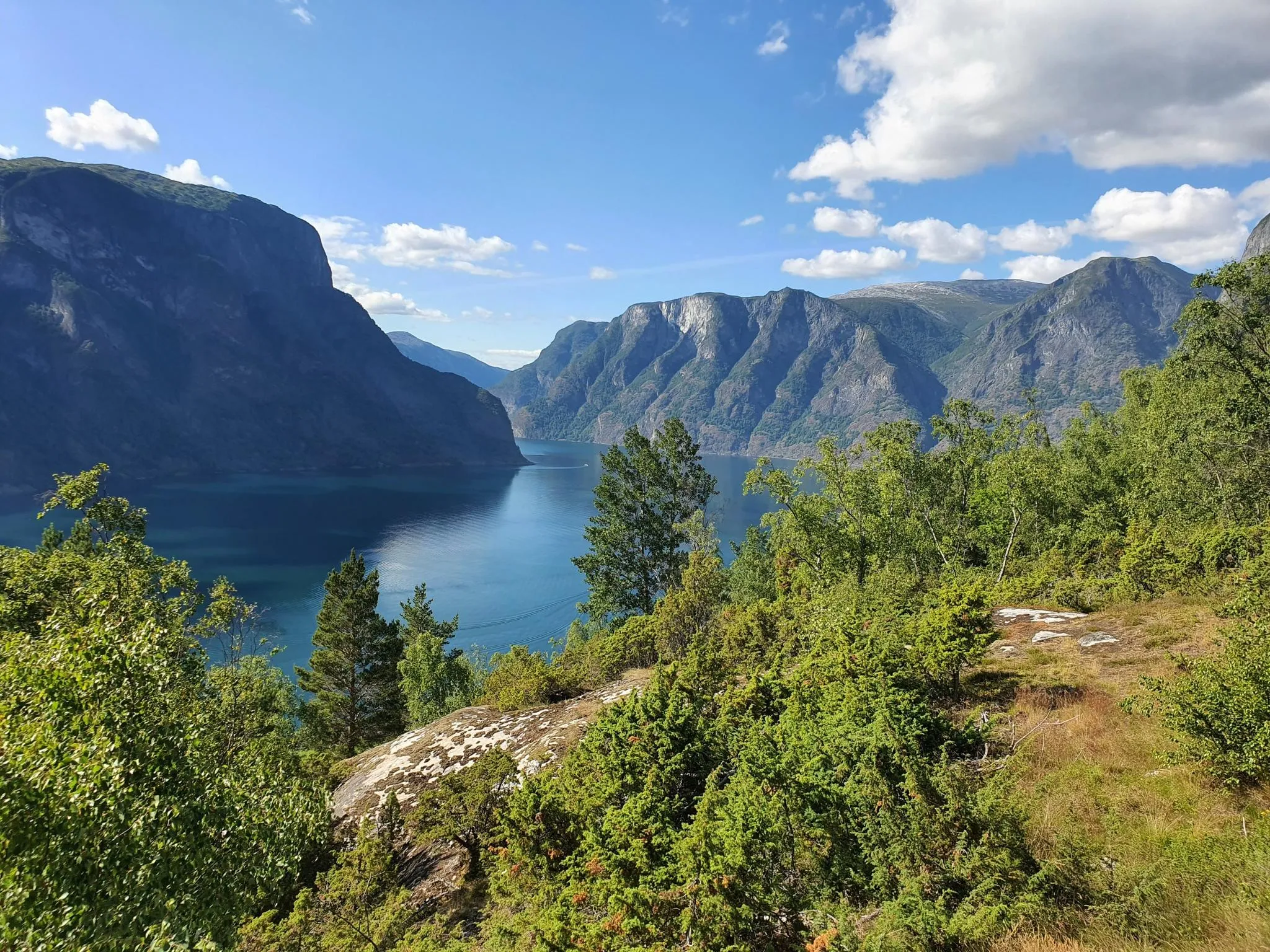
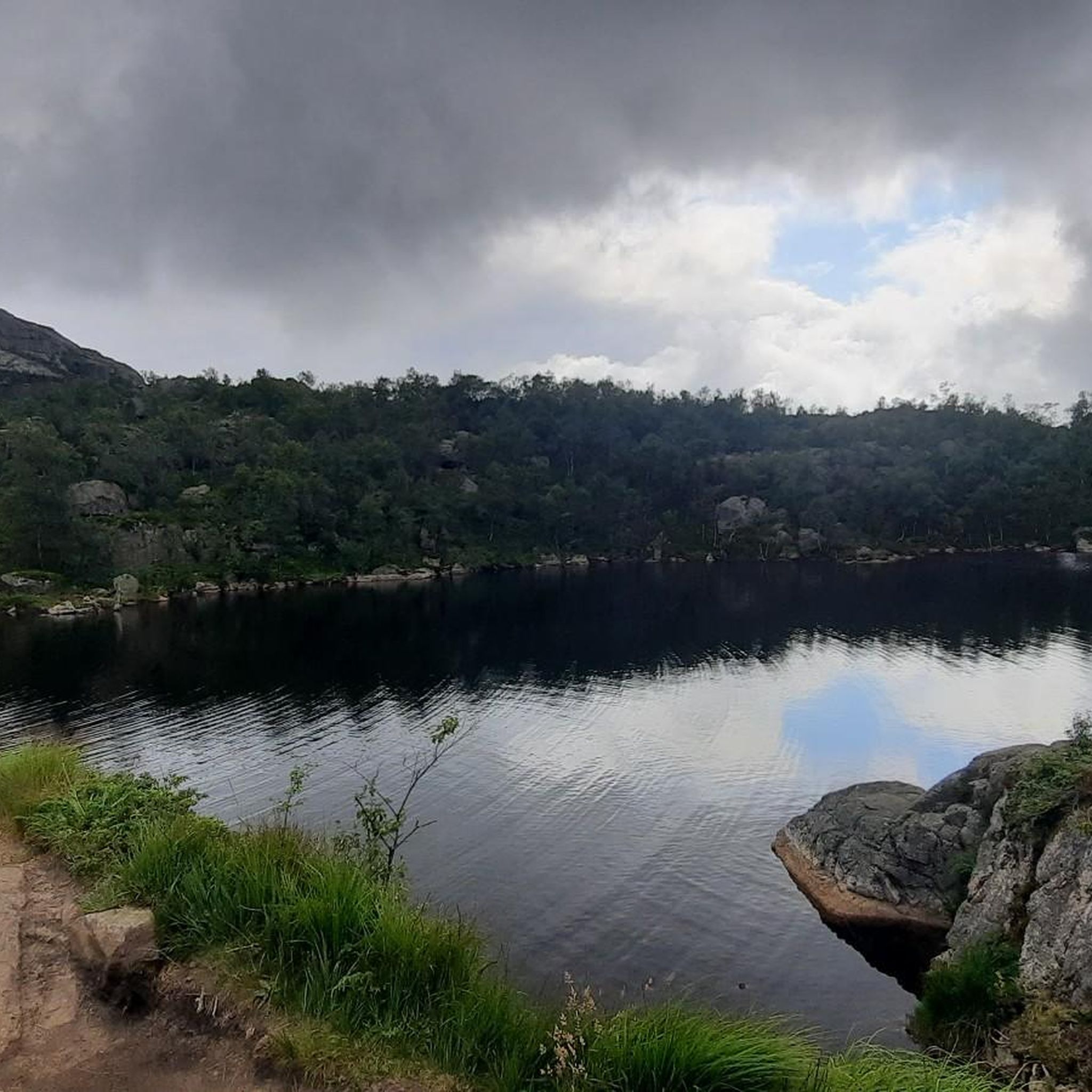
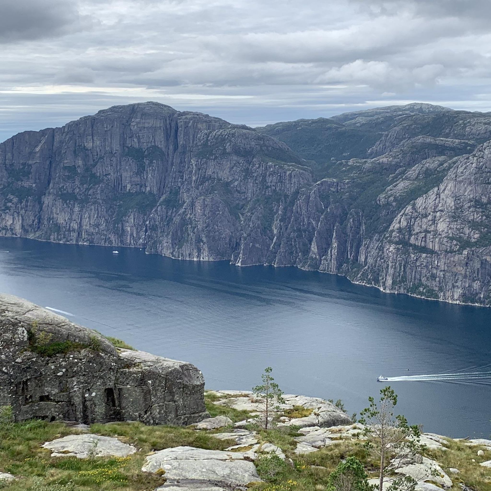
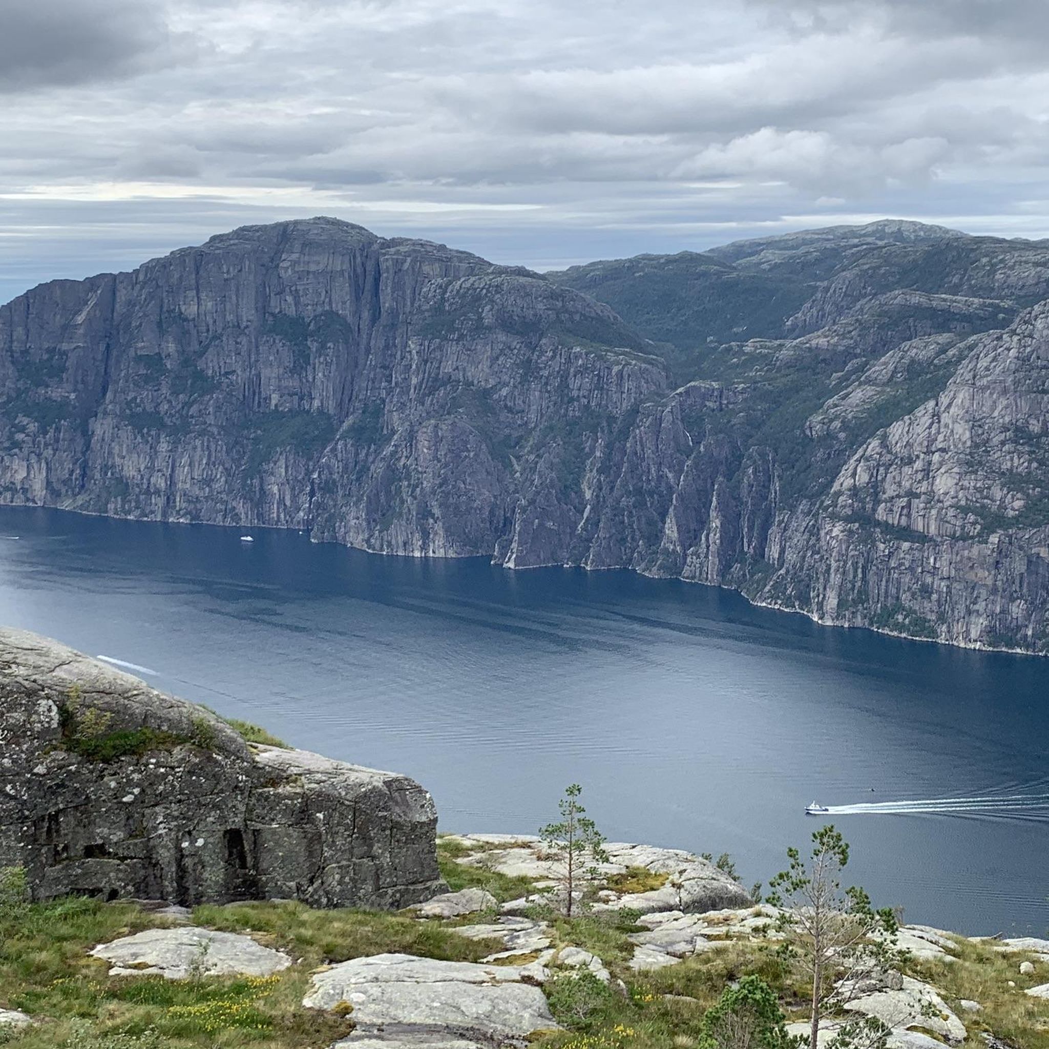
Other adventures around Forsand

Tips from the Community

From the summit of Mule, you have one of the most beautiful views of the fjord. The view stretches far into the distance, allowing you to see the fjord in all its depth, all the way to where it meets the sea. As an added bonus, there is even a bench where you can sit and enjoy the view for as long as you like.
0
0
This small wooden bridge allows you to cross the Dirdalsana River, where the most beautiful hikes in the area begin. Take the time to stop in the middle to admire the view on both sides. On the west side, you can see the mouth of the river, still wide, surrounded by green mountains. What a beautiful sight!
0
0


great view of the surrounding area
0
0

Highly recommended. Delicious food, friendly staff, and a great view.
0
0

Almost more impressive than Kjeragbolten.
0
0

As well as being the start point for the popular route to Preikestolen, there are a range of activities available here, inclucing swimming in Refsvatnet lake. There are also some accommodation options to choose from.
0
0

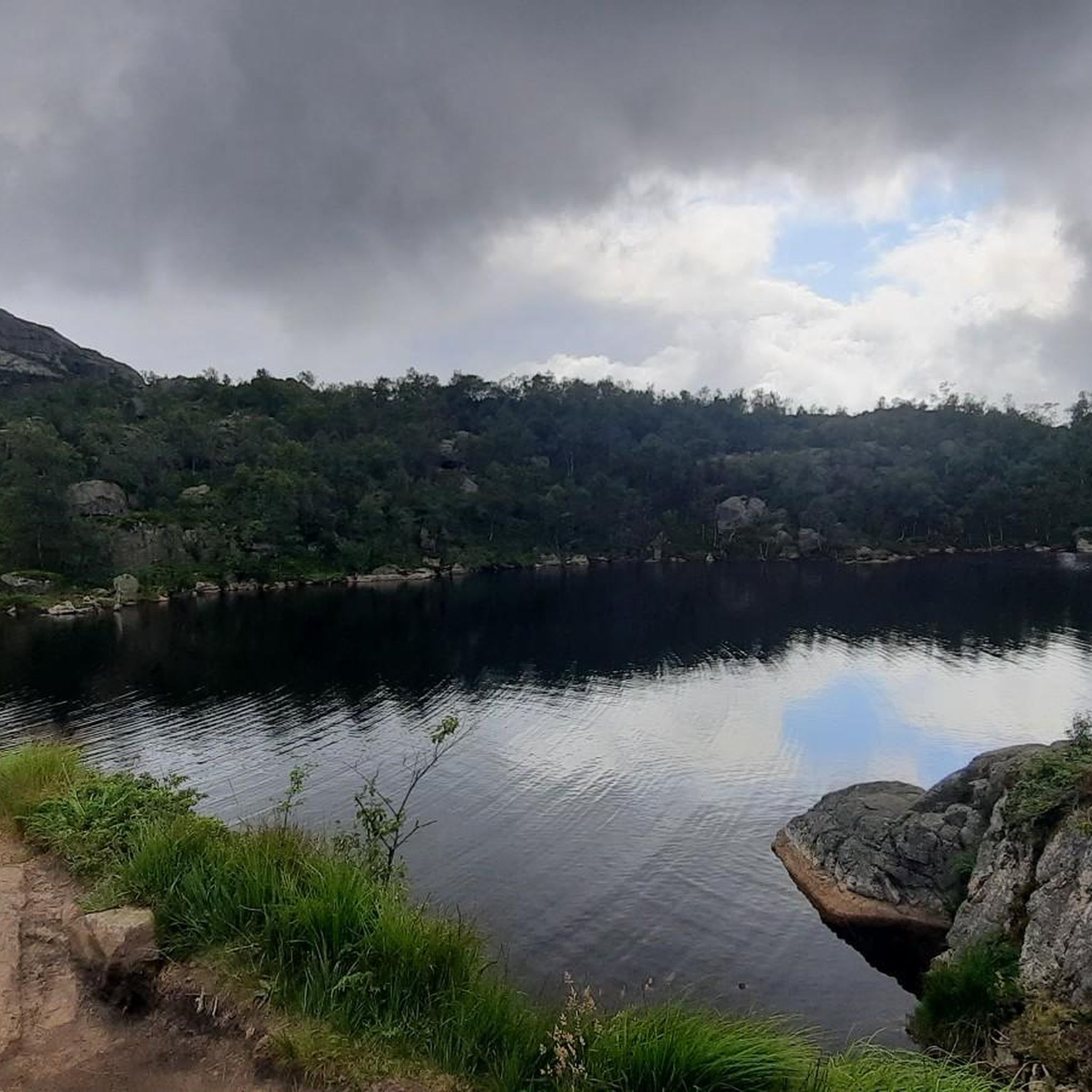
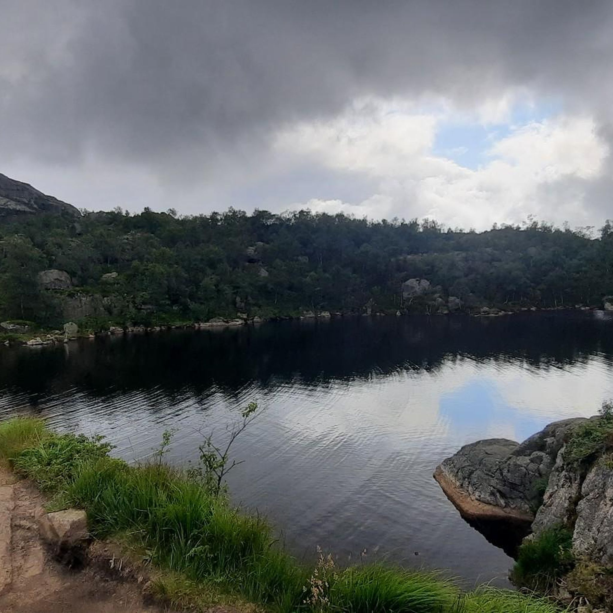
This nameless lake makes for a picture-postcard view! A great spot for a break or to pitch your tent for the night.
0
0
Frequently Asked Questions
How many mountaineering routes are available in Forsand?
Forsand offers a diverse selection of over 8 mountaineering routes, catering to various skill levels. These routes are highly regarded by the komoot community, with an average rating of 4.5 stars.
What kind of terrain can I expect on mountaineering routes in Forsand?
Mountaineering in Forsand is characterized by dramatic landscapes, mountainous terrain, and deep fjords. You'll encounter varied surfaces, from rugged cliffs and rocky paths to boggy sections with wooden boardwalks, especially on routes leading to iconic viewpoints like Preikestolen. The region's geology, with steep cliffs plunging into the sea, provides a challenging and rewarding environment.
Are there any easy mountaineering routes suitable for beginners?
Yes, Forsand offers routes suitable for those new to mountaineering. For instance, the Eikelitjørna – Sokkanuten loop from Levik is an easier 2.9-mile (4.7 km) trail that can typically be completed in under two hours, providing a great introduction to the area's beauty.
What are some of the most challenging mountaineering routes in Forsand?
For experienced mountaineers seeking a challenge, Forsand delivers. The Kjeragbolten – Lysefjord Viewpoint loop from Venekvævtjørna is a difficult 12.1-mile (19.5 km) path with significant elevation gain, leading to the famous Kjeragbolten boulder. Another demanding option is the View of Edlandsvatnet – Tjødnane loop from Jøssang, a 17.5 km route with over 600 meters of ascent.
What natural features and landmarks can I see along the routes?
Forsand is home to spectacular natural features. Many routes offer views of the majestic Lysefjord. You can also visit iconic landmarks like Preikestolen (Pulpit Rock), offering breathtaking panoramic views, or the famous Kjeragbolten boulder. Other points of interest include the Lysevegen Road and various serene lakes like Beautiful lake views.
Are there any circular mountaineering routes in the area?
Yes, many of Forsand's mountaineering routes are designed as loops, allowing you to experience diverse scenery without retracing your steps. Examples include the popular View of Edlandsvatnet – Preikestolen (Pulpit Rock) loop from Vatne and the challenging Ramnstoknuten – Mulen loop from Dirdal.
What do other mountaineers enjoy most about the routes in Forsand?
The komoot community highly rates the mountaineering routes in Forsand, with an average score of 4.5 stars from over 130 reviews. Users frequently praise the unparalleled scenic beauty, especially the panoramic views of the Lysefjord and the dramatic rock formations like Preikestolen and Kjeragbolten. The challenging yet rewarding nature of the trails is also a common highlight.
Are there places to stay or eat near the mountaineering trails?
Yes, there are options for accommodation and refreshments. You can find mountain huts like the Emergency Shelter at Refsvatnet or the Preikestolen Mountain Lodge. For a bite to eat, consider the Kjerag Café, which also offers views of Lysefjord and the Lysebotn Switchbacks.
Is it possible to reach the trailheads using public transport?
While specific public transport options vary by trailhead, services often operate to popular starting points, especially during peak season. For detailed and up-to-date information on public transport to major attractions like Preikestolen or Kjerag, it's advisable to check local transport schedules before your trip.
What are the parking facilities like for mountaineering routes in Forsand?
Parking is generally available at the trailheads of major mountaineering routes, including those leading to Preikestolen and Kjerag. These facilities may be paid and can fill up quickly during peak season, so arriving early is recommended. Always check specific parking information for your chosen route in advance.
Are there any family-friendly mountaineering options in Forsand?
While many routes are challenging, some shorter and less strenuous options might be suitable for families with older children who are accustomed to hiking. The Eikelitjørna – Sokkanuten loop from Levik, for example, is an easier route that could be considered, depending on the family's experience and fitness level.
What is the best time of year for mountaineering in Forsand?
The best time for mountaineering in Forsand is typically during the late spring, summer, and early autumn months (roughly May to October). During this period, trails are generally free of snow, and the weather is more stable. However, conditions can change rapidly in the mountains, so always check the forecast and be prepared for varying weather.
Most popular routes around Forsand
Most popular attractions around Forsand

Get inspired with the komoot mobile app


Explore more
Browse the best Mountain Hikes & Routes in other regions.
