The best walks and hikes around Framingham Pigot
4.6
(528)
5,248
hikers
403
hikes
Hiking around Framingham Pigot offers a network of trails through the gentle, low-lying landscape of Norfolk. The region is characterized by open countryside, riverside paths, and meadows, with minimal elevation changes. These routes often traverse agricultural land and provide views of local waterways and rural scenery. The terrain is generally flat, making it accessible for various activity levels.
Best hiking trails around Framingham Pigot
- The most popular hiking route is Surlingham Circular Walk, a 3.7 miles (5.9 km) trail that takes 1 hour 32 minutes to complete. This easy route explores the area around Surlingham, offering pleasant countryside views.
- Another top favourite among local hikers is St Mary's Church, Surlingham loop from Bramerton, a moderate 6.2 miles (10.0 km) path. This trail features a mix of open fields and paths near the River Yare, providing a longer exploration of the local area.
- Local hikers also love the Wildflower Meadow – Wildflower Meadow Footpath loop from Caistor St Edmund, a 2.5 miles (4.0 km) trail leading through wildflower meadows and rural footpaths, often completed in about 1 hour 5 minutes.
- Hiking around Framingham Pigot is defined by gentle countryside, riverside paths, and open meadows. The network offers options for easy family walks as well as more moderate, longer excursions.
- The routes in Framingham Pigot are highly rated by the komoot community with an average score of 4.6 stars from over 500 reviews. More than 5000 hikers have used komoot to explore Framingham Pigot's varied terrain.
Last updated: July 9, 2026
4.4
(16)
87
hikers
5.90km
01:32
40m
40m
Embark on the Surlingham Circular Walk, an easy hike covering 3.7 miles (5.9 km) with a gentle elevation gain of 127 feet (39 metres), typically completed in about 1 hour and 32 minutes. This route guides you through a diverse landscape of riverside paths along the River Yare, winding wetland boardwalks, and tranquil trails that cut through fens and woodlands. You will experience the unique atmosphere of the Norfolk Broads, offering plenty of opportunities for birdwatching, especially around the RSPB Church Marsh Nature Reserve. Keep an eye out for the evocative ruins of St Saviours Church, a historical landmark that adds a unique touch to your journey. The varied terrain ensures a refreshing and engaging experience for hikers of all levels.
Planning your visit to the Surlingham Circular Walk is straightforward, as the route is generally accessible throughout the year. You will find parking typically available near the various starting points, making it convenient to begin your hike. After your walk, consider stopping at local establishments like The Ferry House Pub, which offers a welcoming spot to rest and refuel. This trail is suitable for most fitness levels, and you can enjoy it during any season, though spring and autumn often provide the most pleasant conditions.
This circular route is a prime example of the unique Norfolk Broads landscape, characterized by its extensive network of rivers, fens, and woodlands. It offers a fantastic opportunity to immerse yourself in the region's natural beauty and observe its rich birdlife. The Surlingham Circular Walk also forms part of the longer Wherryman's Way, a notable long-distance footpath, making it an excellent choice if you are looking to explore a segment of this historic trail. It stands out as a gentle yet rewarding exploration of a distinctive English natural park.
4.7
(3)
28
hikers
20.6km
05:23
150m
150m
Hard hike. Very good fitness required. Easily-accessible paths. Suitable for all skill levels.

Sign up for free
5.0
(2)
18
hikers
9.07km
02:21
50m
50m
Moderate hike. Good fitness required. Easily-accessible paths. Suitable for all skill levels.
14
hikers
Easy hike. Great for any fitness level. Easily-accessible paths. Suitable for all skill levels.
8
hikers
Easy hike. Great for any fitness level. Easily-accessible paths. Suitable for all skill levels.
Get access to more routes and recommendations from other explorers.
Sign up for free
Already have an account?
Our route recommendations are based on thousands of hikes, rides, and runs completed by other people on komoot.
Start today with a free account
Your next adventure awaits.
Login or Signup


Tips from the Community

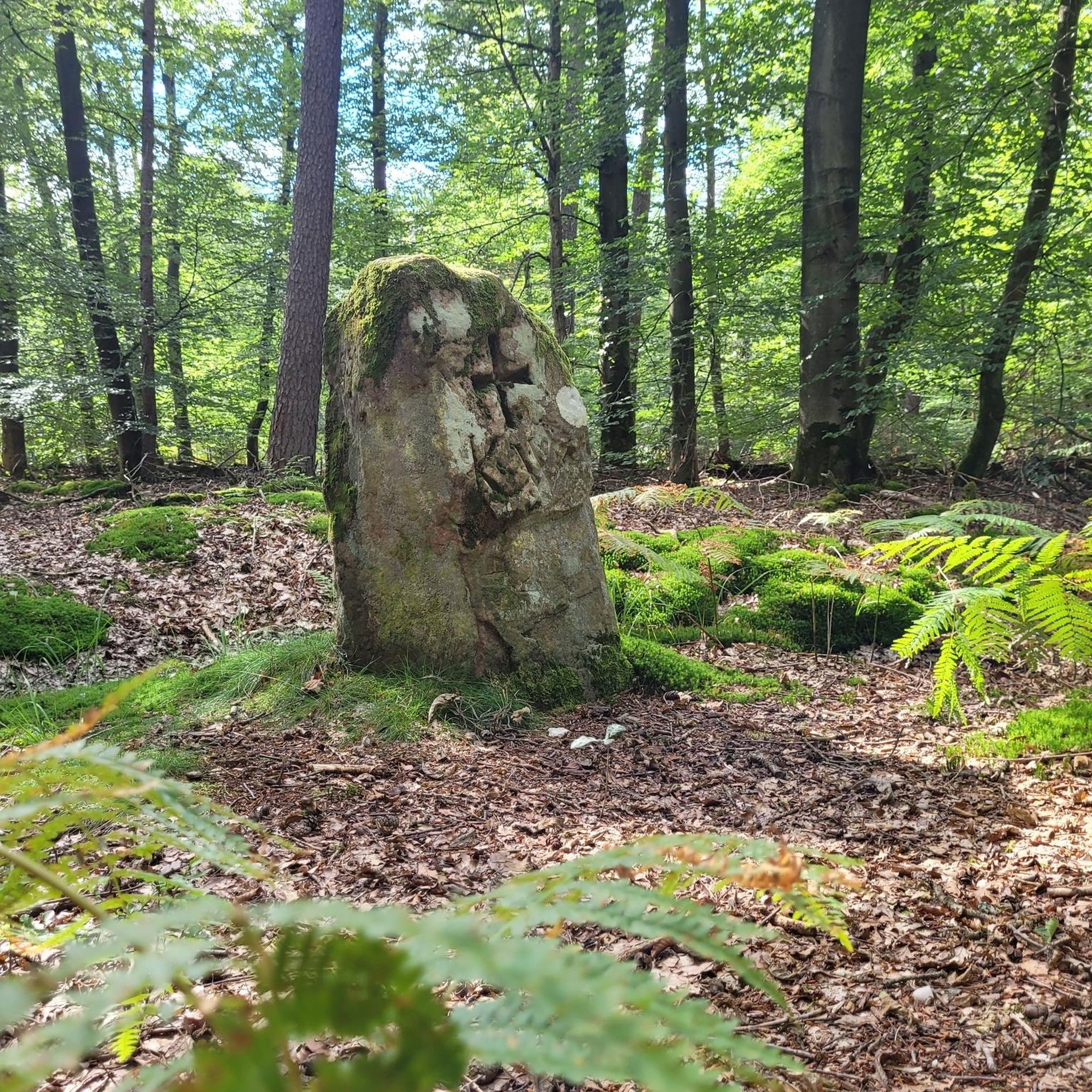
Added to the collection: komoot.com/de-de/collection/3600632/-naturdenkmaeler-besondere-baeume-und-weitere-schaetze-der-natur
0
0

One of several art installations around the cathedral.
0
0

The Royal Arcade Norwich, beautiful Victorian architecture and Art Nouveau mix. Built and designed by George Skipper, opened in 1899. Eclectic mix of small shops and restaurants.
0
0

Lovely reserve with some flat running. Toilets and car park.
0
0

This is a magical looking tree along Hallback Lane that features twisted branches and knotted trunks.
1
0

Impressive fortress that still dominates the centre of Norwich. Now a museum.
0
0

Tgg hi et serve food and drinks all day ever day! Lovely spot to rest
0
0

The Coffee Van is only available on Saturday and Sunday 10:00 - 15:00 for 2024
0
0
Frequently Asked Questions
How many hiking trails are there in Framingham Pigot?
There are over 400 hiking routes around Framingham Pigot, offering a wide variety of options for exploring the gentle Norfolk landscape. Over 280 of these are classified as easy, making the area very accessible.
What kind of terrain can I expect on hikes around Framingham Pigot?
The terrain is predominantly flat and gentle, characterized by open countryside, riverside paths, and meadows. You'll often traverse agricultural land with minimal elevation changes, providing pleasant views of local waterways and rural scenery.
Are there easy hikes suitable for families or beginners?
Yes, Framingham Pigot is ideal for families and beginners due to its gentle, low-lying landscape. Over 280 routes are classified as easy. A great option is the Wildflower Meadow – Wildflower Meadow Footpath loop from Caistor St Edmund, a pleasant 2.5-mile trail through meadows.
Are there any circular walks available in the area?
Many of the routes around Framingham Pigot are circular, allowing you to start and end at the same point. The Surlingham Circular Walk is a popular 3.7-mile option that explores the countryside around Surlingham.
What do other hikers enjoy most about hiking in Framingham Pigot?
The area is highly rated by the komoot community, with an average score of 4.6 stars from over 500 reviews. Hikers frequently praise the peaceful countryside, accessible flat paths, and the scenic riverside sections.
What interesting landmarks or attractions can I see along the hiking trails?
While hiking, you can explore various points of interest. Near some routes, you might find natural attractions like Whitlingham Great Broad or the RSPB Rockland Marshes Nature Reserve. Further afield, you can visit historical sites such as Norwich Castle or Norwich Cathedral.
Are there any longer, more challenging hikes in the region?
While the region is known for its gentle trails, there are some longer, moderate options. The St Mary's Church, Surlingham loop from Bramerton is a moderate 6.2-mile path that combines open fields with riverside sections, offering a longer exploration of the area.
What is the best time of year to hike around Framingham Pigot?
The gentle landscape makes Framingham Pigot enjoyable year-round. Spring and summer offer vibrant wildflowers and lush greenery, while autumn brings beautiful colors. Winter hikes are also pleasant due to the minimal elevation and generally well-maintained paths, though conditions can be muddy after rain.
Are there any pubs or places to eat near the hiking trails?
Yes, the region has local establishments where you can refuel. For example, The Water's Edge Pub is a popular spot that can be found near some of the routes, offering a chance to relax after your walk.
What should I wear for hiking in Framingham Pigot?
Given the generally flat and often open terrain, comfortable walking shoes or boots are recommended. Layers are always a good idea, as weather can change. In wetter conditions, waterproof outerwear and appropriate footwear will be beneficial, especially on riverside or agricultural paths.
Are there any trails that offer views of the River Yare?
Yes, several trails in the area incorporate sections along the River Yare. The St Mary's Church, Surlingham loop from Bramerton is one such route that features paths near the river, providing scenic waterside views.
How long do hikes typically take in Framingham Pigot?
Hike durations vary depending on the route's length and your pace. Many easy trails, like the 2.5-mile Wildflower Meadow – Wildflower Meadow Footpath loop, can be completed in about an hour. Longer, moderate routes, such as the 6.2-mile St Mary's Church, Surlingham loop, might take around 2.5 to 3 hours.
Most popular routes around Framingham Pigot
Most popular attractions around Framingham Pigot

Get inspired with the komoot mobile app


Explore more
Browse the best Hikes in other regions.
