The best cycling routes around Zorneding
4.6
(228)
1,848
riders
99
rides
Touring cycling routes around Zorneding are situated at the edge of the Bavarian foothills of the Alps, offering varied terrain for cyclists. The region features rolling hills, green meadows, and extensive forest areas like the Ebersberger Forst. Numerous lakes, including Steinsee and Egglburger Lake, provide scenic points of interest along the trails. The landscape combines natural beauty with well-developed cycling paths.
Best touring cycling routes around Zorneding
- The most popular touring cycling route is St. Hubertus Forest Lodge – Egglburger Lake loop from Zorneding, an 18.6 miles (29.9 km) trail that takes 1 hour 57 minutes to complete. This easy route leads through the Ebersberger Forst and past Egglburger Lake.
- Another top favourite among local touring cyclists is Steinsee – View of the Alps loop from Zorneding, a moderate 14.6 miles (23.4 km) path. This route offers views of the Alps and circles the clean waters of Steinsee.
- Local touring cyclists also love the Grassy Field and Forest Path – Steinsee loop from Zorneding, a 12.7 miles (20.4 km) trail leading through grassy fields and forest paths, often completed in about 1 hour 26 minutes.
- Touring cycling around Zorneding is defined by the Bavarian foothills, the Glonntal valley, the Ebersberger Forst, and several lakes. The network offers options for different ability levels, from easy rides to more challenging routes.
- The routes in Zorneding are highly rated by the komoot community with an average score of 4.7 stars from more than 180 reviews. More than 1500 touring cyclists have used komoot to explore Zorneding's varied terrain.
Last updated: October 21, 2026
4.5
(13)
164
riders
49.3km
02:55
150m
150m
Moderate bike ride. Good fitness required. Mostly paved surfaces.
4.5
(30)
106
riders
29.9km
01:53
150m
150m
Easy bike ride. Mostly paved surfaces.

4.5
(15)
117
riders
23.4km
01:33
180m
180m
Moderate bike ride. Good fitness required. Mostly paved surfaces.
4.0
(6)
66
riders
20.4km
01:17
130m
130m
Easy bike ride. Mostly paved surfaces.
4.5
(4)
50
riders
24.2km
01:31
220m
220m
Moderate bike ride. Good fitness required. Mostly paved surfaces.
Get access to more routes and recommendations from other explorers.
Already have an account?
Our route recommendations are based on thousands of hikes, rides, and runs completed by other people on komoot.
Start today with a free account
Your next adventure awaits.
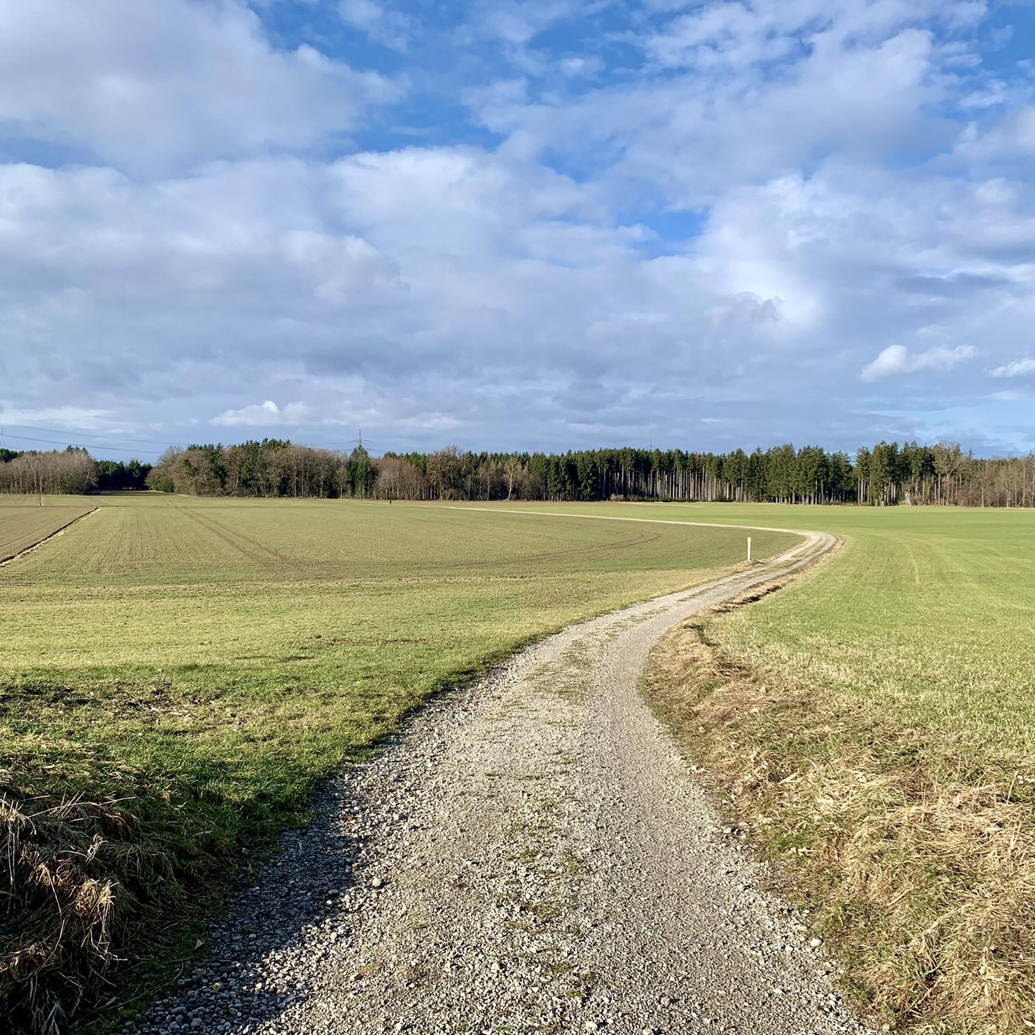
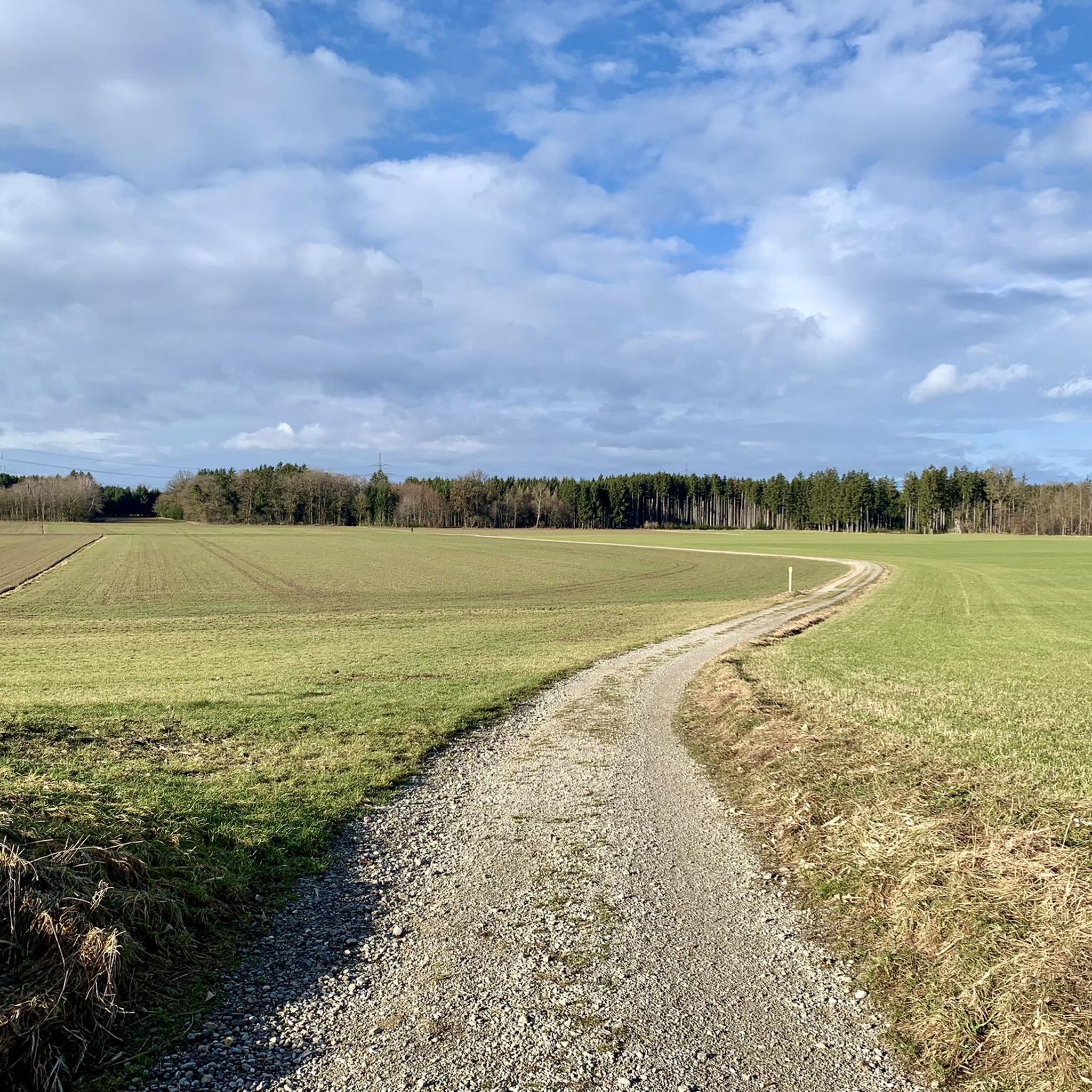
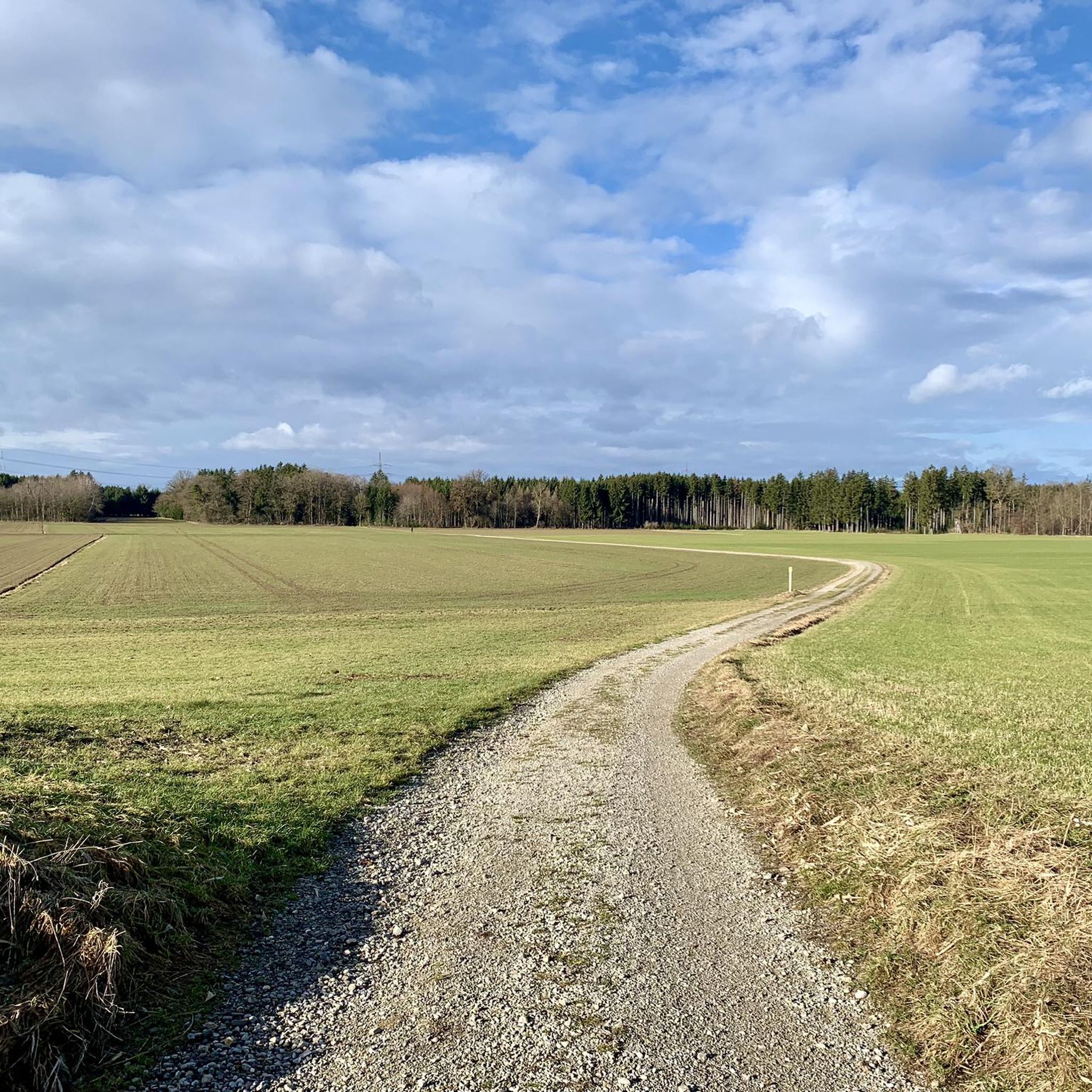
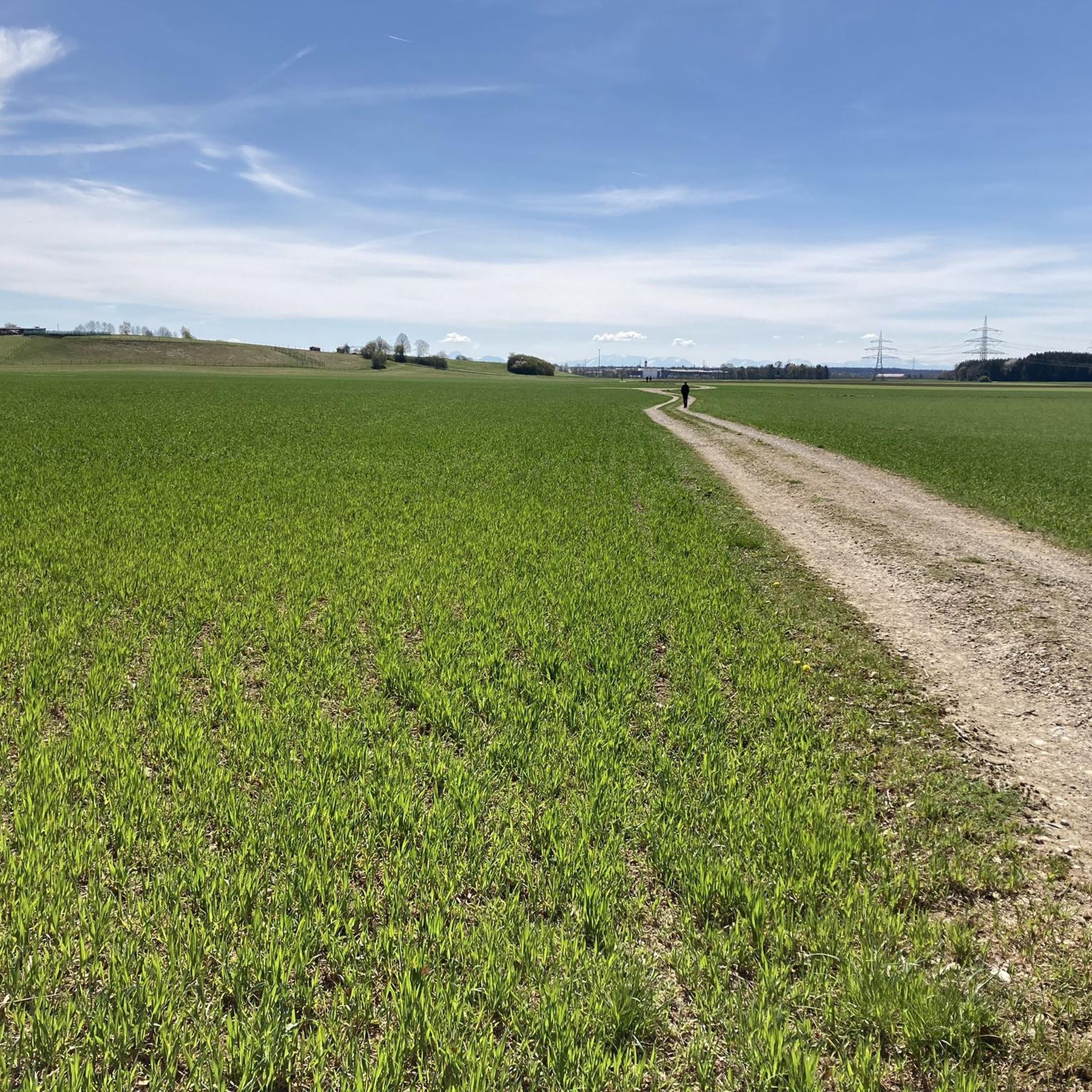
Tips from the Community

The square received its name in 1808; it was there that the fairs, horse markets, and military parades were held.
0
0

The chapel, designed as a hall church, was built in the first half of the 18th century.
0
0

The Eisbach and Schwabinger Bach are two artificially created waterways in Munich's English Garden, fed by the Isar River. The Eisbach is best known for its famous standing wave, considered a unique urban surfing spot. The Schwabinger Bach flows through the northern part of the English Garden and is a popular place for walking, relaxing, and water sports. Both streams contribute significantly to the park's recreational and natural atmosphere.
44
1

Continuation of the Munich Cycling Tour #3 "Old Town Cycling Ring and More" (with accompanying booklet) More information at https://muenchenunterwegs.de/angebote/muenchen-neu-entdecken We cycle along the Ludwigsbrücke bridge over Zweibrückenstraße towards the Isartor, one of Munich's three remaining city gates. At Isartorplatz, we turn right onto Thomas-Wimmer-Ring, a section of the Altstadtring, which we follow north to Maximilianstraße. Along with Ludwigstraße, Prinzregentenstraße, and Brienner Straße, Maximilianstraße is one of the four boulevards of significant urban development from the 19th century. This important traffic artery connects Max-Joseph-Platz in the Old Town with the Maximilianeum on the eastern bank of the Isar. The design of numerous buildings on Maximilianstraße is the work of the architect Friedrich Bürklein. He combined elements of various stylistic periods, such as Neo-Gothic and Renaissance, to create his own distinctive Maximilian style. In addition to the Galerie der Künstler, the Museum Fünf Kontinente (Museum of Five Continents), the Government of Upper Bavaria, and the Hotel Vier Jahreszeiten, the Munich Kammerspiele (Munich Chamber Theater), the Residenzpost (Residence Post Office), and finally the Bavarian National Theater on Max-Joseph-Platz are important institutions on Maximilianstraße. We cross Maximilianstraße and stay on the Altstadtring (Old Town Ring), which is called Karl-Scharnagl-Ring here, for a few meters until we turn right onto Bürkleinstraße and head towards St.-Anna-Straße. Cycling Tip: Cycle Path on Thomas-Wimmer-Ring The 3.20-meter-wide cycle path on Thomas-Wimmer-Ring has been open since May 2022, further expanding the Altstadt-Radlring (Old Town Cycle Ring). The underground parking garage on Thomas-Wimmer-Ring opened in spring 2021. In addition to parking spaces for up to 520 cars, there is a mobility hotspot on the first basement level with a variety of sharing options and bicycle boxes for secure parking.
2
0

Nice place to take a break on this quiet road.
0
0
Continuation of the Munich Cycling Tour #3 "Altstadt-Radlring and more" (with accompanying booklet) More information at https://muenchenunterwegs.de/angebote/muenchen-neu-entdecken We continue south along the Altstadt-Radlring and cross Briennerstraße towards Maximiliansplatz. The square was created after the dismantling of the medieval city walls as part of Munich's urban expansion. It received its name in 1808. For a long time, it was the city's largest square. Annual fairs and markets gave it the nickname "Dultplatz." Only later was Maximiliansplatz landscaped. Today, it is a park bypassed by traffic on the Altstadtring (Old Town Ring Road), featuring several fountains and monuments to important figures. For example, that of Max von Pettenkofer. The chemist campaigned for the city's hygienic rehabilitation and was responsible for the establishment of a drinking water and sewage system in Munich in 1883. The Wittelsbach Fountain stands at the junction with Lenbachplatz. It was built between 1893 and 1895 by the sculptor Erwin Kurz based on plans by Adolf von Hildebrand in the Neoclassical style. In a 25-meter-wide basin set over two terraces, the primal forces of the element water are impressively depicted. The imposing fountain is a popular photo subject, especially at night when the lighting is at its best.
2
0

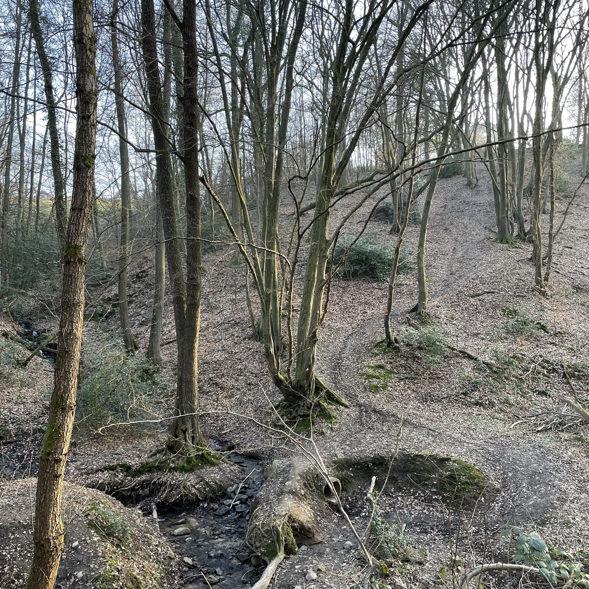
Great gravel route through the forest
1
0
Interesting facts about the Maximilianeum at a glance: 1. Built in 1874, the Maximilianeum marks the end of Maximilianstrasse. 2. A large part of the building was destroyed in the Second World War and rebuilt under the direction of architect Karl Kergl. 3. Since 1876, the Maximilianeum has been home to the student foundation of the same name, which supports particularly talented students. 4. The building has also been the seat of the Bavarian state parliament since 1949 and offers space for changing exhibitions. 5. Anyone who climbs the hill to the Maximilianeum can enjoy a great view over Munich - especially at sunset. Source: https://www.muenchen.de/sehenswuerdigkeiten/bauwerke-und-denkmaeler/maximilianeum
5
0
Frequently Asked Questions
How many touring cycling routes can I find around Zorneding?
Zorneding offers a wide selection of touring cycling routes, with over 90 different options available. These routes cater to various preferences, ranging from easy rides to more challenging paths through the diverse landscapes of the region.
What kind of terrain can I expect on touring cycling routes near Zorneding?
The touring cycling routes around Zorneding feature varied terrain, situated at the edge of the Bavarian foothills of the Alps. You'll encounter rolling hills, green meadows, and extensive forest areas like the Ebersberger Forst. Many paths are quiet and away from traffic, passing through quaint villages and along beautiful lakes. The region offers a mix of mostly paved surfaces for easy rides and some gravel paths for those seeking a bit more adventure.
Are there family-friendly touring cycling routes in Zorneding?
Yes, Zorneding has several family-friendly touring cycling routes. Many are easy and feature mostly paved surfaces, making them suitable for all fitness levels. A great option is the St. Hubertus Forest Lodge – Egglburger Lake loop from Zorneding, which is an easy ride through the Ebersberger Forst and past the tranquil Egglburger Lake.
Can I bring my dog on touring cycling routes near Zorneding?
Many natural areas around Zorneding, such as the Ebersberger Forst and paths around the lakes, are generally dog-friendly. However, it's always recommended to keep your dog on a leash, especially in nature reserves and areas with wildlife, to ensure their safety and respect for the environment. Specific regulations may vary, so checking local signage is advisable.
What scenic spots and landmarks can I discover along the touring cycling routes?
The routes around Zorneding are rich in scenic beauty and interesting landmarks. You can cycle past beautiful lakes like Steinsee, Egglburger Lake, and Kronthaler Weiher. The extensive Ebersberger Forst offers natural beauty, and you might even spot the Ebersberger Aussichtsturm (observation tower). For cultural stops, consider visiting the traditional Ayinger Bräustüberl & Beer Garden or exploring nearby castles such as Egmating Castle or Zinneberg Castle.
Are there many circular touring cycling routes available?
Yes, many touring cycling routes around Zorneding are designed as loops, allowing you to start and end your ride in the same location. Examples include the Steinsee – View of the Alps loop from Zorneding and the Grassy Field and Forest Path – Steinsee loop from Zorneding, offering convenient options for exploration.
Where can I find parking for touring cycling routes in Zorneding?
Parking is generally available at various access points for the cycling routes. For routes around specific lakes like Steinsee or Egglburger Lake, you can often find designated parking areas nearby. Similarly, access points to the Ebersberger Forst usually have parking facilities. It's advisable to check specific route descriptions for the most convenient parking locations.
What is the best time of year to go touring cycling in Zorneding?
The mild climate, especially in spring and summer, makes these seasons ideal for touring cycling in Zorneding. During these months, nature is in full bloom, offering vibrant landscapes and pleasant temperatures for riding. Autumn also provides beautiful scenery with changing foliage, though temperatures will be cooler.
Are there any cafes or pubs along the cycling routes for a break?
Yes, you'll find opportunities for breaks and refreshments. The traditional Ayinger Bräustüberl & Beer Garden in Aying is a notable stop for an authentic Bavarian experience. Additionally, many routes pass through quaint villages where local cafes and pubs offer a chance to relax and refuel. Zorneding itself also has various establishments in its town center.
What do other touring cyclists enjoy the most about touring cycling in Zorneding?
The touring cycling routes in Zorneding are highly rated by the komoot community, with an average score of 4.7 stars from over 180 reviews. Reviewers often praise the region's diverse landscapes, including the picturesque lakes, rolling hills, and the extensive Ebersberger Forst. The well-developed network of paths and the mix of natural beauty with cultural highlights are frequently highlighted as enjoyable aspects.
Are there any routes that offer views of the Alps?
Yes, some routes provide stunning views of the Alps, especially on clear days. The Steinsee – View of the Alps loop from Zorneding is specifically designed to offer these panoramic vistas while circling the clean waters of Steinsee.
Can I access touring cycling routes near Zorneding using public transport?
Zorneding is well-connected within the Munich public transport network, making it possible to reach the area by train or bus. Many cycling routes are accessible from the town center or nearby villages, allowing you to start your tour directly after arriving via public transport. It's advisable to check local transport schedules and bike carriage policies.
Are there any less crowded bike paths for a more peaceful ride?
The region around Zorneding, particularly the paths within the Ebersberger Forst and along the Glonntal valley, offers many quiet routes away from heavy traffic. These areas are ideal for those seeking a more peaceful and immersive experience in nature. Routes like the Perchten Monument – Riederinger Weiher loop from Zorneding often provide serene stretches through fields and forests.
Most popular routes around Zorneding
Most popular attractions around Zorneding

Get inspired with the komoot mobile app


Explore more
Browse the best Cycling routes in other regions.
