The 5 Most Amazing Peaks around Wivelsfield
Best mountain peaks around Wivelsfield are found within the gentle hills and woodland of East Sussex, offering elevated landscapes rather than prominent mountain summits. This region, situated near the South Downs National Park, features chalk hills and natural monuments. The area provides various hiking and walking trails for exploring its natural features and panoramic views.
Best mountain peaks around Wivelsfield
- The most popular mountain peaks is Ditchling Beacon, a natural monument that is the highest point along the Sussex…
Last updated: October 4, 2026
Ditchling Beacon
Highlight • Natural Monument
Tip by

Ditchling Beacon Climb
Highlight • Climb
Tip by

Sign up now to discover places like this
Get recommendations on the best single tracks, peaks, & plenty of other exciting outdoor places.
Blackcap Summit and Trig Point
Highlight • Viewpoint
Tip by

Lewes Beacon on Mount Harry
Highlight • Historical Site
Historically, the beacon was used as a signal point …
Tip by

Wolstonbury Hill
Highlight • Natural Monument
Tip by

Sign up for free to discover even more peaks around Wivelsfield.
Already have an account?
Start today with a free account
Your next adventure awaits.
Tips from the Community

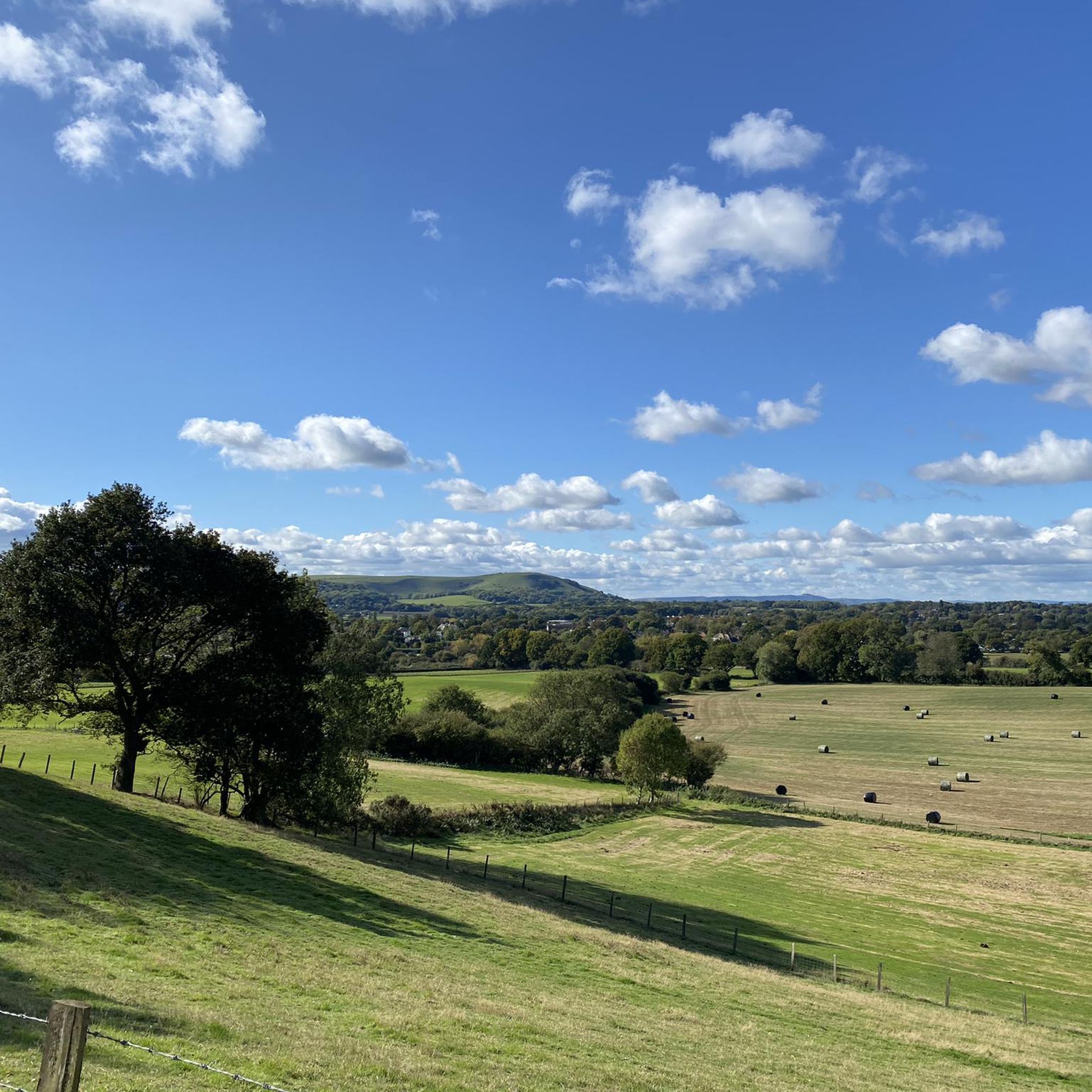
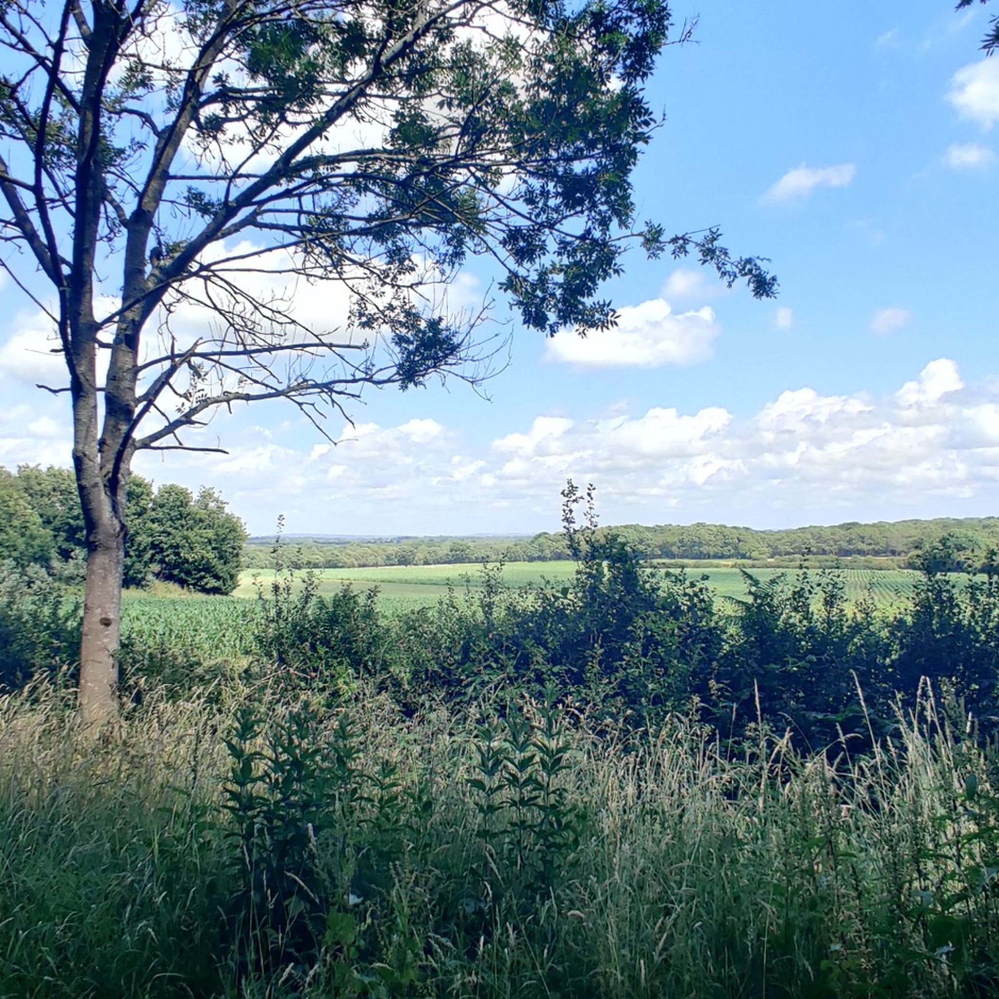
At over 650 feet (200 m), Ditchling Beacon gives you a good climb and a great vantage point to see out over the surrounding countryside. To the north you look back at the lush countryside of the Weald, to the south are views of Brighton, and to the east and west, the rolling undulating views out over the South Downs.
1
1

Nice enough trig pointed hilltop and easy enough to get to with grand views out over the South Downs.
0
0

Ice cream van also serving Tea today (Easter Monday). view from the top on a nice clear day
0
0

Mount Harry rises to a height of 627 feet (191 m) and offers panoramic views of the surrounding countryside, including the South Downs and the Ouse Valley. It's characterised by the tall brazier, known as Lewes Beacon. This was erected in 2002 as a reminder of the beacon that stood here from the 16th century to warn of danger.
0
0

The locally well-known Lewes Beacon stands on top of Mount Harry and commands beautiful views over the town and surrounding countryside. Historically, the beacon was used as a signal point during times of conflict and also as a place for locals to gather and celebrate. Today, the landmark is a popular spot for walkers and anyone looking for a refreshing nature fix.
2
0
Black Cap is a prominent hill located in the South Downs National Park in East Sussex. The hill stands at 206 m high and provides some glorious panoramic views across the surrounding countryside and coastline.
1
0
Ditchling Beacon is the highest point in East Sussex, England, with an elevation of 248 m (814 ft). It is south of Ditchling and to the north-east of Brighton. It is a large chalk hill with a particularly steep northern face, covered with open grassland and sheep-grazing areas. It is the third-highest point on the South Downs, behind Butser Hill (270 m (890 ft) and Crown Tegleaze (253 m (830 ft).
2
0
Frequently Asked Questions
What are the most prominent elevated areas to explore near Wivelsfield?
While Wivelsfield itself features gentle hills, the broader East and West Sussex region offers several significant elevated areas. Notable examples include Ditchling Beacon, the highest point along the Sussex Downs at 248 meters, and Blackcap Summit and Trig Point, which stands at 206 meters. Further afield in West Sussex, Blackdown is the highest point in the South Downs National Park at 280 meters.
What kind of views can I expect from the peaks around Wivelsfield?
The elevated areas near Wivelsfield, such as Ditchling Beacon and Blackcap Summit and Trig Point, offer extensive panoramic views. You can typically see across the Weald to the north, towards the coast and Brighton to the south, and along the rolling South Downs to the east and west. Wolstonbury Hill provides views of both the Downs and the Weald, including the Clayton Windmills.
Are there any historical sites on the peaks near Wivelsfield?
Yes, Ditchling Beacon is not only a natural monument but also a site of archaeological interest, featuring an Iron Age hillfort. This adds a historical dimension to your visit alongside the natural beauty.
What makes Blackcap Summit and Trig Point a popular spot?
Blackcap Summit and Trig Point is a National Trust-owned area offering glorious panoramic views across the surrounding countryside and coastline. Standing at 206 meters, it's a great spot for enjoying the scenery and is part of the Clayton to Offham Escarpment SSSI, making it significant for its natural features.
Are there family-friendly elevated walks near Wivelsfield?
While some peaks can be challenging, areas like Keymer Post Viewpoint are noted as family-friendly, offering great vantage points with wide views. Many sections of the South Downs Way, which passes near these peaks, also offer accessible paths suitable for families.
What is the best time of year to visit the peaks around Wivelsfield?
The South Downs area, including the peaks near Wivelsfield, is beautiful year-round. Spring and summer offer lush greenery and warmer weather, ideal for long walks. Autumn brings vibrant colours, while winter can provide crisp, clear views, though paths may be muddy. Always check local weather conditions before heading out.
What outdoor activities can I do near these mountain peaks?
Beyond hiking, the area around Wivelsfield offers excellent opportunities for cycling. You can find various routes for gravel biking, mountain biking, and road cycling. For detailed routes, explore the Gravel biking around Wivelsfield, MTB Trails around Wivelsfield, and Road Cycling Routes around Wivelsfield guides.
Are there challenging hiking trails to the peaks?
Yes, some peaks offer more challenging ascents. For instance, the walk to Wolstonbury Hill from the north is described as quite challenging, rewarding hikers with great views from the top. Ditchling Beacon also presents a good climb, especially its particularly steep northern face.
Where can I find parking for walks to these peaks?
Parking is generally available at popular access points for the South Downs Way and specific peaks. For example, Ditchling Beacon has a car park at its summit. It's advisable to check specific access points for each peak for detailed parking information, especially during peak seasons.
Are there pubs or cafes near the hiking trails?
Yes, the villages and towns surrounding the South Downs, including those near Wivelsfield, often have pubs and cafes. While specific establishments vary, you can typically find options for refreshments and meals in places like Ditchling, Plumpton, or other villages along the South Downs Way, providing a welcome break after a hike.
What is the highest point in East Sussex?
The highest point in East Sussex is Crowborough, reaching an elevation of 250 meters (820 feet). While Ditchling Beacon is the highest point along the Sussex Downs at 248 meters, Crowborough slightly surpasses it in overall elevation for the county.
Can I reach these peaks using public transport?
Public transport options exist for accessing parts of the South Downs National Park. Bus services often connect nearby towns and villages to trailheads or points along the South Downs Way. For example, some routes might take you close to Ditchling Beacon. It's recommended to check local bus schedules and routes for the most up-to-date information.
What is the significance of Blackdown in the wider region?
Blackdown, located in West Sussex, is the highest point in the entire South Downs National Park, reaching an elevation of 280 meters (919 feet). It is renowned for its breathtaking views over the South Downs and surrounding countryside, featuring distinctive Scotch pine trees and the historic Temple of the Wind.
Most popular routes around Wivelsfield
Most popular attractions around Wivelsfield

Get inspired with the komoot mobile app


Explore more
See even more amazing summits around Wivelsfield with these guides:
