The best running trails around Gloggnitz
4.6
(83)
2,324
runners
171
runs
Jogging around Gloggnitz offers a diverse landscape for runners, characterized by its river valleys, extensive floodplain forests, and gentle hills. The region features a mix of natural paths and well-maintained trails, providing varied terrain for different running preferences. Elevation changes are generally modest, making many routes accessible for a range of abilities.
Best jogging routes around Gloggnitz
- The most popular jogging route is Miners' Mausoleum – Auwald Gloggnitz loop from Bezirk Neunkirchen, a 4.5 miles (7.3 km) trail that…
Last updated: October 5, 2026
4.5
(4)
49
runners
7.26km
00:48
30m
30m
Moderate run. Good fitness required. Mostly paved surfaces. Suitable for all skill levels.
48
runners
20.5km
02:07
60m
60m
Hard run. Very good fitness required. Mostly paved surfaces. Suitable for all skill levels.

3.0
(1)
53
runners
11.8km
01:15
90m
90m
Moderate run. Good fitness required. Mostly paved surfaces. Suitable for all skill levels.
3.0
(1)
31
runners
7.81km
00:50
50m
50m
Moderate run. Good fitness required. Mostly paved surfaces. Suitable for all skill levels.
26
runners
18km
01:55
130m
130m
Hard run. Very good fitness required. Mostly paved surfaces. Suitable for all skill levels.
Get access to more routes and recommendations from other explorers.
Already have an account?
Our route recommendations are based on thousands of hikes, rides, and runs completed by other people on komoot.
Start today with a free account
Your next adventure awaits.
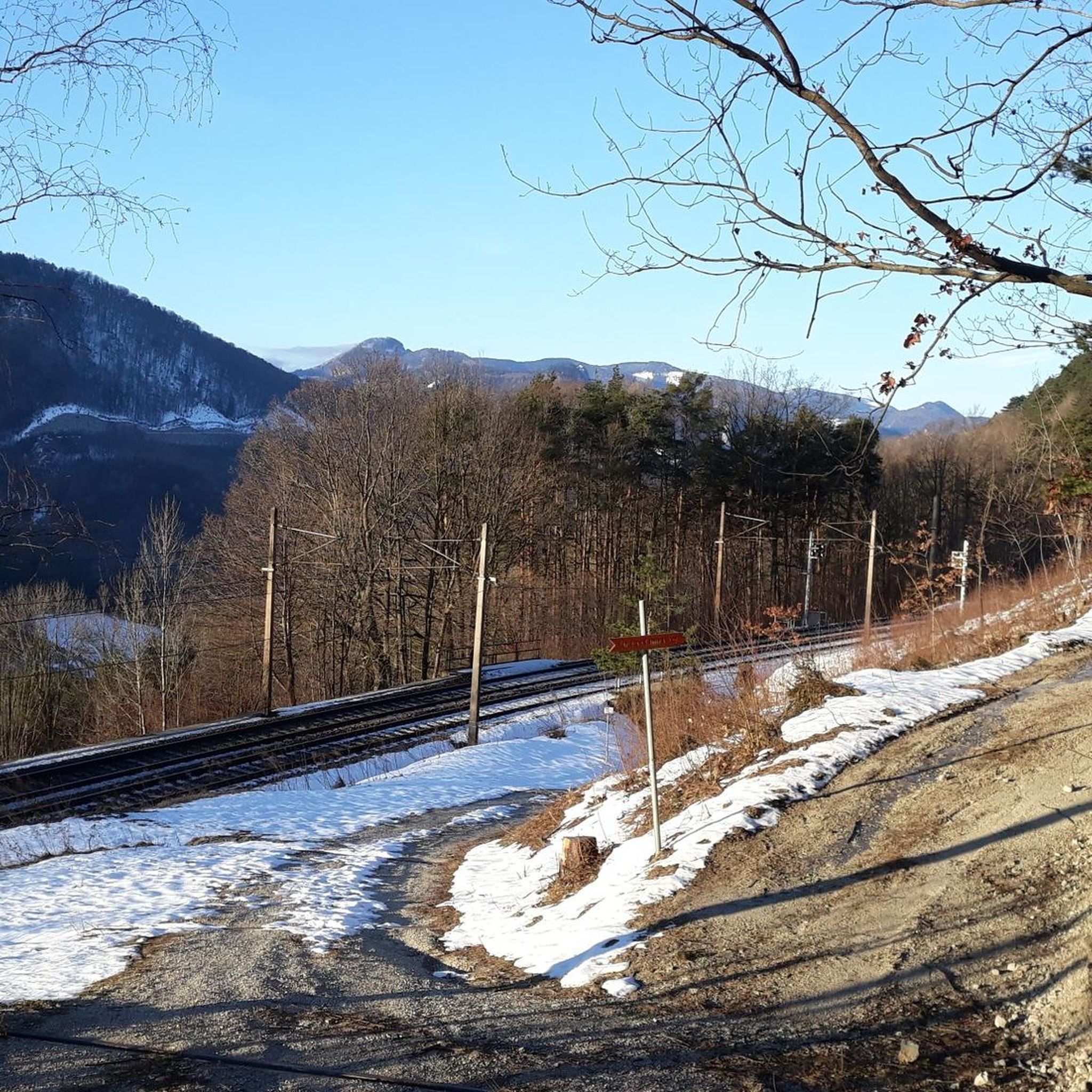
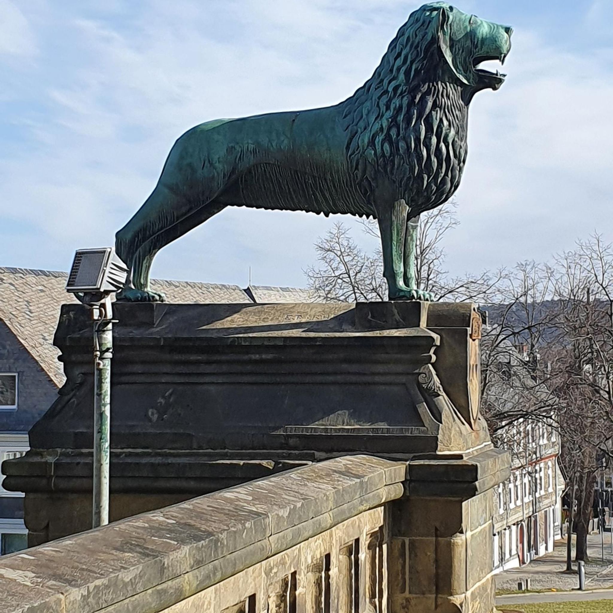
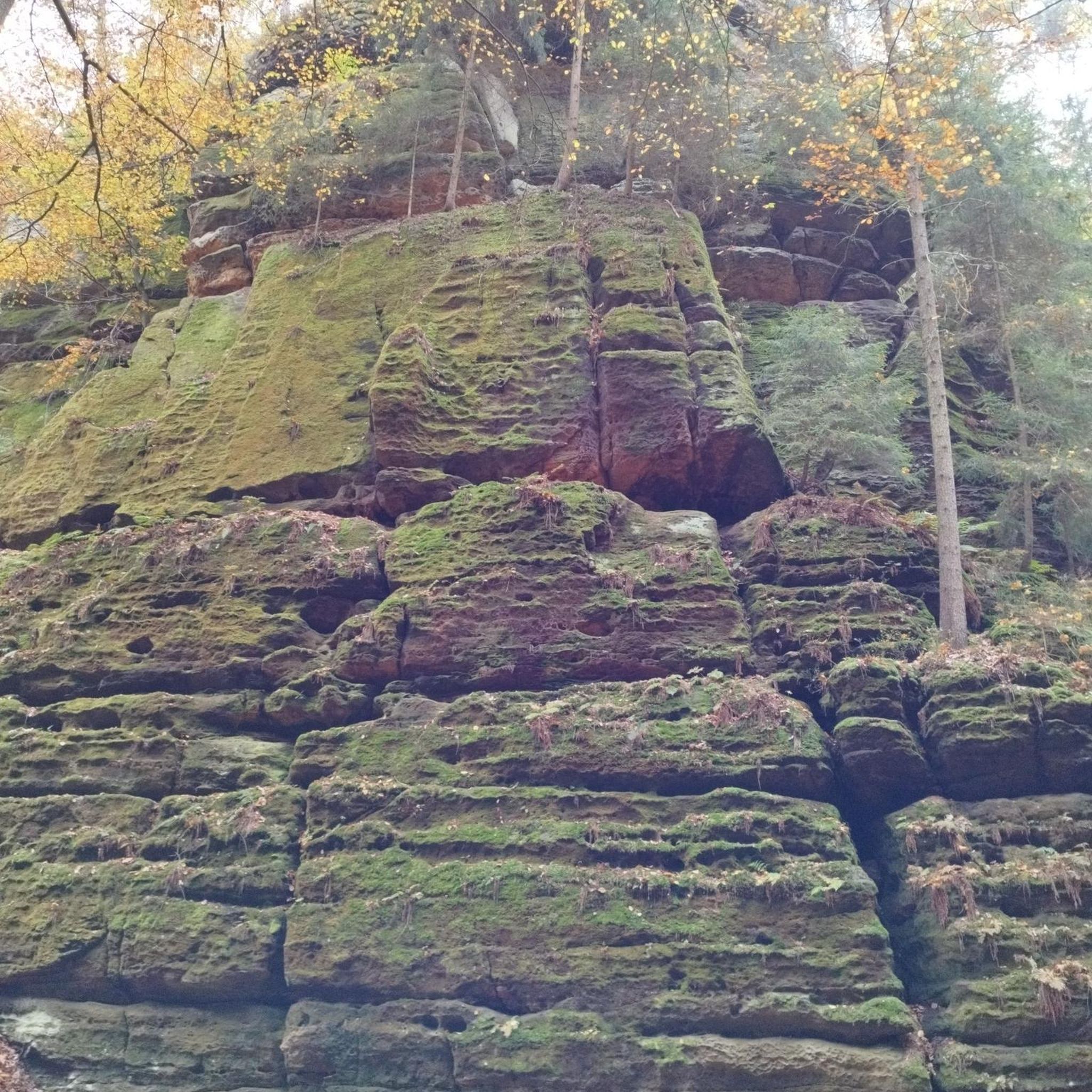
Other adventures around Gloggnitz

Tips from the Community

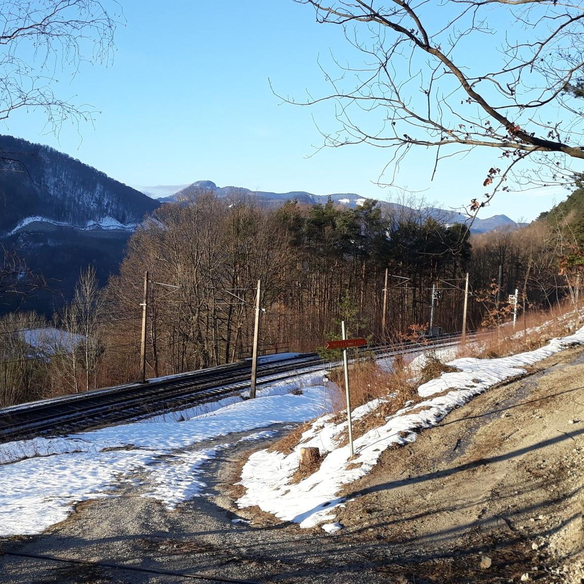
From the Payerbach-Reichenau station, the first major structure of the Semmering Railway can already be made out. With a length of 227.6 meters and a height of 24.7 meters, the viaduct forms the longest structure of its kind on the Semmering line.
0
0
The church was initially a branch church of the former parish church in the present-day Gloggnitz Castle and was incorporated into the Formbach Abbey. Payerbach became its own parish in 1379 according to documents. The church was destroyed in 1446 and rebuilt and reconsecrated in 1447 according to documents.
0
0
Reichenau Castle in Reichenau an der Rax was first mentioned in a document in 1256. Today it is used for exhibitions, concerts, and seminars.
1
0

Very annoying and angular curve, I don't understand why the apex was made so sharp.
0
0

The Schwarza Viaduct is an imposing structure and a great photo opportunity along the route. Its high arches are particularly impressive when you walk underneath or alongside it. A short stop is worthwhile to take in its dimensions and its location above the Schwarza River.
3
0
The Payerbach Viaduct is an impressive structure on the Semmering Railway and a real photo opportunity on your tour. With its high arches, it spans the valley dramatically and demonstrates how spectacularly engineering can be integrated into the landscape. It looks particularly beautiful in the morning or late afternoon, depending on the light.
3
0
Payerbach Parish Church is a peaceful, atmospheric spot in the town center and a worthwhile short detour on your tour. Simple on the outside, it boasts charming details inside and a pleasantly cool ambiance – ideal for a short break. Perfect for taking a breather and learning about the history of the place.
5
0

Perfect for cycling, and also for grabbing a bite to eat :-)
0
0
Frequently Asked Questions
How many running routes can I find around Gloggnitz?
Gloggnitz offers a wide selection of running opportunities, with nearly 180 routes available. These range from easy paths to more challenging trails, catering to various fitness levels.
Are there easy jogging routes suitable for beginners in Gloggnitz?
Yes, Gloggnitz has 17 easy running routes perfect for beginners or those looking for a relaxed jog. Many routes feature modest elevation changes and well-maintained paths, making them accessible for all.
What kind of terrain can I expect on running trails in Gloggnitz?
The running trails around Gloggnitz offer a diverse landscape, characterized by picturesque river valleys, extensive floodplain forests, and gentle hills. You'll find a mix of natural paths and well-maintained trails, providing varied terrain for different running preferences.
Are there any circular running routes in Gloggnitz?
Yes, many of the running routes in Gloggnitz are designed as loops, allowing you to start and finish at the same point. For example, the Miners' Mausoleum – Auwald Gloggnitz loop from Gloggnitz is a moderate 7.8 km option that takes you through scenic areas.
What are some interesting sights or landmarks I might see while jogging in Gloggnitz?
While jogging, you can explore various points of interest. The region is known for its natural beauty and historical sites. You might encounter rock formations like the Luckerte Wand Rock Formation and Viewpoint, or even historical structures such as the Payerbach Viaduct, which you can see on the Payerbach Parish Church – Payerbach Viaduct loop from Schmidsdorf.
What do other runners say about the jogging routes in Gloggnitz?
The running routes in Gloggnitz are highly rated by the komoot community, with an average score of 4.7 stars from over 40 reviews. Runners often praise the region's varied terrain, the beauty of the floodplain forests, and the well-maintained paths that make for an enjoyable experience.
Are there running routes in Gloggnitz that are suitable for families?
Many of the easier and moderate routes with modest elevation changes are suitable for families looking to jog together. The paths through floodplain forests offer a pleasant and safe environment. Look for routes marked as 'easy' in the komoot app for the most family-friendly options.
Can I find running trails with good viewpoints in Gloggnitz?
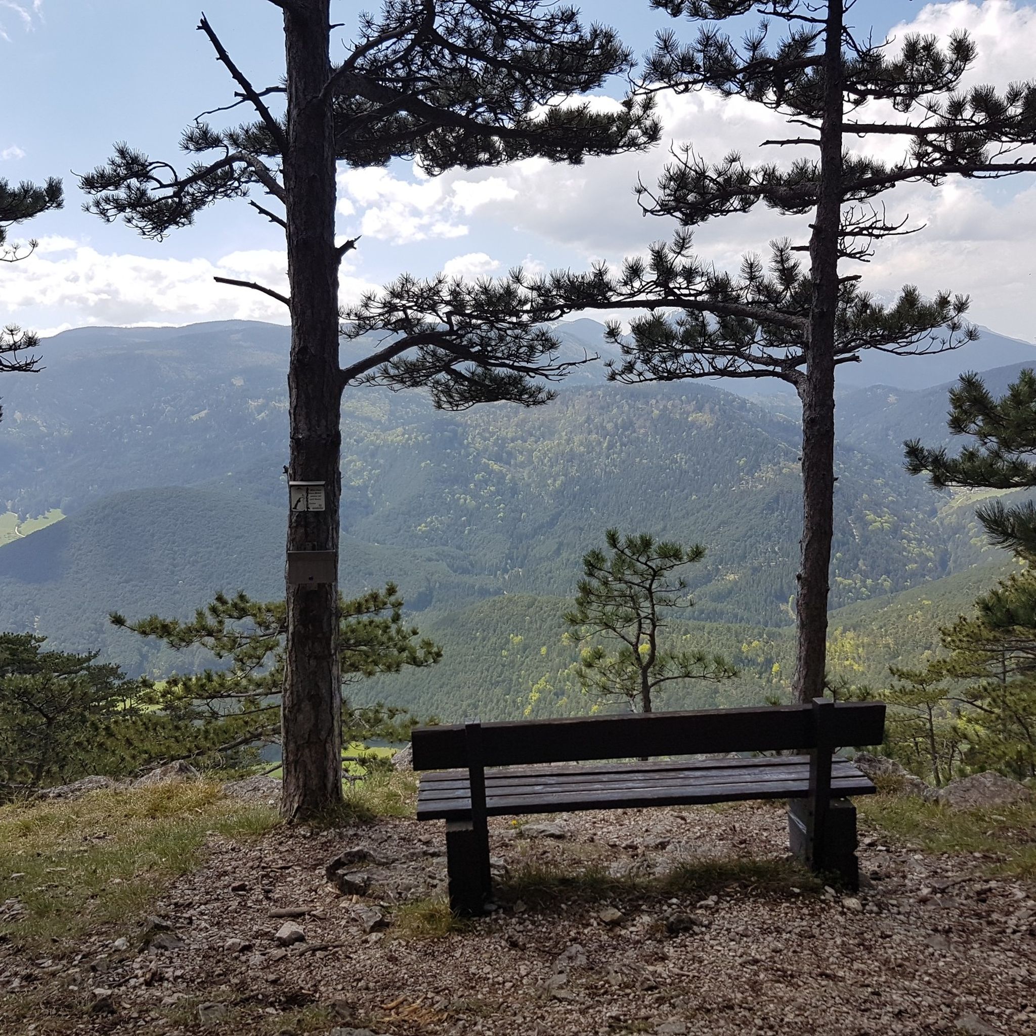
Yes, Gloggnitz offers routes that provide scenic vistas. The region's gentle hills and natural landscapes often open up to beautiful views. For example, the Luckerte Wand Rock Formation and Viewpoint is a notable spot that offers panoramic sights.
What is the best season for running in Gloggnitz?
Gloggnitz offers enjoyable running experiences throughout the year. Spring and autumn provide pleasant temperatures and vibrant scenery. Summer is great for early morning or late evening runs, especially along the shaded river valleys and through the floodplain forests. Even winter can be beautiful, with crisp air and potentially snowy landscapes on well-maintained paths.
Are there any less crowded running trails in Gloggnitz?
While some popular routes can see more activity, Gloggnitz has a vast network of nearly 180 trails. Exploring some of the less-trafficked moderate routes, especially during off-peak hours, can lead you to quieter, more secluded natural paths through the forests and along the rivers.
What is the typical duration for a running route in Gloggnitz?
Running route durations in Gloggnitz vary widely depending on the distance and your pace. Many popular routes, like the 7.8 km Miners' Mausoleum – Auwald Gloggnitz loop from Gloggnitz, can be completed in about 50 minutes to an hour. Longer, more challenging routes can take several hours.
Most popular routes around Gloggnitz
Most popular attractions around Gloggnitz

Get inspired with the komoot mobile app


Explore more
Browse the best Running Trails & Routes in other regions.
