The best mountain hikes around Thüringerberg
4.8
(145)
1,110
hikers
61
hikes
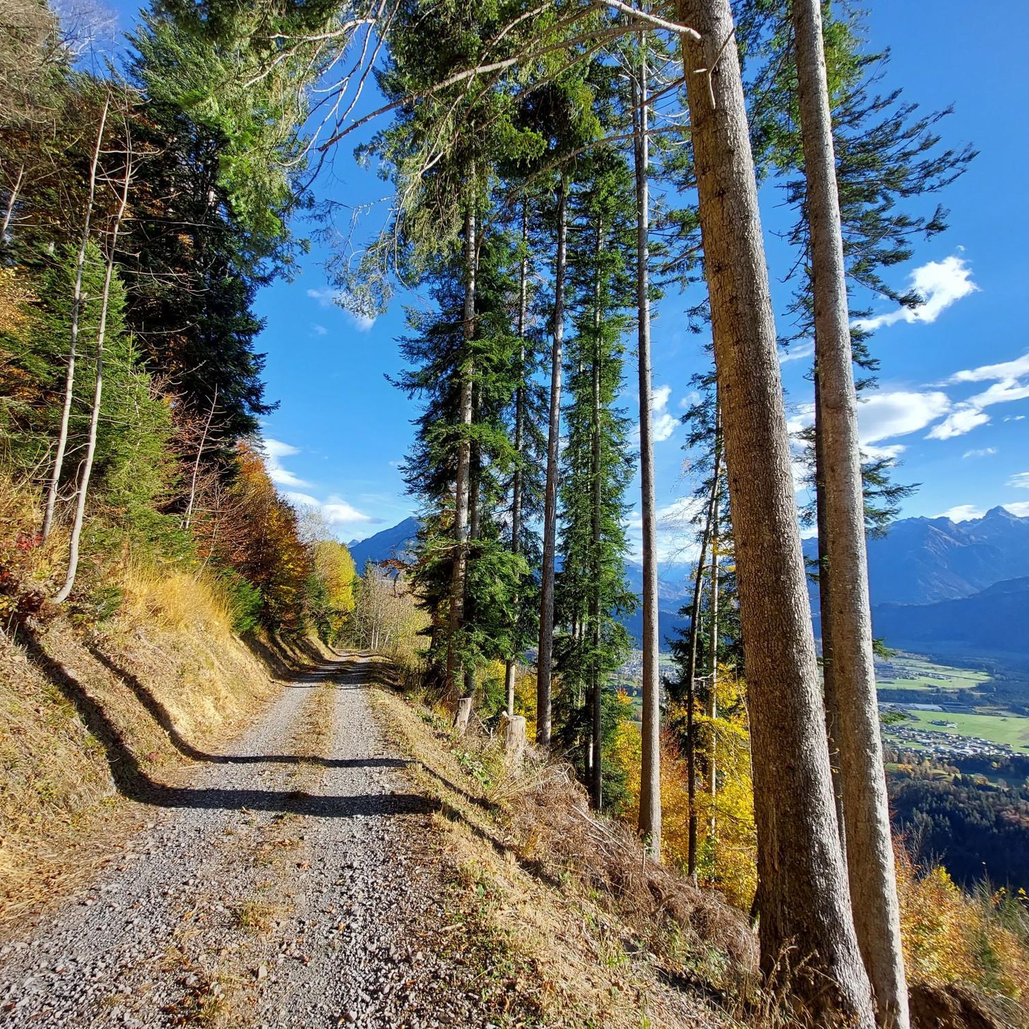
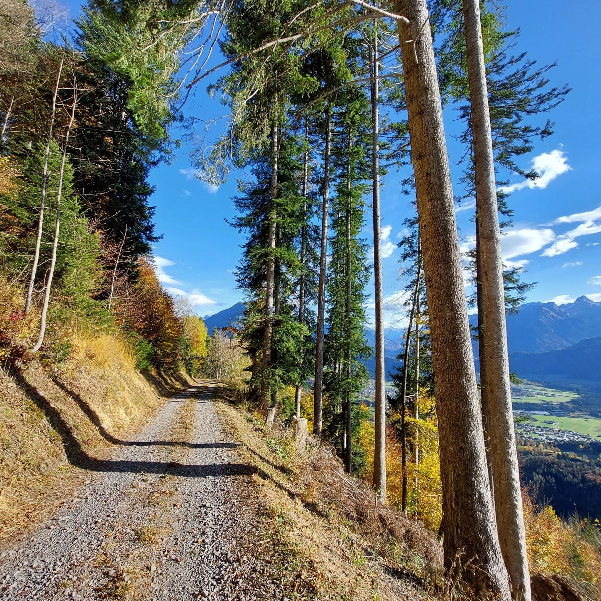
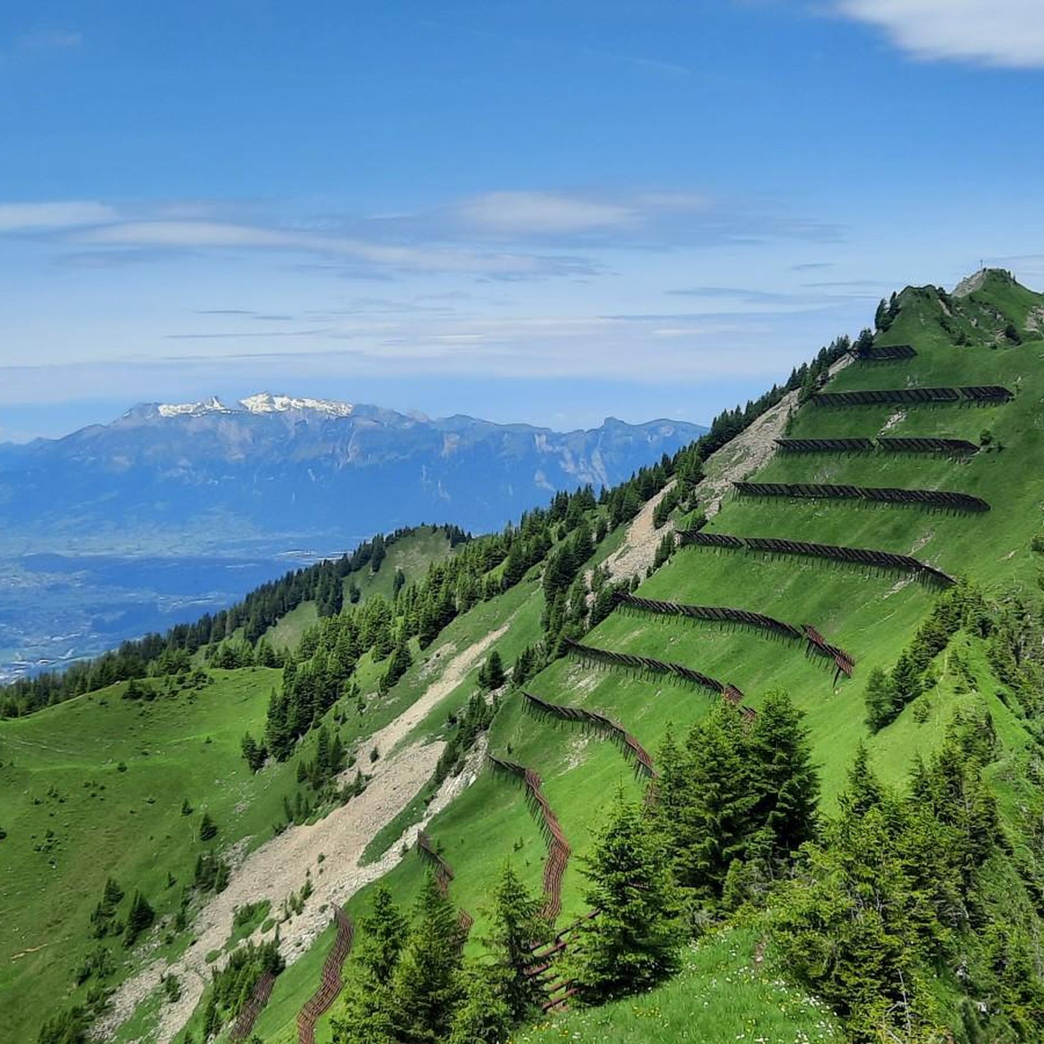
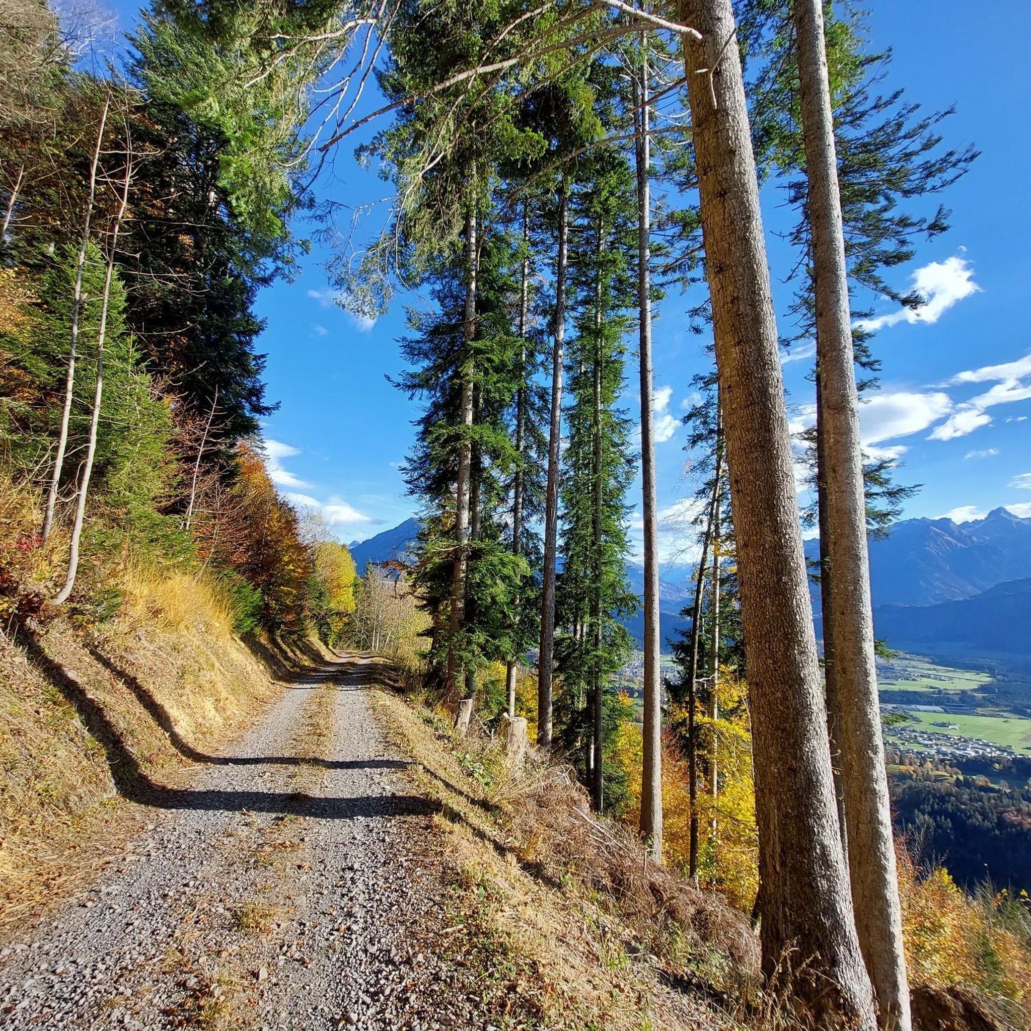
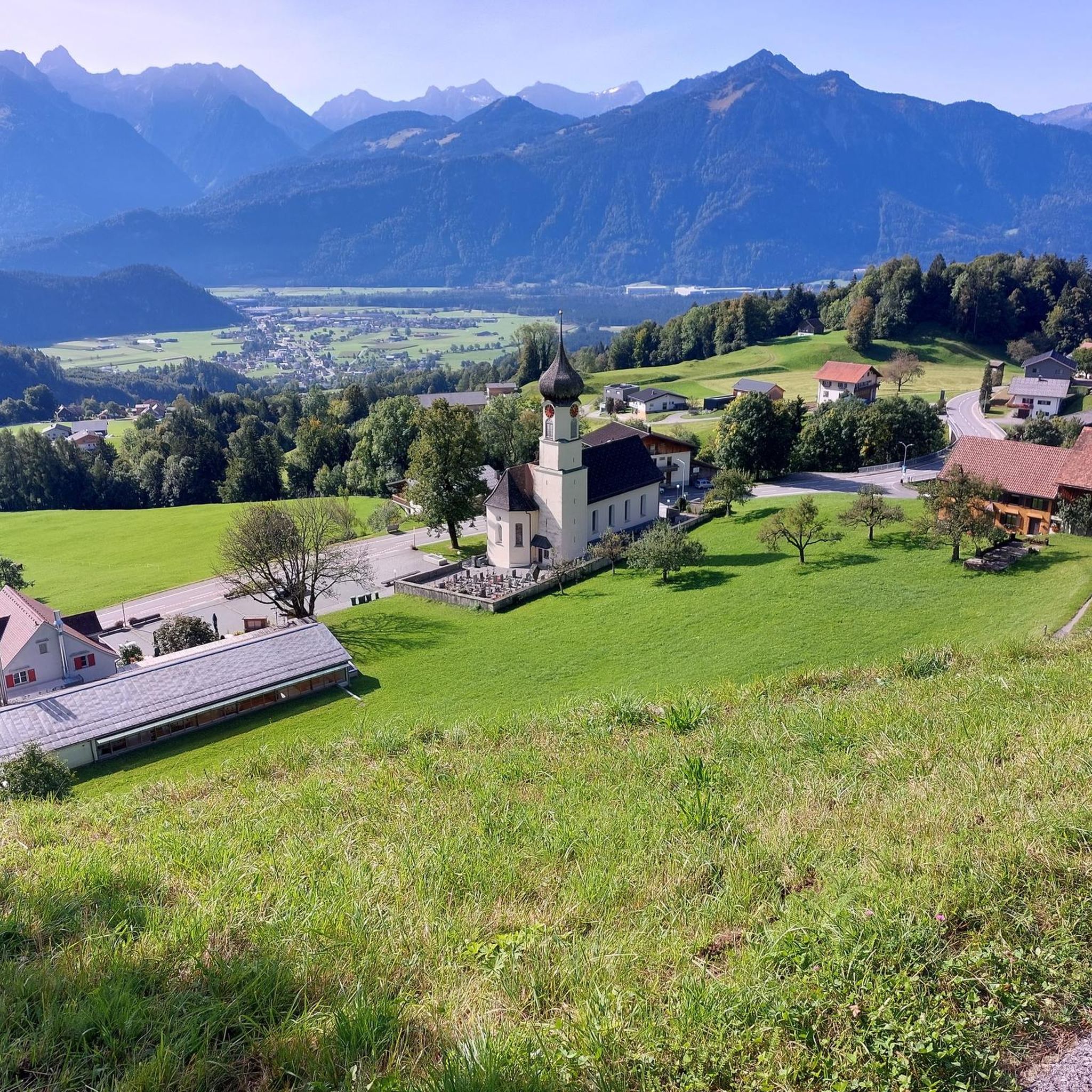
Mountaineering routes around Thüringerberg are set within the UNESCO Biosphere Reserve Großes Walsertal, a region characterized by picturesque mountains, verdant meadows, dense forests, and steep slopes. Situated at an elevation of 878 meters on the sunny southern slope of the Walser ridge, the area offers expansive views of the Vorarlberg mountains, including peaks like Rote Wand and Schesaplana. The terrain demands sure-footedness and a head for heights, particularly along the challenging Walser ridge.
Best mountaineering routes around Thüringerberg
- The most…
Last updated: October 11, 2026
37
hikers
11.4km
04:32
750m
750m
Moderate mountaineering route. Good fitness required. Mostly accessible paths. Sure-footedness required.
4.5
(2)
39
hikers
19.3km
07:18
1,050m
1,050m
Hard mountaineering route. Very good fitness required. Mostly accessible paths. Sure-footedness required.

4.7
(3)
32
hikers
15.0km
06:09
840m
840m
Hard mountaineering route. Very good fitness required. Mostly accessible paths. Sure-footedness required.
5.0
(2)
22
hikers
17.6km
07:07
950m
950m
Hard mountaineering route. Very good fitness required. Mostly accessible paths. Sure-footedness required.
5.0
(4)
22
hikers
10.7km
04:43
740m
740m
Hard mountaineering route. Good fitness required. Sure-footedness, sturdy shoes and alpine experience required.
Get access to more routes and recommendations from other explorers.
Already have an account?
Our route recommendations are based on thousands of hikes, rides, and runs completed by other people on komoot.
Start today with a free account
Your next adventure awaits.
Tips from the Community

Easily climbable summit near the Freschenhaus.
0
0
Very clean hut. The food is good and the landlady is friendly.
0
0

probably the more beautiful view into the high mountains than vice versa from the high mountains onto this "low mountain range"?
0
0

Hosted by the Laterns Ski Club in winter! Plus, you'll get Renate's best "Schnupf" (a type of snuff) and her legendary sayings.
0
0

steep but quiet climb up to the Alpe
0
0


beautiful Alp for hikers, skiers and bikers
0
0
Frequently Asked Questions
How many mountaineering routes are available around Thüringerberg?
There are over 60 mountaineering routes around Thüringerberg, offering a wide range of experiences within the UNESCO Biosphere Reserve Großes Walsertal. These routes are highly rated by the komoot community, with an average score of 4.9 stars from over 130 reviews.
What are the typical difficulty levels for mountaineering in Thüringerberg?
The routes around Thüringerberg cater to various skill levels. You'll find a few easy routes, over 30 moderate options, and more than 30 difficult trails. The terrain often demands sure-footedness and a head for heights, especially along sections of the Walser ridge.
What kind of views and landscapes can I expect on mountaineering routes in Thüringerberg?
Mountaineering in Thüringerberg offers breathtaking panoramic views of the Vorarlberg mountains, including prominent peaks like Rote Wand, Schesaplana, and Hohen Frassen. The landscape is characterized by picturesque mountains, verdant meadows, dense forests, and deep valleys, all within the stunning UNESCO Biosphere Reserve Großes Walsertal.
Are there any circular mountaineering routes in Thüringerberg?
Yes, many routes in Thüringerberg are designed as loops, allowing you to start and end at the same point. For example, the challenging Freschen Hut – Hoher Freschen summit cross loop from Innerlaterns is a popular circular option leading through high alpine terrain. Another great choice is the Hoher Freschen Summit loop from Bad Laterns, which takes you through steep mountain paths and open ridges.
What natural attractions or landmarks can I see along the mountaineering routes?
The region is rich in natural beauty. You can discover impressive natural monuments like the Hoher Freschen summit cross, offering incredible views. Other notable highlights include the Mondspitze Summit Cross and the dramatic Bürs Gorge Trail. The area also features several mountain passes such as Tiefensee Saddle and Sünser Pass.
What is the best time of year for mountaineering in Thüringerberg?
Thüringerberg is appealing throughout the year. Spring and summer offer mild temperatures and vibrant nature, ideal for hiking and mountaineering. In autumn, the mountains transform with a beautiful display of golden leaves. For those interested in winter activities, the region also provides opportunities for snowshoe hiking and ski tours.
Are there any beginner-friendly or family-friendly mountaineering routes?
While many routes in Thüringerberg are challenging, there are options suitable for beginners and families looking for less strenuous mountain experiences. The region offers numerous well-marked hiking trails, including leisurely strolls, that can serve as an excellent introduction to the alpine landscape before tackling more demanding mountaineering routes. For example, the Gehrenfalben loop from Bad Laterns is a moderate route that offers varied terrain and rewarding views, making it a good option for those building experience.
Do I need special permits for mountaineering in Thüringerberg?
Generally, you do not need special permits for mountaineering on marked trails in the Thüringerberg area, which is part of the UNESCO Biosphere Reserve Großes Walsertal. However, it's always advisable to check local regulations, especially if you plan to venture into protected zones or engage in specific climbing activities in designated climbing gardens.
Are there dog-friendly mountaineering routes in Thüringerberg?
Many mountaineering routes and hiking trails in the Thüringerberg region are dog-friendly, allowing you to explore the beautiful alpine landscape with your canine companion. It's always recommended to keep your dog on a leash, especially in nature reserves, near livestock, or on busy trails, and to ensure they are well-behaved and physically capable of the chosen route. Always carry water for your dog and clean up after them.
Where can I find parking for mountaineering trailheads in Thüringerberg?
Parking facilities are typically available near popular trailheads and villages in the Thüringerberg area. For routes starting from Bad Laterns or Innerlaterns, you will usually find designated parking areas. It's advisable to check specific route descriptions or local tourist information for the most convenient parking options for your chosen mountaineering tour.
What do other mountaineers enjoy most about the routes in Thüringerberg?
The routes in Thüringerberg are highly rated by the komoot community, with an average score of 4.9 stars. Mountaineers frequently praise the majestic mountain panoramas, the challenging yet rewarding sections of the Walser ridge, and the serene experience of traversing dense forests within the Großes Walsertal. The diverse terrain and well-maintained paths are also often highlighted as key attractions.
Most popular routes around Thüringerberg
Most popular attractions around Thüringerberg

Get inspired with the komoot mobile app


Explore more
Browse the best Mountain Hikes & Routes in other regions.
