The best mountain hikes around the Maas
4.6
(22)
59
hikers
16
hikes
Mountaineering routes around the Maas are primarily found within the Meuse River Valley, known for its diverse landscapes shaped by the river. The region features limestone crags, wooded hills, and river-carved plateaus, offering varied terrain for outdoor activities. While not a high-altitude mountaineering destination, areas like Mount Saint Peter near Maastricht provide elevated recreational areas, and the Ardennes region offers extensive hiking along crests. The landscape is characterized by a mix of forests, riverbanks, and geological formations suitable for exploring.
…Last updated: July 3, 2026
4.7
(7)
22
hikers
Moderate mountaineering route. Good fitness required. Easily-accessible paths. Suitable for all skill levels.
4.8
(8)
21
hikers
Moderate mountaineering route. Good fitness required. Easily-accessible paths. Suitable for all skill levels.

Sign up for free
4.0
(2)
5
hikers
16.7km
04:36
270m
270m
Hard mountaineering route. Good fitness required. Sure-footedness, sturdy shoes and alpine experience required.
4.8
(4)
5
hikers
12.4km
03:19
140m
140m
Moderate mountaineering route. Good fitness required. Easily-accessible paths. Suitable for all skill levels.
2
hikers
Easy mountaineering route. Great for any fitness level. Easily-accessible paths. Suitable for all skill levels.
1
hikers
Moderate mountaineering route. Good fitness required. Easily-accessible paths. Suitable for all skill levels.
5.0
(1)
1
hikers
Easy mountaineering route. Great for any fitness level. Easily-accessible paths. Suitable for all skill levels.
Get access to more routes and recommendations from other explorers.
Sign up for free
Already have an account?
Our route recommendations are based on thousands of hikes, rides, and runs completed by other people on komoot.
Start today with a free account
Your next adventure awaits.
Login or Signup
Popular around Maas
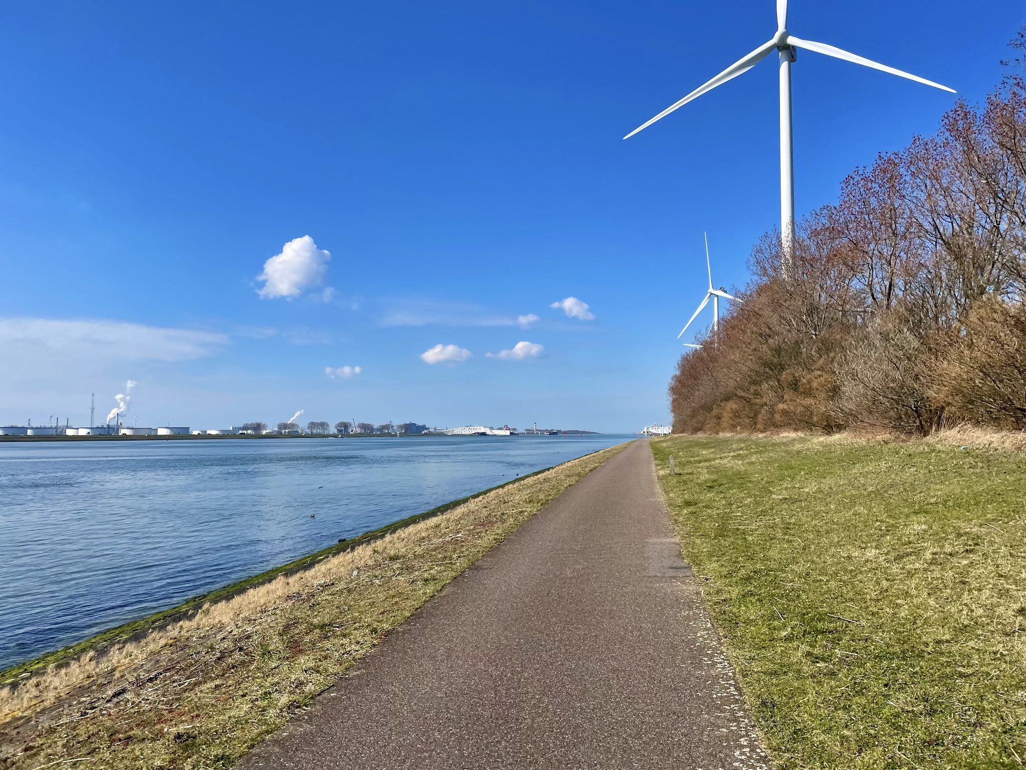
The Meuse Cycle Route - Follow the Meuse from the hills to the harbor
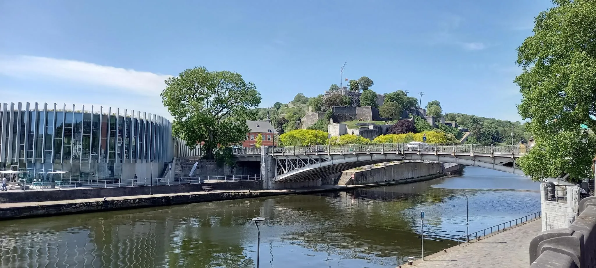
EuroVelo 3 — The adventure in the heart of Belgium
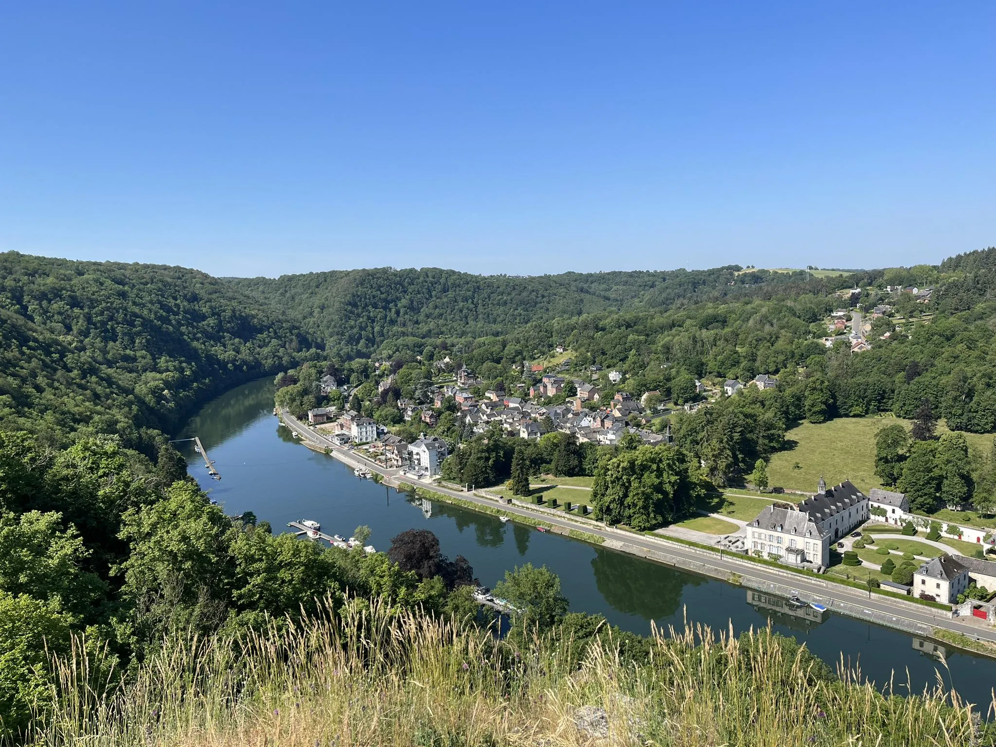
Sentier des abbayes trappistes part 1 – Between nature and gastronomy
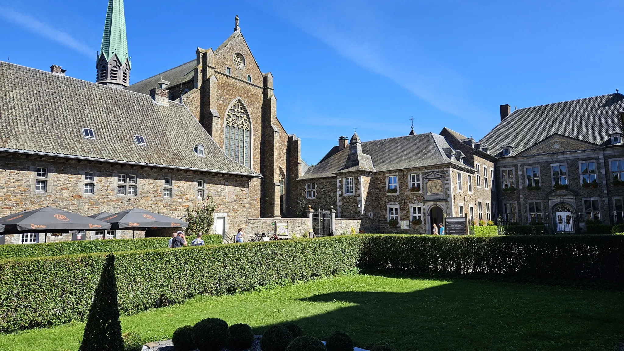
Trappist abbeys cycle route – Between beers and heritage
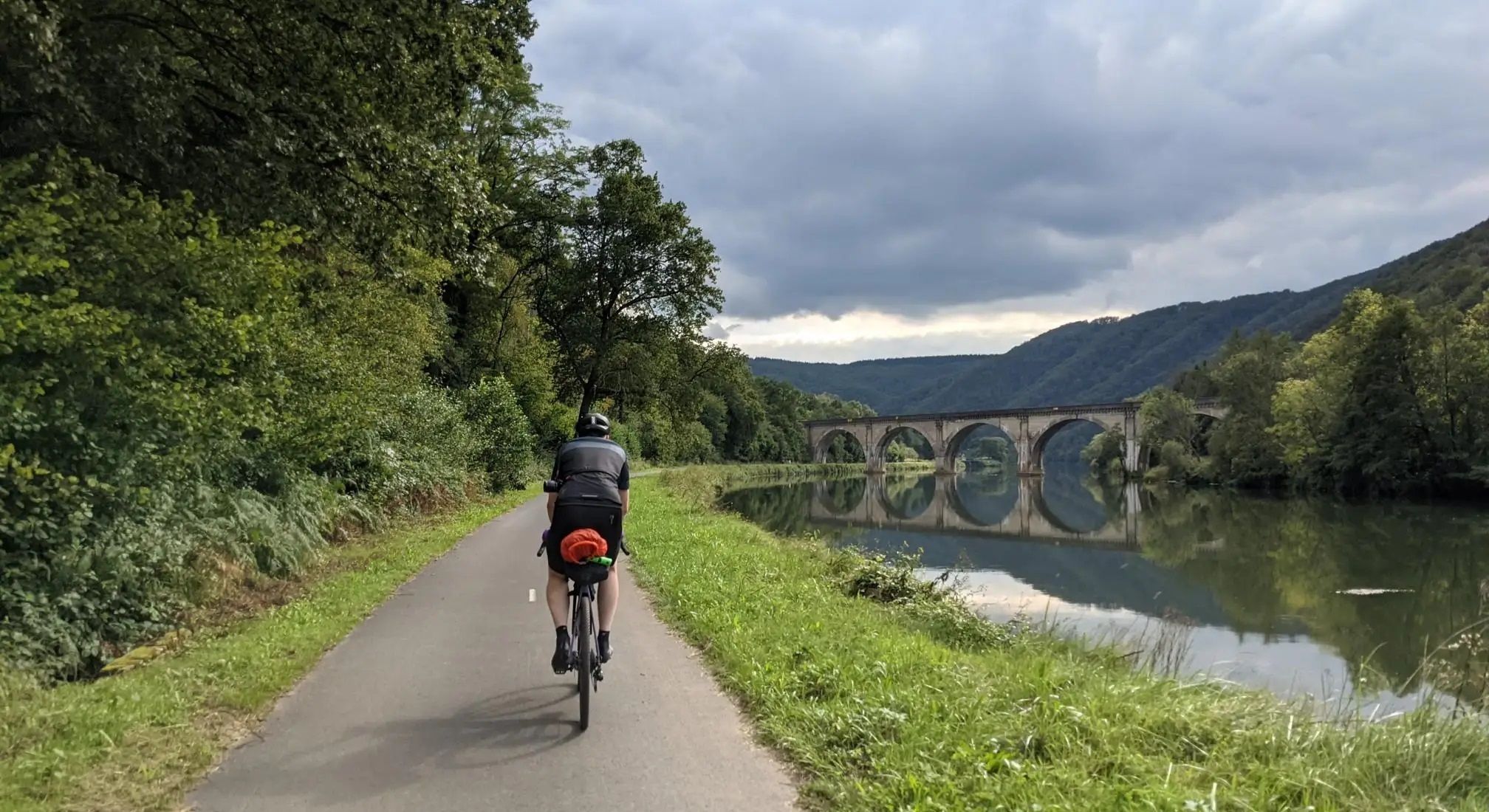
Aachen to Reims – Ardennes, Meuse and Champagne
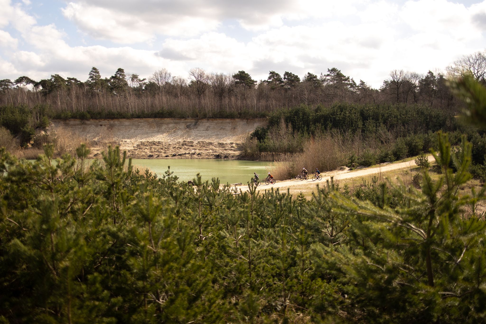
The Pieterpad by bike – From Pieterburen to Sint-Pietersberg
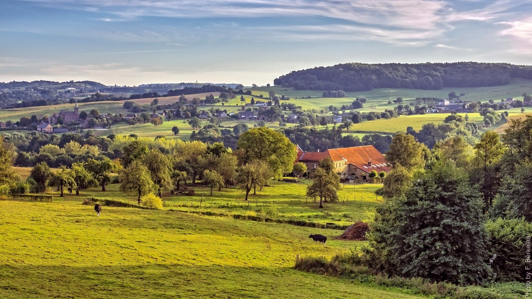
Pilgrim's Way part 2 — s-Hertogenbosch to Maastricht

Naples to North Cape — Two friends, one purpose and many scoops of ice-cream
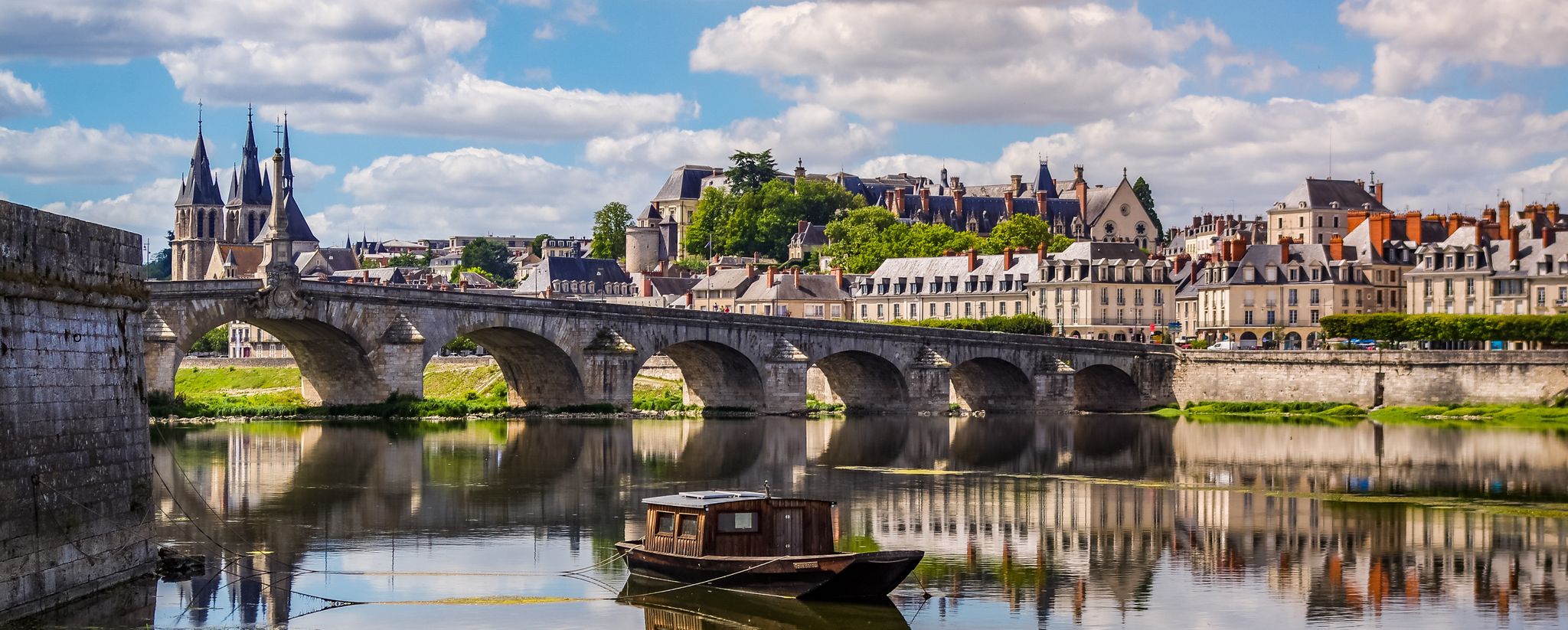
EuroVelo 3 – A cycling pilgrimage from Norway to France
Maarten van Rossumpad – hiking from 's-Hertogenbosch to Steenwijk
Other adventures around the Maas


Tips from the Community

you will encounter enough of these little stairs
0
0

This seems to me more like a depot or loading and unloading area (or something else) than a mine entrance, because I don't think horizontal mine entrances ever existed in Limburg, at least not for the coal mines. You could only go down through the shafts.
5
0

Very challenging and very steep. Be careful here. There is a rope, best to use it.
1
0

Hidden among the greenery of Hoge Kempen National Park lies a silent witness to the past: an old mine entrance. This entrance recalls the time when coal was mined deep underground here—the black gold that made the Limburg region bustle with activity for decades. What was once a place of hard labor, dust, and noise has now been replaced by tranquility and nature. The surrounding forests and hills have reclaimed the land, but the contours of the mining past remain visible in the landscape. The weathered brick gates and the occasional palpable cooler air at the entrance evoke images of the miners who descended here day in, day out. Today, this place stands as an impressive historical monument within the nature park. A reminder of human resilience and of the transformation from industry to nature.
2
0
Keienstrand lies on the shore of a clear lake in the Hoge Kempen National Park. This spot has a primal quality: large, rounded stones lie scattered along the water's edge, the wind gently blowing across the surface. It's a place that invites peace and reflection… where you can sit for a moment, listening to the lapping of the water and observing the play of light and shadow on the stones. The stones are a reminder of the geological history of this landscape, shaped by gravel extraction and nature restoration. Now, Keienstrand is a haven for both people and animals: dragonflies buzz above the water, birds skim low over the shore, and the scent of pine fills the air.
4
0


Complete overview of the lake. But it's more beautiful from across the street.
3
0

It can be busy on weekends. It is a popular hiking area.
1
0
Frequently Asked Questions
What kind of mountaineering routes can I expect around the Maas?
The Maas region, particularly the Meuse River Valley, offers a diverse landscape for mountaineering. You'll find routes through limestone crags, wooded hills, and river-carved plateaus. While not high-altitude, the terrain provides varied challenges, from easy paths to more demanding ascents, often with scenic views of the river and valley.
How many mountaineering routes are available in the Maas region, and what are their difficulty levels?
There are 18 mountaineering routes listed in the Maas region. These are categorized by difficulty: 6 are considered easy, 10 are moderate, and 2 are difficult, providing options for various skill levels.
Are there any family-friendly mountaineering routes in the Maas area?
Yes, several routes are suitable for families. An easy option is the Sunken Path in the Forest – Devil's Mountain (Duivelsberg) loop from Berg en Dal, which is 5.4 km long and takes about 1 hour 30 minutes. It offers a pleasant walk through wooded areas without significant elevation changes.
Can I find circular mountaineering routes in the Maas region?
Many of the mountaineering routes around the Maas are circular, allowing you to start and end at the same point. For example, the Picnic Spot by the Stream – Devil's Mountain (Duivelsberg) loop from Ubbergen is a popular 13.8 km circular trail through wooded hills.
What are some notable geological features or landmarks to see along the mountaineering routes?
The region is rich in geological features. You can explore ancient limestone quarries and caves, such as the Thier des Vignes Flint Caves or the Thier de Lanaye Underground Quarries. The Fort Sint Pieter – Château Neercanne loop from Maastricht takes you through the elevated plateau of Mount Saint Peter, known for its unique geology.
Are there any challenging mountaineering routes for experienced hikers?
For those seeking a challenge, the Maas region offers more difficult routes. The Fort Sint Pieter – Château Neercanne loop from Maastricht is a 16.7 km trail with significant elevation changes, providing a demanding experience through the elevated plateau of Mount Saint Peter.
What do other mountaineers say about the routes in the Maas region?
The mountaineering routes in the Maas region are highly rated by the komoot community, with an average score of 4.6 stars from over 20 reviews. Mountaineers often praise the varied terrain, scenic views, and the well-maintained paths that wind through forests, riverbanks, and geological formations.
Are there any routes that offer views of the Meuse River or its valleys?
Absolutely. Many routes provide excellent views of the Meuse River and its valleys. The Picnic Spot by the Stream – Heerlijkheid Beek Viewpoint loop from Berg en Dal is a moderate 13.2 km path specifically designed to explore varied landscapes with viewpoints overlooking the river valley.
Are there opportunities for multi-day mountaineering treks in the Maas region?
While the individual routes listed are generally day trips, the broader Meuse Valley offers extensive long-distance hiking opportunities. The RivierPark Maasvallei, for instance, features a 137 km Long Distance Hike. You can combine several of the listed routes or explore the wider network for a multi-day experience, often with options for overnight stays in nearby villages.
What is the best time of year for mountaineering in the Maas region?
The Maas region is generally suitable for mountaineering throughout much of the year. Spring and autumn offer pleasant temperatures and vibrant scenery, with lush greenery or colorful foliage. Summer is also popular, though some paths might be busier. Winter can be beautiful, but conditions may vary, so checking local forecasts is advisable.
Are there any routes that pass by castles or historic sites?
Yes, the region is dotted with historical landmarks. The Fort Sint Pieter – Château Neercanne loop from Maastricht specifically includes Château Neercanne, a beautiful terraced castle, and the historic Fort Sint Pieter, offering a blend of natural beauty and cultural heritage.
Are there any routes that are particularly good for spotting wildlife or experiencing unique nature reserves?
The RivierPark Maasvallei, which borders the Meuse River, is a unique nature reserve known for its diverse flora and fauna, including wild grazers like Konik horses and Galloway cattle. While specific routes aren't listed for wildlife spotting, many trails, such as the Schroliksee – Aussichtsturm Taubenberg loop from NSG Krickenbecker Seen und Kleiner De Wittsee, pass through protected areas and offer opportunities to observe local wildlife in their natural habitats.
Can I find routes that are less frequented, offering a 'hidden gem' experience?
While popular routes are well-loved, the Maas region has many trails that offer a quieter experience. The Terborgh Castle – Slakweg Climb loop from Geleen is a moderate 8.1 km route that takes you through varied landscapes, including the historic Terborgh Castle, and might offer a more serene mountaineering experience away from the busiest spots.
Most popular routes around the Maas
Most popular attractions around the Maas

Get inspired with the komoot mobile app


Explore more
Browse the best Mountain Hikes & Routes in other regions.
