The best walks and hikes around the Maas
4.4
(45645)
215,714
hikers
6,827
hikes
Hiking around the Maas offers diverse riverine landscapes shaped by the Meuse river, featuring old river arms, gravel banks, and floodplains. This cross-border region, spanning Belgian and Dutch Limburg, provides a network of trails through varied habitats. The terrain includes gentle paths along the river and some areas with moderate elevation changes, catering to different hiking preferences.
Best hiking trails around the Maas
- The most popular hiking route is Around Anseremme via the Freyr rocks — loop from Anseremme,…
Last updated: August 12, 2026
4.7
(595)
1,886
hikers
10.1km
02:51
190m
190m
Moderate hike. Good fitness required. Mostly accessible paths. Sure-footedness required.
4.7
(580)
1,913
hikers
13.2km
03:21
30m
30m
Moderate hike. Good fitness required. Easily-accessible paths. Suitable for all skill levels.

Sign up for free
4.7
(235)
775
hikers
8.76km
02:13
20m
20m
Hike a moderate 5.4-mile loop around the Reindersmeer in De Maasduinen National Park, enjoying diverse landscapes and lake views.
4.7
(214)
732
hikers
14.6km
03:52
140m
140m
Moderate hike. Good fitness required. Easily-accessible paths. Suitable for all skill levels.
4.7
(207)
700
hikers
6.01km
01:48
200m
200m
Easy hike. Great for any fitness level. Easily-accessible paths. Suitable for all skill levels.
4.6
(190)
673
hikers
7.76km
02:11
170m
170m
Hike the moderate 4.8-mile Les Cascatelles Promenade, featuring picturesque waterfalls, diverse forests, and panoramic views of the Meuse va
4.5
(137)
554
hikers
7.33km
02:05
170m
170m
Hike the moderate Les Sept Meuses Loop, a 4.6-mile trail offering panoramic views of the Meuse valley and its famous bends.
4.6
(178)
498
hikers
12.2km
03:24
230m
230m
Moderate hike. Good fitness required. Easily-accessible paths. Suitable for all skill levels.
4.7
(114)
350
hikers
15.9km
04:02
30m
30m
Hike the moderate 9.9-mile Royal Dutch Touring Club route through National Park De Maasduinen, exploring dunes, forests, and lakes.
4.7
(115)
463
hikers
14.9km
03:55
140m
140m
Moderate hike. Good fitness required. Easily-accessible paths. Suitable for all skill levels.
Get access to more routes and recommendations from other explorers.
Sign up for free
Already have an account?
Our route recommendations are based on thousands of hikes, rides, and runs completed by other people on komoot.
Start today with a free account
Your next adventure awaits.
Login or Signup
Popular around Maas
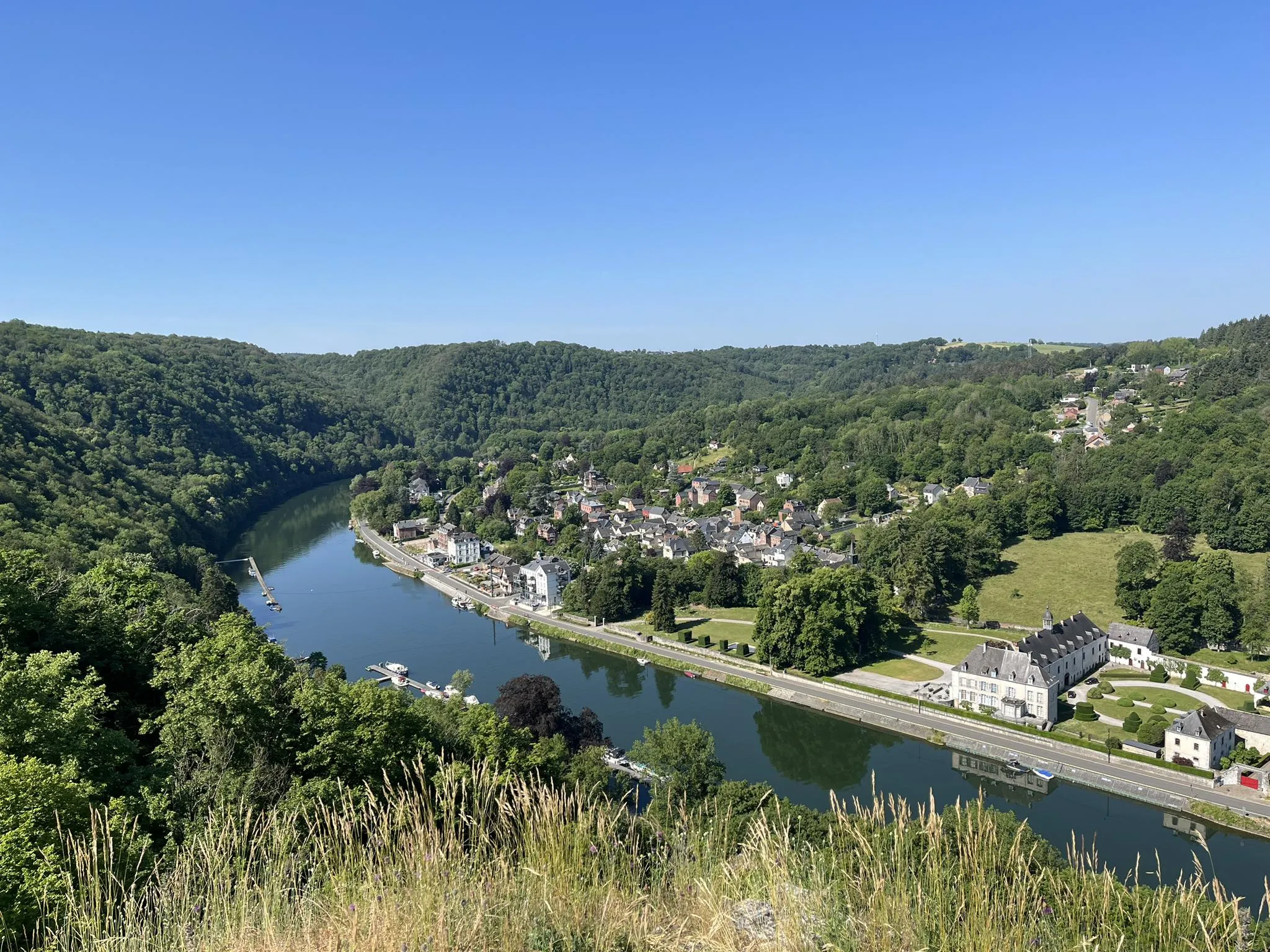
Sentier des abbayes trappistes part 1 – Between nature and gastronomy
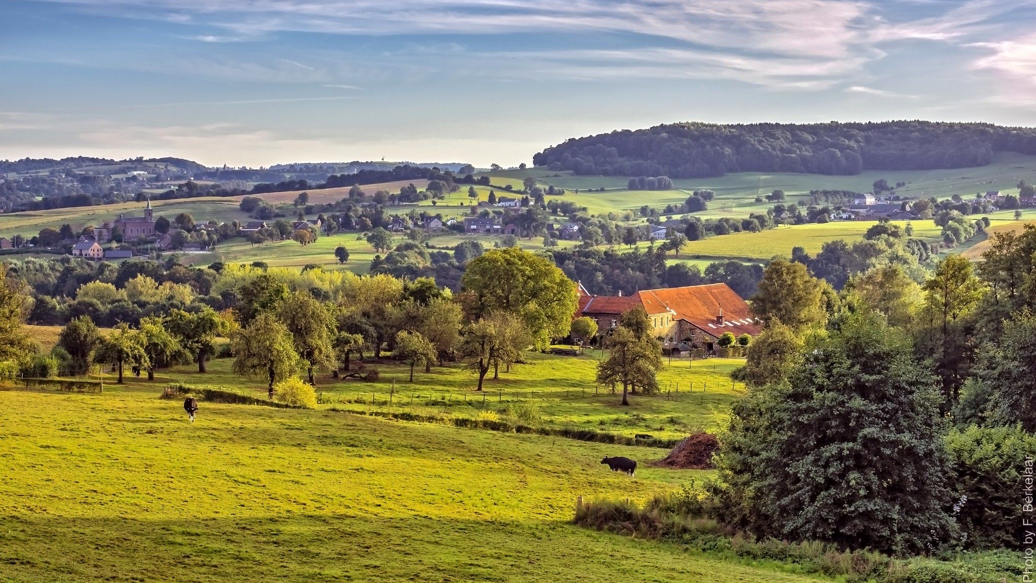
Pilgrim's Way part 2 — s-Hertogenbosch to Maastricht
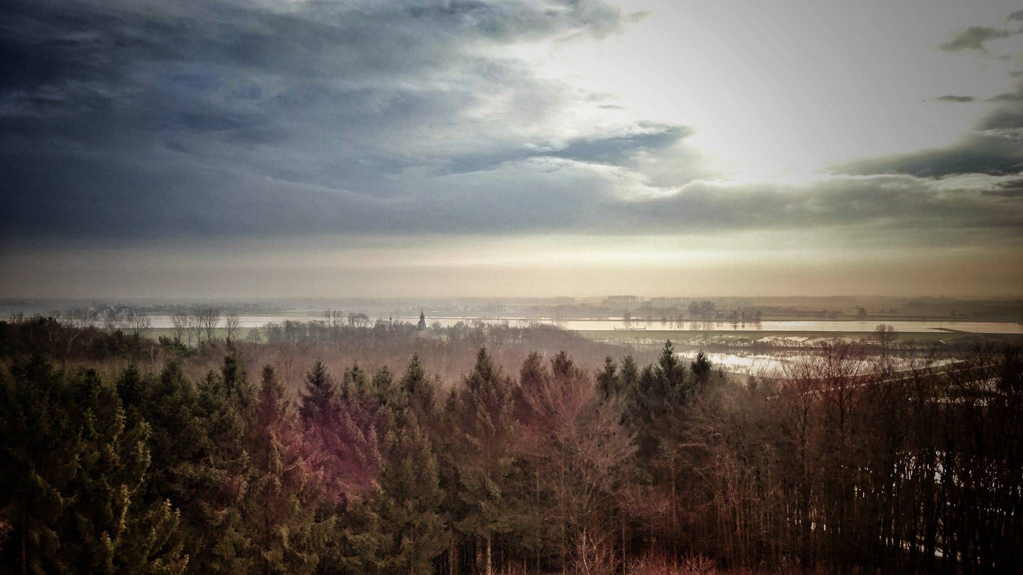
Maarten van Rossumpad – hiking from 's-Hertogenbosch to Steenwijk
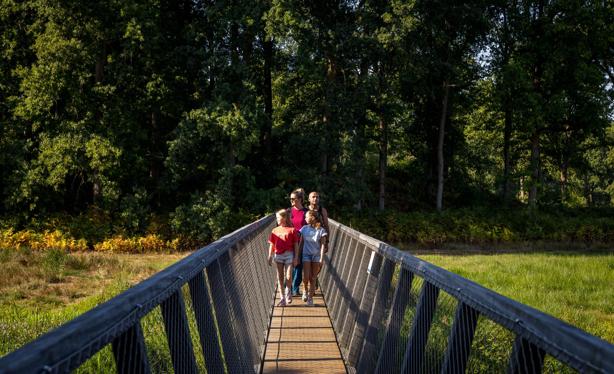
Flanders’ Finest Hiking Routes
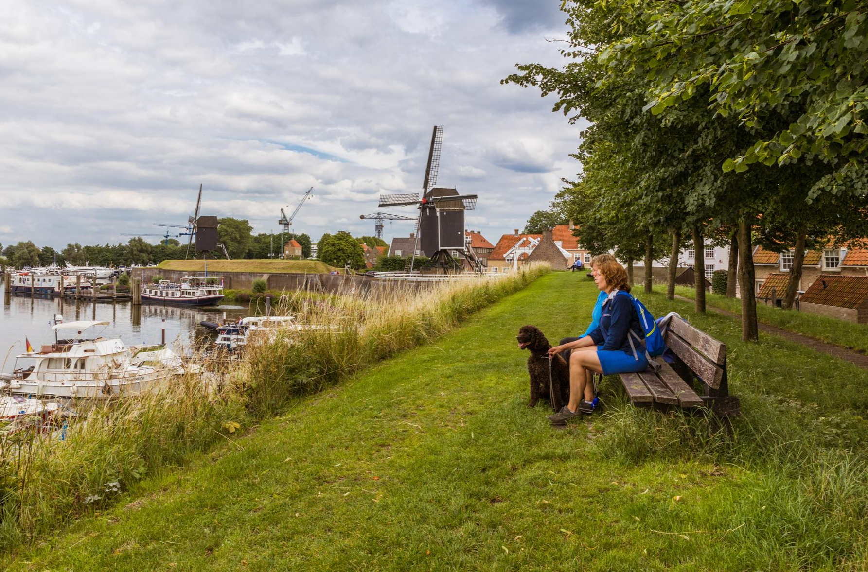
Hiking in Brabant – in Van Gogh’s footsteps in Southern Netherlands
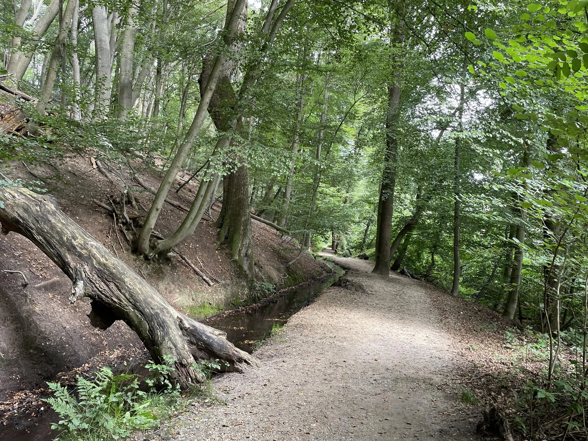
Blow away between forests and flood plains - Nijmegen regional trail
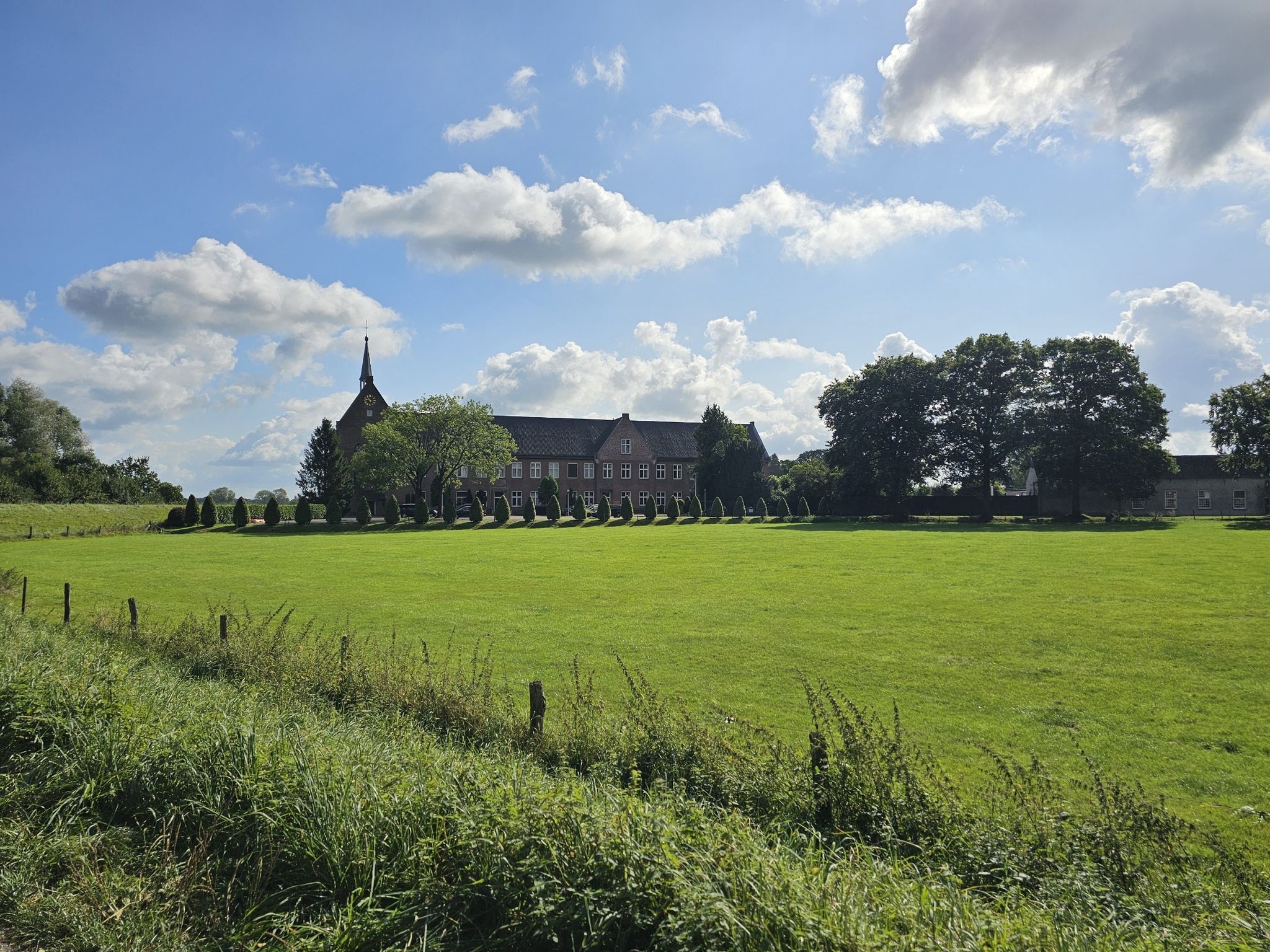
On foot through Brabant in eight days – Land van Cuijkpad (SP 14)
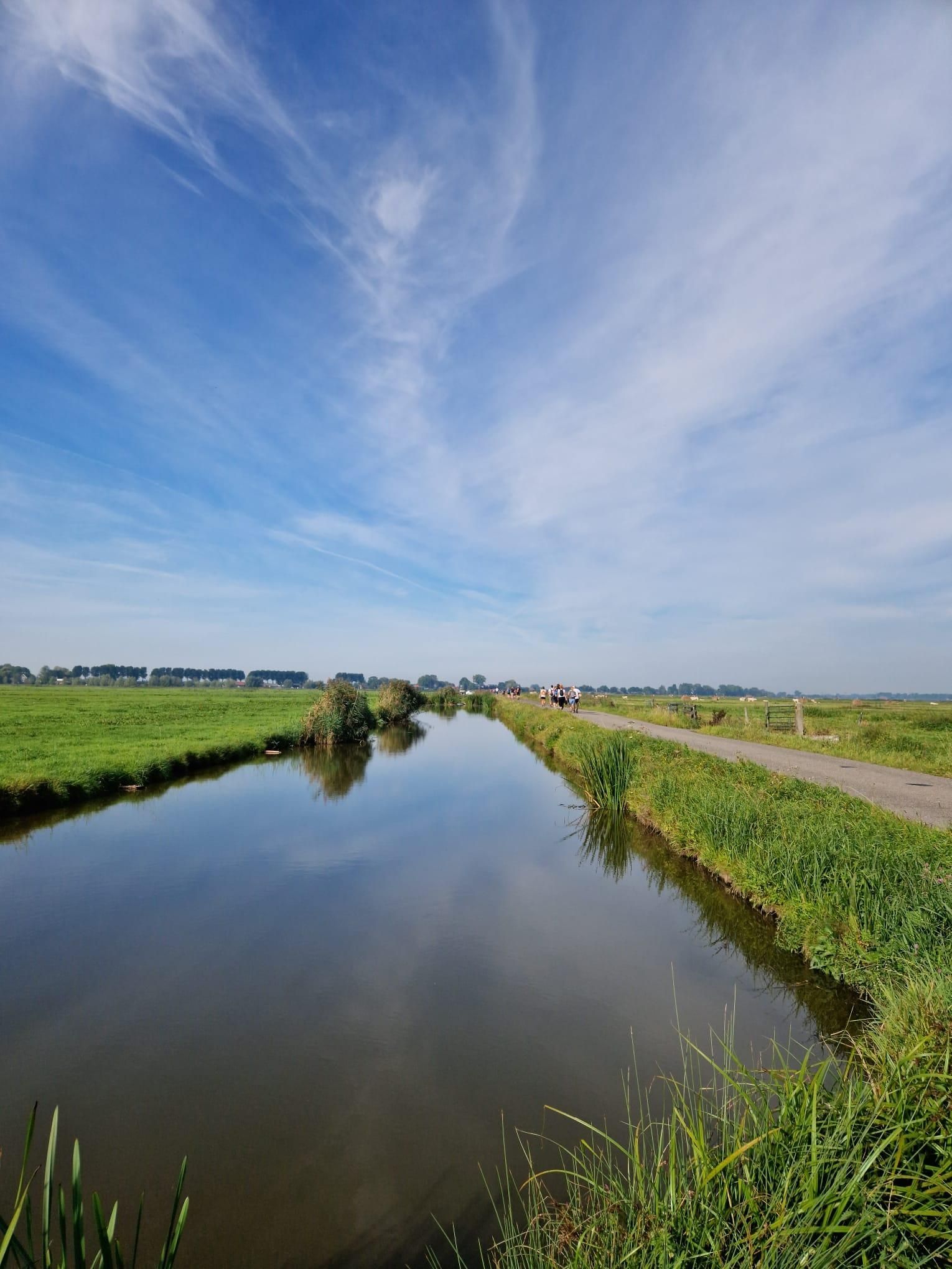
Below the waterline of the Sint-Elisabethsvloed – Biesboschpad
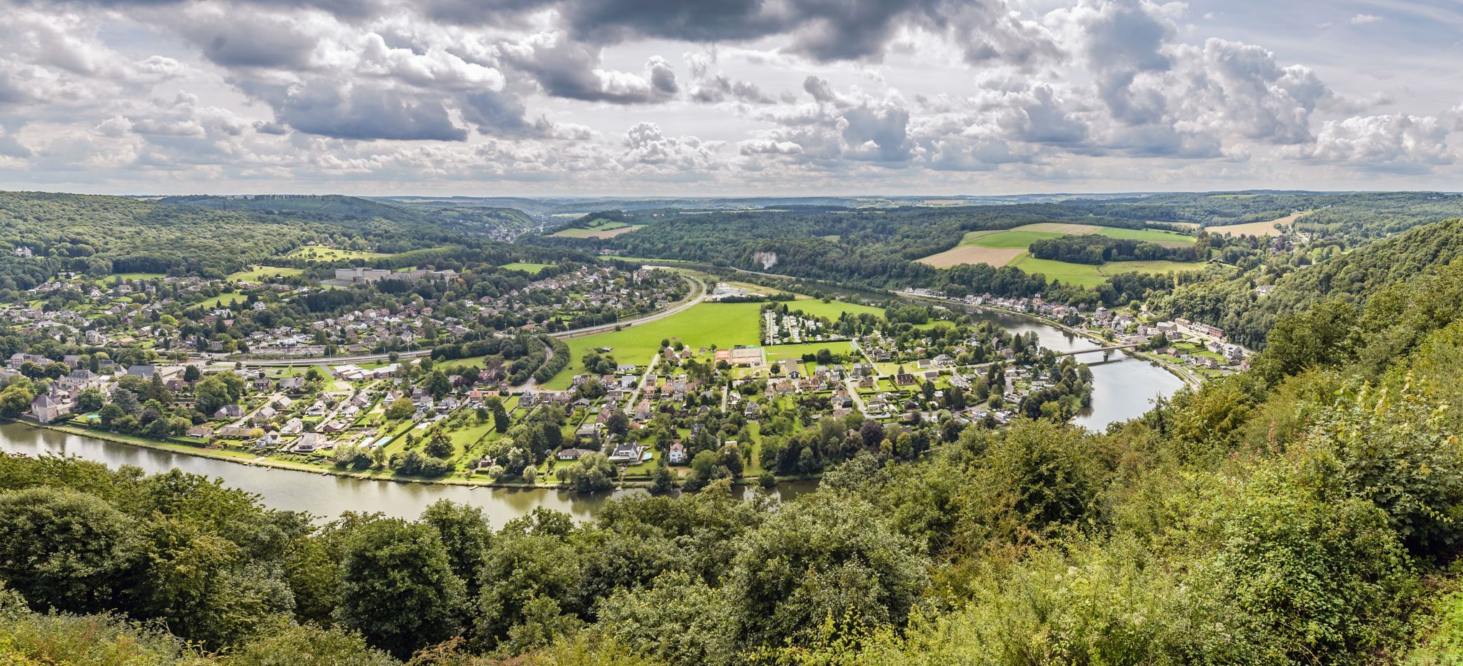
From station to station — hiking in the romantic Meuse Valley
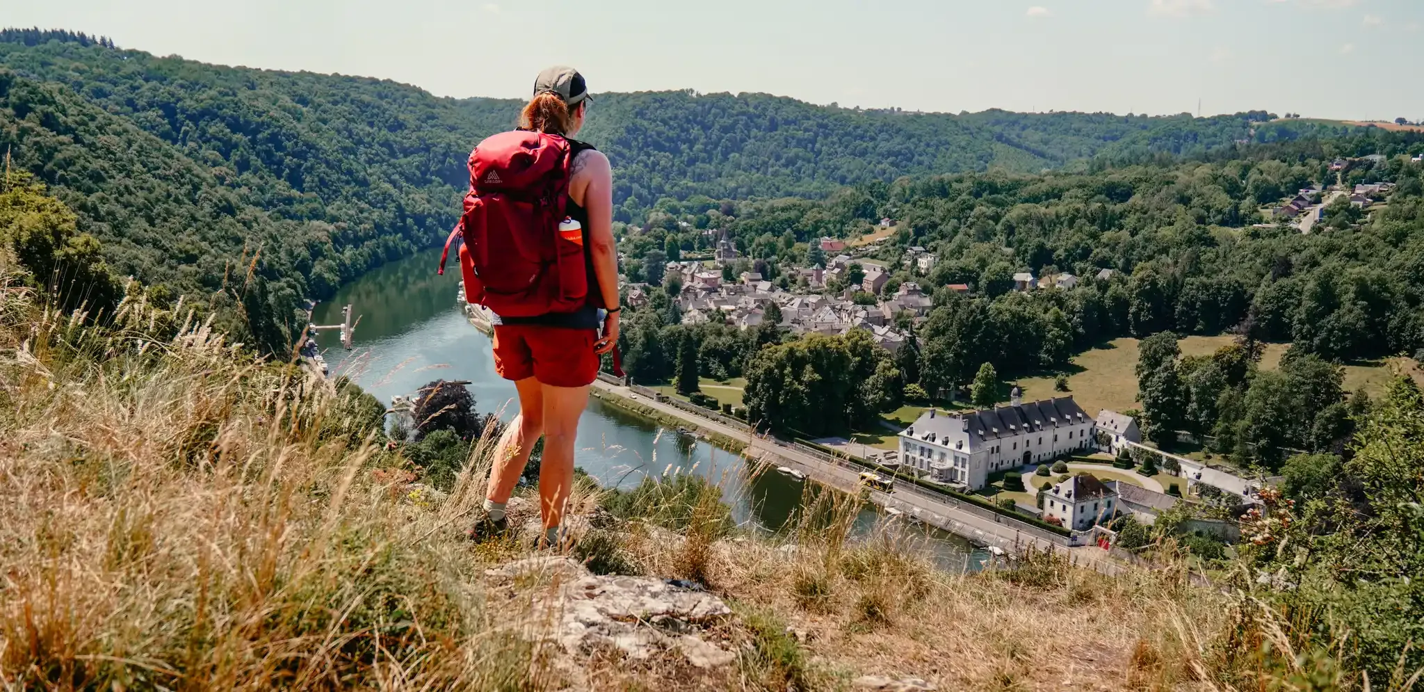
Meuse Valley – hiking in Wallonia between the Lesse and the Meuse
Other adventures around the Maas


Tips from the Community

Along the Voie Verte, you glide into Monthermé, a village that still carries its history in its facades. The Meuse was a workplace here for centuries: wood rafters, forges, and small industries set the rhythm. Today, you mainly see the quiet echo of that — natural stone houses against the slope, wide stairs that workers once climbed up and down daily, and a village center that has formed around the river.
7
0

The tower windmill, protected as a Rijksmonument, was built in 1722 on behalf of Count Reinier Vincent van Hompesch. The eight-story Stellingmolen originally served as a grain and oil mill and reaches a height of about 37 meters to the tip of the sails. It is considered the tallest windmill in the Dutch province of Limburg.
7
0
On the water surface and along the shores, mute swans, greylag geese, Canada geese, Egyptian geese, mallards, shovelers, great crested grebes, little grebes, and coots can be observed, among others. Cormorants and grey herons also use the area for foraging.
26
0
The Molenplas near Ohé en Laak and Stevensweert was created by the extraction of gravel and sand. After the extraction ended, a natural area with meadows, bank zones, and diverse habitats developed around the water surface. Today, the Molenplas is part of a valuable natural area with numerous water birds and free-roaming grazing animals such as Konik horses and Galloway cattle.
35
0

the Cascatelles valley, one of the best-known natural sites in the region. The stream here crosses a succession of small waterfalls between the rocks, while the path gently climbs the valley, following the course of the water.
0
0

Beautiful view of the Maas...
2
0

Continue along the hiking trail over the stepping stones, a fun challenge, but for those who like a little help there is a sturdy rope to hold onto.
2
0

The riverside path repeatedly leads to beautiful viewpoints, as well as a great sandy beach.
16
0
Frequently Asked Questions
What kind of terrain can I expect on hiking trails around the Maas?
The Maas region offers a dynamic and varied landscape shaped by the Meuse river. You'll find gentle paths meandering through fields and meadows, alongside old river arms, gravel banks, and floodplains. Some areas may present more challenging terrains with moderate elevation changes, particularly where the river has carved out its path. The extensive network includes both easy walks and more demanding routes.
Are there family-friendly hiking options in the Maas region?
Yes, the Maas region is well-suited for families. Many trails feature gentle paths through fields and meadows, perfect for a leisurely walk with children. The 'ommetjes' (loop system) in the Netherlands side of the RivierPark Maasvallei offers signposted routes through scenic landscapes that are often manageable for all ages. Look for routes marked as 'easy' for the most family-friendly experiences, such as Premium-Hiking Trail Molenplas - Water.Hike.World.
Can I bring my dog on the hiking trails around the Maas?
Many trails in the Maas region are dog-friendly, allowing you to enjoy the natural beauty with your canine companion. However, it's always recommended to keep dogs on a leash, especially in areas with grazing animals like Galloway cattle and Konik horses, or near nature reserves to protect local wildlife. Always check local signage for specific rules regarding dogs on individual trails.
Are there any circular hiking routes available?
Yes, the Maas region offers numerous circular hiking routes. The RivierPark Maasvallei, in particular, features a well-developed loop system, known as 'ommetjes' in the Netherlands, which provides signposted circular trails through diverse landscapes. These are excellent for exploring without needing to retrace your steps. An example of a circular route is Around Anseremme via the Freyr rocks — loop from Anseremme.
What natural features or wildlife can I expect to see while hiking?
The Maas Valley is rich in biodiversity. Hikers can encounter a variety of habitats, including old river arms, gravel banks, and riparian forests. Keep an eye out for diverse flora and fauna such as water birds, butterflies, dragonflies, and wild bees. You might also spot impressive Galloway cattle and Konik horses grazing in the natural areas, which play a vital role in maintaining the landscape. Beavers are also active in the riparian forests.
Are there any waterfalls or significant water features along the trails?
While the Maas region is primarily known for its riverine landscapes, there are specific trails that feature charming water elements. For instance, the Les Cascatelles Promenade is known for its cascades. You can also explore highlights like The Cascatelles Trail or the Waterfall at the Old Watermill for specific waterfall experiences.
What are some interesting landmarks or villages to explore near the hiking routes?
Beyond the natural beauty, the Maas region is dotted with picturesque Maas villages. These often serve as excellent starting points for hikes and offer cultural insights. Consider visiting Oud-Rekem, known for one of the most authentically preserved village centers, or Stokkem, which is popular for birdwatching. Leut is another gateway village featuring the historic Leut Castle. You can also find viewpoints like View of Monthermé and the River Meuse from La Longue Roche.
What is the best time of year to go hiking in the Maas region?
The Maas region offers enjoyable hiking experiences throughout much of the year. Spring brings blooming flora, especially in riparian forests with wild garlic and snowdrops. Summer is ideal for longer days and warmer weather, though some areas might be busy. Autumn showcases beautiful fall colors along the riverbanks. Even winter hiking can be rewarding, offering a serene and unique perspective of the landscape, though some paths might be muddy or icy.
Are there options for long-distance hiking in the Maas Valley?
Yes, for those seeking longer adventures, the RivierPark Maasvallei offers a notable cross-border long-distance hike. This extensive route spans 137 km, connecting 11 municipalities across both Belgian and Dutch Limburg, and showcases the most beautiful landscapes and charming villages of the region. It was even recognized as the 'Best Hiking Route of the Benelux' in April 2021.
What do other hikers enjoy most about the Maas region?
The Maas region is highly rated by the komoot community, with an average score of 4.4 stars from over 38,000 reviews. Hikers frequently praise the diverse riverine landscapes, the well-maintained network of trails, and the opportunity to explore picturesque Maas villages. The blend of natural beauty and cultural points of interest, along with the extensive options for all ability levels, makes it a popular choice for outdoor enthusiasts.
Are there places to eat or rest along the hiking trails?
Yes, many hiking routes in the Maas region pass through or near charming Maas villages, which often host cozy brasseries, cafés, and pubs where you can stop for a meal or a refreshing drink. Additionally, some trails feature 'cozy huts' that offer places to rest and enjoy local delicacies, providing convenient breaks during your hike.
How can I access the hiking areas by public transport?
Public transport options to the Maas hiking areas vary depending on your starting point and destination. Many of the larger Maas villages, which serve as trailheads, are accessible by local bus services. For cross-border exploration, ferries connect the Belgian and Dutch sides of the river, making it convenient to reach different parts of the Maasvallei. It's advisable to check local public transport schedules for specific routes and connections to your chosen trailhead.
Most popular routes around the Maas
Most popular attractions around the Maas

Get inspired with the komoot mobile app


Explore more
Browse the best Hikes in other regions.
