The best running trails in Hohenlohe
4.5
(692)
8,199
runners
761
runs
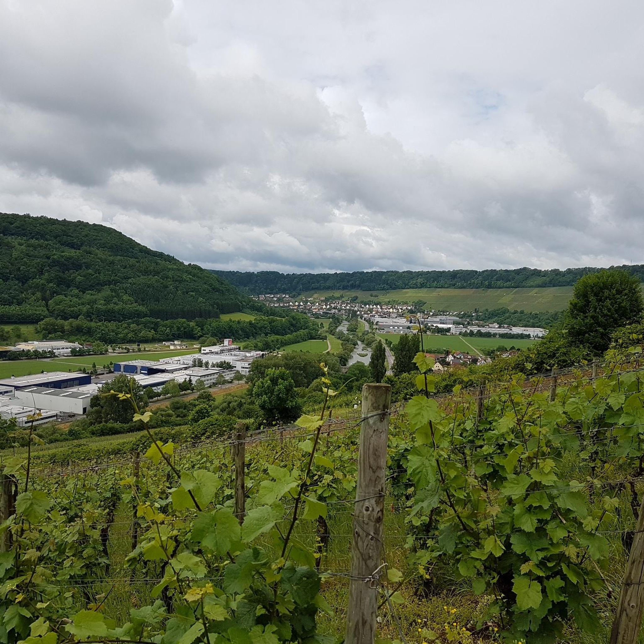
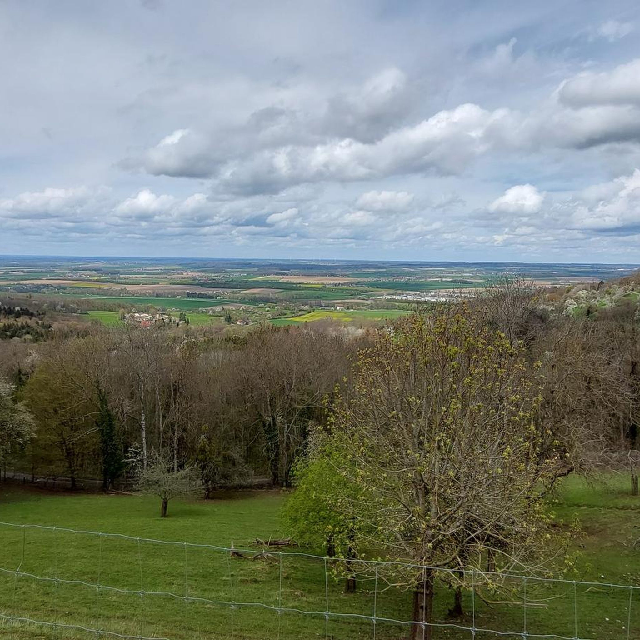
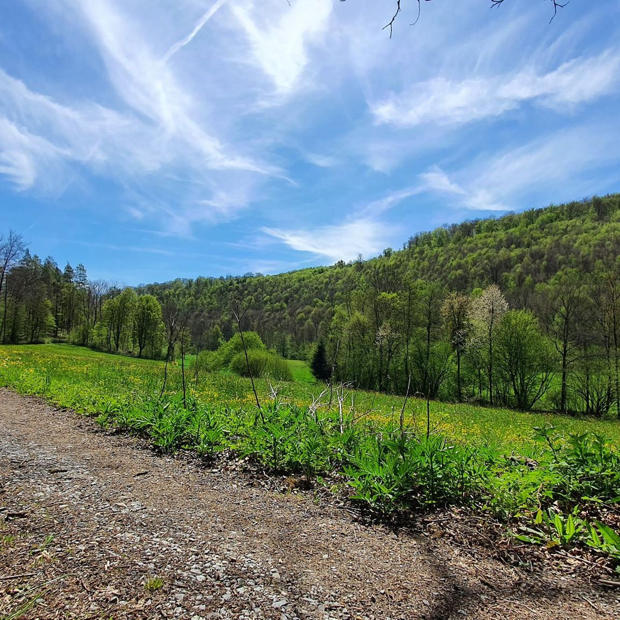
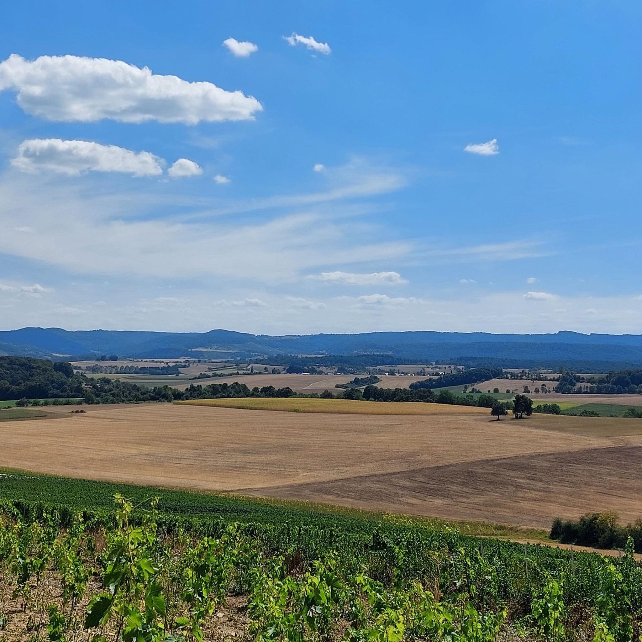
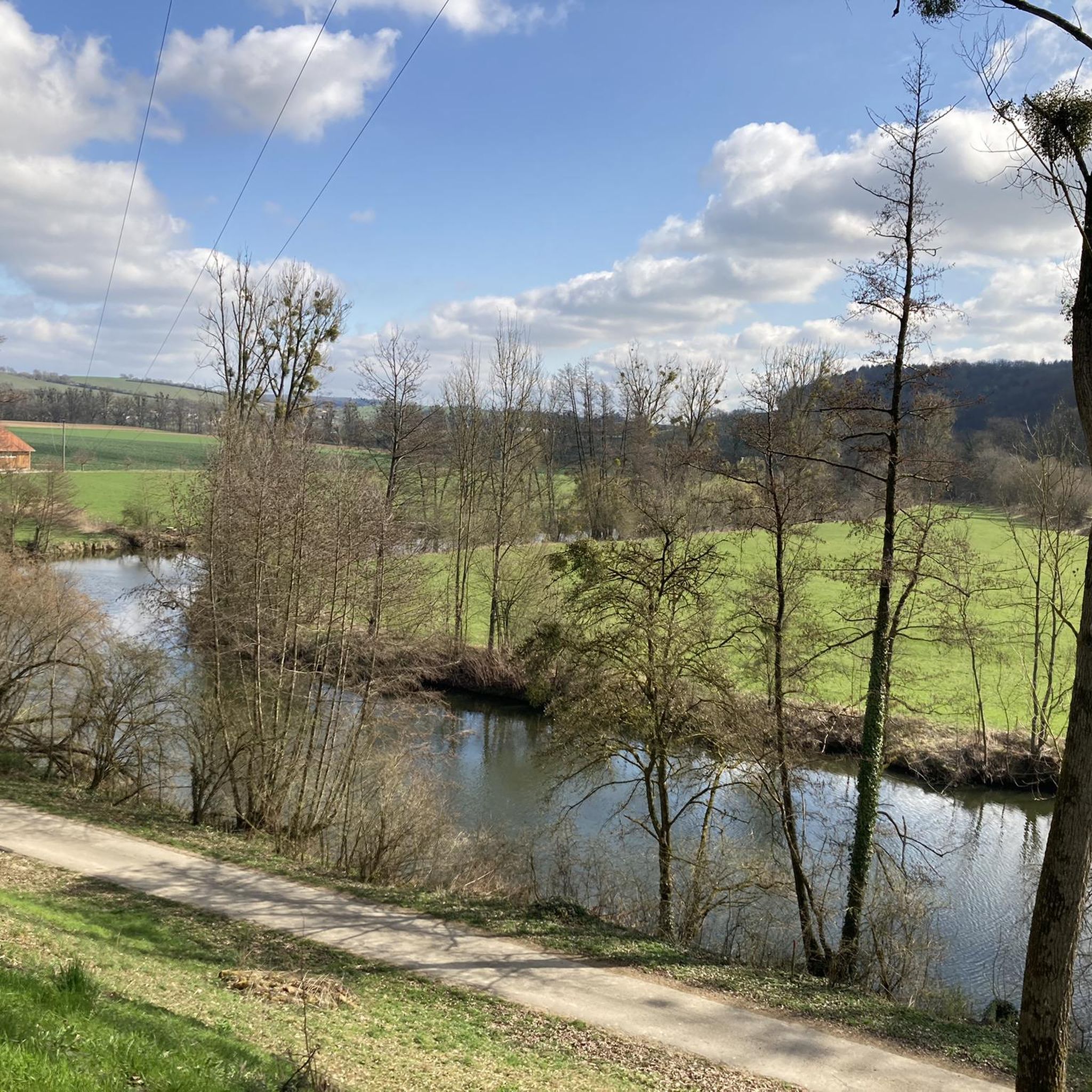
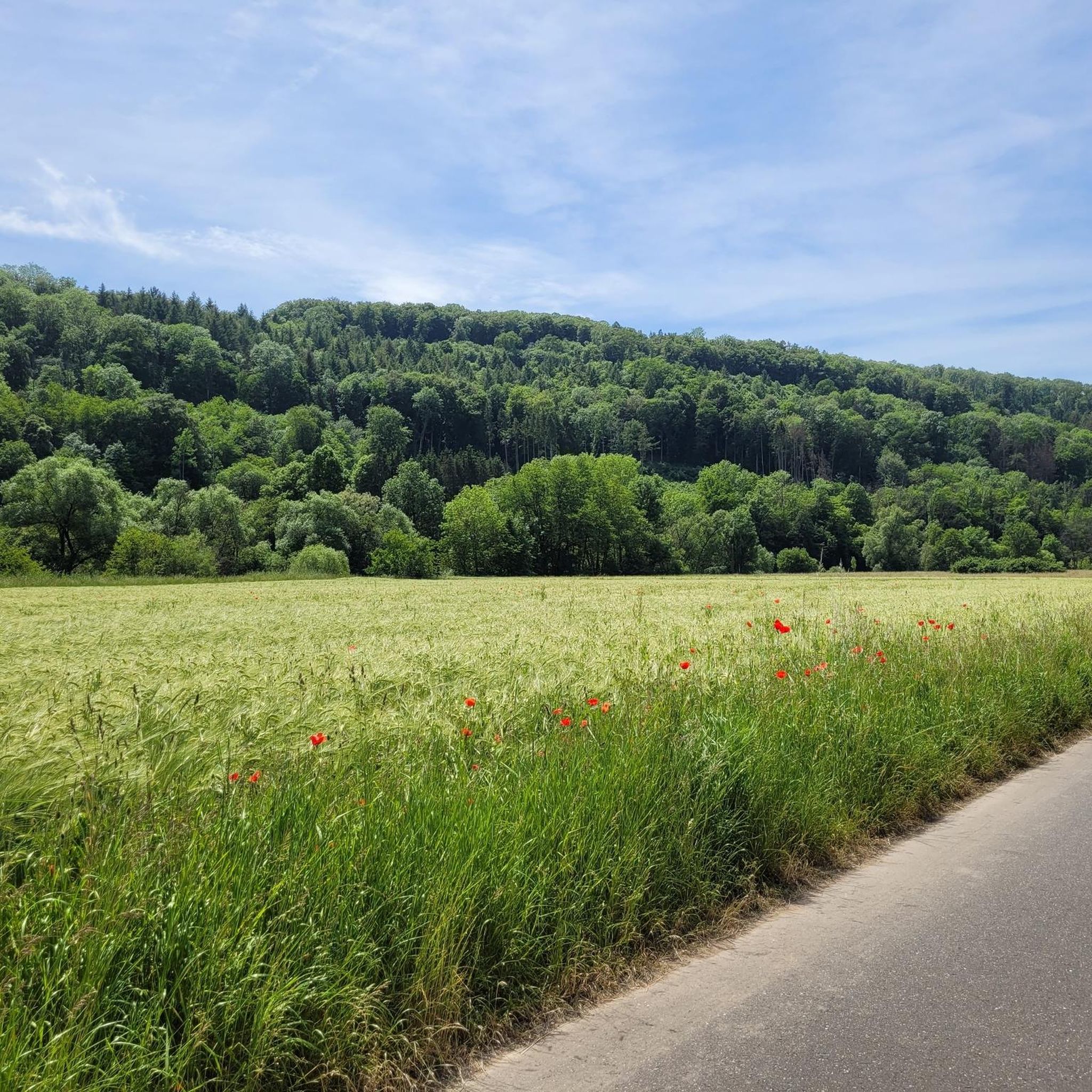
Jogging routes in Hohenlohe traverse a diverse landscape characterized by rolling hills, fertile plains, and scenic river valleys. The region is crisscrossed by the Kocher, Jagst, and Bühler rivers, offering paths along their gentle slopes. Expansive views are found on the Hohenloher Ebene, while numerous wooded hills and forests provide shaded trails.
Best jogging routes in Hohenlohe
- The most popular jogging route is Winkler's Wine Tavern – M HM Route Marker loop from Muthof, an 11.5 miles (18.5 km)…
Last updated: July 2, 2026
5.0
(4)
391
runners
20.7km
02:16
280m
280m
Hard run. Very good fitness required. Mostly paved surfaces. Suitable for all skill levels.
5.0
(4)
377
runners
20.1km
02:08
200m
200m
Hard run. Very good fitness required. Mostly paved surfaces. Suitable for all skill levels.

Sign up for free
4.6
(15)
235
runners
Moderate run. Good fitness required. Mostly paved surfaces. Suitable for all skill levels.
4.8
(6)
108
runners
10.3km
01:04
50m
50m
Moderate run. Good fitness required. Mostly paved surfaces. Suitable for all skill levels.
3.8
(5)
124
runners
Moderate run. Good fitness required. Mostly paved surfaces. Suitable for all skill levels.
5.0
(3)
117
runners
6.61km
00:41
30m
30m
Moderate run. Good fitness required. Mostly paved surfaces. Suitable for all skill levels.
4.6
(8)
80
runners
6.37km
00:40
50m
40m
Moderate run. Good fitness required. Mostly paved surfaces. Suitable for all skill levels.
4.7
(3)
84
runners
Moderate run. Good fitness required. Mostly paved surfaces. Suitable for all skill levels.
4.4
(12)
94
runners
7.83km
00:49
50m
50m
Moderate run. Good fitness required. Mostly paved surfaces. Suitable for all skill levels.
3.4
(17)
112
runners
7.57km
00:47
30m
30m
Moderate run. Good fitness required. Mostly paved surfaces. Suitable for all skill levels.
Get access to more routes and recommendations from other explorers.
Sign up for free
Already have an account?
Our route recommendations are based on thousands of hikes, rides, and runs completed by other people on komoot.
Start today with a free account
Your next adventure awaits.
Login or Signup
Popular around Hohenlohekreis
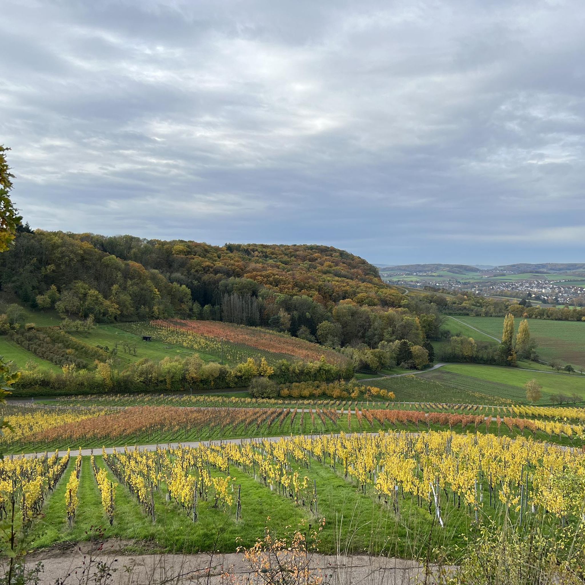
Running Trails around Öhringen
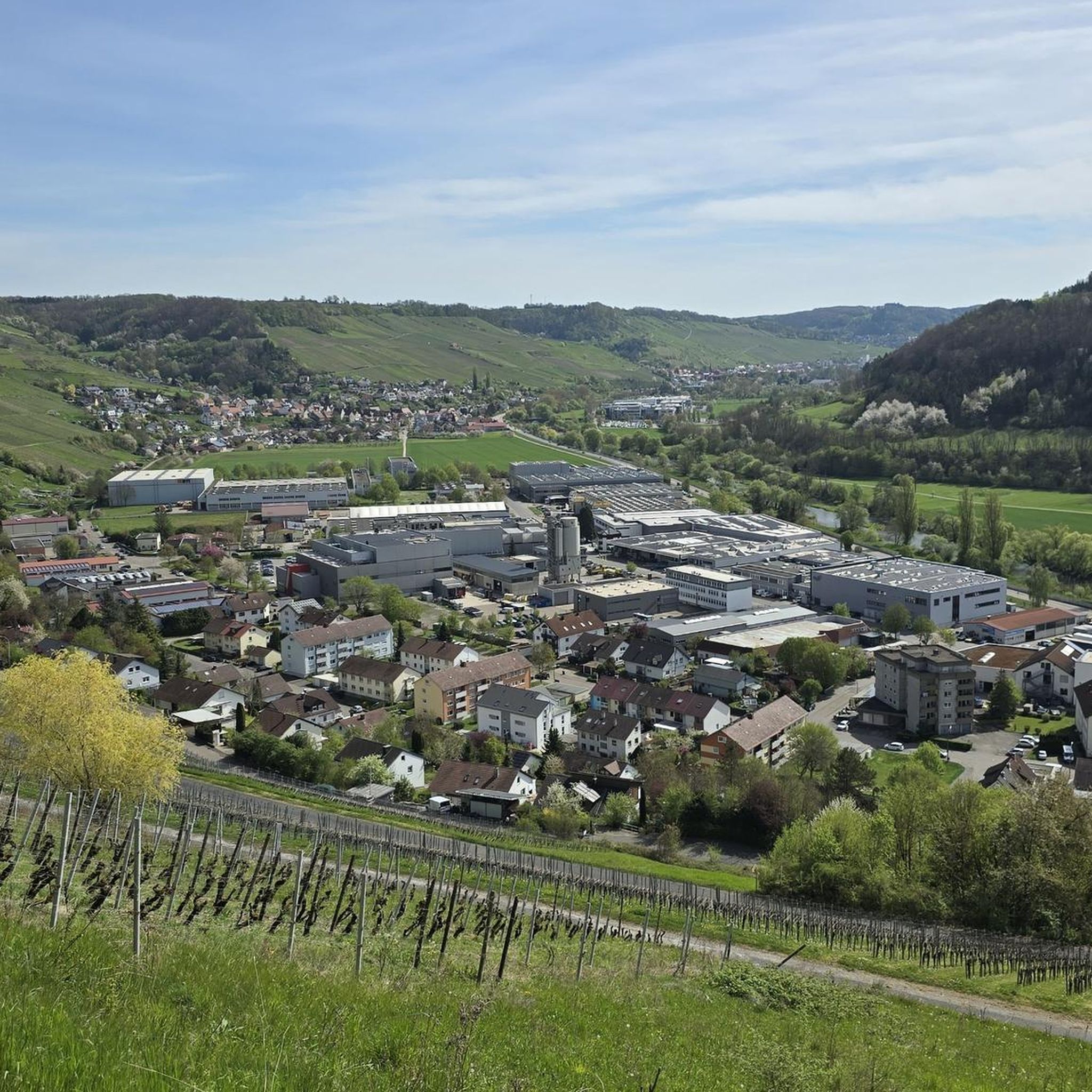
Running Trails around Niedernhall
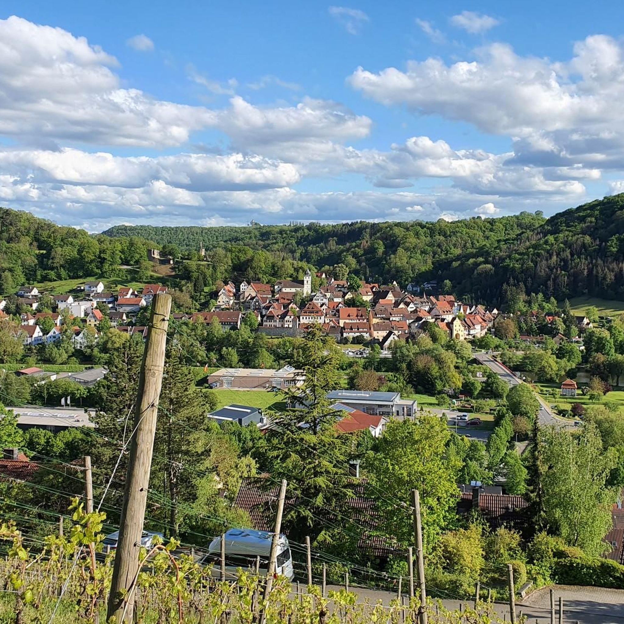
Running Trails around Forchtenberg
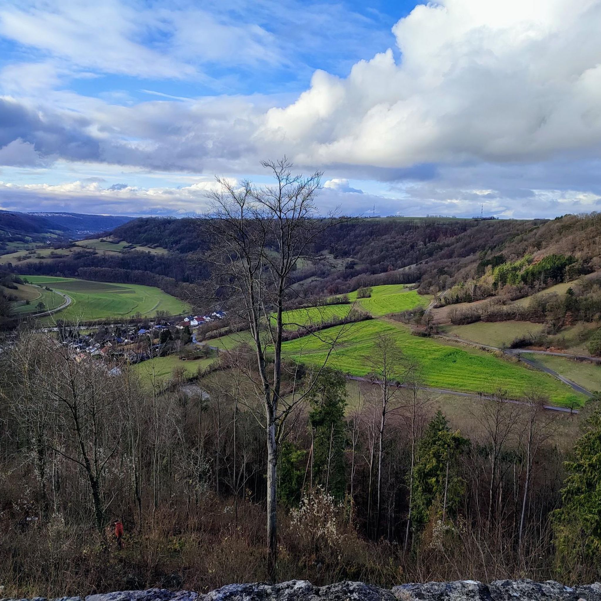
Running Trails around Künzelsau
Running Trails around Ingelfingen
Running Trails around Waldenburg
Running Trails in Heiligenwald
Running Trails around Bretzfeld
Running Trails around Schöntal
Running Trails around Zweiflingen
Other adventures in Hohenlohe


Tips from the Community

City wall and rampart in Hohenlohe
0
0


definitely worth a visit, the city gate is only a few meters off the bike path
0
0
The old town of Öhringen is nice for strolling
0
0

Öhringen is a town in the Franconian-influenced northeast of Baden-Württemberg, located about 25 km east of Heilbronn. The first settlements in historical times can be traced back to the Romans, who built two forts on the Limes. The town and its collegiate monastery were first mentioned in a document in the Öhringen Foundation Charter dated 1037 as Oringowe. In 1677, Öhringen became the residential town of the Princes of Hohenlohe and experienced a structural and economic upswing. After the transition to Württemberg in 1806, the town became the seat of the Oberamt (district), in 1938 the seat of the Öhringen district and remained the district town until the founding of the Hohenlohe district in 1973.
0
0
Öhinger Hofgarten am Pferdemarkt
0
0

Beautiful golf course with well-maintained grounds
0
0

The former train station is located almost at the monastery and opposite the monastery garden.
8
0
Frequently Asked Questions
How many running routes are available in Hohenlohekreis?
There are over 680 running routes available in Hohenlohekreis, catering to various fitness levels. The komoot community has explored more than 6000 of these trails.
What kind of landscapes can I expect while jogging in Hohenlohe?
Hohenlohekreis offers a diverse landscape for runners, characterized by rolling hills, fertile plains, and scenic river valleys. You'll find paths along the Kocher, Jagst, and Bühler rivers, expansive views from the Hohenloher Ebene, and shaded trails through numerous wooded hills and forests. Many routes also wind through picturesque vineyards and orchards.
Are there any historical sites or natural landmarks to see along the running trails?
Yes, many running routes in Hohenlohe pass by interesting landmarks. You can explore trails near historic villages and impressive castles like Neuenstein Castle. For specific natural features, consider routes that take you through areas with gorges, such as the Zimmerbach Valley or Deubach Gorge. Some routes also offer views from huts like the Siebeneicher Himmelreich barbecue hut.
Are there running routes suitable for beginners or those looking for an easier run?
Yes, Hohenlohekreis offers a good selection of easier running routes. Out of over 680 routes, 101 are classified as easy. These typically feature gentler slopes and shorter distances, perfect for a relaxed jog.
Can I find circular running routes in Hohenlohe?
Absolutely. Many of the running paths in Hohenlohe are designed as loops, allowing you to start and finish at the same point. An example is the Schöntal Monastery Pharmacy loop from Kloster Schöntal, which is a moderate 6.4 km route.
Are there any running trails that are particularly family-friendly?
For families, routes with moderate difficulty and shorter distances are ideal. The Kneipp pool – Climbing Tower Öhringen loop from Öhringen Hauptbahnhof is a moderate 7.6 km trail that leads through urban green spaces and local landmarks, offering points of interest for all ages.
What do other runners enjoy most about jogging in Hohenlohekreis?
The running routes in Hohenlohekreis are highly rated by the komoot community, with an average score of 4.4 stars from over 500 reviews. Runners often praise the region's varied terrain, from river valleys to wooded areas, and the well-maintained trails that make for an enjoyable experience.
Are the running routes in Hohenlohe accessible by public transport?
Some running routes in Hohenlohe are conveniently accessible by public transport. For instance, the Kneipp pool – Climbing Tower Öhringen loop starts directly from Öhringen Hauptbahnhof, making it easy to reach without a car.
Is parking available near the running trails in Hohenlohe?
Yes, parking is generally available near many trailheads and starting points for running routes in Hohenlohe. For routes starting in towns or near popular attractions, you'll often find designated parking areas. It's always a good idea to check specific route details for parking information.
Can I find routes that follow river valleys?
Yes, the Hohenlohekreis is crisscrossed by the Kocher, Jagst, and Bühler rivers, and their valleys provide excellent, often flat to gently sloping paths ideal for running. These riverside routes are frequently lined with vineyards, orchards, and forests, offering varied and pleasant scenery. An example is the Weißbach Weir – Kocher River loop from Ingelfingen.
Are there any longer running routes for experienced runners?
For experienced runners seeking a challenge, Hohenlohekreis offers several difficult routes. The Winkler's Wine Tavern – M HM Route Marker loop from Niedernhall is a demanding 20.2 km path that winds through river valleys and wooded areas, perfect for a longer run.
What is the best time of year to go jogging in Hohenlohe?
Hohenlohe offers enjoyable running conditions throughout much of the year. Spring and autumn provide pleasant temperatures and beautiful scenery with blooming flowers or colorful foliage. During warmer months, the region's numerous wooded hills and forests offer shaded trails, providing a refreshing environment for jogging.
Most popular routes in Hohenlohe
Most popular attractions in Hohenlohe

Get inspired with the komoot mobile app


Didn’t find what you were looking for?
Check out more Running Trails & Routes throughout Hohenlohekreis below and find the perfect route in your destination.
Explore more
Browse the best Running Trails & Routes in other regions.
