Weißenstadter Forst-Süd
Weißenstadter Forst-Süd
The best mountain hikes around Weißenstadter Forst-Süd
5.0
(6)
48
hikers
23
hikes
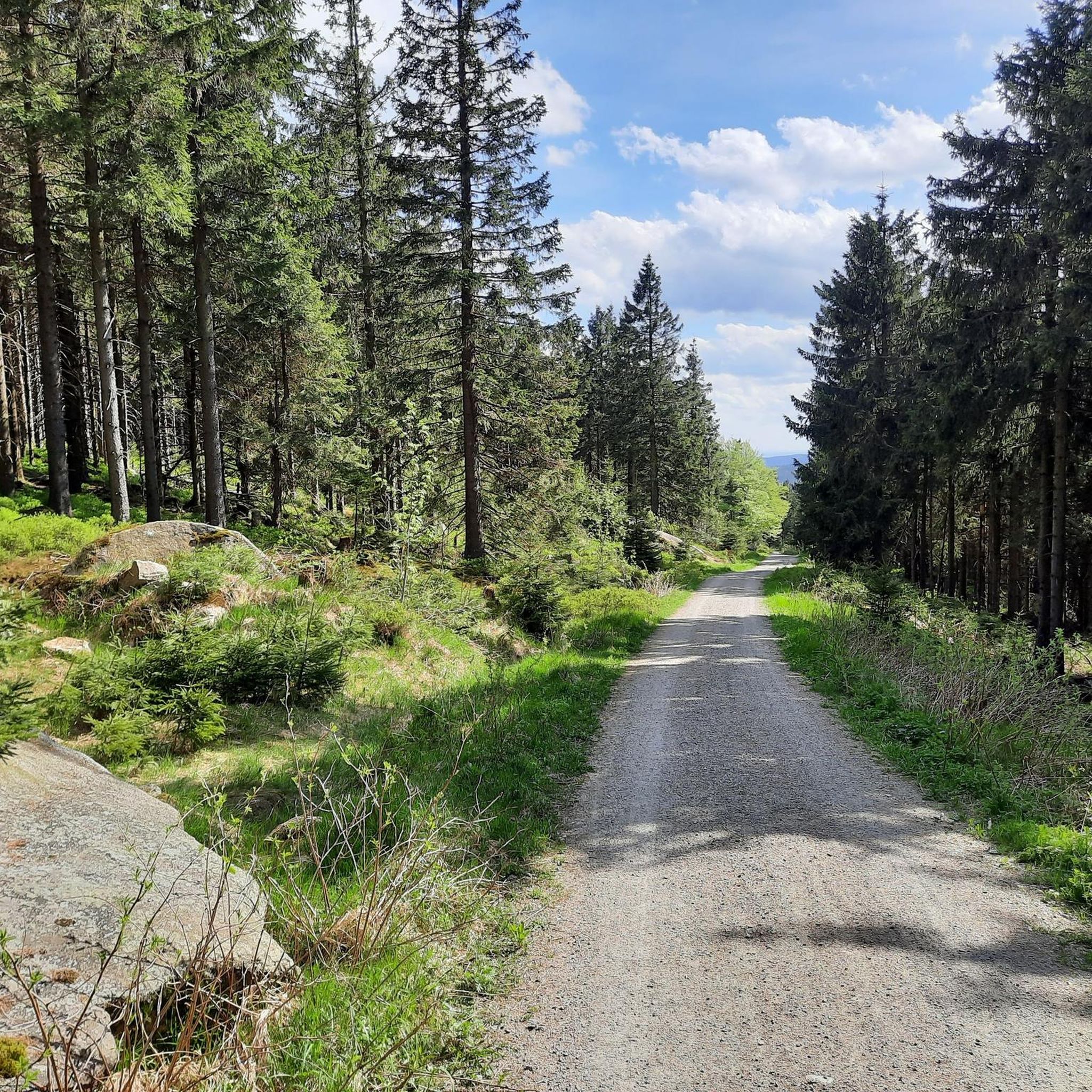
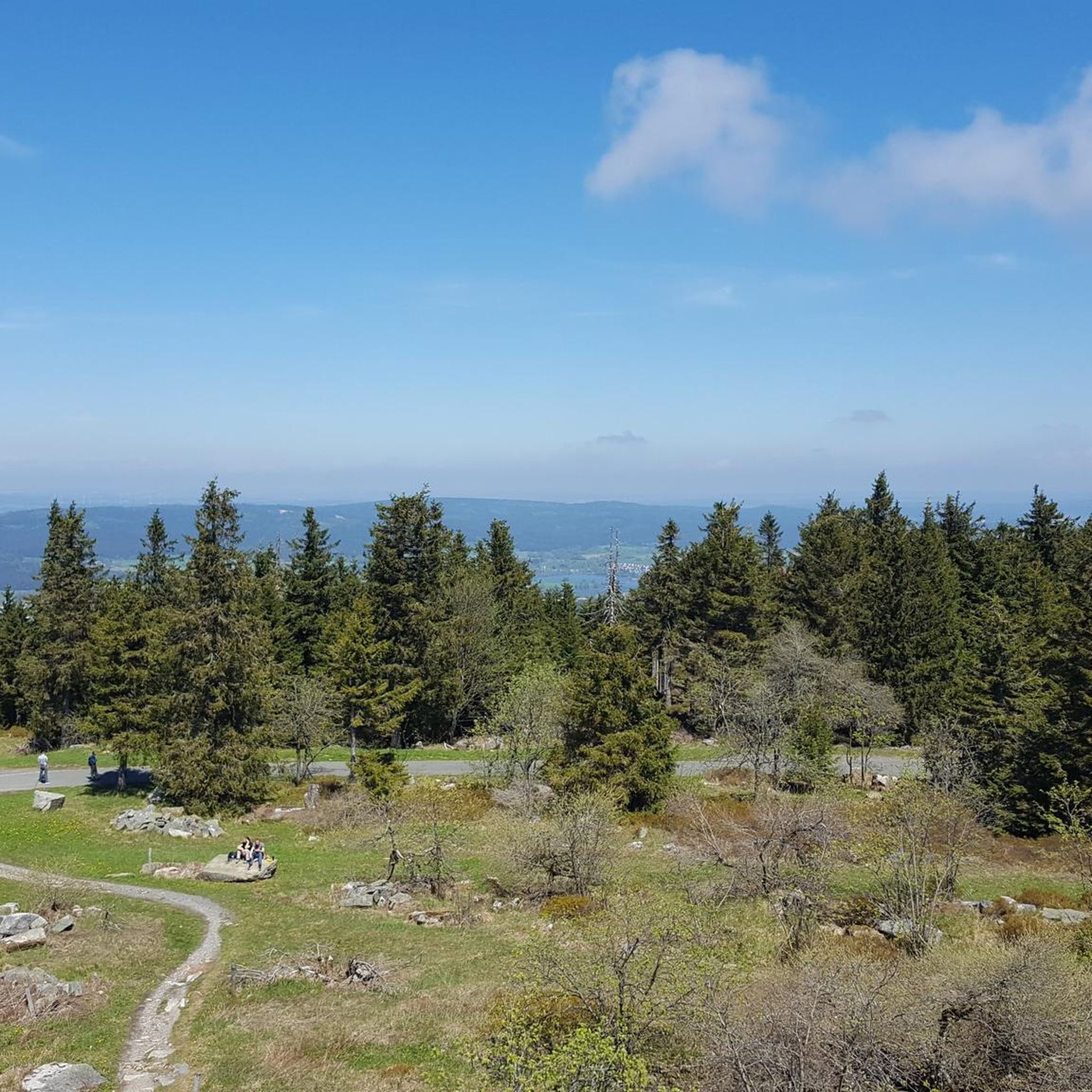
Mountaineering routes around Weißenstadter Forst-Süd traverse extensive mountain forests with spruce, beech, and sycamore trees, characteristic of the Fichtelgebirge mountains. The region features prominent peaks such as Schneeberg (1051 meters), the highest mountain in Northern Bavaria, and Ochsenkopf, the second-highest. Notable rock formations like the gigantic granite towers of Rudolfstein and the gneiss and granite rocks on Nußhardt provide varied terrain for mountaineering. These landscapes offer diverse challenges and scenic viewpoints for outdoor enthusiasts.
Best mountaineering routes around Weißenstadter Forst-Süd
…Last updated: September 29, 2026
5.0
(2)
16
hikers
Moderate mountaineering route. Good fitness required. Easily-accessible paths. Suitable for all skill levels.
4
hikers
8.00km
02:25
270m
270m
Moderate mountaineering route. Good fitness required. Easily-accessible paths. Suitable for all skill levels.

2
hikers
Moderate mountaineering route. Good fitness required. Easily-accessible paths. Suitable for all skill levels.
5.0
(3)
6
hikers
9.77km
02:52
270m
270m
Moderate mountaineering route. Good fitness required. Easily-accessible paths. Suitable for all skill levels.
1
hikers
10.8km
03:36
550m
550m
Moderate mountaineering route. Good fitness required. Easily-accessible paths. Suitable for all skill levels.
Get access to more routes and recommendations from other explorers.
Already have an account?
Our route recommendations are based on thousands of hikes, rides, and runs completed by other people on komoot.
Start today with a free account
Your next adventure awaits.
Popular around Weißenstadter Forst-Süd
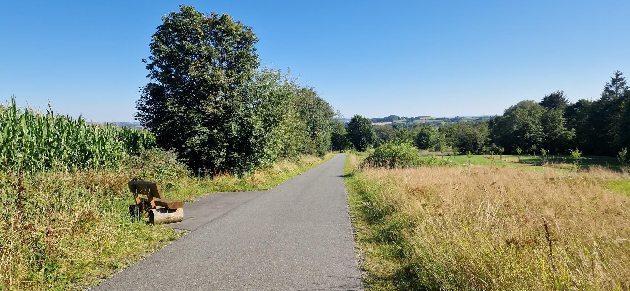
Entdecke die fränkische Vielfalt – Radregion Fichtelgebirge
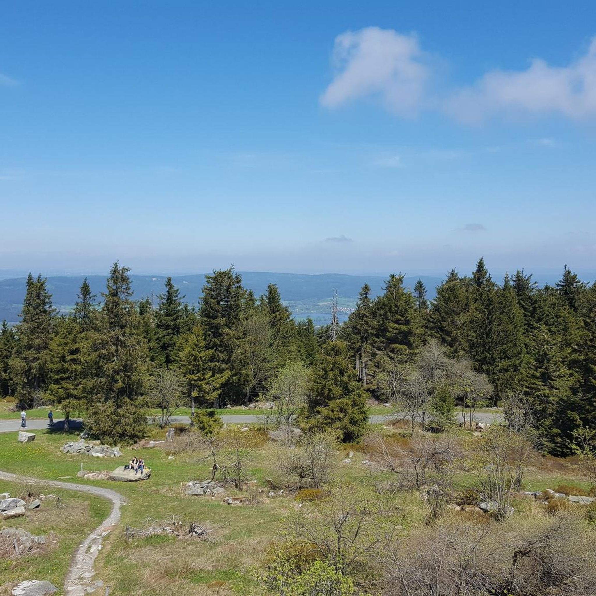
Cycling around Weißenstadter Forst-Süd
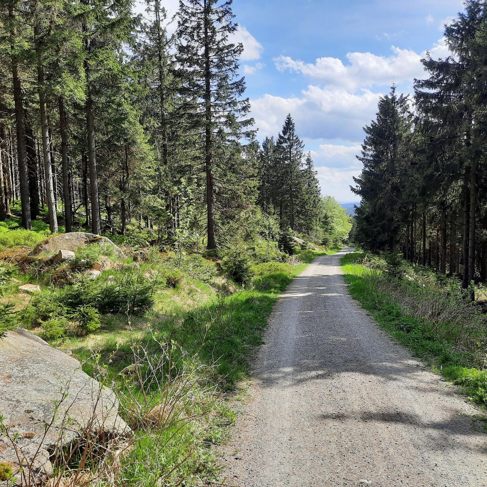
MTB Trails around Weißenstadter Forst-Süd
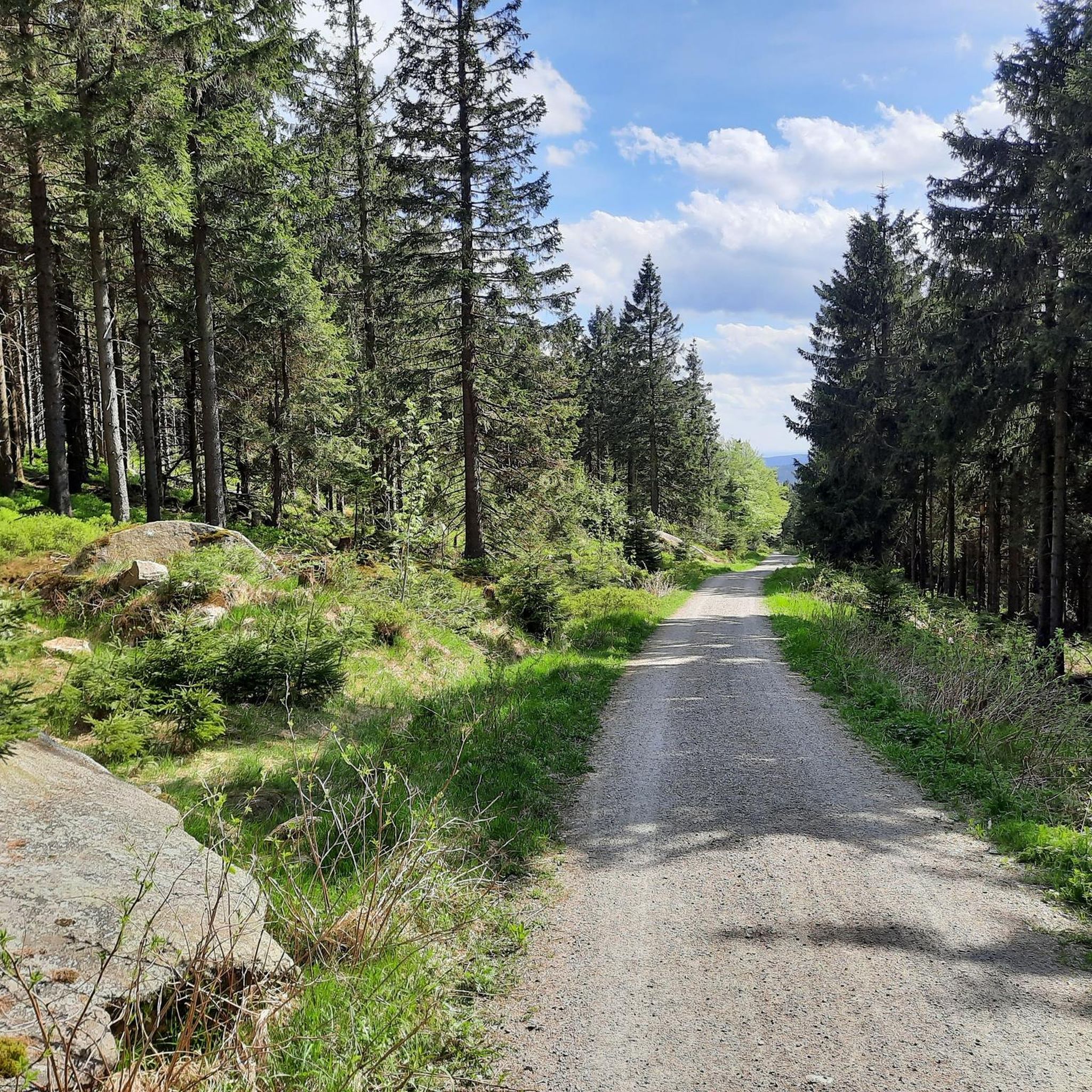
Hiking around Weißenstadter Forst-Süd
Road Cycling Routes around Weißenstadter Forst-Süd

Gravel biking around Weißenstadter Forst-Süd
Running Trails around Weißenstadter Forst-Süd
Other adventures around Weißenstadter Forst-Süd

Tips from the Community

Great option for transporting bicycles!
2
0
The lift is a thing of the past - now it's a modern gondola lift!
0
0

Finely rooted and blocky.. great natural path
7
1

Naturally strenuous to walk and hiking boots are recommended. But the ascent here feels adventurous.
0
1

Great view, magnificent panorama
0
1
Very informative and well laid out
0
0

Nice resting place for a short break
0
0

Something must have gone wrong when combining highlights🤷🏼♀️ Now it has landed right on the path that is closed to bikes🙄 The trail in question starts a little to the left of it.
0
0
Frequently Asked Questions
How many mountaineering routes are available in Weißenstadter Forst-Süd?
Weißenstadter Forst-Süd offers a diverse network of over 25 mountaineering routes. These trails cater to various skill levels, from moderate ascents to more challenging mountain paths, allowing you to explore the extensive mountain forests and prominent peaks of the Fichtelgebirge.
Are there any easy mountaineering routes suitable for beginners in Weißenstadter Forst-Süd?
Yes, there are several easier mountaineering routes. While most trails are moderate, you can find at least 3 routes classified as easy, perfect for those new to mountaineering or looking for a less strenuous experience amidst the beautiful Fichtelgebirge landscape.
What are some notable natural attractions to see along the mountaineering routes?
The region is rich in natural beauty. You can encounter impressive rock formations like the gigantic granite towers of Rudolfstein, known as 'Die drei Brüder,' or the gneiss and granite rocks on Nußhardt. The Fichtel Lake and Weißenstädter Lake are also prominent features, offering serene views and recreational opportunities.
Are there any circular mountaineering routes in Weißenstadter Forst-Süd?
Many of the mountaineering routes in Weißenstadter Forst-Süd are designed as circular trails, allowing you to start and end at the same point. For example, the Haberstein Rock Formation – Lake House Fichtelgebirge loop from Neubauer Forst Nord is a popular circular option exploring distinctive rock formations.
What are the best viewpoints or scenic spots along the trails?
The region offers breathtaking panoramic views. The summit of Schneeberg, the highest mountain in Northern Bavaria, provides comprehensive vistas. You can also find excellent views from the View from Weißmain-Fels, which is part of a loop from Neubauer Forst Nord, or from the observation tower on Schneeberg and the 'Schlüssel' viewing platform on Großer Waldstein.
Can I bring my dog on the mountaineering routes?
Weißenstadter Forst-Süd is generally dog-friendly, with many trails winding through extensive forests. It's always advisable to keep your dog on a leash, especially in areas with wildlife or near other hikers, and to check specific route regulations before you go. The natural environment here is perfect for exploring with your canine companion.
Are there any family-friendly mountaineering options?
While many routes are moderate, some are suitable for families looking for an outdoor adventure. Consider routes that are shorter in distance and have less elevation gain. The area around Weißenstadt Lake, for instance, offers more gentle paths that can be enjoyed by all ages.
What is the typical duration for mountaineering routes in this region?
The duration of mountaineering routes varies, but many moderate trails can be completed within 3 to 5 hours. For example, the Weißmain Spring – Ochsenkopf Summit Cross loop from Bischofsgrün typically takes around 3 hours and 12 minutes, offering a rewarding experience without being overly long.
What do other mountaineers enjoy most about Weißenstadter Forst-Süd?
The area is highly rated by the komoot community, with an average score of 4.7 stars. Reviewers often praise the diverse terrain, from extensive mountain forests to prominent peaks like Schneeberg and Ochsenkopf, and the unique granite rock formations. The well-maintained trails and stunning views are frequently highlighted as key attractions.
Are there any routes that lead to the highest peaks in the Fichtelgebirge?
Yes, you can find routes that ascend to the region's highest points. The 1000-meter stone – Schneeberg summit loop from Bischofsgrüner Forst will take you towards Schneeberg, which at 1051 meters is the highest mountain in Northern Bavaria. Other routes also offer views or ascents of Ochsenkopf, the second-highest peak.
Where can I find parking for mountaineering routes in Weißenstadter Forst-Süd?
Parking is generally available near the starting points of many popular routes. Given the region's focus on outdoor activities, trailheads often have designated parking areas. It's recommended to check specific route descriptions for detailed parking information, especially for routes originating from towns like Bischofsgrün or near major attractions.
Are there any routes that pass by the Weißmain Spring?
Yes, the Weißmain Spring is a notable natural attraction and a refreshing stop for hikers. The Weißmain Spring – Ochsenkopf Summit Cross loop from Bischofsgrün is one such route that specifically includes this historical spring, offering a pleasant journey through the area.
What kind of terrain can I expect on the mountaineering trails?
The terrain in Weißenstadter Forst-Süd is varied, characterized by extensive mountain forests with spruce, beech, and sycamore trees. You'll encounter paths winding through these forests, as well as more rugged sections near prominent rock formations like those on Rudolfstein and Nußhardt. Expect a mix of forest paths, rocky sections, and ascents to mountain peaks.
Most popular routes around Weißenstadter Forst-Süd
Most popular attractions around Weißenstadter Forst-Süd

Get inspired with the komoot mobile app


Explore more
Browse the best Mountain Hikes & Routes in other regions.
