Weißenstadter Forst-Süd
Weißenstadter Forst-Süd
The best running trails around Weißenstadter Forst-Süd
4.5
(445)
4,490
runners
381
runs
Jogging around Weißenstadter Forst-Süd offers diverse terrain within the Fichtelgebirge mountain range. The region features extensive forests, varied elevations, and prominent natural landmarks. Key geographical elements include the Weißenstädter Lake, which provides scenic running paths, and several hills and rock formations such as Rudolfstein and Drei Brüder. The area's altitude reaches approximately 788 meters, contributing to varied running conditions.
Best jogging routes around Weißenstadter Forst-Süd
- The most popular jogging route is Lake Weißenstadt – Weißenstädter See Parking Area loop from Bad Weißenstadt, a 9.7 miles (15.7 km) trail that takes about 1 hour 48 minutes to complete. This difficult route offers views of Weißenstädter Lake.
- Another top favourite among local runners is Running loop from Bischofsgrüner Forst, a moderate 4.2 miles (6.8 km) path. This route winds through forest landscapes typical of the Fichtelgebirge.
- Local runners also love the Markgräfen Hut – Hohe Haide (848 m) loop from Blockstromheide bei Kornbach, a 9.1 miles (14.6 km) trail leading through varied forest terrain, often completed in about 1 hour 39 minutes.
- Jogging around Weißenstadter Forst-Süd is defined by extensive forest paths, the scenic Weißenstädter Lake, and the varied elevations of the Fichtelgebirge. The network offers options for different ability levels, from easier loops to more challenging ascents.
- The routes in Weißenstadter Forst-Süd are highly rated by the komoot community with an average score of 4.5 stars from over 400 reviews. More than 4000 runners have used komoot to explore Weißenstadter Forst-Süd's varied terrain.
Last updated: July 11, 2026
5.0
(1)
36
runners
Hard run. Very good fitness required. Mostly paved surfaces. Suitable for all skill levels.
17
runners
6.79km
00:47
150m
140m
Moderate run. Good fitness required. Mostly paved surfaces. Suitable for all skill levels.

Sign up for free
18
runners
Moderate run. Good fitness required. Mostly paved surfaces. Suitable for all skill levels.
11
runners
5.66km
00:42
260m
260m
Moderate run. Good fitness required. Mostly paved surfaces. Suitable for all skill levels.
12
runners
56.3km
06:52
1,400m
1,400m
Hard run. Very good fitness required. Sure-footedness, sturdy shoes and alpine experience required.
Get access to more routes and recommendations from other explorers.
Sign up for free
Already have an account?
Our route recommendations are based on thousands of hikes, rides, and runs completed by other people on komoot.
Start today with a free account
Your next adventure awaits.
Login or Signup
Popular around Weißenstadter Forst-Süd
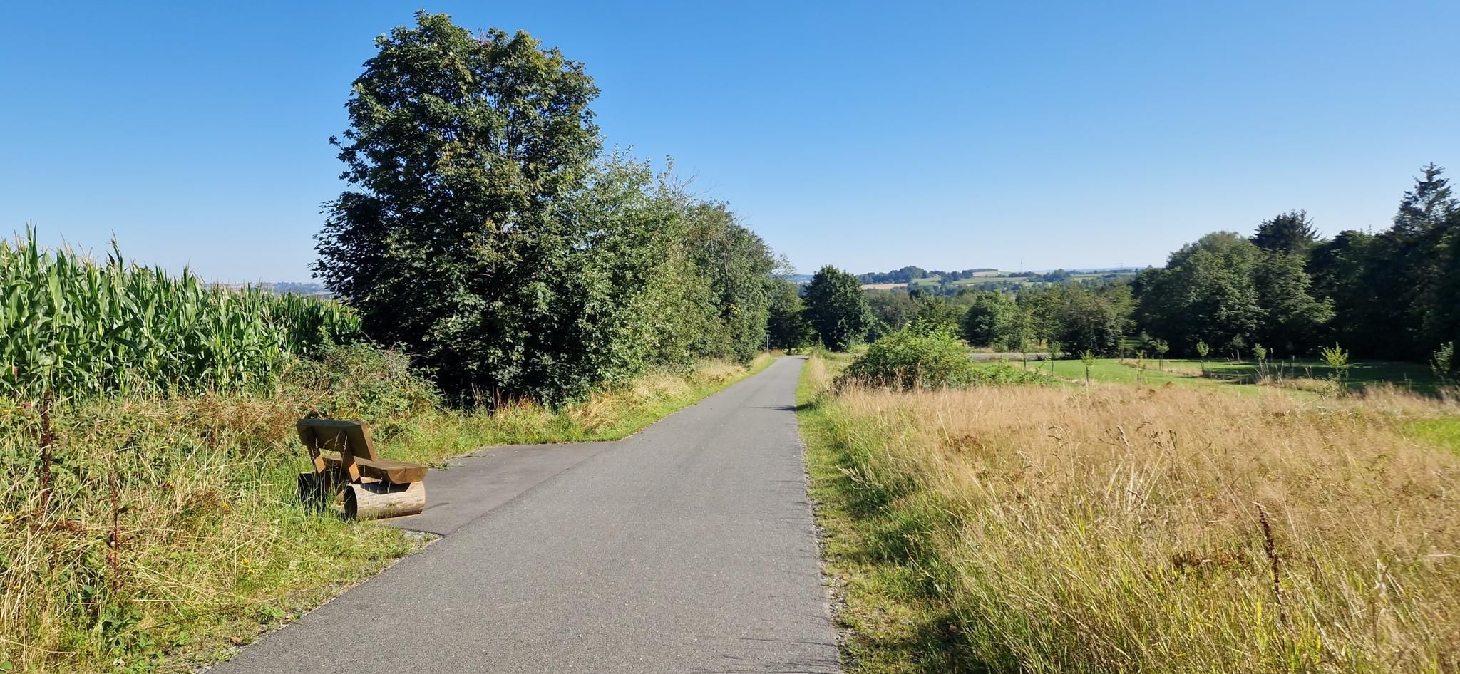
Entdecke die fränkische Vielfalt – Radregion Fichtelgebirge
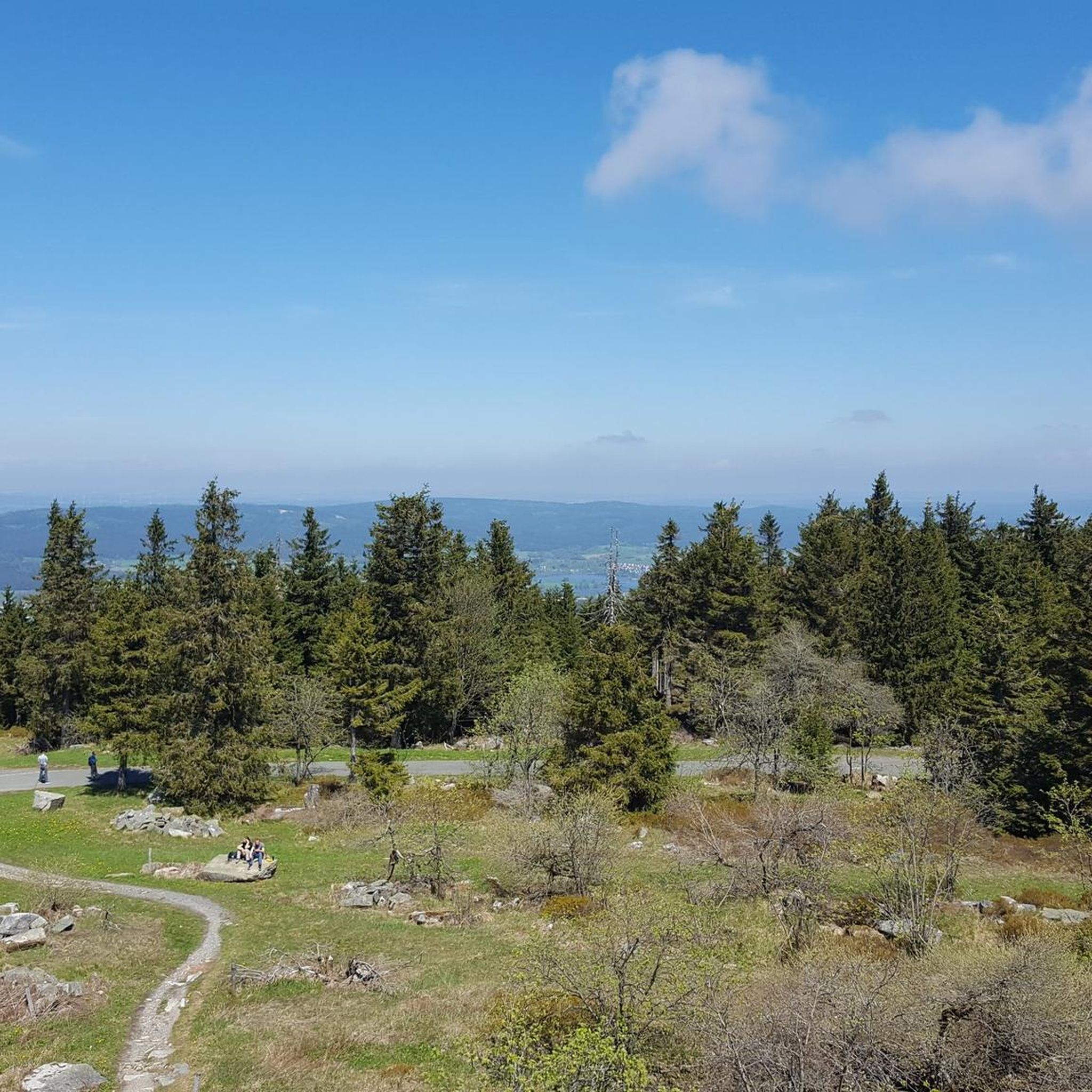
Cycling around Weißenstadter Forst-Süd
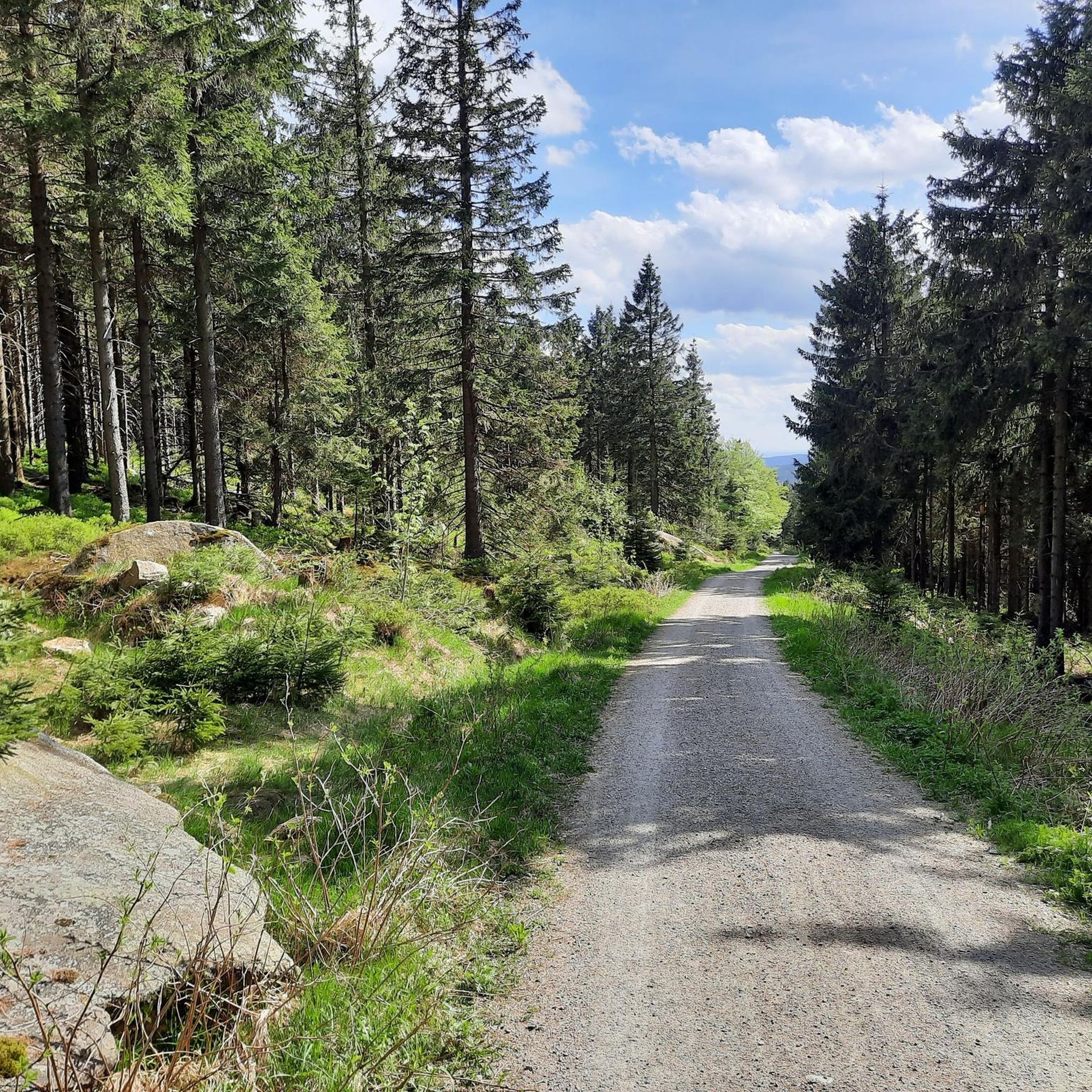
MTB Trails around Weißenstadter Forst-Süd
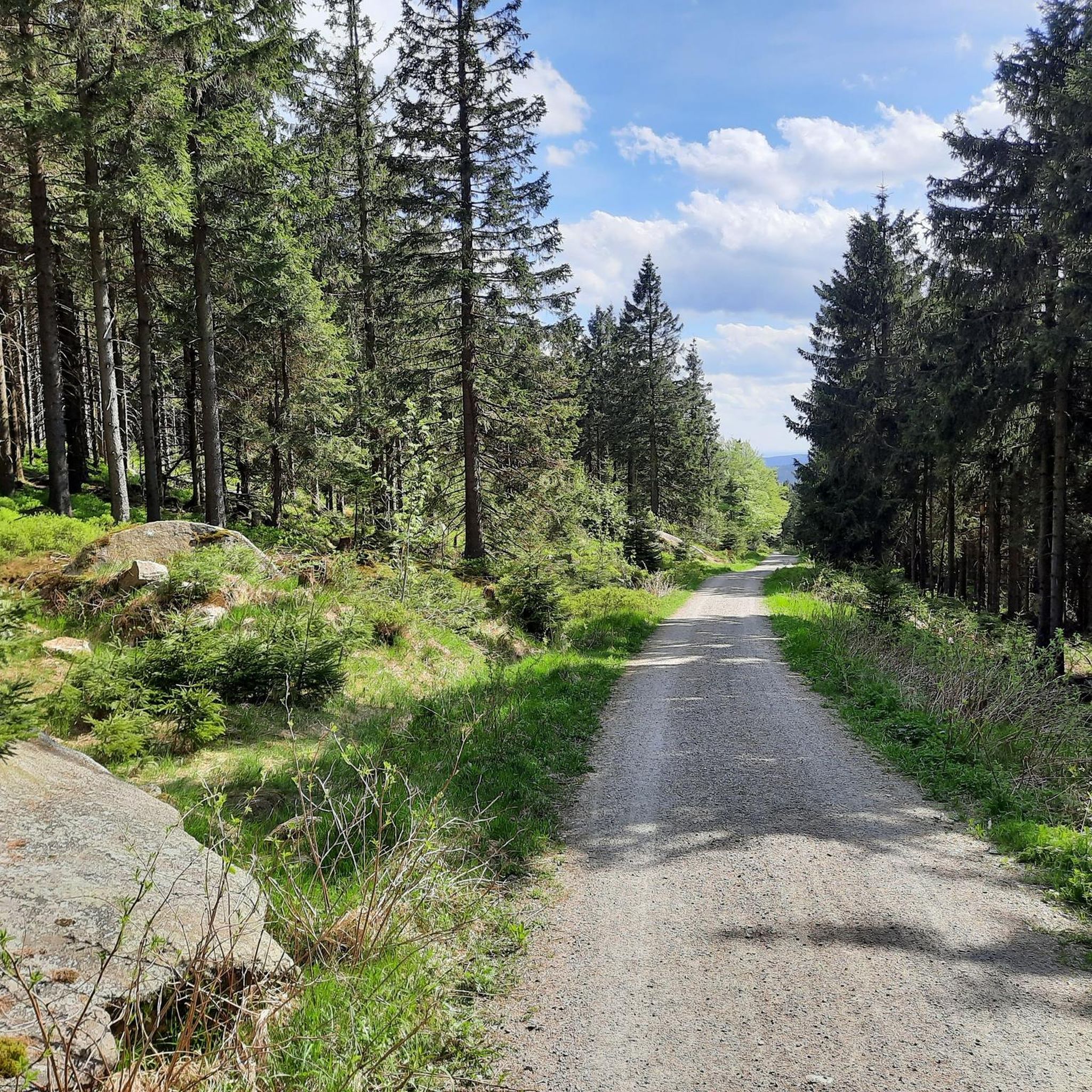
Hiking around Weißenstadter Forst-Süd
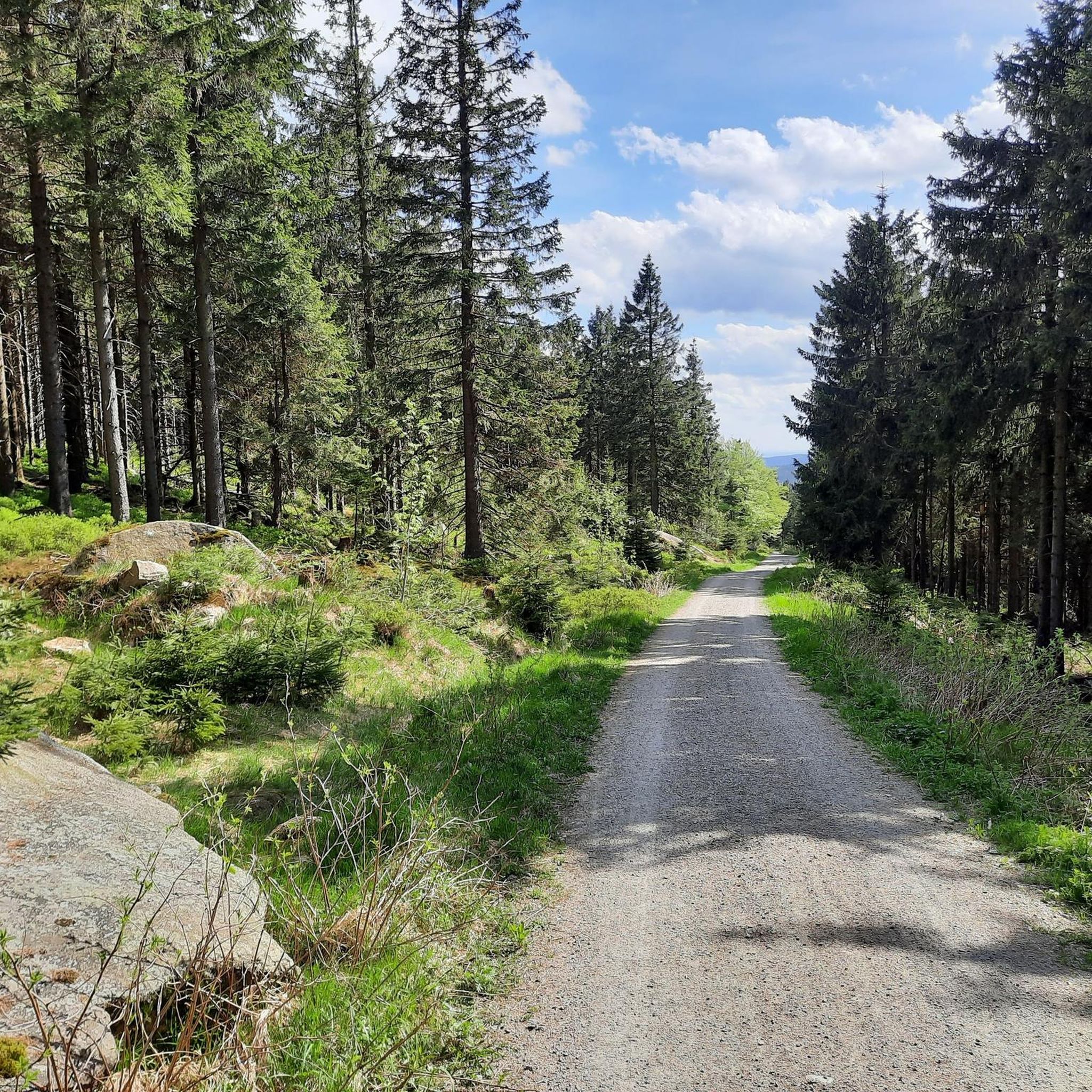
Road Cycling Routes around Weißenstadter Forst-Süd

Gravel biking around Weißenstadter Forst-Süd
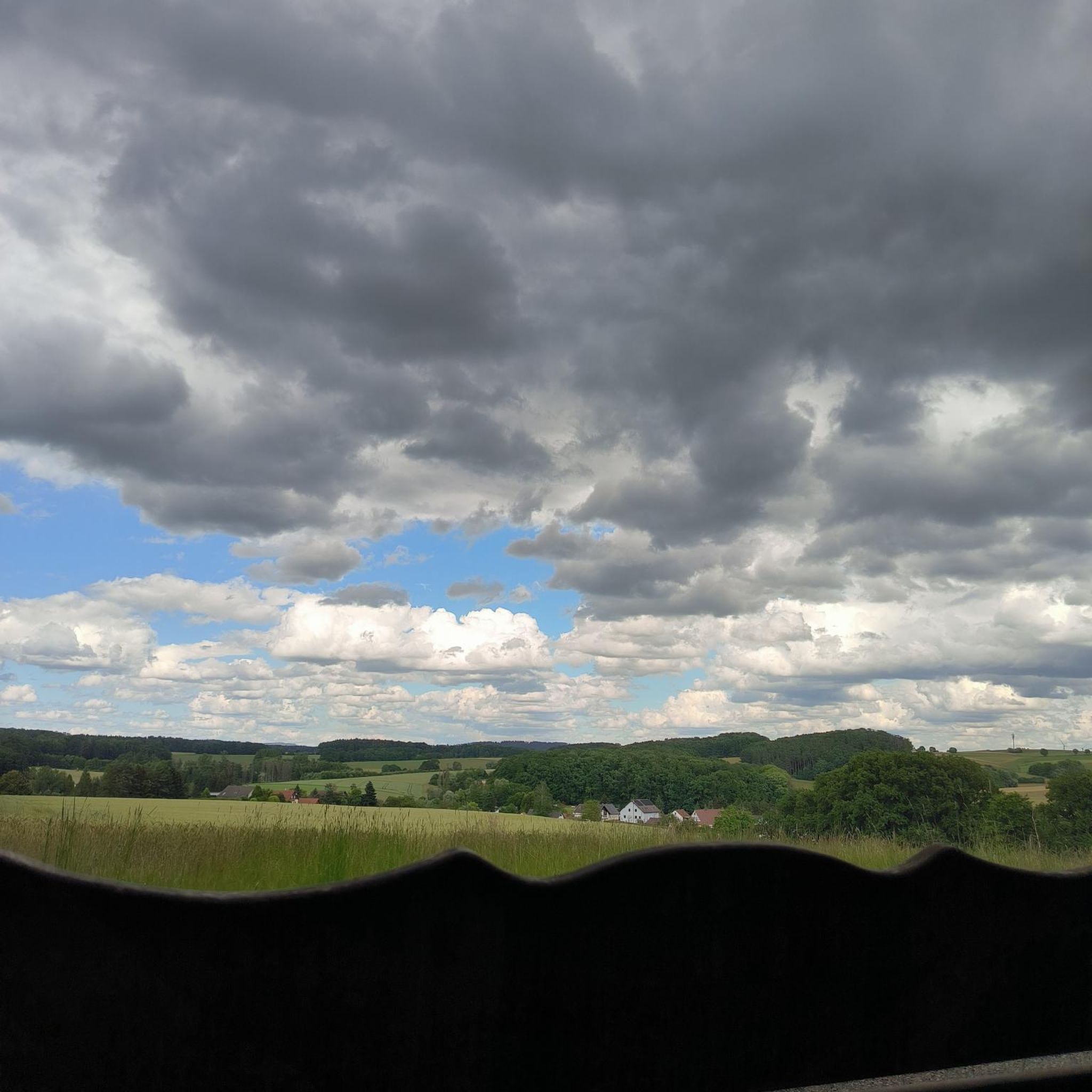
Mountain Hikes around Weißenstadter Forst-Süd
Other adventures around Weißenstadter Forst-Süd

Tips from the Community


Bridge over the Eger at Weißenstädter See
0
0

Good parking for tours, clean restroom facilities
1
0
small kiosk on the circular path around the lake
0
0

Unfortunately, the weather wasn't perfect for a beautiful mountain panorama. .
2
1
I always feel comfortable at Lake Weißenstadt.
3
1

Wonderful view from the summit cross. Another rest area is located a little further down.
4
0

A very nice place for a break, great view of the lake🤩
6
0
Frequently Asked Questions
How many running routes are available in Weißenstadter Forst-Süd?
Weißenstadter Forst-Süd offers a wide selection of running routes, with over 350 trails available for you to explore. These routes cater to various fitness levels, ensuring there's something for everyone.
What are the typical difficulty levels for jogging routes in this region?
The running routes in Weißenstadter Forst-Süd offer a good mix of challenges. You'll find approximately 30 easy routes, over 240 moderate routes, and about 80 difficult trails, providing options for beginners to experienced runners.
What kind of terrain can I expect on the running trails around Weißenstadter Forst-Süd?
The terrain in Weißenstadter Forst-Süd is quite varied, reflecting its location within the Fichtelgebirge. You can expect extensive forest paths, scenic routes along the shores of Weißenstädter Lake, and trails with varied elevations, including some challenging ascents towards peaks and rock formations like Rudolfstein and Drei Brüder. The area's altitude reaches up to 788 meters, contributing to diverse running conditions.
Are there any long-distance running options in Weißenstadter Forst-Süd?
Yes, for those looking for a longer challenge, routes like the Lake House Fichtelgebirge – Schneeberg and Backöfele loop from Bischofsgrüner Forst offer significant distances. This particular difficult route spans over 56 kilometers, providing an extensive running experience through the Fichtelgebirge.
What do other runners enjoy most about the trails in Weißenstadter Forst-Süd?
The running routes in Weißenstadter Forst-Süd are highly regarded by the komoot community, boasting an average rating of 4.5 stars from over 400 reviews. Many runners praise the diverse terrain, the beautiful forest landscapes, and the scenic views, especially around Weißenstädter Lake. Over 4,000 runners have used komoot to explore this varied region.
Are there any circular running routes available?
Yes, many of the running routes in Weißenstadter Forst-Süd are circular, offering convenient starting and ending points. An example is the Lake Weißenstadt – Weißenstädter See Parking Area loop from Bad Weißenstadt, which is a popular 15.7 km circular trail around the lake.
Can I find family-friendly jogging routes in the area?
While specific 'family-friendly' designations aren't always explicit, the presence of over 30 easy routes suggests there are plenty of less strenuous options suitable for families or those new to running. These typically feature gentler gradients and well-maintained paths through the forests or along the lake.
What natural landmarks or viewpoints can I see while running?
The region is rich in natural beauty. You might encounter prominent peaks like Ochsenkopf and Schneeberg, or interesting rock formations such as Rudolfstein and Drei Brüder. The Bullhead House – Ochsenkopf House is also a notable point of interest in the wider Fichtelgebirge area.
Are there any historical sites or castles near the running trails?
Yes, the area around Weißenstadter Forst-Süd is home to several historical sites. You could explore the ruins of Waldsteinburg (Red Castle) or Epprechtstein Castle Ruins. These offer a glimpse into the region's past and can be interesting detours or destinations after your run.
Are there any running routes that offer views of Weißenstädter Lake?
Absolutely. The Lake Weißenstadt – Weißenstädter See Parking Area loop from Bad Weißenstadt is a prime example, offering continuous scenic views of Weißenstädter Lake throughout its 15.7 km length. The lake's shores provide ideal, picturesque running paths.
What is a good moderate-difficulty route for a forest run?
For a moderate forest run, the Running loop from Bischofsgrüner Forst is a great choice. This 6.8 km path winds through the typical forest landscapes of the Fichtelgebirge, offering a pleasant and accessible experience.
Are there any routes that lead to higher elevations or viewpoints?
Yes, routes like the Markgräfen Hut – Hohe Haide (848 m) loop from Blockstromheide bei Kornbach will take you to higher elevations. This 14.6 km trail leads through varied forest terrain and includes ascents to points like Hohe Haide, offering potential viewpoints over the surrounding Fichtelgebirge.
Most popular routes around Weißenstadter Forst-Süd
Most popular attractions around Weißenstadter Forst-Süd

Get inspired with the komoot mobile app


Explore more
Browse the best Running Trails & Routes in other regions.
