The best walks and hikes around Westhorpe
4.3
(60)
332
hikers
31
hikes
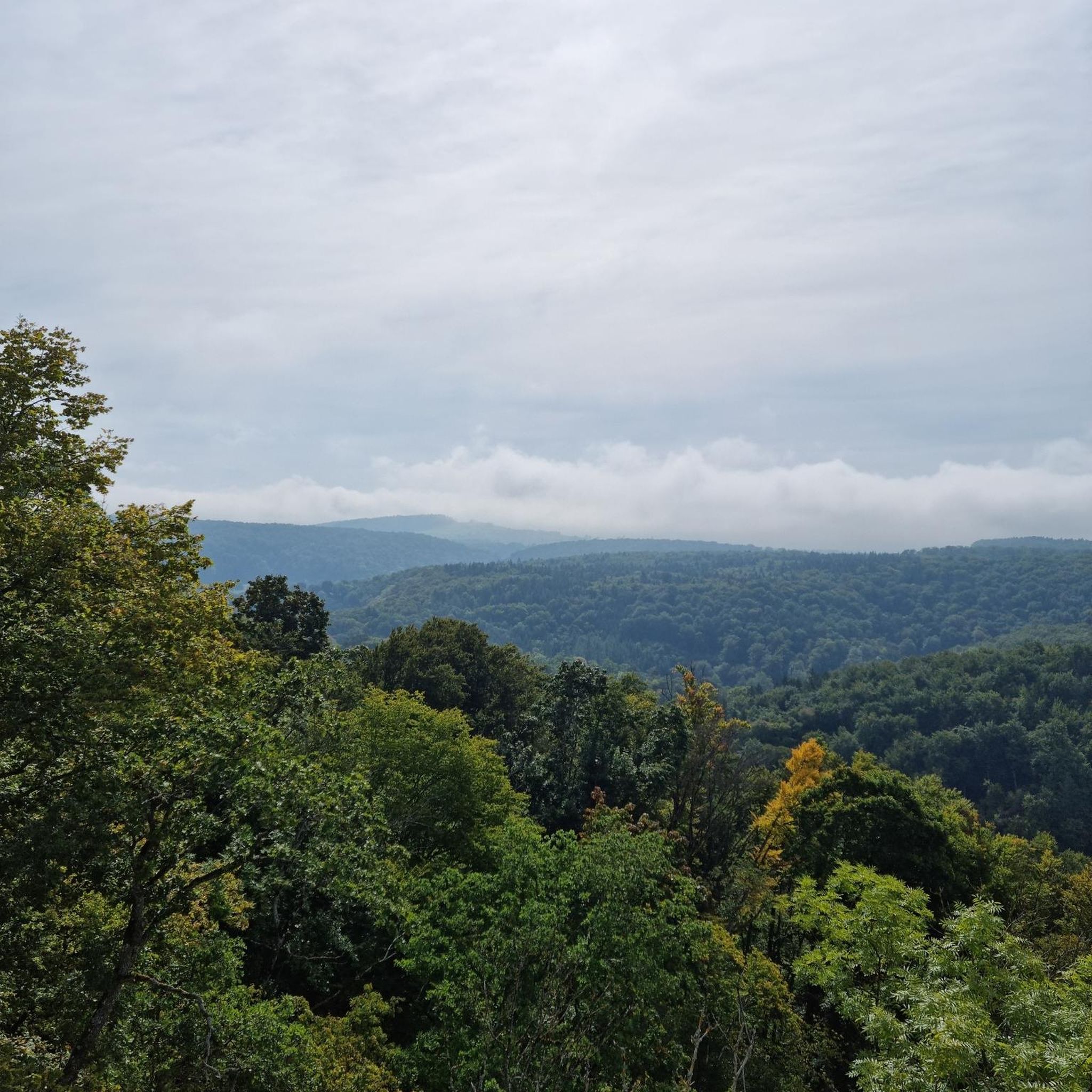
Hiking around Westhorpe offers a network of trails through a gently undulating landscape, characterized by open meadows, common land, and established forest paths. The region features low elevation changes, making many routes accessible for various fitness levels. Hikers can explore areas like wildflower meadows and nature reserves, providing diverse natural settings. The terrain is generally composed of rural paths and tracks, connecting villages and natural spaces.
Best hiking trails around Westhorpe
- The most popular hiking route is Wildflower Meadow – The Grundle Forest Path loop from Walsham-le-Willows, a 5.1 miles (8.3 km) trail that takes 2 hours 7 minutes to complete. This moderate path winds through a wildflower meadow and a forest.
- Another top favourite among local hikers is Mellis Common Nature Reserve – Mellis Common loop from Mellis, a moderate 6.6 miles (10.7 km) path. This route explores a nature reserve and common land, offering open views and natural habitats.
- Local hikers also love the The Grundle Forest Path – Wildflower Meadow loop from Rickinghall Inferior, a 12.6 miles (20.3 km) trail leading through forest paths and open meadows, often completed in about 5 hours 13 minutes.
- Hiking around Westhorpe is defined by forest paths, open meadows, and common land. The network offers options for easy, moderate, and difficult ability levels.
- The routes in Westhorpe are highly rated by the komoot community with an average score of 4.2 stars from more than 40 reviews. More than 290 hikers have used komoot to explore Westhorpe's varied terrain.
Last updated: October 9, 2026
4.3
(6)
30
hikers
Moderate hike. Good fitness required. Easily-accessible paths. Suitable for all skill levels.
5.0
(1)
8
hikers
10.7km
02:44
40m
40m
Moderate hike. Good fitness required. Easily-accessible paths. Suitable for all skill levels.

5.0
(3)
10
hikers
Hard hike. Very good fitness required. Easily-accessible paths. Suitable for all skill levels.
2.0
(1)
3
hikers
Moderate hike. Good fitness required. Easily-accessible paths. Suitable for all skill levels.
5.0
(1)
9
hikers
Moderate hike. Good fitness required. Easily-accessible paths. Suitable for all skill levels.
Get access to more routes and recommendations from other explorers.
Already have an account?
Our route recommendations are based on thousands of hikes, rides, and runs completed by other people on komoot.
Start today with a free account
Your next adventure awaits.



Tips from the Community

An unusual geographical feature where the stream at the bottom of this steep-sided ‘hollow’ has eroded the soft chalky ground. An enjoyable section of this route at any time of year.
0
0
This was the original route from Stanton to Bury St Edmunds. The wooded parts are home to thousands of Bluebells in late spring.
0
0
A poignant reminder of war. This makeshift memorial marks the site of a crashed Wellington in 1942. Further information is available online.
0
0
Enjoy a coffee, lunch or just collect picnic goodies for later.
0
0
This area has mostly clay soil so can be sticky after we weather
0
0

The grundle becomes a running stream after wet weather but this can normally be navigated by crossing it and taking the upper path which has short steeper sections
0
0

Frequently Asked Questions
How many hiking trails are available around Westhorpe?
There are over 30 hiking trails around Westhorpe, offering a variety of options for different skill levels. You'll find routes through open meadows, common land, and established forest paths.
What kind of terrain can I expect on hikes in Westhorpe?
Hikes around Westhorpe feature a gently undulating landscape, characterized by open meadows, common land, and forest paths. The region has low elevation changes, making many routes accessible. The terrain is generally composed of rural paths and tracks connecting villages and natural spaces.
Are there easy hiking trails suitable for beginners or families in Westhorpe?
Yes, Westhorpe offers 17 easy hiking trails, perfect for beginners or families. These routes typically have minimal elevation gain and traverse pleasant, well-defined paths through meadows and woodlands. For example, many sections of the Wildflower Meadow – The Grundle Forest Path loop from Walsham-le-Willows are quite gentle.
Are there any circular walks around Westhorpe?
Many of the trails around Westhorpe are designed as circular routes, allowing you to start and end at the same point. Examples include the popular Mellis Common Nature Reserve – Mellis Common loop from Mellis, which explores a nature reserve and common land, or the longer The Grundle Forest Path – Wildflower Meadow loop from Rickinghall Inferior.
Can I bring my dog on the trails in Westhorpe?
Most trails in Westhorpe are dog-friendly, allowing you to enjoy the countryside with your canine companion. However, please keep dogs on a lead, especially near livestock, and always clean up after them to preserve the natural environment for everyone.
What are some interesting places to explore near the hiking routes?
While hiking around Westhorpe, you can discover several interesting landmarks. Consider visiting St Mary's Church, Woolpit, a historic religious building, or the intriguing Eye Castle. The Woolpit Jubilee Pump is also a notable man-made monument in the area.
How long do hikes around Westhorpe typically take?
Hikes around Westhorpe vary in length and duration. Shorter routes, like the Wildflower Meadow – The Grundle Forest Path loop (5.1 miles), can take around 2 hours. Longer, more challenging trails, such as The Grundle Forest Path – Wildflower Meadow loop (12.6 miles), may require over 5 hours to complete.
What is the best time of year to hike in Westhorpe?
The best time to hike in Westhorpe is generally from spring through autumn. Spring brings blooming wildflowers to the meadows, while summer offers pleasant conditions for exploring. Autumn provides beautiful foliage along the forest paths. Winter hiking is possible, but trails may be muddy, and daylight hours are shorter.
Are there options for longer, more challenging hikes in Westhorpe?
Yes, for those seeking a greater challenge, Westhorpe offers a few difficult routes. An example is The Grundle Forest Path – Wildflower Meadow loop from Rickinghall Inferior, which spans over 12 miles (20 km) and involves more sustained walking through varied terrain.
What do other hikers enjoy most about hiking in Westhorpe?
The hiking trails in Westhorpe are highly rated by the komoot community, with an average score of 4.2 stars from over 40 reviews. Hikers often praise the region's tranquil atmosphere, diverse natural settings like wildflower meadows and common land, and the well-maintained rural paths that connect charming villages.
Is parking available at the trailheads in Westhorpe?
While specific parking details vary by trailhead, most rural starting points for hikes around Westhorpe offer roadside parking or small designated areas. It's advisable to check local signage and be mindful of private property when parking.
What should I wear for hiking in Westhorpe?
For hiking in Westhorpe, we recommend comfortable walking shoes or boots suitable for varied terrain, as paths can range from firm tracks to potentially muddy sections, especially after rain. Layered clothing is advisable to adapt to changing weather, and a waterproof jacket is always a good idea.
Most popular attractions around Westhorpe

Get inspired with the komoot mobile app


Explore more
Browse the best Hikes in other regions.
