The best walks and hikes around Utajärvi
4.7
(68)
318
hikers
21
hikes
Hiking around Utajärvi offers diverse natural landscapes shaped by the last Ice Age, primarily within the Rokua UNESCO Global Geopark. The region features unique lichen forests, pine and birch forests, and distinctive ridge terrain. Hikers will encounter numerous serene lakes and extensive swamps, providing varied ecosystems for exploration.
Best hiking trails around Utajärvi
- The most popular hiking route is Emperor's Tour Trail - Rokua National Park, a 12.5 miles (20.2 km) difficult trail that takes about 5 hours 23…
Last updated: June 28, 2026
4.4
(12)
37
hikers
20.2km
05:23
220m
220m
Hard hike. Very good fitness required. Easily-accessible paths. Suitable for all skill levels.
4.8
(4)
28
hikers
2.80km
00:45
30m
30m
Moderate hike. Great for any fitness level. Mostly accessible paths. Sure-footedness required.

Sign up for free
4.9
(10)
57
hikers
7.35km
02:00
110m
110m
Moderate hike. Good fitness required. Easily-accessible paths. Suitable for all skill levels.
4.7
(12)
35
hikers
10.6km
02:53
160m
160m
Moderate hike. Good fitness required. Easily-accessible paths. Suitable for all skill levels.
13
hikers
8.52km
02:17
100m
100m
Moderate hike. Good fitness required. Easily-accessible paths. Suitable for all skill levels.
Get access to more routes and recommendations from other explorers.
Sign up for free
Already have an account?
Our route recommendations are based on thousands of hikes, rides, and runs completed by other people on komoot.
Start today with a free account
Your next adventure awaits.
Login or Signup
Popular around Utajärvi
Tips from the Community


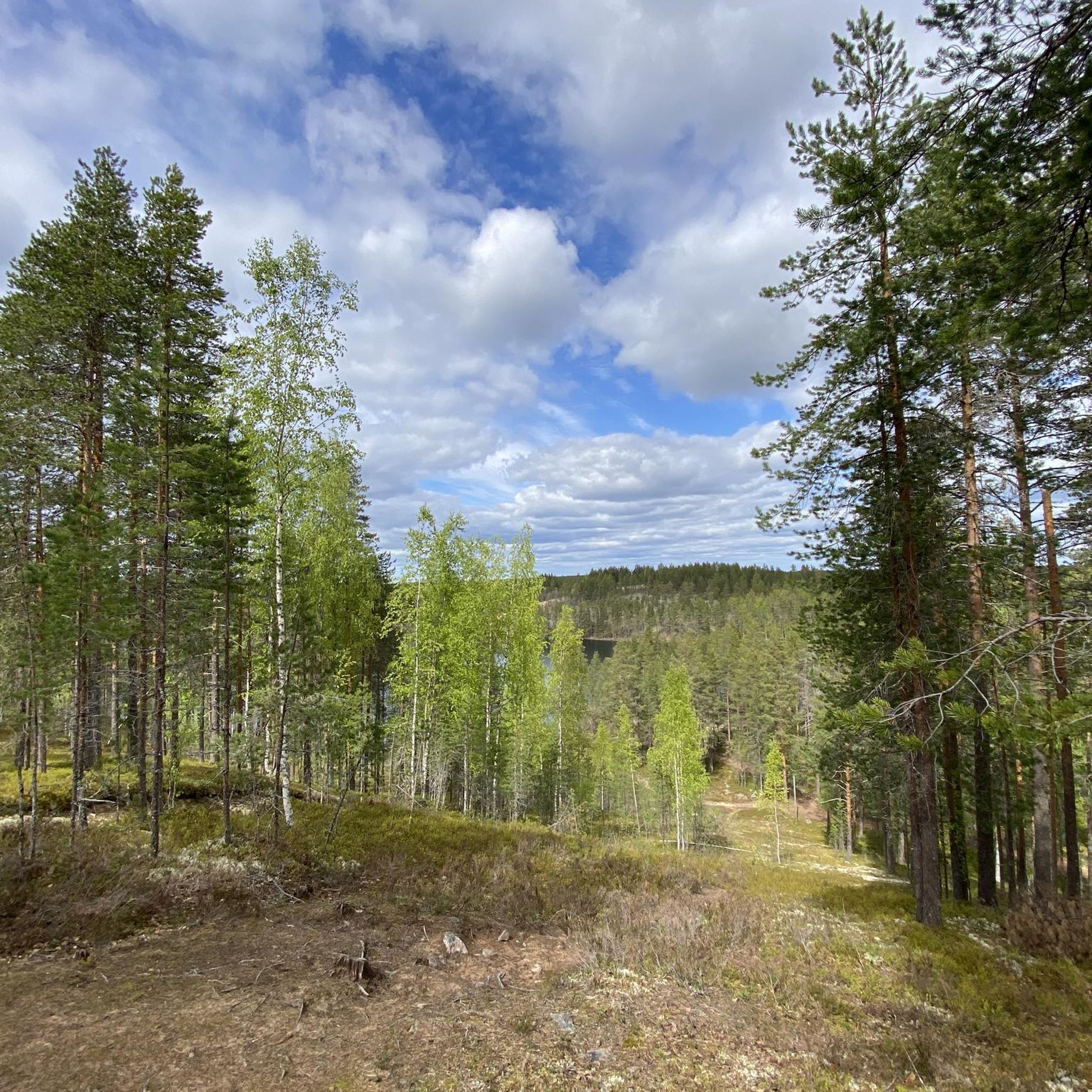
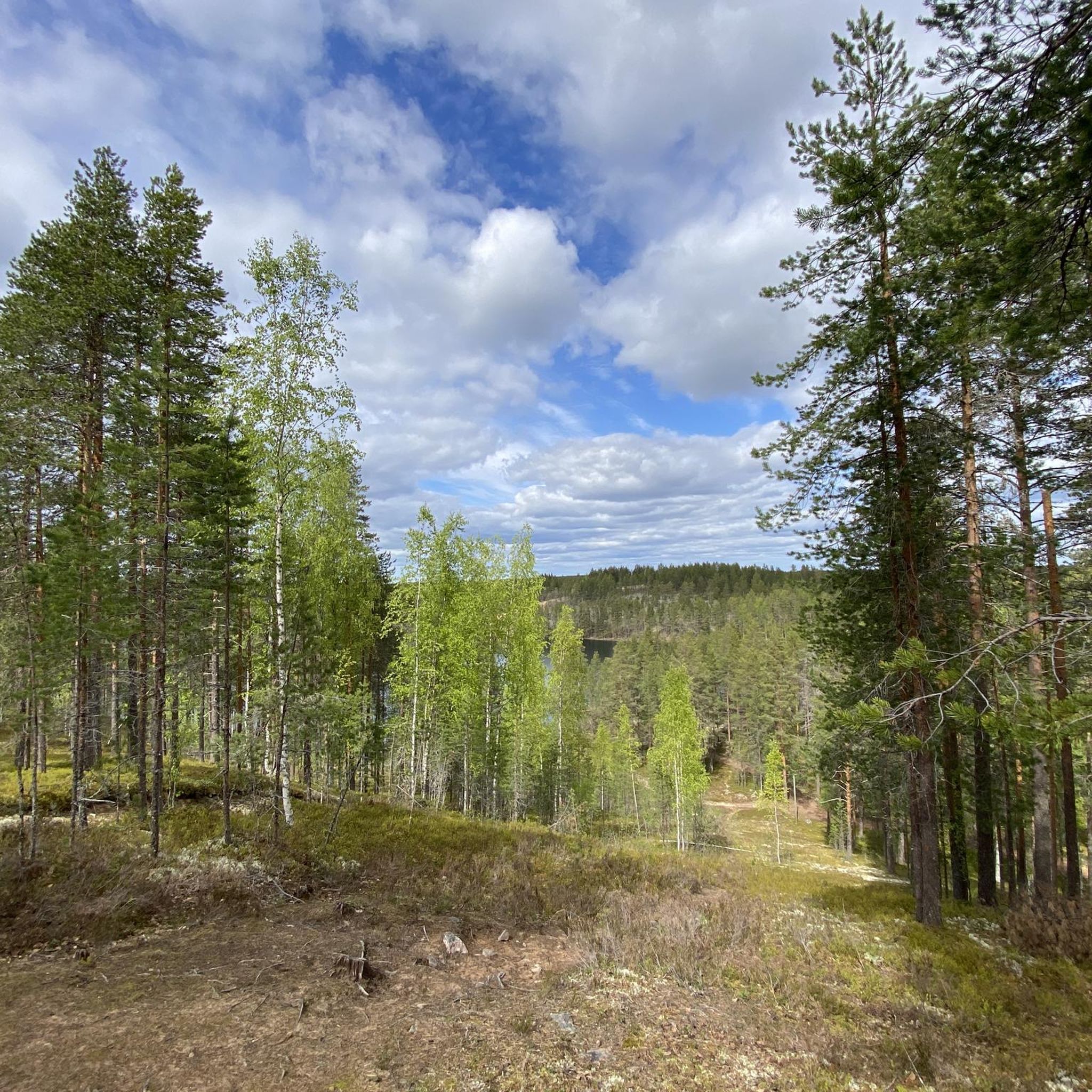
Pookivaara is a scenic hill in the Rokua Geopark, offering sweeping views over forests and eskers shaped by the Ice Age. At its summit stands a wooden fire watchtower, a sentinel of the wild, used in summer by fire wardens who scan the horizon for signs of smoke or wildfire.
0
0
Pitkäjärvi is a serene stretch of water nestled in the Finnish landscape, surrounded by dense pine and birch forests. Its calm surface mirrors the sky, offering a perfect escape for nature lovers seeking quiet. Close to this point, you can also find a small shelter to enjoy Finland’s wilderness.
0
0

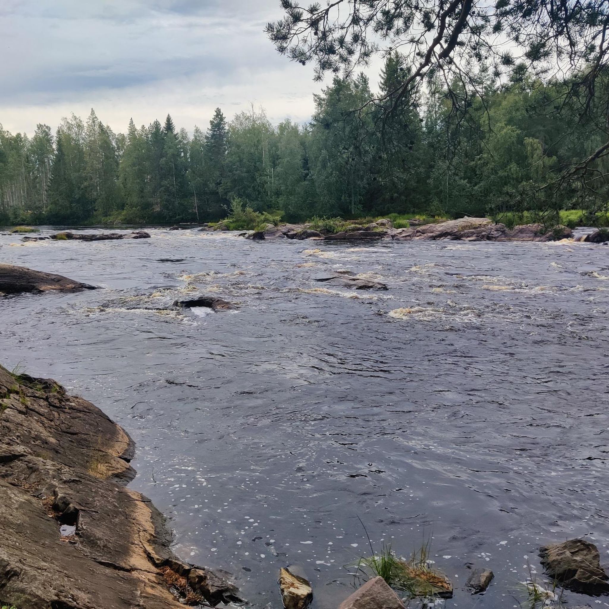
In this point, you'll be able to see both the Salminen and the Saarinen lakes. It's a very good spot in the Rokua National Park because there are a couple of facilities, even if they're not always open.
0
0

This unique environment showcases clear traces of the Ice Age with hills, esker ridges, and mystical moors. Parts of the marshland are equipped with wooden pathways that allow for safe hiking while offering fascinating insights into the untouched nature. Particularly recommended is the route along picturesque lakes, lined with shimmering lichens and ancient pine forests – a rare combination that makes the park so special.
0
0

A lake that can mirror the sky, as there were two. Enjoy the area near the lake as it feels very untouched. Lichens looking like corals were my personal highlight.
1
0

The fire watchtower is the seat of the fire watchmen in summer. During the day they watch the forest from above and look out for smoke or other signs of fire. The tower is not open to the public.
2
0
Really nice place for grilling sausages and Marshmallows. Offers a beautifully and peaceful view on the lake. So don’t forget them and have lighters with you.
0
0
Frequently Asked Questions
How many hiking trails are available in Utajärvi?
Utajärvi offers a diverse network of over 20 hiking trails, primarily within the Rokua UNESCO Global Geopark. These routes cater to various skill levels, with 6 easy, 15 moderate, and 1 difficult trail available for exploration.
What kind of terrain can I expect on hikes in Utajärvi?
The terrain in Utajärvi is largely shaped by the last Ice Age, featuring unique glacial formations, distinctive ridge terrain, and extensive lichen, pine, and birch forests. You'll also encounter serene lakes and marshy areas, providing varied and visually stunning landscapes.
Are there any easy or family-friendly hiking options in Utajärvi?
Yes, Utajärvi has several easy and family-friendly routes. A great option is the Harjunpolku Trail - Rokua National Park, an easy 2.8 km path that runs through the ridge terrain between Rokua Health & Spa and Lianjärvi, perfect for a leisurely walk with children.
Can I bring my dog on the hiking trails in Utajärvi?
Many trails in the Utajärvi region, especially within the Rokua Geopark, are dog-friendly. However, it's always recommended to keep your dog on a leash and check specific trail regulations, particularly within Rokua National Park, to ensure a pleasant experience for everyone and to protect local wildlife.
What are some notable natural features or landmarks to see while hiking?
Hikers in Utajärvi can discover a wealth of natural features and landmarks. The region is renowned for its unique glacial formations and lichen forests. You might encounter serene lakes like Kirvesjärvi Lake and Pitkäjärvi. While not open to the public, the Fire Lookout Tower in Rokua National Park is a significant landmark visible from some routes.
Are there any circular hiking routes in Utajärvi?
Yes, Utajärvi offers several excellent circular routes. The Pookinpaussi loop from Pelso is a moderate 7.4 km trail leading through picturesque Pitkäjärvi. Another great option is the By the lake – Pitkäjärvi Hut loop from Rokua national park, a moderate 10.6 km route that takes you past the Pitkäjärvi Hut.
What is the best time of year to go hiking in Utajärvi?
The best time for hiking in Utajärvi is typically from late spring through early autumn (May to September), when the weather is mild and the trails are clear. Autumn offers stunning fall foliage. Winter hiking is also possible, with trails suitable for snowshoeing and skiing, but requires appropriate gear and awareness of conditions.
Are there facilities like huts or places to rest along the trails?
Yes, the area provides amenities for hikers. For instance, along the By the lake – Pitkäjärvi Hut loop from Rokua national park, you'll find the Pitkäjärvi Hut, where you can light a fire, grill sausages, and even spend the night. These facilities enhance the hiking experience.
How do other hikers rate the trails in Utajärvi?
The hiking trails in Utajärvi are highly rated by the komoot community, with an average score of 4.7 stars from over 60 reviews. Reviewers often praise the unique glacial landscapes, the tranquility of the lichen forests, and the well-maintained trail network within the Rokua UNESCO Global Geopark.
Is public transport available to reach the hiking areas, or is parking common?
While specific public transport links directly to all trailheads might be limited, the Rokua Geopark area is generally accessible by car, and parking facilities are available at popular starting points for many trails. It's advisable to check local transport options or plan for car access when visiting.
What is the longest challenging hike available in Utajärvi?
For those seeking a significant challenge, the Emperor's Tour Trail - Rokua National Park is a difficult 20.2 km route. This trail showcases the most popular sights and highlights the beauty of Rokuanvaara, offering a rewarding experience for experienced hikers.
Are there any longer multi-day hiking opportunities in the region?
Yes, for multi-day adventures, the Terva Trail is a notable option. This versatile and challenging route spans 97.9 km, connecting Oulu's Sankivaara to Rokua National Park, traversing diverse landscapes including swamps, forests, fields, and bodies of water. It offers a comprehensive experience of the region's natural beauty.
Most popular routes around Utajärvi
Most popular attractions around Utajärvi

Get inspired with the komoot mobile app


Explore more
Browse the best Hikes in other regions.
