The best MTB trails around Ducey-Les-Chéris
4.3
(60)
448
riders
53
rides
Mountain biking around Ducey-Les-Chéris offers a network of routes through varied terrain. The region is characterized by rolling hills, river valleys, and a mix of agricultural land and woodlands. Many mountain bike trails follow the Sélune River, providing routes with moderate elevation changes. The landscape provides a suitable environment for both leisurely rides and more challenging mountain biking experiences.
Best mountain bike trails around Ducey-Les-Chéris
- The most popular mountain bike trail is Avenue near Pontorson – La Roche Torin loop…
Last updated: October 25, 2026
4.6
(5)
40
riders
65.2km
03:40
250m
250m
Moderate mountain bike ride. Good fitness required.
4.3
(9)
18
riders
44.8km
02:31
170m
170m
Moderate mountain bike ride. Good fitness required.

10
riders
49.2km
03:12
440m
440m
Moderate mountain bike ride. Good fitness required.
5.0
(1)
7
riders
29.1km
01:49
250m
250m
Moderate mountain bike ride. Advanced riding skills necessary.
4.0
(1)
13
riders
Hard mountain bike ride. Very good fitness required. Advanced riding skills necessary.
Get access to more routes and recommendations from other explorers.
Already have an account?
Our route recommendations are based on thousands of hikes, rides, and runs completed by other people on komoot.
Start today with a free account
Your next adventure awaits.


Other adventures around Ducey-Les-Chéris

Tips from the Community

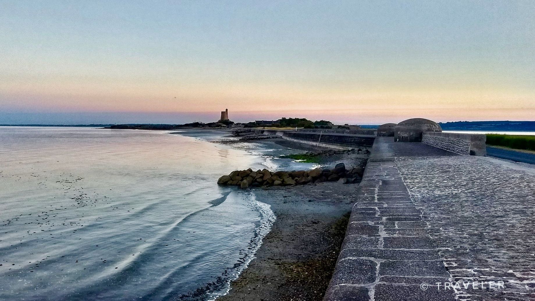
Mont-Saint-Michel is a world-famous rocky island and commune on the border between Normandy and Brittany in France. Crowned by a monumental, medieval Benedictine abbey, this architectural marvel has been a UNESCO World Heritage site since 1979. The bay of the mount is also known for Europe's strongest tides, with a tidal range of up to 14 meters.
2
0

The footpath along the Couesnon to the dam already offers an impressive view of Mont-Saint-Michel. From here, the path with an unobstructed view leads across the salt marshes and the bay, with the landmark of Normandy impressively rising against the wide landscape. Especially in calm weather and with changing light, atmospheric views emerge of Mont-Saint-Michel, the course of the Couesnon river, and the tide-shaped surroundings.
14
0
The Couesnon dam (Barrage du Couesnon) was completed in 2009 and is part of the measures to preserve the bay of Mont-Saint-Michel. The facility regulates the water flow of the Couesnon and supports the natural removal of sediments by the tides. This is intended to counteract the increasing silting up of the bay and preserve the special character of Mont-Saint-Michel as a tidal island. The dam also offers a popular viewpoint with a view of Mont-Saint-Michel and the surrounding salt marshes.
3
0
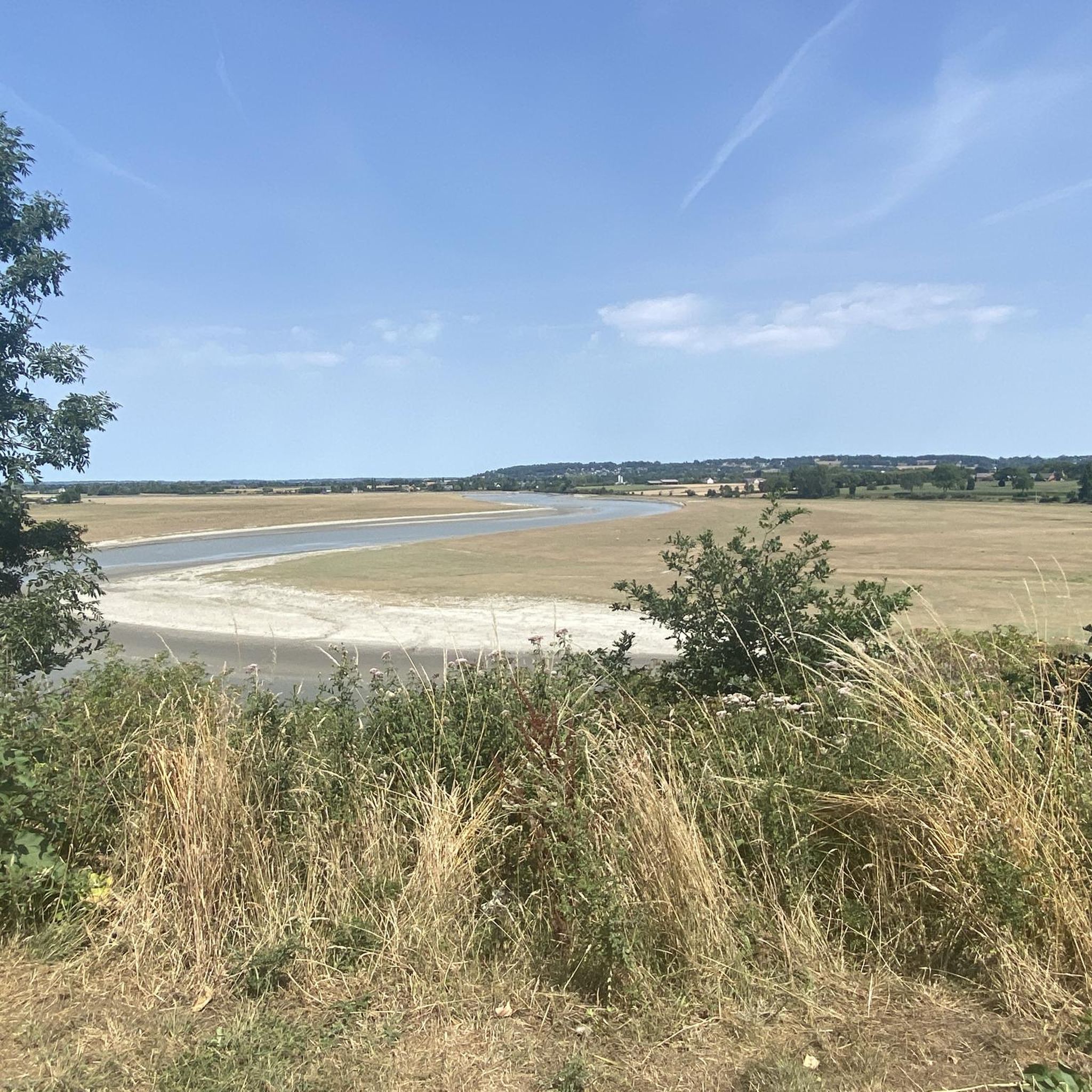
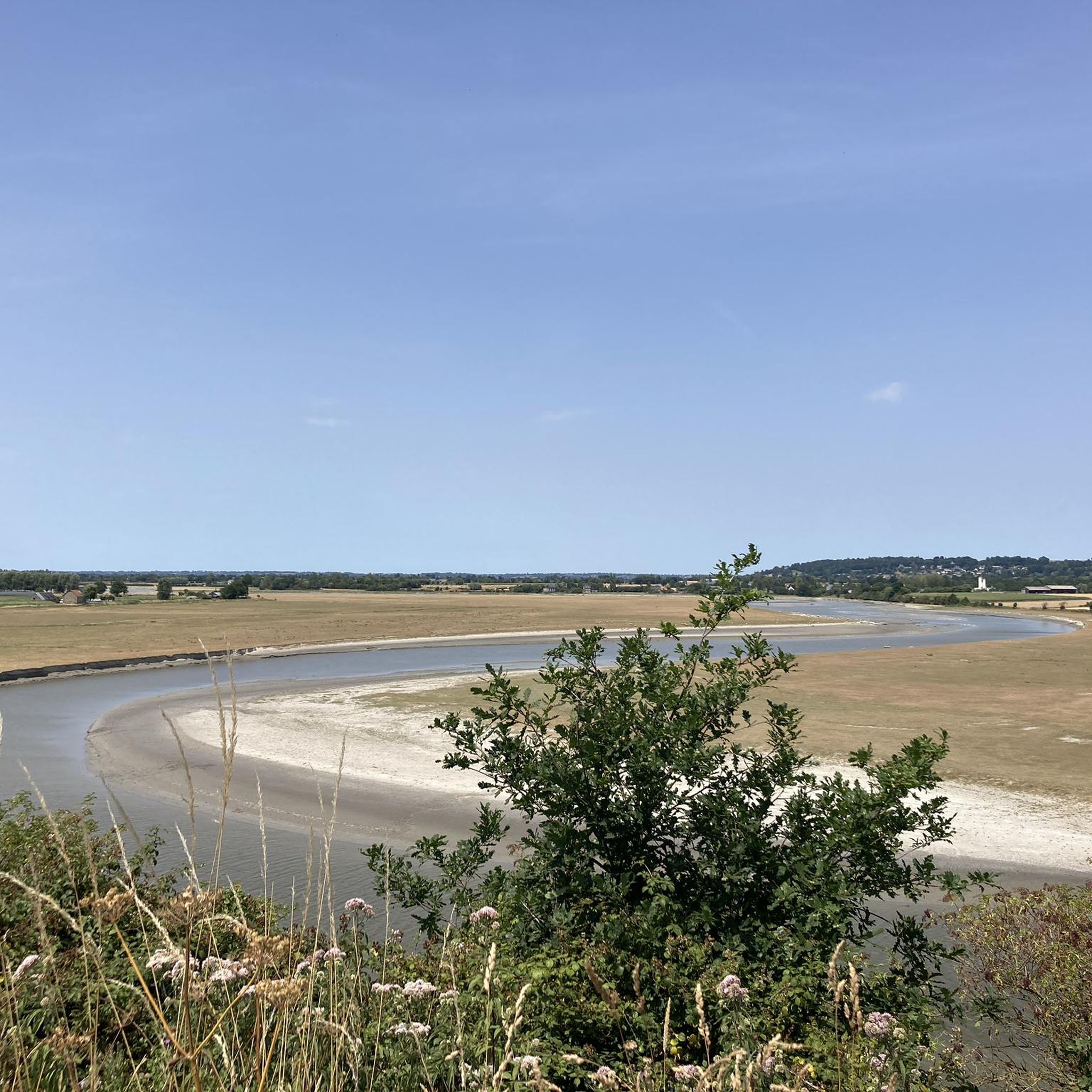
Numerous inlets criss-cross the meadows and channel seawater through the vast terrain at low and high tide. These small watercourses with their reflections and the wide grassy areas also form a popular photo spot and offer impressive motifs, especially with Mont-Saint-Michel in the background.
1
0
The salt marshes of the Bay of Mont-Saint-Michel shape the unique landscape of Normandy. Regular flooding with seawater creates a special vegetation that is perfectly adapted to the saline conditions. The famous salt marsh sheep (*Prés-salés*), whose meat acquires a special flavor due to their special diet, graze in these meadows. The vast areas are also a valuable habitat for numerous animal and plant species and offer an impressive view of Mont-Saint-Michel at low tide.
1
0

From there it looks the strongest !!!
2
0

If there's a remarkable site that's worth a detour, it's Mont St Michel!
2
0

During very high tides, your wheels may be in the water.
0
0
Frequently Asked Questions
How many mountain bike trails are available in Ducey-Les-Chéris?
There are 59 mountain bike trails recorded in Ducey-Les-Chéris on komoot. These routes offer a variety of experiences, from leisurely rides along river paths to more challenging routes through rolling countryside.
What are the difficulty levels of mountain bike trails in Ducey-Les-Chéris?
The trails in Ducey-Les-Chéris cater to various skill levels. You'll find 16 easy routes, 34 moderate routes, and 9 difficult routes, ensuring options for both beginners and experienced riders.
Are there family-friendly mountain bike trails in Ducey-Les-Chéris?
Yes, Ducey-Les-Chéris offers 16 easy mountain bike routes that are generally suitable for families. These trails often feature gentler terrain and less elevation, making them enjoyable for a wider range of riders.
What do other mountain bikers say about the trails in Ducey-Les-Chéris?
The mountain bike trails in Ducey-Les-Chéris are highly regarded by the komoot community, with an average rating of 4.3 stars from over 80 reviews. Riders often praise the varied terrain, scenic river sections, and the mix of agricultural land and woodlands.
Are there any long-distance mountain bike trails in the area?
For those seeking a longer ride, the Path Along the Sélune River – Belvedere loop from Saint-Quentin-sur-le-Homme is a challenging 140.2 km route. It features significant elevation changes and explores a vast area along the Sélune River.
Can I find circular mountain bike routes in Ducey-Les-Chéris?
Yes, many of the mountain bike routes in Ducey-Les-Chéris are circular, allowing you to start and finish at the same point. Examples include the Ducey – Pontaubault Bridge loop from Le Grand-Celland and the Mountainbike loop from Le Grand-Celland.
What kind of terrain can I expect on the mountain bike trails in Ducey-Les-Chéris?
The terrain around Ducey-Les-Chéris is characterized by rolling hills, river valleys, and a mix of agricultural land and woodlands. Many trails follow the Sélune River, offering routes with moderate elevation changes and a blend of open fields and wooded sections.
Are there any historical or natural attractions to see while mountain biking?
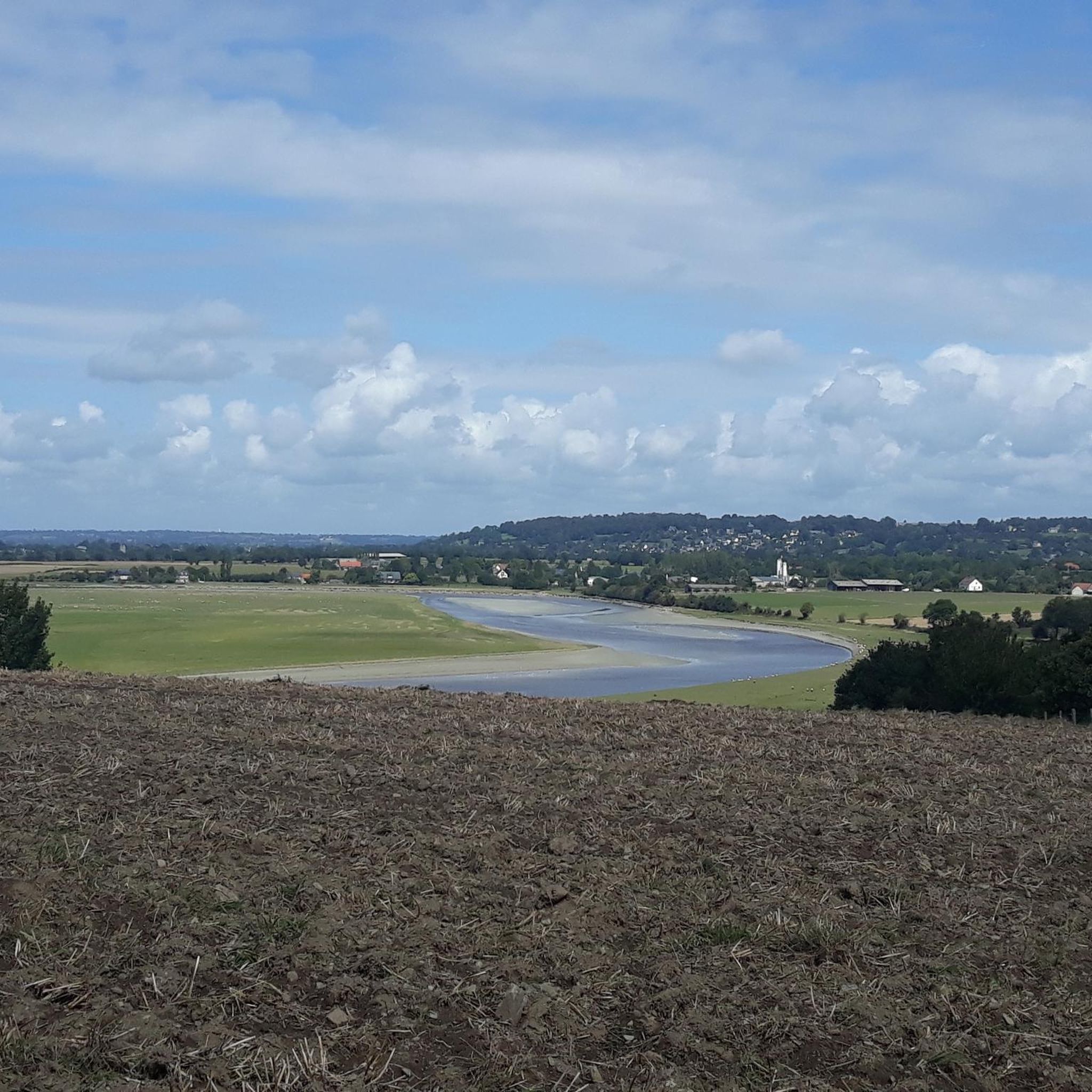
Yes, the region offers several points of interest. You can bike past the historic Pontaubault Bridge or enjoy views from La Roche Torin. The Banks of the Sélune at Pontaubault also offer scenic natural beauty.
What is the best time of year for mountain biking in Ducey-Les-Chéris?
Spring and autumn generally offer the most pleasant conditions for mountain biking in Ducey-Les-Chéris, with milder temperatures and beautiful scenery. Summer can also be enjoyable, though it's advisable to ride earlier in the morning or later in the afternoon to avoid the midday heat.
Are there challenging mountain bike trails for advanced riders?
Yes, there are 9 difficult mountain bike routes for advanced riders. The most challenging is the Path Along the Sélune River – Belvedere loop from Saint-Quentin-sur-le-Homme, which covers 140.2 km with significant elevation gains, providing a demanding experience.
Where can I find viewpoints along the mountain bike trails?
For panoramic views, consider routes that pass by La Roche Torin, a notable viewpoint in the area. Many trails also offer scenic vistas of the Sélune River valley and the surrounding countryside.
Most popular routes around Ducey-Les-Chéris
Most popular attractions around Ducey-Les-Chéris

Get inspired with the komoot mobile app


Explore more
Browse the best MTB trails in other regions.
