The best cycling routes around Ducey-Les-Chéris
4.7
(143)
1,246
riders
22
rides
Touring cycling around Ducey-Les-Chéris is characterized by its location along the Sélune River and proximity to the bay, offering varied terrain. The area features an extensive network of greenways and dedicated cycle paths, including sections winding through picturesque salt marshes. Cyclists encounter a mix of gentle hills and wooded areas, such as the Bois d'Ardennes, providing diverse riding experiences.
Best touring cycling routes around Ducey-Les-Chéris
- The most popular touring cycling route is Pontaubault Bridge – View of Mont Saint-Michel loop…
Last updated: October 28, 2026
4.6
(8)
61
riders
40.1km
02:34
170m
170m
Moderate bike ride. Good fitness required. Mostly paved surfaces.
4.5
(19)
146
riders
39.4km
02:31
220m
220m
Moderate bike ride. Good fitness required. Mostly paved surfaces.

4.8
(12)
77
riders
Moderate bike ride. Good fitness required. Mostly paved surfaces.
4.6
(10)
52
riders
43.4km
02:55
150m
150m
Hard bike ride. Good fitness required. You may need to push your bike for some segments of this route.
4.3
(9)
48
riders
56.7km
03:19
240m
240m
Moderate bike ride. Good fitness required. Mostly paved surfaces.
Get access to more routes and recommendations from other explorers.
Already have an account?
Our route recommendations are based on thousands of hikes, rides, and runs completed by other people on komoot.
Start today with a free account
Your next adventure awaits.
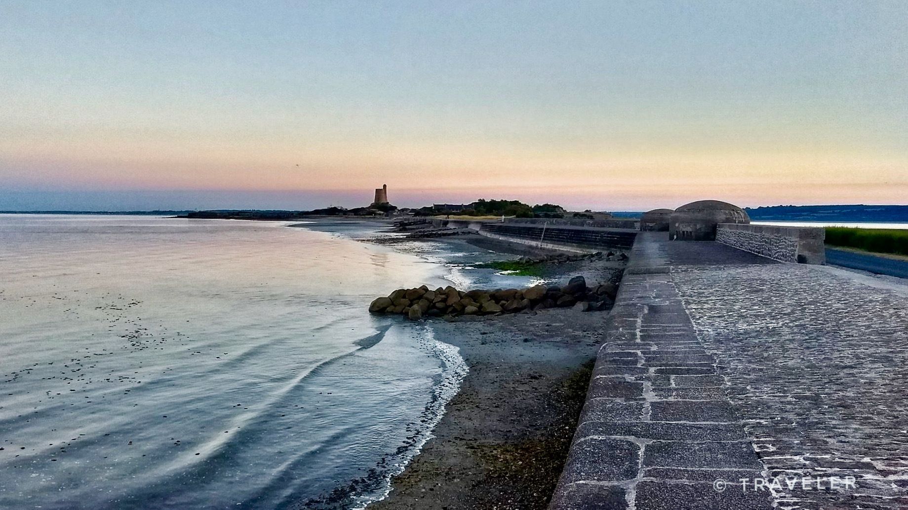
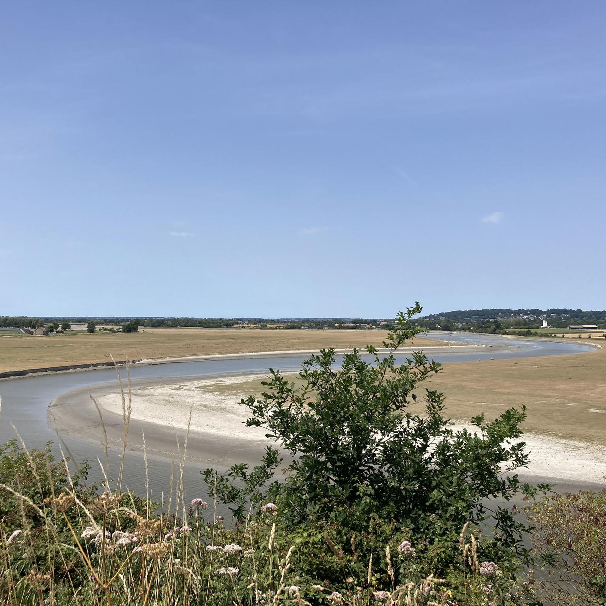

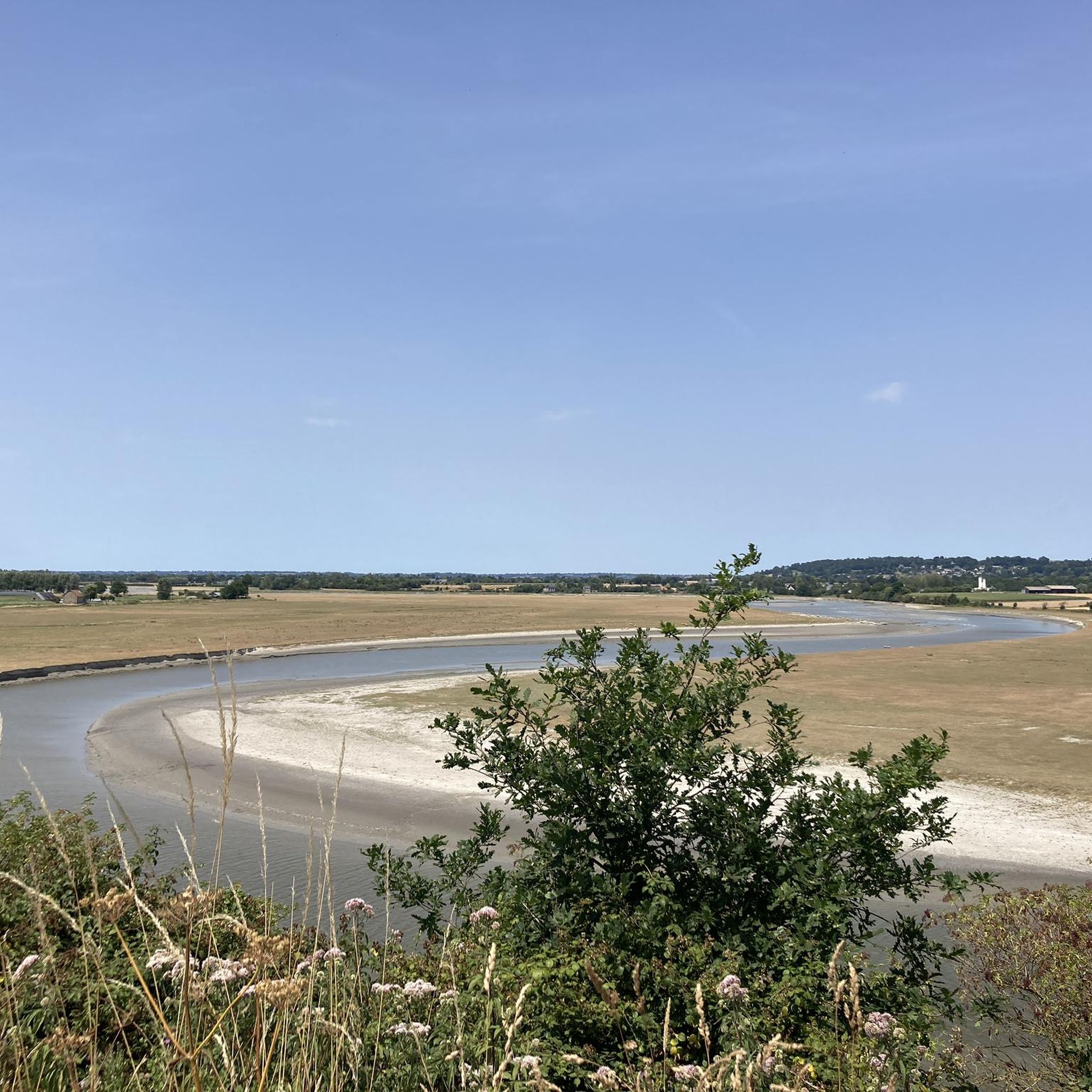
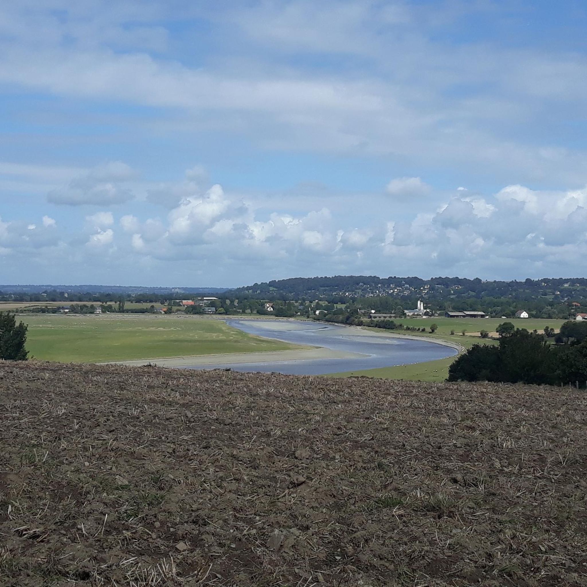

Other adventures around Ducey-Les-Chéris

Tips from the Community

Mont-Saint-Michel is a world-famous rocky island and commune on the border between Normandy and Brittany in France. Crowned by a monumental, medieval Benedictine abbey, this architectural marvel has been a UNESCO World Heritage site since 1979. The bay of the mount is also known for Europe's strongest tides, with a tidal range of up to 14 meters.
2
0

The footpath along the Couesnon to the dam already offers an impressive view of Mont-Saint-Michel. From here, the path with an unobstructed view leads across the salt marshes and the bay, with the landmark of Normandy impressively rising against the wide landscape. Especially in calm weather and with changing light, atmospheric views emerge of Mont-Saint-Michel, the course of the Couesnon river, and the tide-shaped surroundings.
14
0
The Couesnon dam (Barrage du Couesnon) was completed in 2009 and is part of the measures to preserve the bay of Mont-Saint-Michel. The facility regulates the water flow of the Couesnon and supports the natural removal of sediments by the tides. This is intended to counteract the increasing silting up of the bay and preserve the special character of Mont-Saint-Michel as a tidal island. The dam also offers a popular viewpoint with a view of Mont-Saint-Michel and the surrounding salt marshes.
3
0

From there it looks the strongest !!!
2
0

Lovely route, first along the coast on good cycle paths, then after the large car park via all sorts of narrow roads and villages back to the campsite in Ceaux.
0
0

If there's a remarkable site that's worth a detour, it's Mont St Michel!
2
0

During very high tides, your wheels may be in the water.
0
0
The Grouin du Sud is a natural headland offering impressive views of the bay and the famous Klosterberg. Depending on the tide, the landscape alternates between vast mudflats and ocean views, making the place particularly charming.
1
0
Frequently Asked Questions
How many touring cycling routes are available around Ducey-Les-Chéris?
There are over 25 touring cycling routes recorded around Ducey-Les-Chéris on komoot, catering to various skill levels. These include 11 easy, 8 moderate, and 6 difficult routes, ensuring options for every cyclist.
Are there any easy touring cycling routes suitable for beginners or families?
Yes, Ducey-Les-Chéris offers several easy touring cycling routes perfect for beginners or families. One excellent option is the Beautiful photo motif – Voie verte de la Véloscénie loop from Marcilly, which is a 9.5-mile (15.2 km) trail with minimal elevation, making it very accessible.
What kind of terrain can I expect on touring cycling routes in Ducey-Les-Chéris?
The terrain around Ducey-Les-Chéris is quite varied, offering a mix of experiences. You'll find extensive greenways and dedicated cycle paths, including sections winding through picturesque salt marshes with stunning views. The area also features gentle hills and wooded areas like the Bois d'Ardennes, providing diverse riding experiences along riverside paths and expansive salt meadows.
Are there any circular touring cycling routes in the area?
Yes, many routes around Ducey-Les-Chéris are designed as loops. For example, the popular Pontaubault Bridge – View of Mont Saint-Michel loop from Ducey-les-Chéris is a moderate 27.3-mile (43.9 km) circular route offering views of Mont Saint-Michel. Another great option is the Pointe de la Roche and marais de la Sélune — loop from Ducey, which follows the Sélune River and traverses salt marshes.
What historical or natural attractions can I see along the touring cycling routes?
Ducey-Les-Chéris is rich in attractions. Many routes offer glimpses of the iconic Mont Saint-Michel. You can also cycle past the historic Pontaubault Bridge, or explore the banks of the Sélune River. The impressive 17th-century Montgommery Castle is also located at the village's entrance.
Is Ducey-Les-Chéris part of any major long-distance cycling routes?
Yes, Ducey-Les-Chéris is a crucial stop-off point on the Véloscénie, the renowned cycle route connecting Paris to Mont-Saint-Michel. This makes it an ideal location for cyclists undertaking longer journeys, offering a restful setting before reaching Mont Saint-Michel.
Are there any routes that offer views of Mont Saint-Michel?
Absolutely! Many routes around Ducey-Les-Chéris provide stunning views of Mont Saint-Michel. A notable option is the View of Mont Saint-Michel – beautiful new cycle path loop from Ducey-les-Chéris, a 53.9-mile (86.8 km) trail that specifically highlights these scenic vistas. Another is the View of Mont Saint-Michel – Chapelle Sainte-Anne loop from Ducey-les-Chéris.
What is the best time of year for touring cycling in Ducey-Les-Chéris?
Ducey-Les-Chéris is celebrated for its abundant green spaces and floral displays throughout the year, earning it the '3-flower town' designation. While cycling is enjoyable for much of the year, spring and early autumn typically offer the most pleasant weather conditions for touring, with comfortable temperatures and vibrant landscapes.
What do other touring cyclists enjoy most about cycling in Ducey-Les-Chéris?
The area is highly rated by the komoot community, with an average score of 4.6 stars from over 200 reviews. Reviewers often praise the varied terrain, including riverside paths along the Sélune and expansive salt meadows, as well as the well-maintained greenways and dedicated cycle paths. The stunning views of Mont Saint-Michel are also frequently highlighted.
Are there accommodations or facilities for cyclists in Ducey-Les-Chéris?
Yes, Ducey-Les-Chéris is recognized as a 'Village Étape' (Stopover Village), indicating its welcoming nature for travelers. Some local accommodations provide private bike storage, and restaurants are easily accessible within the town center, making it convenient for touring cyclists.
Are there any routes that follow the Sélune River?
Yes, the Sélune River is a prominent natural feature in the area, and several routes incorporate its banks. The Pointe de la Roche and marais de la Sélune — loop from Ducey is a great example, following the river and traversing its salt marshes, offering tranquil riverside views.
How long do touring cycling routes typically take to complete?
The duration of routes varies significantly based on distance and difficulty. For instance, an easy route like the Beautiful photo motif – Voie verte de la Véloscénie loop from Marcilly can be completed in under 1 hour. Moderate routes, such as the Pontaubault Bridge – View of Mont Saint-Michel loop from Ducey-les-Chéris, typically take around 2 hours 45 minutes, while more difficult and longer routes can take 5 hours or more.
Most popular routes around Ducey-Les-Chéris
Most popular attractions around Ducey-Les-Chéris

Get inspired with the komoot mobile app


Explore more
Browse the best Cycling routes in other regions.
