The best MTB trails around Le Poizat-Lalleyriat
4.4
(261)
1,554
riders
137
rides
Mountain biking around Le Poizat-Lalleyriat offers a diverse landscape characterized by communal forests, varied terrain, and proximity to lakes. The region features a mix of singletracks, wider paths, and some road sections, providing a range of riding experiences. Riders can explore accessible trails that wind through natural settings, including passages through dense woodlands. This blend of natural features makes Le Poizat-Lalleyriat a compelling destination for outdoor activities.
Best mountain bike trails around Le Poizat-Lalleyriat
- The most popular mountain bike trail…
Last updated: October 28, 2026
4.6
(33)
177
riders
30.4km
02:56
640m
650m
Moderate mountain bike ride. Good fitness required.
4.5
(6)
55
riders
51.2km
04:40
1,020m
1,020m
Hard mountain bike ride. Very good fitness required.

4.0
(4)
22
riders
33.9km
02:59
640m
640m
Moderate mountain bike ride. Good fitness required. Advanced riding skills necessary.
4.5
(2)
13
riders
10.7km
00:59
160m
160m
Easy mountain bike ride.
10
riders
101km
08:32
1,990m
1,990m
Hard mountain bike ride. Very good fitness required. Advanced riding skills necessary.
Get access to more routes and recommendations from other explorers.
Already have an account?
Our route recommendations are based on thousands of hikes, rides, and runs completed by other people on komoot.
Start today with a free account
Your next adventure awaits.
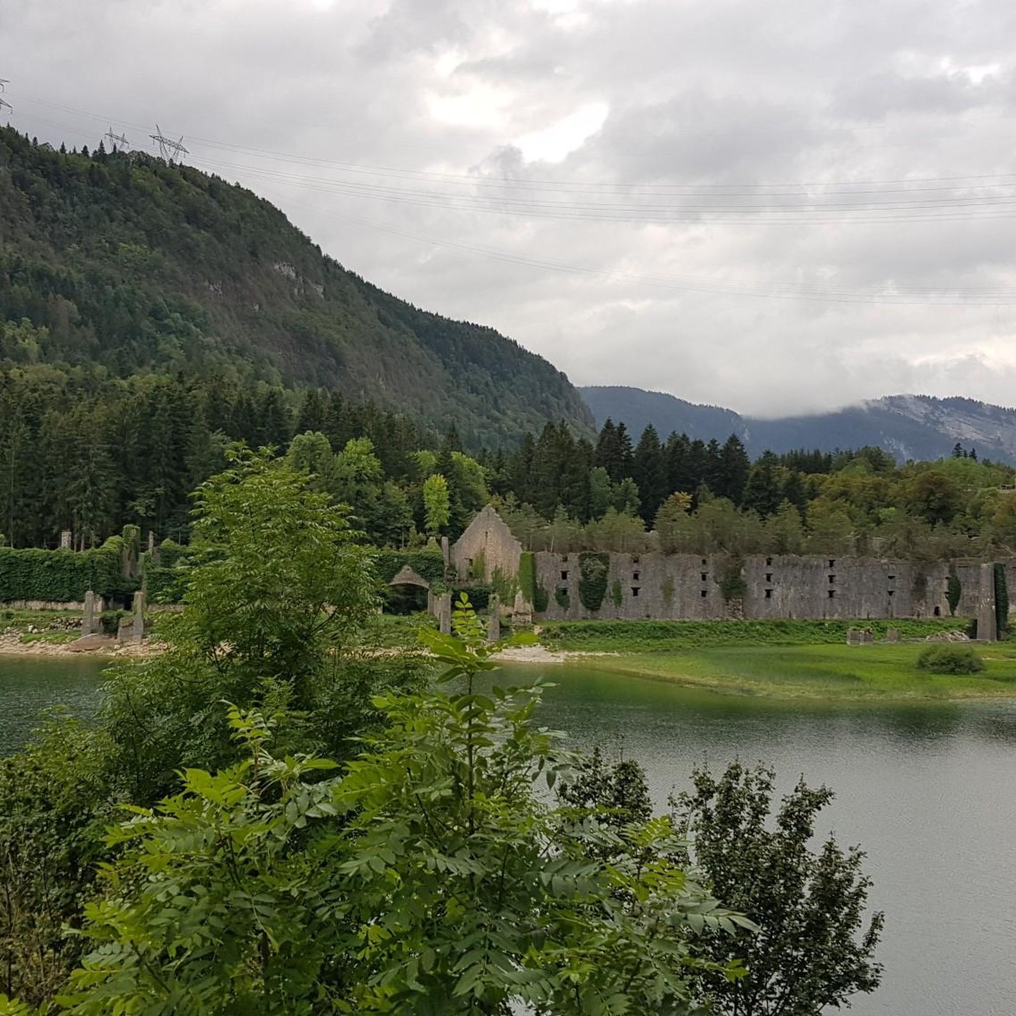

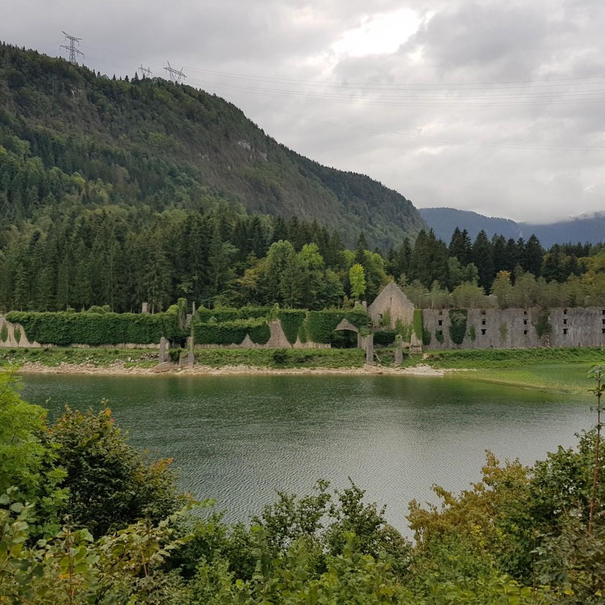
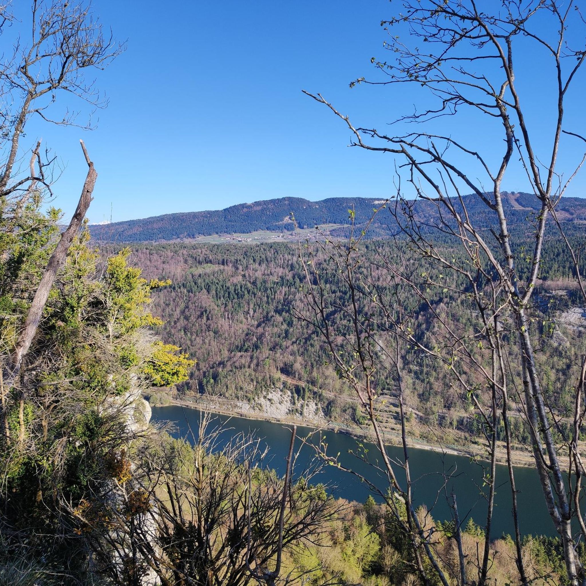
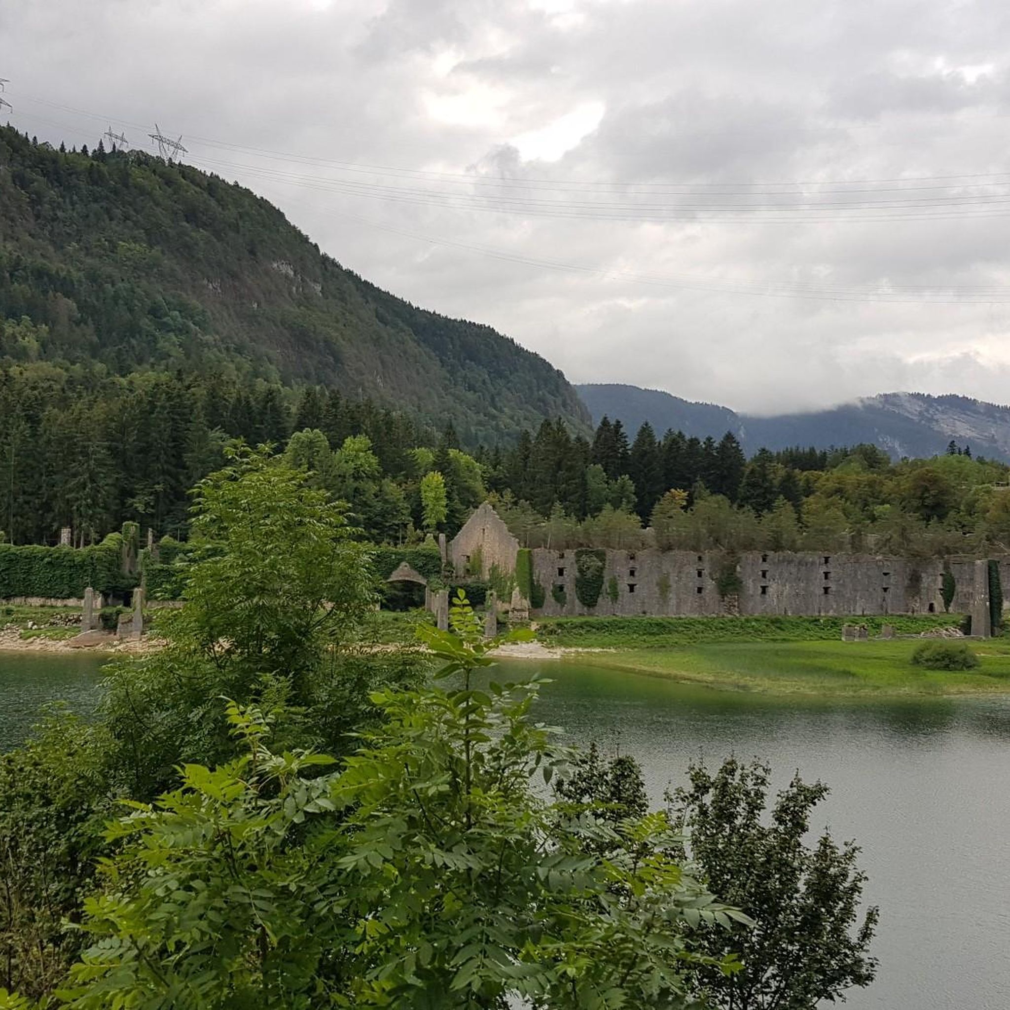
Tips from the Community

The Retord farm, located on the plateau of the same name, allows you to discover local products and offers a pleasant stop in a relaxing natural setting.
1
0
Located in Saint-Germain-de-Joux, the Marmites de Géant (Giant's Cauldrons) were carved by the Semine river and its tributary the Combet. Gigantic cylindrical hollows, two to three meters deep, are connected by a few successive waterfalls.
0
0

A 10 km climb from the small roundabout in Châtillon, it's more like 14 km from the Nantua road or the center of Bellegarde. The gradient is fairly steady, ranging from 5.5% to 7.2%, with about ten small steep sections at +8.5%. Very quiet, with very few cars. The road is generally in good condition, but nothing more. There are some beautiful views along the way.
1
1

Extraordinary panorama, ideal place for a break on the GTJ route, a picnic or even a stopover in a gîte (booking: https://refugelaconay.clubalpinbourgenbresse.fr/reservation/)
0
0

The Col de Bérentin connects the Valserine Valley to the Retord Plateau, passing through the beautiful Jura forests. Its ascent is gradual and the road is little traveled.
0
0


This human-sized resort offers many activities available all year round. It is the starting point for VTT, Gravel and hiking circuits. It also has a biathlon stadium usable in summer and winter, unique in the Ain. Ideal for exploring the Jura massif.
0
0
Stele paying tribute to the Resistance fighters who took to the Maquis on the Plateau de Retord during the Second World War. Several information panels on the history of the Resistance fighters near the various farms occupied at the time.
0
0
Frequently Asked Questions
How many mountain bike trails are available around Le Poizat-Lalleyriat?
There are over 130 mountain bike trails to explore around Le Poizat-Lalleyriat, offering a wide range of options for all skill levels.
Are there mountain bike trails suitable for families or beginners in Le Poizat-Lalleyriat?
Yes, Le Poizat-Lalleyriat has 20 easy mountain bike trails perfect for families and beginners. An excellent option is the Cuvéry Pass – Plateau de Retord loop from Ochiaz, which is an easy 7.9 km route featuring gentle paths through pleasant scenery.
What kind of terrain can I expect on the mountain bike trails in Le Poizat-Lalleyriat?
The trails in Le Poizat-Lalleyriat offer diverse terrain, including singletracks, wider paths, and some road sections. You'll often find yourself riding through communal forests and near lakes, providing a varied and engaging experience.
Are there any circular mountain bike routes in the area?
Yes, many routes in Le Poizat-Lalleyriat are circular. For example, the moderate View of Lake Nantua loop from Le Poizat offers scenic views and varied forest terrain over 18.5 km.
What natural features or landmarks can I see while mountain biking in Le Poizat-Lalleyriat?
The region is rich in natural beauty. You can encounter several lakes, such as Lake Nantua and Lake Genin, along with various mountain passes like Cuvéry Pass. Many trails also wind through the scenic communal forests.
Are there any longer or more challenging mountain bike routes for experienced riders?
Absolutely. For experienced riders, there are 45 difficult trails. A challenging option is the Cuvéry Pass – Plateau de Retord loop from Saint-Germain-de-Joux, a 64.5 km route leading through extensive forest and plateau landscapes.
What do other mountain bikers say about the trails in Le Poizat-Lalleyriat?
The mountain bike routes in Le Poizat-Lalleyriat are highly rated by the komoot community, with an average score of 4.4 stars from over 140 reviews. Riders often praise the diverse terrain, the beautiful forest passages, and the well-maintained paths.
Are there mountain bike routes that pass by lakes?
Yes, several routes offer views of or pass directly by lakes. The View of Lake Nantua loop from Le Poizat is a great example, providing stunning vistas of Lake Nantua.
Can I find mountain bike trails that explore the communal forest?
Many mountain bike trails in Le Poizat-Lalleyriat traverse the communal forest, offering shaded paths and an immersive natural experience. These forest passages are a defining characteristic of the region's riding.
Are there any moderate mountain bike trails in the area?
Yes, Le Poizat-Lalleyriat features 67 moderate mountain bike trails. The Lake Genin – Lake Genin loop from Charix is a popular moderate route, covering 27.3 km with significant elevation changes.
What is the best time of year for mountain biking in Le Poizat-Lalleyriat?
The diverse terrain and natural features of Le Poizat-Lalleyriat make it suitable for mountain biking across multiple seasons. While specific seasonal conditions vary, the region's forests and lakes offer pleasant riding experiences from spring through autumn.
Most popular routes around Le Poizat-Lalleyriat
Most popular attractions around Le Poizat-Lalleyriat

Get inspired with the komoot mobile app


Explore more
Browse the best MTB trails in other regions.
