The best MTB trails around Guillemont
4.5
(16)
164
riders
19
rides
Mountain bike trails around Guillemont, located in the Somme department of France, traverse a landscape with a modest altitude range, typically between 94m and 156m above sea level. This area provides varied terrain suitable for two-wheeled exploration, characterized by its natural setting. The region's gentle elevation changes offer opportunities for different levels of mountain biking.
Best mountain bike trails around Guillemont
- The most popular mountain bike trail is Freeride downhill mountain biking – Belvedere of Vaux/Somme loop from Montauban-de-Picardie,…
Last updated: June 29, 2026
4.0
(4)
35
riders
47.1km
03:35
520m
520m
Hard mountain bike ride. Good fitness required. Advanced riding skills necessary. Some portions of the route may require you to push your bike.
4.6
(9)
17
riders
Hard mountain bike ride. Great for any fitness level. Advanced riding skills necessary. Some portions of the route may require you to push your bike.

Sign up for free
3.8
(5)
20
riders
25.4km
01:33
150m
150m
Easy mountain bike ride. Great for any fitness level. Suitable for all skill levels.
5.0
(1)
16
riders
57.7km
04:31
620m
620m
Hard mountain bike ride. Good fitness required. Advanced riding skills necessary. Some portions of the route may require you to push your bike.
18
riders
57.9km
04:30
590m
590m
Moderate mountain bike ride. Good fitness required. Suitable for all skill levels.
Get access to more routes and recommendations from other explorers.
Sign up for free
Already have an account?
Our route recommendations are based on thousands of hikes, rides, and runs completed by other people on komoot.
Start today with a free account
Your next adventure awaits.
Login or Signup

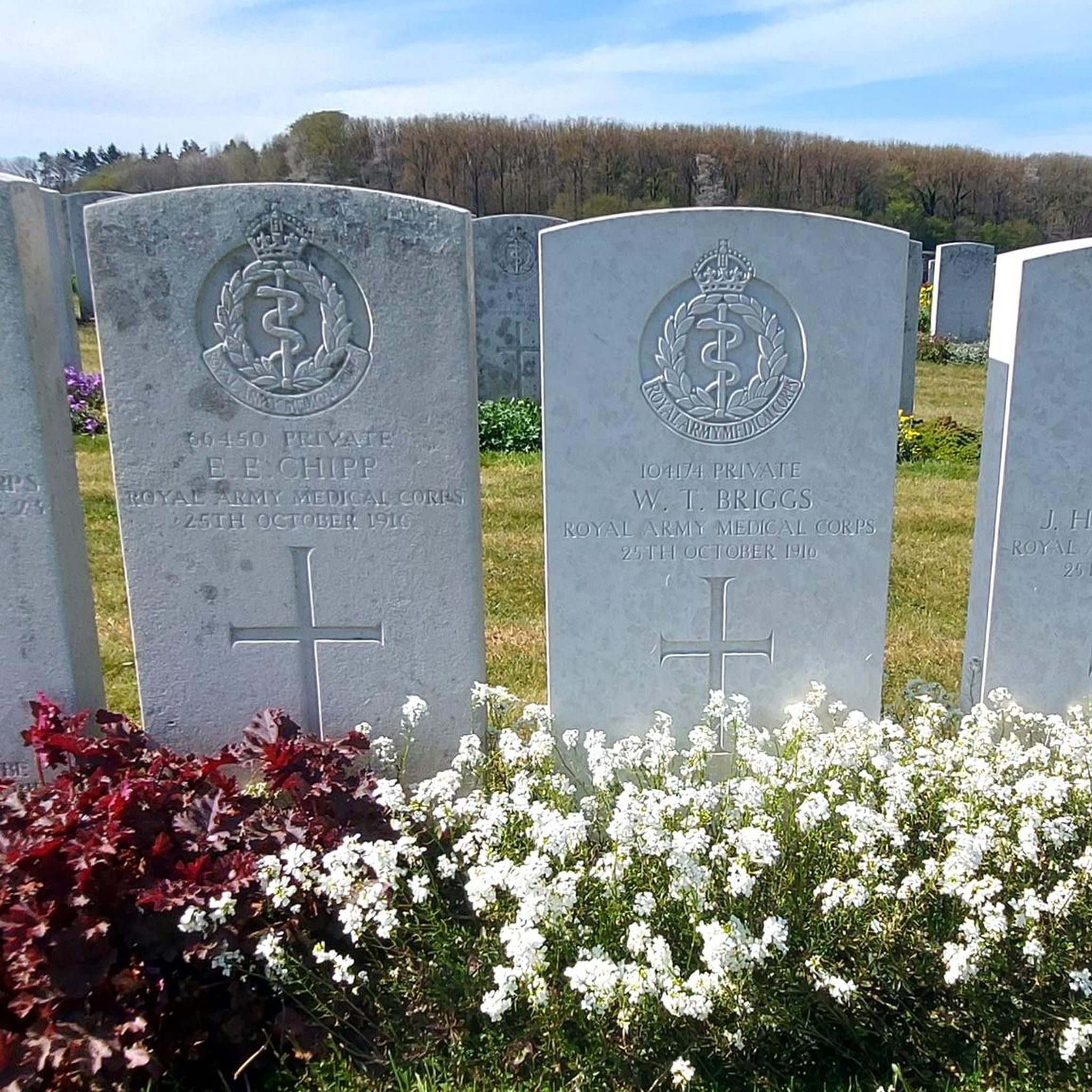

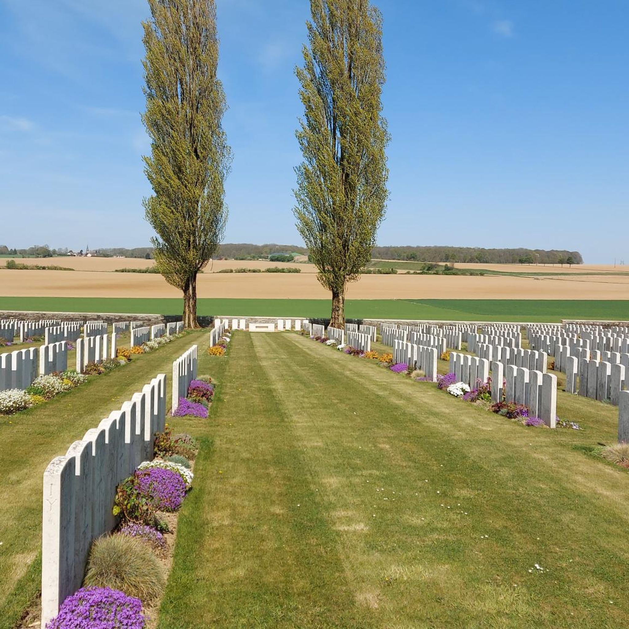
Tips from the Community

The castle served for centuries as a meeting place for the regional nobility and thinkers.
10
0
There are several locks near Frise, all with fish ladders.
15
0

There are several small locks with benches to view them well
3
0

In addition to the exceptional viewpoint, the landscape interpretation table allows you to better understand the environment that unfolds before you.
0
0

Magnificent viewpoint overlooking the Somme Valley. The climb is quite steep to get there from Péronne.
0
0
Also a bicycle repair and electric bike charging point
0
0

magnificent view
0
0

The Nymphe d'Aveluy is a historical monument in Aveluy, France, commemorating the artwork created by French soldiers during World War I. During periods of rest between battles, soldiers created sculptures and engravings, including the famous "Nymphe d'Aveluy". These works were often photographed and sent to their families on postcards.
1
0
Frequently Asked Questions
How many mountain bike trails are available around Guillemont?
There are over 20 mountain bike trails in the Guillemont area, offering a variety of options for different skill levels. You'll find 4 easy routes, 8 moderate routes, and 8 difficult routes to explore.
Are there any easy or beginner-friendly mountain bike trails near Guillemont?
Yes, Guillemont offers 4 easy mountain bike routes suitable for beginners or those looking for a more relaxed ride. The region's modest altitude range and gentle elevation changes make it accessible for various skill levels.
Can I find circular mountain bike routes in Guillemont?
Many of the mountain bike trails around Guillemont are designed as loops, allowing you to start and finish at the same point. For example, the Aveluy nymph – Ulster Tower loop from Longueval is a moderate 44.5 km circular route.
What kind of terrain can I expect on mountain bike trails in Guillemont?
The mountain bike trails in Guillemont traverse a varied landscape with modest elevation changes, typically between 94m and 156m above sea level. You can expect a mix of natural settings, offering diverse terrain suitable for two-wheeled exploration without extreme climbs.
Are there any scenic viewpoints or landmarks along the mountain bike trails?
Yes, several trails pass by significant historical sites and viewpoints. You might encounter the Lochnagar Crater, the Frise Viewpoint, or the Thiepval Memorial. The Frise Lock – Frise Viewpoint loop from Feuillères specifically includes a viewpoint.
What do other mountain bikers say about the trails in Guillemont?
The mountain bike trails in Guillemont are highly rated by the komoot community, with an average score of 4.6 stars from over 30 reviews. Mountain bikers often praise the varied terrain and the opportunities for exploration in this natural setting.
Are there any long-distance mountain bike routes available?
Yes, Guillemont offers several longer routes for those seeking extended rides. For instance, the Froissy Station Museum – Eclusier- vaux loop from Carnoy-Mametz is a challenging 58.4 km path, and the Beaumont-Hamel trails – aveluy nymph loop from Carnoy-Mametz covers 57.9 km.
Is there public transport access to the mountain bike trails in Guillemont?
While specific public transport links directly to trailheads are not detailed, Guillemont is a municipality in the Somme department of France. For detailed information on public transport options to reach the area, it is advisable to check local transport authority websites for bus or train schedules connecting to Guillemont or nearby towns.
Are there mountain bike trails suitable for advanced riders?
Yes, for experienced mountain bikers, there are 8 difficult routes available. The Freeride downhill mountain biking – Belvedere of Vaux/Somme loop from Montauban-de-Picardie, for example, is a difficult 46.1 km trail featuring significant elevation gain.
What is the best time of year to go mountain biking in Guillemont?
The region's climate generally supports cycling activities. While specific seasonal recommendations are not provided, the varied terrain and natural settings are enjoyable in most seasons. It's always a good idea to check local weather forecasts before heading out, especially during winter months for potential trail conditions.
Are there any mountain bike trails that pass by the Canal de la Somme?
Yes, the Canal de la Somme Cycle Path is a notable feature in the area, offering opportunities for cycling. While not exclusively mountain bike trails, some routes or sections may run parallel or connect to this path, providing scenic views along the canal.
Most popular attractions around Guillemont

Get inspired with the komoot mobile app


Explore more
Browse the best MTB trails in other regions.
