The best running trails around Udler
4.4
(746)
3,579
runners
208
runs
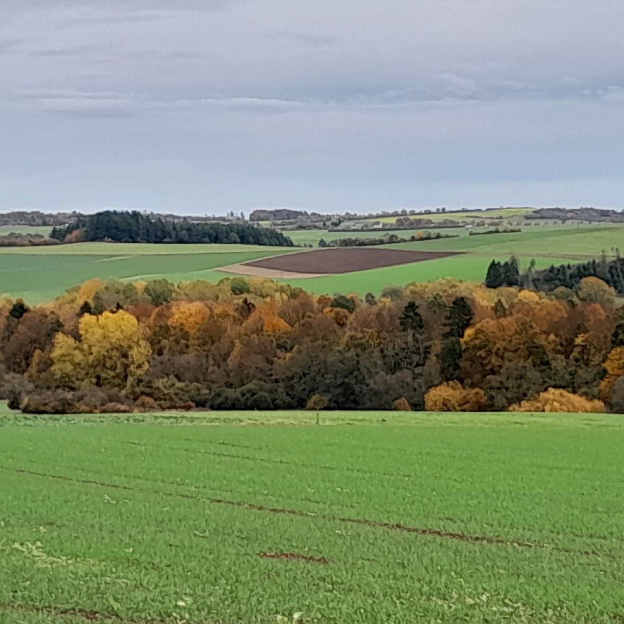
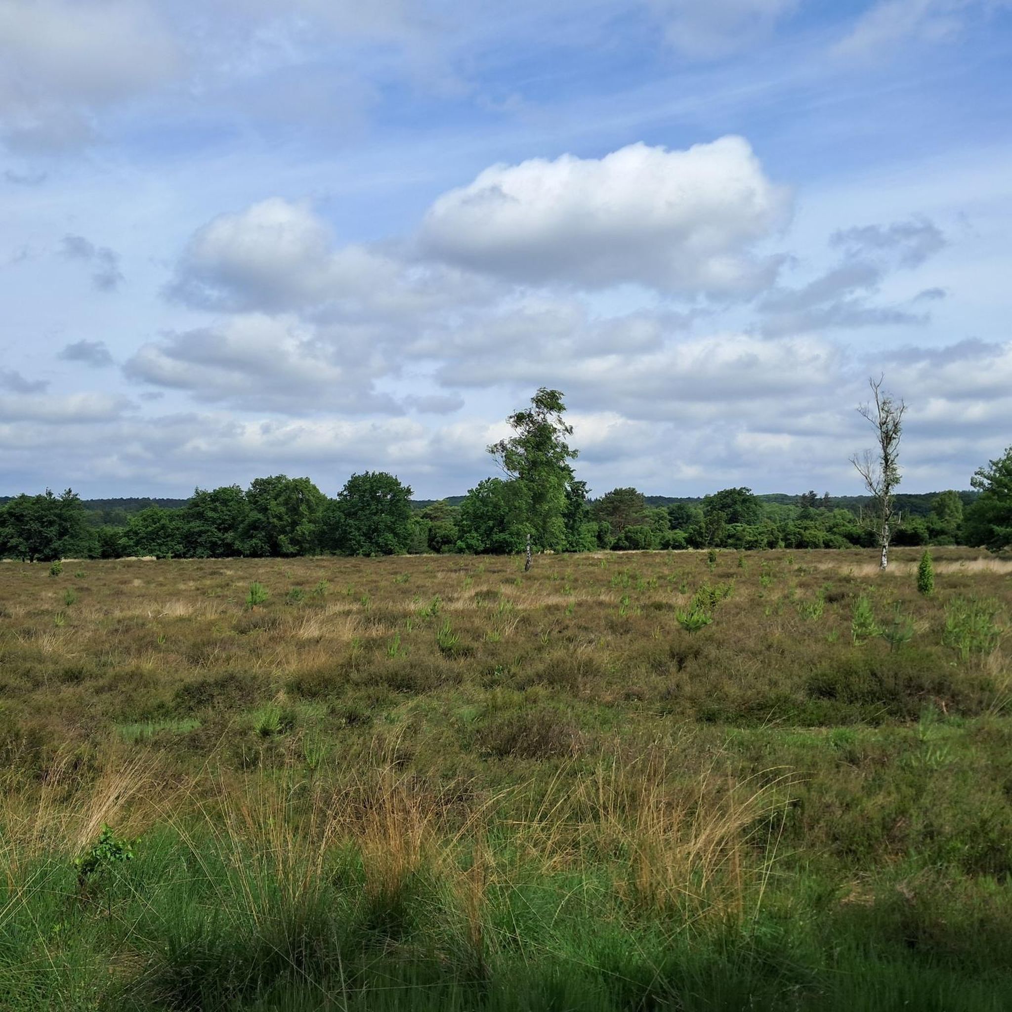
Jogging routes around Udler traverse a landscape characterized by volcanic maars, gentle hills, and winding stream valleys. The region offers a mix of open fields, dense woodlands, and tranquil waterside paths. These natural features provide varied terrain for running, from flat stretches to moderate ascents, shaped by ancient volcanic activity.
Best jogging routes around Udler
- The most popular jogging route is Lower Alfbach, Ellscheid loop from Gillenfeld, a 3.3 miles (5.3 km) trail that takes 34 minutes to complete.…
Last updated: June 26, 2026
4.6
(11)
101
runners
11.4km
01:12
120m
120m
Moderate run. Good fitness required. Mostly paved surfaces. Suitable for all skill levels.
3.8
(5)
51
runners
11.0km
01:10
110m
110m
Moderate run. Good fitness required. Mostly paved surfaces. Suitable for all skill levels.

Sign up for free
36
runners
13.0km
01:21
90m
90m
Moderate run. Good fitness required. Mostly paved surfaces. Suitable for all skill levels.
5.0
(1)
8
runners
5.26km
00:34
70m
70m
Moderate run. Good fitness required. Mostly paved surfaces. Suitable for all skill levels.
3.0
(1)
8
runners
9.43km
00:59
100m
100m
Moderate run. Good fitness required. Mostly paved surfaces. Suitable for all skill levels.
Get access to more routes and recommendations from other explorers.
Sign up for free
Already have an account?
Our route recommendations are based on thousands of hikes, rides, and runs completed by other people on komoot.
Start today with a free account
Your next adventure awaits.
Login or Signup

Tips from the Community

What a great tunnel, over 500m Video on Instagram "biketime1979"
0
0

A very well-maintained tunnel. A highlight for the kids.
0
0

Information on the Mürmes nature reserve can be found at NABU: https://www.nabu-daun.de/wir-sichern-fl%C3%A4chen/nsg-m%C3%BCrmes/ or at: https://ellscheid-vulkaneifel.de/408/tourismus/muermes
1
0

Very good surface, pleasantly shady in summer
0
0

"Old Station" Schalkenmehren Passenger service between Daun and Wittlich was discontinued on November 1, 1981. Schalkenmehren. Approaching the Old Station in Schalkenmehren on the former railway line, today's Maare-Mosel cycle path, and seeing the station building, it's hard to believe that it was opened as a fourth-class railway station exactly 100 years ago. But how did it all begin 100 years ago? Surveying for the Daun-Wittlich railway line began as early as 1897. General preparatory work for the single-track line began in 1907. But it would take some time before the Daun-Schalkenmehren-Gillenfeld section opened on December 1, 1909, with the line running over the 28-meter-high Daun viaduct and through the 560-meter-long Schalkenmehren railway tunnel, "Großes Schlitzohr" (Great Sly Fox). The extension from Gillenfeld to Manderscheid to Pantenburg was completed on May 1, 1910, and the extension from Manderscheid-Pantenburg to Wittlich, signifying the completion of the entire line, was completed on July 1, 1910. The completion of the Daun-Wittlich railway line brought rapid development to the village of Schalkenmehren. In the first year of the line's existence (1910), 18,968 tickets were sold in Schalkenmehren, followed by 25,057 in 1913, 27,969 in 1919, and even 30,279 in 1922. In addition, Schalkenmehren station was designed for general cargo traffic and the receipt and dispatch of wagonloads. Text / Source: www.volksfreund.de/ https://www.volksfreund.de/region/vulkaneifel/ein-schmuckstueck-fuer-nostalgiker_aid-5712448
13
0

Beautiful illuminated bicycle tunnel with good bicycle path
1
0

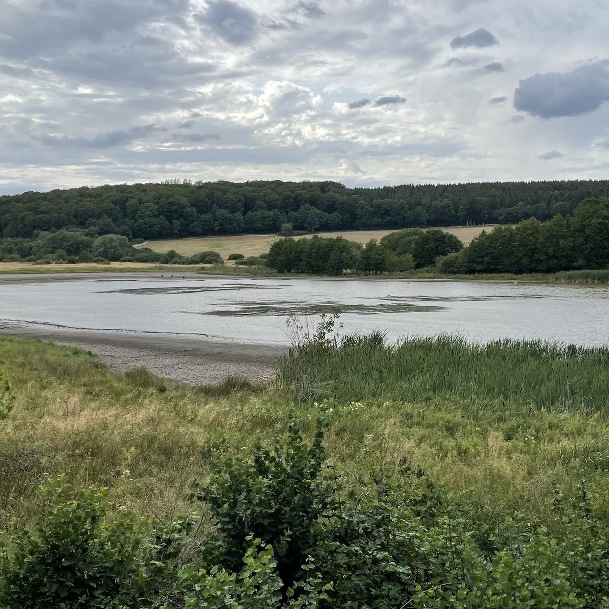
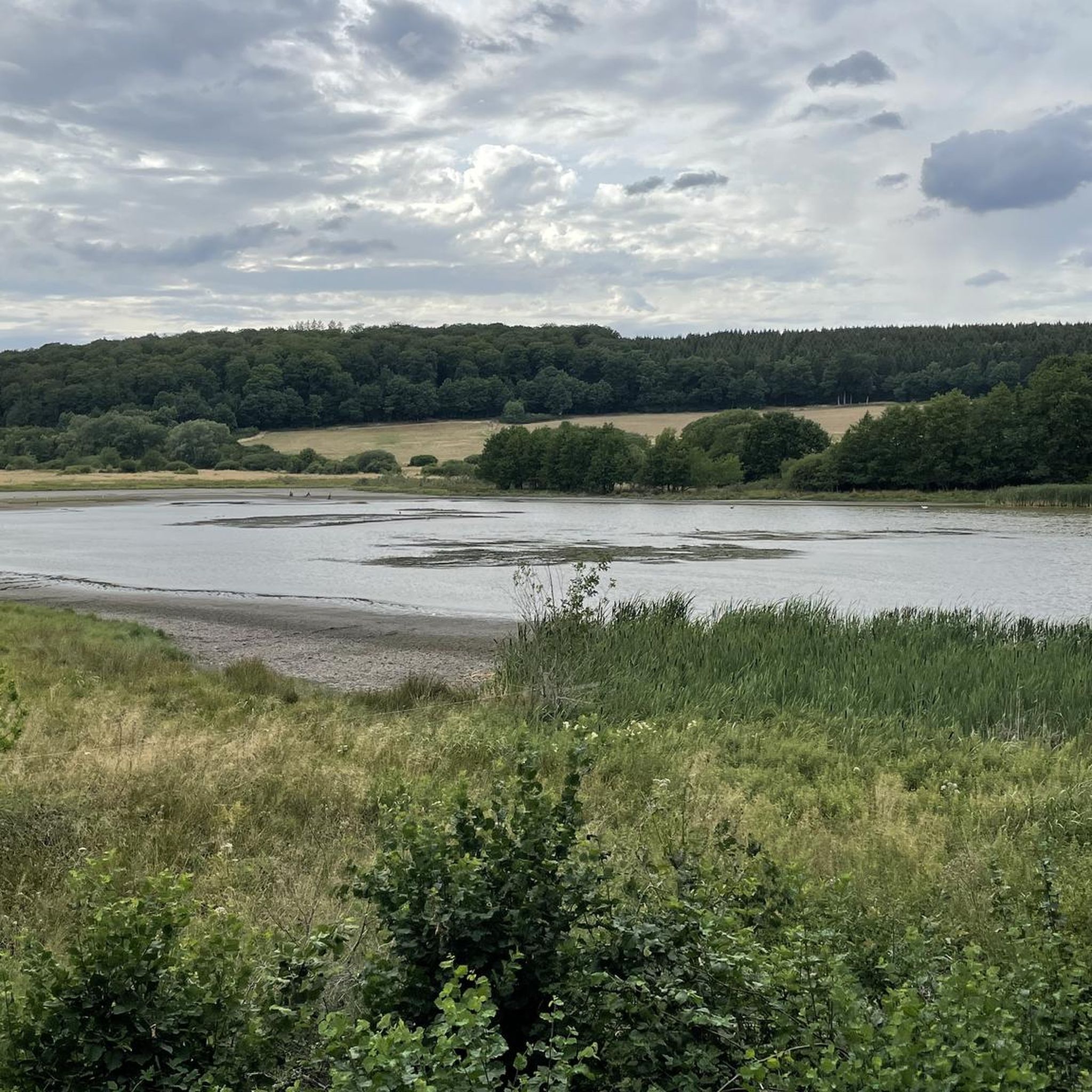
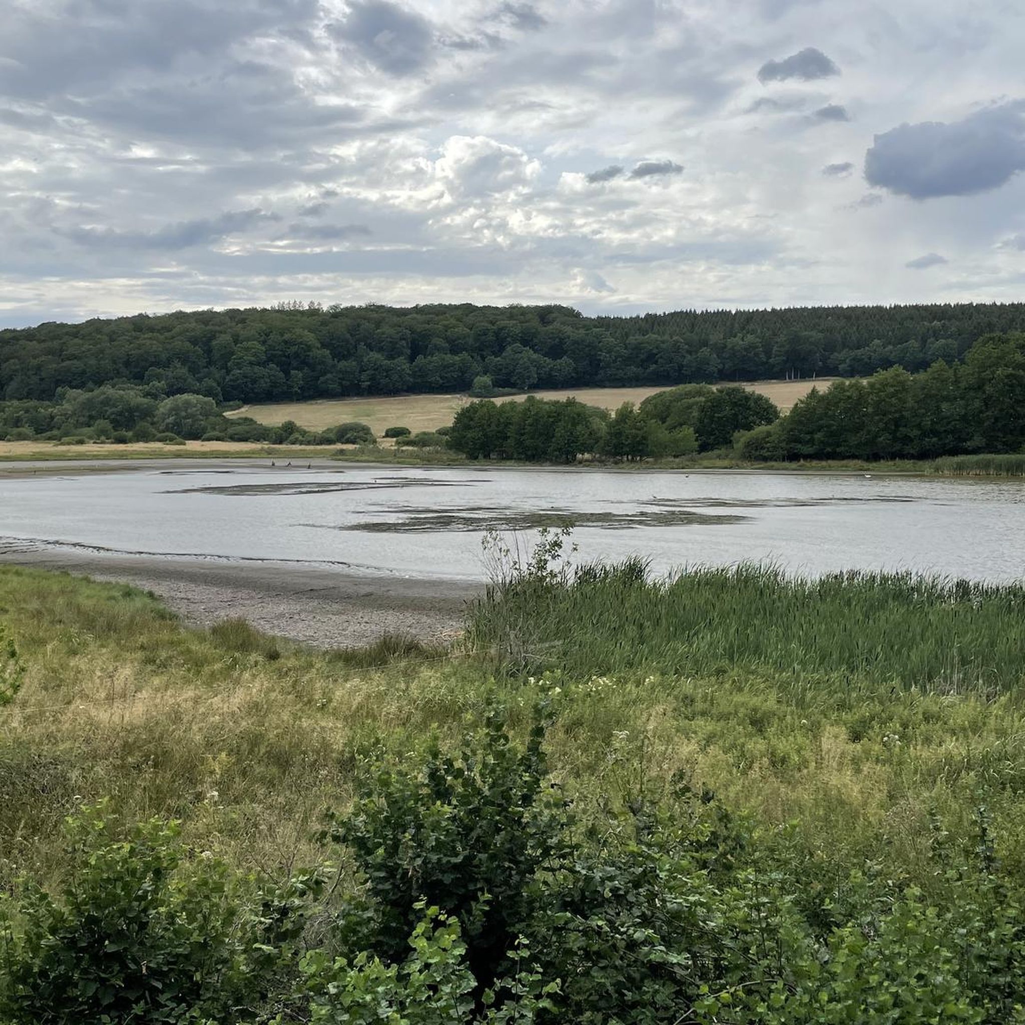
From the hills around the Schalkenmehrener Maar you have different views of the village and the almost circular water surface. One view is more beautiful than the other. Sometimes you see the St. Martin Church reflected in the water, or you can see a dry maar or the adjacent maar with fen.
2
0

The Maare-Mosel cycle path is a real highlight for cycling enthusiasts! With its impressive viaducts and old railway tunnels, it combines nature and history in a unique way. The route leads through picturesque landscapes of the Volcanic Eifel and offers spectacular views time and again. The tunnels create a special atmosphere and are pleasantly cool in summer. A cycle path that guarantees variety and cycling fun - ideal for an unforgettable tour through this beautiful region!
0
0
Frequently Asked Questions
What kind of landscape can I expect on running trails around Udler?
The running trails around Udler traverse a diverse landscape shaped by volcanic activity. You'll find a mix of volcanic maars, gentle hills, and winding stream valleys. The routes often lead through open fields, dense woodlands, and along tranquil waterside paths, offering varied terrain from flat stretches to moderate ascents.
How many running routes are available in the Udler region?
There are over 220 running routes available around Udler, catering to various preferences and fitness levels. This includes 26 easy routes, 158 moderate routes, and 36 more challenging options.
Are there any easy running routes suitable for beginners in Udler?
Yes, Udler offers 26 easy running routes perfect for beginners or those looking for a relaxed jog. These trails typically feature less elevation gain and smoother paths. While specific easy routes aren't detailed here, you can explore the full selection on komoot to find one that suits your needs.
What do other runners say about the trails in Udler?
The running routes in Udler are highly rated by the komoot community, with an average score of 4.4 stars from over 690 reviews. More than 3500 runners have used komoot to explore Udler's varied terrain, often praising the scenic beauty and well-maintained paths.
Are there any circular running routes around Udler?
Yes, many of the running routes around Udler are circular, offering convenient loop options. For example, the Lower Alfbach, Ellscheid – Mürmesbach Moor loop from Ellscheid is a popular 7.1-mile (11.4 km) moderate loop through varied landscapes. Another great option is the View of the Schalkenmehrener Maar – Schalkenmehrener Maar loop from Udler, which is 6.8 miles (11.0 km) and offers views of the volcanic maar.
Can I find running routes with scenic viewpoints in Udler?
Absolutely! The Udler region, with its volcanic landscape, offers several scenic viewpoints. You can find routes that pass by highlights such as the Dronke Tower on the Mäuseberg or offer a View of the Gemünden maar. These spots provide excellent opportunities to pause and enjoy the natural beauty.
Are there any running trails that go past lakes or maars in Udler?
Yes, Udler is known for its volcanic maars and lakes. The View of Sangweiher loop from Udler is a 7.2-mile (11.6 km) trail that leads around the Sangweiher lake. You can also find routes with views of the Schalkenmehrener Maar and the Weinfelder Maar (Totenmaar).
What are some notable attractions or landmarks near the running routes?
Beyond the natural beauty, the Udler area is also home to historical sites. You might encounter routes near the Manderscheid Upper Castle or the Manderscheid Lower Castle, offering a glimpse into the region's past while you run.
Are the running routes in Udler suitable for families?
While specific 'family-friendly' designations aren't provided for all routes, the presence of 26 easy routes suggests there are plenty of options suitable for families with children who enjoy outdoor activities. Look for shorter, less challenging loops with minimal elevation gain.
Can I bring my dog on the running trails in Udler?
Generally, many outdoor trails in natural areas are dog-friendly, especially if your dog is well-behaved and kept on a leash. However, it's always best to check local regulations or specific route details on komoot for any restrictions, particularly in nature reserves or protected areas.
What is the typical length and duration of running routes in Udler?
The running routes in Udler vary in length. For instance, the popular Lower Alfbach, Ellscheid – Mürmesbach Moor loop from Ellscheid is 7.1 miles (11.4 km) and takes about 1 hour 12 minutes. Shorter options like the Lower Alfbach, Ellscheid loop from Gillenfeld are around 3.3 miles (5.3 km) and can be completed in about 34 minutes.
Are there any running routes starting from Gillenfeld?
Yes, there are several running routes accessible from Gillenfeld. For example, the Lower Alfbach, Ellscheid loop from Gillenfeld is a moderate 3.3-mile (5.3 km) route. Another option is the Running loop from Gillenfeld, which is a moderate 5.5-mile (8.8 km) trail.
Most popular attractions around Udler

Get inspired with the komoot mobile app


Explore more
Browse the best Running Trails & Routes in other regions.
