The best running trails around Osternienburger Land
4.6
(287)
3,463
runners
339
runs
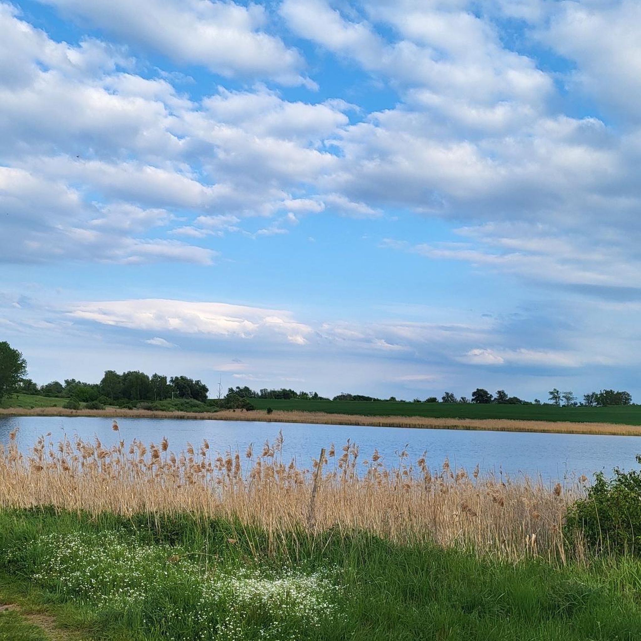
Jogging around Osternienburger Land offers diverse natural landscapes and accessible trails, making it an appealing destination for outdoor enthusiasts. The region is characterized by rolling hills and forests, providing a scenic backdrop for various activities. Numerous lakes, such as the Muldestausee and Goitzschesee, add to the natural beauty, while the Wulfener Bruch nature reserve features free-grazing Heck cattle and horses. This rural environment ensures ample space for extended and relaxing hours spent in nature.
Best jogging routes around Osternienburger Land
…Last updated: July 10, 2026
4.0
(1)
18
runners
Moderate run. Good fitness required. Mostly paved surfaces. Suitable for all skill levels.
4.8
(4)
12
runners
Moderate run. Good fitness required. Mostly paved surfaces. Suitable for all skill levels.

Sign up for free
4.5
(2)
7
runners
Moderate run. Good fitness required. Mostly paved surfaces. Suitable for all skill levels.
5
runners
Moderate run. Good fitness required. Mostly paved surfaces. Suitable for all skill levels.
5
runners
6.54km
00:41
20m
20m
Moderate run. Good fitness required. Mostly paved surfaces. Suitable for all skill levels.
Get access to more routes and recommendations from other explorers.
Sign up for free
Already have an account?
Our route recommendations are based on thousands of hikes, rides, and runs completed by other people on komoot.
Start today with a free account
Your next adventure awaits.
Login or Signup
Other adventures around Osternienburger Land

Tips from the Community

Beginner friendly
0
0

The moated castle is now a retirement home. The adjacent castle park is in poor condition.
0
0

The oldest part of the church is its Romanesque tower base, made of sandstone and porphyry boulders, which was adorned with two tower tops modeled on English cathedrals during the historicist reconstruction. The towers are topped by two pyramidal roofs, crowned by a stylized three-leaf clover. The church is one of the first German neo-Gothic churches. The church's floor plan is rectangular with a five-eighths end in the east. On the south side are two pointed-arch portals, one of which was added in the third quarter of the 19th century. The windows in the nave, which measures 18 × 7 meters, were enlarged with pointed arches in the 18th and 19th centuries.[3][5] The inventory includes an organ by Adolph Zuberbier from 1828, an altar made of sandstone and porphyry, created in 1844, and a neo-Gothic collegiate chair.[3] The church has three valuable bronze bells, which were created in the 13th century (100 centimeters high, 98 centimeters in diameter), 1462 (49 centimeters high, 45 centimeters in diameter), and 1519 (116 centimeters high, 122 centimeters in diameter).[1][6][5] The church is a listed building and is registered in the register of historic monuments under the number 094 40962.[7] Source: https://de.wikipedia.org/wiki/Martin-Luther-Kirche_(Mosigkau)
3
0
The church was first mentioned on June 5, 1283.[2] Around 1400, the nave was renewed to the width of the tower.[3] Increased use by the ladies of the noble Fräuleinstift (convent of women) in Mosigkau Castle necessitated an extension in 1780. The architect was court architect Georg Christoph Hesekiel. In 1967, the church was renamed Martin Luther Church. The church was restored from 1998 to 2001. Today, it is part of the UNESCO World Heritage Site of the Dessau-Wörlitz Garden Kingdom.[1][4] Source: https://de.wikipedia.org/wiki/Martin-Luther-Kirche_(Mosigkau)
3
0
The Martin Luther Church is a Protestant church in Mosigkau, first mentioned in 1283 and greatly expanded under Leopold III Friedrich Franz.[1] Source: https://de.wikipedia.org/wiki/Martin-Luther-Kirche_(Mosigkau)
3
0


Frequently Asked Questions
How many running routes are available in Osternienburger Land?
Osternienburger Land offers a wide selection of running routes, with over 350 trails available for joggers of all levels. These include 52 easy routes, 248 moderate options, and 50 more challenging trails.
What kind of terrain can I expect on the jogging trails in Osternienburger Land?
The region features diverse natural landscapes, including rolling hills, forests, and tranquil rural paths. You'll find easily accessible paths, often dirt paths, suitable for various fitness levels. The area is known for its scenic backdrop and ample space for outdoor activities.
Are there any easy running routes for beginners in Osternienburger Land?
Yes, Osternienburger Land has 52 easy running routes perfect for beginners or those looking for a relaxed jog. An example is the Lonely Field Path – Wasserschloss Großpaschleben loop from Köthen (Anhalt), which is about 4.2 kilometers long and has minimal elevation gain.
What natural features or landmarks can I see while jogging in Osternienburger Land?
The region is rich in natural beauty and historical sites. You can enjoy runs along lakes like Muldestausee and Goitzschesee, or explore the Wulfener Bruch nature reserve where you might spot Heck cattle and horses. Historical evidence from the Neolithic Age, such as large stone tombs in Drosa and Wulfen, also adds interest. Notable natural highlights include the Confluence of the Saale and the Elbe and Georgium Park.
Are there any circular running routes in Osternienburger Land?
Yes, many of the running routes in Osternienburger Land are designed as loops, offering convenient circular paths. For instance, the Wasserschloss Großpaschleben – Hubertus Pond loop from Köthen (Anhalt) is a moderate 8.2-kilometer circular trail.
What do other runners say about the trails in Osternienburger Land?
The running routes in Osternienburger Land are highly regarded by the komoot community, boasting an average rating of 4.6 stars from over 270 reviews. Runners often praise the tranquil rural setting, the diverse natural landscapes, and the well-maintained, easily accessible paths.
Are the running routes in Osternienburger Land suitable for families?
While specific family-friendly routes aren't detailed, the emphasis on 'easily-accessible paths' and the tranquil rural environment suggests that many of the easier and moderate trails would be suitable for families looking to enjoy a jog together. The region's natural beauty provides a pleasant backdrop for outdoor activities.
Can I bring my dog on the running trails in Osternienburger Land?
The rural nature of Osternienburger Land, with its extensive network of paths and natural reserves like Wulfener Bruch, generally makes it a welcoming area for dog owners. While specific regulations for each trail should be checked, many outdoor areas in such regions are dog-friendly, often requiring dogs to be on a leash.
What is the typical elevation gain on running routes in Osternienburger Land?
The region is characterized by rolling hills, meaning elevation changes are generally gentle rather than steep. For example, the Bauernwald loop from Dessau-Mosigkau has an elevation gain of approximately 21 meters over 8.6 kilometers, indicating a relatively flat to gently undulating terrain suitable for comfortable running.
Are there any historical sites along the running routes?
Yes, the region has historical significance. The Dirt Path to Thurau – Wasserschloss Großpaschleben loop from Großpaschleben, for instance, passes by the historic Wasserschloss Großpaschleben. Additionally, the region contains evidence from the Neolithic Age, including large stone tombs in areas like Drosa and Wulfen, which can be explored.
How long are the running trails in Osternienburger Land typically?
The running trails in Osternienburger Land vary in length to suit different preferences. You can find shorter routes like the Lonely Field Path – Wasserschloss Großpaschleben loop from Köthen (Anhalt) at about 4.2 kilometers, up to longer trails. The most popular route, Bauernwald loop from Dessau-Mosigkau, is 8.6 kilometers long.
What are some less-known running routes in Osternienburger Land that offer unique experiences?
While many routes are popular, exploring the region's extensive network can reveal hidden gems. Consider trails that venture into the Wulfener Bruch nature reserve for unique wildlife viewing opportunities, or those connecting to parts of the European Cycle Route R1 or the Luther Trail for varied scenery beyond the main jogging paths.
Most popular routes around Osternienburger Land
Most popular attractions around Osternienburger Land

Get inspired with the komoot mobile app


Explore more
Browse the best Running Trails & Routes in other regions.
