The best walks and hikes around Gumiane
4.4
(382)
1,973
hikers
59
hikes
Hiking around Gumiane offers access to the diverse natural landscapes of the Drôme department in the Auvergne-Rhône-Alpes region of France. The terrain is characterized by mountainous circuses, prominent peaks, and river valleys, providing varied elevation and features for outdoor activities. The region's natural beauty, including the Vercors Massif and the Drôme River, contributes to a range of hiking experiences.
Best hiking trails in Gumiane
- The most popular hiking route is View of Col de Reis – signpost loop from Chaudebonne…
Last updated: July 8, 2026
5.0
(6)
43
hikers
10.1km
03:52
700m
700m
Moderate hike. Good fitness required. Easily-accessible paths. Suitable for all skill levels.
4.5
(6)
34
hikers
7.52km
02:37
420m
420m
Moderate hike. Good fitness required. Easily-accessible paths. Suitable for all skill levels.

Sign up for free
5.0
(2)
22
hikers
11.3km
03:53
600m
600m
Moderate hike. Good fitness required. Easily-accessible paths. Suitable for all skill levels.
3.3
(3)
29
hikers
6.75km
03:21
600m
600m
Moderate hike. Good fitness required. Mostly accessible paths. Sure-footedness required.
5.0
(5)
13
hikers
11.7km
03:45
490m
490m
Moderate hike. Good fitness required. Easily-accessible paths. Suitable for all skill levels.
Get access to more routes and recommendations from other explorers.
Sign up for free
Already have an account?
Our route recommendations are based on thousands of hikes, rides, and runs completed by other people on komoot.
Start today with a free account
Your next adventure awaits.
Login or Signup
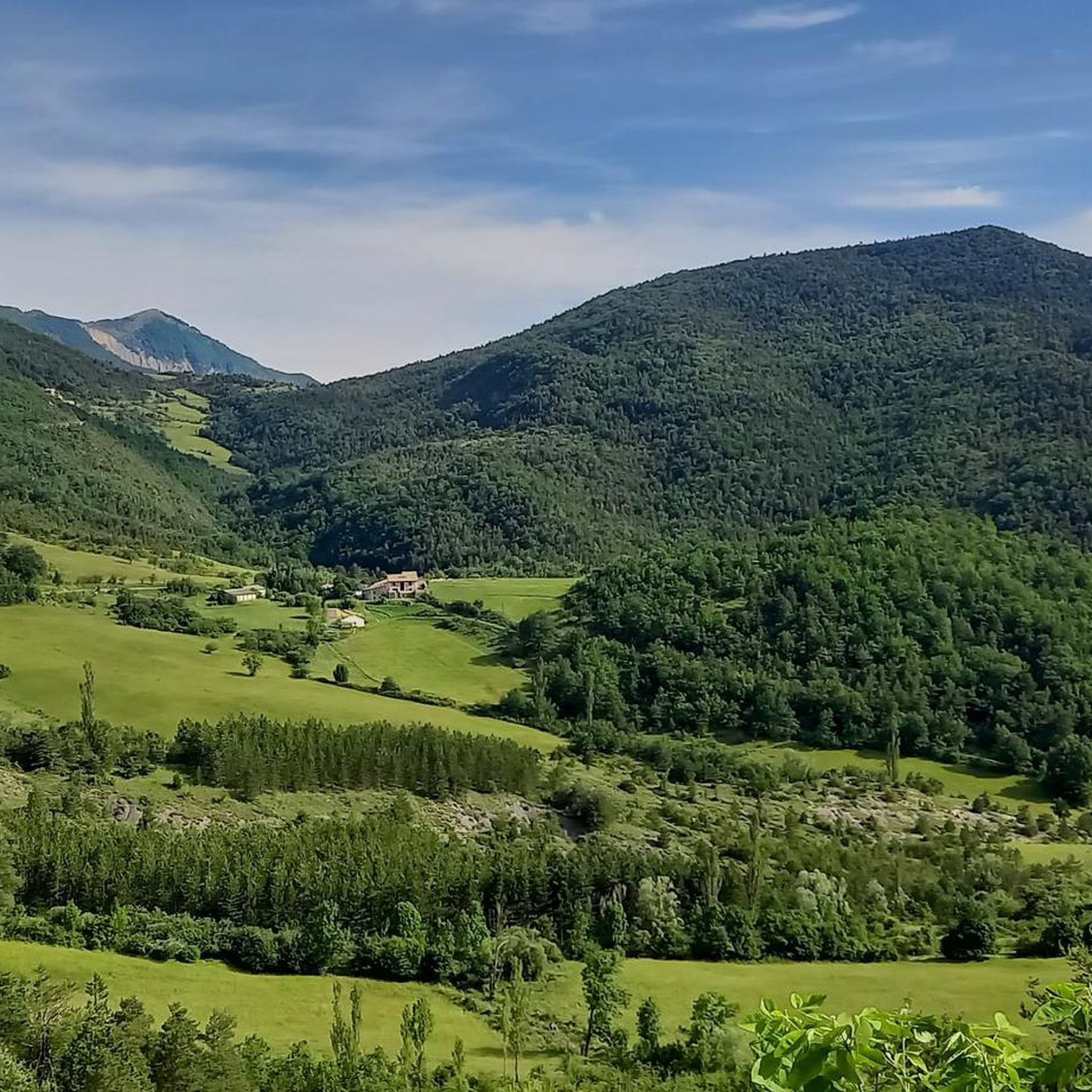
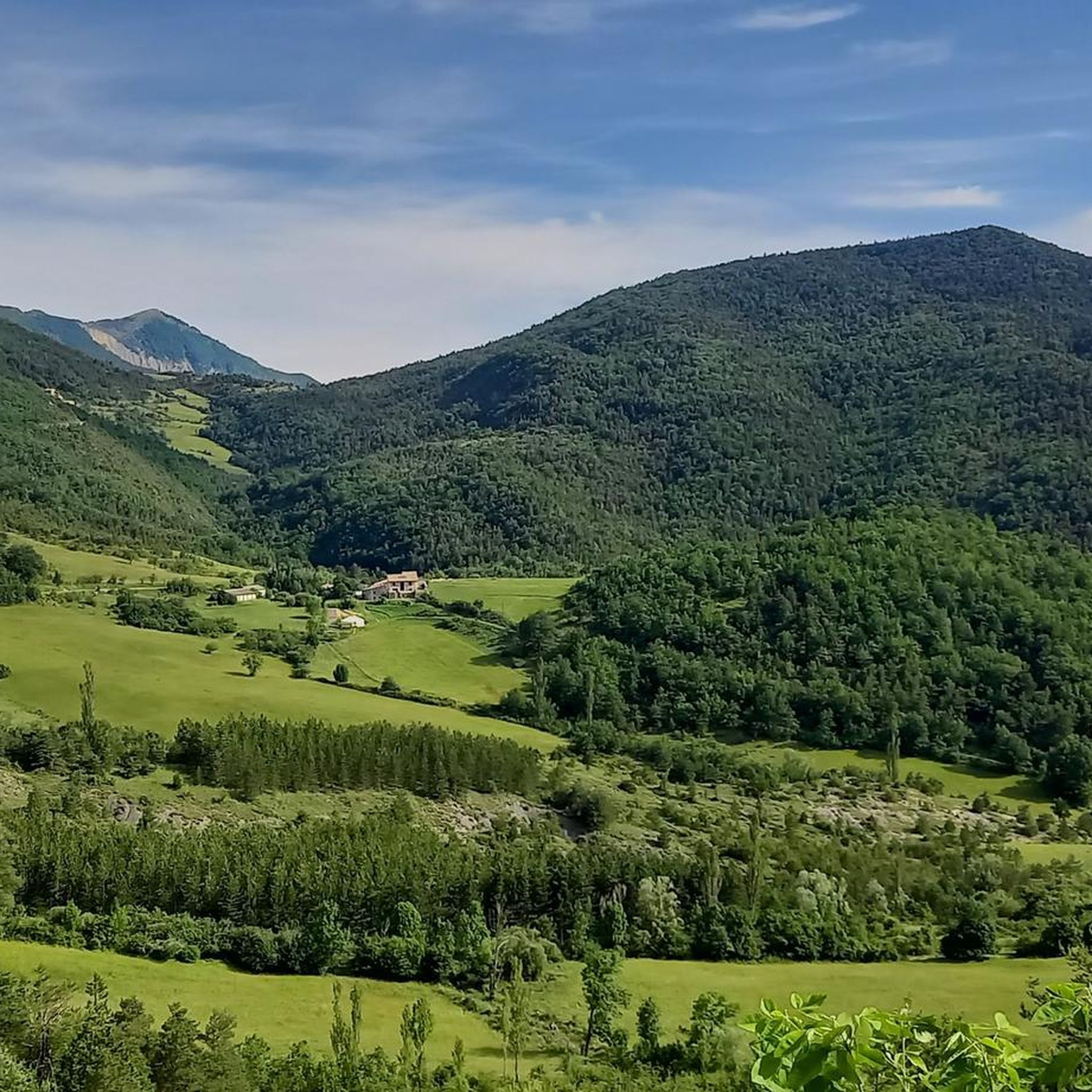
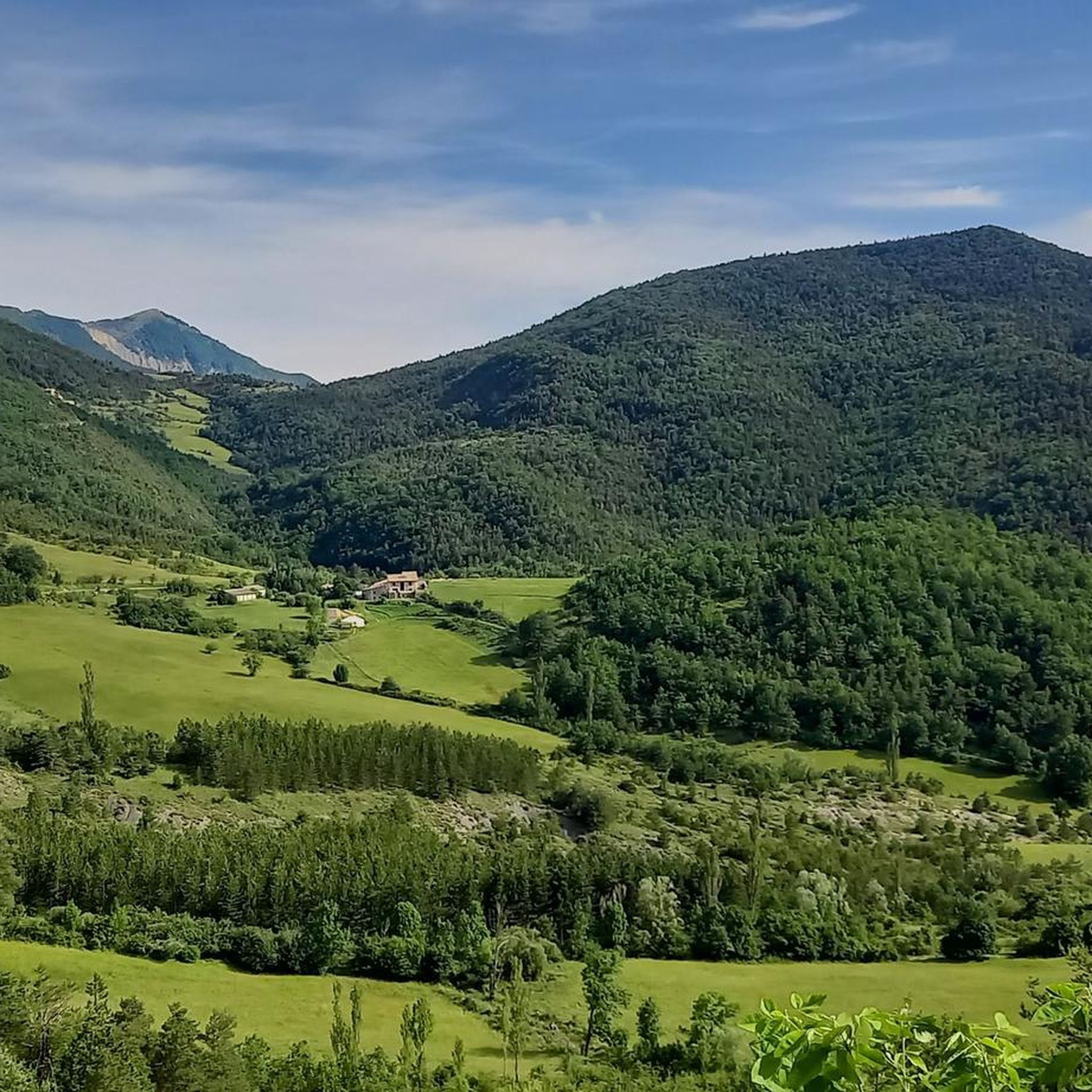
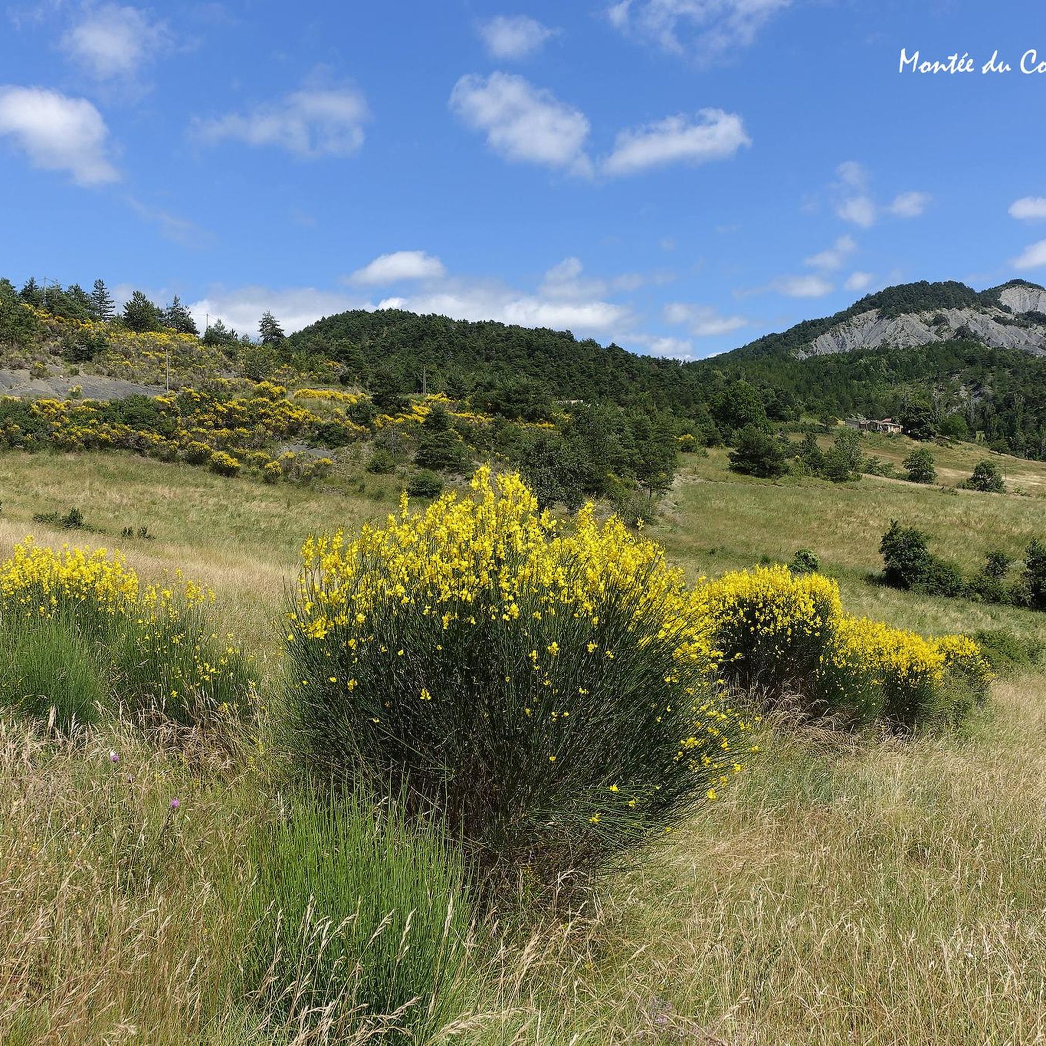

Tips from the Community

Beautiful place to rest in peace.
0
0

Magnificent view of the valley.
0
0
Very pleasant trails and often in the shade.
0
0
Very beautiful hike with ridge trails. Be careful, the descent on the way back is very steep.
0
0

One of the most exceptional hikes in our region. Forest path north of the Renard pass. Very steep path to the Gouy pass. Very beautiful climb on the ridge to the summit of Créma. Magnificent views of Miélandre, Angèle (the Merlu) and, to the north, the Couspeau range and the Saou syncline. Very pleasant descent (although a little steep) on a forest path. The end with a little bit of asphalt to rest the joints. For almost everyone (somewhat technical passages).
1
0

leave the Col de Valouse early in the morning for a few difficult passages
0
0

The Col du Pensier at an altitude of 1,002 meters is the link between Rémuzat and Villeperdrix. It is located in a dense natural setting and offers some beautiful views of the Baronnies.
0
0

View of the Baronnies plateau and its vultures
0
0
Frequently Asked Questions
How many hiking trails are available around Gumiane?
There are over 60 hiking routes available around Gumiane, offering a wide range of experiences for different skill levels. These trails are highly rated by the komoot community, with an average score of 4.4 stars from over 350 reviews.
What kind of terrain can I expect on hikes near Gumiane?
The terrain around Gumiane is incredibly diverse, ranging from mountainous circuses and prominent peaks to river valleys and cultivated hills. You'll find paths winding through the local hills, offering varied elevation and features. The broader Drôme region is known for its "outstanding landscapes," including the dramatic Vercors Massif and the untamed Drôme River.
Are there any family-friendly hiking options in the Gumiane area?
While the guide highlights moderate trails, the region offers a variety of routes, including 11 easy trails suitable for families. These paths often explore the gentler river valleys or cultivated hills, providing accessible options for all ages. Look for routes with less elevation gain and shorter distances for a comfortable family outing.
Can I bring my dog on the trails around Gumiane?
Many trails in the Drôme region are dog-friendly, but it's always recommended to check specific route details or local signage for any restrictions, especially in protected natural areas. Generally, dogs are welcome on leash, allowing you to enjoy the diverse landscapes with your canine companion.
What are some notable natural landmarks or viewpoints to discover while hiking?
The region around Gumiane is rich in natural beauty. You can explore dramatic features like the Gorges de Trente-Pas or the unique Le Trou de Souris Rock Arch. Other highlights include the Sausse Pass, offering scenic vistas, and the Sensational view from Bramard. The nearby Cirque d'Archiane and Mont Aiguille also offer stunning mountainous views, though they may require a drive.
Are there any circular hiking routes near Gumiane?
Yes, many of the trails around Gumiane are designed as loops, allowing you to start and end at the same point. For example, the View of Col de Reis – signpost loop from Chaudebonne is a popular circular route. Another option is the Hiking loop from Patas, which leads through the local hills.
What is the best time of year to go hiking in Gumiane?
The Drôme region generally offers pleasant hiking conditions from spring through autumn. Spring brings blooming wildflowers and mild temperatures, while autumn provides vibrant foliage. Summer can be warm, especially in the Provençal hills, but higher altitude trails in areas like the Vercors Massif offer cooler options. Always check local weather forecasts before heading out.
Are there any hikes that offer views of the Drôme River or the Vercors Massif?
While specific routes from Gumiane directly along the Drôme River are not detailed, the river flows from the Alps towards Provence, and its tributaries offer scenic routes for riverside walks. The Vercors Massif, known for its grandiose panoramas, is a significant feature of the broader region, and many trails will offer glimpses or direct views of its impressive landscapes, especially from higher elevations.
Where can I find parking for hiking trails around Gumiane?
Many trailheads in the Gumiane area, especially those starting from villages like Chaudebonne or Saint-Nazaire-le-Désert, typically have designated parking areas. It's advisable to check the starting point of your chosen route on komoot for specific parking information, as availability can vary.
Is public transport available to access hiking trails in the Gumiane region?
Public transport options in rural areas like Gumiane can be limited. While some regional bus services might connect larger towns, direct access to many trailheads often requires a car. It's best to research local bus schedules if you plan to rely on public transport, or consider carpooling if possible.
What do other hikers say about the trails in Gumiane?
The trails around Gumiane are highly regarded by the komoot community, with an impressive average rating of 4.4 out of 5 stars from over 350 reviews. Hikers often praise the diverse landscapes, the sense of exploration, and the well-maintained paths that cater to various difficulty levels. Over 1,800 hikers have used komoot to discover the area's natural beauty.
What are the different difficulty levels for hikes around Gumiane?
The Gumiane area offers a good mix of difficulty levels. Out of the 61 available tours, you'll find 11 easy routes, 39 moderate routes, and 11 difficult routes. This variety ensures that both casual walkers and experienced hikers can find suitable challenges, from gentle strolls to more demanding ascents with significant elevation gain.
Most popular attractions around Gumiane

Get inspired with the komoot mobile app


Explore more
Browse the best Hikes in other regions.
