The best cycling routes around Gumiane
4.7
(132)
1,766
riders
61
rides
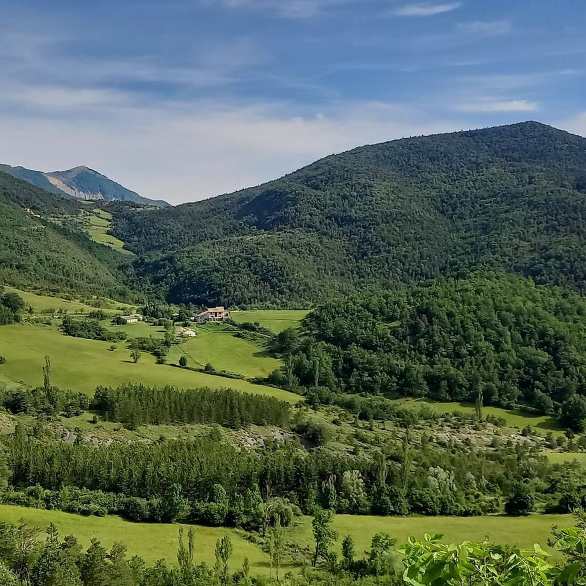
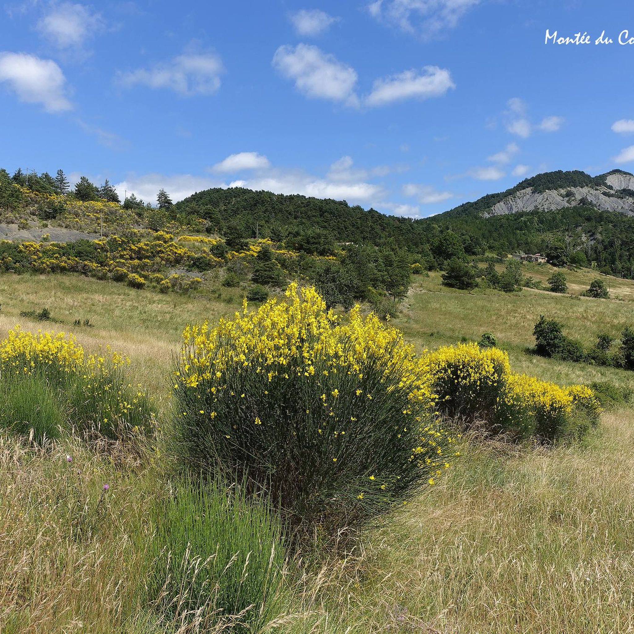
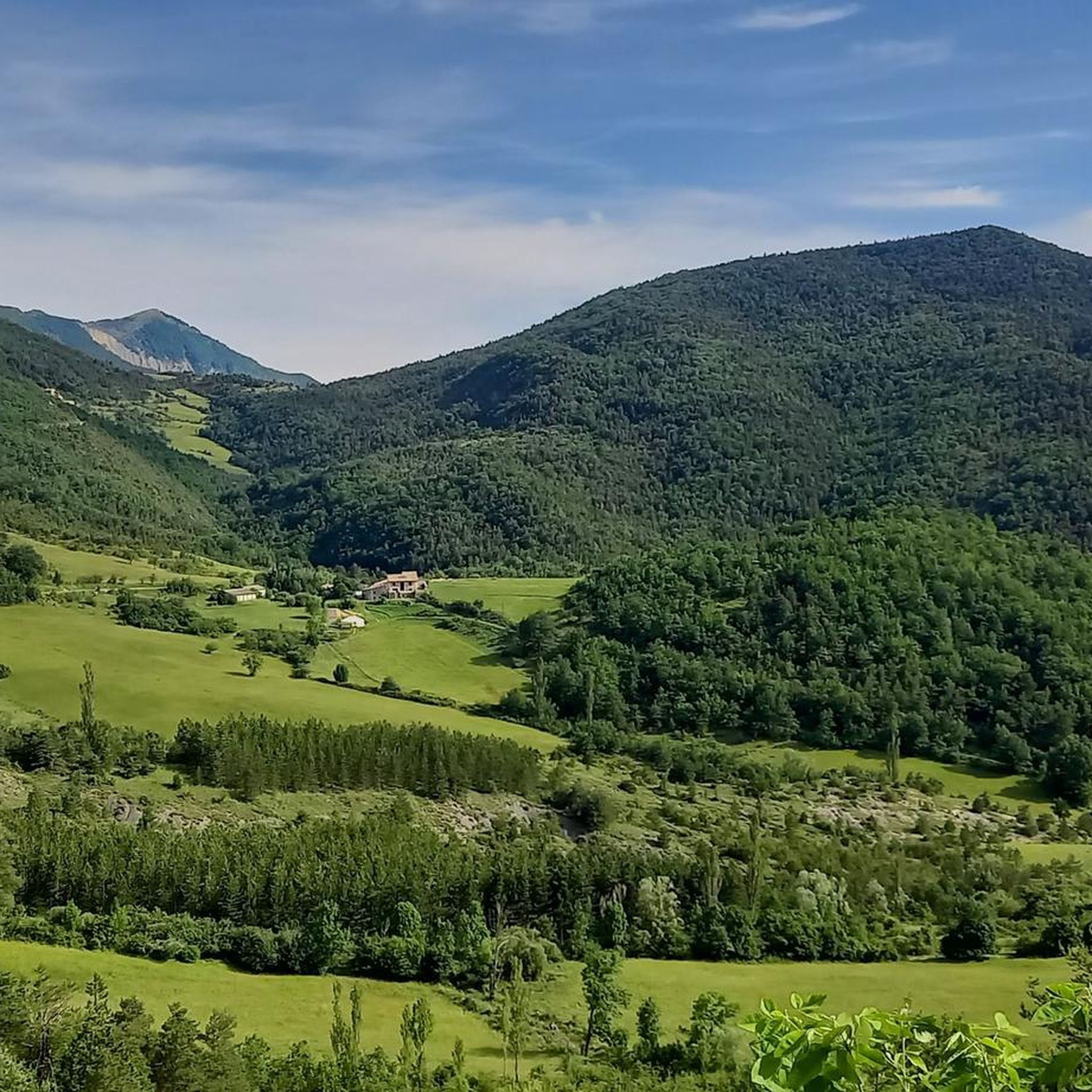
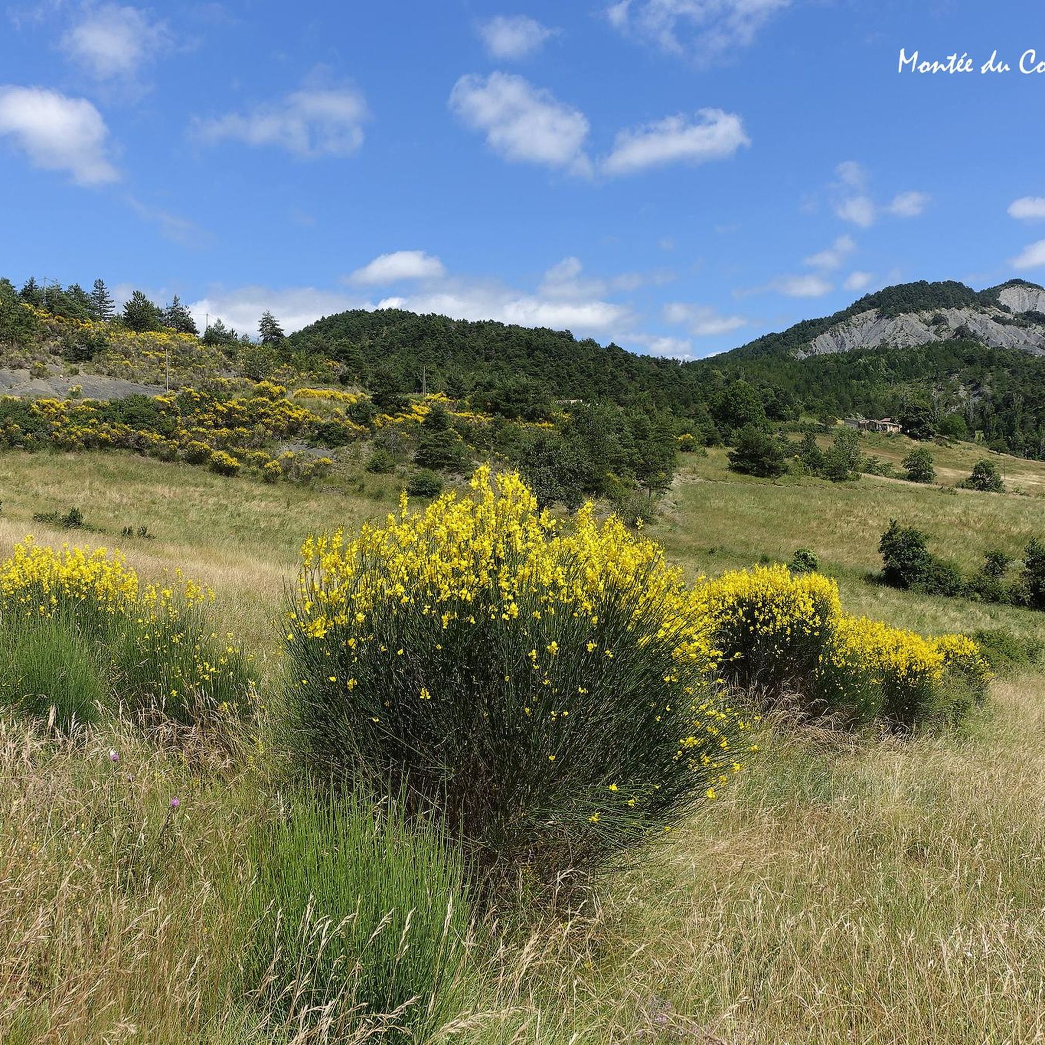
Touring cycling routes around Gumiane are characterized by a mountainous landscape featuring numerous passes and significant elevation changes. The region's terrain includes challenging climbs and descents, often leading through valleys and over cols. These routes frequently involve substantial elevation gain, making them suitable for experienced touring cyclists. The area offers a network of paths that navigate through varied natural settings.
Best touring cycling routes around Gumiane
- The most popular touring cycling route is La Motte-Chalancon – Cow Pass loop from…
Last updated: July 8, 2026
4.3
(9)
82
riders
60.9km
04:26
1,370m
1,370m
Hard bike ride. Very good fitness required. Mostly paved surfaces. Suitable for all skill levels.
4.4
(5)
34
riders
33.4km
02:21
700m
700m
Hard bike ride. Very good fitness required. Mostly paved surfaces. Suitable for all skill levels.

Sign up for free
4.5
(2)
25
riders
38.8km
02:56
960m
960m
Hard bike ride. Very good fitness required. Mostly paved surfaces. Suitable for all skill levels.
22
riders
50.6km
03:41
1,130m
1,130m
Hard bike ride. Very good fitness required. Mostly paved surfaces. Suitable for all skill levels.
5.0
(1)
17
riders
87.5km
07:02
2,340m
2,340m
Hard bike ride. Very good fitness required. Mostly paved surfaces. Suitable for all skill levels.
Get access to more routes and recommendations from other explorers.
Sign up for free
Already have an account?
Our route recommendations are based on thousands of hikes, rides, and runs completed by other people on komoot.
Start today with a free account
Your next adventure awaits.
Login or Signup

Tips from the Community

Regular climb with perfect asphalt.
0
0
The Col de Pennes (1,038 m) is a pass in the Diois massif, in the Drôme, which connects the Drôme valley with the Roanne valley. It is a little-known climb but highly appreciated by cyclists for the tranquility of the road, the good asphalt and the splendid panoramas.
0
0
The Col de Tavard is a small pass in the Drôme, in the Auvergne-Rhône-Alpes region, in the southeast of France.
0
0
These signs tell you how much is left to the summit and indicate the gradient of the km you are about to face.
0
0
Chalancon is a small, perched village in the Provençal Drôme, highly appreciated by cyclists.
0
0
Spectacular passage through the rocks.
0
0
The Col de Chamauche (1,037 m) is a little-known pass located in the Drôme, between La Motte-Chalancon and Saint-Nazaire-le-Désert, in the Diois massif. It is a climb highly appreciated by cyclists looking for quiet roads and authentic landscapes of the Alpine Provence.
0
0
Steady climb with simple gradients.
0
0
Frequently Asked Questions
How many touring cycling routes are available in Gumiane?
There are over 50 touring cycling routes recorded in Gumiane on komoot, offering a wide range of options for experienced cyclists. The region is known for its challenging mountainous terrain.
What is the typical difficulty level of touring cycling routes in Gumiane?
The touring cycling routes in Gumiane are predominantly challenging. Out of the 58 routes, 46 are classified as difficult, and 12 as moderate. This region is best suited for experienced touring cyclists due to significant elevation changes and mountain passes.
What are the average distances and durations for touring cycling routes in Gumiane?
Routes vary, but a typical difficult route like La Motte-Chalancon – Cow Pass loop from L'Hirondelle covers about 60.9 km (37.8 miles) and takes around 4 hours 26 minutes. Shorter, yet still challenging, options like Bouvières – Col de Muse (932 m) loop from Bouvières are about 35.7 km (22.2 miles) and can be completed in just over 2.5 hours.
Are there any family-friendly or easy touring cycling routes in Gumiane?
Given the mountainous landscape and significant elevation changes, most touring cycling routes in Gumiane are classified as difficult or moderate. There are currently no routes specifically rated as easy, making the area more suitable for experienced cyclists rather than families with young children or beginners seeking flat, gentle rides.
When is the best time of year for touring cycling in Gumiane?
Due to the mountainous terrain, the best time for touring cycling in Gumiane is typically from late spring to early autumn (May to October). During these months, the weather is generally more stable, and mountain passes are clear of snow, offering more pleasant conditions for challenging rides.
What kind of scenery can I expect on the touring cycling routes around Gumiane?
You can expect breathtaking mountainous landscapes, often featuring deep valleys, challenging cols, and panoramic views. The routes navigate through varied natural settings, providing a true immersion in the region's rugged beauty.
What do other touring cyclists say about the routes in Gumiane?
The touring cycling routes in Gumiane are highly regarded by the komoot community, holding an average rating of 4.6 stars from over 100 reviews. Cyclists often praise the challenging climbs, rewarding descents, and the stunning natural environment of the region's mountain passes.
Are there any notable landmarks or attractions along the touring cycling routes?
Yes, the region offers several interesting natural landmarks. You might encounter features like the Gorges de Trente-Pas, the impressive Le Trou de Souris Rock Arch, or enjoy a Sensational view from Bramard. Mountain passes like Sausse Pass are also prominent features.
Are there any circular touring cycling routes in Gumiane?
Yes, many of the touring cycling routes in Gumiane are designed as loops, allowing you to start and finish in the same location. Examples include the Travard Pass – Col de Pennes loop from Saint-Nazaire-le-Désert, which offers a challenging ride through mountain passes.
What should I pack for a touring cycling trip in Gumiane?
Given the significant elevation changes and mountainous terrain, it's advisable to pack layers of clothing suitable for varying temperatures, rain gear, sufficient water and snacks, a repair kit, and a helmet. A GPS device or a loaded komoot app is also highly recommended for navigation.
Where can I find access points for the touring cycling routes in Gumiane?
Many routes start and end in or near local villages and towns such as L'Hirondelle, Bouvières, or Saint-Nazaire-le-Désert. These locations often serve as convenient starting points with potential parking options, allowing direct access to the mountainous terrain.
Are there any less-traveled touring cycling routes in Gumiane?
While the region's routes are generally well-regarded, with over 50 options available, you can explore less-frequented paths by looking beyond the most popular ones. Consider routes that venture deeper into the more remote parts of the mountainous landscape for a quieter experience, such as the challenging Saint-Nazaire-le-Désert – Col de Muse (932 m) loop from Bouvières.
Most popular attractions around Gumiane

Get inspired with the komoot mobile app


Explore more
Browse the best Cycling routes in other regions.
