The 12 Most Amazing Peaks around La Llagonne
Best mountain peaks around La Llagonne provide access to the Catalan Pyrenees, a region characterized by rugged mountains, pristine lakes, and extensive forests. This area serves as a gateway to diverse landscapes and significant natural features. The terrain offers a range of hiking opportunities, from high-altitude summits to scenic passes. These mountains are known for their panoramic views and varied natural environments.
Best mountain peaks around La Llagonne
- The most popular mountain peaks is Summit of Pic Carlit, a…
Last updated: July 7, 2026
Summit of Pic Carlit
Highlight • Summit
Translated by Google •
Tip by

Col Mitjà
Highlight • Mountain Pass
Translated by Google •
Tip by

Sign up now to discover places like this
Get recommendations on the best single tracks, peaks, & plenty of other exciting outdoor places.
Sign up for free
Mount Llaret
Highlight • Summit
Translated by Google •
Tip by

Peak of the Moors
Highlight • Summit
Translated by Google •
Tip by

Cabane de Rouzet
Highlight • Mountain Hut
In 1983 …
Translated by Google •
Tip by

Sign up for free to discover even more peaks around La Llagonne.
Sign up for free
Already have an account?
Start today with a free account
Your next adventure awaits.
Login or Signup
Tips from the Community


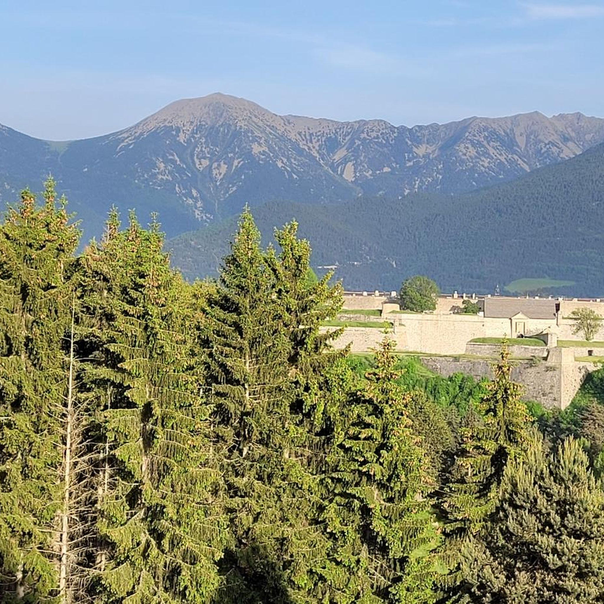
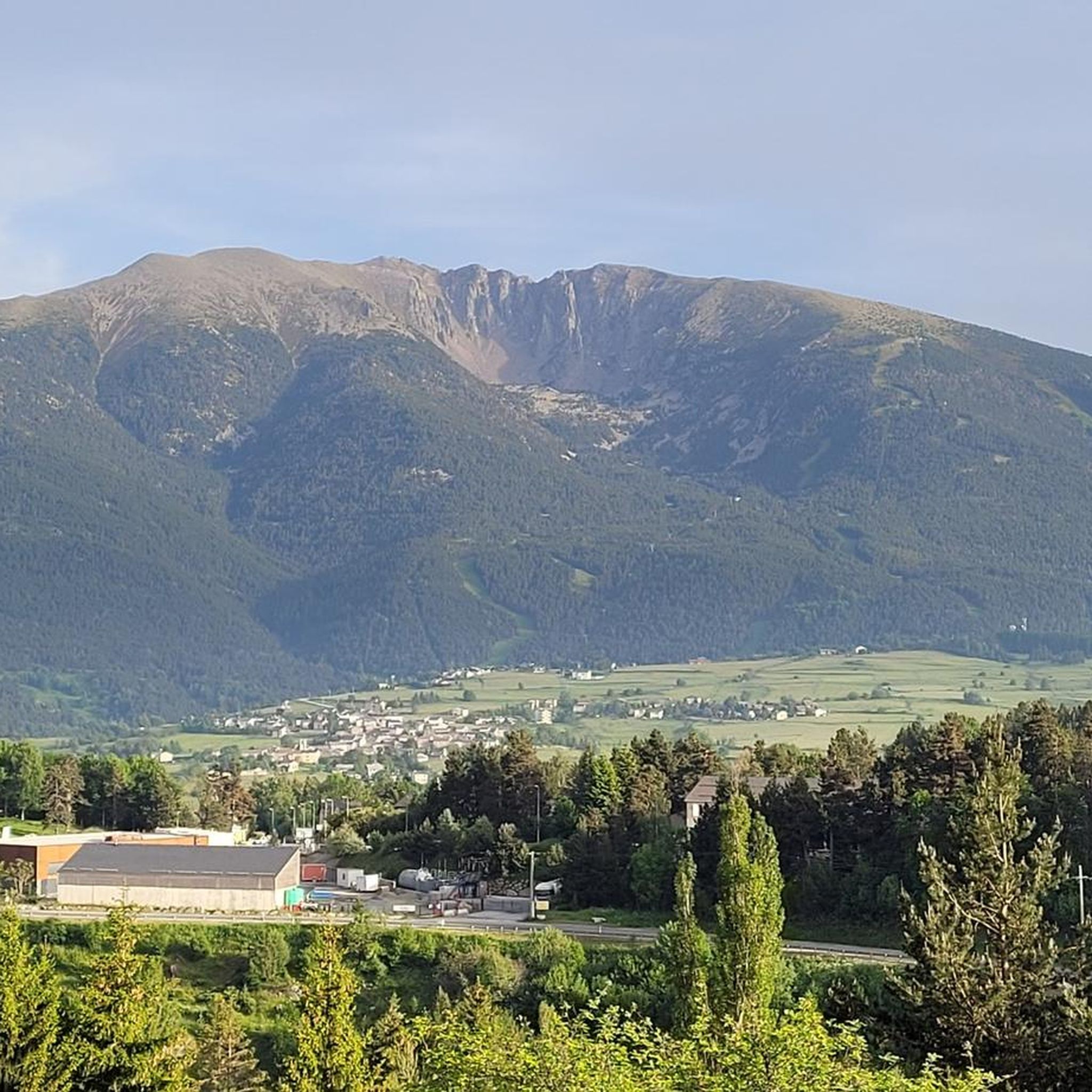
View of the Carlit, the Bouillouses, the Péric, the Sierra de Cadi, the Cerdagne valley .... Wonderful.
0
0


Carlit Peak is part of the Capcir granite massif, which is dotted with 27 lakes and small lakes in the Occitanie region, northwest of Font-Romeu. Its summit is located at 2921 meters, allowing you to observe an immense panorama (from Canigó to the Central Pyrenees).
1
2

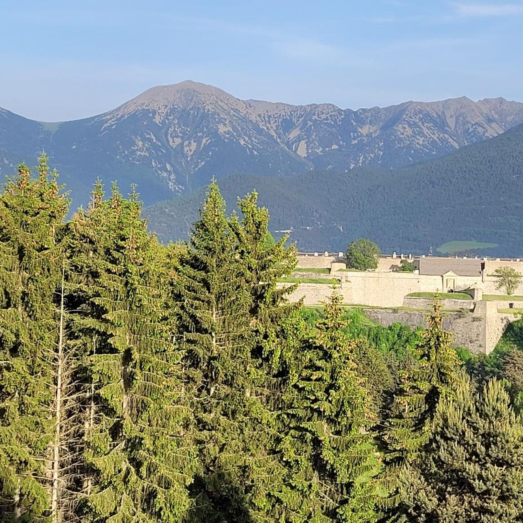
This pedestrian pass allows hikers to switch from the Carança valley to the Riberola valley. It peaks at 2,367 meters and forms the junction between two magnificent peaks: Puigs Rodon to the south, and Gallinàs to the north.
4
0

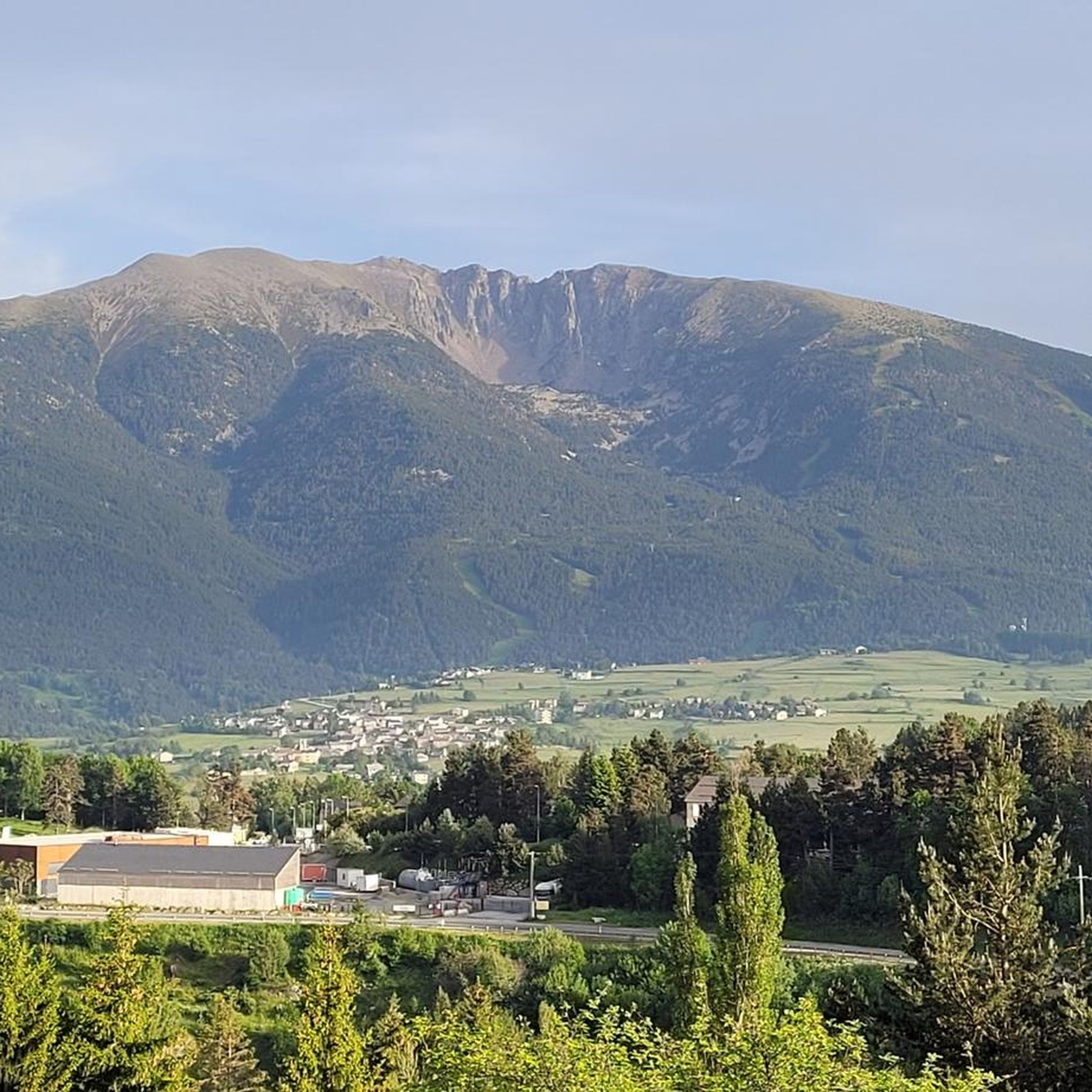
Culminating at 2,921 meters, the peak of Carlit reigns within an exceptional natural environment. It offers wide panoramas over the valley and its countless lakes.
2
0
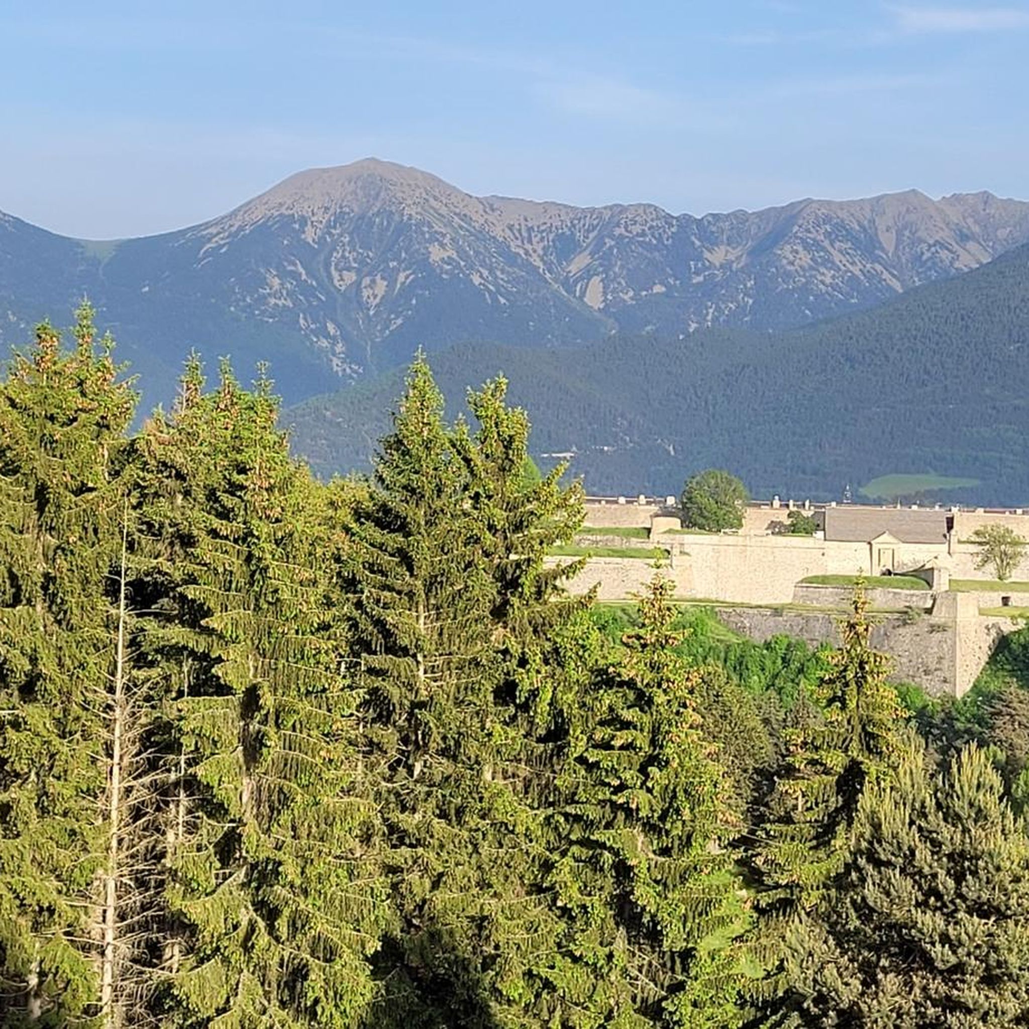
The Pic dels Moros culminates at 2,138 meters on the heights of Font-Romeu. Easy to access, it offers a remarkable panorama of the Pyrenees chain.
0
0

Frequently Asked Questions
Which mountain peaks are most popular around La Llagonne?
Among the most popular peaks, the Summit of Pic Carlit stands out as the highest in the Pyrénées-Orientales department, offering immense panoramic views. Visitors also highly appreciate Mount Llaret, which provides views of the Carlit and the Cerdagne valley, and the Peak of the Moors, known for its easily accessible panorama of the Pyrenees chain.
What kind of terrain and difficulty can I expect on the mountain peaks near La Llagonne?
The terrain around La Llagonne offers a diverse range of hiking experiences. Peaks like Pic Carlit are considered challenging, often involving technical sections, especially near the summit. Other areas, such as the Peak of the Moors, are described as intermediate and easily accessible, providing impressive views without extreme exertion. The region includes high-altitude summits, scenic passes like Col Mitjà, and extensive forested areas.
Are there family-friendly mountain walks or easy hikes around La Llagonne?
While some peaks are challenging, the region around La Llagonne does offer options for less strenuous walks. The Peak of the Moors, located on the heights of Font-Romeu, is noted for its easy accessibility and remarkable panoramic views, making it a popular choice for those seeking impressive scenery without extreme exertion. The broader mountainous terrain also includes numerous picturesque lakes and forested areas, providing opportunities for easier strolls.
What natural features and viewpoints can I discover on these peaks?
The peaks around La Llagonne are rich in natural features and offer breathtaking viewpoints. From the Summit of Pic Carlit, you can enjoy wide panoramas over the valley and its numerous lakes. Mount Llaret provides views of the Carlit, the Bouillouses, and the Cerdagne valley. The Peak of the Moors offers an easily accessible panorama of the entire Pyrenean chain, as well as the Cerdanya and Capcir plateaus. Additionally, the Col Mitjà is a wonderful viewpoint connecting the Carança and Riberola valleys.
What is the best time of year to hike the mountain peaks near La Llagonne?
While specific seasonal details for all peaks are not provided, the region's mountainous nature suggests that late spring through early autumn (roughly May to October) would generally be the most favorable time for hiking. During these months, the weather is typically milder, and trails are more accessible. Winter hiking would likely involve snow and require specialized equipment and experience due to challenging conditions.
Are there any mountain passes worth exploring in the area?
Yes, the Col Mitjà is a notable mountain pass near La Llagonne. Located at 2,367 meters, this pedestrian pass allows hikers to traverse between the Carança and Riberola valleys. It also forms a junction between two peaks, Puigs Rodon and Gallinàs, and offers wonderful viewpoints.
What outdoor activities, besides hiking, can I do near these mountain peaks?
The area around La Llagonne is excellent for various outdoor activities. You can find numerous cycling routes, including challenging road cycling tours like the 'Col de la Llose from La Llagonne' or 'Mijanès – Col de la Perche loop'. Mountain biking is also popular, with trails such as the 'Lake Calvet – Lake Matemale loop' or the 'Pla de Barrès - 1651 m – Lac des Bouillouses loop'. For more details on these routes, you can explore the Cycling around La Llagonne, Road Cycling Routes around La Llagonne, and MTB Trails around La Llagonne guides.
What do visitors enjoy most about the mountain peaks around La Llagonne?
Visitors frequently highlight the exceptional natural environment and the wide, expansive panoramas. The challenging yet rewarding ascent of peaks like Pic Carlit is often mentioned, along with the magnificent views of numerous surrounding lakes and distant mountain ranges. The accessibility of viewpoints like the Peak of the Moors, offering stunning Pyrenean vistas, is also a major draw.
Are there any huts or shelters available on the trails?
Yes, there are some facilities like the Cabane de Rouzet, a small cabin located near the Etang de Lanoux. Such huts can provide shelter for hikers, though their accessibility and condition may vary. It's advisable to check current conditions if planning to rely on them.
What are some of the lakes visible from the mountain peaks?
The region is dotted with numerous picturesque lakes. From the Summit of Pic Carlit, you can see countless surrounding lakes. Mount Llaret dominates Lake Aude, and views often include Lac des Bouillouses and Lac de Matemale. These lakes are central features of the Capcir granite massif and contribute significantly to the scenic beauty of the area.
Is public transport available to reach hiking areas near La Llagonne?
While the guide data doesn't specify direct public transport links to every trailhead, La Llagonne is nestled in the Catalan Pyrenees, and larger towns in the region often have bus or train connections. For specific trail access, it's recommended to research local transport options from La Llagonne or nearby hubs like Font-Romeu or Les Angles, which are mentioned as access points for some peaks.
What is the cultural significance of the mountains in this region?
Beyond their natural beauty, mountains in this region hold cultural importance. While not directly adjacent to La Llagonne, Mont Canigou (Pic du Canigou), visible from the area, is a significant and culturally important mountain for Catalans, dominating the local landscape with its distinctive silhouette. This highlights the deep connection between the local communities and their mountainous surroundings.
Most popular routes around La Llagonne
Most popular attractions around La Llagonne

Get inspired with the komoot mobile app


Explore more
See even more amazing summits around La Llagonne with these guides:
