The best running trails around Rathjensdorf
4.4
(469)
6,594
runners
327
runs
Jogging routes Rathjensdorf are set within the Holstein Switzerland Nature Park, characterized by rolling hills, numerous lakes, and extensive forests. The region offers diverse terrain, including lakeside paths along the Great Plön Lake and shaded trails through beech slope forests. This varied landscape provides engaging routes for runners seeking natural environments.
Best jogging routes around Rathjensdorf
- The most popular jogging route is Plön Castle – Rest Area With Lake View loop from Plön, a 23.6 miles (38.0 km) trail…
Last updated: July 10, 2026
5.0
(2)
62
runners
Moderate run. Good fitness required. Mostly paved surfaces. Suitable for all skill levels.
4.8
(17)
78
runners
6.55km
00:42
50m
50m
Moderate run. Good fitness required. Mostly paved surfaces. Suitable for all skill levels.

Sign up for free
5.0
(5)
63
runners
10.9km
01:11
100m
100m
Moderate run. Good fitness required. Mostly paved surfaces. Suitable for all skill levels.
4.8
(23)
42
runners
19.8km
02:11
110m
110m
Hard run. Very good fitness required. Mostly paved surfaces. Suitable for all skill levels.
5.0
(3)
39
runners
Moderate run. Good fitness required. Mostly paved surfaces. Suitable for all skill levels.
Get access to more routes and recommendations from other explorers.
Sign up for free
Already have an account?
Our route recommendations are based on thousands of hikes, rides, and runs completed by other people on komoot.
Start today with a free account
Your next adventure awaits.
Login or Signup

Tips from the Community

Discover the Holstein Switzerland and enjoy your hike along the circular routes Kellersee, Plöner Seen and Segeberger Flüsse und Seen. Look out for our 20 stamp boxes and take a short break there. In the stamp boxes you will find a stamp with a motif from the Holstein Switzerland and a number as well as a stamp pad. Press the stamp onto the correspondingly numbered field in your hiking pass and continue to the next stamp box.
7
0

Unfortunately, we were here off-season...
1
1
The Holsteinische Schweiz Hiking Pass tempts with over 20 stamp boxes along three main hiking trails ("Kellersee", "Plöner Seen", "Segeberger Flüsse und Seen") to earn hiking pins. Hikers collect stamps in a free pass, available at the Tourist Information centers in Plön, Malente, Eutin, or Bad Segeberg. Tourist-Info Bad Segeberg Tourist-Info Bad Segeberg
5
0

The Schwentine River connects numerous lakes in the Holstein Switzerland region, here Lake Plön with Lake Höftsee.
2
0
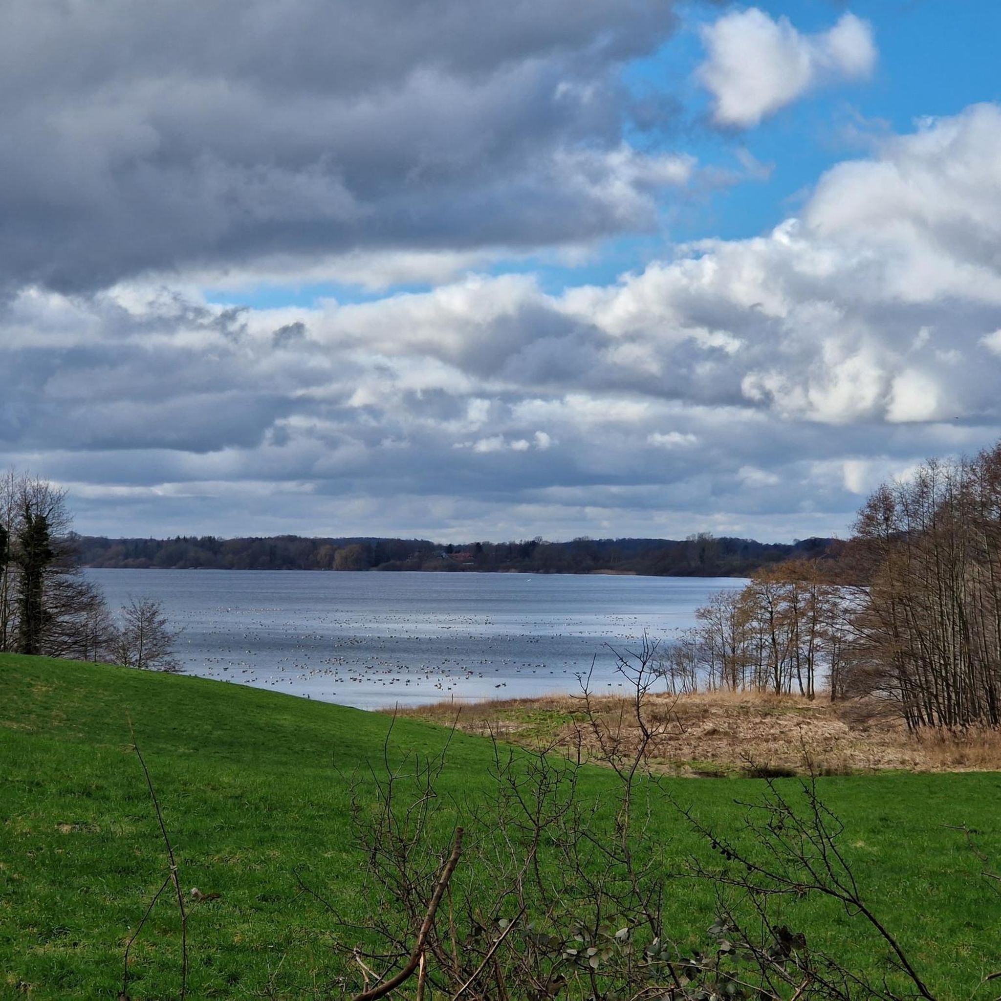
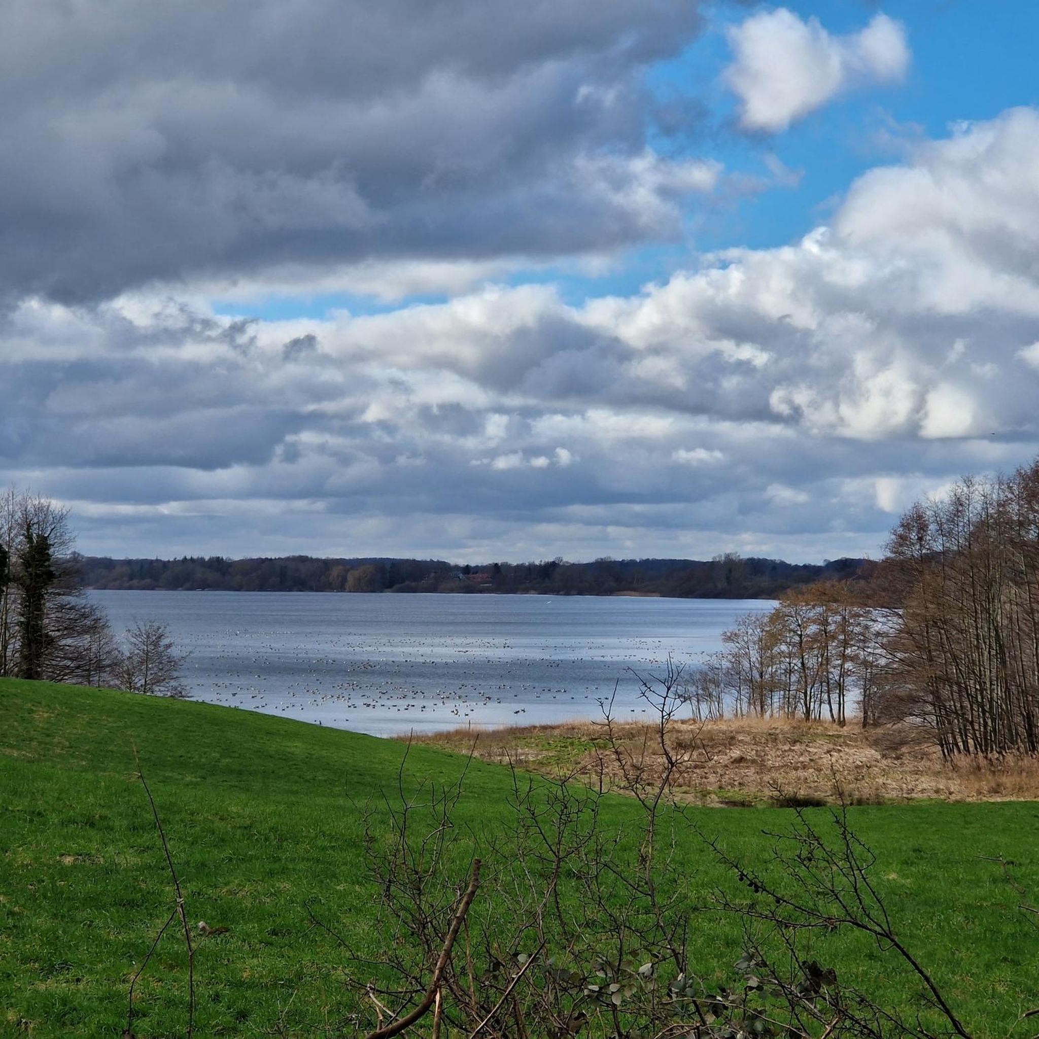
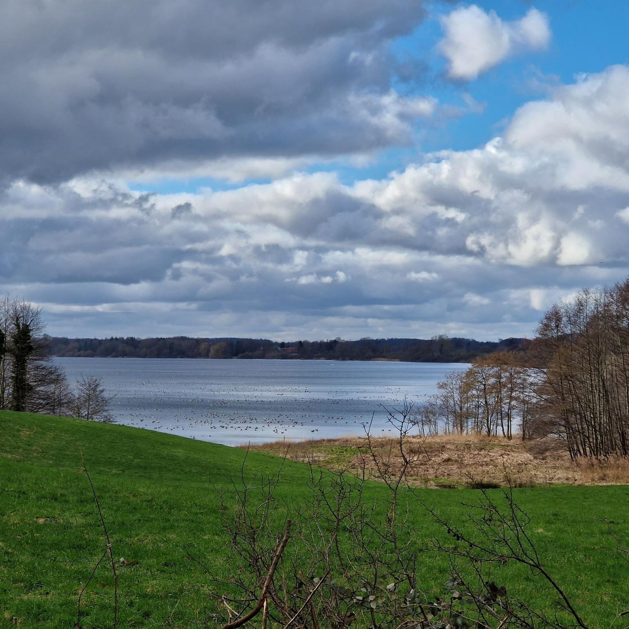
The feeling: The scenery conveys a deep sense of peace and serenity. It is a moment in which the picturesque landscape of the lake district is particularly striking, and one can enjoy the silence far removed from the hustle and bustle.
10
1
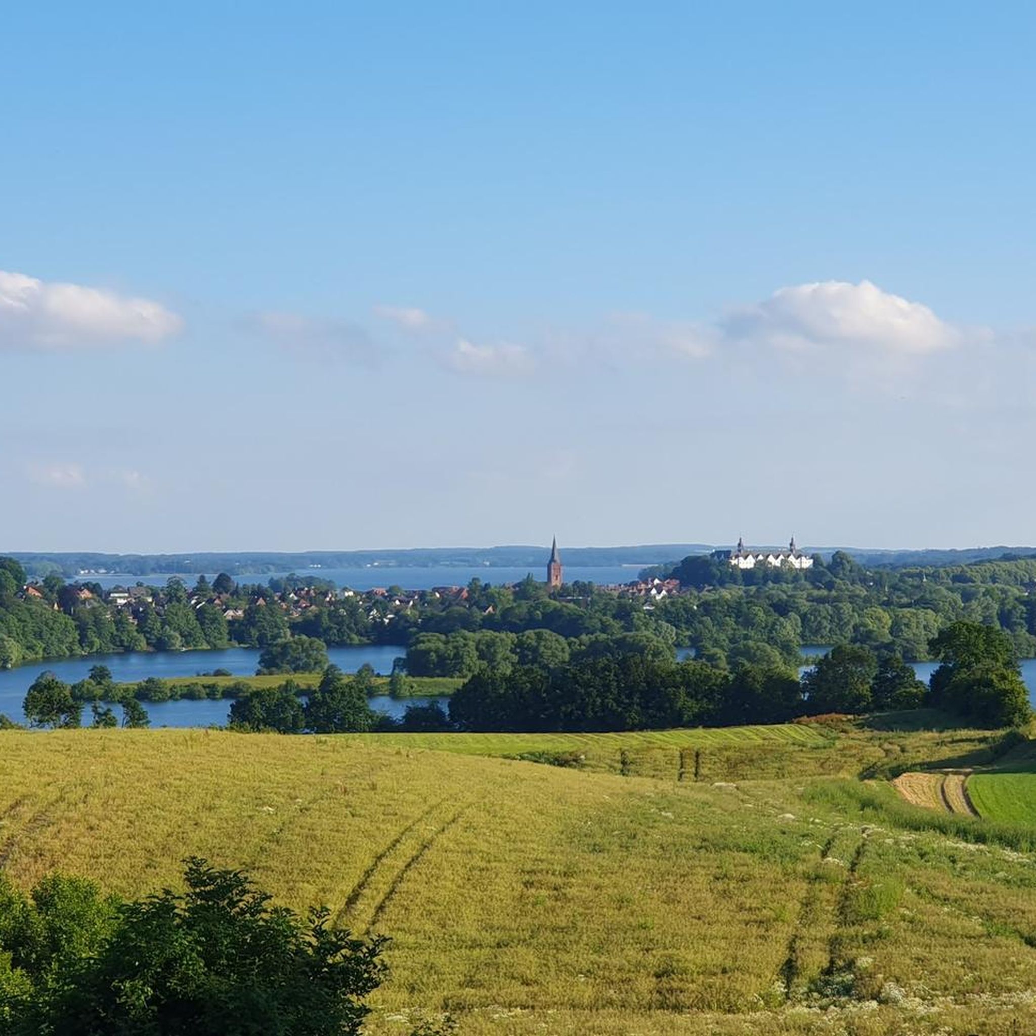
Plön's town bay, located in the northern part of Lake Plön, features lakeside restaurants, a boat landing, and a marina. Plön's town bay has much to offer, most notably the magnificent view of Plön Castle. Along the bay, you'll find numerous restaurants, a beautiful, long lakeside promenade perfect for strolling, and the Marktbrücke landing stage for the Grand Plön Lake Tour. On Eutiner Straße, between the residential area and the sailing club, lies a fishing area with a jetty, an entry point for divers, and a launch and landing area for stand-up paddleboards (SUPs).
7
1
On the mirror-like surface of the lake, the shadows of the trees danced, while on the opposite shore, the first lights of the houses twinkled like tiny stars. A rowboat, moored all day, rocked almost imperceptibly. In that moment, time seemed to stand still, and the Dieksee became the perfect place to let the day end in peaceful serenity.
9
0
The lake, situated in a hilly landscape, is bordered by extensively managed grassland to the north and east, a mixed forest to the southeast, an allotment garden and a cemetery on the southern shore, as well as private gardens, a fishing club on the western shore, and a path running directly along the lake for approximately 800 meters. West of the cemetery is a large, unsupervised bathing meadow, and another bathing area can be found in the forest. Furthermore, it has three small, wooded islands (from west to east: Kleiner Warder, Mittelster Warder, Großer Warder). The lake level fluctuates between a maximum of 22.45 meters above sea level in spring and a minimum of 22.27 meters above sea level in late summer (data from 2001). During the winter months, Schöhsee is of regional importance for several waterfowl species, particularly for up to 2,000 tufted ducks. Furthermore, the lake is part of the hunting grounds of white-tailed eagles and a breeding ground for oystercatchers, great crested grebes, kingfishers, common goldeneyes, and many other waterfowl species. Due to the relatively small catchment area resulting from the lake's low nutrient content, especially nitrogen and phosphorus, and the consequently limited algae growth, Lake Schöhsee, with a summer visibility of over 3.5 meters, is one of the clearest lakes in Schleswig-Holstein. The use of motorboats and sailboats on the lake is generally prohibited, while canoes, rowboats, and paddleboats may use it with permission obtained from the angling club. The Max Planck Institute for Limnology (since April 2007, the Max Planck Institute for Evolutionary Biology), which existed under this name until 2007 and is located on the shore of Lake Schöhsee, studied, among other things, the inland water ecosystem there. Since the lake, which is currently in good ecological condition, particularly with regard to underwater fauna and vegetation, and has only a limited capacity for regeneration due to the relatively long exchange time, it requires strict protection to maintain this condition. Any potential threat would arise from the intensification of agriculture and the use of fertilizers on fields or in gardens.
12
2
Frequently Asked Questions
How many running routes are available around Rathjensdorf?
There are over 330 diverse running routes around Rathjensdorf, catering to various fitness levels. These include easy, moderate, and challenging trails through the picturesque Holstein Switzerland region.
What kind of terrain can I expect on the jogging trails in Rathjensdorf?
The jogging trails in Rathjensdorf offer a varied terrain, characteristic of the Holstein Switzerland Nature Park. You'll find rolling hills, extensive forests with shaded paths, and beautiful lakeside routes, particularly along the Great Plön Lake. This mix provides engaging and dynamic runs.
Are there any family-friendly jogging routes in the Rathjensdorf area?
Yes, Rathjensdorf offers several family-friendly jogging options. Many of the easier routes, especially those along the lakeshores, are suitable for families. For example, the View of Schöhsee – Villa Steinberg loop from Plön is a moderate 4.0-mile trail that's often completed in about 41 minutes, offering pleasant lakeside views.
Can I bring my dog on the running trails around Rathjensdorf?
Many trails in the Rathjensdorf area are dog-friendly, allowing you to enjoy a run with your canine companion. It's generally recommended to keep dogs on a leash, especially in nature conservation areas or when passing through villages, to ensure the safety and comfort of all trail users and local wildlife.
What are some scenic viewpoints or landmarks I can see while jogging in Rathjensdorf?
The region is rich in scenic beauty. You can enjoy stunning views of the Great Plön Lake from various points, such as the View of Großer Plöner See from the Town Bridge. Many routes also pass through charming villages, past tastefully arranged farms, castles, and windmills, adding visual interest to your run. The Dieksee Promenade is another lovely spot.
Are there any long-distance or challenging running routes available?
Absolutely. For those seeking a challenge, Rathjensdorf offers several difficult routes. The Plön Castle – Rest Area With Lake View loop from Plön is a challenging 23.6-mile (38.0 km) trail that takes over 4 hours to complete, featuring extensive lake views and varied terrain. Another difficult option is the Schwentine Bridge Timmdorf – View of Behler See loop from Plön, which is nearly 20 miles long.
What do other runners say about the jogging routes in Rathjensdorf?
The running routes in Rathjensdorf are highly regarded by the komoot community, with an average rating of 4.4 stars from over 400 reviews. Runners often praise the diverse landscapes, including the serene lakeside paths and peaceful forest trails, as well as the well-maintained nature of the routes.
Are there options for moderate-difficulty running trails?
Yes, the majority of running routes around Rathjensdorf are of moderate difficulty, with over 210 such trails. A popular choice is the View of Großer Plöner See – Plön Lake loop from Plön, a moderate 7.1-mile (11.5 km) path that follows the scenic shores of the Great Plön Lake.
Is public transport available to access the running trails?
While specific public transport stops directly at every trailhead might vary, the region's focus on outdoor recreation means that many routes are accessible from towns like Plön, which have public transport connections. It's advisable to check local bus or train schedules to find the most convenient access points for your chosen route.
Are there any cafes or places to rest along the jogging routes?
Yes, the region's infrastructure supports outdoor recreation, and you'll often find cozy resting places and small cafés along or near many routes. These spots are perfect for a short break, a refreshing drink, or a snack, especially after a longer run.
Do I need any special permits to jog on trails in Germany, specifically around Rathjensdorf?
Generally, no special permits are required for jogging on public trails and paths in Germany, including those around Rathjensdorf. The trails are freely accessible for recreational use. However, always respect local signage, especially in nature reserves, and adhere to any rules regarding leashed dogs or protected areas.
What is the best time of year to go jogging in Rathjensdorf?
Rathjensdorf offers enjoyable jogging experiences year-round. The wooded areas provide shaded trails that are particularly appealing during warmer months. In spring and autumn, the changing foliage adds extra beauty to the landscape. Even in winter, many paths are suitable for running, offering a tranquil and crisp environment.
Most popular routes around Rathjensdorf
Most popular attractions around Rathjensdorf

Get inspired with the komoot mobile app


Explore more
Browse the best Running Trails & Routes in other regions.
