The best running trails around Rougiers
4.4
(56)
2,170
runners
181
runs
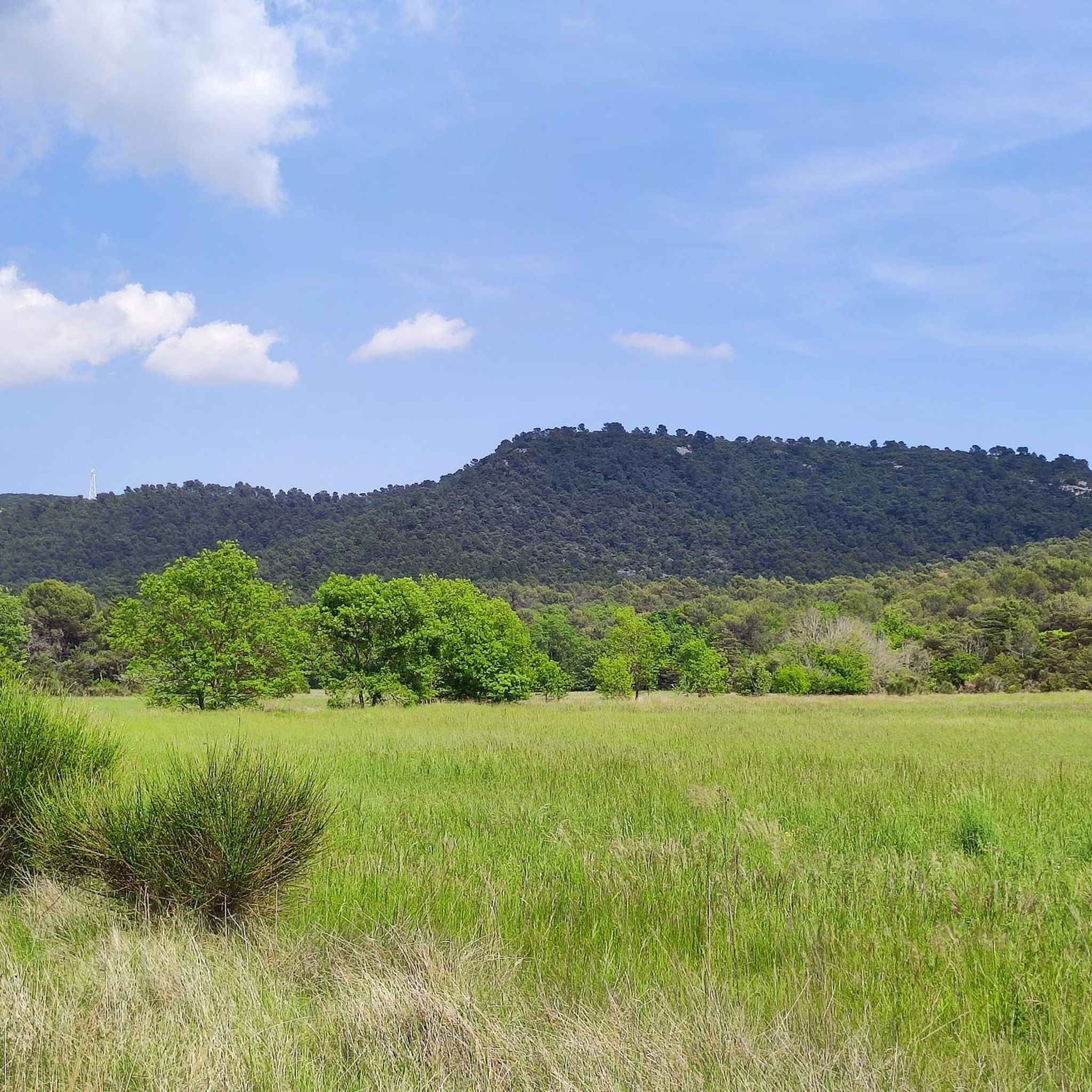
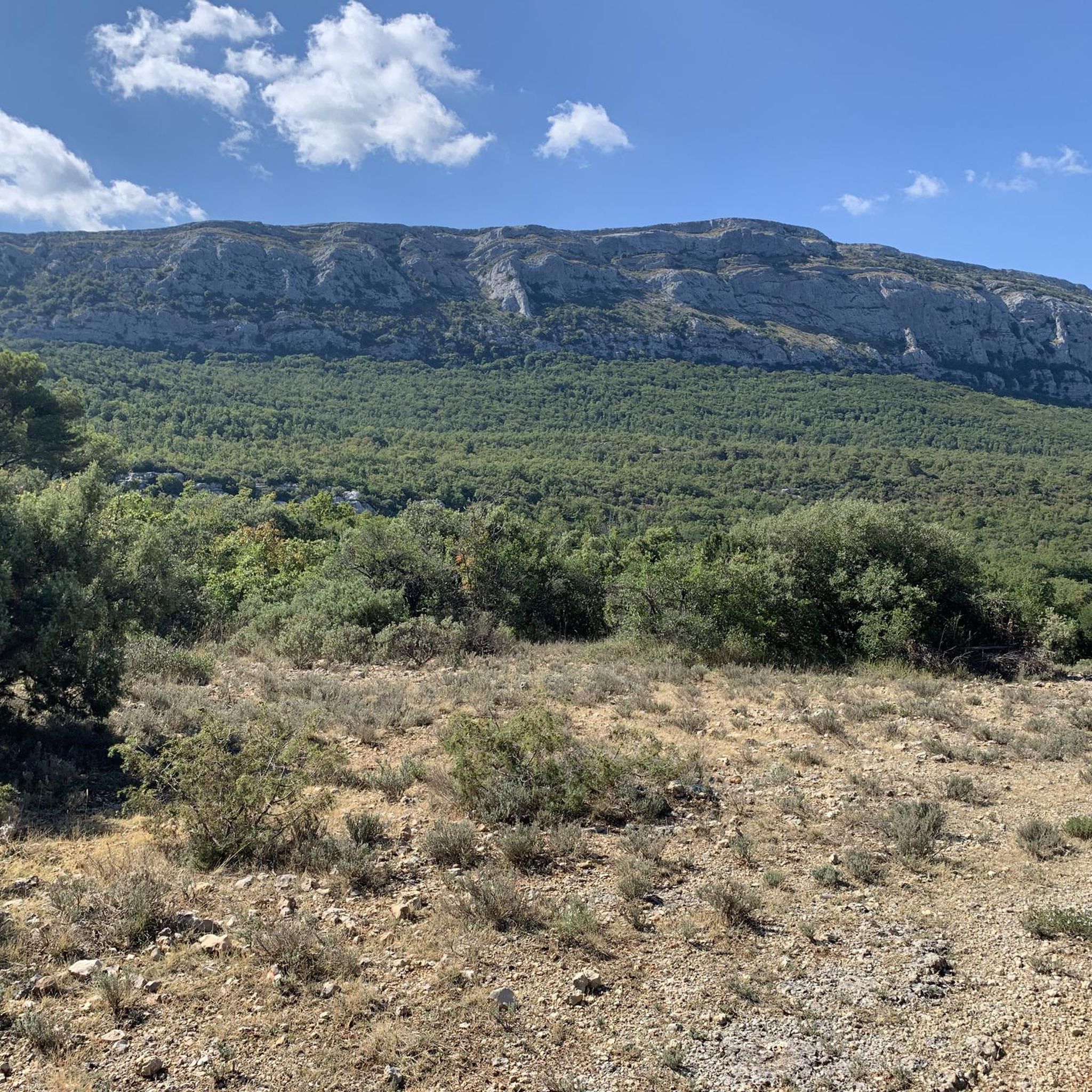
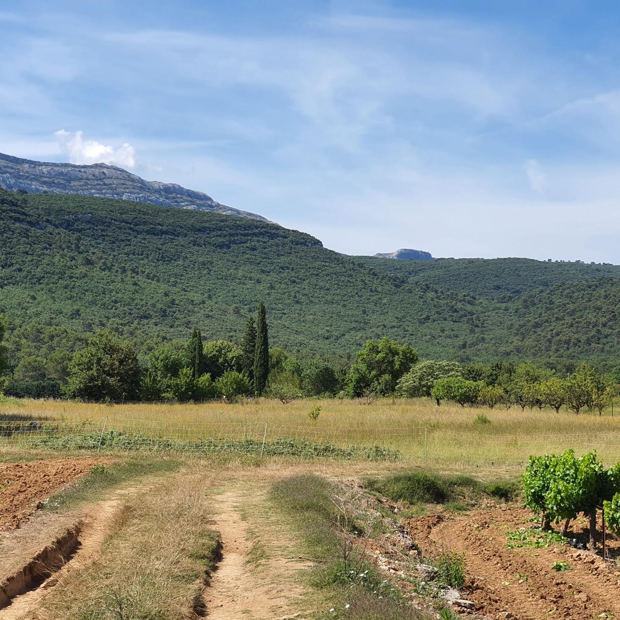
Jogging around Rougiers offers a diverse experience across its varied terrain, characterized by woodlands, open fields, and gentle hills. The region features vineyards and agricultural crops, providing a tranquil environment for runners. Many routes follow paths alongside the Canal de Provence, offering flat and scenic options. This landscape provides suitable conditions for runners of all levels.
Best jogging routes around Rougiers
- The most popular jogging route is Running loop from Aire de covoiturage de Nans les pins, a 5.5…
Last updated: July 5, 2026
4.5
(4)
70
runners
8.86km
00:56
70m
70m
Moderate run. Good fitness required. Mostly paved surfaces. Suitable for all skill levels.
4.3
(3)
22
runners
Moderate run. Good fitness required. Mostly paved surfaces. Suitable for all skill levels.

Sign up for free
13
runners
Moderate run. Good fitness required. Mostly paved surfaces. Suitable for all skill levels.
6
runners
28.1km
03:01
280m
280m
Hard run. Very good fitness required. Mostly paved surfaces. Suitable for all skill levels.
3.0
(1)
6
runners
Hard run. Very good fitness required. Sure-footedness, sturdy shoes and alpine experience required.
Get access to more routes and recommendations from other explorers.
Sign up for free
Already have an account?
Our route recommendations are based on thousands of hikes, rides, and runs completed by other people on komoot.
Start today with a free account
Your next adventure awaits.
Login or Signup

Tips from the Community


It is a beautiful little town, with colorful alleys, where it is good to walk around. There are shops, public fountains, and cafes.
0
0

Difficult and steep access. Slippery pebble and big drop But the view when you get to the top is breathtaking
2
0
Frequently Asked Questions
What are the typical difficulty levels for running routes in Rougiers?
Rougiers offers a good mix of running routes suitable for various fitness levels. You'll find 7 easy routes, 105 moderate routes, and 67 difficult routes. The terrain often includes woodlands, open fields, and gentle hills, with many flat options along the Canal de Provence.
Are there family-friendly running routes available in Rougiers?
Yes, Rougiers has several family-friendly running options, particularly the easier routes. Trails along the Canal de Provence are generally flat and scenic, making them suitable for families. For example, the Canal de Provence loop from Chemin de la Chapelle / Chemin de la Forêt is a moderate 4-mile (6.5 km) route that offers a pleasant experience.
What kind of natural attractions can I see along the running routes in Rougiers?
The region around Rougiers is rich in natural beauty. Along your runs, you might encounter highlights such as the Saint Mary Magdalene Grotto, the Source of the Huveaune, or enjoy a stunning View of the Sainte-Baume Massif. There are also interesting caves like the Caramy Cave to discover.
Are there any circular running routes in Rougiers?
Yes, many of the running routes in Rougiers are circular, allowing you to start and finish at the same point. A popular example is the Running loop from Aire de covoiturage de Nans les pins, which is a 5.5-mile (8.9 km) moderate loop. Another great option is the Canal de Provence loop from Saint-Maximin-la-Sainte-Baume, offering a tranquil 4.9-mile (7.9 km) run.
What do other runners enjoy most about jogging in Rougiers?
The running trails in Rougiers are highly rated by the komoot community, with an average score of 4.5 stars from over 50 reviews. Runners often praise the diverse terrain, including canal-side paths and woodlands, and the variety of options for different ability levels.
What is the typical length of running trails in Rougiers?
Running trails in Rougiers vary in length. You can find shorter routes like the 4-mile (6.5 km) Canal de Provence loop from Chemin de la Chapelle / Chemin de la Forêt, or longer, more challenging options such as the 9.5-mile (15.3 km) Canal de Provence loop from Saint-Maximin-la-Sainte-Baume.
Are there any running routes with good viewpoints in the Rougiers area?
Absolutely! The region offers several spots with rewarding views. You can find a fantastic View of the Sainte-Baume Massif, which is a popular highlight. Some routes may also lead to peaks like Eagle's Yoke or Sommet des Béguines, offering panoramic vistas.
How many running routes are available in Rougiers?
There are over 170 running routes available in the Rougiers region, providing a wide selection for all types of runners.
Is parking generally available near the starting points of running trails in Rougiers?
While specific parking details vary by route, many trails, especially those starting from villages or popular access points, offer parking. For instance, the Running loop from Aire de covoiturage de Nans les pins starts from a designated carpooling area, indicating parking availability. It's always best to check the individual route page for precise parking information.
What kind of terrain can I expect on running trails around Rougiers?
The terrain around Rougiers is quite varied. You can expect a mix of woodlands, open fields, and gentle hills. Many routes follow the flat and scenic paths alongside the Canal de Provence, while others venture into more undulating landscapes, offering diverse running environments.
Are there any longer running routes for experienced runners in Rougiers?
Yes, experienced runners looking for a challenge will find longer routes. The Canal de Provence loop from Saint-Maximin-la-Sainte-Baume is a difficult 9.5-mile (15.3 km) trail that takes about 1 hour 36 minutes to complete, offering a substantial run.
Most popular attractions around Rougiers

Get inspired with the komoot mobile app


Explore more
Browse the best Running Trails & Routes in other regions.
