Top 8 Mountain Passes around Calacuccia
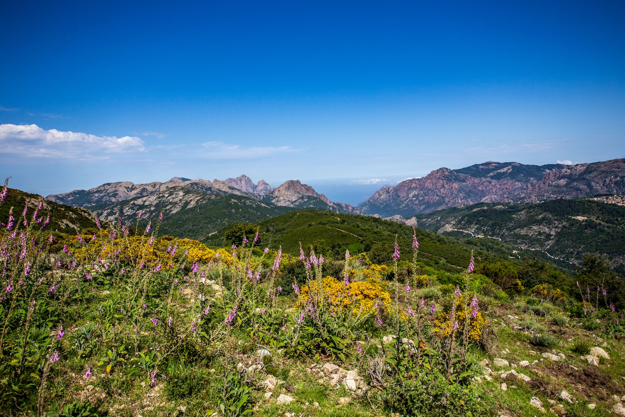
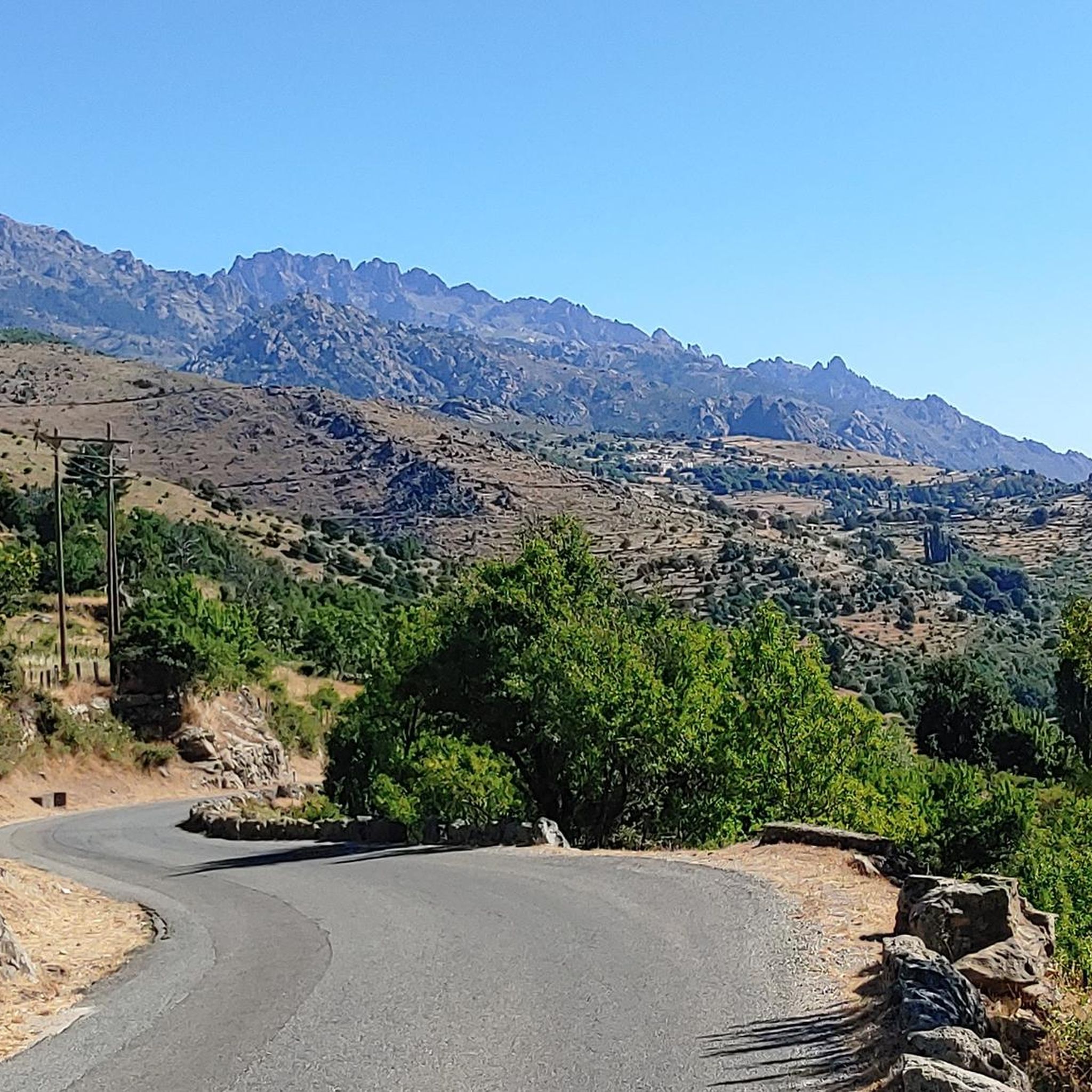
Best mountain passes around Calacuccia are situated in the Niolu valley of Corsica, surrounded by the Cinto and Rotondo massifs. This region features dramatic landscapes, including deep canyons and high-altitude lakes. The area provides access to numerous hiking trails and offers views of towering peaks. Calacuccia itself is a village located at 847 meters above sea level, with an artificial lake formed by the Golo River.
Best mountain passes around Calacuccia
- The most popular mountain passes is Bocca a Reta…
Last updated: July 10, 2026
Foggialle Pass
Highlight • Natural Monument
Translated by Google •
Tip by

Bocca alle Porte
Highlight • Mountain Pass
Translated by Google •
Tip by
Sign up now to discover places like this
Get recommendations on the best single tracks, peaks, & plenty of other exciting outdoor places.
Sign up for free
Bocca Tumasginesca (2183 m)
Highlight • Mountain Pass
Translated by Google •
Tip by
Bocca a Reta
Highlight • Mountain Pass
Translated by Google •
Tip by

Calacuccia
Highlight • Settlement
Translated by Google •
Tip by

Sign up for free to discover even more mountain passes around Calacuccia.
Sign up for free
Already have an account?
Start today with a free account
Your next adventure awaits.
Login or Signup

Other adventures around Calacuccia

Tips from the Community

The descent into the Cirque de Solitude has been impassable since a rockfall years ago. The GR 20 used to go there.
0
0

Coming from the Golo valley, steadily uphill across a meadow, along the stream, past bathing pools and the abandoned Bergerie de Tula, you reach the pass, you can see the Capu Tafunatu with the hole in the rock (50x10m!), which the devil is said to have punched with his ploughshare, the Refuge Ciottulu and what now follows: the steep descent onto rocks. It's quite a colorful rock: grey, red, blue, black, purple, green; large parts are broken into thousands of 5cm thick slices, are hard and mostly easy to walk or climb (smaller deposits), otherwise rubble in between.
0
0

spectacular crossing of the highest point of the GR 20. Steep and rocky!
0
0

La Bocca alla Porte is one of the most impressive passages of the GR 20. At around 2,200 meters above sea level, this passage is reached by means of a steep climb from the Manganu refuge. La Bocca delivers exceptional panoramas on the lakes of Capitello and Melo, as well as the valleys which it separates.
0
0
Perched at 1,962 meters above sea level, the Bocca di Foggialle deserves to offer one of the most emblematic panoramas of the GR 20. It is also close to the refuge of Ciottulu di i Mori.
2
0


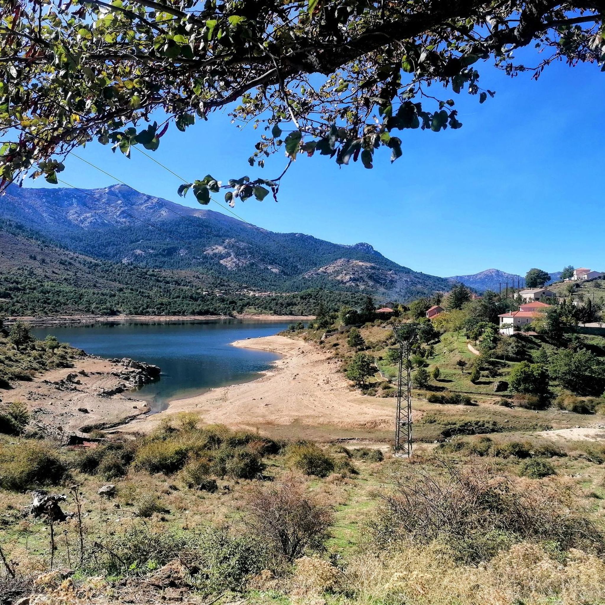
Calacuccia is a village located 847 meters above sea level. The geography here takes a very poetic turn in its naming, since geologically this island valley is named "Below the Mountains". As for the mountains that surround the village, they take the pretty name of "Crystal Corsica". A dam on the Golo River forms an artificial lake just below the town. The peaks of the Cinto massif are visible and invite you to come and hike. The highest of these mountains, which culminates at 2,525 meters above sea level, is called the Paglia Orba.
2
0

The path to Lac de Capitello branches off here at an altitude of approx. 2,000 m and continues to Corte.
0
0
Frequently Asked Questions
What are some of the most notable mountain passes and natural features around Calacuccia?
The region offers a variety of impressive passes and natural landmarks. The Bocca a Reta is a high point on a major trail with views of Lac de Nino. The Foggialle Pass provides emblematic panoramas of the GR 20, including views of Paglia Orba and Capu Tafunatu. Additionally, the Col de Vergio is Corsica's highest paved road pass, offering panoramic views and a prominent statue of Christ the King. While not a pass, the Scala di Santa Regina is a dramatic gorge with unique red granite formations and an ancient mule track.
What is the highest paved road pass in the Calacuccia region?
The Col de Vergio, also known as Bocca à Verghju, stands at 1,477 meters (or 1,478 meters) and is the highest paved road pass in Corsica. It offers breathtaking panoramic views and connects the Niolo region with the Deux-Sevi.
What makes the Scala di Santa Regina a unique place to visit?
The Scala di Santa Regina is a spectacular, wild, and rocky gorge carved by the Golo river, featuring unique red granite rock formations. Its name, 'Scala' (staircase), refers to the magnificent, winding stone paths that appear to be carved into the granite. It also boasts an ancient mule track, providing an immersive journey into the island's past. You can learn more about its history and natural beauty here.
Are there family-friendly activities or walks near the mountain passes?
Yes, Lac de Nino, often visited from the Col de Vergio, is an iconic hiking destination with routes ranging from easy to moderate, making it accessible for families. It features unique 'pozzi' (natural water holes) and semi-wild horses and cows grazing in lush meadows, perfect for a relaxing picnic.
What outdoor activities can I do near the mountain passes around Calacuccia?
The area around Calacuccia's mountain passes is excellent for various outdoor activities. You can find numerous hiking opportunities, including sections of the famous GR20. There are also dedicated hiking trails, running routes, and MTB trails, catering to different difficulty levels.
What is the best time of year to visit the mountain passes in this region?
The best time to visit depends on your activity. Spring and autumn are particularly beautiful for the Scala di Santa Regina, with wildflowers in spring and vivid colors in autumn. For higher passes like Col de Vergio, summer offers ideal hiking conditions, though winter provides a small ski slope. Some high-altitude passes, like Bocca alle Porte, can still be snowy even in June, requiring experience in such conditions.
What kind of views can I expect from the mountain passes?
The mountain passes around Calacuccia offer spectacular panoramic views. From Col de Vergio, you can see the Golo and Porto valleys, and the majestic Monte Cinto and Monte Rotondo massifs. Bocca alle Porte provides impressive views of Lac de Capitello and surrounding mountains, often with clouds hanging dramatically. Bocca Tumasginesca offers a view into the historic Cirque de la Solitude.
Are there any specific hiking trails near these mountain passes?
Many passes are integral to or provide access to significant hiking routes. The Col de Vergio is a starting point for sections of the GR20 and the Mare a Mare Nord, and leads to Lac de Nino. The Foggialle Pass is a key point on the GR 20. For a variety of options, explore the hiking guide for Calacuccia.
Can I find places to eat or stay near the mountain passes?
Calacuccia village itself, located at 847 meters above sea level, offers nice restaurants. While specific accommodation directly at every pass might be limited, the village serves as a central point for exploring the surrounding passes and provides amenities for visitors.
What are 'pozzi' and where can I see them?
'Pozzi' are unique spongy green turf formations with interconnected natural water holes. They are a distinctive feature of Lac de Nino, Corsica's second-largest lake, located at an altitude of 1,743 meters on the Camputile plateau. The area around Lac de Nino is known for its serene atmosphere and lush meadows.
What is the significance of the statue at Col de Vergio?
At the summit of Col de Vergio, there is a prominent 6-meter-tall, 25-ton granite statue of Christ the King. This landmark adds a unique cultural element to the natural beauty of the pass and serves as a recognizable point for visitors.
Most popular attractions around Calacuccia

Get inspired with the komoot mobile app


Explore more
See even more epic mountain passes by checking out these guides around Calacuccia:
