The best walks and hikes around Ollières
4.5
(354)
2,901
hikers
92
hikes
Hiking around Ollières offers access to varied landscapes, characterized by rolling hills, forested areas, and open terrain. The region features moderate elevation changes, with routes ascending to viewpoints like Mont Aurelien and Mount Olympe. Trails often traverse natural areas and can include sections near agricultural lands, providing a mix of environments for hikers. The area's geology supports a diverse range of flora, making it suitable for exploration on foot.
Best hiking trails around Ollières
- The most popular hiking route is…
Last updated: July 5, 2026
4.5
(4)
50
hikers
16.8km
05:35
690m
690m
Hard hike. Very good fitness required. Mostly accessible paths. Sure-footedness required.
7
hikers
5.31km
01:32
140m
140m
Easy hike. Great for any fitness level. Easily-accessible paths. Suitable for all skill levels.

Sign up for free
4.0
(1)
8
hikers
7.07km
02:22
330m
330m
Moderate hike. Good fitness required. Easily-accessible paths. Suitable for all skill levels.
6
hikers
5.59km
01:31
80m
80m
Easy hike. Great for any fitness level. Easily-accessible paths. Suitable for all skill levels.
6
hikers
4.96km
01:30
160m
160m
Easy hike. Great for any fitness level. Easily-accessible paths. Suitable for all skill levels.
Get access to more routes and recommendations from other explorers.
Sign up for free
Already have an account?
Our route recommendations are based on thousands of hikes, rides, and runs completed by other people on komoot.
Start today with a free account
Your next adventure awaits.
Login or Signup
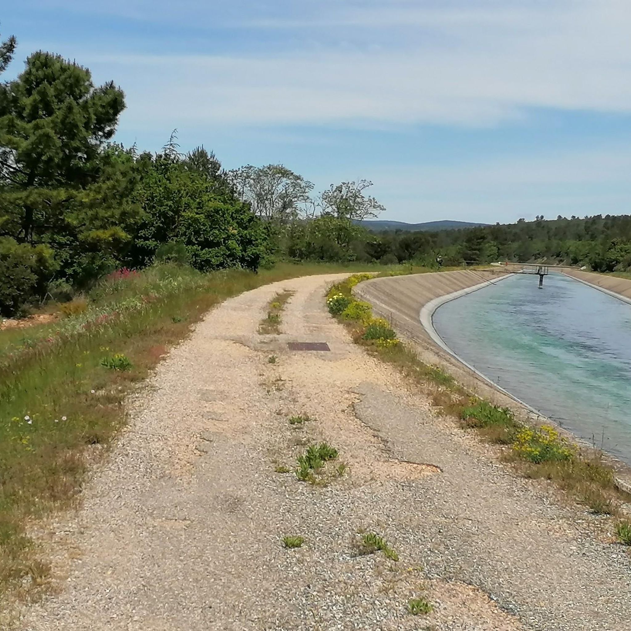
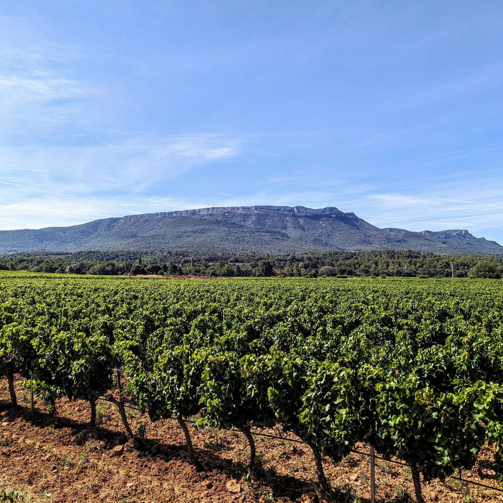
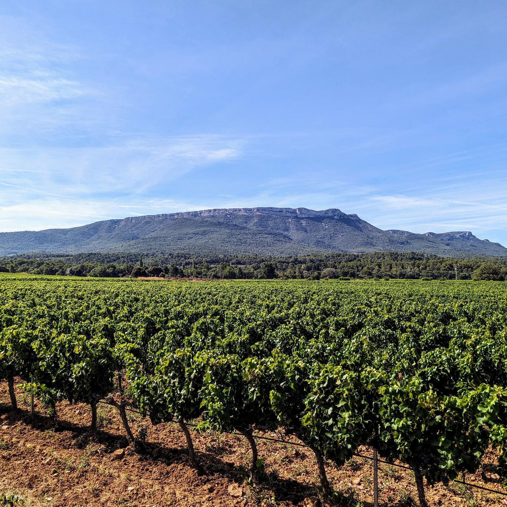
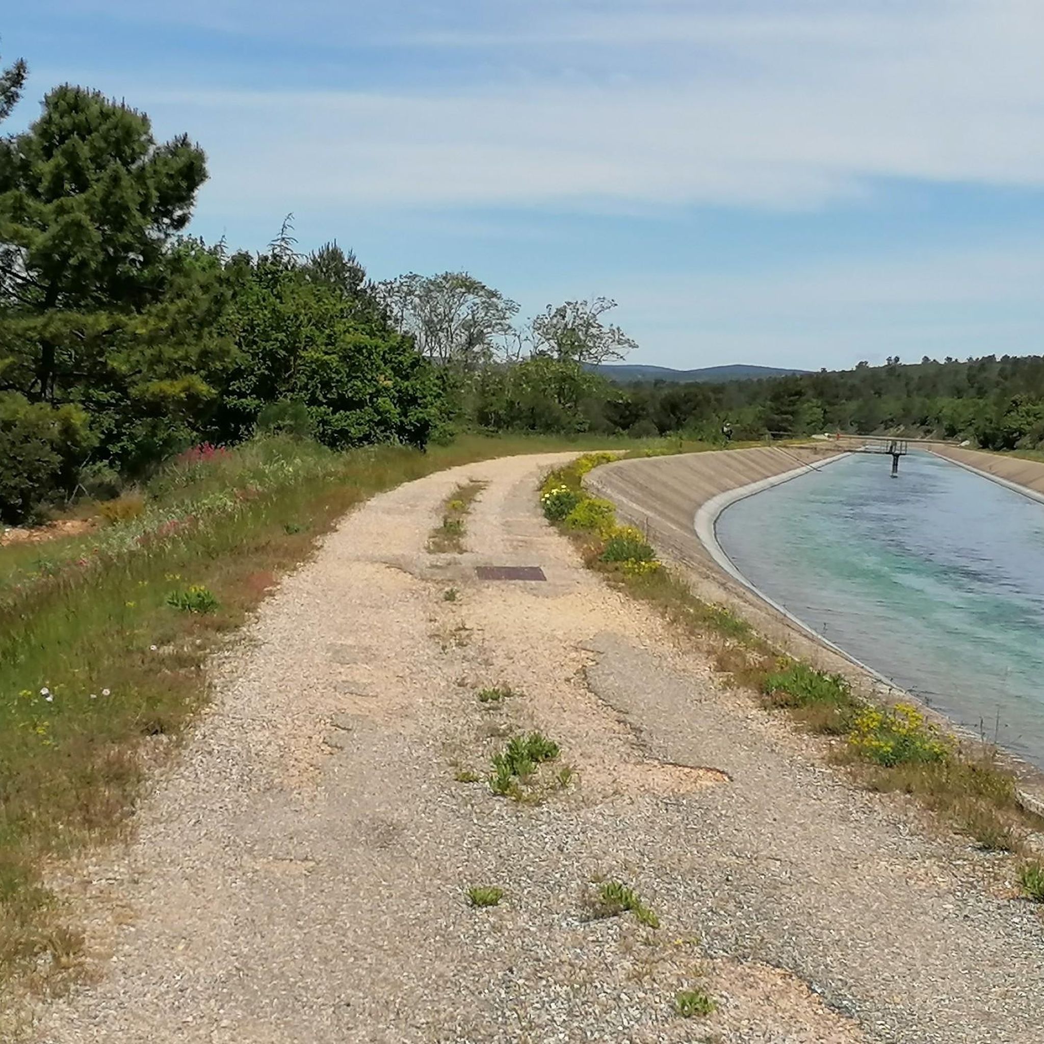

Tips from the Community

Frequently Asked Questions
How many hiking trails are available around Ollières?
There are over 60 hiking routes around Ollières, offering a diverse range of experiences for different skill levels.
Are there easy hiking trails suitable for beginners in Ollières?
Yes, Ollières offers 24 easy hiking routes. A good option for beginners is the Hiking loop from Saint-Maximin-la-Sainte-Baume, which is 4.3 miles (7.0 km) long and typically takes about 2 hours to complete.
What options are there for longer, more challenging hikes?
For those seeking longer distances and more challenging ascents, Ollières features several difficult routes. One such trail is the Domaine Viticole du Deffend – Mount Olympe loop from Saint-Maximin-la-Sainte-Baume, a 16.5 miles (26.6 km) path with expansive views.
Are there any circular walks available in the Ollières area?
Many of the trails around Ollières are designed as loops, allowing you to start and end at the same point. For example, the Mont Aurelien part 1 loop from Saint-Maximin-la-Sainte-Baume is a moderate 9.2 miles (14.8 km) circular route.
What kind of landscapes can I expect to see while hiking in Ollières?
Hiking in Ollières offers varied landscapes, characterized by rolling hills, extensive forested areas, and open terrain. You'll encounter moderate elevation changes, with routes ascending to viewpoints like Mont Aurelien and Mount Olympe, often traversing natural areas and agricultural lands.
What do other hikers enjoy most about the trails in Ollières?
The trails in Ollières are highly rated by the komoot community, with an average score of 4.6 stars from over 300 reviews. Hikers often praise the diverse terrain, the rewarding views from higher elevations, and the well-maintained paths that offer a mix of natural beauty.
Are there any interesting landmarks or attractions to see along the hiking routes?
Yes, several points of interest can be explored near the hiking trails. You might encounter historical sites like the Château de Saint-Martin-de-Pallières or natural viewpoints such as PUYLOUBIER GRAVEL SECTION. The Col des Portes also offers scenic views.
Are the hiking trails in Ollières suitable for families with children?
While the guide doesn't specifically list 'family-friendly' routes, the 24 easy trails are generally suitable for families looking for less strenuous walks. We recommend checking the distance and elevation gain for specific routes to ensure they match your family's capabilities.
Is there parking available at the trailheads in Ollières?
Many trailheads in the Ollières region, especially those starting from villages like Saint-Maximin-la-Sainte-Baume or Pourcieux, typically offer parking facilities. It's advisable to check specific route details on komoot for precise parking information before your hike.
Can I hike with my dog on the trails around Ollières?
Generally, dogs are welcome on many trails in the Ollières area, especially in natural and forested regions. However, it's always recommended to keep dogs on a leash and be mindful of local regulations, particularly near agricultural lands or protected areas. Specific komoot route details may offer more insight.
What is the best time of year to go hiking in Ollières?
The region's climate makes spring and autumn ideal for hiking, offering pleasant temperatures and vibrant natural colors. Summer can be warm, so early morning or late afternoon hikes are preferable. Winter hiking is also possible, though some higher elevation paths might require checking local conditions.
Are there any moderate difficulty hikes for those looking for a bit more challenge than easy trails?
Yes, Ollières features 38 moderate hiking routes. The Descent of the well – Domaine Viticole du Deffend loop from Saint-Maximin-la-Sainte-Baume is a moderate 8.6 miles (13.9 km) trail that provides a good balance of distance and elevation.
Most popular attractions around Ollières

Get inspired with the komoot mobile app


Explore more
Browse the best Hikes in other regions.
