The best MTB trails around Selonnet
4.3
(192)
1,190
riders
91
rides
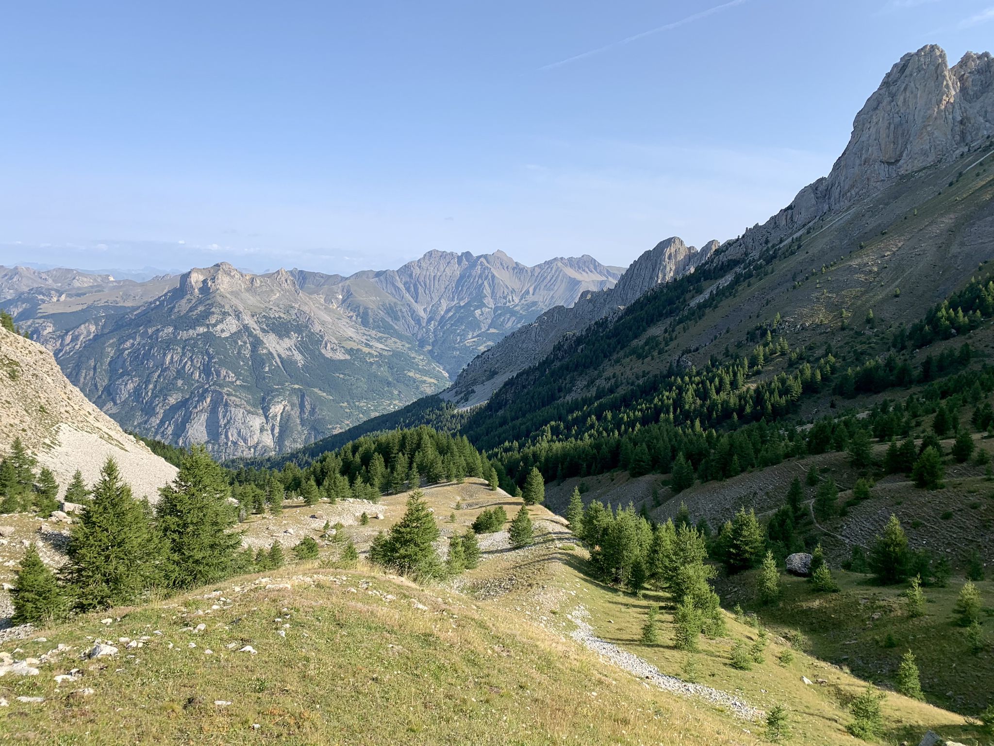
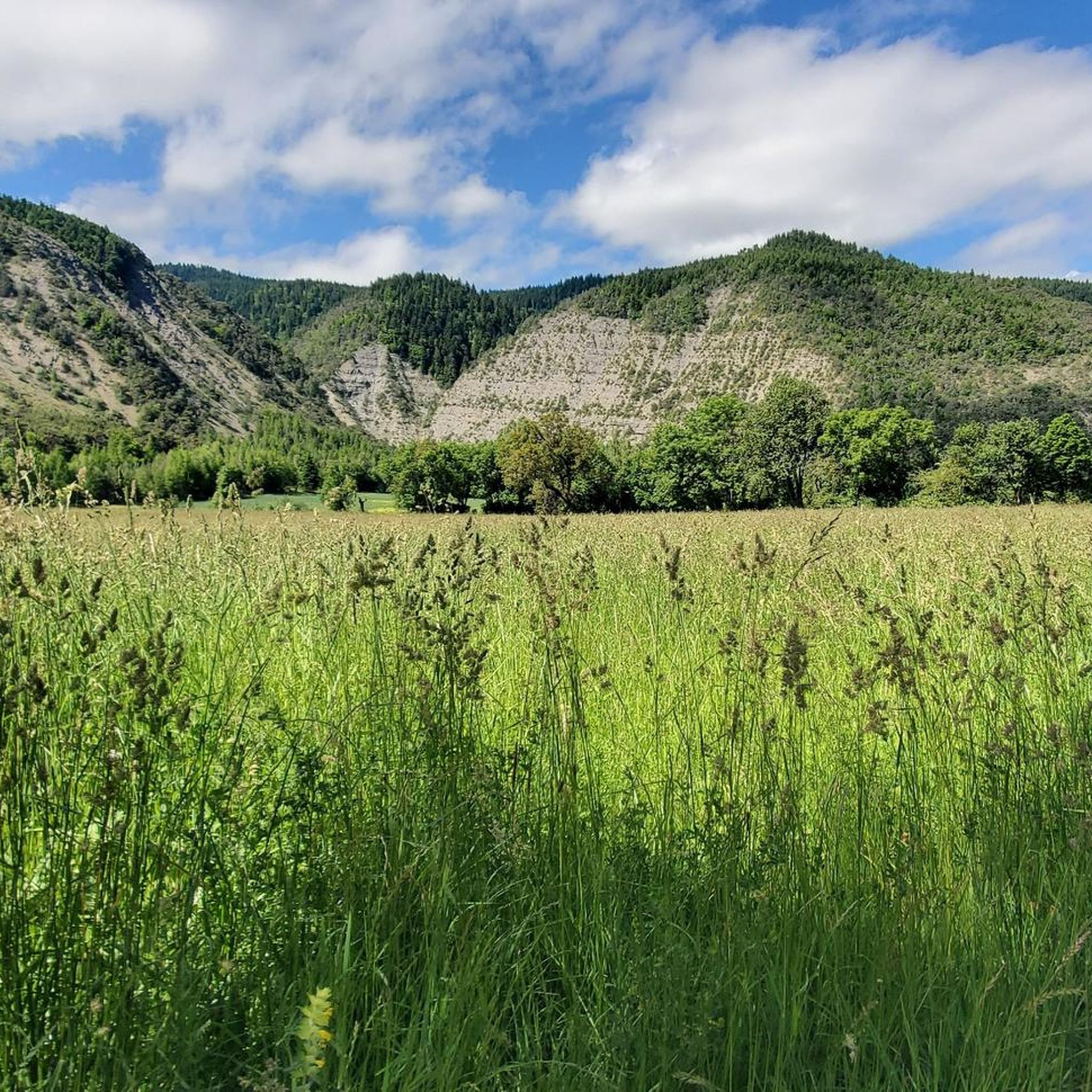
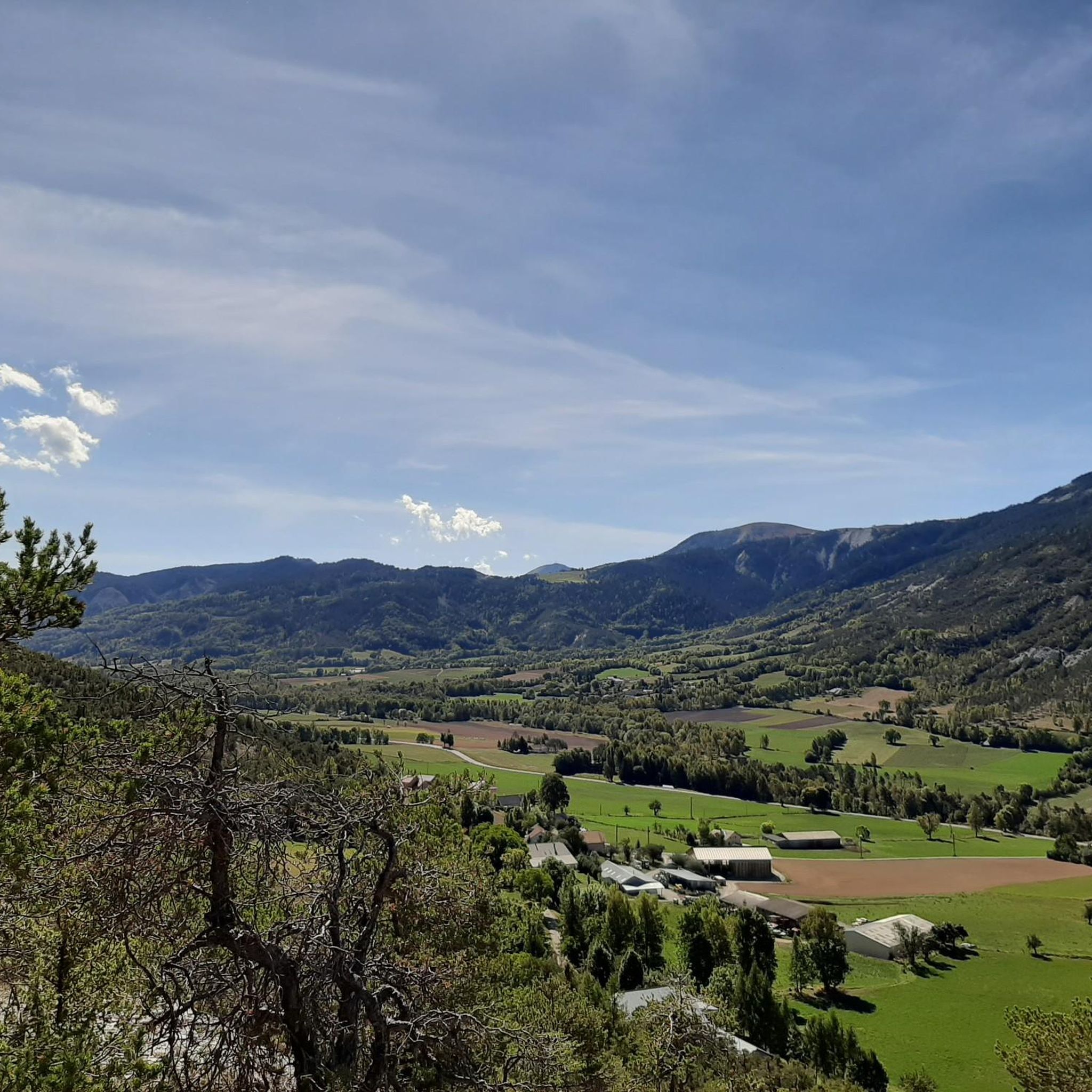
Mountain bike trails around Selonnet are set within the Alpes-de-Haute-Provence, a region characterized by diverse alpine scenery, valleys, and forests. The area features varied terrain suitable for mountain biking, including routes that traverse mountainous landscapes. This part of France provides an extensive network for mountain biking, with options ranging from lower-elevation paths to higher mountain passes within the Massif des Monges and Blanche Valley.
Best mountain bike trails in Selonnet
- The most popular mountain bike trail is Fanget Pass –…
Last updated: June 25, 2026
4.9
(8)
54
riders
24.2km
02:35
740m
740m
Moderate mountain bike ride. Good fitness required. Suitable for all skill levels.
4.6
(7)
33
riders
31.6km
03:08
830m
830m
Moderate mountain bike ride. Good fitness required. Suitable for all skill levels.

Sign up for free
38
riders
50.4km
06:17
2,220m
2,220m
Hard mountain bike ride. Very good fitness required. Advanced riding skills necessary. Some portions of the route may require you to push your bike.
5.0
(2)
17
riders
39.4km
04:22
1,480m
1,480m
Hard mountain bike ride. Very good fitness required. Suitable for all skill levels.
4.0
(1)
4
riders
15.0km
01:42
500m
500m
Moderate mountain bike ride. Good fitness required. Suitable for all skill levels.
Get access to more routes and recommendations from other explorers.
Sign up for free
Already have an account?
Our route recommendations are based on thousands of hikes, rides, and runs completed by other people on komoot.
Start today with a free account
Your next adventure awaits.
Login or Signup



Tips from the Community

A climb with gentle slopes.
14
0
Small town, here you can refill your water bottles.
14
0
The climb up this hill is very beautiful, with sections with difficult slopes.
13
0
A hill with excellent asphalt and sometimes difficult slopes.
11
0
Truly stupendous panorama, it leaves you breathless.
9
0

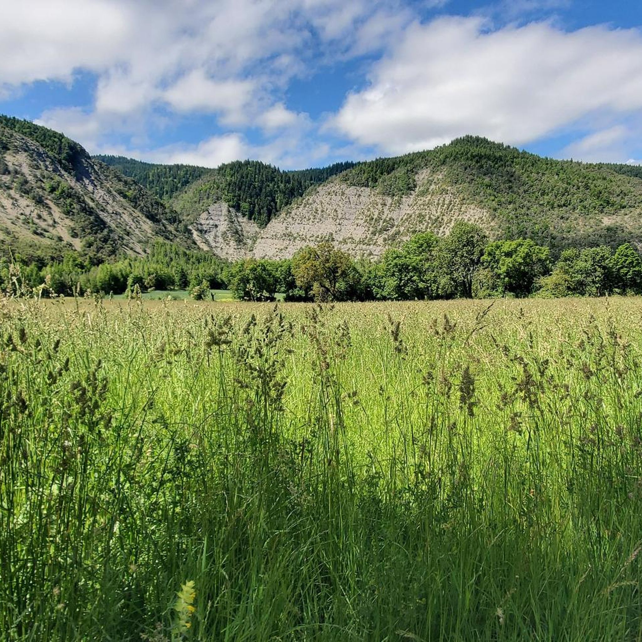
This village is located in the heart of the Blanche valley. Initially focused on agriculture, it moved towards tourism. Its ski resort is as pleasant in summer as in winter. Land of nature, its deep forest and pastures shelter exceptional fauna and flora. Which means it is placed under Natura 2000 protection.
1
0

Ideally located in the Blanche Serre Ponçon Valley in the Alpes de Haute-Provence, surrounded by beautiful scenery, Mont Chabanon is a delight for lovers of the outdoors and nature lovers. In winter, the ski resort offers a 35-piste ski area that stretches 40 kilometers. It also has a 3.5 km long ski slope with an altitude difference of 400 m that allows you to ski under the stars in a unique environment. Chabanon also has 25 km dedicated to Nordic skiing and snowshoeing in the heart of a huge pine forest. An impressive panorama at the top of Tête Grosse, the highest point of the town.
0
0

You can see very far. Super beautiful!
0
0
Frequently Asked Questions
How many mountain bike trails are available around Selonnet?
There are over 100 mountain bike trails around Selonnet, offering a wide range of options for different skill levels. This includes 9 easy routes, 56 moderate routes, and 35 difficult routes, ensuring there's something for every rider.
What kind of terrain can I expect on mountain bike trails near Selonnet?
The terrain around Selonnet is characterized by diverse alpine scenery, valleys, and forests, typical of the Alpes-de-Haute-Provence region. You'll find routes that traverse mountainous landscapes, offering varied surfaces from forest paths to more rugged, technical sections. The broader region, including areas like Terres Noires, is known for its unique sedimentary soil, which can lead to fast descents and challenging conditions.
Are there any easy or family-friendly mountain bike trails in Selonnet?
Yes, Selonnet offers several easy mountain bike trails suitable for families or those looking for a less strenuous ride. For example, the Mount Chabanon loop from Les Clots is an easy 6.2-mile (9.9 km) route with minimal elevation gain, making it a good option for a relaxed outing.
Are there mountain bike trails that offer scenic views or pass by natural landmarks?
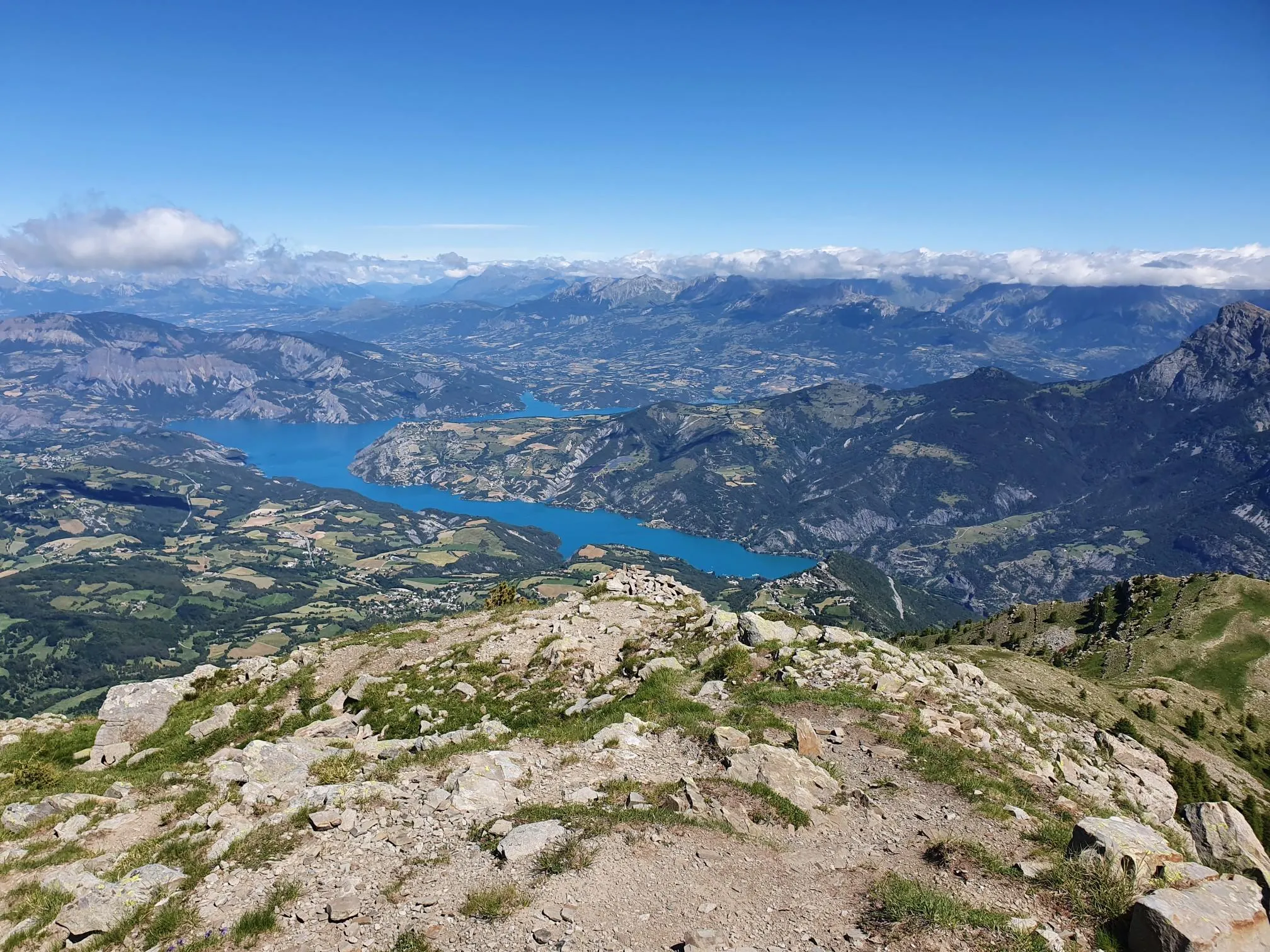
Many trails in the Selonnet area provide stunning alpine views and pass by notable natural features. The Col Saint Jean (1332 m) – View of Lac de Serre-Ponçon loop from Montclar offers panoramic vistas, including glimpses of the impressive Lac de Serre-Ponçon. Additionally, the region is home to the remarkable Serre-Ponçon Dam, a significant man-made monument, and various mountain passes like Col de Pontis and Col du Fanget (1,459 m), which are often part of scenic routes.
What do other mountain bikers say about the trails in Selonnet?
The mountain bike trails around Selonnet are highly regarded by the komoot community, with an average rating of 4.4 out of 5 stars from over 200 reviews. More than 1,300 mountain bikers have explored the area using komoot, often praising the diverse alpine scenery, varied terrain, and the extensive network of routes available.
Are there any circular mountain bike routes around Selonnet?
Yes, many of the mountain bike trails around Selonnet are designed as loops, allowing you to start and finish in the same location. Examples include the Fanget Pass – Col du Fanget (1,459 m) loop from Seyne, a challenging 19.4-mile (31.3 km) route, and the Mount Chabanon loop from Selonnet, a moderate 13.0-mile (20.9 km) option.
What is the best time of year for mountain biking in Selonnet?
The best time for mountain biking in Selonnet is generally from spring through autumn, when the weather is mild and the trails are clear of snow. While the region is near ski resorts, winter conditions can make many trails inaccessible or require specialized equipment. Always check local weather and trail conditions before heading out, especially in higher elevations.
Are there any specific landmarks or attractions to look out for while mountain biking?
Beyond the stunning natural landscapes, you can encounter several points of interest. The region is known for its mountain passes like Col des Garcinets and Col Bas. The nearby town of Seyne-les-Alpes also offers a charming stop. Geologically, the Erratic Block of Grosse Pierre, a massive glacial deposit, is a unique natural wonder in the wider area.
Are mountain bike trails in Selonnet generally dog-friendly?
While specific regulations can vary by trail and protected areas, many outdoor trails in the Alpes-de-Haute-Provence region are generally dog-friendly, especially if dogs are kept on a leash. It's always advisable to check local signage or specific trail guidelines before bringing your dog, and ensure they are well-behaved and don't disturb wildlife or other trail users.
What are the typical distances and elevation gains for mountain bike routes in Selonnet?
Mountain bike routes around Selonnet vary significantly in length and elevation. Moderate trails like the Seyne-les-Alpes loop from Seyne can be around 16.1 miles (25.9 km) with an elevation gain of approximately 2,600 feet (798 m). More challenging routes can feature even greater distances and ascents, reflecting the alpine nature of the region.
Are there options for parking or public transport access to the mountain bike trails?
While specific parking details for every trailhead are not available, Selonnet and surrounding villages typically offer parking facilities for visitors. For public transport, options might be more limited in this mountainous region. It's recommended to research local bus services or consider driving to trailheads, especially for routes starting from smaller hamlets.
Most popular attractions around Selonnet

Get inspired with the komoot mobile app


Explore more
Browse the best MTB trails in other regions.
