The best walks and hikes around Selonnet
4.4
(609)
4,270
hikers
123
hikes
Hiking around Selonnet offers access to a varied natural environment within the Blanche valley in the Alpes-de-Haute-Provence. The region is characterized by vast open spaces, lush pastures, dense forests, and rugged rocky peaks, particularly within the Massif des Monges, which can reach elevations of around 2,000 meters. Geological features, such as the Grosse Pierre erratic block, provide insight into the historical formation of the Southern Alps. The area also features a river and serves as a starting point for trails…
Last updated: July 9, 2026
4.3
(4)
15
hikers
5.71km
01:33
120m
120m
Easy hike. Great for any fitness level. Easily-accessible paths. Suitable for all skill levels.
4.8
(4)
21
hikers
7.07km
02:22
360m
360m
Moderate hike. Good fitness required. Easily-accessible paths. Suitable for all skill levels.

Sign up for free
20
hikers
23.1km
08:16
1,140m
1,140m
Hard hike. Very good fitness required. Mostly accessible paths. Sure-footedness required.
10
hikers
6.96km
02:01
190m
190m
Moderate hike. Good fitness required. Easily-accessible paths. Suitable for all skill levels.
20
hikers
5.52km
01:41
200m
200m
Easy hike. Great for any fitness level. Easily-accessible paths. Suitable for all skill levels.
Get access to more routes and recommendations from other explorers.
Sign up for free
Already have an account?
Our route recommendations are based on thousands of hikes, rides, and runs completed by other people on komoot.
Start today with a free account
Your next adventure awaits.
Login or Signup
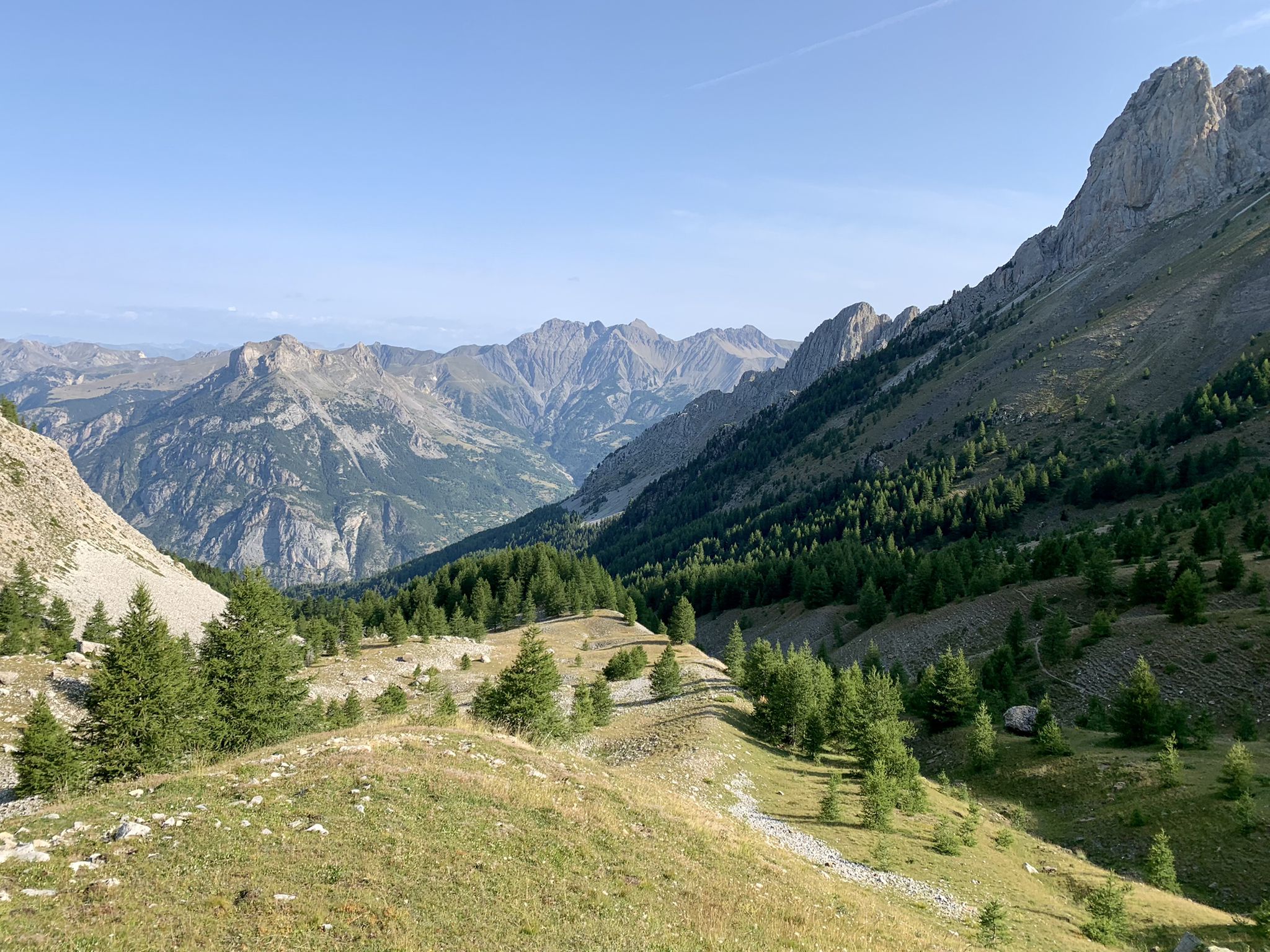
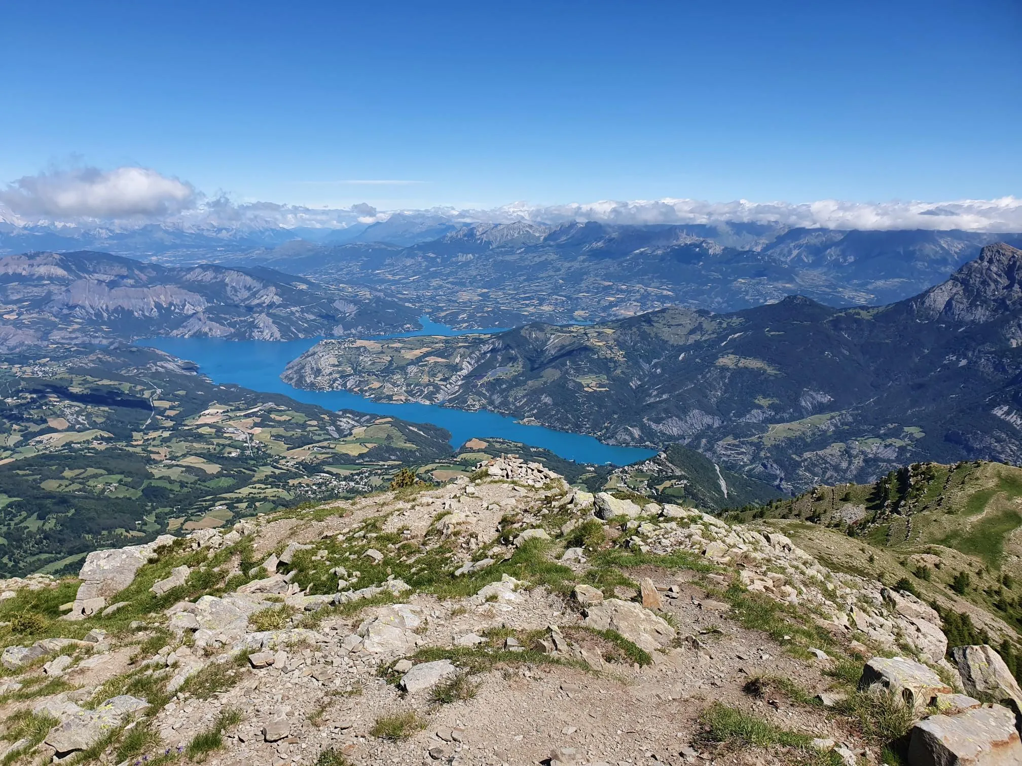
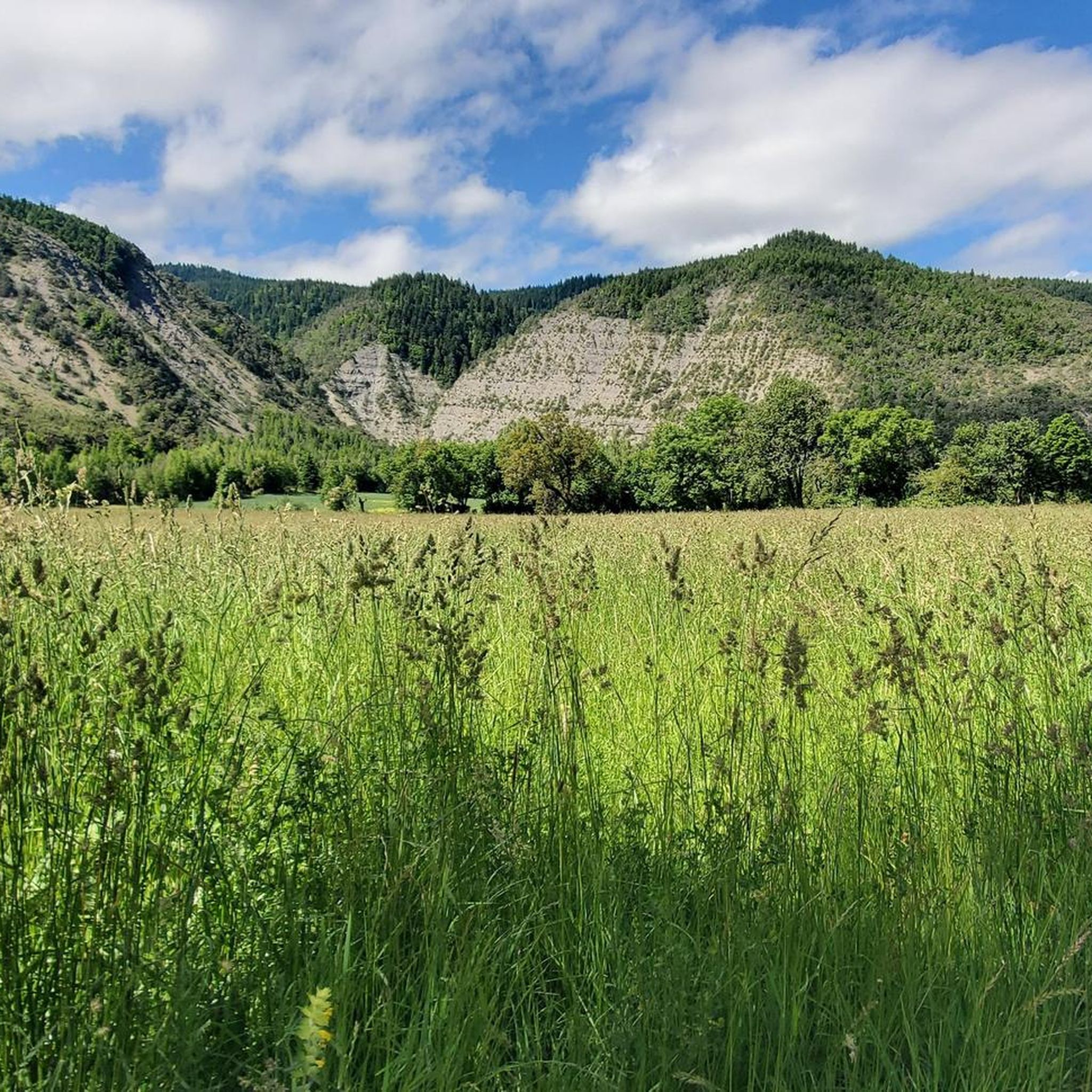



Tips from the Community

Completely false description, probably a mistake in location. We are here in the Alpes de Haute Provence. Larches and stone pines, but no umbrella pines. But above all, it is strictly forbidden to swim in the Col Bas lakes (see Prefectural Biotope Protection Order) and also prohibited from leaving mountain bike trails or marked trails.
1
0

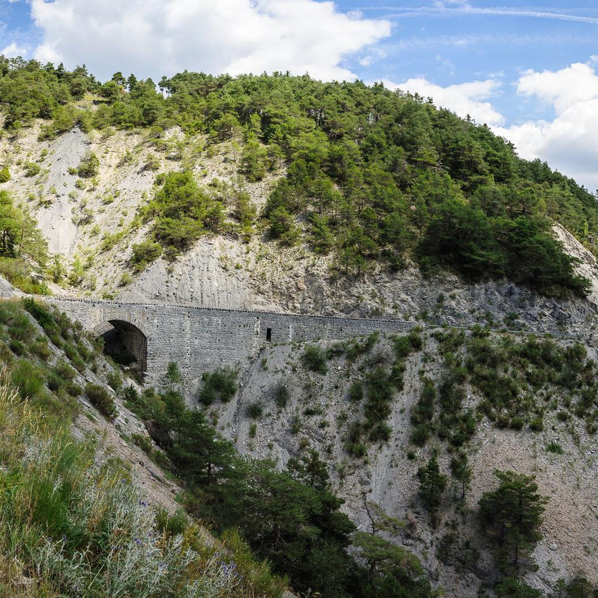
The climb up this hill is very beautiful, with sections with difficult slopes.
13
0
A hill with excellent asphalt and sometimes difficult slopes.
11
0
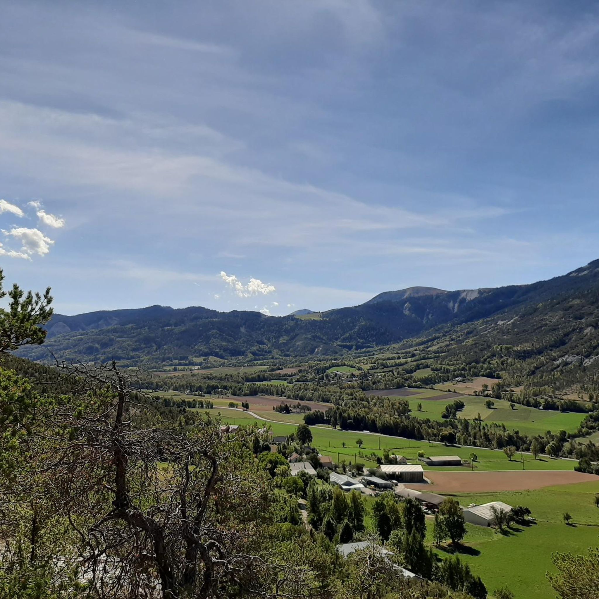
Truly stupendous panorama, it leaves you breathless.
9
0

The path above the Liberne district offers a beautiful unobstructed view of the Blanche valley as well as the village of Quellenet.
1
0
This village is located in the heart of the Blanche valley. Initially focused on agriculture, it moved towards tourism. Its ski resort is as pleasant in summer as in winter. Land of nature, its deep forest and pastures shelter exceptional fauna and flora. Which means it is placed under Natura 2000 protection.
1
0
Nestled between the Tête du Vallon du Loup and the Savernes peak, the Col Bas culminates at an altitude of 2,115 meters. It opens the way to the lakes of the same name located a little further below.
1
0

The Col Bas from La Ferrière is a climb in the Alpes-Maritimes region. It has a length of 1.7 kilometers and an ascent of 124 vertical meters with an average gradient of 7.2%, which implies a difficulty level of 110. The top of the ascent is located at 1,199 meters above sea level. A beautiful and hard climb to Col Bas, in which we cross a beautiful forest of larch and stone pines. The landscapes are incredible and you will have time to take a dip in one of the lakes higher up. The climb can be a bit steep but it is worth it for the landscapes of exceptional plant and animal richness.
1
0
Frequently Asked Questions
How many hiking trails are available around Selonnet?
Selonnet offers a wide array of hiking opportunities, with over 120 routes available for exploration. These trails cater to various skill levels, from easy walks to more challenging mountain ascents.
What kind of landscapes and natural features can I expect to see while hiking in Selonnet?
Hiking around Selonnet immerses you in a varied natural environment within the Blanche valley. You'll encounter vast open spaces, lush pastures, dense forests, and rugged rocky peaks, especially within the Massif des Monges, which reaches elevations of around 2,000 meters. Geological marvels like the Grosse Pierre erratic block and the scenic Blanche Valley river are also prominent features.
Are there any family-friendly hiking trails in Selonnet?
Yes, Selonnet has several easy trails suitable for families. One excellent option is La Grosse Pierre, an easy 3.5-mile (5.7 km) route that leads to a remarkable erratic block of stone, a significant geological feature that can be fascinating for all ages.
What do other hikers enjoy most about the trails in Selonnet?
The hiking trails in Selonnet are highly rated by the komoot community, with an average score of 4.4 stars from over 500 reviews. Hikers often praise the diverse terrain, from gentle valley walks to more challenging mountain paths, and the stunning natural beauty of the Blanche valley and Massif des Monges.
Are there any circular hiking routes in Selonnet?
Yes, many trails in Selonnet are designed as loops. For example, the Selonnet Village – Selonnet loop from Selonnet is a moderate 4.3-mile (6.9 km) route that allows you to explore the village and its surroundings without retracing your steps.
Are there any interesting landmarks or natural attractions to explore near Selonnet?
Absolutely. Hikers can discover several notable attractions. The Gorges de la Blanche offer dramatic scenery, while the Old and New Bridges at Pas de la Tour provide historical interest. The region also features various mountain passes like Col du Fanget (1,459 m), offering panoramic views.
What is the best time of year to go hiking in Selonnet?
Selonnet is an excellent hiking destination from spring through autumn. The warmer months offer lush landscapes and accessible trails. While primarily known for summer activities, the area around Chabanon Ski Resort also provides opportunities for winter hiking or snowshoeing, depending on conditions.
Are there any dog-friendly hiking trails in Selonnet?
Many trails in the Selonnet region are suitable for hiking with dogs, provided they are kept under control, especially in areas with livestock or wildlife. It's always recommended to check local signage for specific regulations, particularly within protected natural areas, to ensure a pleasant experience for everyone.
Are there any challenging hikes for experienced trekkers in Selonnet?
Yes, for experienced hikers, Selonnet offers more demanding routes. The Col de Bernardez – Col Bas loop from Seyne-les-Alpes is a difficult 14.4-mile (23.1 km) trail leading through mountain passes and high-altitude terrain, typically taking over 8 hours to complete.
Where can I find parking for hiking trailheads in Selonnet?
Parking is generally available near the main trailheads in and around Selonnet village, as well as at popular starting points like the Chabanon Ski Resort. As a 'Station Verte,' Selonnet is well-equipped for visitors, and specific parking information can often be found on local tourism websites or at the trailhead itself.
Are there any hikes with views of Lake Serre-Ponçon?
Yes, you can find trails that offer stunning vistas of Lake Serre-Ponçon. The View of Lake Serre-Ponçon – Clot la Cime loop from L'Eygave is a moderate 4.4-mile (7.1 km) path specifically known for its scenic views of the lake and the surrounding landscape.
Can I access hiking trails in Selonnet using public transport?
While Selonnet is a mountain village, some public transport options may connect it to larger towns in the region. For detailed and up-to-date information on bus routes and schedules that might provide access to specific trailheads, it is best to consult the local tourism office or regional transport services directly.
Most popular attractions around Selonnet

Get inspired with the komoot mobile app


Explore more
Browse the best Hikes in other regions.
