The best walks and hikes around Freychenet
4.5
(962)
7,468
hikers
223
hikes
Hiking around Freychenet offers a diverse landscape for outdoor activities. The region features varied terrain, including mountainous paths, forested areas, and routes that pass by natural features like caves and ponds. Elevation changes are common, with trails ranging from moderate climbs to more challenging ascents.
Best hiking trails around Freychenet
- The most popular hiking route is Hidden caves – Orry loop from Péreille, a 5.6 miles (9.1 km) trail that takes 2 hours 50 minutes to complete, featuring moderate…
Last updated: July 4, 2026
2.8
(6)
22
hikers
9.05km
02:50
340m
340m
Moderate hike. Good fitness required. Easily-accessible paths. Suitable for all skill levels.
5.0
(2)
38
hikers
12.8km
04:21
520m
520m
Moderate hike. Good fitness required. Mostly accessible paths. Sure-footedness required.

Sign up for free
4.8
(4)
34
hikers
13.4km
05:41
1,160m
1,160m
Hard hike. Very good fitness required. Easily-accessible paths. Suitable for all skill levels.
5.0
(3)
41
hikers
17.1km
06:14
780m
780m
Hard hike. Very good fitness required. Sure-footedness, sturdy shoes and alpine experience required.
4.5
(2)
25
hikers
12.5km
05:10
1,020m
1,020m
Hard hike. Very good fitness required. Easily-accessible paths. Suitable for all skill levels.
Get access to more routes and recommendations from other explorers.
Sign up for free
Already have an account?
Our route recommendations are based on thousands of hikes, rides, and runs completed by other people on komoot.
Start today with a free account
Your next adventure awaits.
Login or Signup


Tips from the Community

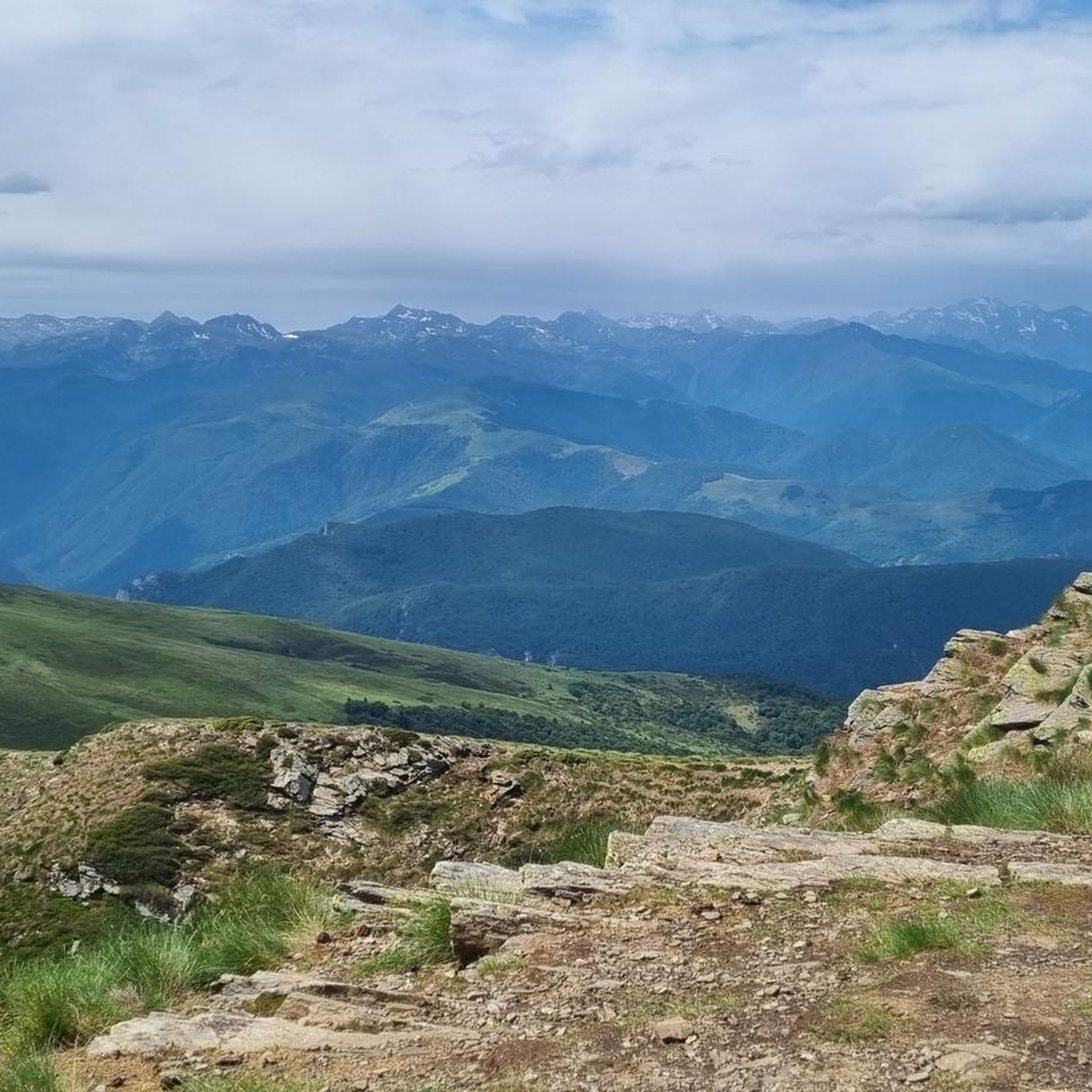
A magnificent location offering stunning views of the Ariège Pyrenees: the Montcalm Massif, the Bassiès Massif, the Beille Plateau, and more. Easily accessible from Croquié in both summer and winter, provided you're well-equipped and at least a little fit (800m+). Its only drawback: it's very crowded, especially in winter.
0
0

Possibility of bivouac and magnificent natural spectacle by numerous griffon vultures
1
1


Very beautiful passages in the gorge. The area is very wet so come with suitable tires.
0
0

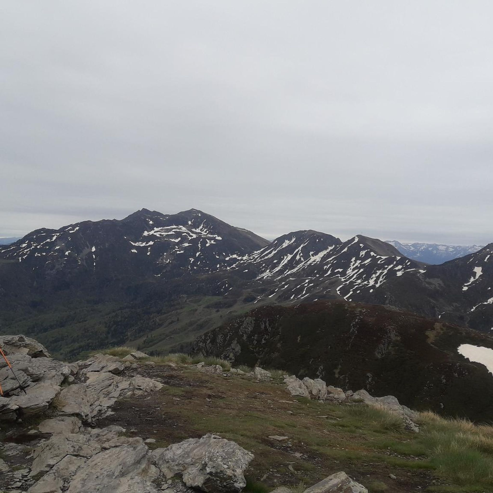
Mont Fourcat, in the Tabe massif, is certainly not the highest peak in Ariège but it is a classic with a superb view.
0
0
The Etang des Truites is a magnificent site which can be either a step towards the Pic Saint-Barthélemy for the more athletic, or a more accessible hiking objective.
0
0

Keep your eyes open, something exciting can be discovered everywhere
0
0

Frequently Asked Questions
How many hiking trails are available around Freychenet?
There are over 220 hiking trails around Freychenet, catering to various skill levels. You'll find 44 easy routes, 127 moderate paths, and 55 challenging trails for experienced hikers.
What kind of terrain can I expect on hikes in Freychenet?
Hiking around Freychenet is characterized by diverse terrain, including mountainous paths with significant elevation changes, dense forested areas, and routes that explore natural features like caves and ponds. You can expect a mix of ascents and descents, particularly on trails leading towards peaks like Mount Fourcat.
Are there any family-friendly hiking options in Freychenet?
While the guide data doesn't specifically highlight 'family-friendly' trails, many of the 44 easy routes would be suitable for families. Look for shorter, less strenuous loops that explore the forested areas or natural features without significant elevation gain.
Can I find circular hiking routes in Freychenet?
Yes, Freychenet offers several excellent circular hiking routes. A popular moderate option is the Hidden caves – Orry loop from Péreille, which is about 9.1 km long and takes around 2 hours 50 minutes. For a more challenging circular experience, consider the Les Trois Hommes Cairns – Mount Fourcat loop from Freychenet.
What natural attractions can I see while hiking in Freychenet?
Freychenet's trails lead to several interesting natural attractions. You can explore the dramatic Dolomites of Roquefixade, discover the Roquefort-les-Cascades Waterfalls, or visit the serene Devil's Pond. The region also features ancient trees and offers views of Mount Fourcat.
Are there any historical landmarks or castles accessible from the trails?
Yes, the area around Freychenet is rich in history. You can find trails that lead near or offer views of impressive historical sites such as Roquefixade Castle and the iconic Montségur Castle. The charming settlement of Roquefixade and the Notre-Dame de Sabart Chapel are also notable points of interest.
What do other hikers say about the trails in Freychenet?
The trails in Freychenet are highly regarded by the komoot community, holding an average rating of 4.5 stars from over 900 reviews. Hikers frequently praise the varied terrain, from challenging mountain ascents to peaceful forest paths, and the opportunity to explore natural features like caves and traditional mountain huts.
Are there any challenging multi-day hikes in Freychenet?
While the guide focuses on day hikes, the region's mountainous character and significant elevation gains on trails like the Les Trois Hommes Cairns – Mount Fourcat loop from Freychenet (13.4 km with over 1100m elevation gain) suggest that longer, more strenuous routes are possible by combining trails or extending existing ones. These would require careful planning and experience.
What is a good moderate hike that includes mountain huts?
For a moderate hike that offers a mix of forest and open terrain, passing by traditional mountain huts, consider the Cabane de l'orri – Cabane du Taulat loop from Montferrier. This route is approximately 13.9 km long and provides a good insight into the local mountain culture.
Is there a hike that features a pond or lake?
Yes, you can find routes that pass by serene water bodies. The Shepherd's Hut – Trout Pond loop from Montferrier is a more difficult option that includes a pond. Additionally, the Devil's Pond is a notable natural monument in the area.
Are there any specific trails known for cave formations?
Yes, if you're interested in exploring natural cave formations, the Hidden caves – Orry loop from Péreille is a moderate 9.1 km trail specifically noted for featuring natural cave formations along its path.
Most popular routes around Freychenet
Most popular attractions around Freychenet

Get inspired with the komoot mobile app


Explore more
Browse the best Hikes in other regions.
