The best running trails around Freychenet
4.5
(101)
4,923
runners
217
runs
Jogging around Freychenet offers challenging routes through a mountainous landscape. The region is characterized by prominent peaks like Mount Fourcat and high passes such as Col de Montségur, providing significant elevation changes. Running routes here often feature demanding ascents and descents, traversing varied terrain.
Best jogging routes around Freychenet
- The most popular jogging route is Mount Fourcat 2,002 m – Mont Fourcat Shelter loop from Freychenet, a 9.0 miles (14.5 km) trail that takes 2 hours 43 minutes to…
Last updated: July 2, 2026
43
runners
14.5km
02:47
1,180m
1,180m
Hard run. Very good fitness required. Sure-footedness, sturdy shoes and alpine experience required.
19
runners
17.8km
02:57
1,030m
1,030m
Hard run. Very good fitness required. Sure-footedness, sturdy shoes and alpine experience required.

Sign up for free
15
runners
12.8km
02:24
1,030m
1,030m
Hard run. Very good fitness required. Mostly paved surfaces. Suitable for all skill levels.
12
runners
22.6km
03:51
1,520m
1,520m
Hard run. Very good fitness required. Mostly paved surfaces. Suitable for all skill levels.
9
runners
14.0km
02:00
580m
580m
Hard run. Very good fitness required. Sure-footedness, sturdy shoes and alpine experience required.
Get access to more routes and recommendations from other explorers.
Sign up for free
Already have an account?
Our route recommendations are based on thousands of hikes, rides, and runs completed by other people on komoot.
Start today with a free account
Your next adventure awaits.
Login or Signup


Tips from the Community

The most distinctive feature in the design of Celtic crosses is the surrounding circle that connects the crossbars and the vertical beams. This circle is sometimes interpreted as a symbol for the sun; in accordance with this symbolism, Celtic crosses are sometimes also referred to as sun crosses. I found the following meditative reflection on this topic in the hospital chaplaincy of the Protestant deanery of Nassauer Land: "The sun cross is a special symbol of Celtic Christianity. It can become a symbol for spirituality. + What you can practice – the horizontal arm of the cross. Your conscious rituals, prayers, and moments of silence. The attention you give to the sacred. + What happens to you – the vertical arm of the cross. Experiences that touch and transform you. Moments in which you sense something greater than yourself. + What gives you meaning – the circle that encompasses both. Words, stories, and traditions that help to understand and share these experiences. Spirituality connects you with sources of strength that reach deeper than what you can see. For me, as a Christian, spirituality is a word for encountering the God who revealed himself in Jesus."
0
0

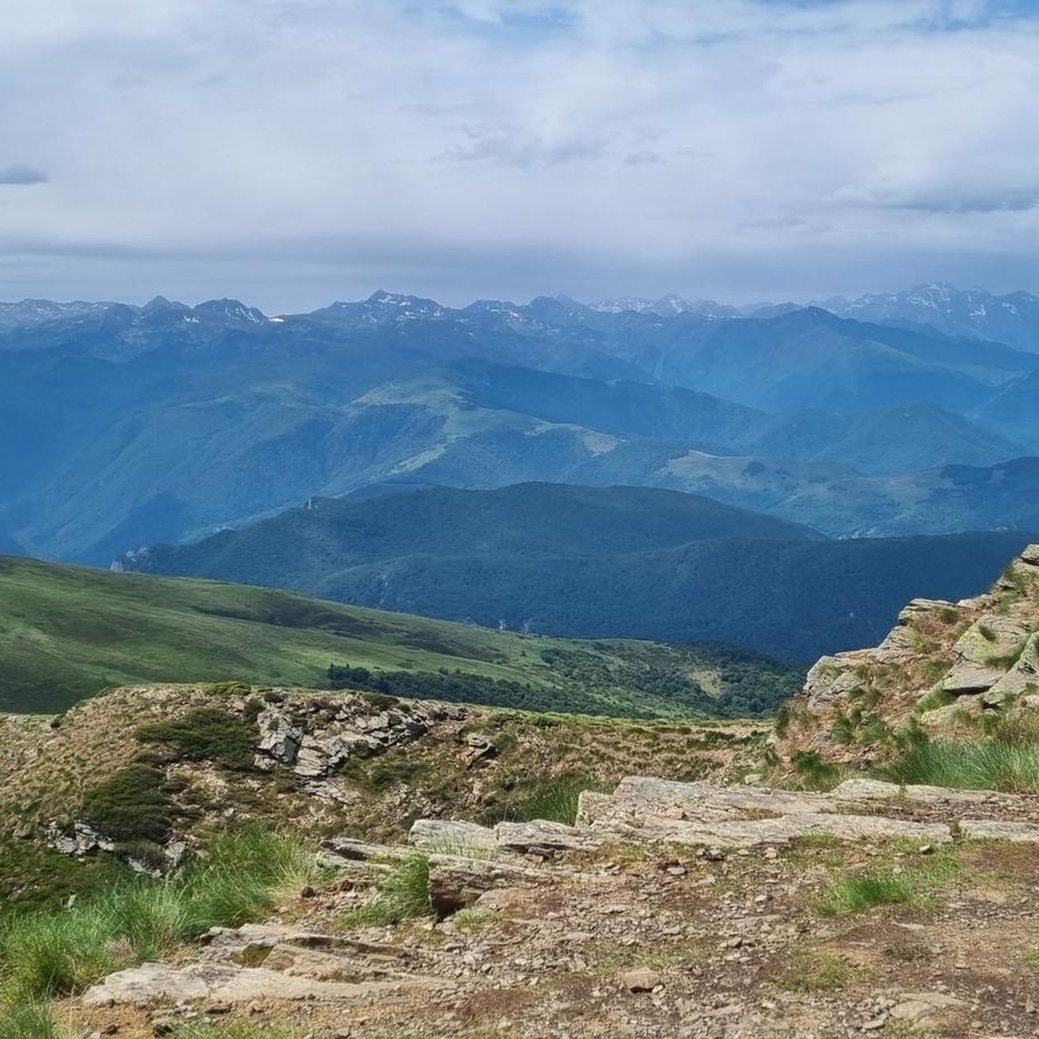
A magnificent location offering stunning views of the Ariège Pyrenees: the Montcalm Massif, the Bassiès Massif, the Beille Plateau, and more. Easily accessible from Croquié in both summer and winter, provided you're well-equipped and at least a little fit (800m+). Its only drawback: it's very crowded, especially in winter.
0
0

The most impregnable of the Cathar castles. The Cathars finally surrendered after an 11-month siege. The choice was conversion to the Roman Catholic Church or the stake. 200 Cathars chose the stake...
16
0

Possibility of bivouac and magnificent natural spectacle by numerous griffon vultures
1
1

A beautiful wayside cross, beautifully decorated with flowers during our visit; perhaps because it was two days after the summer solstice, which is said to be a very special experience here...
0
0
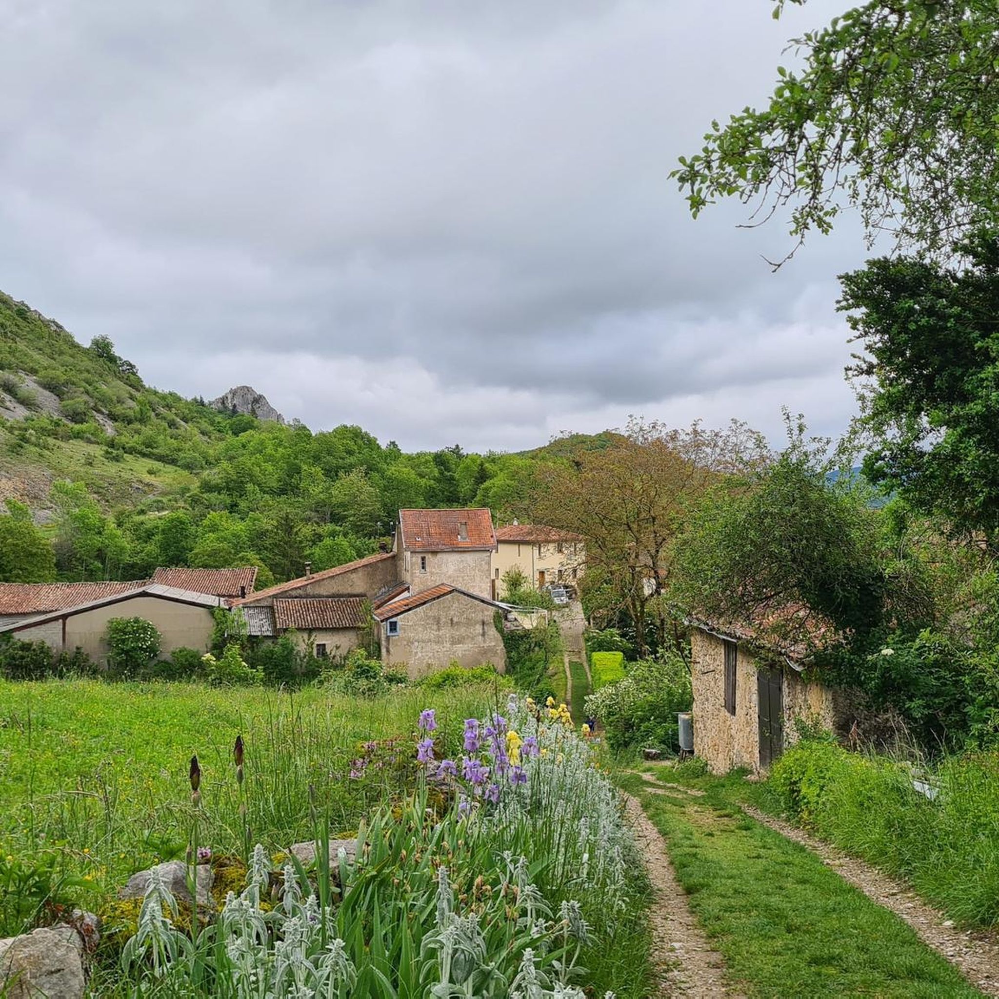
This castle was the only one of the larger and more famous Cathar castles we were missing... and the visit was totally worth it 🥰
0
0
Beautiful view of the "safe mountain" - the somewhat arduous climb is definitely worth it, because from the top you have a fantastic view ☺️
1
0

Frequently Asked Questions
How many running routes are available in Freycinet?
Freycinet offers a wide variety of running experiences, with nearly 200 routes available on komoot. These range from short, scenic jogs to challenging long-distance runs through the mountainous landscape.
What is the overall difficulty of jogging routes in Freycinet?
The jogging routes in Freycinet are predominantly challenging, with 139 routes rated as difficult. There are also 53 moderate routes and a few easier options, with 4 routes suitable for those seeking a less strenuous run. The region is known for its significant elevation changes and varied terrain.
What do other runners enjoy most about the trails in Freycinet?
The running trails in Freycinet are highly rated by the komoot community, with an average score of 4.4 stars from over 75 reviews. Runners often praise the expansive mountain views, the challenging ascents, and the diverse natural beauty, including the dramatic coastal scenery and unique pink granite mountains.
When is the best time of year for jogging in Freycinet?
The best times for jogging in Freycinet, offering clear skies and pleasant conditions, are during spring (September to November) and autumn (March to May). These seasons avoid the peak heat of summer and the cooler, potentially wetter conditions of winter.
Are there any circular running routes in Freycinet?
Yes, many of the running routes in Freycinet are designed as loops, allowing you to start and finish in the same location. For example, the challenging Mount Fourcat 2,002 m – Mont Fourcat Shelter loop from Freychenet offers expansive mountain views on a 9-mile circuit.
Are there any easy jogging routes for beginners or families in Freycinet?
While many routes in Freycinet feature significant elevation gain, there are a few easier options available. The region's diverse network includes 4 routes specifically rated as easy, which can be suitable for beginners or families looking for a more relaxed run. These often traverse coastal heath and offer gentler terrain.
Can I bring my dog on the jogging trails in Freycinet National Park?
Freycinet National Park has specific regulations regarding pets. Generally, dogs are not permitted on walking tracks or in national park campgrounds to protect native wildlife. It's always best to check the official Parks Tasmania website for the most current rules and designated dog-friendly areas before planning your run. You can find more information on the official Parks Tasmania website.
Are there any waterfalls to see while running in Freycinet?
Yes, the region around Freycinet features some beautiful natural attractions. You can find the Roquefort-les-Cascades Waterfalls, which offer a refreshing sight and a pleasant detour from your running path. These are listed among the natural monuments in the area.
What kind of landscapes can I expect to see on a run in Freycinet?
Jogging in Freycinet offers incredibly diverse landscapes. You'll encounter dramatic coastal scenery with towering pink granite mountains known as 'The Hazards', pristine white sand beaches like Wineglass Bay, and clear azure waters. The trails also wind through dry sclerophyll forests, woodlands, and coastal heath, providing a rich variety of flora and fauna.
Are there any routes with significant elevation gain for a challenging run?
Absolutely. Freycinet is renowned for its challenging routes with substantial elevation gain. For instance, the Mount Fourcat 2,002 m loop from Montferrier covers over 14 miles and features more than 1,500 meters of ascent, making it a demanding option for experienced runners.
Where can I find parking for the jogging trails in Freycinet?
Freycinet National Park has designated parking areas, particularly near popular trailheads and the Visitor Centre. It's advisable to arrive early during peak seasons to secure a spot. Specific parking information for individual trail starts can often be found on komoot route details or on official park signage.
Are there any viewpoints or scenic spots along the running paths?
Yes, Freycinet is famous for its breathtaking viewpoints. Many trails lead to spectacular lookouts, such as the one overlooking Wineglass Bay, offering panoramic views of the iconic curved beach and azure waters. You'll also find numerous spots along the coast and in the mountains to admire the pink granite formations and the vast ocean.
What are some unique natural features to look out for on the trails?
Beyond the famous Wineglass Bay, keep an eye out for the distinctive pink granite mountains, 'The Hazards', which glow beautifully at sunrise and sunset. You might also encounter unique eroded granite formations along rocky coves, and diverse plant life in the coastal forests and heathlands, including over 80 species of orchids. Don't miss the Mount Fourcat summit for incredible vistas.
Most popular routes around Freychenet
Most popular attractions around Freychenet

Get inspired with the komoot mobile app


Explore more
Browse the best Running Trails & Routes in other regions.
